Bike commute from Primrose Park to Pointe-Gatineau

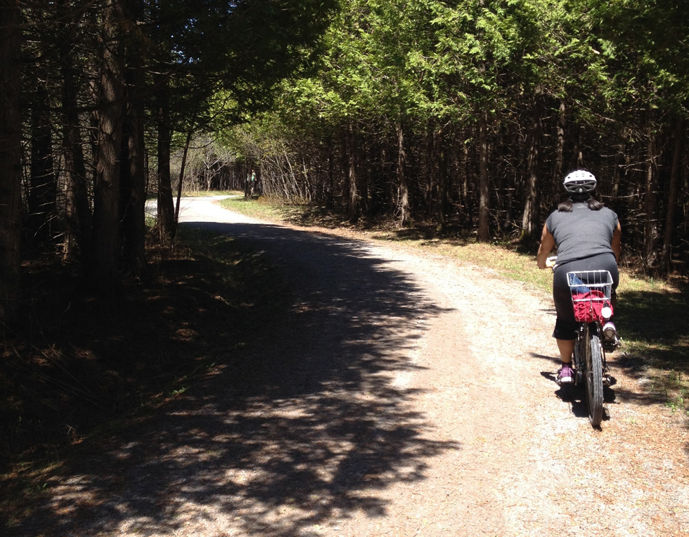
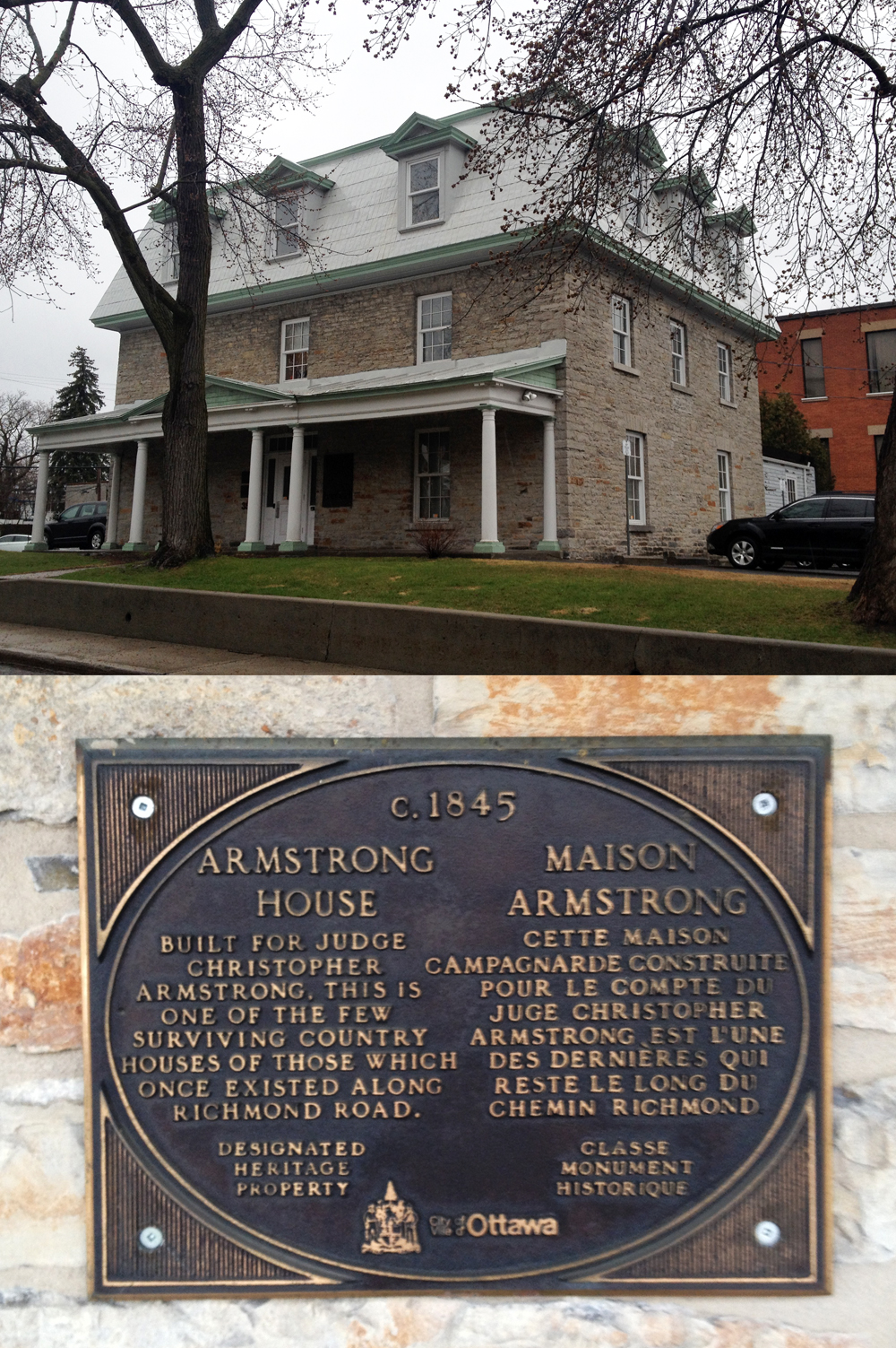
Beth is seeking safe ways to bike commute from the northern section of Little Italy to the eastern edge of Pointe-Gatineau. I scouted out a route that is almost entirely along bike paths, as identified by the blue line on the map below. Red line is the slight variation I took on the way back. Green line is another route Beth test rode last week that is also almost entirely along bike paths, however the path was flooded in a few areas near the confluence of the Gatineau and Ottawa Rivers forcing her to do a bit of a detour. It’s a great route too, best ridden a little later in the season. UPDATE 2017: (see pink line on following map) There’s a great new bike lane on the east side of the Gatineau that runs between Rue Jacques Cartier and the Ottawa River which joins up with the Route Vert path heading north, then the bike lanes along Montée Paiement. This takes you straight to our final destination. This new section is described in this post.

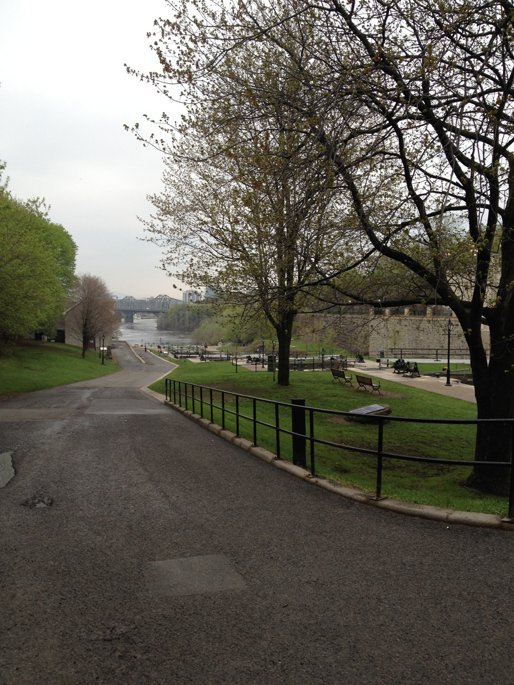
We begin at the recently renovated Primrose Park, corner of Primrose and Rochester St.

And away we go!
And away we go!

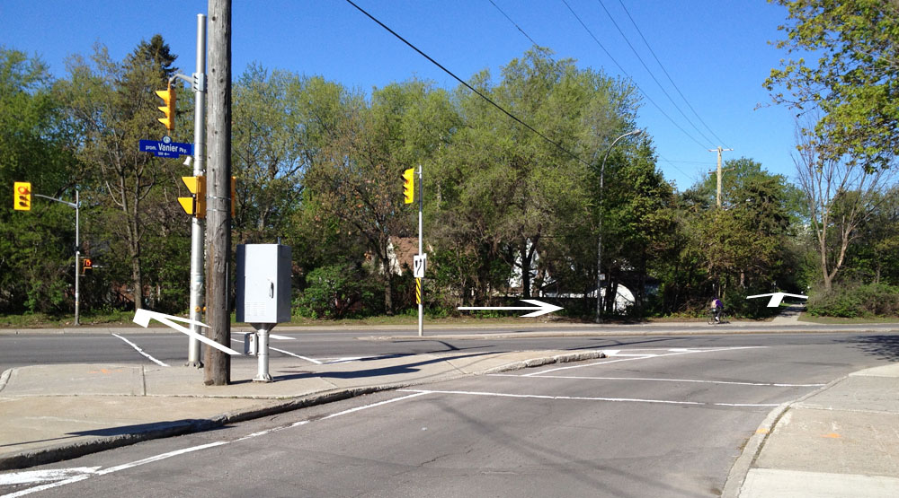
There is a short path at the northwest corner of the park that cuts through to a lane that leads to Preston St.

Path to Preston St
Path to Preston St

I turned north on Preston and rode half a block to the lights at Albert, crossed at the lights and rode east along the bike path.

Looking across the to the bike path heading east along Albert.

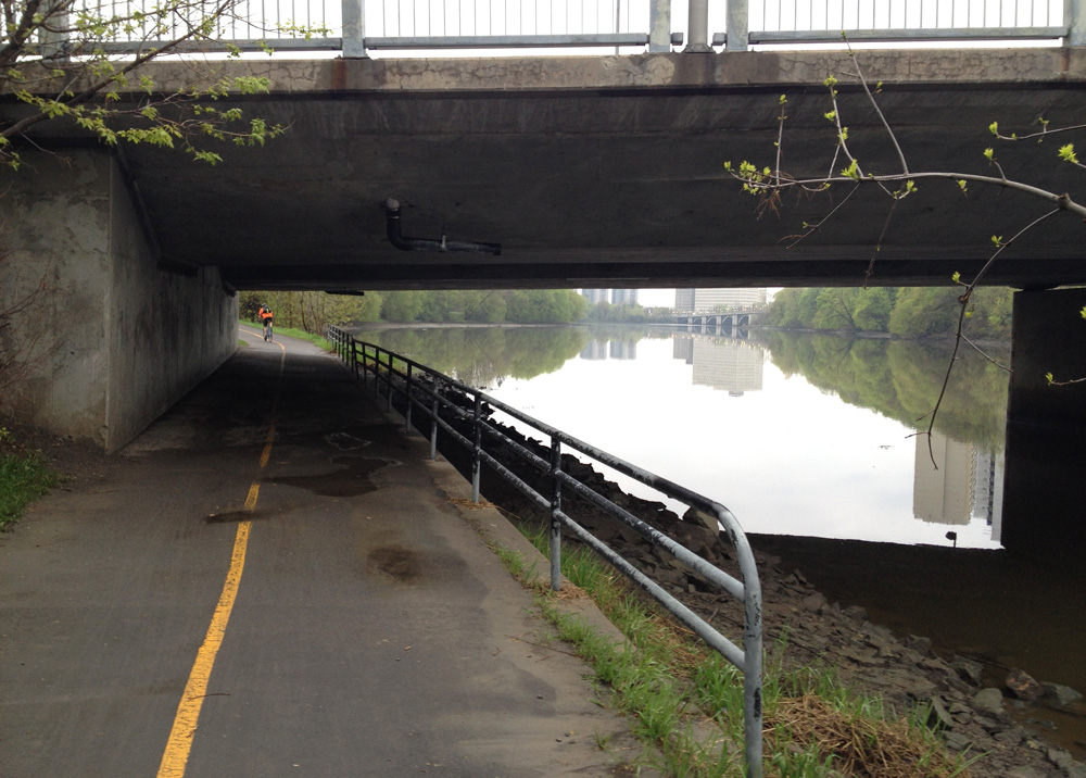
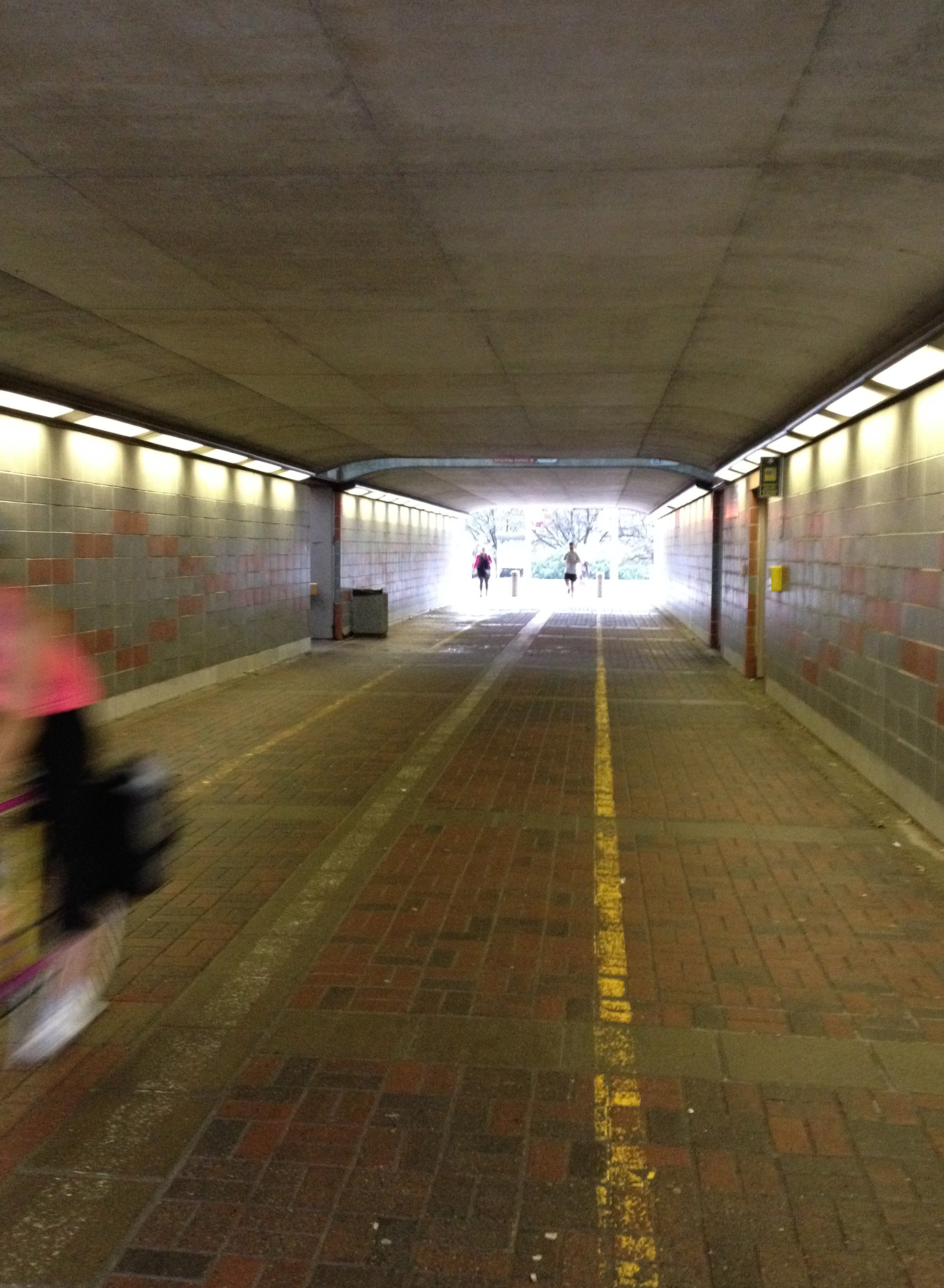
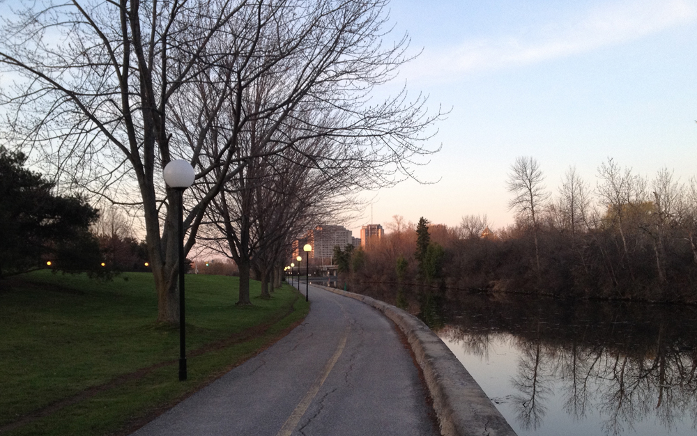
I turned left off the path onto bumpy Commissioner St, which leads to the Ottawa River Pathway which continues under Wellington St.

Down Commissioners st onto bike path.

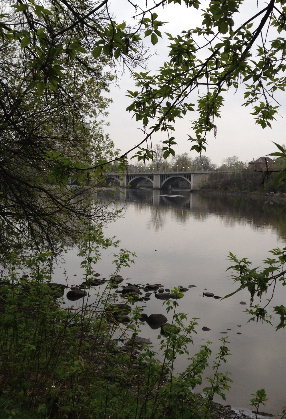
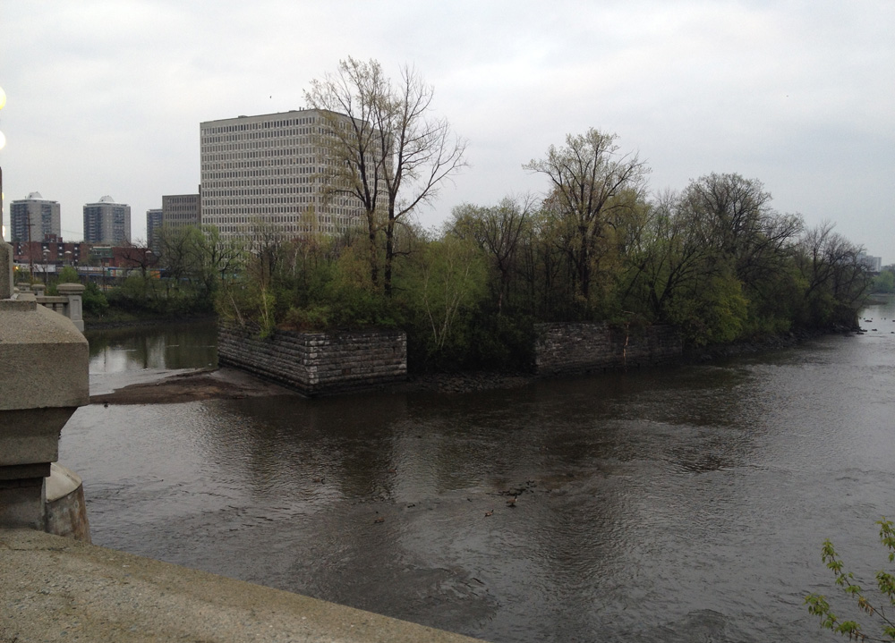
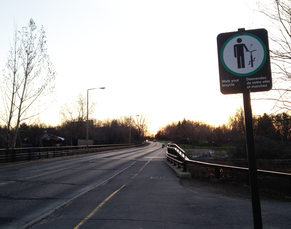
Once beyond the Wellington St underpass I turned left up along the path over the Portage Bridge. On the other side of the bridge I turned right onto the Voyageurs Pathway and circled under the Portage Bridge and headed east.

Voyageurs pathway access off the Portage Bridge

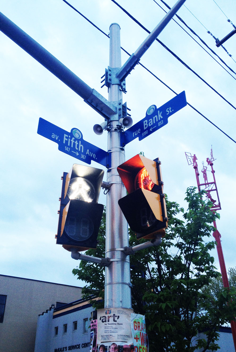
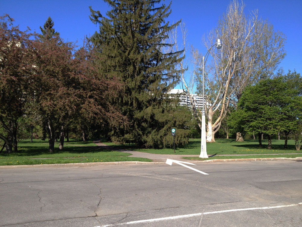
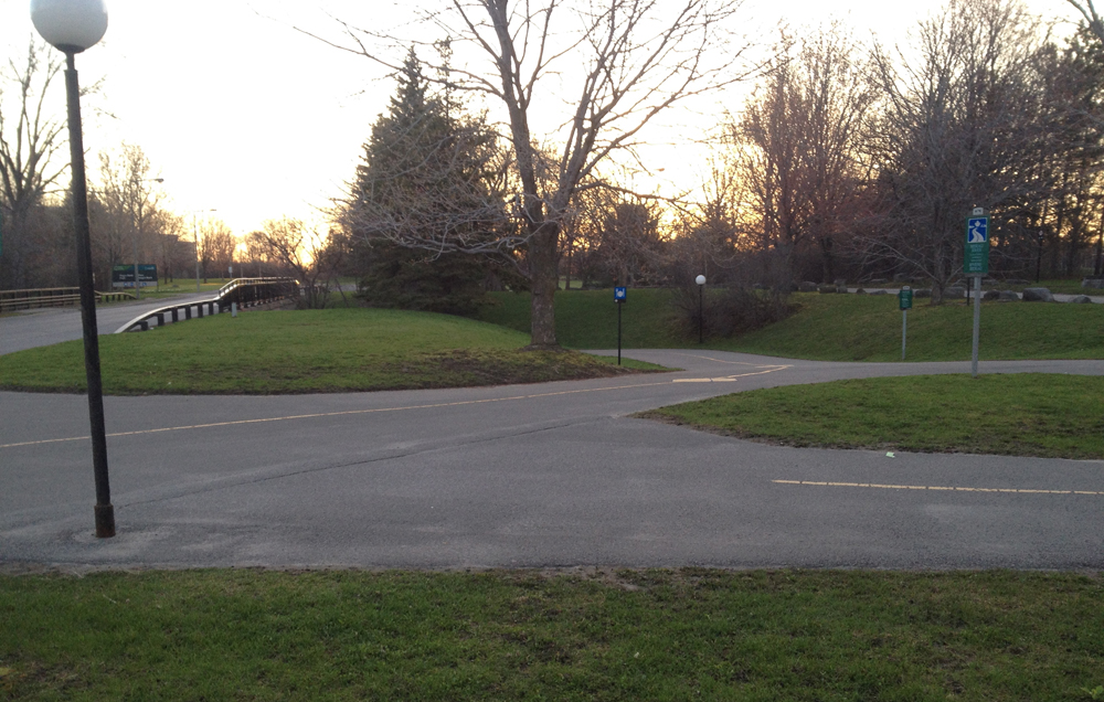
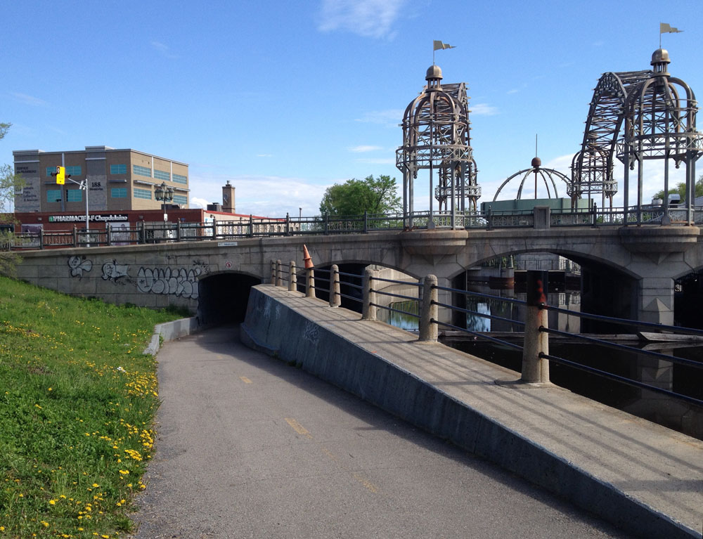
I crossed Boulevard Alexandre-Taché at the lights at the corner of Rue Montcalm and joined the Ruisseau-de-la-brasserie Pathway like so.

Start of the Ruisseau-de-la-brasserie Pathway at the north west corner of Montcalm and Alexandre-Taché

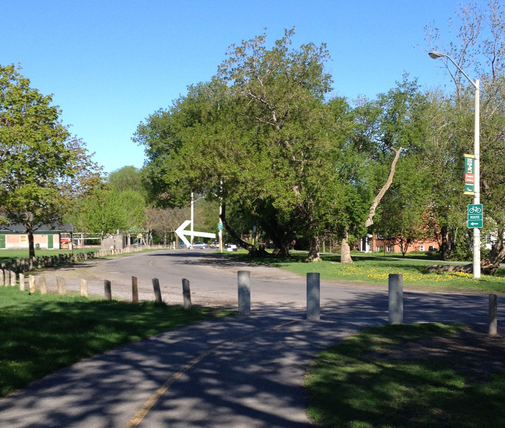
The path takes a short detour around construction just in front of Théâtre de L’Île. It’s a short detour around the parking and over the canal bridge. Once on the other side of the bridge I turned right onto Rue Taylor which hugs the side of the stream, eventually becoming the Ruisseau-de-la-brasserie Pathway at it’s northern end once again.

Rue Taylor along the western side of the ruisseau

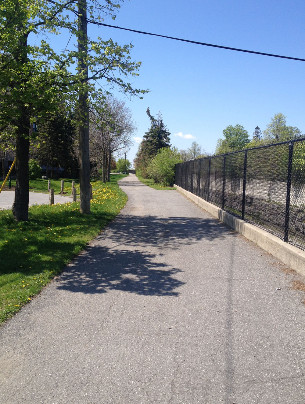
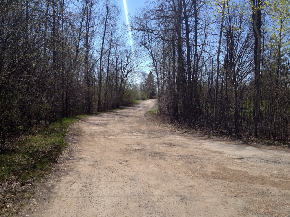
The path dips down and under Rue Montcalm and meanders along the ruisseau for quite a spell.

Ruisseau-de-la-brasserie Pathway as it dips under Rue Montcalm

The path eventually goes back over the ruisseau and continues downstream on the other side.

Continuing on the Ruisseau-de-la-brasserie Pathway

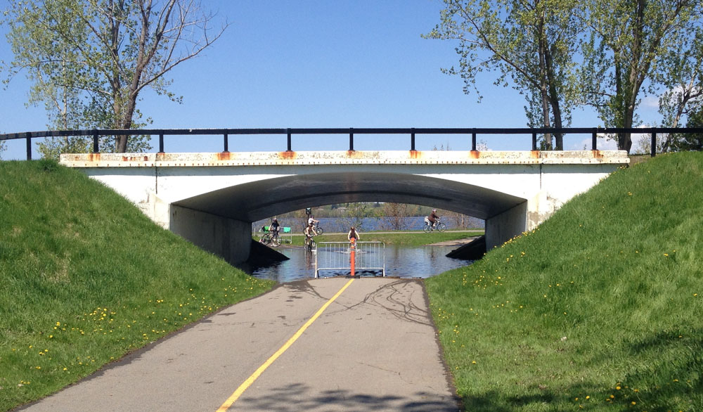
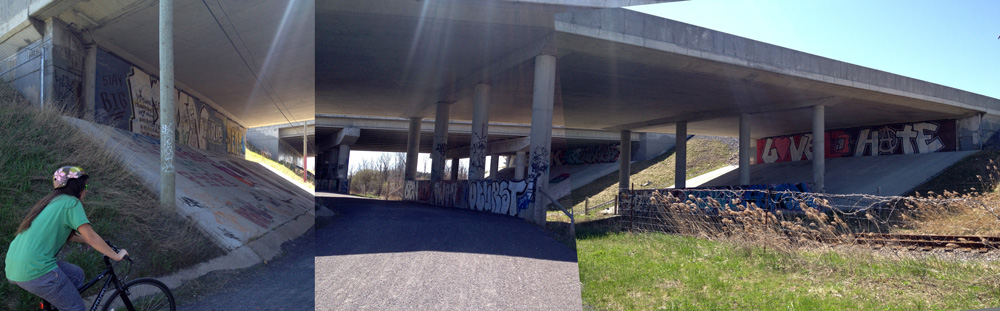
The path continues under Highway 5, however there were these P-gates just before the underpass and a sign warning that it may be flooded.

Ruisseau-de-la-brasserie Path just before going under Boulevard des Allumettières

A cyclist popped out from the other side just as I approached and reassured me that there was only about a couple of inches of water across the path, so I went and took a look, and she was right, so I rode on through.

Ruisseau-de-la-brasserie Pathway heading under the Boulevard des Allumetières
Ruisseau-de-la-brasserie Pathway heading under the Highway 5

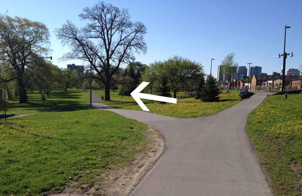
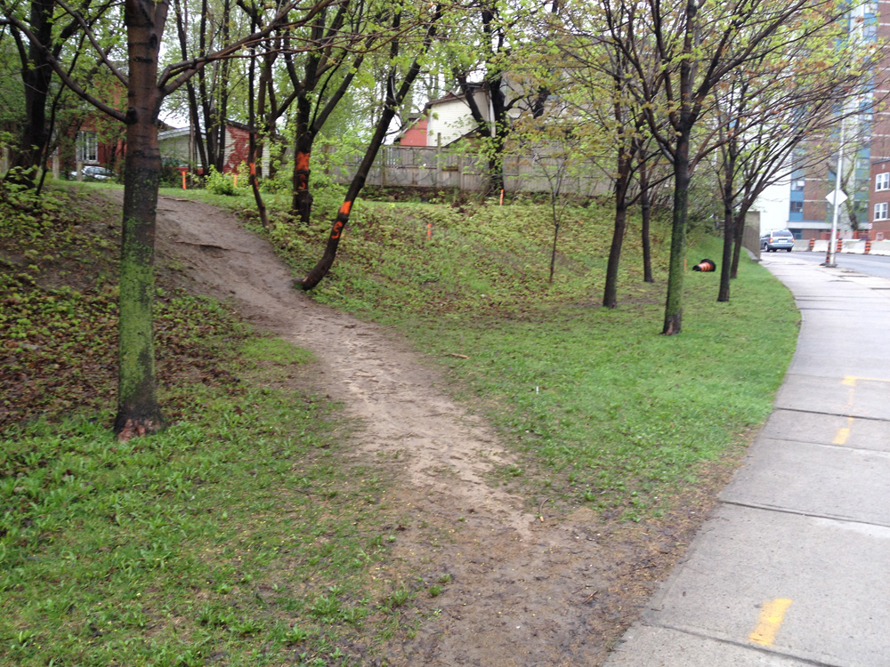
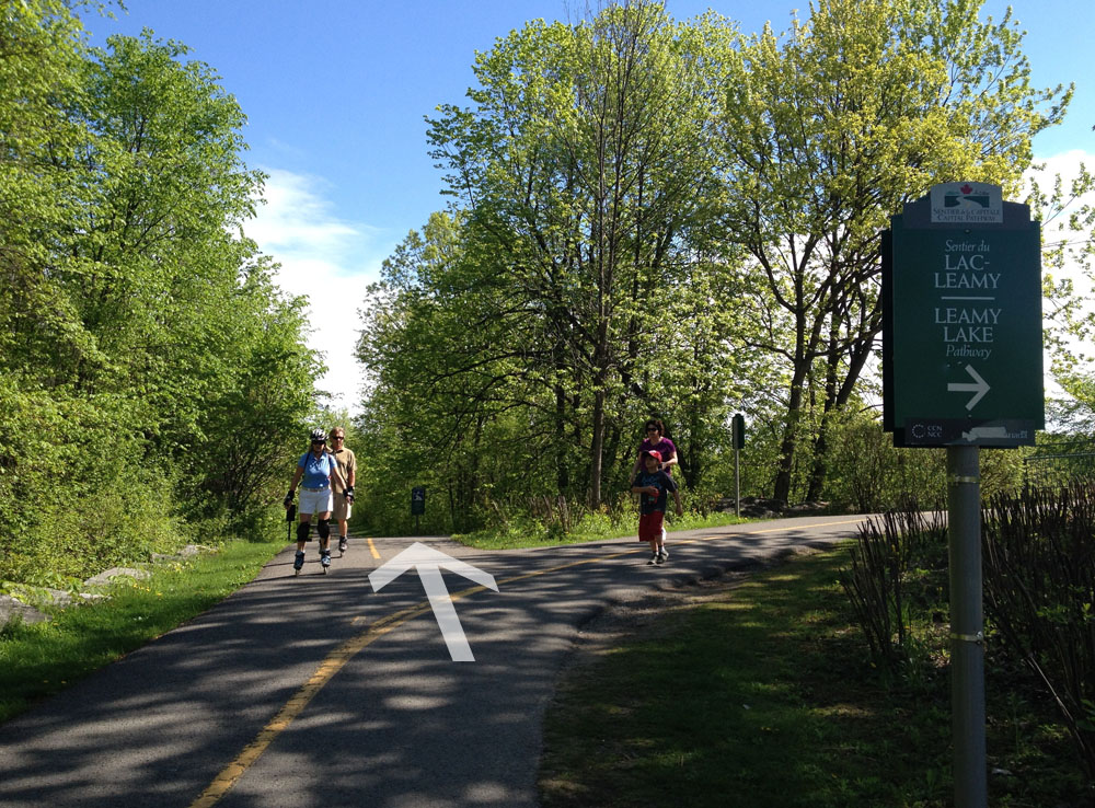
I turned left over a small wooden bridge a short distance beyond the underpass. This took me towards Lac Leamy.

Left over bridge just beyond the Highway 5 underpass.

Before going any further I would like to pause and contemplate this little wooden bridge, which I have come to call The Little Bridge From Hell! You see, the last time I rode over it I crashed, resulting in a meniscal tear in my knee, sidelining me for a good chunk of last Fall. A light drizzle had fallen that morning making the wooden surface very slippery. Heading back over the bridge in the opposite direction, the path suddenly turns to the right. one’s instinct is to start to turn while still on the bridge, as suggested by the tire tracks in the image below. When I did so my tires slipped right out from under me. As I put my right leg out to brace my fall my foot slipped uncontrollably in the opposite direction, bringing all my weight down on my knee. Thus the injury. SO, hard lesson learned, if it’s raining or frosty, go very slowly over this innocent looking little bridge and don’t start to turn until you reach the asphalt on the other side.

The Little Bridge From Hell

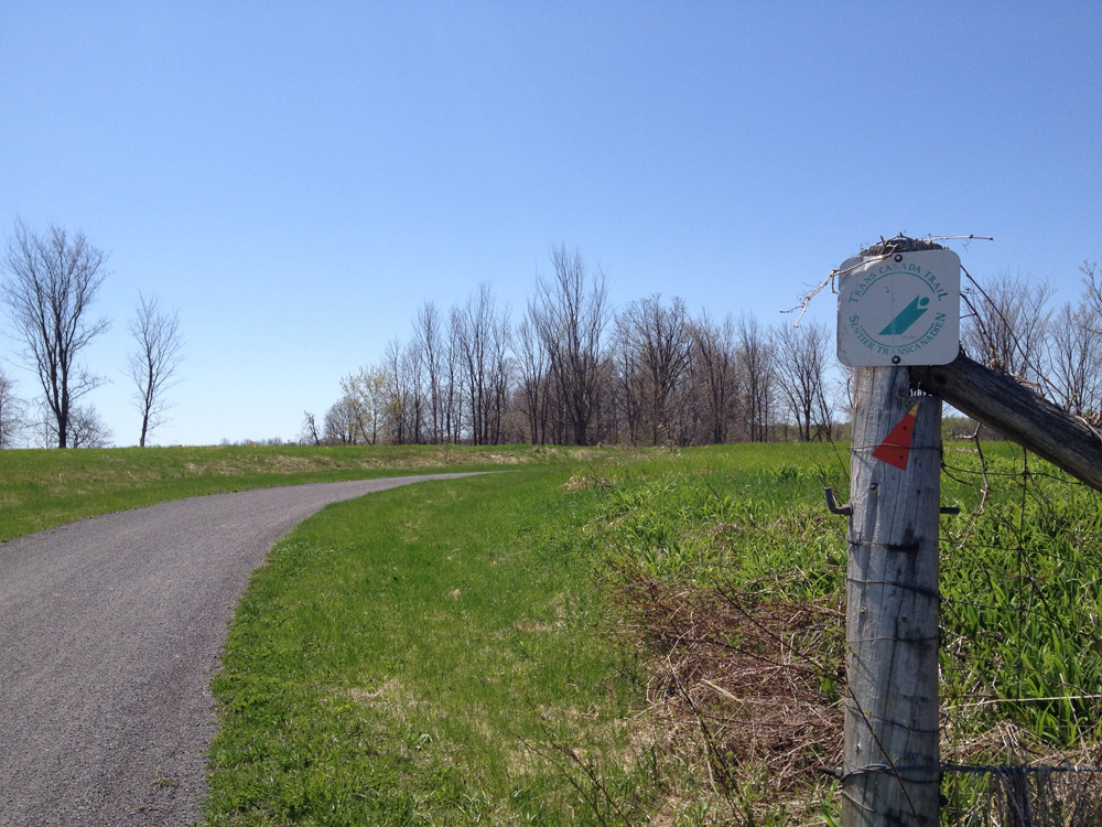
OK, on with our tour. The path continues along until it joins the Leamy Lake Pathway. One could normally choose to go either to the left or the right around the lake, however at this time of year the east side of the lake gets very flooded, so I stuck to the left.

Path around Lac Leamy

A bit further along the path I encountered another minor wet spot, also very manageable. Shoes didn’t even get wet.

Bit of water on the path
Bit of water on the Lac Leamy Pathway

Around the other side of the lake, just beyond the parking lot, I turned left onto the Gatineau River Pathway.

Left onto the Gatineau River Pathway

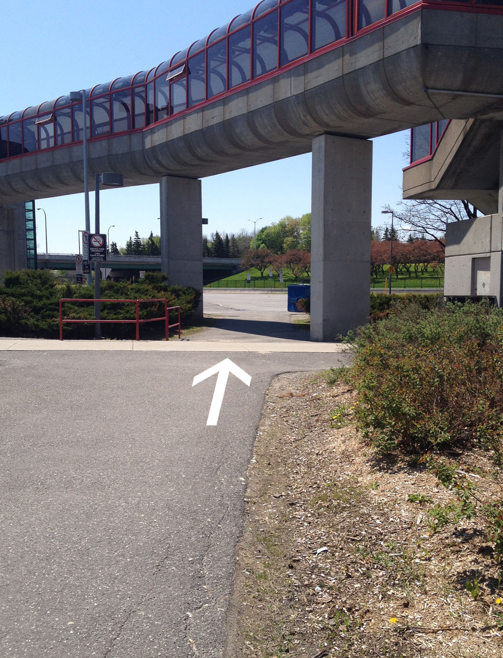
The path forks at the edge of the elevated Rapibus transit way. I followed the path to the right under the transit way.

Path under the Rapibus Transitway.

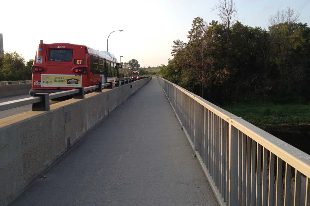
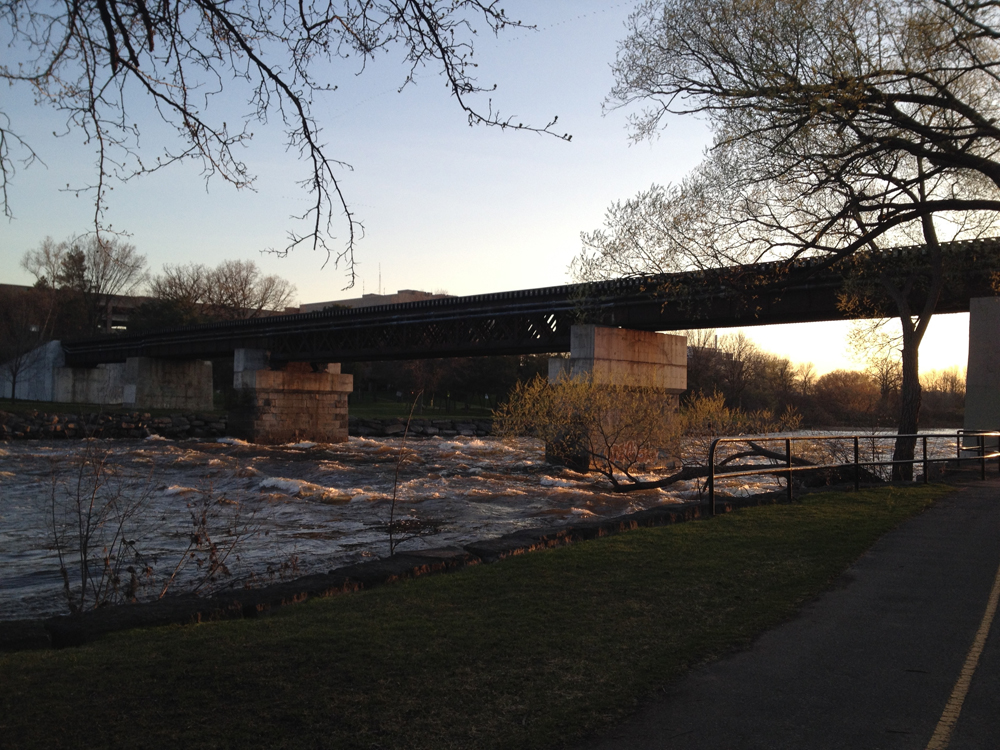
I then followed the path alongside the transit way, up and over the Gatineau River.

Path up to the bridge over the Gatineau River

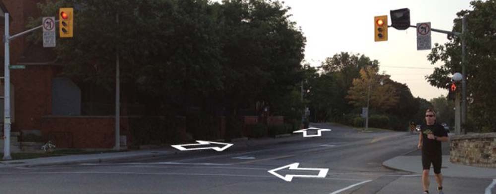
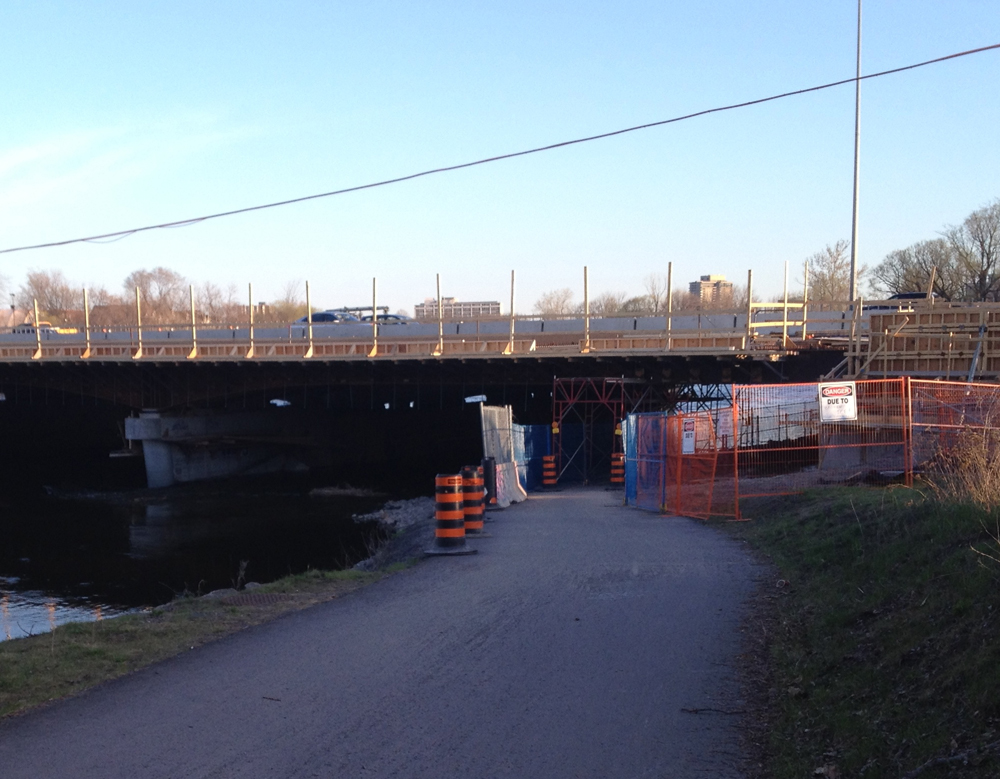
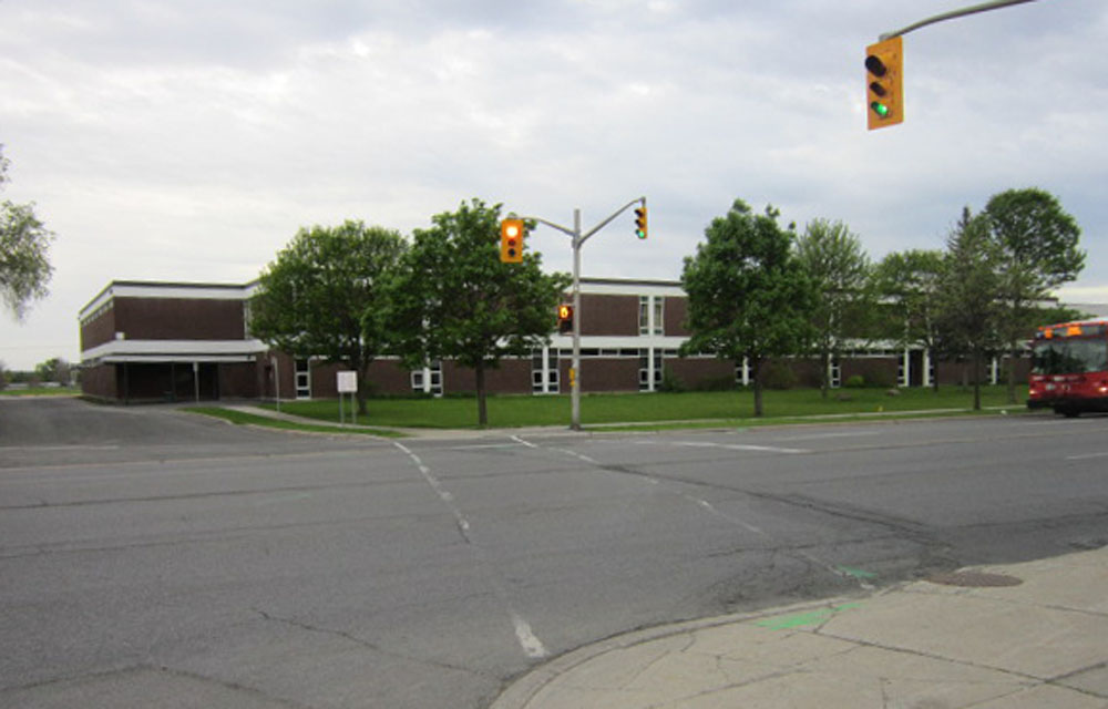
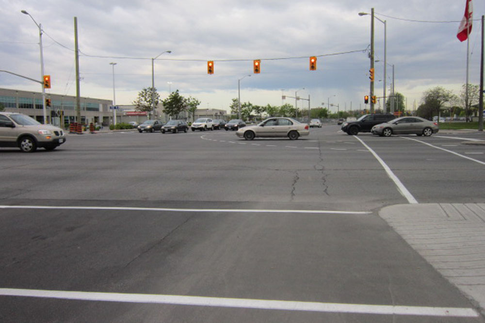
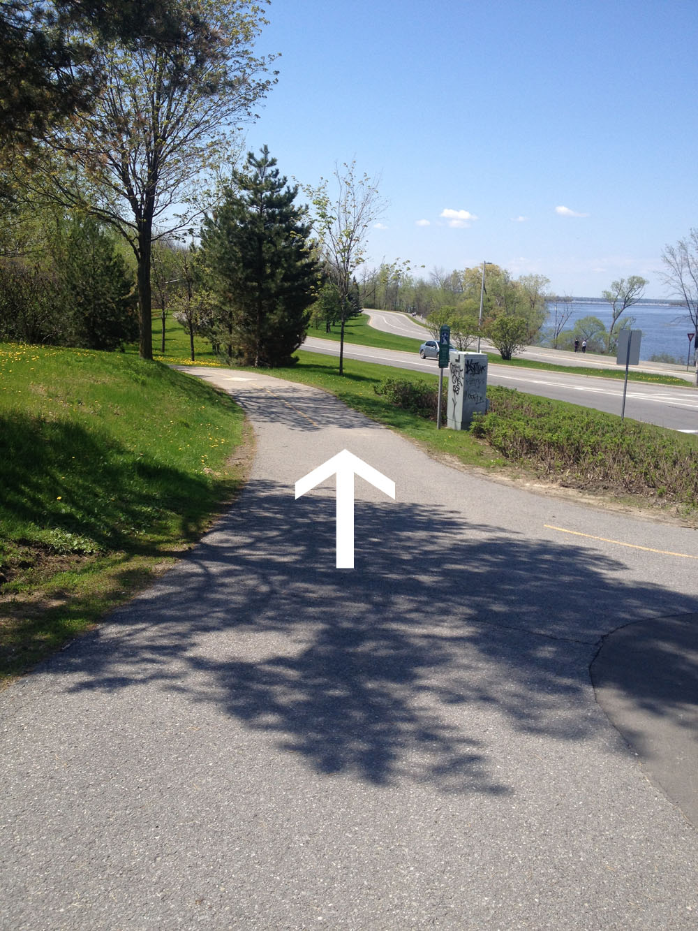
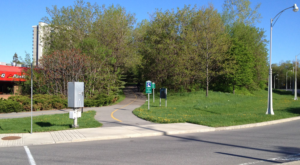
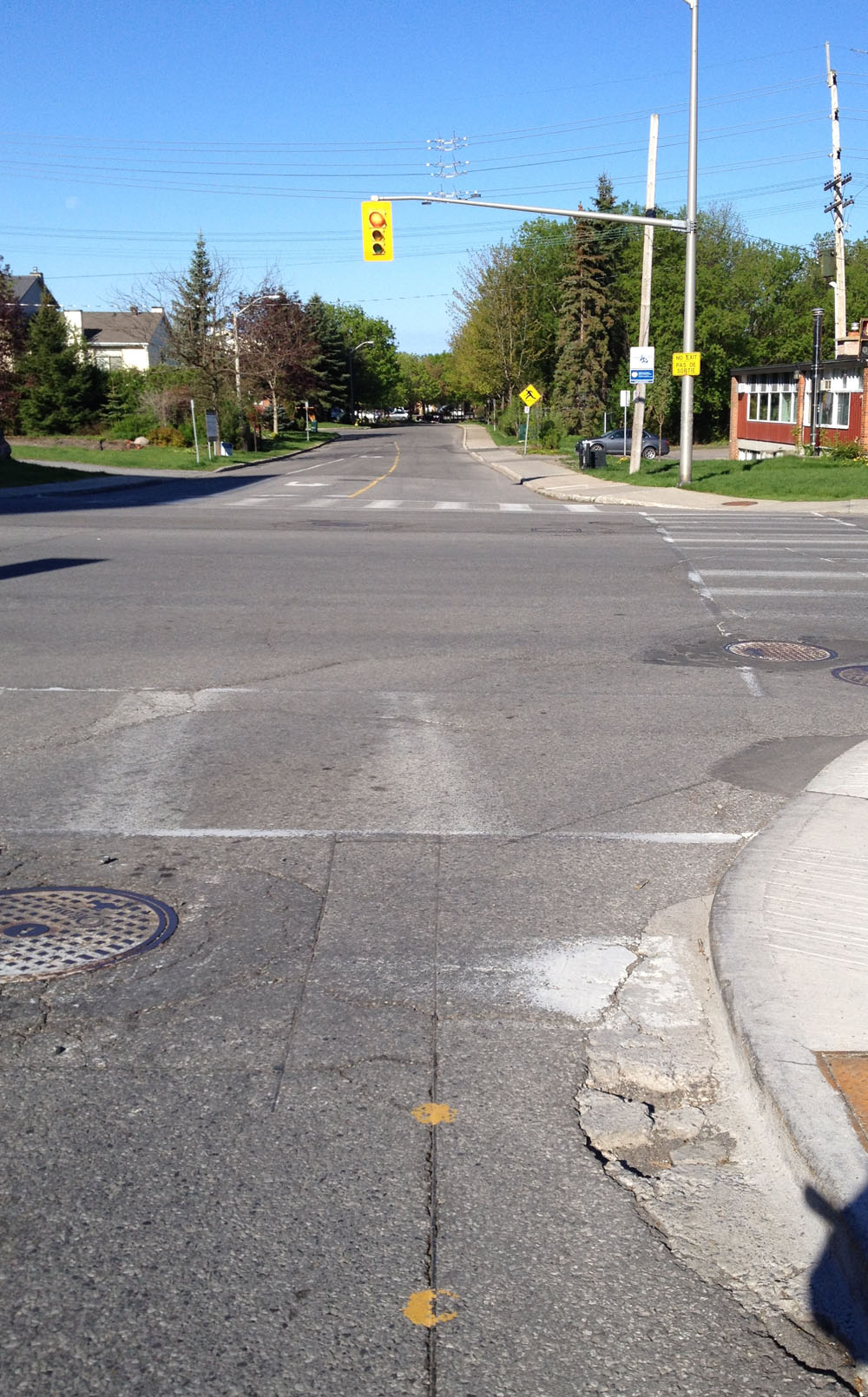
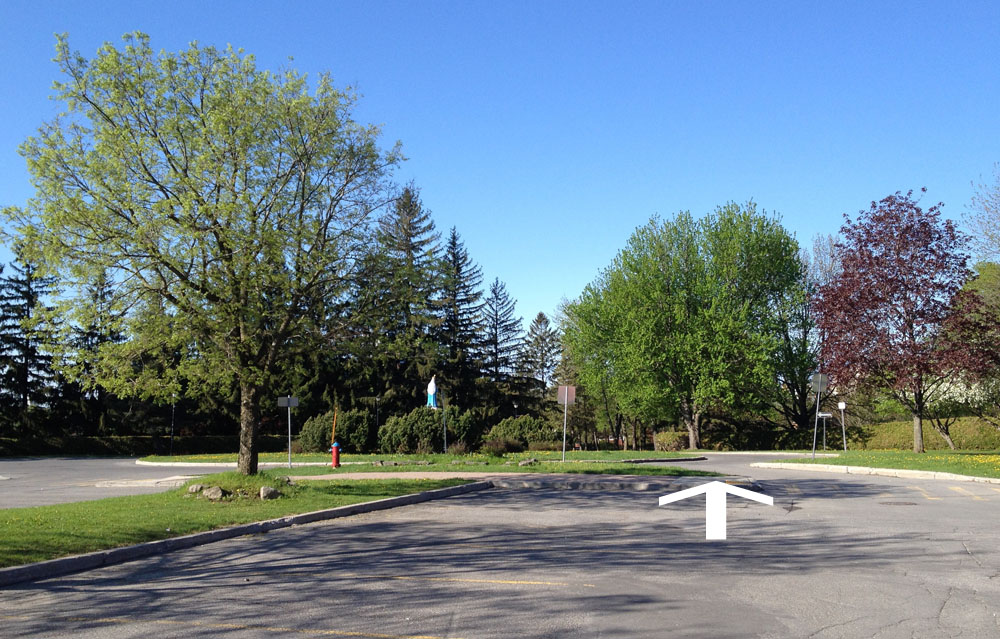
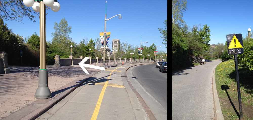
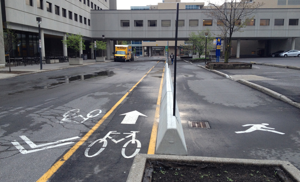
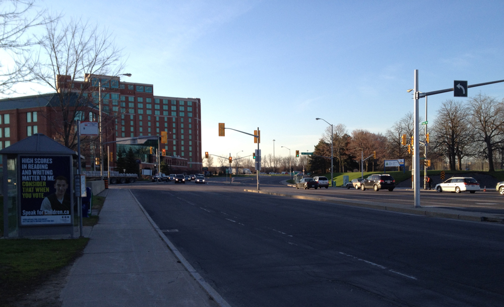
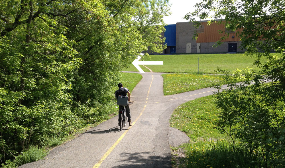
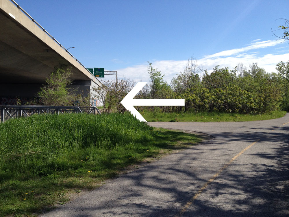
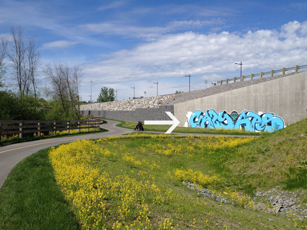
Everything becomes a bit of a dogs breakfast once the path reaches Boulevard de la Gappe. The path crosses the train tracks, and continues on the opposite corner through the traffic lights. See big white arrow in photo below.

Path continues on the opposite corner of Boulevard de la Gappe

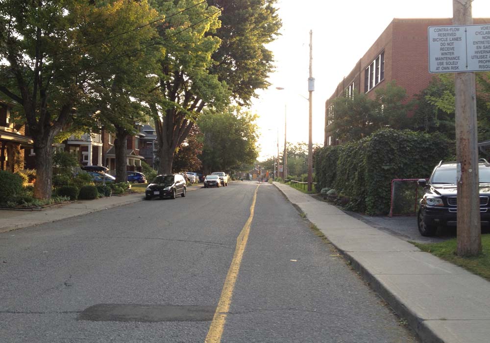
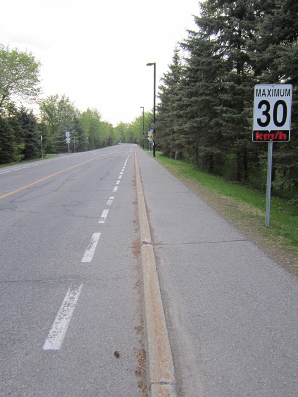
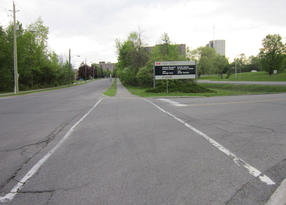
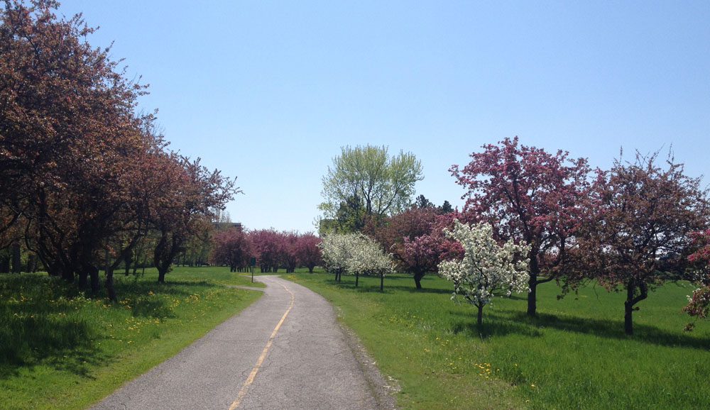
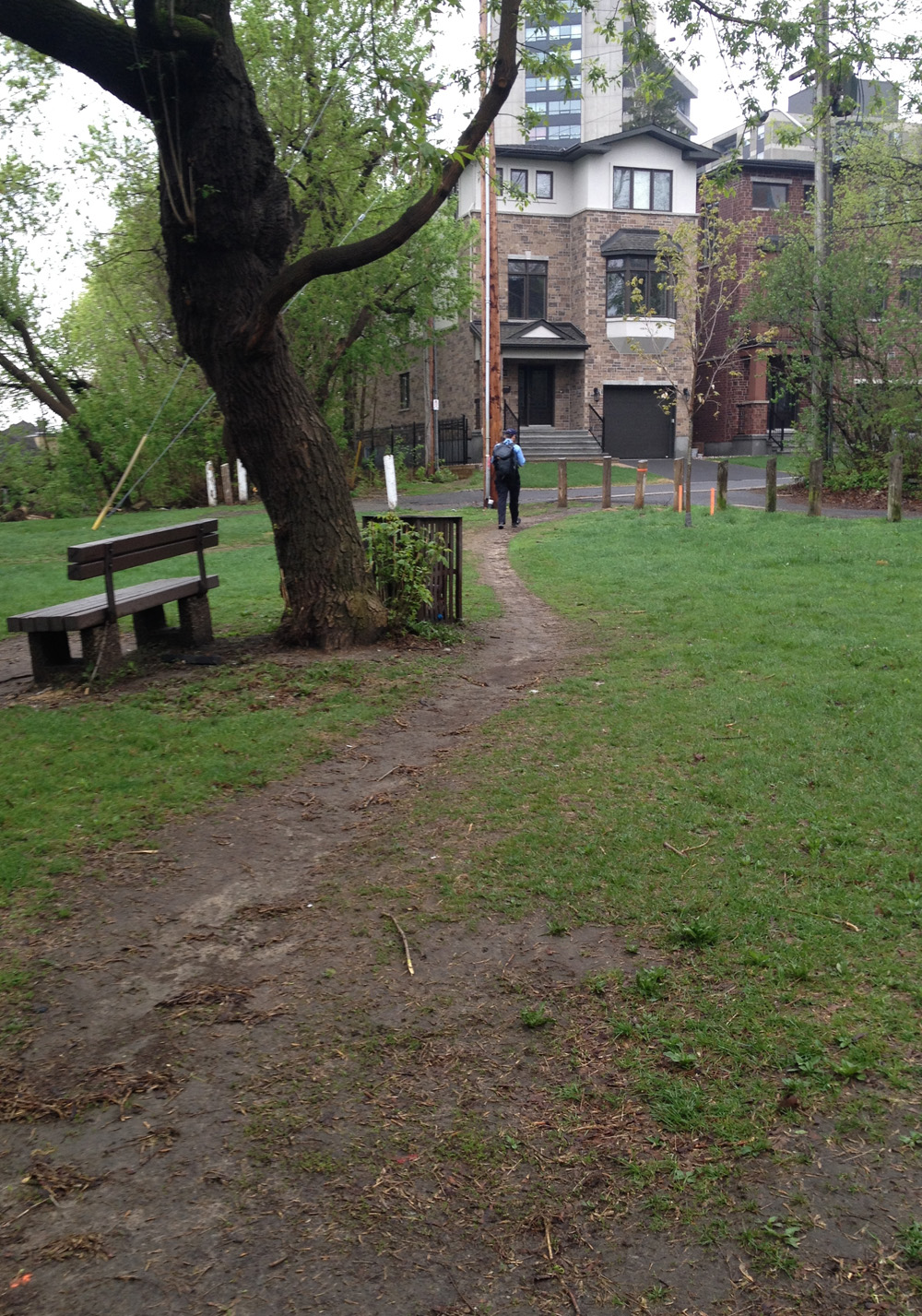
The path weaves it’s way the entire length of Boulevard de la Gappe to our destination, Boulevard de la Cité.

Path along Boulevard de la Gappe

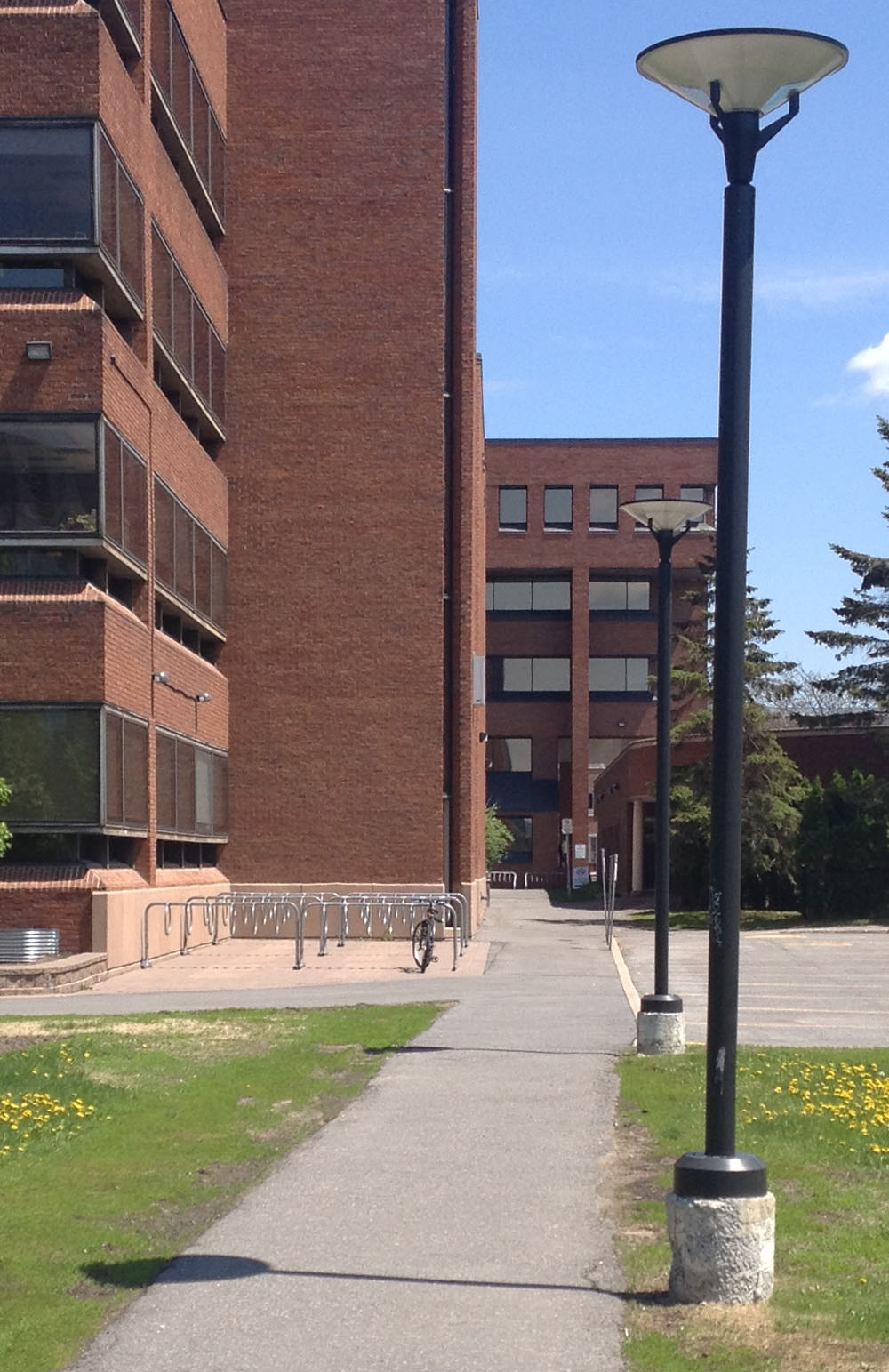
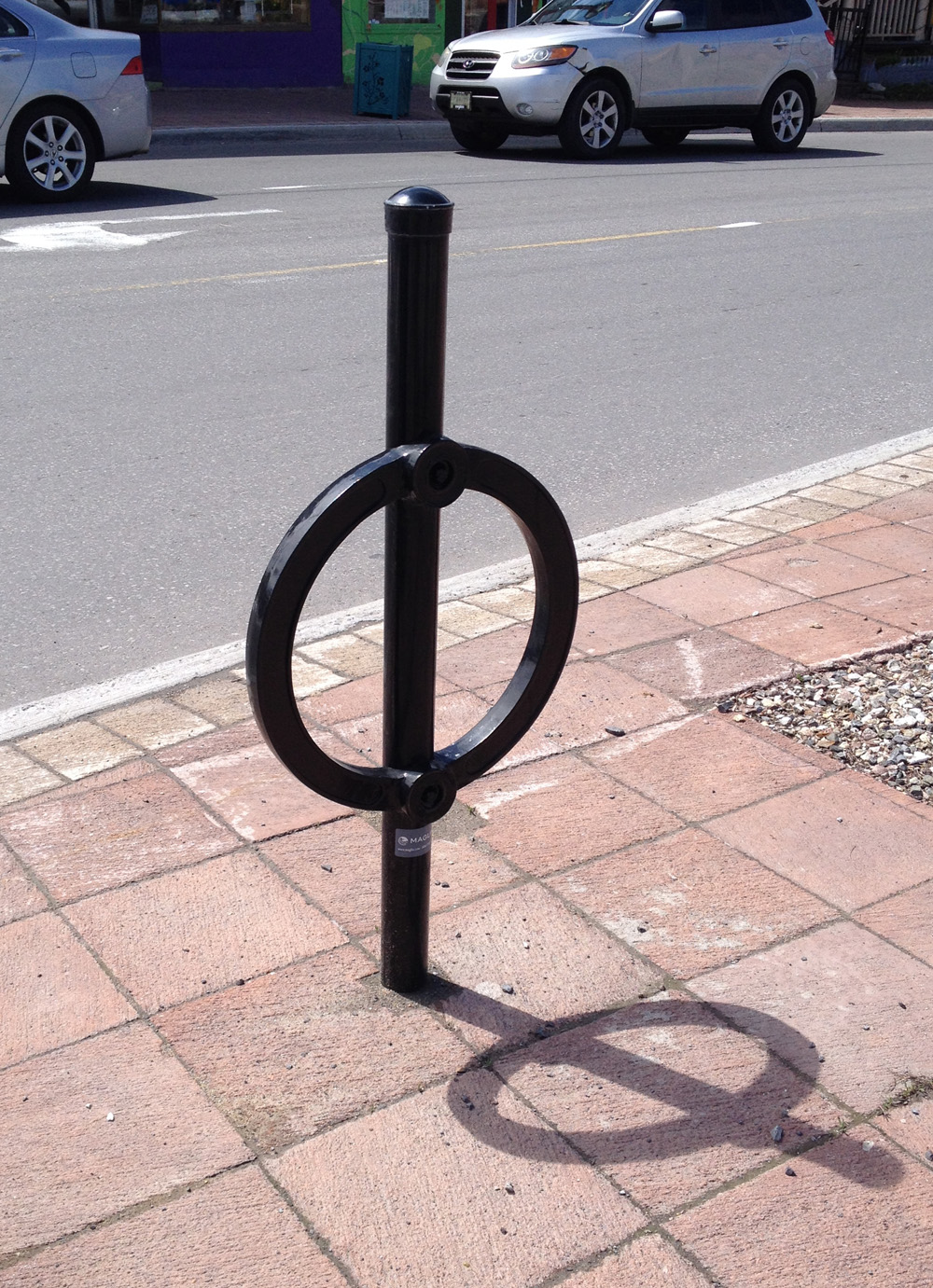
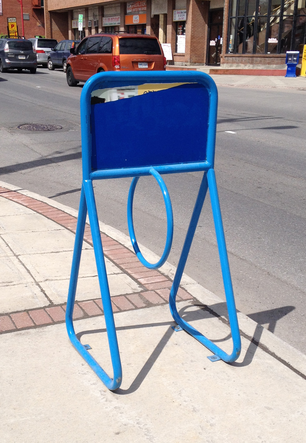
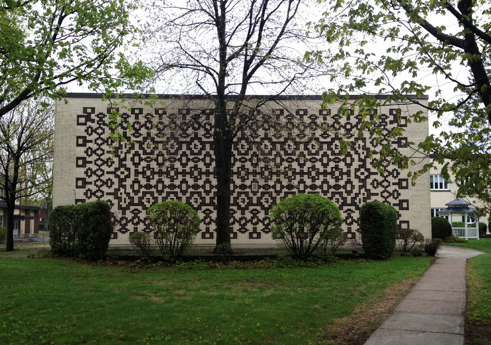
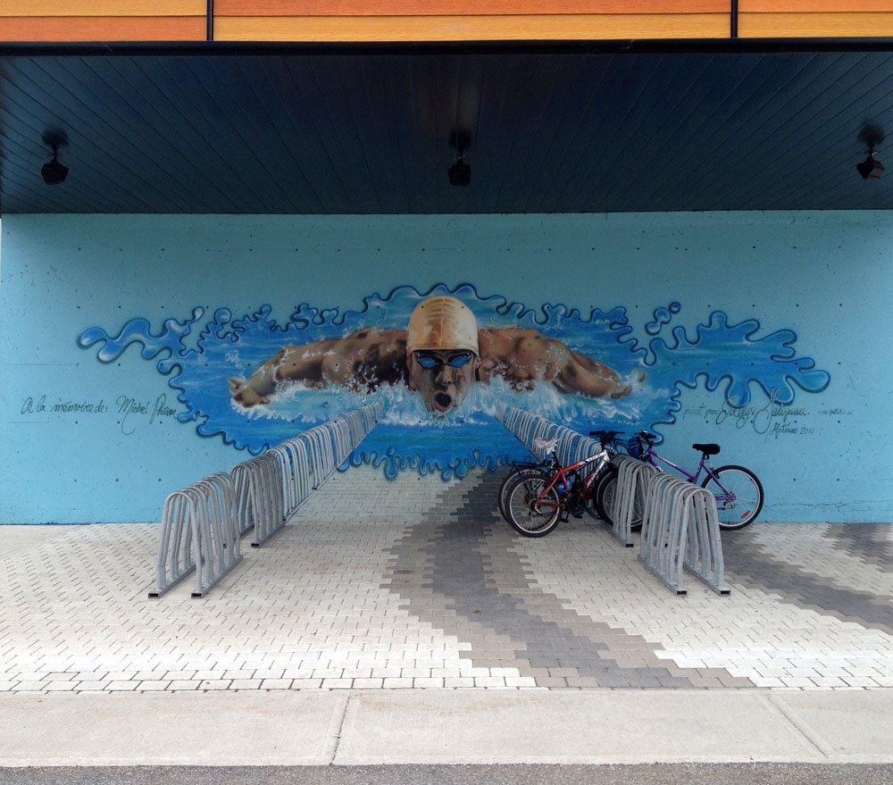
There’s a swimming pool close by with one of the cleverest bike rack/wall mural combos in the region.

Cool bike rack
Excellent bike rack

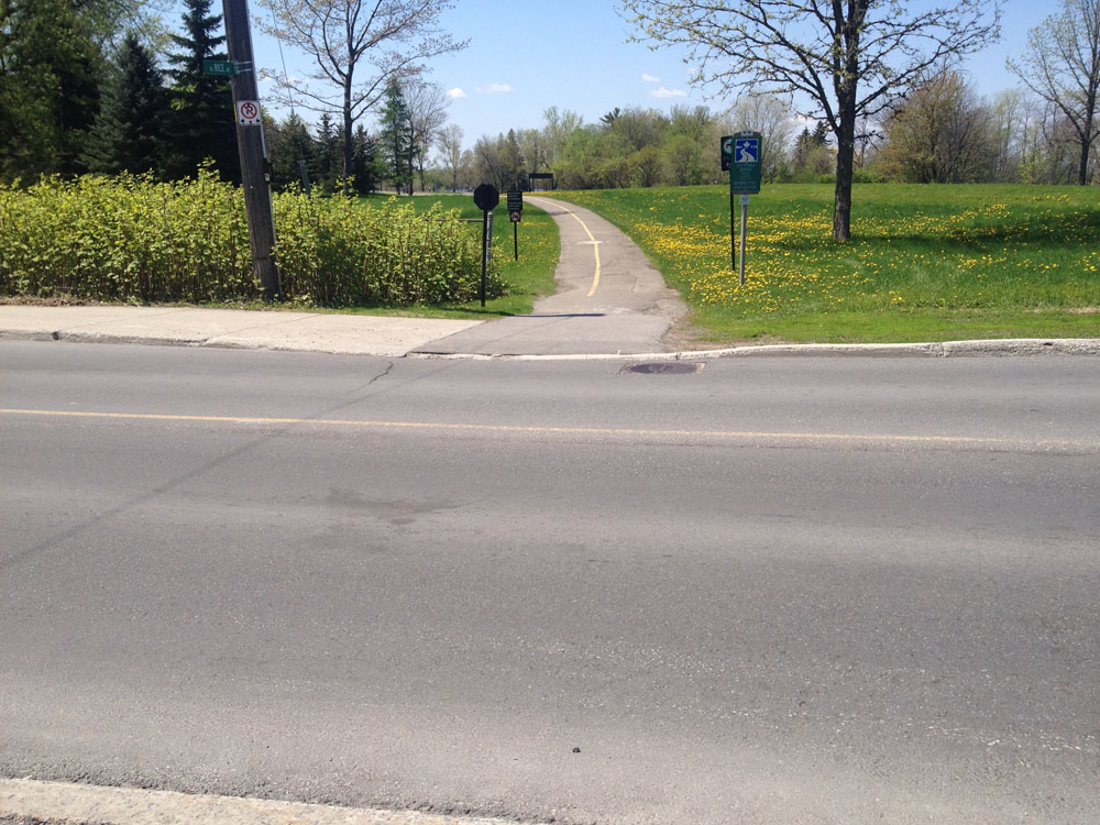
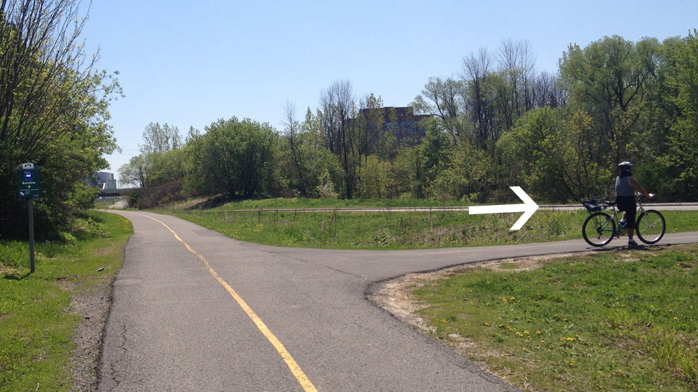
On the way back I decided to avoid riding along the Gatineau River and around Leamy Lake by continuing alongside the Rapidbus transit way to where it ends at Boulevard Montclair. I crossed Montclair at the lights and rode east.

Left onto Montclair
Left onto Montclair

Montclair can be a pretty busy street with fast moving cars, but there is a bike lane that takes you to the path that accesses the Ruisseau de la Brasserie Pathway.

Bike lane along Montcair at pathway to Ruisseau de la Brasserie

Heading towards Pointe Gatineau along this alternate route would require biking on the sidewalk against traffic as far as the lights across from the start of the bike path beside the transit way, however I’ve rarely seen any pedestrians along this sidewalk. If any are encountered there is plenty of opportunity to see them coming to dismount and walk your bike past them with a great big smile! So there you have it – a few fine ways to bike to Pointe Gatineau!

Bike commute from The Glebe to Gloucester High School

Chris was wondering what route I would choose to get from Fifth and Bank in the Glebe over to Gloucester High School in the east end of town. It’s a tricky ride. The challenge lies in figuring out safe ways to cross a number of major north-south arteries including the Rideau Canal, the Rideau River, the Vanier Parkway, St Laurent Boulevard and the Aviation Parkway, without the route becoming too erratic. I also wanted to avoid bicycling down busy streets. Here’s what I came up with. Blue line shows how I got there. Red lines are variations I took on the way back.

All set to go!
All set to go!

Headed straight down Fifth Avenue towards the Canal. Crossing Queen Elizabeth Drive to get to the path along the canal can take awhile if traffic is heavy, however this will be alleviated when traffic lights are installed at the intersection this summer. UPDATE – July 2014: Signalled crossing is in!

Rode north along the path and crossed at Pretoria Bridge, which has a bike lane.

Up and over Pretoria Bridge

That took me to the intersection of Hawthorne Avenue and Colonel By, on the east side of the bridge. Things get a little tricky at this spot. If traffic is bad I recommend crossing to the opposite corner and walking your bike for a short distance along the sidewalk to where it veers left along Echo Drive, like so.

Making your way over to Echo Drive

I then turned down the first street on the left which is Graham Avenue. It has a bike lane.

Graham Ave
Graham Ave

Three quarters of the way down Graham Ave, before reaching Main Street, I took a shortcut through the parking lot of the school on the right to avoid Main as much as possible.

Shortcut
Shortcut

Unfortunately I had to ride along Main for a block before turning left onto Springhurst Avenue. UPDATE – Summer 2017: There are now protected bike lanes along Main Street.

When traffic is heavy along Main, as it tends to be at rush hour, I cross at these lights at Evelyn Avenue and walk my bike along the sidewalk to Springhurst. UPDATE – Oct 2014: A section of Lees, joined at the end of Graham, now has a bike lane heading east, as described in this post, providing an alternative to riding along Main. There is no bike lane along Lees heading west so I took Evelyn Ave on the way back, as per the above map, thus avoiding riding along dangerous Main and Lees.

Main St. Turn of to Springhurst is at the red brick building
Main St. Turn off to Springhurst is at the red brick building

I rode to the end of Springhurst to get on this stone dust path and veered left for a short distance along the edge of the Rideau River as far as the Transitway bridge. UPDATE – Spring 2016: An important link along this route, the bike path along the transit bridge over the Rideau River, is closed for LRT construction Until January 2018. An alternative route around this construction site is shown as an orange line on the above map.

Path at the end of Springhurst

I took the path along the transitway bridge over the river, like so.

Bridge over the Rideau River

Once on the other side of the river I turned right, circled under the bridge, and headed east along the Rideau River Eastern Pathway.

The path under the Queensway remains accessible while they continue with construction, however the passageway under the scaffolding is pretty narrow so watch out for oncoming traffic.

Path under Queensway

I turned off the path at the sign pointing to River Road.

Exit
Exit

I turned right off River Road onto Presland. There’s a pedestrian cross signal to get across the Vanier Parkway.

Crosswalk signal at Presland and Vanier Parkway

I continued all the way down Presland which became Hardy Rd.

Presland Road - nice quiet street.
Presland Road – nice quiet street.

At the end of Hardy I wove my way north-east a few blocks and crossed St Laurent Boulevard at Donald St. It’s a 4 lane intersection, but not for too long beyond St Laurent. I then wove my way further north-east along quiet residential streets to Gardenvale Road, off of which there is a short path that takes you to the Aviation Pathway.

Path off Gardenvale....up to Aviation Pathway
Path off Gardenvale….up to Aviation Pathway

I then crossed Aviation Parkway at the entrance to the Cité Collégiale and rode along its narrow but adequate bike lane into the centre of campus.

Road into the centre of La cité collégiale campus

I rode through the campus, turned left on Bathgate Drive, then turned right into the National Research Council campus.

Riding on Bathgate just before the turn onto the NRC campus

Wove my way through the NRC campus, then turned right on Blair, which is a speedy two lane road, but I only followed it for a short bit and it has a bike lane.

Bike lane on Blair Road

Turned left into the quiet residential area of Cardinal Heights along Mowat St, then right on Crownhill St, and finally left on Appleford St which brought me right to Gloucester High School. Ta-da!

Gloucester High School seen from Appleford St and Ogilvie Road

Now on first blush one might think it preferable to take the more direct route from the end of Hardy St along Coventry Road and Ogilvie Road beyond St Laurent Blvd. There is a bike lane along Ogilve Road as indicated on Google Maps bike layer, however Ogilvie Road is a 4-6 lane highway wannabe, and the bike lane ends at Blair Road heading east. I took this route heading back. Here’s what it’s like just west of Blair. Lots of trucks too.

Ogilvie Road just west of Blair.

Coventry Road doesn’t have a bike lane, and this is what St Laurent looks like from Ogilvie looking across to Coventry.

St Laurent looking across to Coventry Road

Google maps estimated the alternate route I chose through Cite Colégiale and the NRC would take an additional 10 minutes versus heading straight down Coventry and Ogilvie.

So there you have it. It was nice to get back on Presland.

Presland2

Biking from Hintonburg to Algonquin College

Catriona bought a new bike (Youppi!) and needs a route to get her from the corner of Parkdale and Scott to Algonquin College. Here’s what I came up with.

There is a paved path running alongside the north side of Scott St from Bayview Road all the way to it’s western end at Churchill Ave.

Paved path parallel to Scott St

From Holland Ave there is a bike lane along Scott St, along with the paved path. The paved path is separated from Scott but bumpier at intersections.

Scott St beyond Holland

We crossed Churchill Ave where Scott ends and continued along the path that runs above the recessed transit way.

Path beyond Churchill Ave along transitway

The path continues along the Parkway like so.

Path on south side of Parkway

At Woodroffe Avenue I make sure there are no cars in sight before crossing. Drivers speed on or off the parkway, and there aren’t any traffic lights to help you get across.

Crossing Woodroffe
Crossing Woodroffe

The trail along the south side of the Parkway is a bit narrower and bumpier than the one that runs along the north side of the parkway along the edge of the river. There is an opportunity to get to the north side by taking the underpass the end of New Orchard Ave, as indicated by the red line on the above map, however as of this Sunday, doing so would have resulted in a big soaker, which these kids were relishing in.

Pathway underpass
Pathway underpass

I also prefer taking the bumpier south-side-path (imagine tiny speed bumps every 10 feet apart or less) when heading in the opposite direction after dark. While travelling east along the north-side-path I find the oncoming headlights of cars driving west on the parkway pretty blinding.

Another great advantage of sticking to the south-side-path at this time of year is being able to ride through this grove of sweet smelling flowering trees, just beyond the Richmond Road underpass.

Flowering trees!
Flowering trees!

The path dips down towards the Transitway and gets a little convoluted near the station. We rode down under the walkway and up on the other side.

Path under the Transitway station

Just beyond the station there is a pedestrian/cycling bridge over the Transitway. We took it.

Bridge over the Transitway

Once on the other side of the bridge we turned left.

Immediate left once over the bridge

The two paths kiss at the bottom of the hill. We crossed over to the Pinecrest Creek Pathway that runs along the Transitway.

Kissing paths
Kissing paths

The path goes under the Queensway and up to Iris St, then continues on the opposite corner of Iris, like so.

Corner of Iris & Transitway

Further along there is a path off to the right. There is a sign (barely visible on this photo) pointing to it that reads ‘Baseline’. If you miss the turn off and wind up by the fire station on Woodroffe you’ve gone too far.

'Is that arrow still following me?'
‘Is that arrow still following me?’, thought Carla as she paused to wait for her partner to take another picture.

Things get a little tricky just south of Baseline Road where the path jogs around an OC Transpo parking lot. This jog in the path is confusing because it opens up to a huge parking lot with no directional signs to help you distinguish what is parking vs road vs sidewalk vs pathway. Most folks don’t bother with this mini detour and just ride infront of the bus parking rather than go around. So did we.

You can go that-away.... or that-away!
We went left

The path eventually takes a sharp right. That’s where we took a sharp left, which led us over the Transitway, and across Woodroffe Ave towards the Algonquin College campus.

Turn left off path, then straight through on to campus.

We were pleased to see lots of bike racks on campus.

Bike racks!
Bike racks!

Et voila!

Bike commute from the intersection of Aviation Parkway & Montreal Road to Downtown

Chris was wondering if I could recommend a safe route from the intersection of Aviation Parkway and Montreal Road to the path below Parliament Hill. Here’s what I came up with. Blue line on the map is the route I followed. Red line is an alternate route described in more detail on the May 15th ‘Bike commute from Rockcliffe Park to Downtown and Chinatown‘ post.

Our journey begins at the North/West corner of the Aviation Parkway and Montreal Road, across from the CMHC headquarters where I joined the Aviation Parkway Path and headed north.

Access to the Aviation Pathway at the north/west corner of Montreal Road and the Aviation Parkway

The path weaves it’s way through a wooded area. Just before the path exits the wooded area there is a short unmarked dirt path that turns off to the left. This path brought me to Truro St.

Dirt path along Aviation Pathway

I turned left on Truro, then right on Britany Drive. I followed Britany Drive down to where it crosses St Laurent Boulevard. There are painted yellow dots on the asphalt at this intersection. Stopping your bike above these dots activates the timer for the lights to change.

Yellow dots at the intersection of Britany Drive and St Laurent.

I crossed St Laurent and continued straight on Dunbarton Ct which eventually turns to the left. A bit further on I turned right onto a lane covered with pavers with an open waffle pattern. The lane is a short bumpy connection to Pauline Charron Pl. UPDATE- November 2016 – The connection has been rendered un-bumpy!

Lane connecting Dunbarton Ct & Pauline Charron Pl

I followed Pauline Charron to a path off to the right that cuts through Richelieu Park over to the Richelieu-Vanier Community Centre parking lot.

Path into Richelieu Park

I continued through the parking lot past the crowned statue of Mary dressed in blue, and down Pères Blancs Ave. as far as it went to Marier Ave.

Through the parking lot, around past Mary in blue

I turned left on Marier, past the house with the wild collection of plastic lawn ornaments.

Left on Marier
Left on Marier

Just a bit further on I turned right on Hannah St.

Turn right on Hannah. Don't know this guy. Sheer coincidence he rode by as I took the picture.
Turning right on Hannah. Don’t know this cyclist. He rode by as I took the picture.

I continued a short distance along Hannah St and turned right onto Deschamps Ave.

Turning right on Deschamps. Don't know this guy either. Lots of riders in Vanier!
Turned right on Deschamps, just like this cyclist. Lots of riders in Vanier!

I crossed the busy Vanier Parkway at the signalled crosswalk at the end of Deschamps Avenue. This is a much safer location to cross than either Montreal Road or St Patrick St.

Crosswalk at Vanier Parkway

There’s short path on the other side of the Vanier Parkway that links to Coupal St. I followed Coupal to North River Road, then crossed the park along a path that linked up with the Rideau River Eastern Pathway.

Path through the park at the end of Coupal St

The path goes under the St Patrick Street bridge as far as Stanley Ave. The route continues west along Stanley for a short distance before re-becoming the pathway just beyond the playground.

Rideau River Pathway along Stanley Ave for a short distance

I rode along the pathway, then crossed the white Minto bridges over the Rideau River. The bridges are presently closed to vehicular traffic but not to bicycles. Whenever they do re-open to car traffic, and if you aren’t comfortable with sharing an open metal gridded surface with cars (the sound car tires make on these surfaces can be pretty spooky and intimidating), you can push your bike across the very generous wooden sidewalk on the side of the short bridges.

Minto bridges
Minto bridges

Once over the bridges I turned left onto the path that takes you along the river.

Path into Bordeleau Park

A bit further on the path forks to the left along the river, or right towards King Edward. I stayed left.

'Bear left! Right frog.'
‘Bear left! Right frog.’

I followed the path until it reached Rose St. I went down Rose St, then turned right on St Andrew to the crosswalk across King Edward Avenue.

King Edward crosswalk at St Andrew

I then followed St Andrew all the way to Sussex Drive. Sussex is presently under construction, however I was able to cross over to the National Gallery drop off lane way. As construction is unpredictable by nature, or if traffic is heavy along Sussex, one may be required to walk one’s bike along the east sidewalk of Sussex for a couple of blocks and cross Sussex at the lights at St Patrick.

Sussex at St Andrew
Sussex at St Andrew

When all the construction is completed there will be bike lanes along Sussex that will extend all the way to Stanley Avenue and beyond, as described in this attachment (click).

Once on the open plaza in front of the National Gallery I crossed over to the pathway that runs along the edge of Major’s Hill Park right here.

Where to cross to the path that runs along Major's Hill Park
Where to cross to the path that runs along Major’s Hill Park

I turned right onto the pathway and followed it to the end of Major’s Hill Park, before turning left onto the paved lane that goes down what my good friend Nadia calls Bastard Hill. It’s really steep.

Where to turn off the path on and head down the hill to the Ottawa River

This winds down to the canal locks, over which you cross to get to our final destination – the path below Parliament Hill. Ta-dah!

Canal locks
Canal locks

Bike Parking in Chinatown

The announcement that additional free bike parking would be provided for the opening day of the Chinatown Remixed received a lot of online attention. So much so that I began to worry the 40 spots would not satisfy demand, so I did a quick, unscientific survey of other bike parking spots up and down Somerset where the Remixed events are happening, and roughly plotted them out on the map below. UPDATE: May 24, 2015 – There are far fewer bike parking locations this year. Not sure why.

Pink markers are the post and hoop type that look like this. I noticed 70. Two bikes per stand, that’s 140 bikes.

Ring stand
Ring stand

Green markers identify other assorted types of racks. I’ve included images of them below and on the map, visible by clicking on a green marker.

There are also at least 45 t-posts or street sign posts available for locking. Not officially sanctioned, but the authorities and the Chinatown BIA are good about it, as they are throughout most of the city. Except for Sparks St.

Happy Remixing!

Zig zag stand - two of them beside the Chinatown arch
Zig zag stand – two of them beside the Chinatown arch
Blue stand in front of Raw Sugar Cafe
3 ring stand
3 ring stand
6 ring stands
6 ring stands
Low stand
Low stand

Bike commute from Rockcliffe Park to Downtown and Chinatown

I received a couple of requests for commuter routes starting from Rockcliffe Park. One was how to get to Chinatown and the other was how to access the path along the Ottawa River below Parliament Hill. I combined the two since the following recommended routes vary only slightly. Here goes.

Blue line is the route I followed from Rockcliffe to Chinatown. Red line is the slight variation heading home in the opposite direction. Green line is the route towards the path that runs behind Parliament Hill.

Our adventure begins in the Village Green, an intimate and contemplative public space near the centre of Rockliffe Park.

The Village Green
The Village Green

I exited the Village Green at the corner of Mariposa and Springfield, and headed west on Meriposa.

Something tells me the Yarn Bombers have been by....
Something tells me the Yarn Bombers have been by….

I then turned at the first left down Sir Guy Carleton St and followed it right to the end to the Soeurs de la Charité convent.

East wing facade of the Soeurs de la Charité convent.

Turned right on Maple Lane and followed it to where it met up with Lisgar Road.

Yarn Bombers on the loose!

Turned left on Lisgar, which skirts around the Governor General’s Residence, delineated by one of the fanciest fence and fence post combinations around.

Fancy fence post
Fancy fence post

I turned right on Dufferin and continued all the way down to the river. I got onto the Rideau River Eastern Pathway by turning left and headed up river.

Getting on to the Rideau River Eastern Pathway

The path goes under St Patrick Street, which, according to the cyclist in the orange shirt up ahead, was covered in water a week ago.

Path under St Patrick St.

I continued along the path, which is a very beautiful ride along the river, all the way to the Cummings Bridge, and the one messy spot on our tour.

Approaching Cummings Bridge along the river

There is a bike lane over the bridge heading west, but it is presently cut short by construction happening on the west side of the bridge like so.

Construction - bike lane ends
Construction – bike lane ends

I suggest crossing over to the south side of the bridge back at the lights and walking your bike along the sidewalk. Fortunately it’s a pretty interesting bridge to cross by foot. For example, you can look out onto Cummings Island which was once accessible and had a general store with the only phone service in town.

Cummings Island
Cummings Island

There isn’t a bike lane heading east over the bridge, and it’s an extremely busy artery with buses and impatient commuter traffic, so I highly recommend walking your bike along the sidewalk heading east as well, construction or no construction.

On the west side of the river there are three very well trodden desire line paths of various steepness that head up to Besserer Park. The path furthest up shore is the least steep, like so. UPDATEMay 2015 There is now a paved bike lane where the desire lane path used to be, as described in this post.

Path up to Besserer St
Path up to Besserer Park
... and through Besserer Park to Besserer St.
… and through Besserer Park to Besserer St.

I pushed my bike up to Besserer Park then zig-zagged my way along quiet streets (Besserer, Wurtenburg, Daly, Cobourg) to Stewart St which has a very freshly painted bike lane line.

Bike Lane along Stewart St

Stewart is a one way heading west, so on the commute back to Rockcliffe take Wilbrod St which is one way heading east (see red line on above map).

After crossing busy King Edward I headed one more block west and turned left on Cumberland, then right on Wilbrod. I then cut through the Ottawa U campus in front of Tabaret Hall.

Tabaret Hall
Tabaret Hall

I crossed Laurier and continued through the campus on the other side. The road takes a little jog left then right onto a multi use Jean Jacques Lussier with a very wide pedestrian lane, a bike lane heading south and a car lane with a bike sharrow. Ugh, so close. For more on my opinion on sharrows visit this post (click).

Jean Jacques Lussier Lane

It then veers to the left and becomes Marie Curie. Don’t go onto Marie Curie. Instead turn right,which will take you along a mini switch back bike lane and under Nicholas St, to pedestrian lights that get you across Colonel By Drive.

Pedestrian & bike Nicholas St underpass

Then it’s up onto the pedestrian bridge over the canal, then right onto the bike path along the canal on the other side. To continue west to Chinatown I cut through Confederation Park to the corner of Elgin and Laurier where I joined the Laurier designated bike lane and followed it all the way to where it ends at Bronson, across Bronson, and down Cambridge St N to the heart of Chinatown.

To get to the path behind Parliament Hill I went straight, versus cutting through Confederation Park (see green line on the above map). The path follows right along the canal. Rather than staying on the path many cyclists choose to ride up the NAC traffic ramp. I find it a bit dangerous because cars do travel quite quickly down the ramp, and there are ‘do not enter’ signs at the bottom of the ramp, so if you were to get hit I’m not sure who they would go after. I also once saw the police give a ticket to a cyclist heading up the down ramp.

As the path approaches Sappers Bridge there are two short flights of steps to climb. This might explain why many cyclists choose the NAC ramp versus the path, however there are bike gutters on the edge of the steps that make it easy to push your bike up.

Bike track along stairs at Sappers Bridge

Continuing under Sappers Bridge takes you out the other side on the path that goes down behind Parliament Hill.

Path down beside the canal locks and below Parliament Hill

Et voila!

Biking along the Greenbelt Pathway from Shirleys Bay

This year’s Mother’s Day was a beautiful sunshiny one, perfect weather for a family ride. We decided to check out a section of the Greenbelt Pathway in the west end, starting from the NCC parking lot at Shirleys Bay. Here’s how it went.

the Connaught rifle range is further west of the parking lot. We could hear rounds going off in the distance. There’s a good chance you might hear them any time you choose to visit.

There is no signage directing you from the parking lot to the trailhead, but Google Maps indicates a few dirt roads to follow to get there. We headed east along Shirley Blvd for a short way, then south.

Shirley Boulevard
Shirley Boulevard

We came to a fork in the road and headed left along Riverdown Drive.

Riverdown Down Drive & Shirley Boulevard. Note the old Nepean street signs

This brought us to the Greenbelt Pathway trailhead.

Greenbelt Pathwat Trailhead at Shirley's Bay
Greenbelt Pathwat Trailhead at Shirley’s Bay

The path meandered through an assortment of brush and woods to Carling. After carefully crossing Carling – a speedy two lane road at this point, sans traffic light – the path continued on until it met up with the paved Watts Creek Pathway.

Greenbelt Pathway & Watts Creek Pathway

We continued east for a short bit until we got back on the Greenbelt Pathway and continued south.

Turn off back onto Greenbelt Path after a short stretch along the Watts Creek Pathway
Turn back onto Greenbelt Path after a short stretch along the Watts Creek Pathway

The path runs along the Nepean Equestrian Park just before reaching Corkstown Road and the Queensway underpass. It’s lying fallow right now, with crumbling horse jumps scattered about unkempt grass, but it’s purportedly to all be revitalized soon into an even better equestrian park. UPDATE – Summer 2017: It has been updated and is quite impressive, especially when a horse show is on!

Riding past the equestrian park towards the Queensaway

Corkstown Road is a safe and easy road to cross. The Queensway underpass is a graffiti artist’s canvas.

Queensway underpass
Queensway underpass

The path veers west, parallel to the Queensway for a short distance through farm land. I like this section of path for it’s diverse mix of natural habitats. It’s also part of a number of other trail networks, like the Trans Canada Trail and the Rideau Trail, identified by the fading sign and orange arrow respectively in the photo below.

Shared trails. Still on the Greenbelt trail too btw.

A number of interpretive panels along the trail describe the surrounding diversity of the combined landscape and forest.

Forest interpretive panel

We got as far as Timm Drive and headed back. Didn’t want to over do it. We all had fun but most importantly, Mom had fun.

the end

Bike commute from Kenson Park to Overbrook

A number of studies have shown that a large proportion of commuters want to bike to work but hesitate to do so for lack of a safe route to follow. I have an open offer to scope out a safe bike route to anyone within the national capital region. All I need is two cross streets – one to start from and a final destination. Halden took me up on my offer, starting from the intersection of Woodroffe and Iris at the edge of the Kenson Park neighbourhood in the west end, to the intersection of Vanier Parkway and Coventry Road in the Overbrook neighbourhood. He’s already a regular bike commuter but thought it would be interesting to see the route I scope out compared to his. Me too! Here’s what I came up with.

The Blue line is the one I recommend- a very picturesque route almost entirely along bike paths. The red line is a short cut that shaves 15 minutes off but traverses the not-so-safe Bank Street Bridge over the Rideau River. More about that later. The green line shows the route Halden takes. After crossing the locks at Carleton he rides along the canal and cuts over to the Rideau River along Graham Avenue, Lees Avenue, then through the Ottawa U Lees campus. Lees is a pretty busy road so one’s comfort level with riding in traffic would be an important factor in choosing this route.

And away we go! First I headed east on Iris.

Nice quiet street. Easy on the Iris.

The Experimental Farm Pathway crosses Iris. I got on the path and continued eastwardly.

Experimental Farm Pathway at Iris

This interesting building is located just south of where the path crosses Maitland. I used to think it was some sort of power station associated with the hydro towers that ran past it. Well it is a power station but of a very different sort. It’s the Trinity United Church designed by the late Ottawa architect James Strutt.

Trinity Church
Trinity Church

The path winds up and over Carlington Heights, then down through the farm.

Branches budding on the edge of the farm.

Things get a little screwy where the path meets Fisher. To continue along the path on the other side requires riding south along Fisher for a hundred yards or so and crossing at the lights, like so.

Crossing Fisher Ave
Crossing Fisher Ave

The path becomes Cow Lane, and then turns right on Morningside Lane.

Corner of Cow and Morningside Lanes

Midway down Morningside Lane there is a small road on your left that takes you to an intersection with traffic lights across Prince of Wales Drive. The path continues along the road on the other side of Prince of Wales, and ends by the canal locks across from Carleton U. I pushed my bikes over the top set of locks.

Up and over the locks

On the other side of the canal I followed the path to the right (blue arrow). The red arrow is the way you’d go for the alternative route on the above map across the Carleton campus and Bronson, through Ottawa South and across the dreaded Bank St Bridge. The green arrow points is the direction Halden takes.

Route options on the south side of the canal
Biking up the canal (the blue arrow direction)

The path pops out at Mooney’s Bay and crosses over the river.

Bridge over troubled waters

On the other side of the bridge the path dipsy-do’s back under the road.

Follow the painted yellow line
Path going back under Hogs Back Road

The scenery is quite spectacular all the way down along the path through Vincent Massey Park.

Rail bridge the O-Train takes to get across the river

This path is called the Rideau River Eastern Pathway which I followed almost entirely to our final destination. It is a very pleasant path however there is one dangerous spot, and that’s the intersection of Bank St and the pathway/Riverside Drive. Riverside Drive is a four lane speedway. Cars crossing the Bank St Bridge heading south often try to hurriedly turn right onto Riverside on the red without looking to their right, regardless of the sign. As such they threaten cyclists and pedestrians on the path as they nervously try to rush around the corner, for example this car at the intersection this Sunday that came to a screeching halt well over the stop line.

Screech
Screech

The ghost bike at this same corner is a commemoration to Meg Dussault who was struck and killed by a cement truck in July 2013. UPDATE: May 2016The ghost bike has been removed by the city.

Ghost bike
Ghost bike

On the secondary route option suggested by the red line, crossing the bridge is what is proposed. There are sharrows painted on the road, suggesting cyclists share the road. This Muddy Bike post (click here) shows that this is an ineffective option, and I believe a dangerous one as it suggests this is a safe area for cyclists when it is quite the opposite. So, when my son and I biked to Billings Bridge Museum on Sunday we walked our bike on the sidewalk.

So, what to do once you get to the corner? I don’t move until I am sure the driver stopped at the corner sees me and seems aware that I have the right of way to cross.

OK, enough on the dangerous bridge, time to continue down the pathway.

Rideau River Eastern Pathway west of Bank St

They’ve re-opened the path under the Queensway where they are doing construction, but it’s through scaffolding and only wide enough for one bike so I went pretty slow in case a rider was coming the other way, giving me time to react.

Path under Queensway

Getting close to our destination, I turned off the path at the sign pointing to River Road.

Exit
Exit

I turned right off River Road onto Presland, and was pleased as punch to discover a pedestrian cross signal to get across the Vanier Parkway.

Crosswalk signal at Presland and Vanier Parkway

I continued along Presland for a jot until I turned right onto Forestlane. Part way down Forestlane there’s a small opening that allows you to pop out almost right at our final destination.

Opening in the wall
Opening in the wall

And There it is – the intersection of Vanier Parkway and Coventry Road!

Van&Convent

Touring the Historic Billings Bridge Community

I was scanning through the great selection of tours included in this year’s Jane’s Walk program when one in particular caught my eye: A bike tour of the Billings Estate National Historic Site. I decided to check it out. The wet weather forecast must have discouraged others from attending, which resulted in a small entourage of four including our guide Britta, who shared an enthusiasm and passion for local history that made the continuous rainfall barely noticeable. She is an employee at the museum and helped put this bike tour together, which will be given again throughout the summer. Call the museum to confirm if you are interested. You may even be able to request a group tour.

Billings Estate Museum is bike keen! Not only did they organize this outing, check out this wooden bike in their collection. It was hand built by a 17 year old farm boy named James Henry Blair back in 1898.

Oh wow....
Oh wow….

The story of the Billings Bridge Community follows the gradual dividing up of the homestead originally settled by Braddish Billings and his wife Larima way back in 1813, thirteen years before the establishment of Bytown. The tour visits a number of locations and houses spread throughout the community, starting from the Billings House which is presently a museum. There isn’t a self guided program specifically for this tour, but there is a booklet sold at the museum for a few dollars titled Historic Homes and Buildings of the Billings Bridge Community that share a number of the stops, which I’ve identified on the following tour map. There were a number of other interpretive stops along the way not identified on the map.

Billings Estate Museum
The Morrow House - 132 Billings Ave
The Morrow House
The Belot House and  Britta the tour guide
The Belot House, and Britta our tour guide
The Foreman's House circa 1823. Protected as they build on adjacent lot.
The Foreman’s House circa 1823. Protected as they build on adjacent lot.
The Benson House circa 1920
The McCann House
The McCann House – 2241 Old Lilac Lane

30 Days of Biking – The End

On the last day of this year’s 30 Days of Biking I decided to take my winter wheeler in for a well deserved tune up. Upon my arrival I wasn’t surprised to learn they had a back log. At this time of year everyone is anxious to shake the dust off their summer steeds and ride! So I made an appointment and pedalled back home.

I’m very pleased I took the 30 Days of Biking pledge. It allowed me to focus on the importance of biking to accommodate short daily tasks as well as longer commuter routes. I probably won’t be blogging as often as I have been over the last month, but I do intend on continuing to find a daily reason to go for a ride.

To get to the bike shop and back I followed my favourite Westboro-ly route, described in detail in this post. Here are a few additional hi-lites to add to its appeal.

Orange Art Gallery has recently taken up residence in this great little old building that sits on the edge of the City Centre parking lot on the way to and from the O-Train path.

Little old building in City Centre

This well preserved heritage building also stands proud on Armstrong, one block north of Wellington.

Armstrong House
Armstrong House

Big rocks on front yards can be interesting, even more so with iron snails crawling verrrry slowwwwly across their surface, like this one along Armstrong closer to Parkdale.

Snail!
Snail!

So there you have it. ‘Twas a fine month of riding!