
Catriona bought a new bike (Youppi!) and needs a route to get her from the corner of Parkdale and Scott to Algonquin College. Here’s what I came up with.
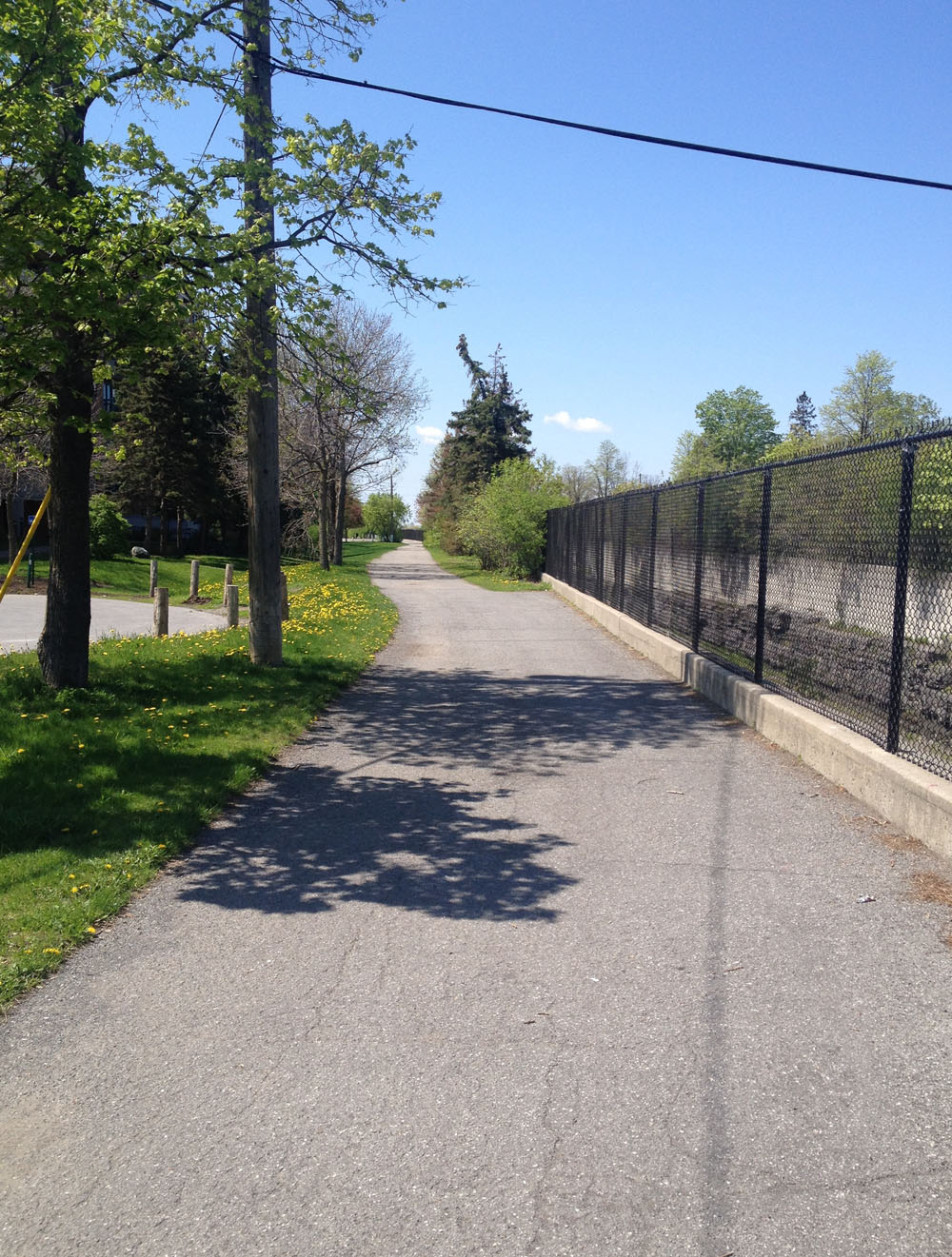
There is a paved path running alongside the north side of Scott St from Bayview Road all the way to it’s western end at Churchill Ave.

From Holland Ave there is a bike lane along Scott St, along with the paved path. The paved path is separated from Scott but bumpier at intersections.

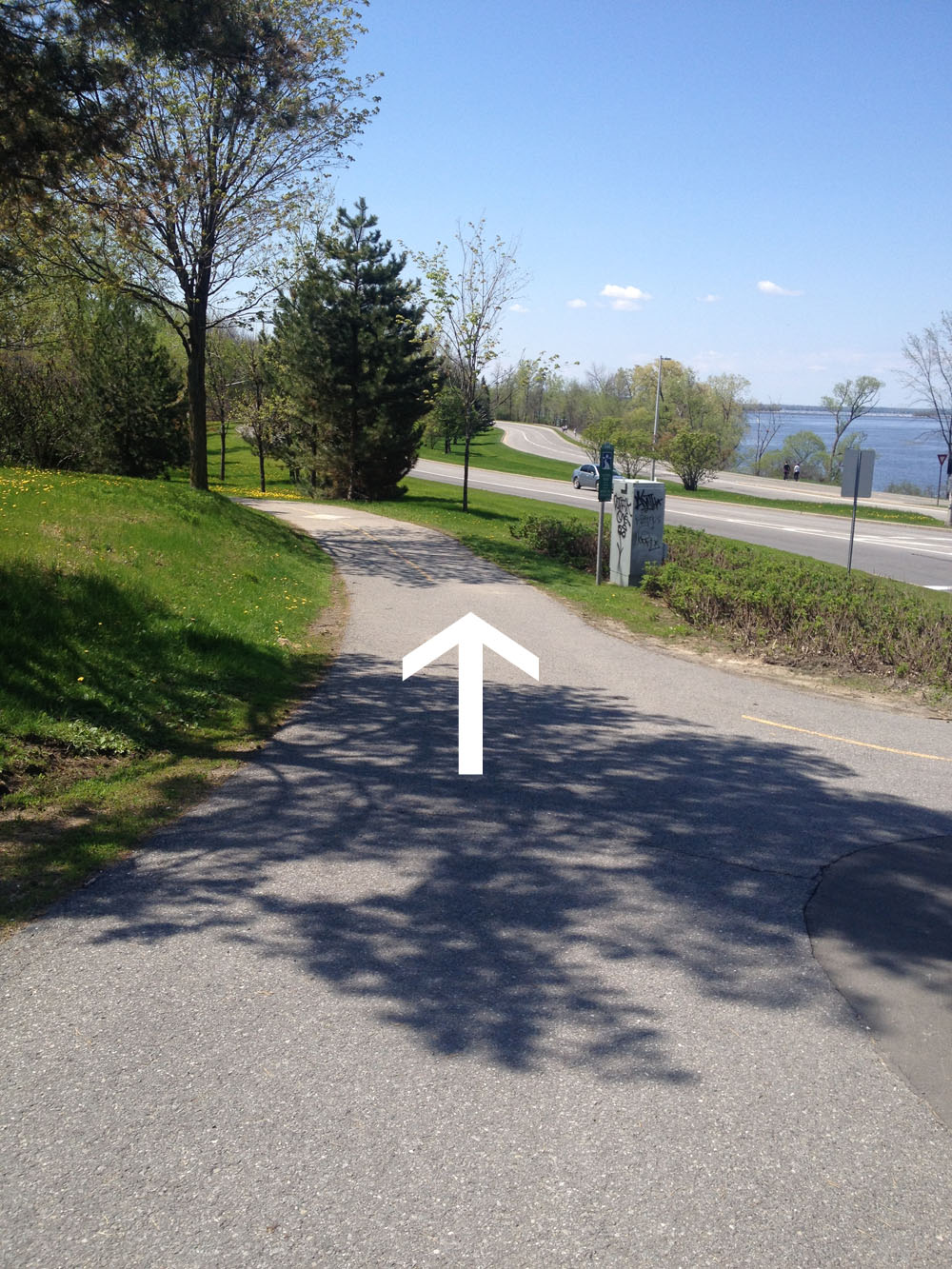
We crossed Churchill Ave where Scott ends and continued along the path that runs above the recessed transit way.
The path continues along the Parkway like so.
At Woodroffe Avenue I make sure there are no cars in sight before crossing. Drivers speed on or off the parkway, and there aren’t any traffic lights to help you get across.
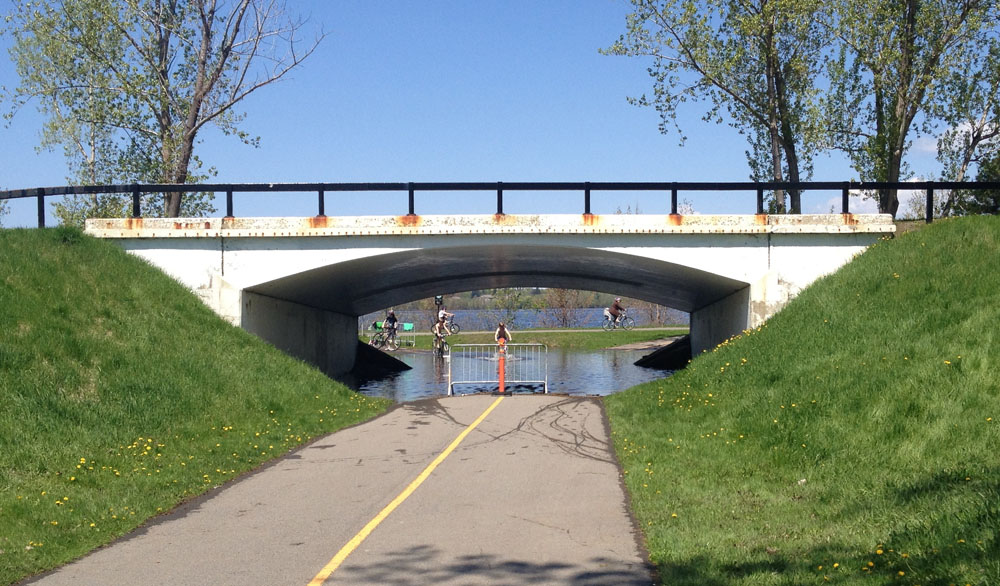
The trail along the south side of the Parkway is a bit narrower and bumpier than the one that runs along the north side of the parkway along the edge of the river. There is an opportunity to get to the north side by taking the underpass the end of New Orchard Ave, as indicated by the red line on the above map, however as of this Sunday, doing so would have resulted in a big soaker, which these kids were relishing in.
I also prefer taking the bumpier south-side-path (imagine tiny speed bumps every 10 feet apart or less) when heading in the opposite direction after dark. While travelling east along the north-side-path I find the oncoming headlights of cars driving west on the parkway pretty blinding.
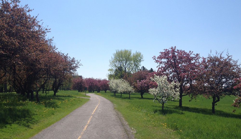
Another great advantage of sticking to the south-side-path at this time of year is being able to ride through this grove of sweet smelling flowering trees, just beyond the Richmond Road underpass.
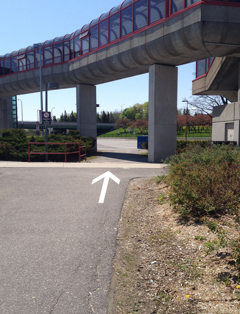
The path dips down towards the Transitway and gets a little convoluted near the station. We rode down under the walkway and up on the other side.
Just beyond the station there is a pedestrian/cycling bridge over the Transitway. We took it.

Once on the other side of the bridge we turned left.

The two paths kiss at the bottom of the hill. We crossed over to the Pinecrest Creek Pathway that runs along the Transitway.

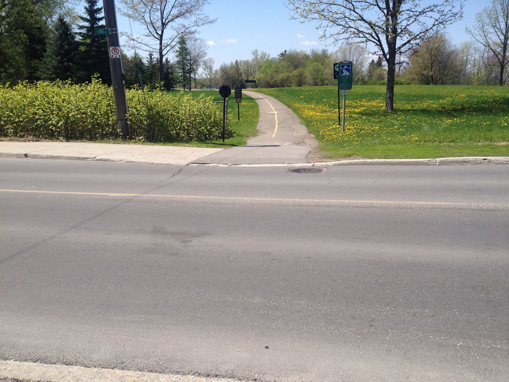
The path goes under the Queensway and up to Iris St, then continues on the opposite corner of Iris, like so.

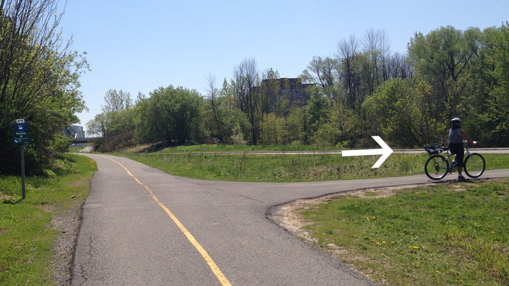
Further along there is a path off to the right. There is a sign (barely visible on this photo) pointing to it that reads ‘Baseline’. If you miss the turn off and wind up by the fire station on Woodroffe you’ve gone too far.
Things get a little tricky just south of Baseline Road where the path jogs around an OC Transpo parking lot. This jog in the path is confusing because it opens up to a huge parking lot with no directional signs to help you distinguish what is parking vs road vs sidewalk vs pathway. Most folks don’t bother with this mini detour and just ride infront of the bus parking rather than go around. So did we.

The path eventually takes a sharp right. That’s where we took a sharp left, which led us over the Transitway, and across Woodroffe Ave towards the Algonquin College campus.

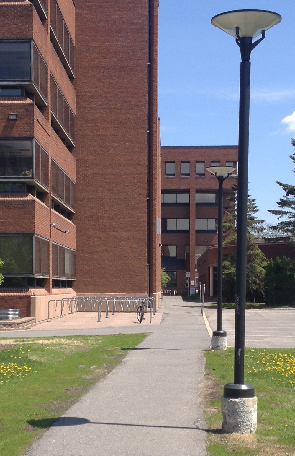
We were pleased to see lots of bike racks on campus.
Et voila!

I rode along Scott rather than in the adjacent the bike path because 1) hardly any traffic at that time of day and 2) the ride was so much smoother.