With recent threats from our southerly neighbour to absorb us, I thought it timely to re-visit a route that checks out examples of long barrelled artillery on display throughout our National Capital Region.
if you are interested in how we’ve evolved from the original Cannons in the Capital tour check it out here .
Our ride begins at the Canadian War Museum. Head over to the immense glass wall along Booth Street and peer in.

This’ll give you a great view of an assortment of big artillery and then some.

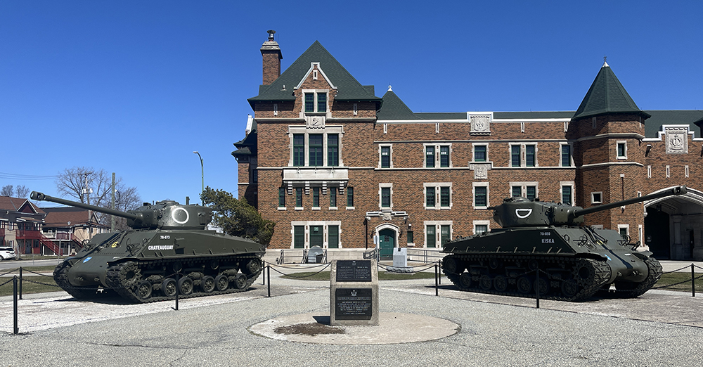
Follow the bike lane north over the Chaudiere Bridge to Gatineau, then turn left along Alexandre-Taché Boulevard. At the corner of Boulevard Alexandre-Taché and Boulevard St Joseph you will find these two tanks on display outside the Salaberry Armoury.
This armoury was named in memory of Lieutenant-Colonel Charles-Michel d’Irumberry de Salaberry. In 1812 Salaberry was put in command of a new corps of volunteers, the Canadian Voltigeurs (light infantry) and in November 1812 they turned away an American attack at La Colle Mill. In October 1813 he and 300 of his troops repulsed several thousand American troops threatening Montreal.
The armoury presently houses the Régiment de Hull.
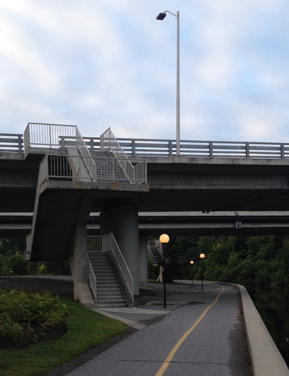
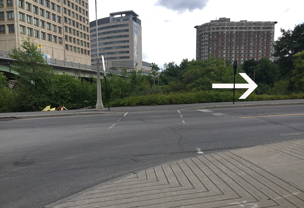
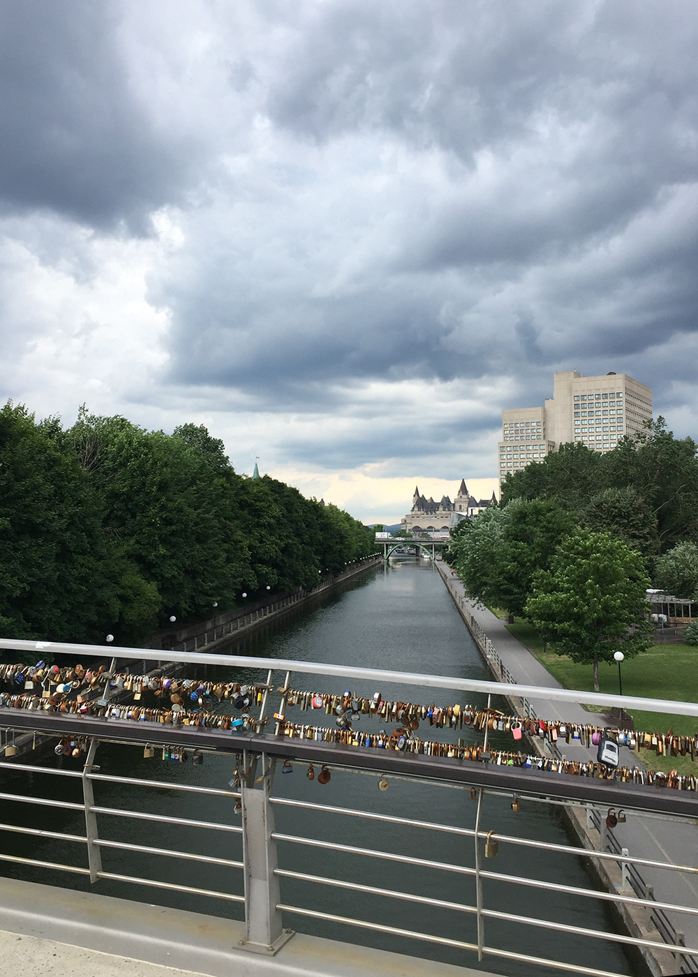
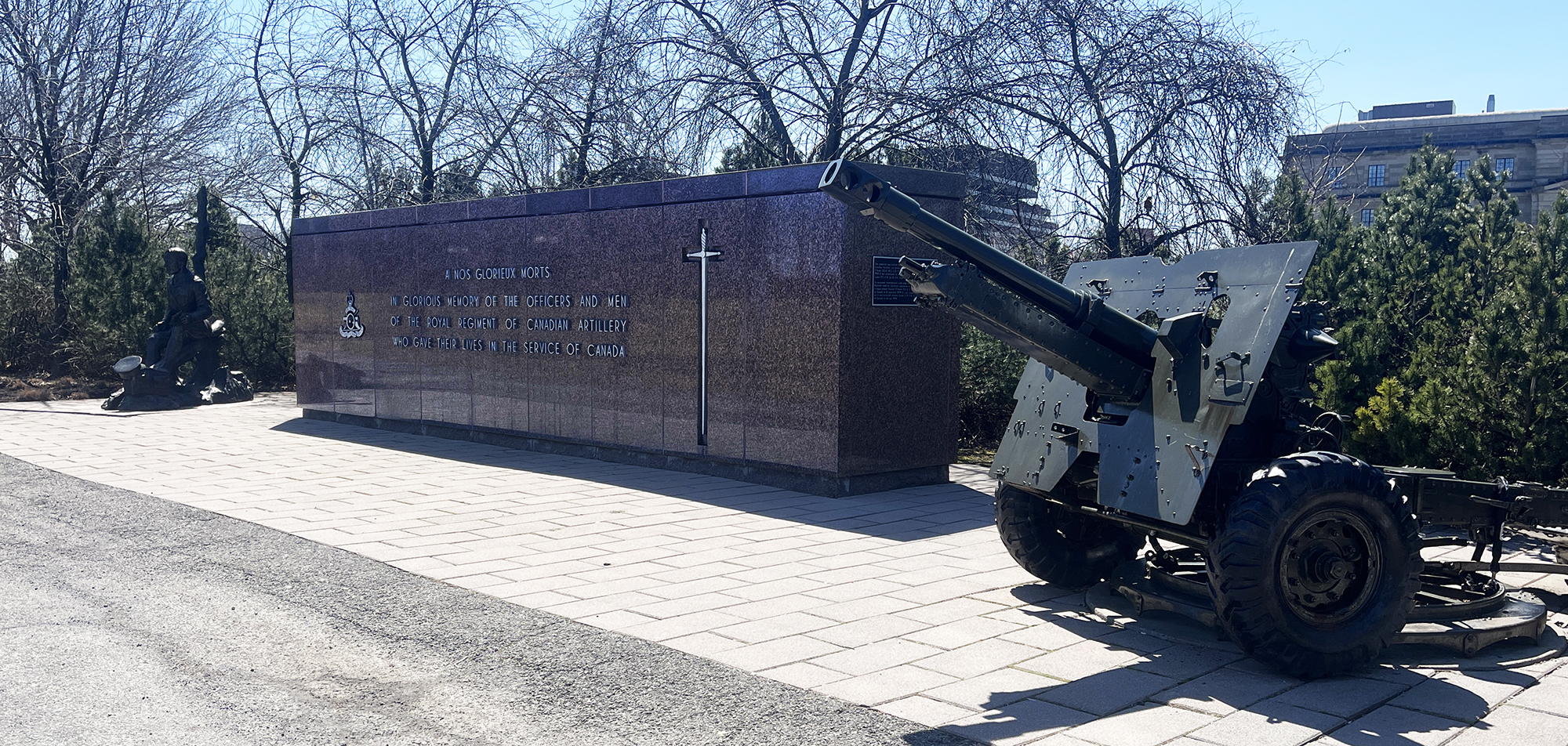
Continue along the route indicated on the map which crosses back over to Ottawa via the Macdonald-Cartier Bridge bike lane. Weave your way behind the National Research Council building and over the pedestrian bridge just above the Rideau Falls. To the right you will see the National Artillery Monument comprised of a memorial wall and 25-pounder artillery field gun, commemorating the Royal Regiment of Canadian Artillery and their members who gave their lives in the service of Canada.
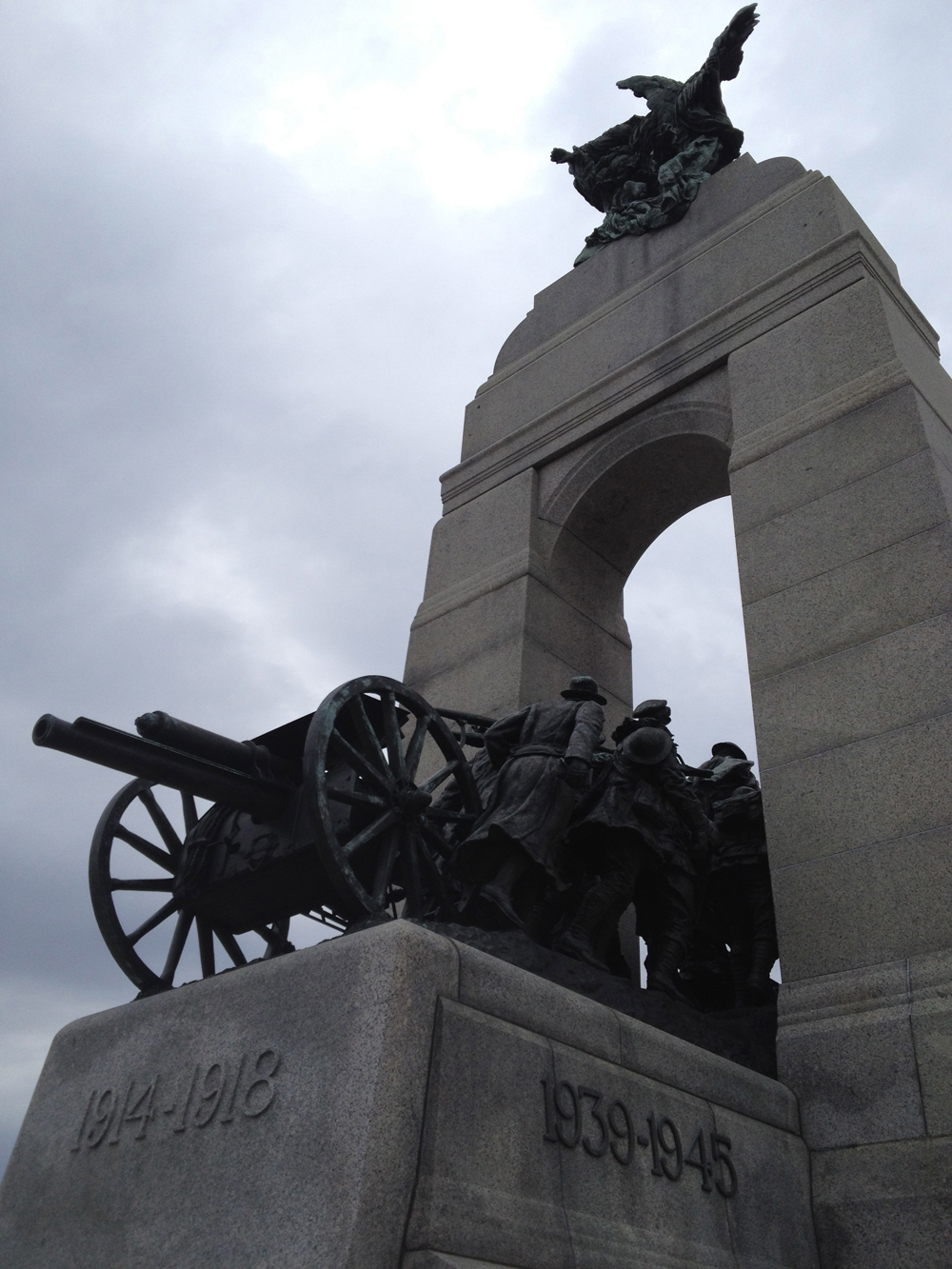
Our ride now heads downtown to the National War Memorial. The sculpture depicted in the memorial is titled The Response. It includes a field gun used in World War I, being pulled through a stone arch by Canadian combatants.
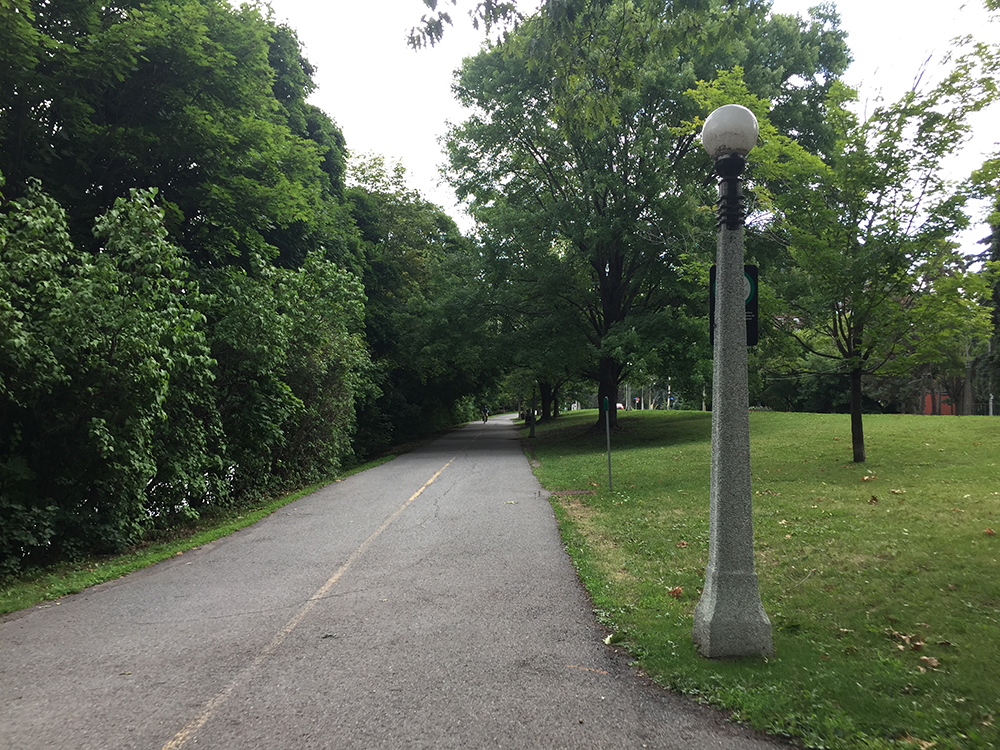
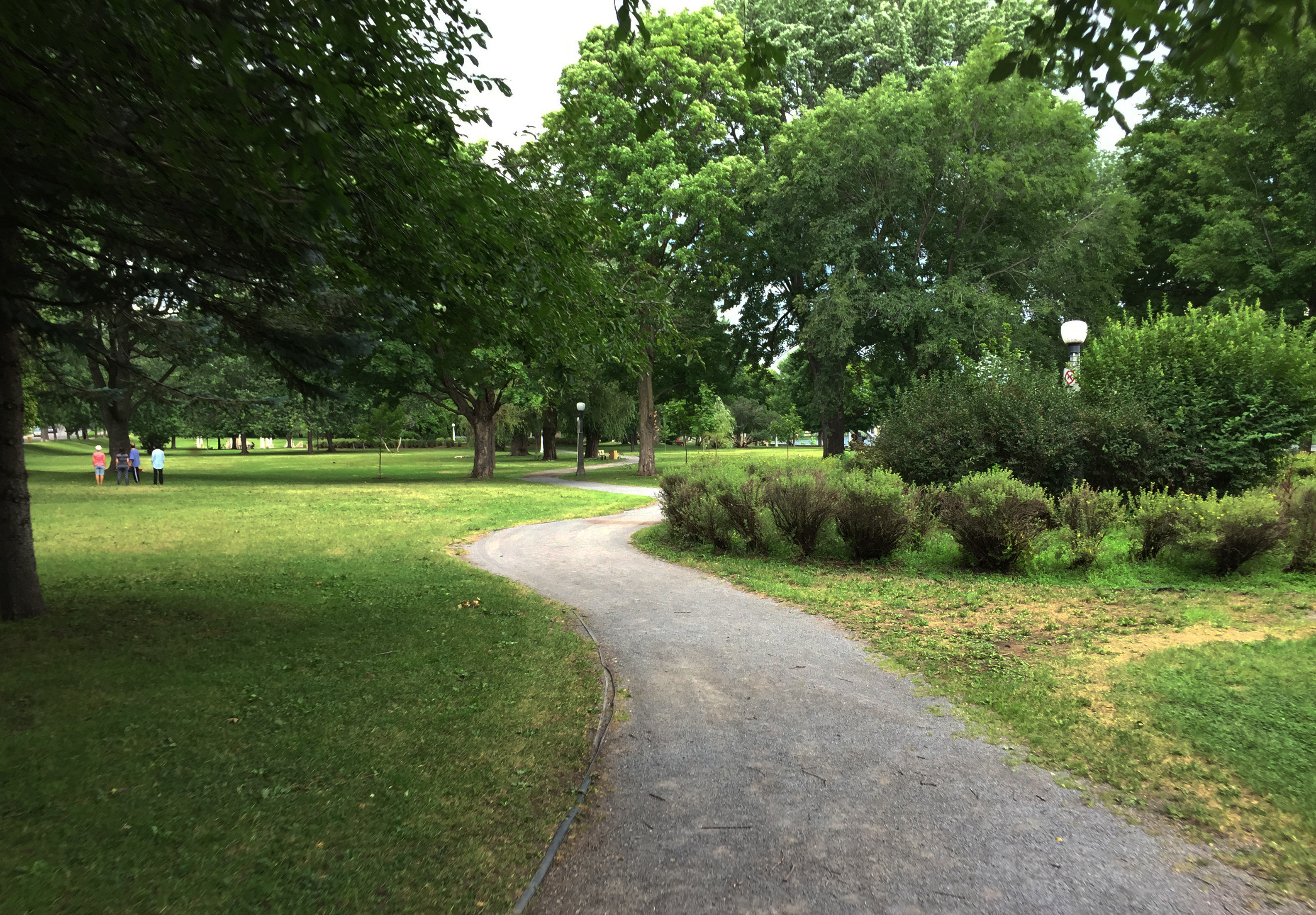
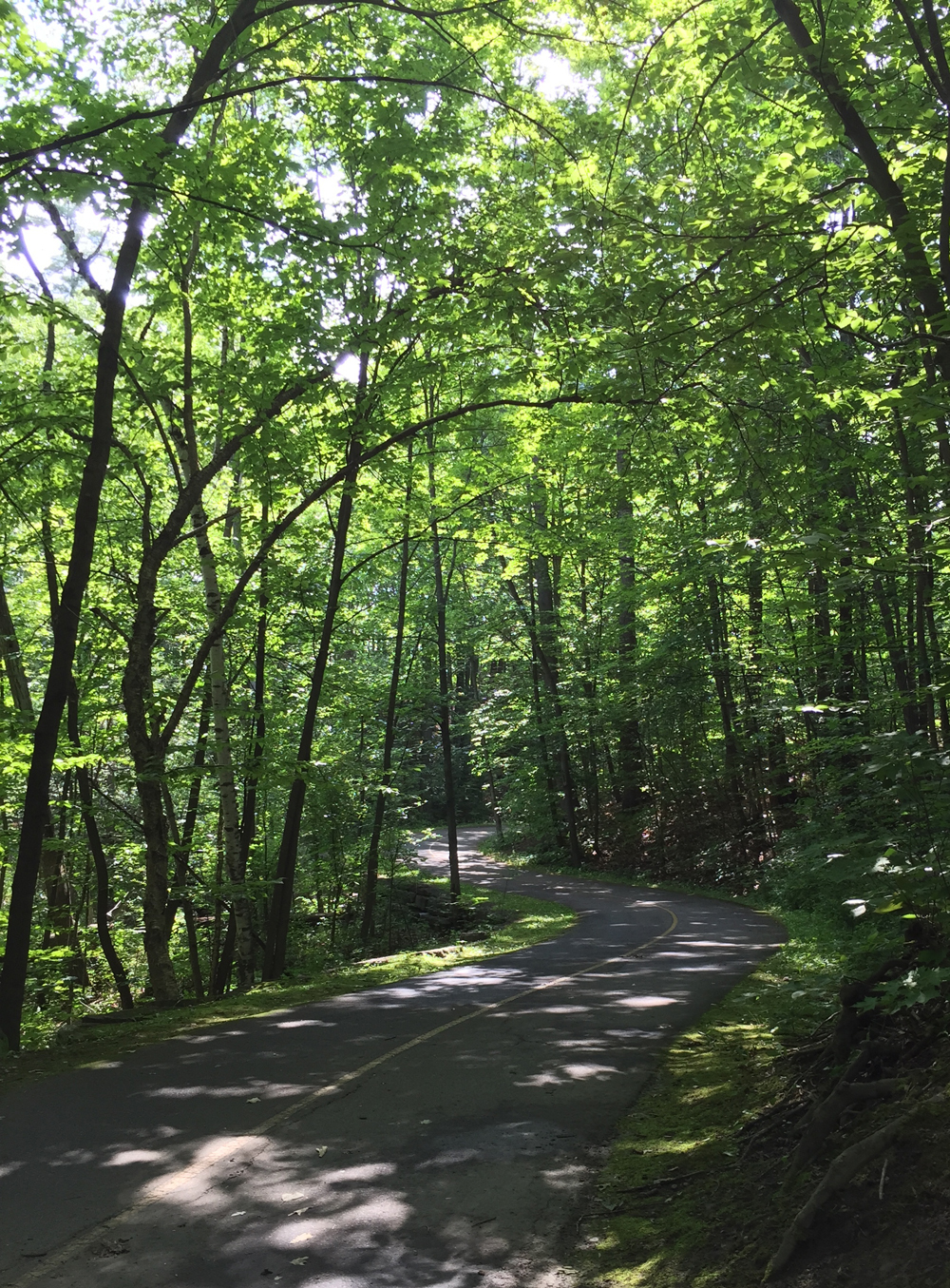
The final stretch of our ride goes along the Rideau Canal via the wonderful Rideau Canal Western Pathway, which takes us to these two replica 9-pounder cannons stationed on the edge of Dow’s Lake, right in front of HMCS Carleton naval reserves. They are part of the National Naval Reserve Monument.
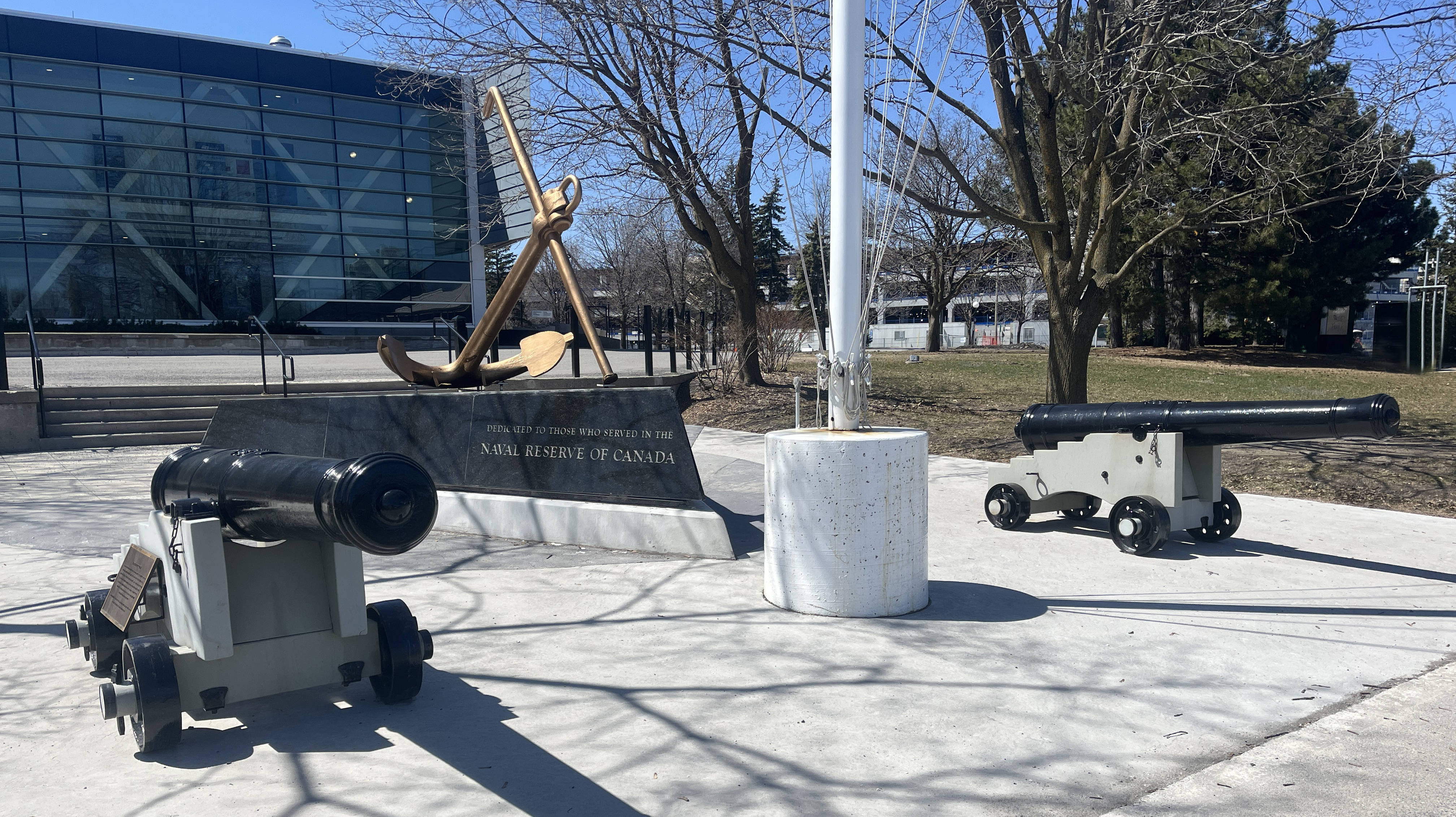
Just around the corner on Prince of Wales Drive, plopped on the lawn of the naval reserves sits a few more contemporary sorts of cannons, visible through some barricade fencing.

So there you have it – many depictions of local cannons to discover! Just wish we didn’t ever need them, but here we are.
Happy trails.