As the new school year begins many students are looking for a bike route to their campus. Susan requested one to Algonquin College from her home in the Alta Vista ward. Here’s what I came up with.
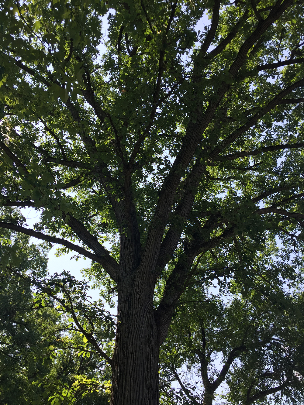
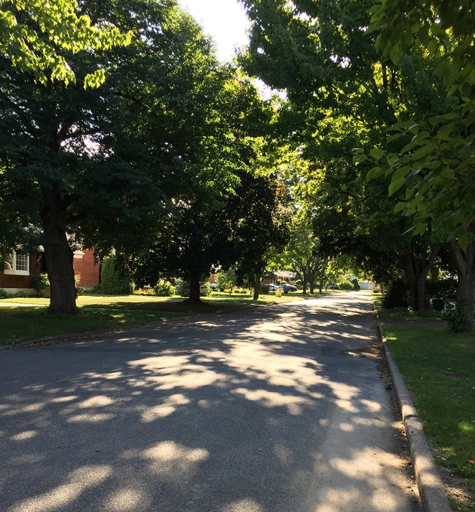
Our ride begins at the corner of Colson Avenue and Saunderson Road. Head west along Colson, a quiet residential street lined with big trees and a beautiful leafy canopy.
Turn left onto Haig Drive then cross Dauphin Road to get to Portage Ave. Portage becomes a dead-end for cars but merges into a bike path that runs along the edge of Lynda Lane Park.

This leads you to Lynda Lane which is a slightly busier street but there is a bi-directional bike lane on the western side of the road that brings you a block over to Pleasant Park Road.

Pleasant Park Road is a busy street that cuts east-west through Alta Vista. Many cyclists tend to use it because it is direct and the lanes are wide enough to accomodate a car and bike. There are also a couple of stop signs that help calm down speedy drivers. Unfortunately it doesn’t have bike lanes.

An alternative to riding along Pleasant Park Road would be to cycle down Billings Avenue, which is a calmer street that runs parallel to Pleasant Park as far as Rodney Crescent (see orange line on the above map), however it doesn’t have traffic lights to get across busy Alta Vista Drive.
Pleasant Park dips down to where it meets Riverside Drive. There are lights to get you across Riverside to a bike path that links to the Rideau River East Pathway.

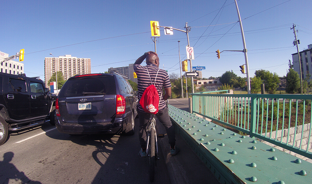
Ride along the very picturesque Rideau River Eastern Pathway to Bank Street for a few hundred yards. This brings us to the the worst section of our route – crossing the Bank Street bridge over the Rideau River. One may chose to ride in the roadway but that would force you into in a narrow car commuter artery that barely has enough room for the existing four lanes of impatient drivers. There are sharrows (a bike logo with a couple of pointy lines) painted on the surface of the outside lanes that are barely visible. Research has shown sharrows to be worse than useless, they are dangerous as they instil a false sense of confidence in cyclists by suggesting they are safe bike infrastructure when they aren’t. A safer alternative to riding in the roadway over the Bank Street bridge is to walk your bike along the protected sidewalk. One small consolation is this bridge isn’t very long.

Sadly, safe options for biking across the Rideau River in this part of town do not exist. I’ve shown an alternative route on the map at the bottom of this post that continues along the Rideau River eastern Pathway up to Hogs Back Drive, but Hogs Back Bridge is closed for repairs requiring you to walk your bike across the boardwalk detour over the canal. While this detour is nice and accomodating, the time required to access and negotiate it is most likely the same as walking your bike across the Bank Street Bridge. Also, working your way to and through the intersection of Prince of Wales Drive and Hogs Back Drive is a dangerous mess.
So, back to the suggested route. Once across the bridge take the path that circles under the bridge and up past the Olympic medal display to Warrington Drive.

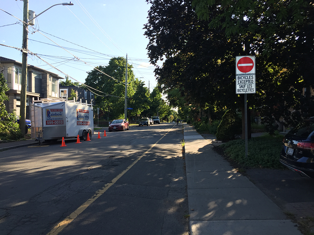
Continue along Warrington Drive, a nice quiet street that runs along the river, then turn right onto Wendover Street which brings you to Cameron Avenue. Cameron is a one way heading east, however there is a bike lane heading west. Very convenient. Follow this path all the way to Brewer Park.
Ride along the path that cuts through Brewer Park to the lights that take you across Bronson Avenue.

Once across Bronson cut through the Carleton University campus over to Library Road as per the above map. The only tricky spot heading across campus is the tunnel under the O-Train tracks. It’s a little narrow and has a sharp turn to the right at the western end.

Take the paved link from Library Road to the crossing at Colonel By Drive.

Once across Colonel By push your bike up the ramp to the canal.

Getting across the canal requires carrying your bike up and down a couple of steps and pushing your bike over the locks.
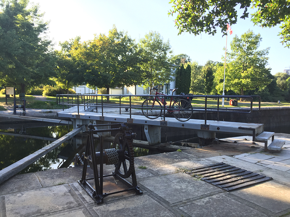
Take the path perpendicular to the canal that leads to a service road which doubles as the start of the Experimental Farm Pathway.


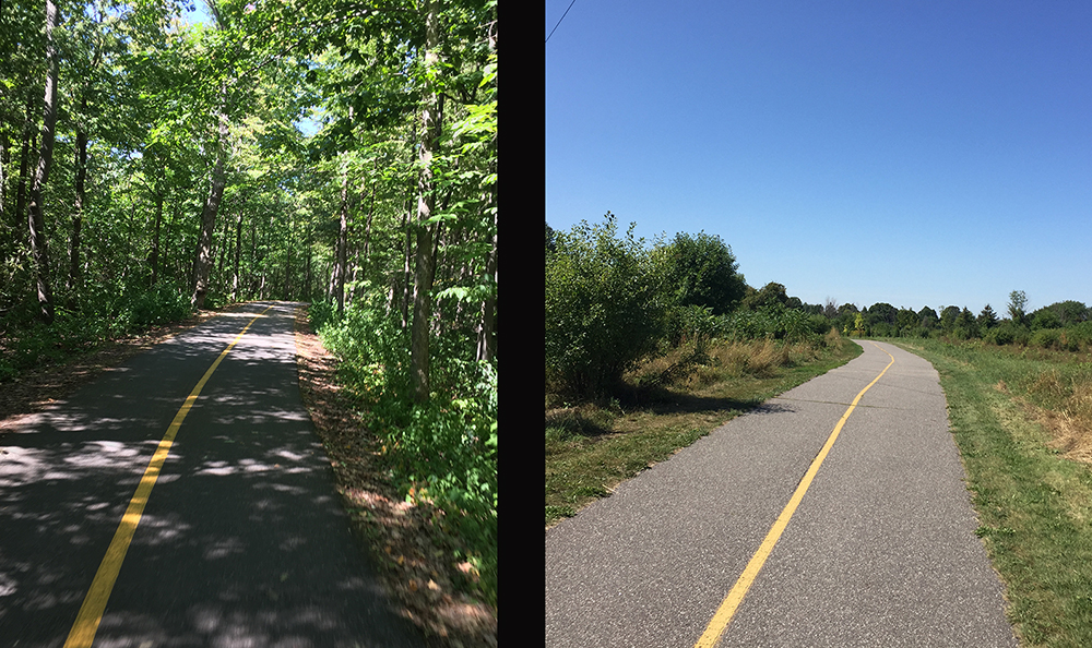
Now you will be following the Experimental Farm Pathway for quite a distance all the way to Woodroffe Avenue. It is mostly paths with some stretches along quiet roads with a wonderful mix of scenery. Fortunately the pathway is quite well signed.

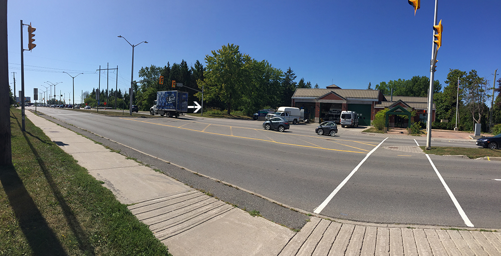
The only messy spot is the crossing at Fisher Avenue. Fisher is a busy street that requires lights to get across, but the crossing doesn’t allign with the path on the west side of the Fisher and the trail sign isn’t visible from the lights.

There also isn’t a bike lane heading north to get you from the crossing to where the path continues. This forces one to take to the sidewalk or ride along the space between the sidewalk and oncoming bike lane.

So, the Experimental Farm Pathway at Fisher is a bit of a mess, but once back on the path on the other side of Fisher things continue smoothly westwardly.
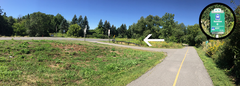
The Experimental Farm Pathway ends at Woodroffe Avenue. There are lights to get you across this very busy street. On the other side of Woodroffe the Watts Creek Pathway continues just to the left of the fire station.
The path dips down along the transit way. Take the exit off the pathway where the sign points to Baseline.
This path then crosses the transitway then goes under Baseline Road. Things get a little tricky just south of Baseline where the path circles around an OC Transpo parking lot. Most cyclists don’t bother with this mini detour and just ride infront of the bus parking .

You will see the Algonquin Campus on the other side of Woodroffe. I continued along the path beside the transitway and crossed over to the campus at College Avenue.

Et voila!
Here is the alternative route that continues along the Rideau River Eastern Pathway at and crosses the river at Hogs Back versus at Bank Street.