In the Spring of 2014 I posted a bike commute route from the intersection of Aviation Parkway & Montreal Road to downtown which you can check out by clicking here.
This summer two new lengths of bike lanes along busy roads have been introduced that allow for a less circuitous route. The first set of new lanes are along St Laurent Boulevard, linking previously existing bike lanes that run along Montreal Road and Hemlock Road, which turns into Beechwood Avenue.
UPDATE 2018 : Bike lanes have been added to the full length of Beechwood, indentified by the purple line on the map, which allows for a slightly less circuitous route than the one described below.
The second set of new lanes encountered on this outing are along Sussex Drive that complete an important bike link from downtown to the Ottawa River Pathway.
I tried out the route one morning last week during commute hour. Here’s how it went.
.
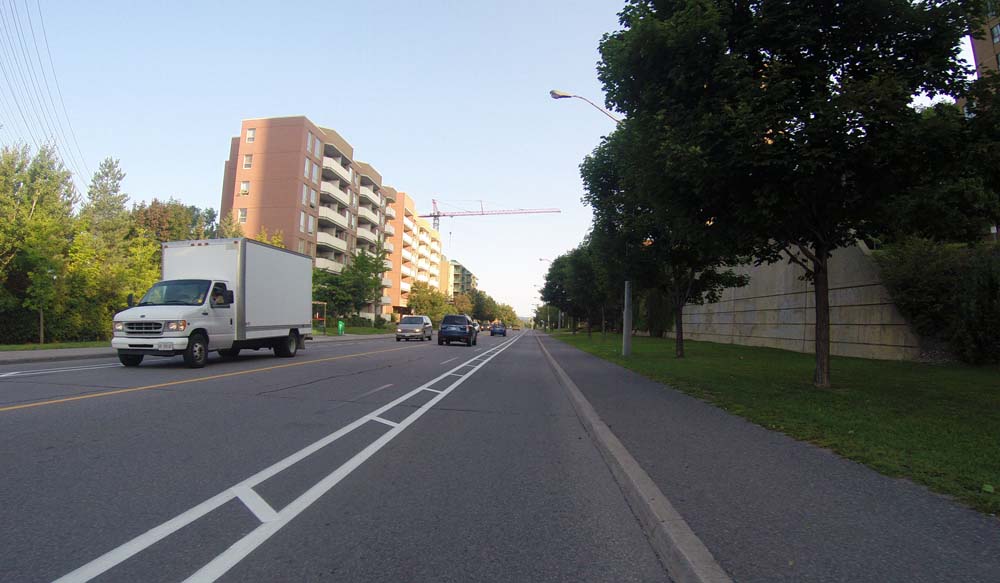
There are bike lanes along Montreal Road that end at St Laurent Boulevard heading west.
Bike lane along Montreal Road
I turned north on St Laurent and rode down the freshly painted bike lanes.
Bike lane along St Laurent Boulevard
Here’s a clip of my ride along the new bike lane along St Laurent heading north.
I turned left onto Hemlock Road and followed the bike lane to where it ends at Putman Avenue.
Bike lane along Hemlock
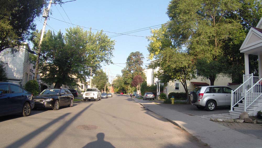
Headed west along Putnam then left down Vaughan Street, both quiet residential streets through New Edinburgh.
Riding through New Edinburgh
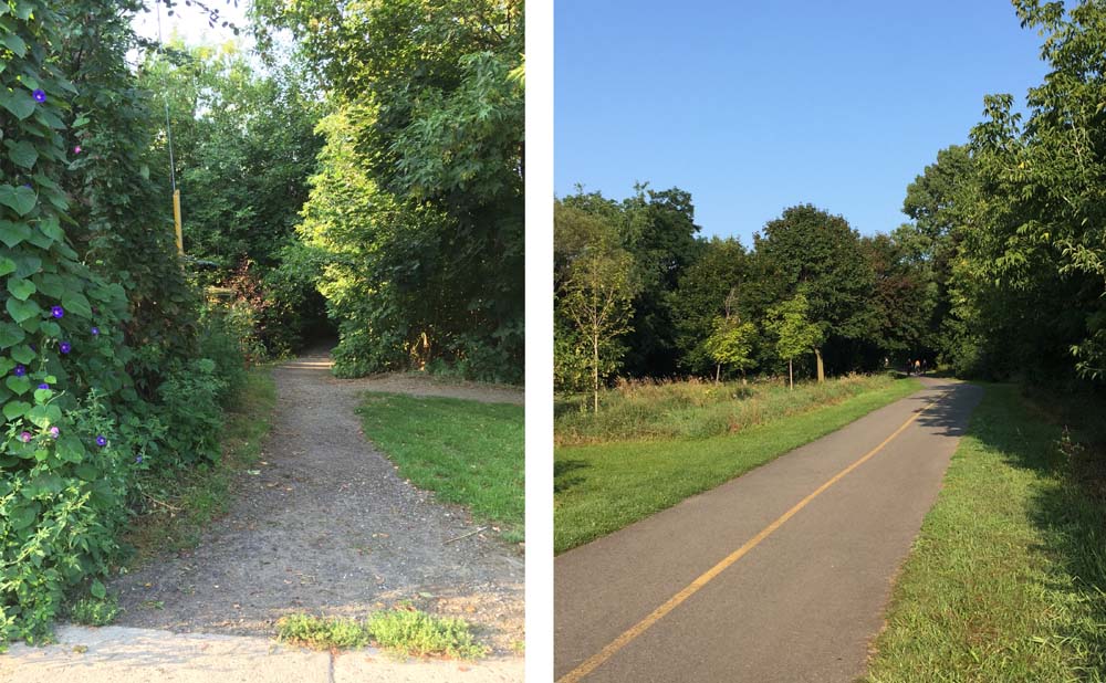
Vaughan ends at Crichton Street. A short jog west along Crichton took me to a gravel path that links to the Rideau River Eastern Pathway.
Gravel path off Crichton that leads to…..the Rideau River Eastern Pathway
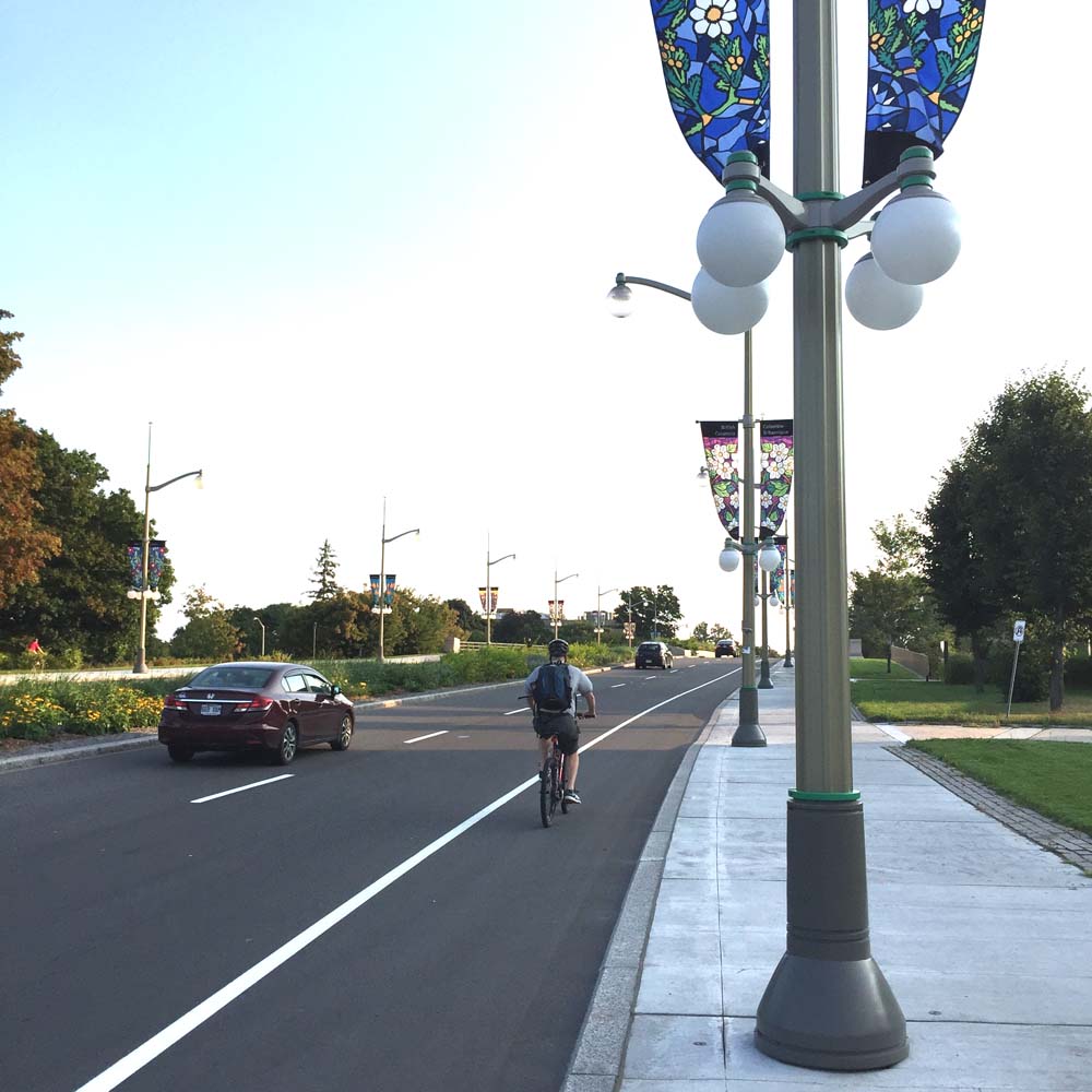
This brings you to the bike lanes along Sussex Avenue. Turn left onto Sussex towards downtown.
Bike lane along Sussex
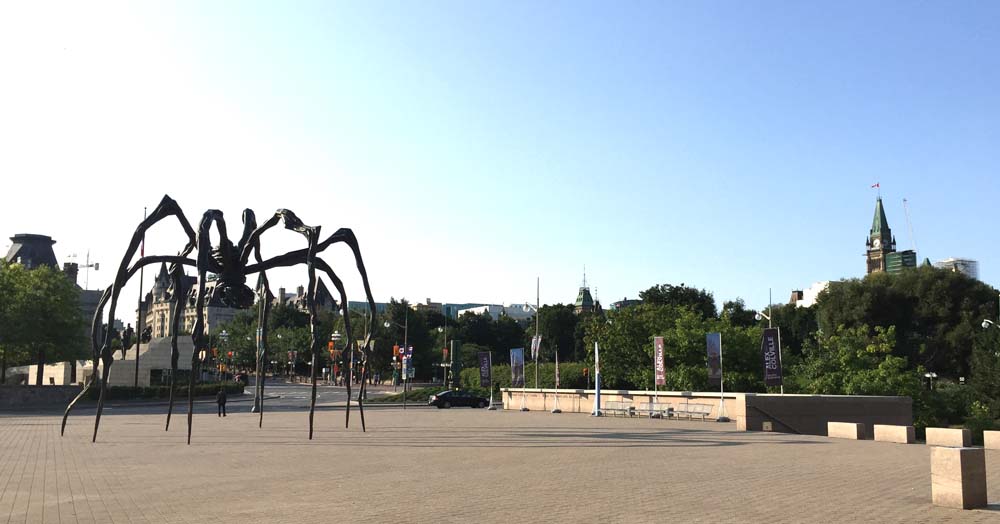
I then turned in to the parking lane of the National Gallery and cut across the plaza where one can admire Louise Bourgeois’ sculpture Maman.
Maman
Here’s another clip, this time of the new section of bike lane along Sussex heading in to town.
I then crossed at the signalized pedestrian crosswalk over to the bike lanes that run along Majors Hill Park. Before crossing the Alexandra Bridge (which would be a fine thing to do if your commute was to Gatineau) I turned left onto the road that goes down to where the Rideau Canal meets the Ottawa River and walked my bike over the second set of locks. From there one can follow the Ottawa River Pathway to points further west along the river, or bike up along the canal towards the NAC and the rest of downtown.
Blue Skies Music Festival is a wonderful three day event that takes place on the first weekend of August in Clarendon Station. For the third consecutive year I’ve biked down to the site, exploring different routes each time (click here for route #2, and click here for route #1). This year I cheated a bit on the way out of town. I’ve been wanting to try the OC Transpo Rack&Roll for quite some time, whereby you mount your bike on a rack attached to the front grill of the bus. So, at 5:25 a.m. I caught the 96 at Lebretton Flats and bussed it out to Kanata. I was nervous using the Rack&Roll for the first time however after studying an online video the night before, as well as following instructions printed on the rack itself, it was relieved to find it all very clear and straightforward.
The blue line on the following map is the route I rode to Blue Skies. The purple lines are alterations followed on the way back.
.
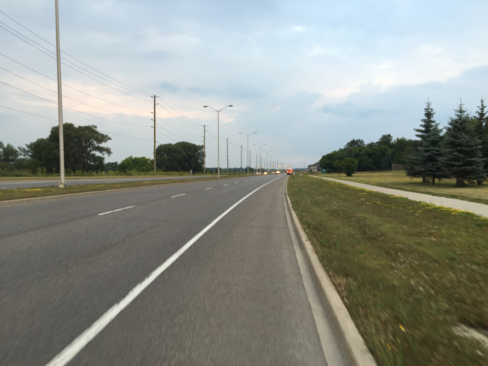
After the bus driver dropped me of at the Kanata Centrum Shopping Centre I rode along Terry Fox Drive which has bike lanes.
Bike lane along Terry Fox Drive
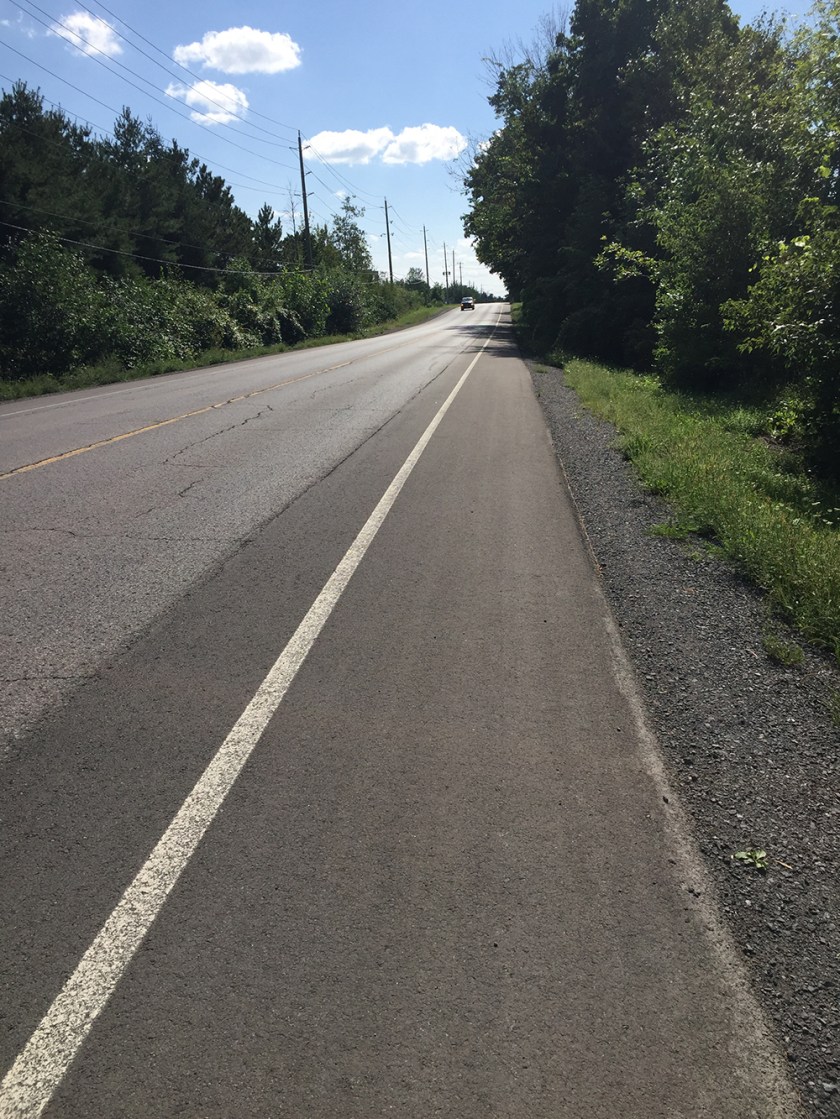
I turned west onto Richardson Side Road – two narrow straightaways of crazy speeding truck traffic and soft gravel shoulders.
UPDATE – August 2018: Very pleased to discover that generous paved shoulders have been added along Richardson Side Road between Terry Fox Drive and David Manchester Road, narrowing to about 1 meter along the bridge over the Trans-Canada Highway.
Richardson Side Road 2018
Once across the bridge over the Trans-Canada Highway I was very pleased to turn off onto David Manchester Road.
I then headed west along Old Almonte Road, which alternated between packed gravel and paved surfacing. It was very pleasant ride all the way to Ramsay Concession 12.
Next time I would continue all the way along Almonte Road to Mississippi Mills, rather than via March Road, as suggested by the purple line on the above map which I followed on the way back from the festival.
Old Almonte Road
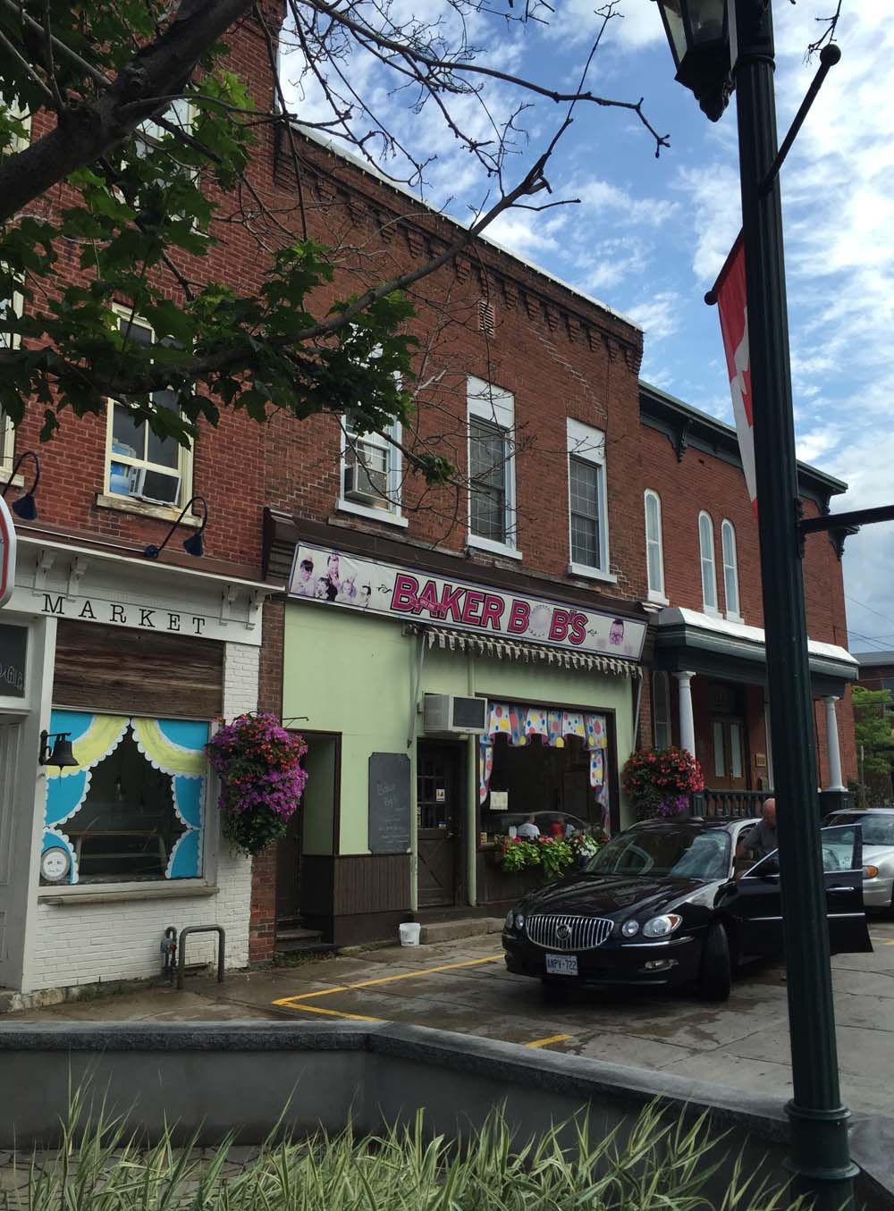
I took the advice of a theatre colleague who lives in Almonte and popped in to Baker Bob’s just off Mill Street for a tasty snack & coffee.
Baker Bob’s in Almonte
I headed west out of Almonte along Wolf Grove Road. This was a another extended white knuckle riding stretch of road, i.e. two lanes of fast moving traffic with minimal or no paved shoulder. I had to ride off onto the gravel shoulder a couple of times, like when the big ass Winnebego roared up behind me as a cement truck flew by in the opposite direction. On such occasions I use my trusted rear view mirror to assess what’s coming up fast, and whether they look like they have time and room to safely get around me.
Wolf Grove Road
I exited off Wolf Grove Road onto quiet Purdy Road.
Purdy Road
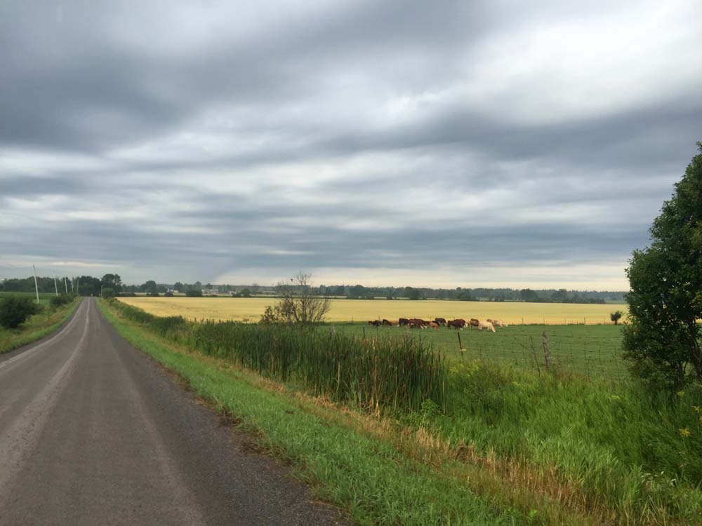
The roads to Herrons Mills and the 511 were a combination of paved and gravel surfaces along farms and woodland.
North on 511 took me to Watson’s Corners Road, another paved two laner but with much less frantic traffic. Everyone slowed down as they drove up behind me and passed only when they were sure there was lots of room to do so. Why do driving behaviours change on various rural roads, even though their physical arrangements are similar? I don’t know.
Watson’s Corners Road just west of the 511
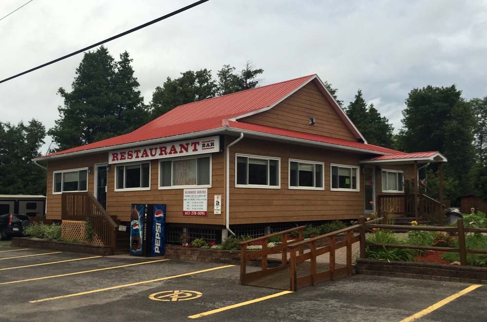
I was soon in need of a big lunch break. The sun was beating down, the hills were mostly up hilly, and the strong easterly wind had been in my face for quite some time. Fortunately the Dalhousie Lake Restaurant down the road at the eastern edge of Dalhousie Lake was open and very hospitable. Even offered to fill my water bottle without my having to ask.
Dalhousie Lake Restaurant
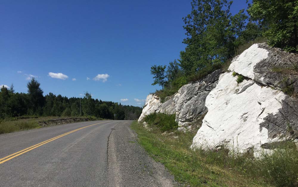
After a yummy lunch I worked my way over to McDonalds Corner Road and continued west. McDonalds Corner Road was another two laner which became the Elphin-Maberly Road. Parts of this section were freshly paved. The white stone gravel along the shoulder created a very dense surface, more so than most typical gravel or sand shoulders. The harder the shoulder, the safer the bail-out.
White stone gravel shoulder
I turned off Elphin Maberly onto Robertsville Road, a packed gravel road that went up and down all the way to the 509.
Robertsville Road
I turned south onto the 509, which is another two lanes of very speedy intermittent traffic.
Riding down the 509
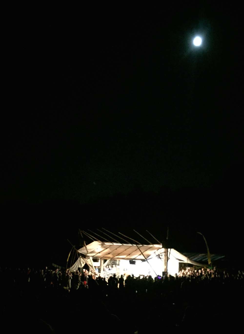
I made it to Clarendon Station by 2:45.
Exit off the 509 to Clarendon Station
I followed the same route back to Ottawa early Monday morning, apart from a short cut to the 509 from Clarendon along School House Road, the short section along Old Almonte Road as previously mentioned, and the portion covered by my bus ride to Kanata. I made very good time on the return trip because the wind was at my back, and Ottawa is at a lower elevation by 162m, so mostly downhill.
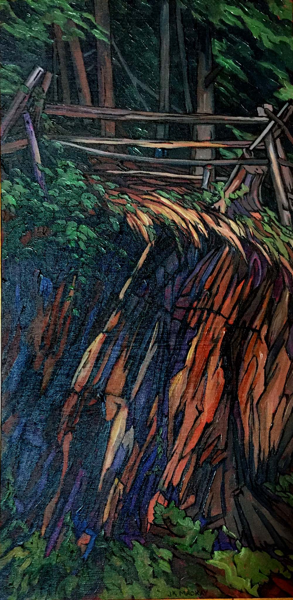
Here’s a painting by artist Janet MacKay, inspired by an image I included in last years post. Many of Janet’s works draw upon and capture the rich contrasts evident in the landscape of Frontenac County where the festival takes place. She spends much of the year painting at her cottage nearby on Sharbot Lake.