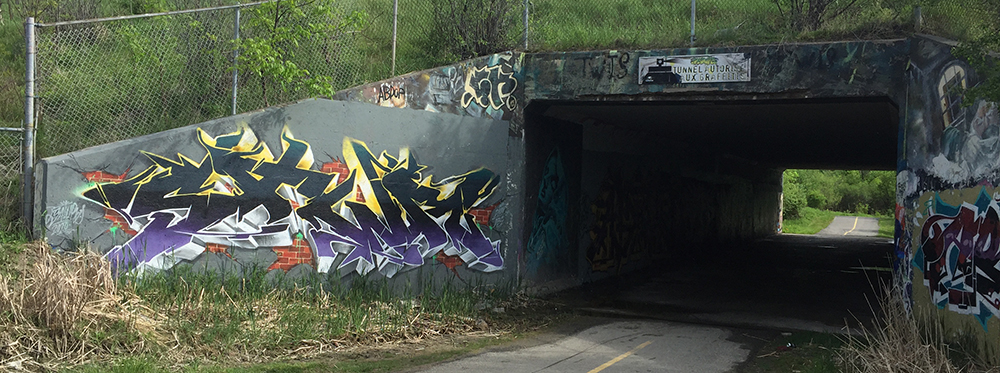
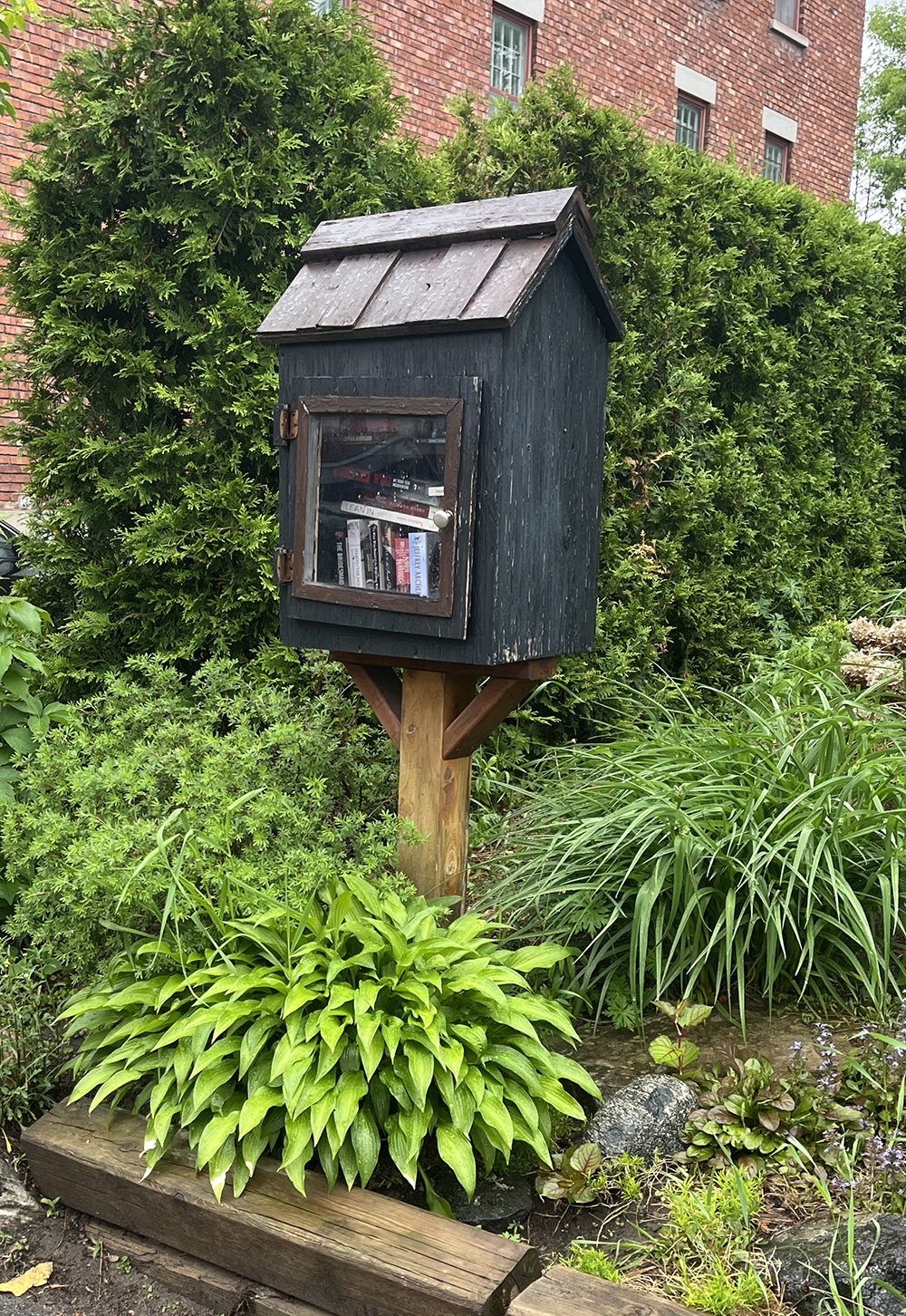
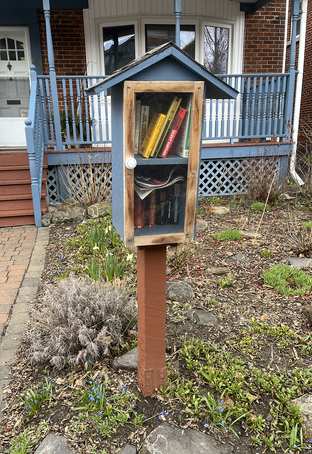
Swap Boxes and Little Free Libraries are a great way to share books and other items amongst neighbours and passersby. Here’s how they work: usually streetside, people are enticed to open them up. If something inside strikes their fancy they can take or exchange the item with something else. I started this route back in 2016, updating the map annually with boxes as they come and go or have been modified. Everyone who has one loves the joy and sharing that they contribute to the community!
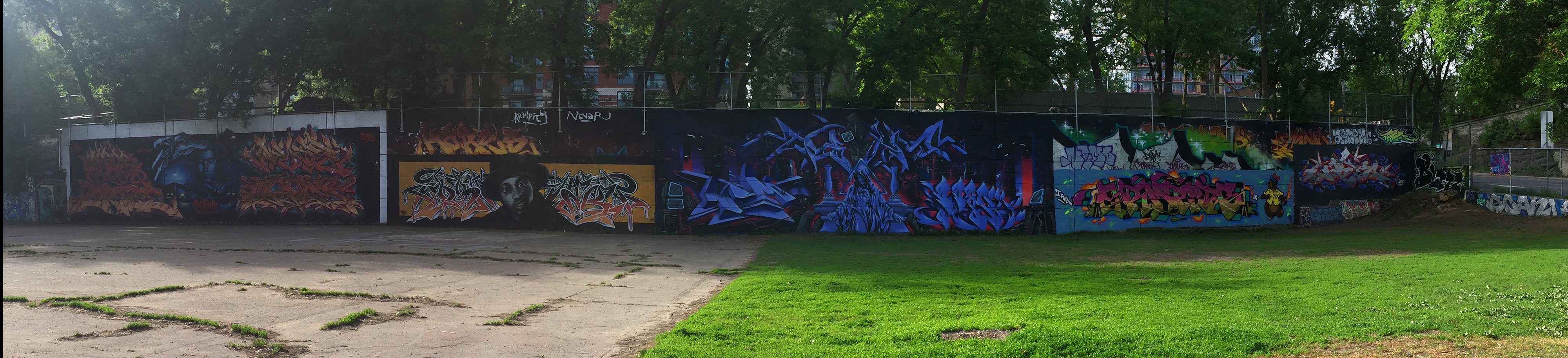
We were inspired to put up a swap box in front of our place after discovering a number of others around town that had been created by the late street artist Elmaks. There is also an online group you can register your book swap box called Little Free Libraries. Here’s an article in the Kitchissippi Times on some of those local little libraries.
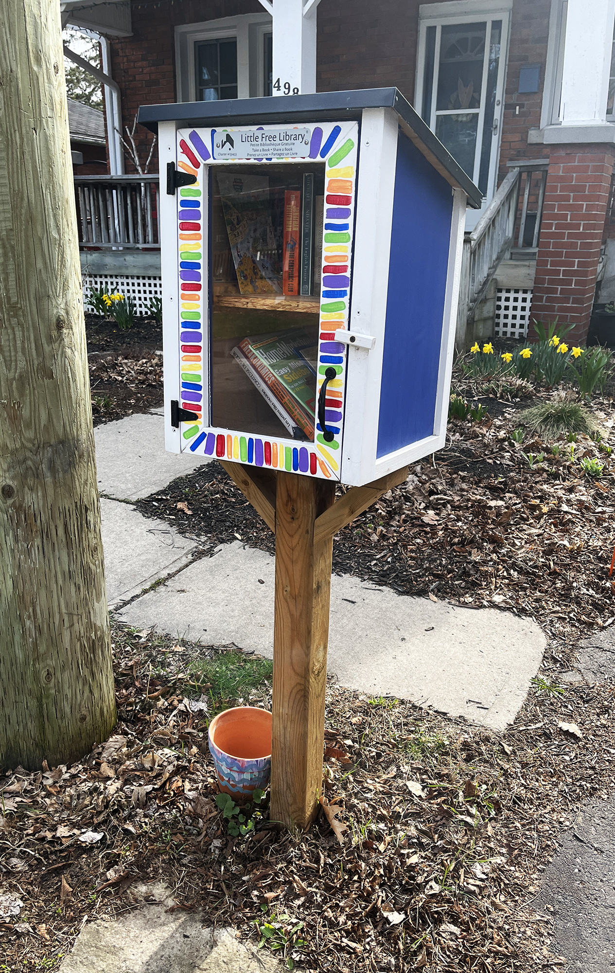
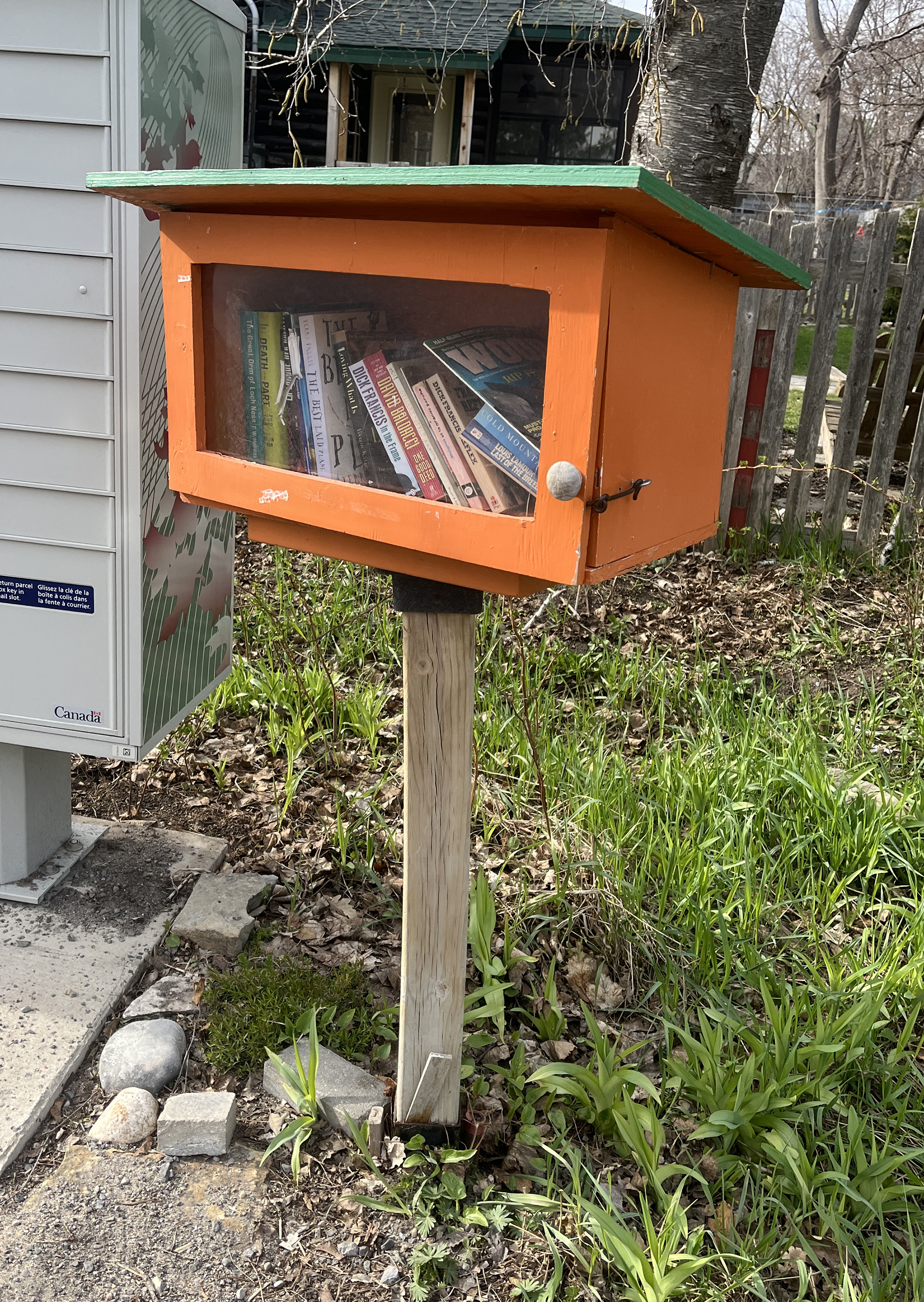
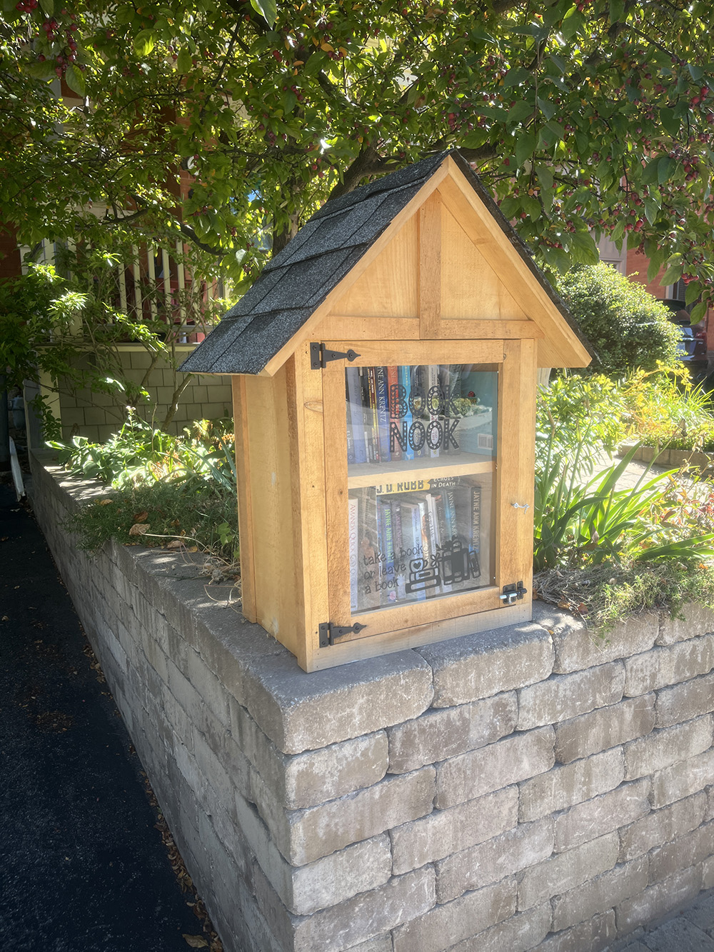
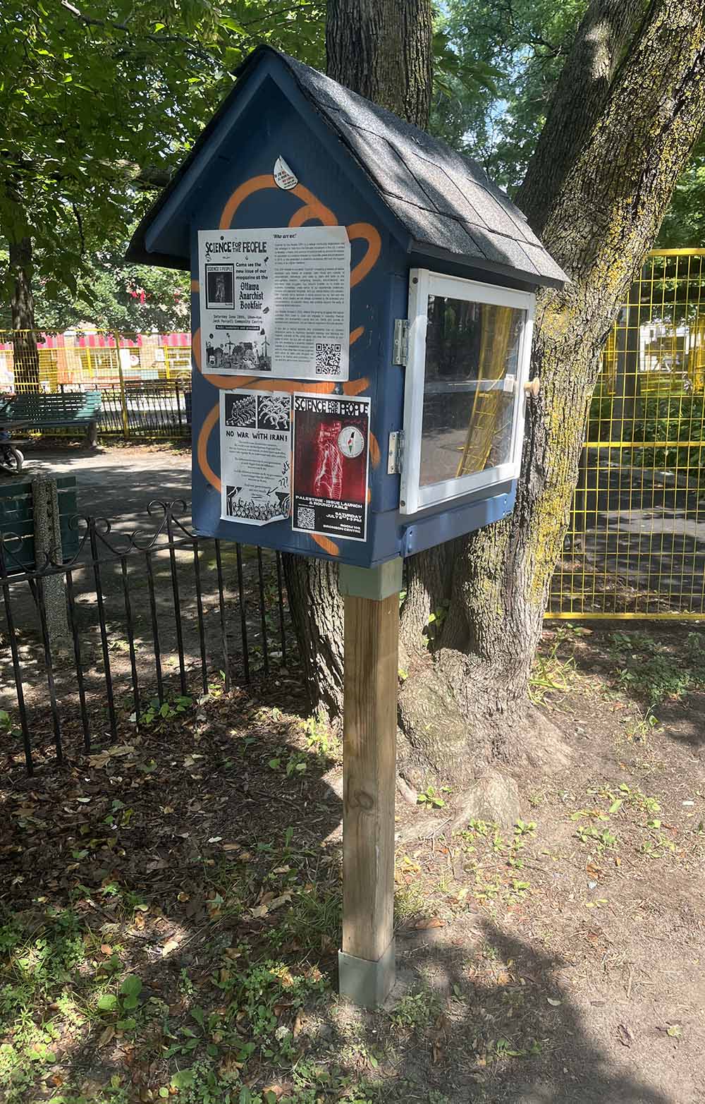
First stop – Cambridge St North Swap box, just north of the Chinatown Arch. This one has separate little art box that is updated regularly.

Our next box is Down Nanny Goat Cliff on Rochester St.

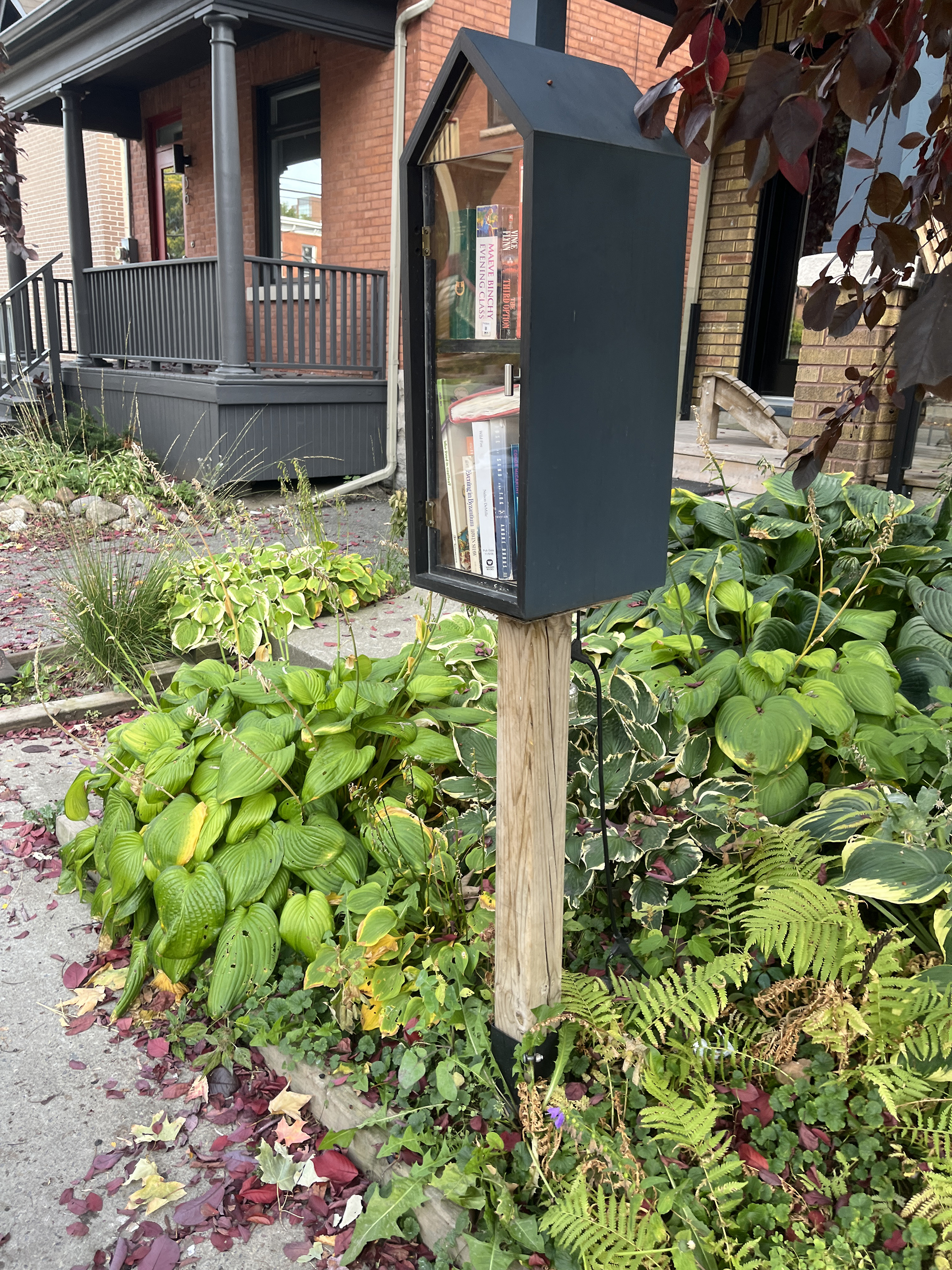
One square block south-west there sits this converted newspaper box at the corner of Preston and Elm.

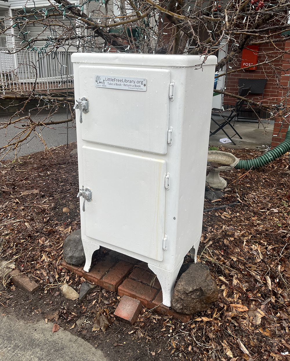
Head over to the Trillium pathway that runs along the O-Train and follow it south as far as Beech St. Half a block east on Beech you will find this cleverly converted ice box to Little Library.
Next it’s over to this swap box at 249 Loretta Avenue.

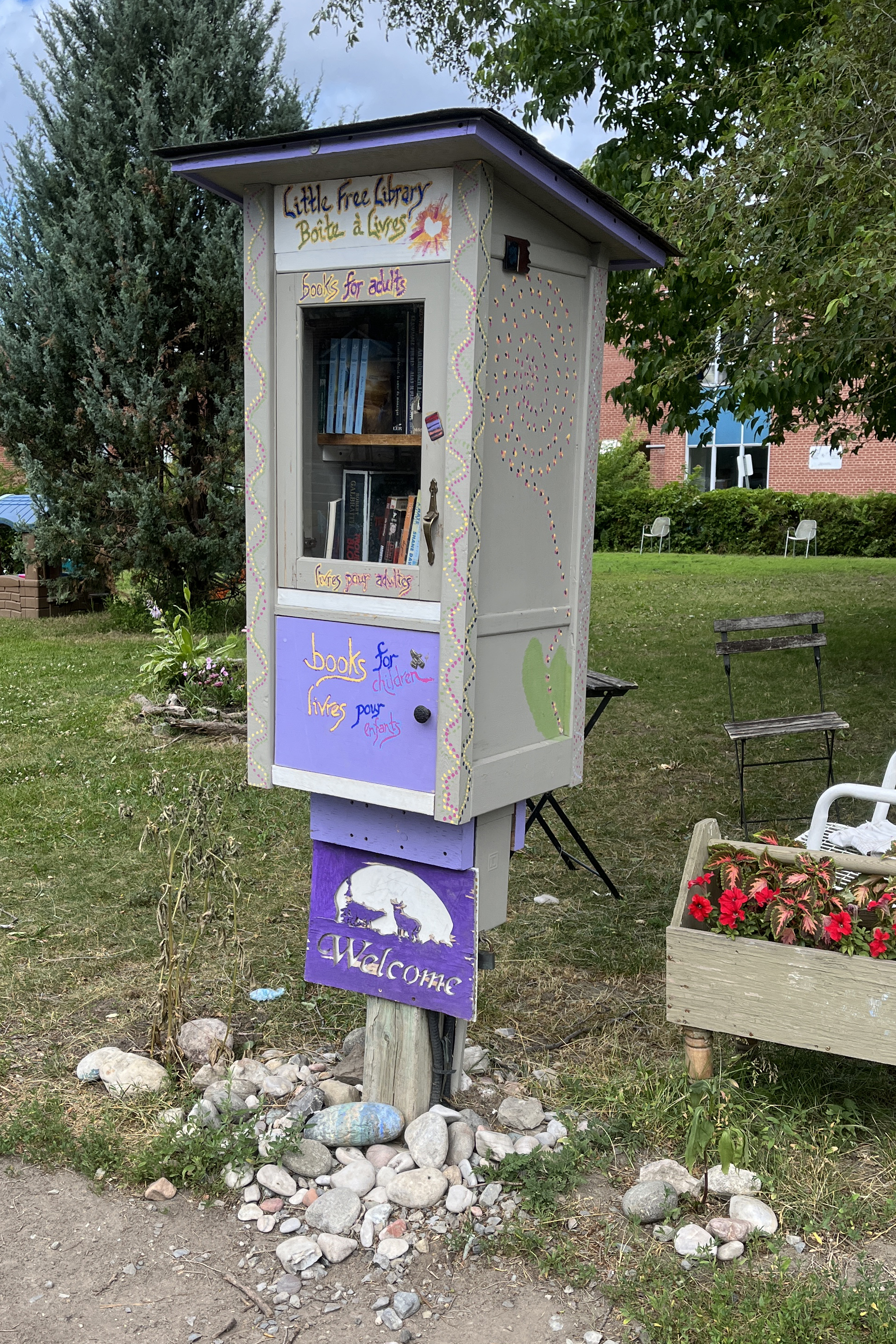
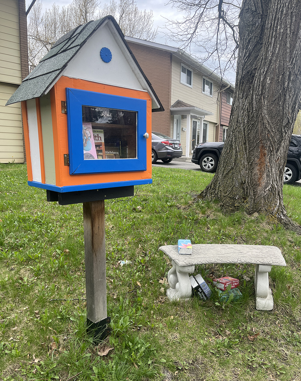
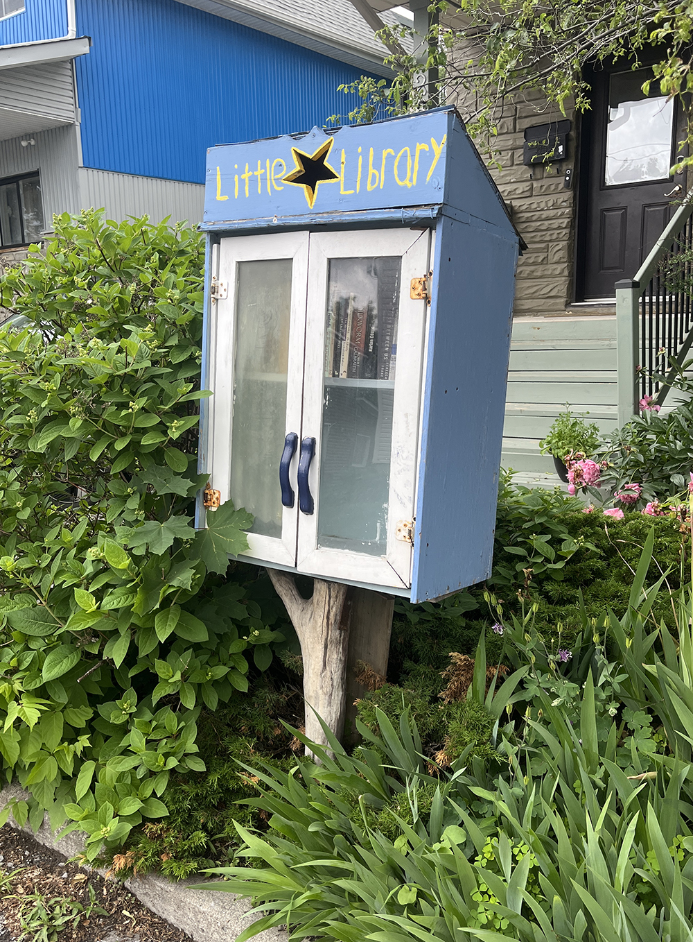
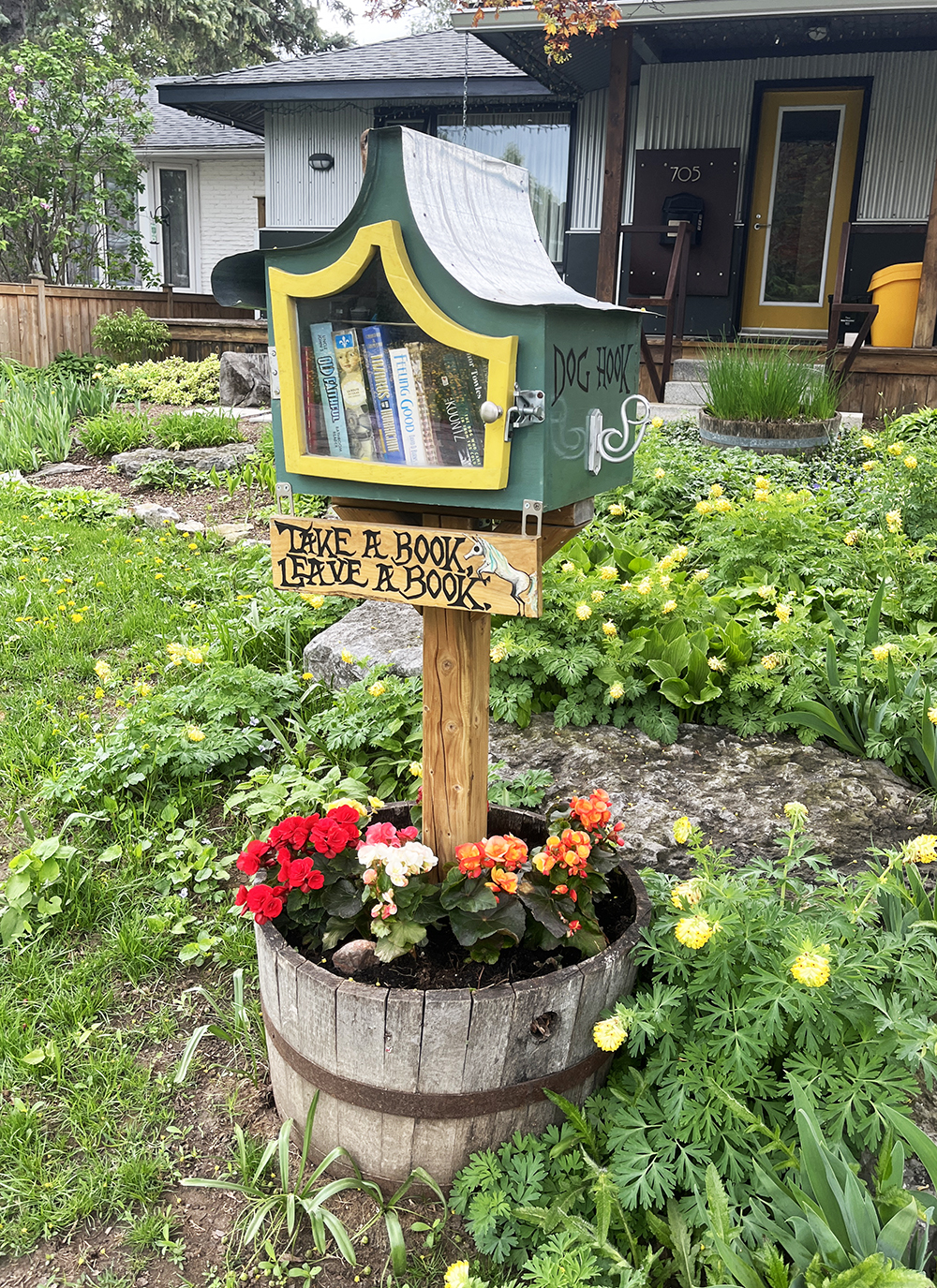
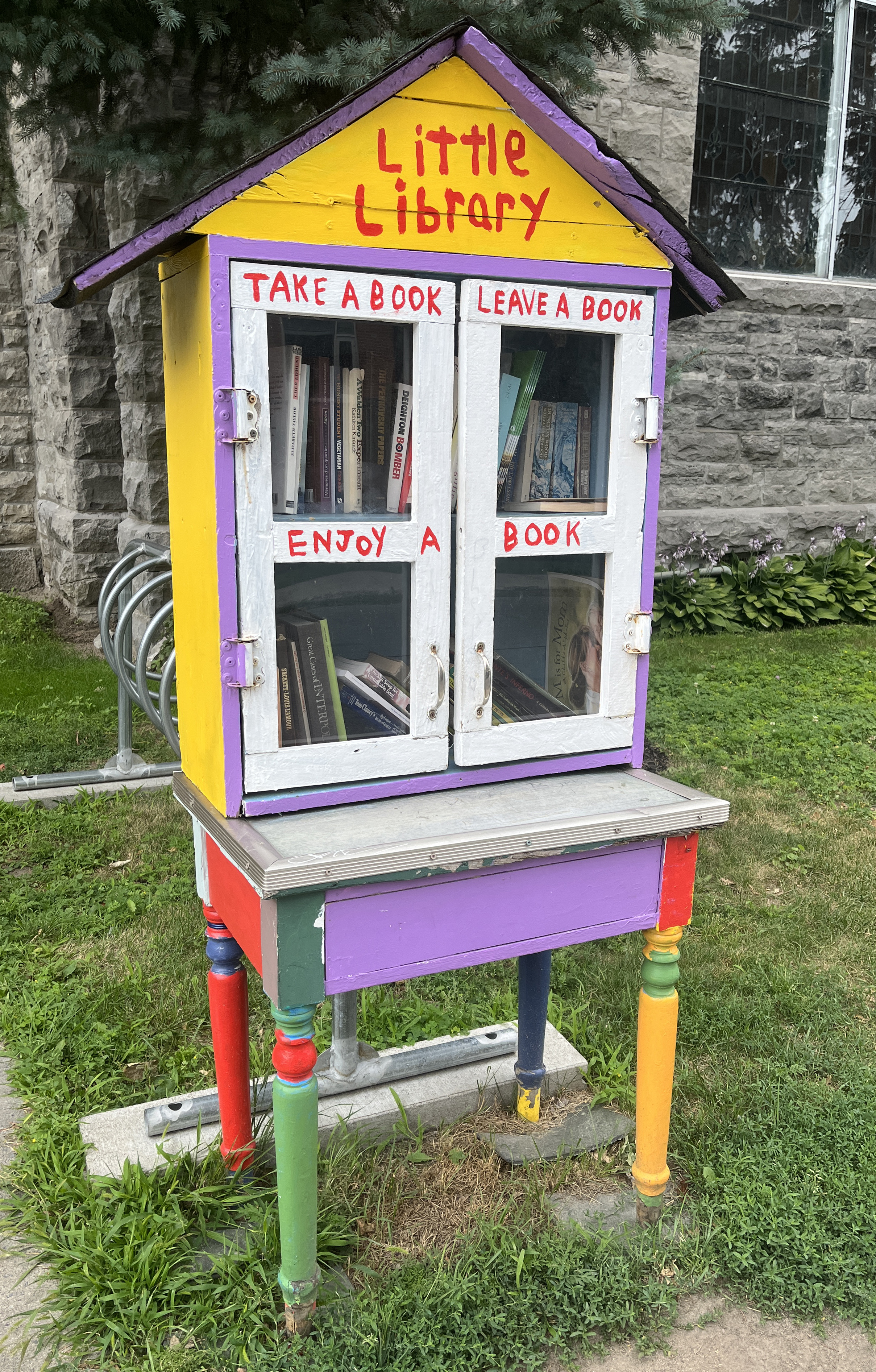
A couple of blocks west at the corner of Beech Street and Bayswater Avenue you can’t miss this colourful Little Free Library/Boîte à livres.
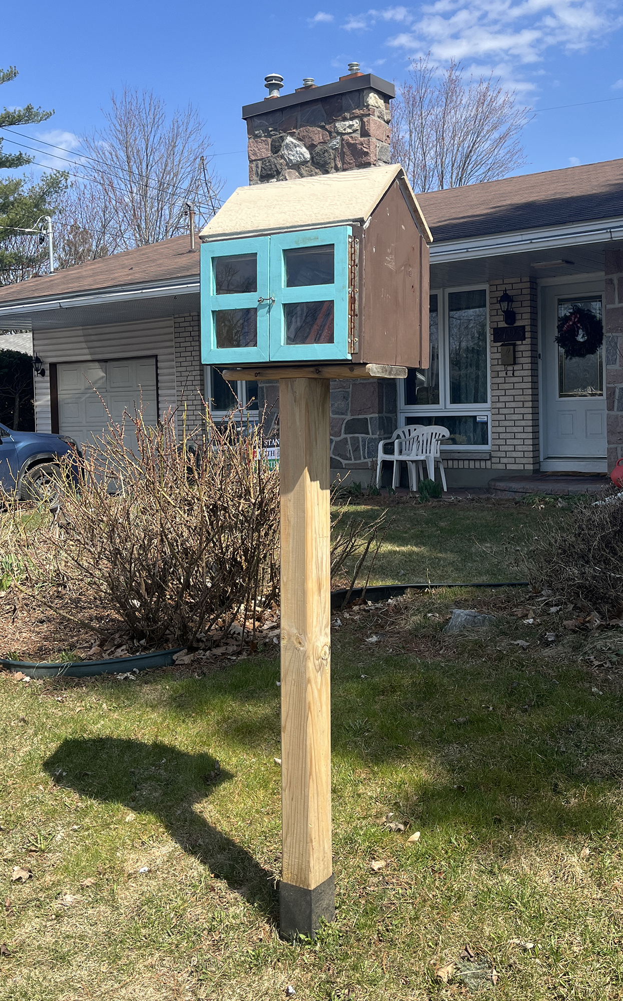
South on Bayswater brings you to this fine box whose design imitates that of the home infront of which it sits.

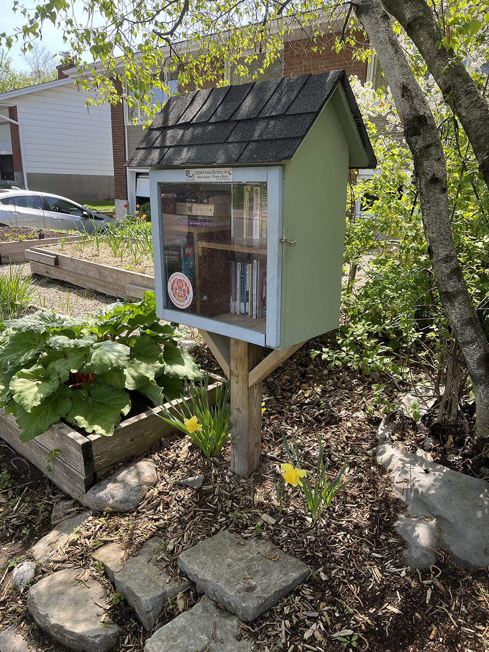
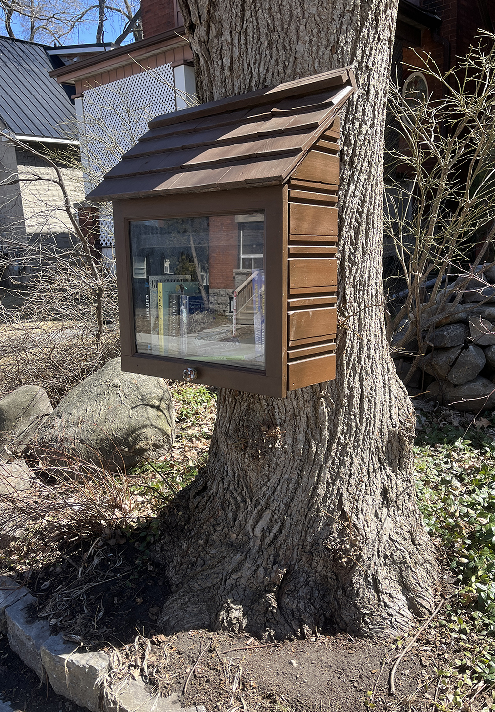
A few blocks up a hill you will find this very well constructed Little Free Library on Gwynne Ave.

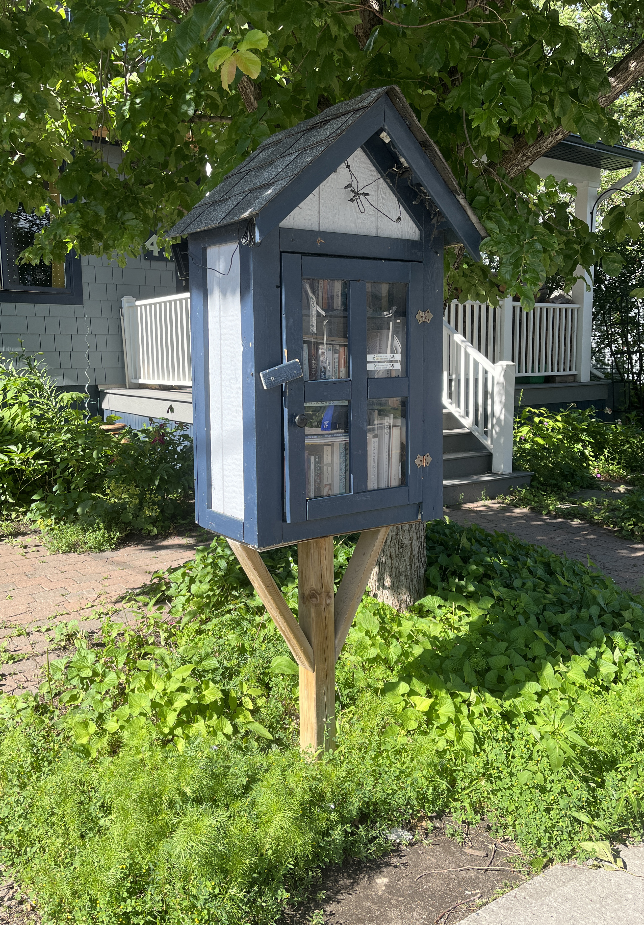
Head over to this clever ‘A-Frame’ box on Melrose.

This beautifully painted box is just a few yards further up Melrose.

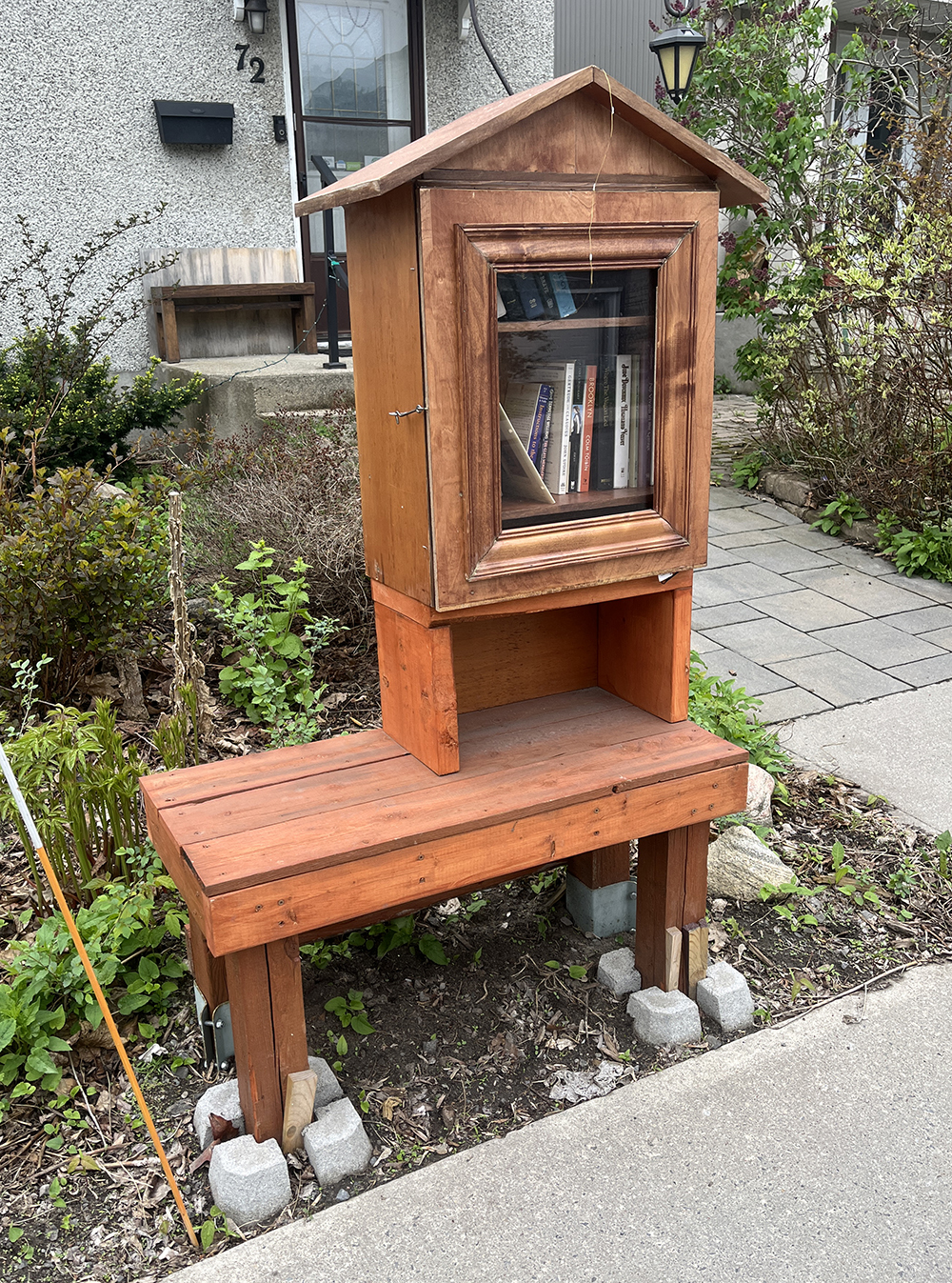
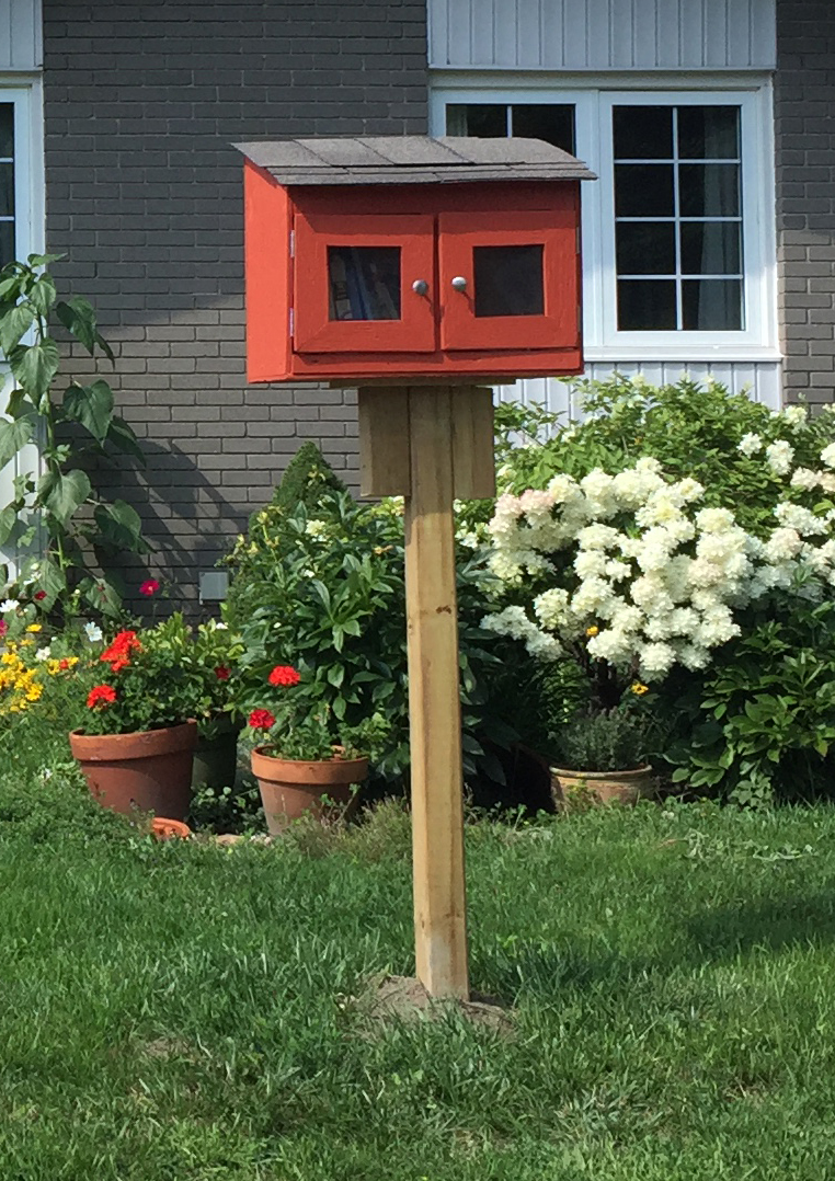
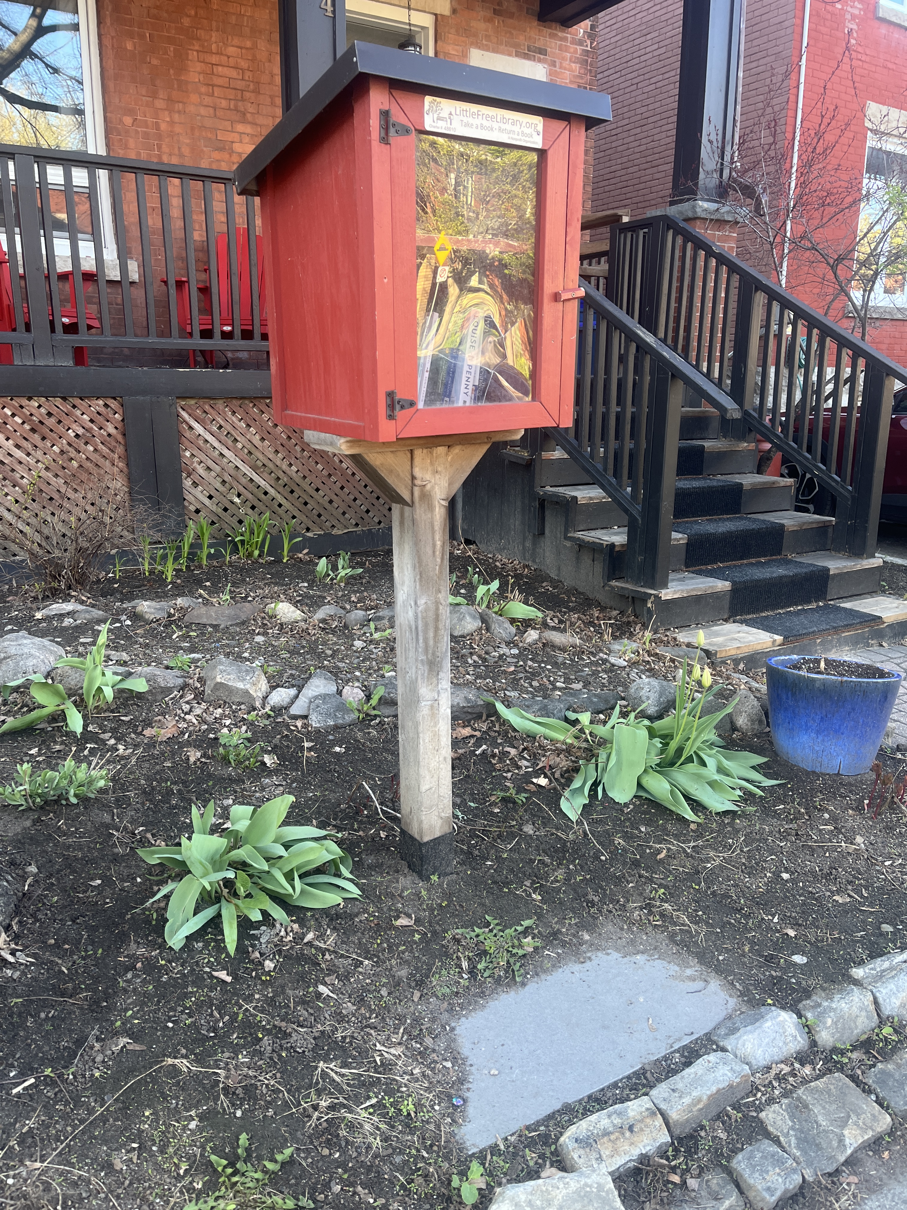
Then it’s over to 94 Spadina Ave. where sits this tall red box, another imitation of it’s host house.

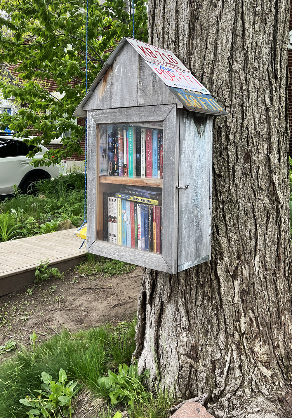
Breeze on over to Breezehill Ave where you will find this fine unit with old car licence plate roof shingles.
Then back to Spadina and a bit north there’s this great collage box.
This generous box on Garland sits comfortably on a wall.
Heading west through Hintonburg brings you to this big yellow one at 50 Ladoucer.

A bit further west in Hintonburg you will find a box near the corner of Oxford & Pinehurst. This one has quite a history. In the Fall of 2016 someone complained about it’s original sprawling bungalow styling to city by-law and the owners were told to take it down by September 16th. Fortunately there was a last minute stay of execution and it got a reprieve. It was then replaced it with a more compact design, and has since gradually grown and evolved into the multi-unit that is there now.
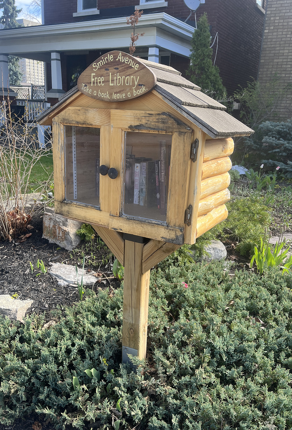
This great box can be found on Smirle Ave.
Further west you will find this nice big box on Gilchrist Ave.

Across the transitway sits this fine tall box on Northwestern Avenue.

A short distance south on Northwestern you will find this box.

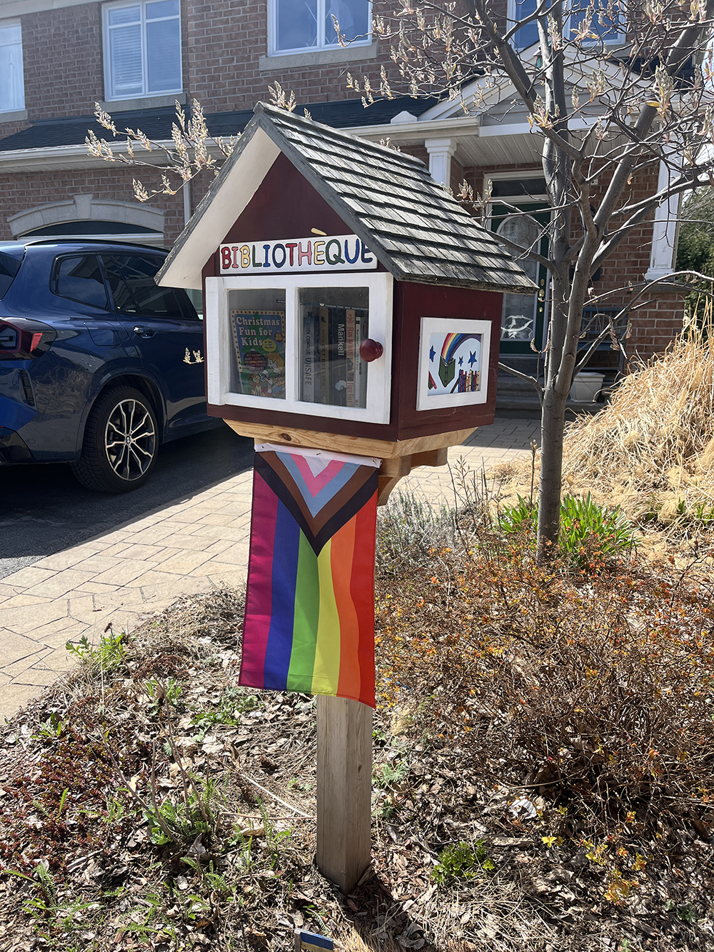
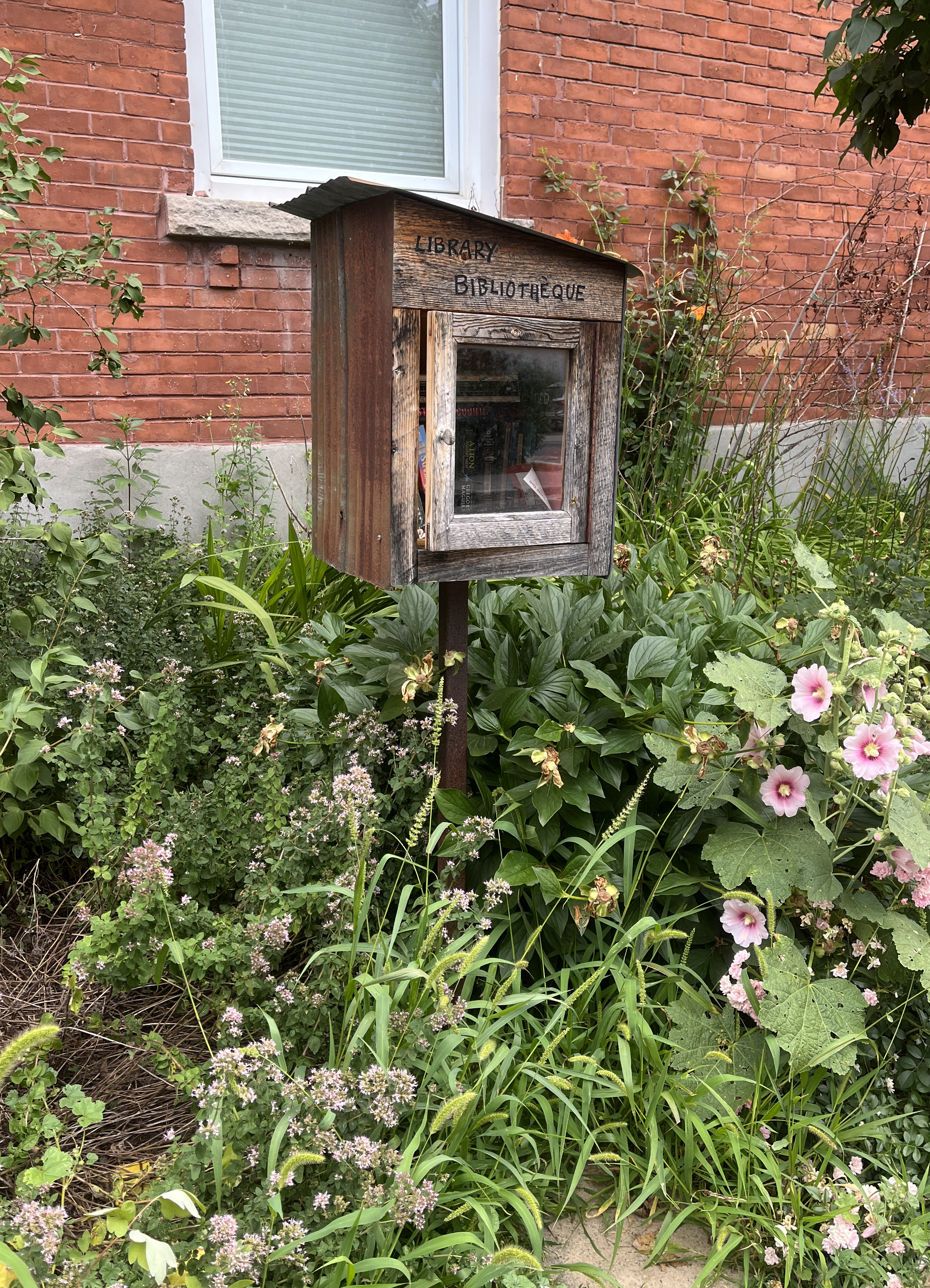
This ‘Bibliothèque’ can be found on W Village Private.
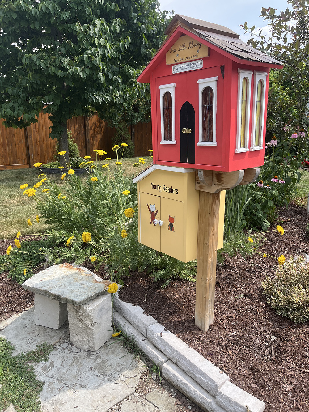
This ‘Children’s books only’ box on Garrison St sits low to the ground making it easier for young’uns to access.

Just south of Wellington on Mayfair there is not one, but TWO boxes safely distanced apart.

A few blocks south brings us to this little library at 436 Mayfair.

Our route goes another couple of blocks east to visit this great Little Library on Kenora St. that has started to lean a bit over time.

A block south on Java St it’s pretty hard to miss this extremely well built monster ‘little’ library.

The next box on Tyndall St. had been taken down for major renovations and it wasn’t clear if it would re-appear, so that summer I sadly had to remove it from the tour. I was so happy to see it back in place in the spring of 2024!
Next it’s under the Queensway over to this colourful box at the edge of St Stephen’s church on Sherwood.

A few blocks south on Hamilton Ave S you will find this fine box.

Right around the corner on Inglewood you will find this friendly offering.

Further west on Ruskin there sits this beautiful cedar shingled little library with a cute little swap box addition. This box has a sad story associated with it: in 2017 someone set fire to it’s original incarnation. Undeterred, the builders got to work and like the legendary Phoenix, this wonderul replacement rose from it’s ashes.

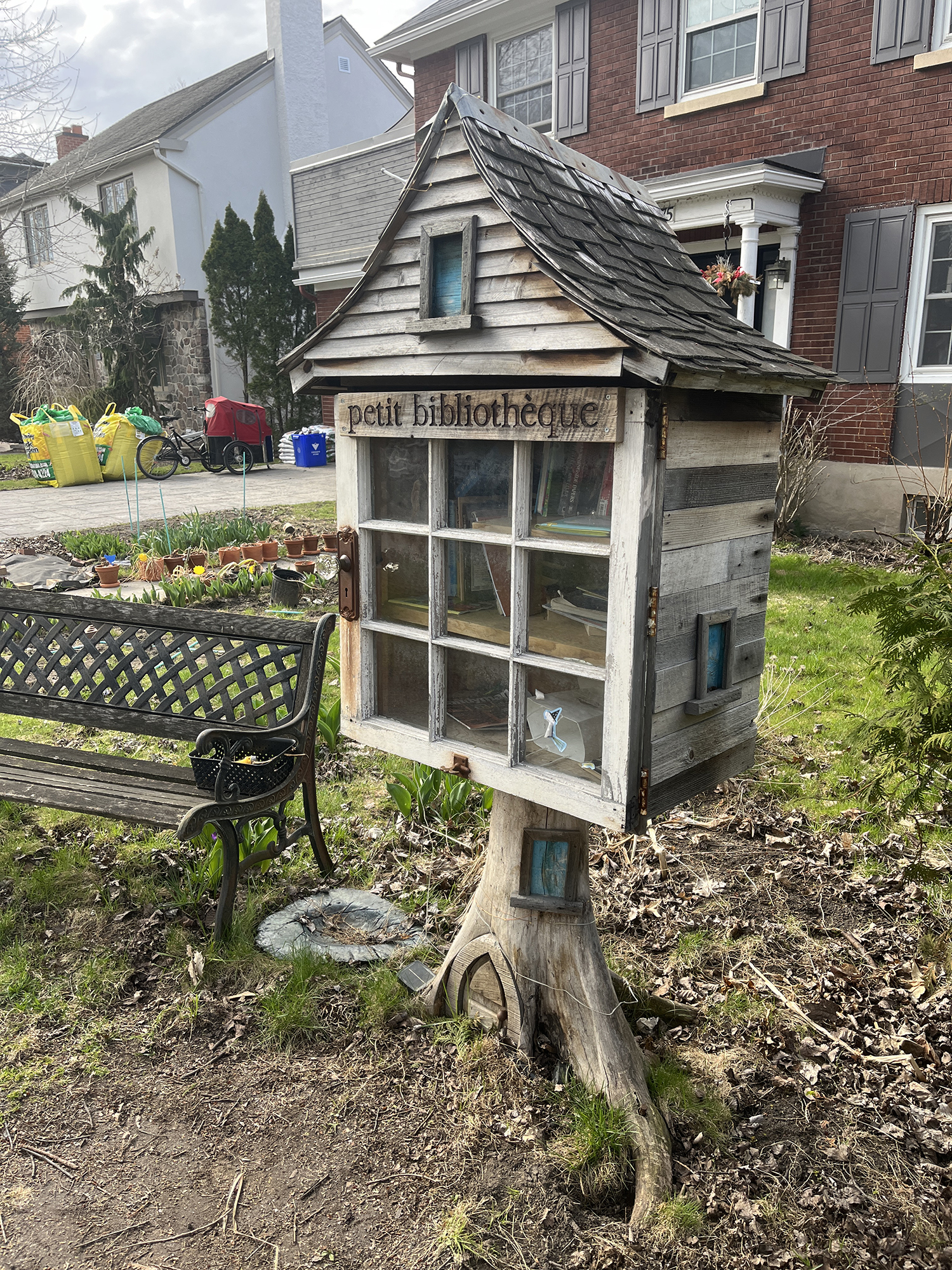
Over to Island Park Drive where this super sweet ‘petit bibliotheque’ has mini toad-stools for little ones to rest upon.
This next box on Clarendon was made and installed by Chris of the Ottawa Outdoor Gear Library.
Then there’s this fine box at the corner of Mayfair and Iona.

Two boxes are at the corner of Brennan and Iona, one dedicated to kids.

This next colourful Little Library is on Tweedsmuir Avenue.
Over to this very beautifuly painted box on Evered Ave.
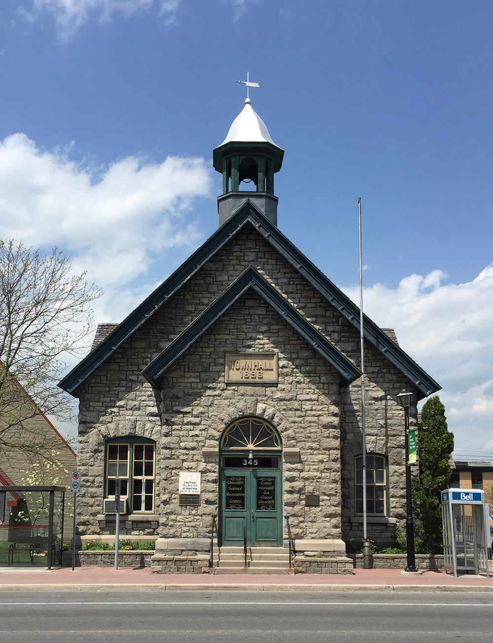
This Little Library can be found on Churchill Ave N.
A side trip north first takes you to 571 Roosevelt to visit this fine box.
This box on Melbourne is a very nice design. A painted landcape on the front is intersected by the round window.

Over to this one at Edison & Kenwood where locals can grab their mail AND a book! There was also a couple of folding chairs and table on my last visit.
Further north brings us to this little library on Atlantis Ave.
Back on our original route, this multi-coloured big box is at 417 Greenwood.

The next one has a corrugated metal roof! Very clever.

A vintage window with mullions serves as the front of this box on Rowanwood Ave making it easier to peruse the selection before without exposing the books to the elements. Very handy during inclement weather!

This box on Knightsbridge Rd was once red and now it’s white.

This big red row boat shaped box can be found on Deschênes St.

Next one is in New Orchard Park.
You can find this book box on Midway Ave near Ancaster. Based on similarites in design with the last box I have a sneaking suspicion they came from the same source.
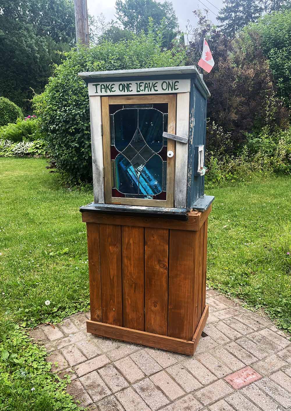
A slight detour south to the Glabar Park neighbourhood brings you to this double-duty Little Library on Lenester Avenue. The upper box has stained glass windows!
This yellow box can be found on Hartleigh Ave.
Down Woodland Avenue brings you to this fine box.

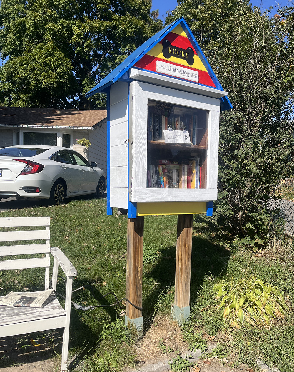
The route branches off south-westerly to visit the next three boxes. First stop is at the corner of Ryan and Southwood Drive with a bench to relax and peruse the offerings! This box is dedicated to Rocky, who I think was a favorite neighbourhood dog.
The second is this leaning box at 30 Harrison St that uses the JUTIS frosted cabinet door from Ikea!
The third is at 32 Abingdon Dr with a traditional styled hinged door.

Heading back east brings us to this swap box at the corner of Sherman and Navaho Drive which has a little path leading up from the intersection.

Next box is on Ainsley Drive with a very clever log base and colourful siding.

This red box can be found on Marygrove Circle.

Just around the corner on Terrebonne Drive there is this colourful unit with a concrete bench and bricks painted to look like books. Very clever.
Here’s a wide generous box at the corner of Bonnie and Greenlawn
This playful box is located a bit further north at the corner of McBride and Woodward.

This fine box on Laperriere isn’t going anywhere soon, with it’s solid specially poured concrete base!

This sweet box is a bit further east along Laperriere.

The Alexander Community Centre has this fine big box on a stable wooden base.

This fun box is suspended from a tree infront of 816 Fisher Ave.

A few blocks over on Emperor St you will be able peruse this box’s offerings.
Next we go over to 1237 Kingston Ave and visit this relatively nondescript yet effective Little Library.
Over to 28 Sutton Place. This box is special as it was built and installed by one of Ottawa’s most passionate cycling advocates, Hans On Bike.

There’s a nice big box outside St Mark’s Anglican church on Fisher.

The next most excellent box is on Bowhill Avenue.

Head on south to Tennyson St to visit this double box. Note how it’s colours match the home.

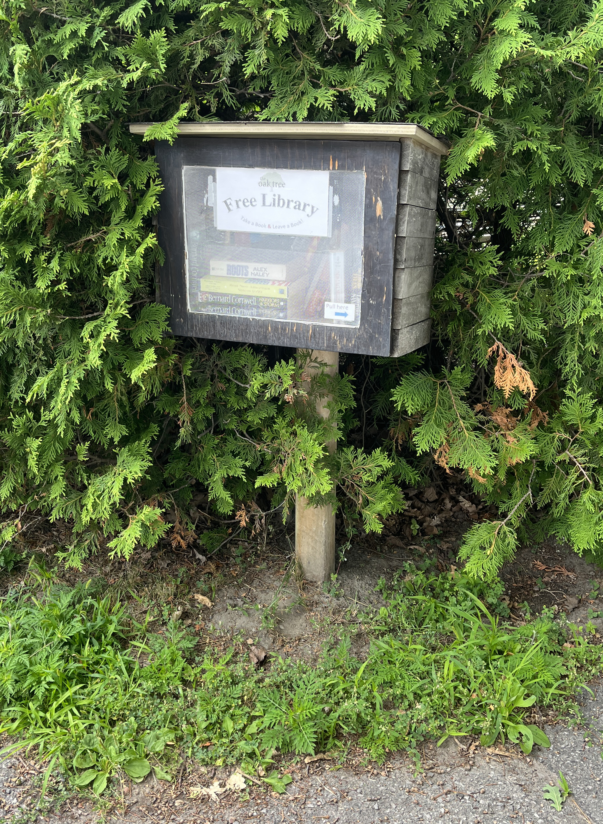
Next stop is over the river on Uplands Drive where you will find this great box called the Oak Tree Free Library.
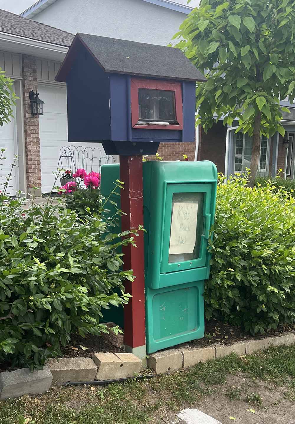
Over to Cahill St. The green box to the right is labelled ‘Kids Book Nook’.
You will find this ‘Kids Books Only’ box along Owl Drive, which must get alot of visits as it is right beside Bayhview Public School.

To get to the next box our route unfortunately follows McCarthy Road, which cars like to speed along. What used to be a paved shoulder usable as a bike path at least through the section through the hydro-wires, has now been filled with concrete meridians for what must only be to discourage bikes – completely absurd! So, ride on the sidewalk if you must to be safe. Once across Walkley Road you are good.
At the corner of Colman St & Kincaid Ct sits this elaborate installation. Inside the glass walls one can see a doll house scaled interior. There is a small accessible flap under it giving access to envelopes with an image of a painted flower on the outside. Not sure if one is supposed to take the envelope so I didn’t, but I’ll give it the benefit of doubt and assume so, allowing it to meet the requrements of this post. If anyone knows more about the story of this box please let me know.

Next, over to this great box further down Colman St.
Next is this tall model on Hobson Road.
Next check out this fine unit on Springland Drive.
Over to this wide unit on Upper Otterson Pla. It has two small solar powered units that I’m guessing are lights.

This one on Revelstoke Drive has a lovely stained glass door.
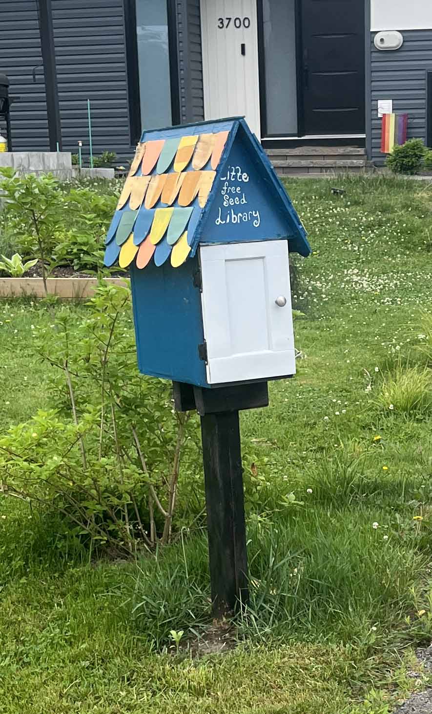
A short distance down Revelstoke you will find this fine Little Free Seed Library.
The next few boxes to discover are in the Glebe. This one’s on Crescent Heights, just west of Bronson.

This box is on Fifth Avenue.

Over on Lyon St there’s this playful box infront the Montessori school.
Right around the corner on First Ave you will find this glorious colourful box infront of the Glebe-St James United Church.

This next box over on Thornton has great vertical proportions!

Half way down the block on the opposite side of Thornton you will discover this great Book Sharing Zone.

A bit further south on Queen Elizabeth Place you will find this Dr Zeuss inspired little library.

On Findlay you’ll find this fine tall box.

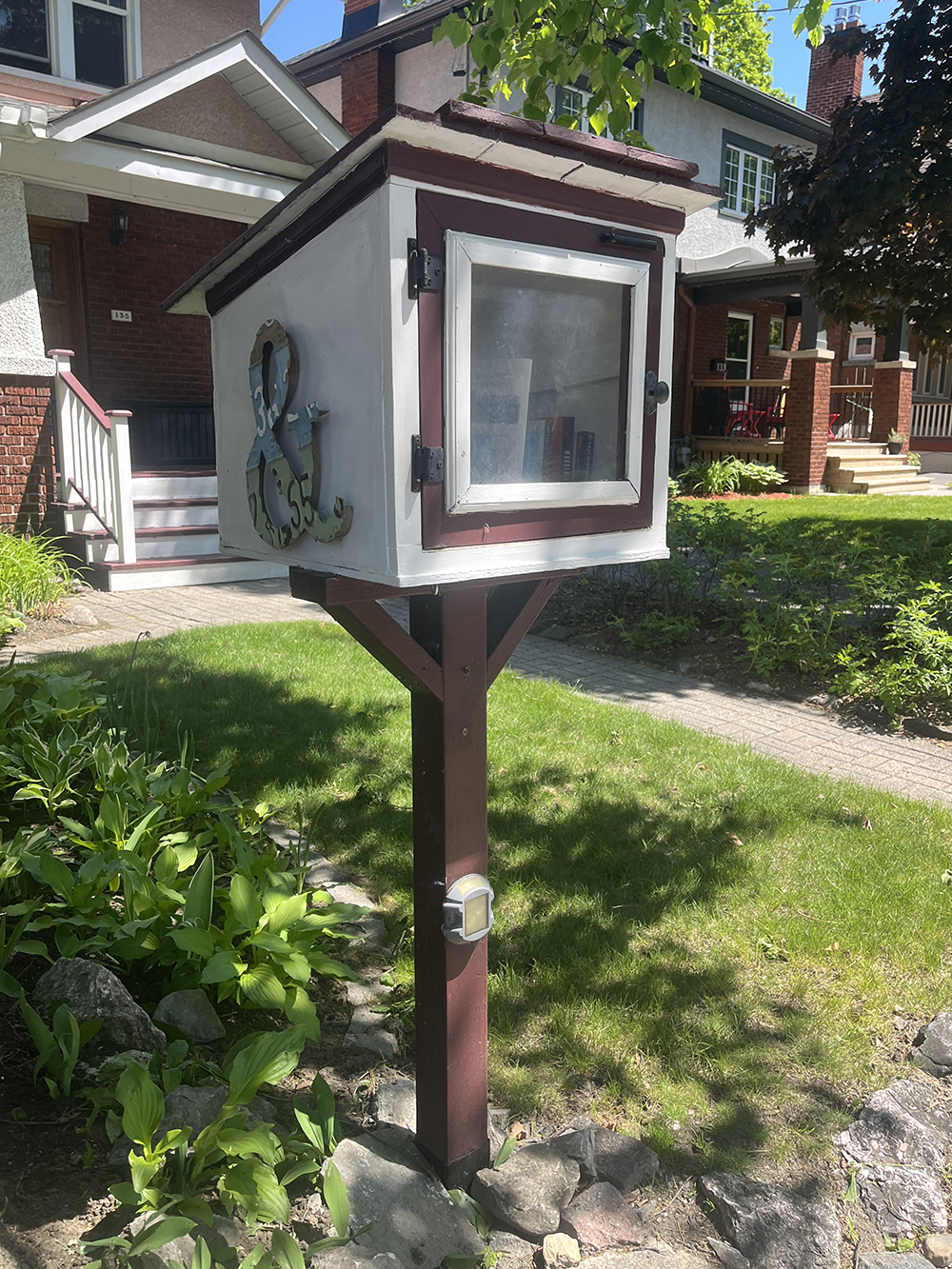
A bit further west there’s this ampersand box.
Over on Muriel St this crimson little box can be found.
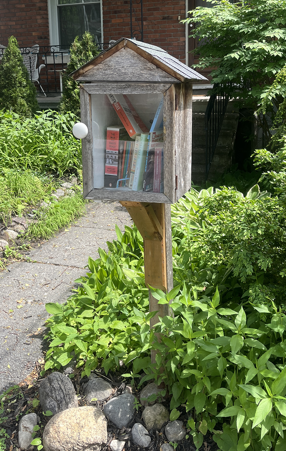
Over the Canal in Old Ottawa South on Hopewell Ave we find this well-weathered box.
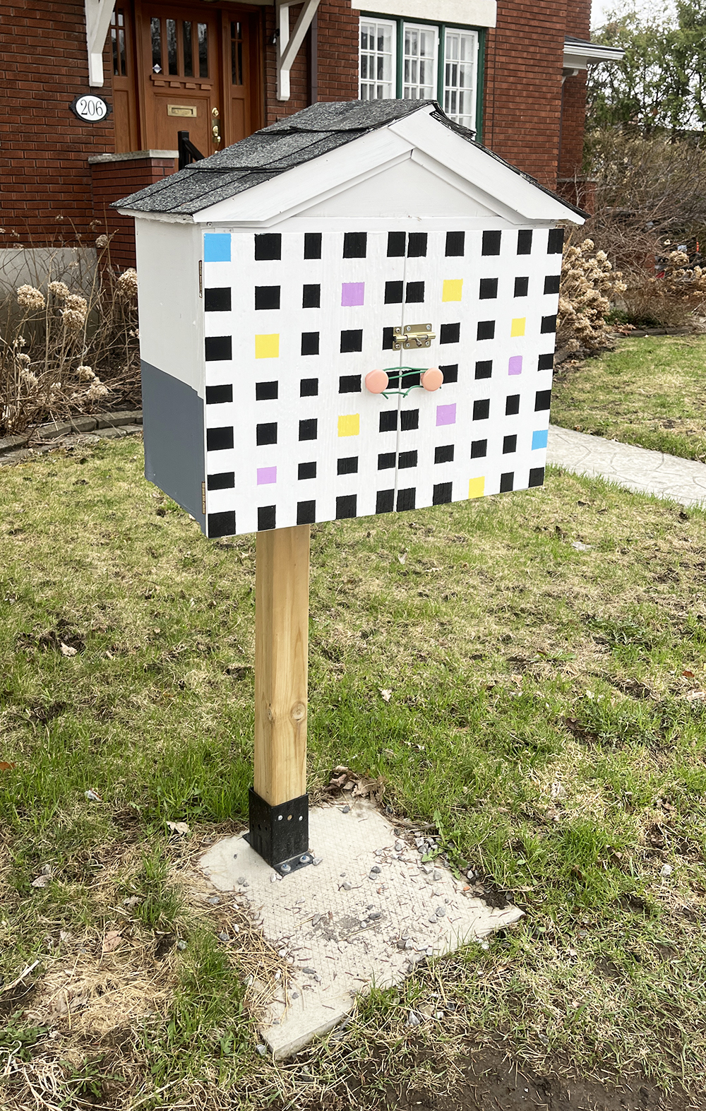
On Belmont Ave we get to our next Mondrian inspired box .
Next, over to this tree mounted box on Ossignton Avenue.
Two more boxes can be found a block west on Ossington, including this colourful one!

A bit further down Ossington you will find Sylvia’s Little Free Library. This double-decker-dog-friendly unit has a box for kids on the lower half that is easily reachable.

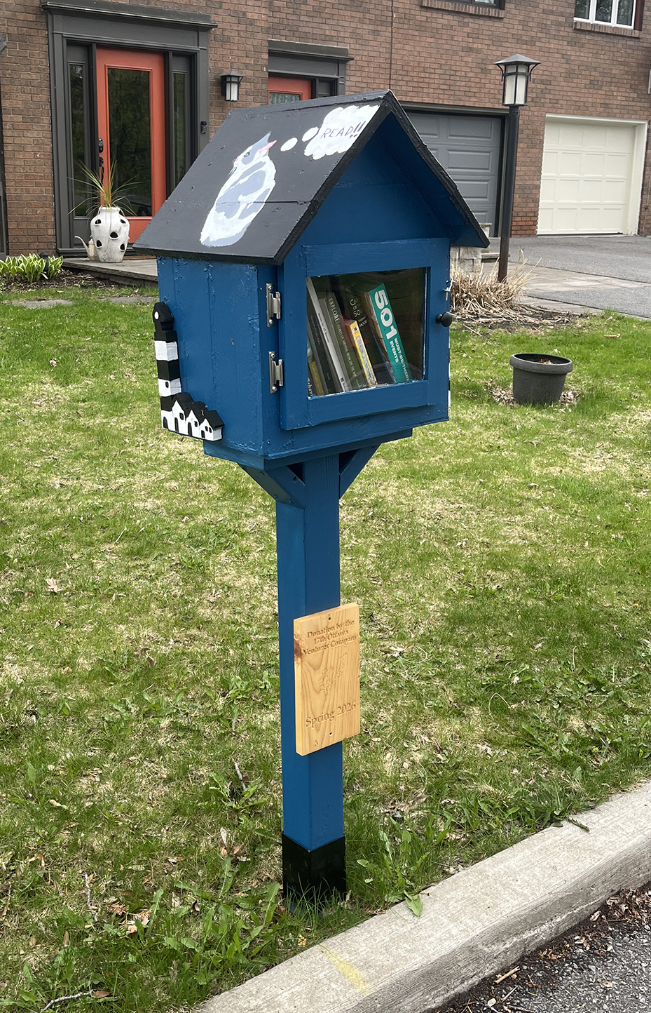
At the end of Osborne St there’s this great blue book box with a cat encouraging us to READ!!
Next is a short side loop over the Rideau River to visit this robust Little Library on Pleasant Park Road. The most convenenient access to Alta Vista along this route is along the awful narrow Bank Street bridge over the Rideau River. Walking your bike along the sidewalk bridge is usually the safest option.

A block south on Mountbatten Ave sits this very cool & colourful box.

Over on Blossom Drive you will find this very welcoming box.

Our next stop is at this lovely box near the corner of Crocus and Kilborn Avenues.
On Marshall Court you will find this robust and well constructed box. This one has an unfortunate history of having been repeatedly vandalized before eventually settling in to it’s present location.
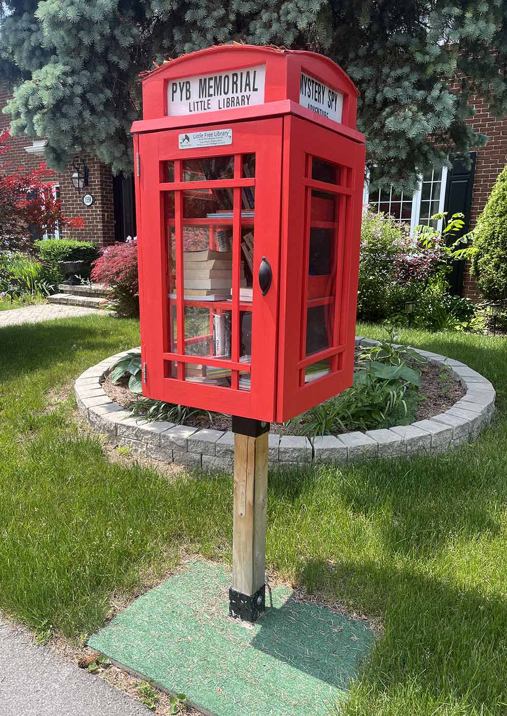
Over on Featherstone Drive you will find two amazing boxes, like this PYB Memorial Little Library made to resemble a British phone booth.
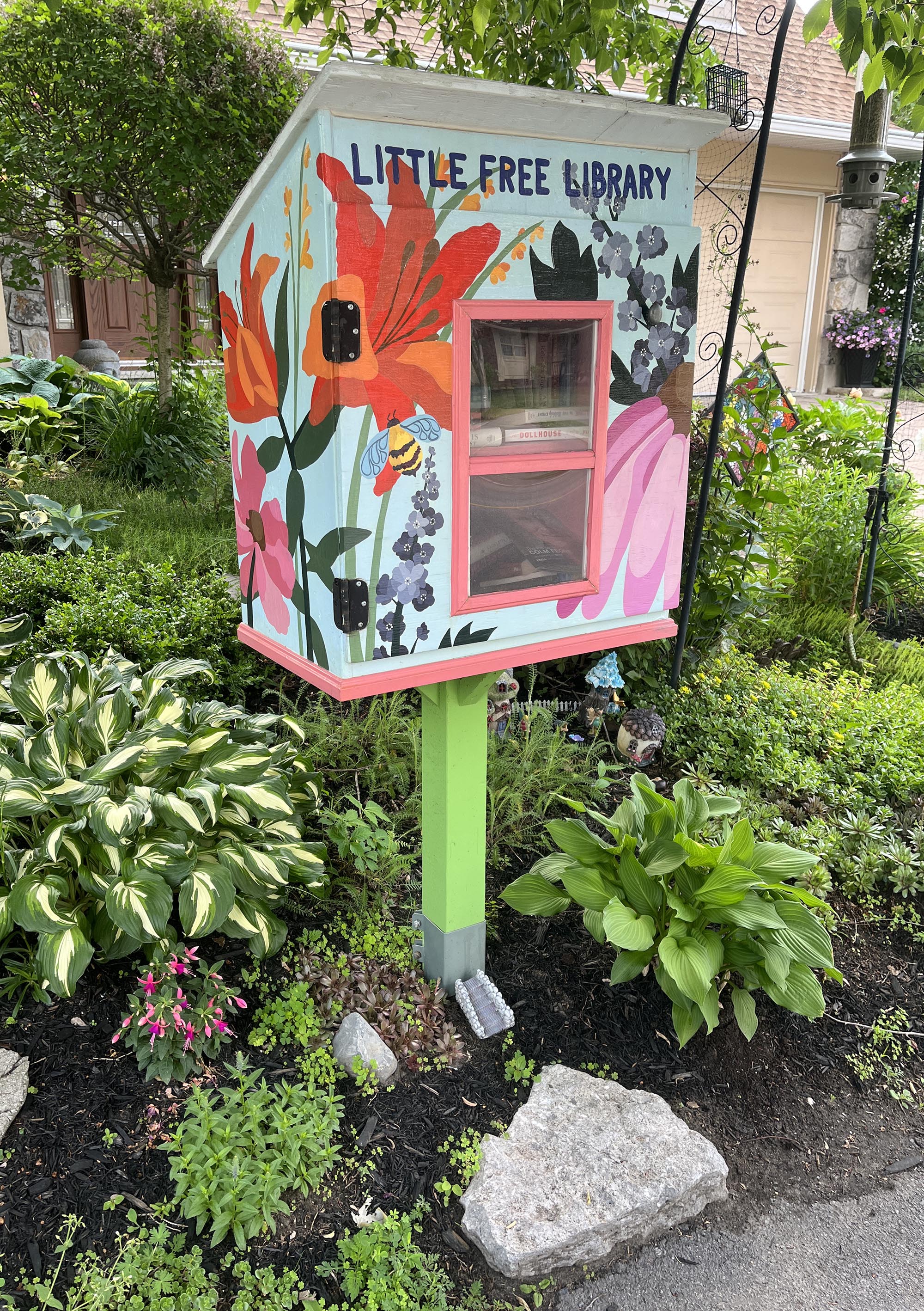
A bit further south on Featherstone Drive you will see this beautiful box painted by Emilie Darlington.
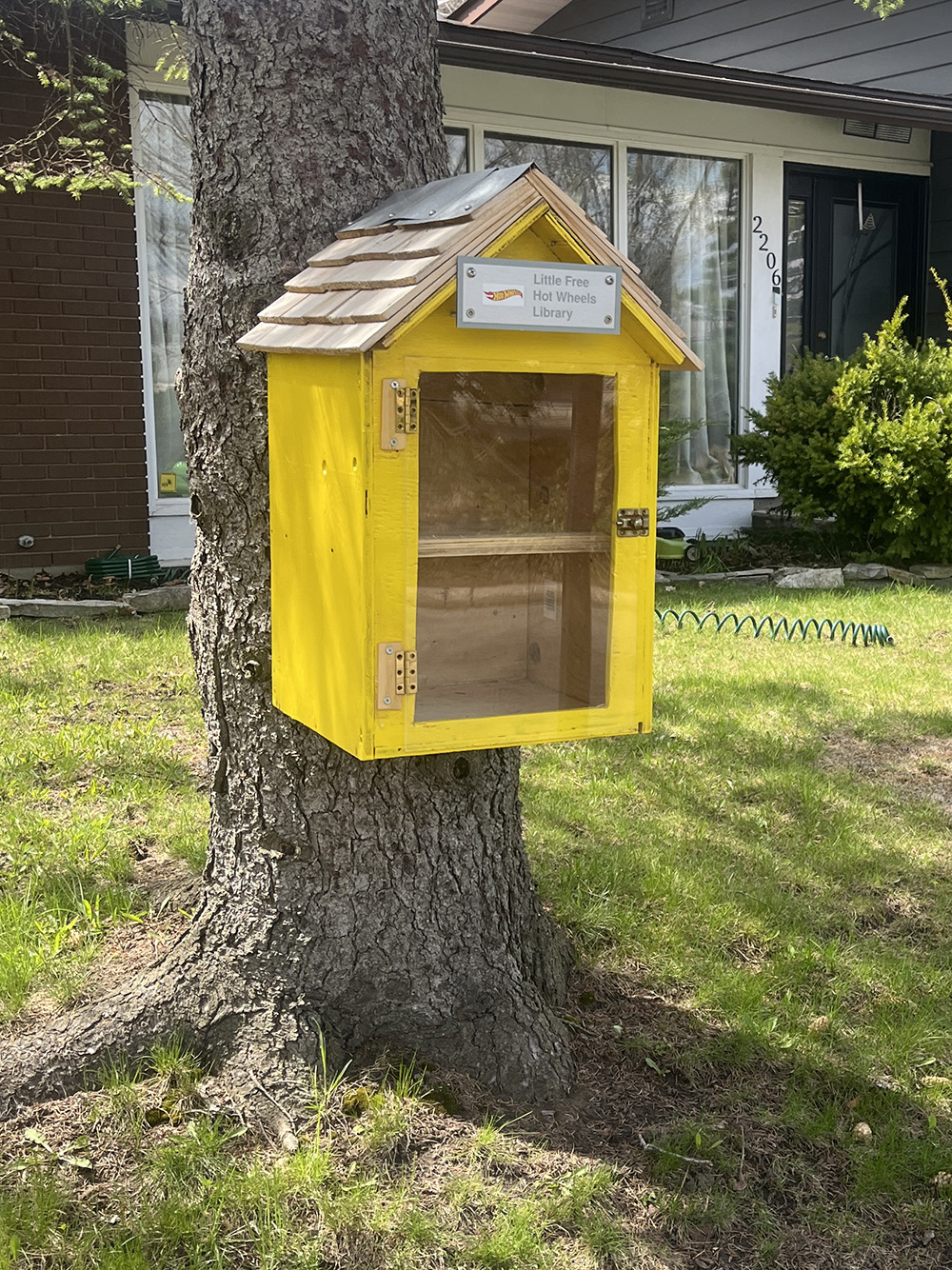
At 2206 Aster St there is a Little Free Hot Wheels box! A very fun spin on the swap box concept.
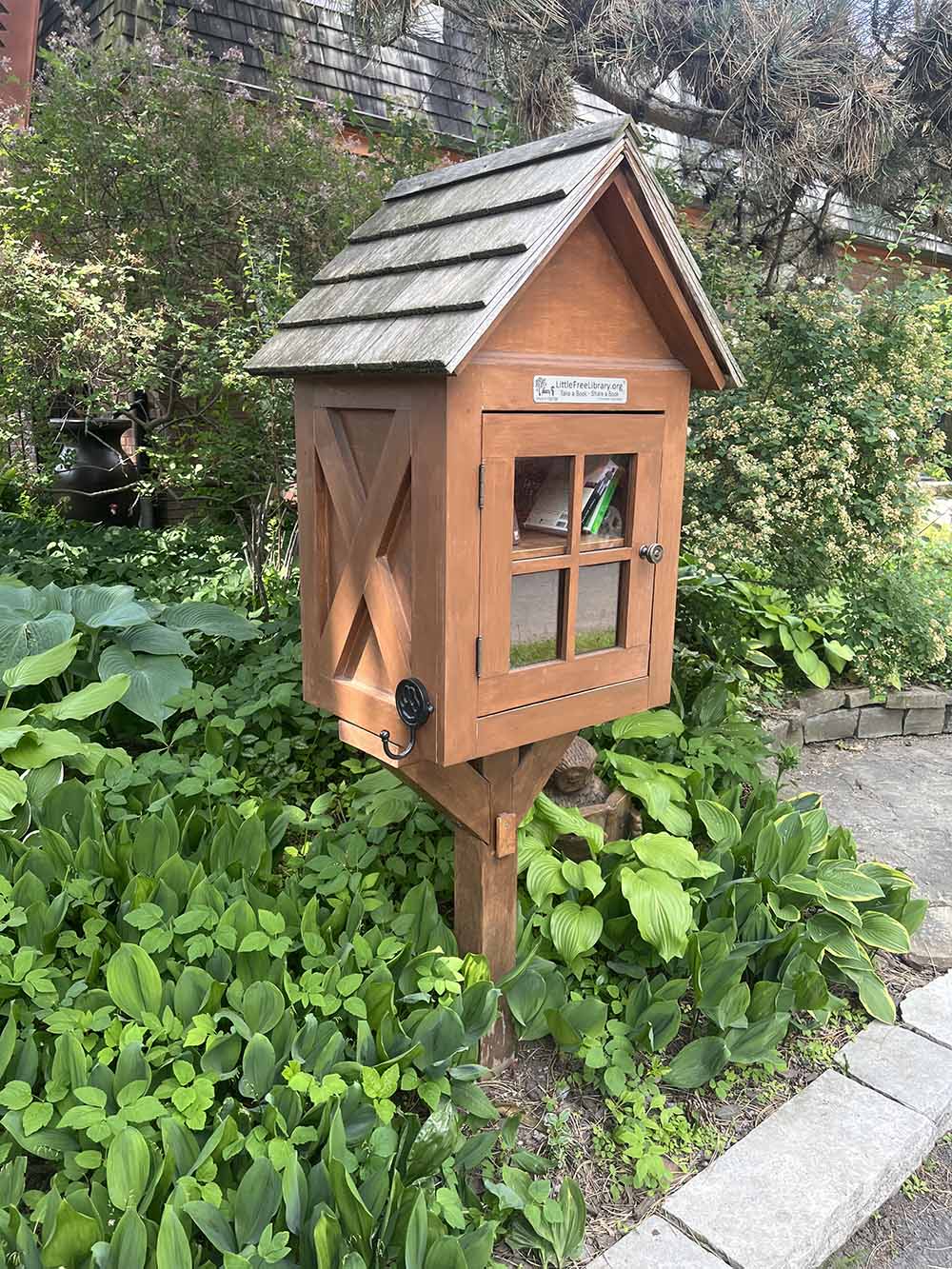
A bit further north on Delmar there is this fine brown box.
This cute little box is further south on Delmar Drive.
Further east you will find this double-decker unit!

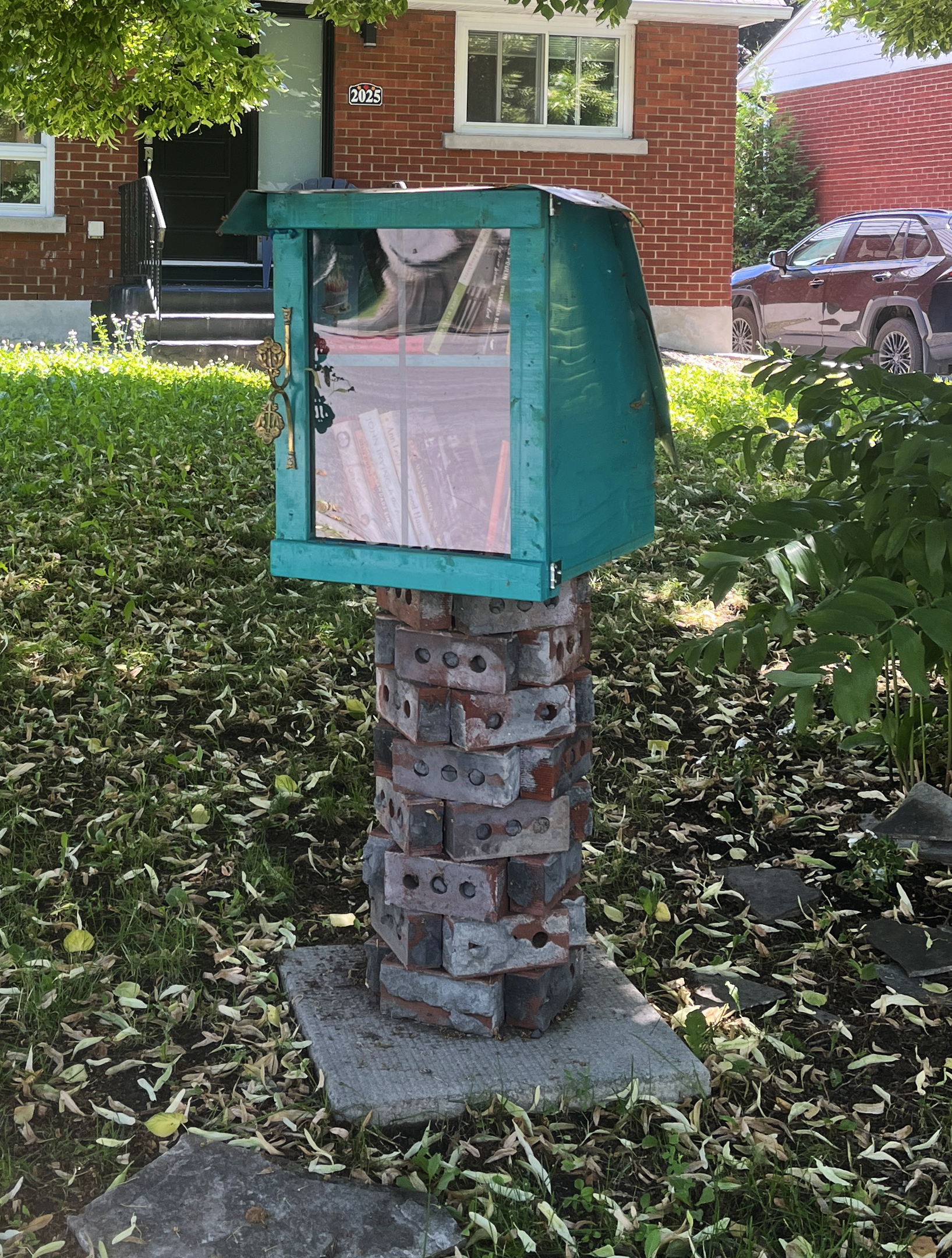
This box on Arch St has a unique stacked brick base and a funky handle.
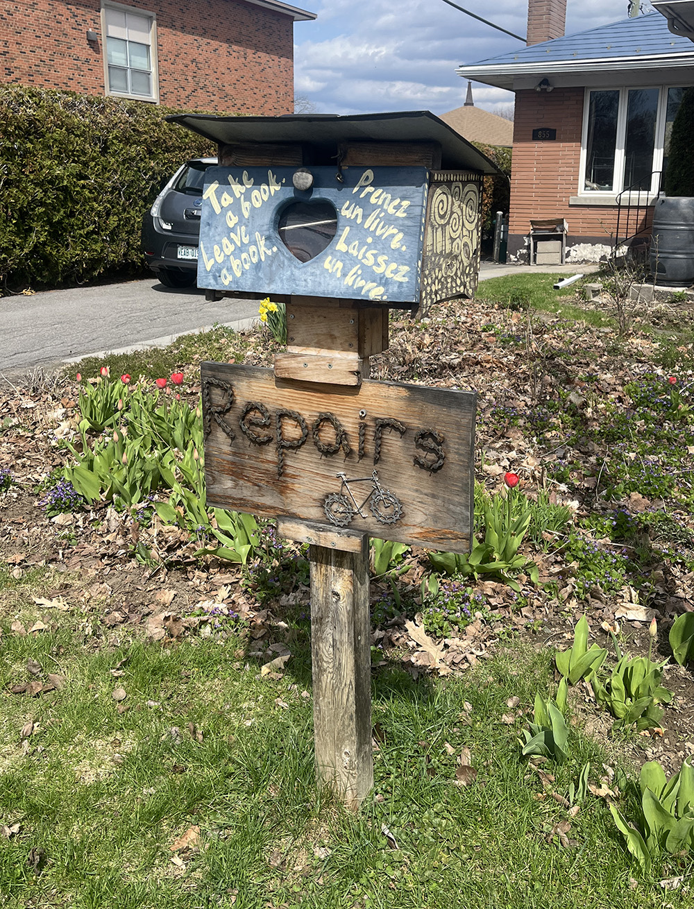
At 855 Quinlan Rd you will find this great box with a sign that suggests the person maintaining it also repairs bikes! Bonus.
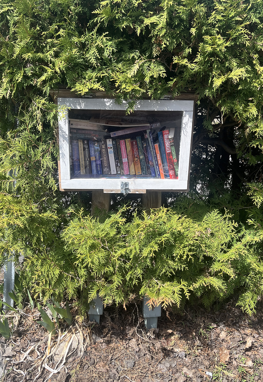
This box at 1647 Pullen Ave has gradually been engulfed by the cedar hedge behind it.
This proud box is on Acton Street.

Continuing on our loop through Alta Vista brings us to this cleverly designed mobile unit on Knox Crescent.

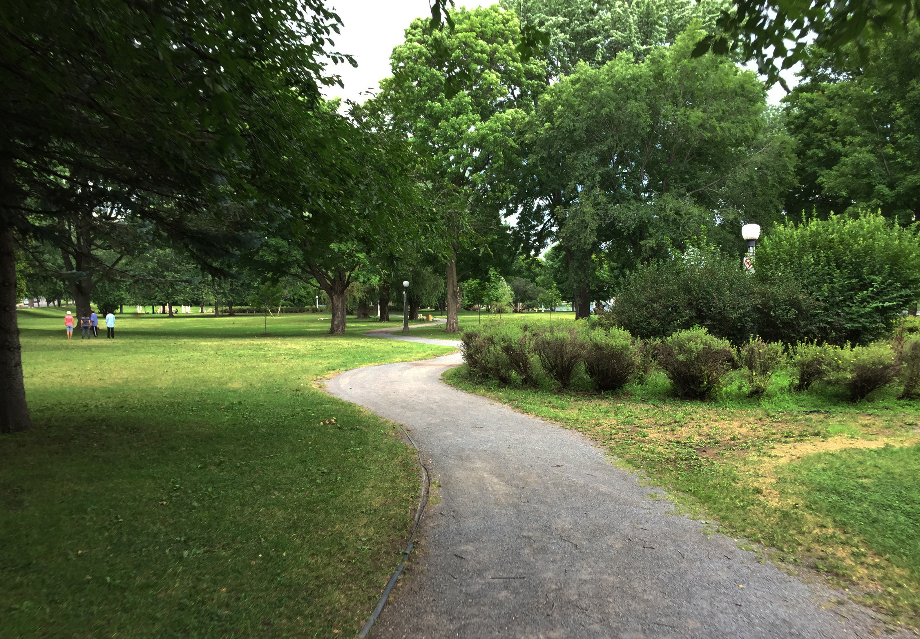
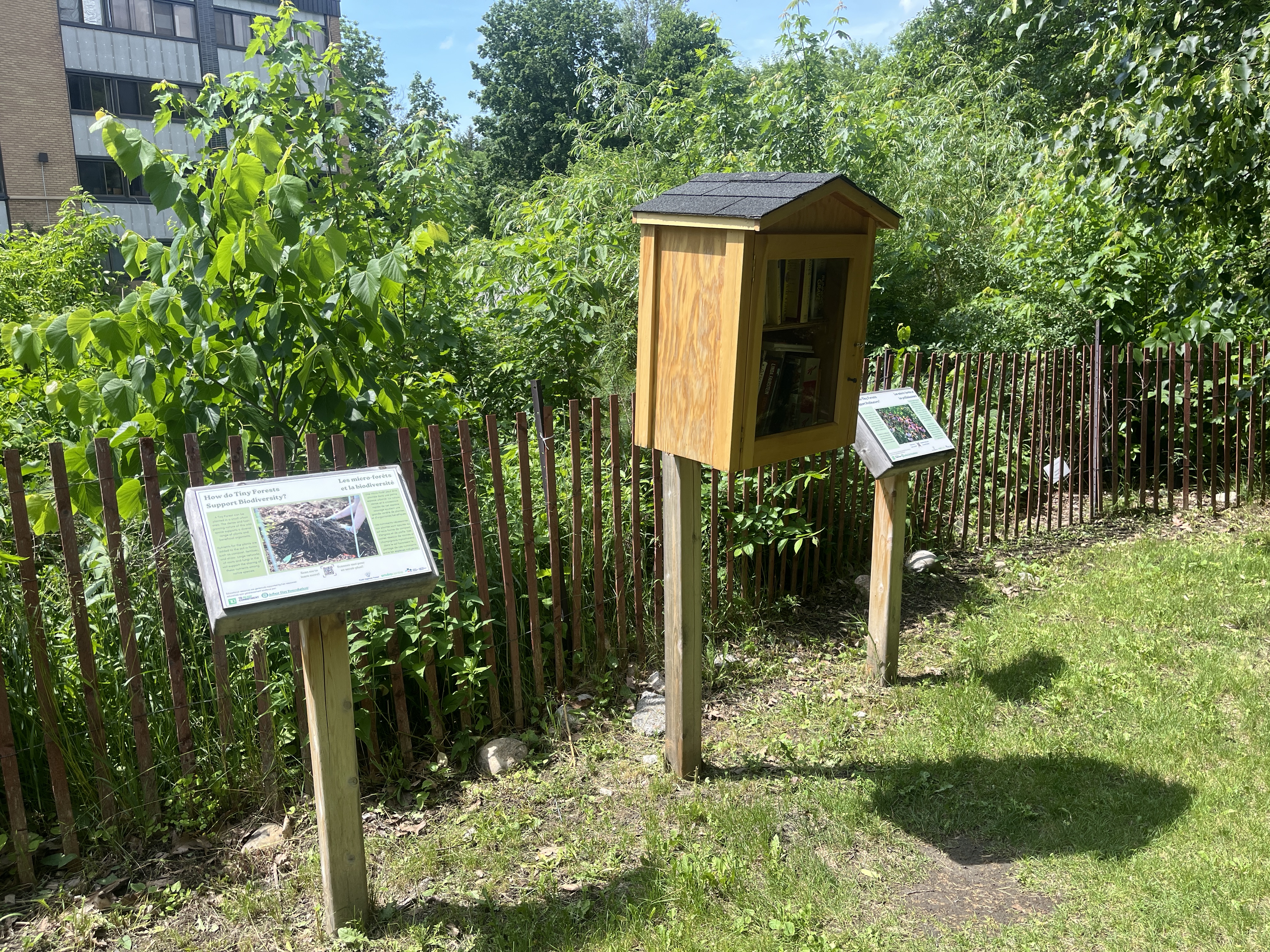
Head back on over to the north shore of the Rideau River and follow the Rideau River Trail along the river. Just off the path you will find this big box flanked by 2 interpretive panels explaining the importance of Tiny Forests.
Further down river on Belmont Drive you will find this super sweet box.

On Riverdale Ave you will find this delicately painted two level unit.

Walk your bike one block north to our next stop along Riverdale.
A couple of blocks over you will see this great little library at 146 Sunnyside Avenue. Big footprint shaped concrete pavers invite passersby to peruse the shelves.

This nicely crafted box is located a bit further north on Glencairn Avenue.
Our next great box can be found just around the corner on Riverdale Ave. This one also has a generous concrete bench infront of it.

A bit north east on Belgrave Road lives 2-d00r box.

Our next box on Clegg St imitates the house infront of which it stands. It even has a piece of the stone panelling left over from the contruction of the house incorporated into the base of the box.

Close by on Bower Street we find another fine box.
Nary a block over is this great box on Mutchmor Road.

Close by on Merritt Ave you will find this great little library.

Up on Drummen St you will find this beauty.

Just a few meters down Drummond Street there sits this box.
Just a couple of blocks north you can find this box on Glanora Street.
On Simcoe St sits this wide & generous box.

On Evelyn Ave you will find this glorious tower of a library.

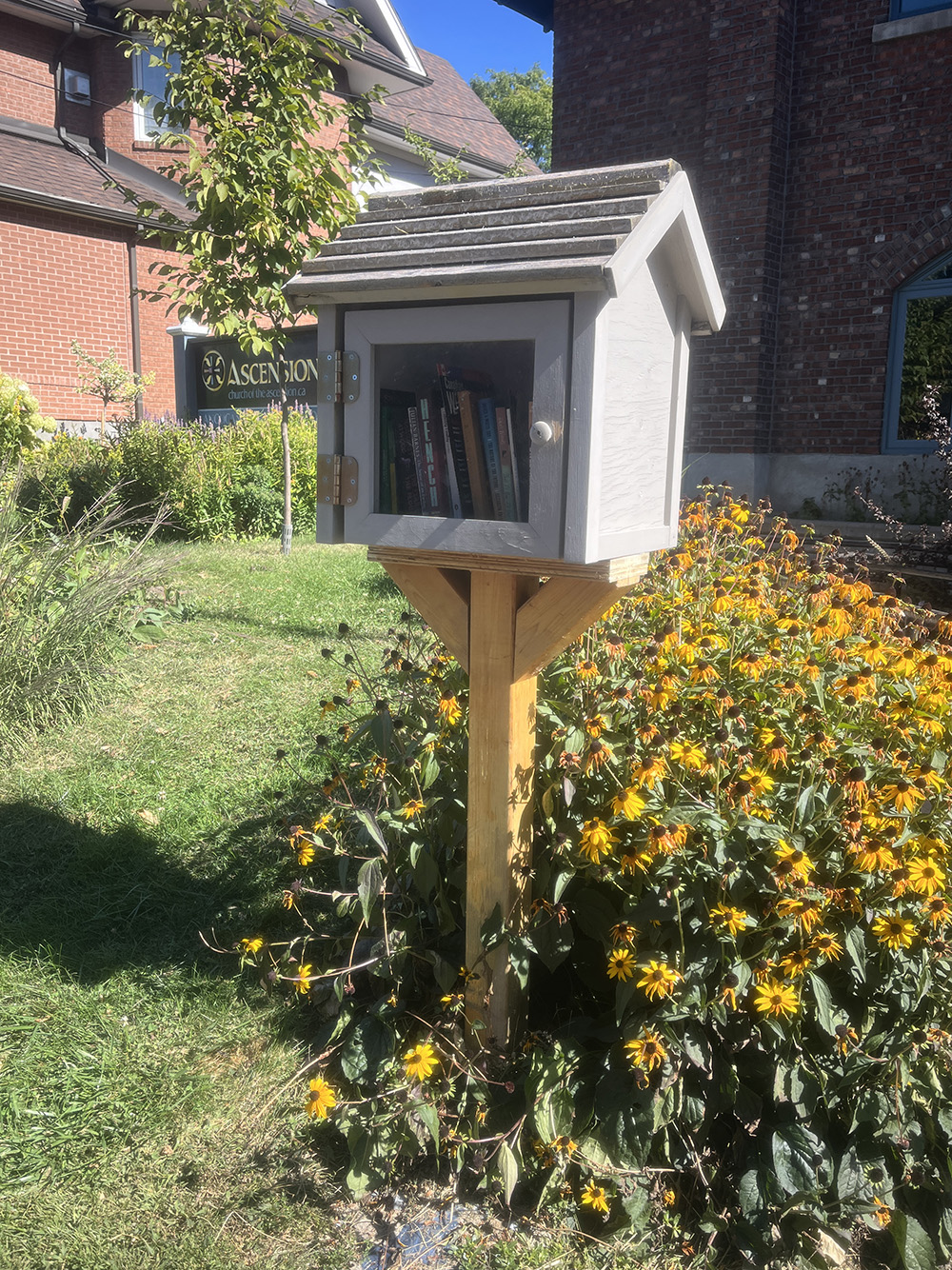
Along Echo Drive in front of The Church of the Ascension you will find this fine box.
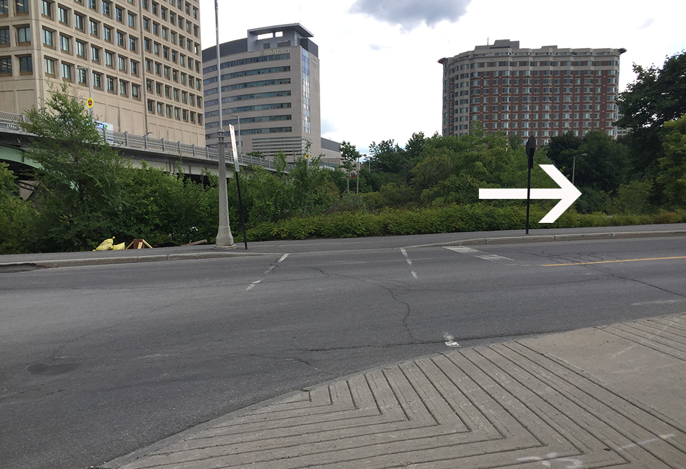
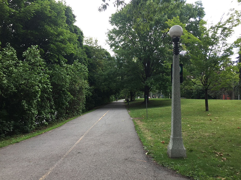
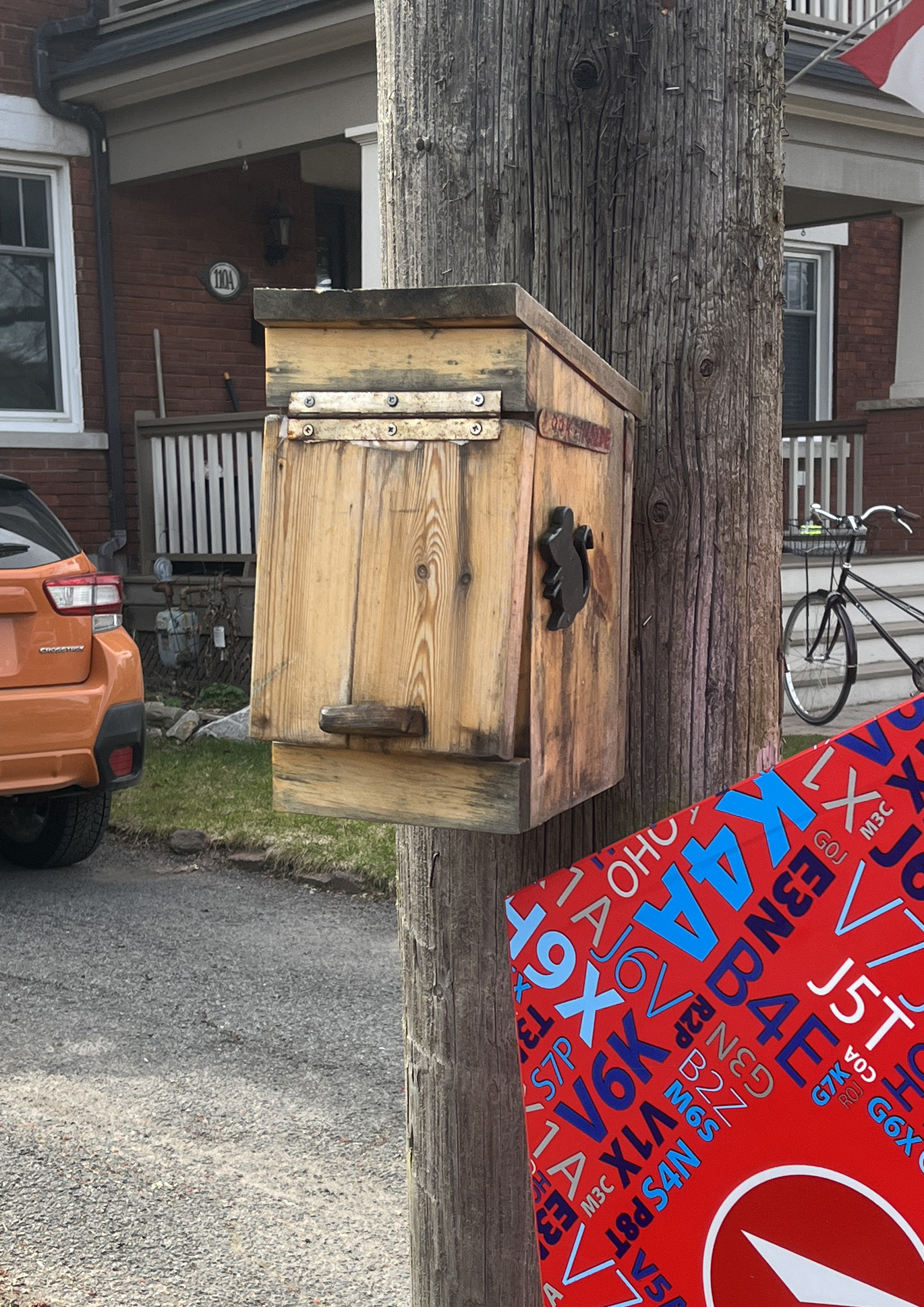
Ride north along the Rideau Canal pathway then cut through the Ottawa U campus. Once you cross King Edward, push your bike a short distance along the east sidewalk to this forlorn box, bravely located on one of the craziest streets in the city.

Head back to ther lights and continue east along Somerset E through the Sandy Hill neighbourhood. This lovely pink & white box can be found on Russell Ave.

At the corner of Templeton and Chapel Streets sits this big blistering blue box.
A few houses north on Chapel you will find this box.

Next there’s this box on Marlborough Ave.

Another one on Golbourn.
Another great Sandy Hill box on Osgoode.

You will find this Book Library near the north/east corner of Stewart. It has a stepping stone to allow smaller readers to peruse the titles.

A bit further down Stewart you will find this sticker covered box.

On Besserer St you will find this double-post box tucked in behind a low fence.
Over to Wurtemburg St to check out this sweet box.
After crossing over the Rideau River this next branch visits three boxes. The first is this box on Mark Ave.

A couple of blocks nouth gets you to one of the same design on Greensway Ave.

Last of the three boxes on this branch is this fine little unit at the corner of Vachon and Dagmar with some paving stones to keep your shoes clean while you peruse.
This big box can be found on Shakespeare St.
There are two fine boxes back over in Overbrook. Weave your way along a few residential streets to this fine Little Library on Queen Mary Street.
Just across the Vanier Parkway you will find this fine box/bench combo on King George St.
A few blocks north there sits this sweet little library on Ontario Street with a big bench to relax.

Over on the corner of Frontenac & Lacasse you will find this fine box.
Next, over to 770 Claude St
A bit further east you will discover this fantastic box on Roanoke Street!
Next, over to Pauline Charron Place. This one has had a bottom unit added since it first appeared.
Back to the bike path along St Laurent, head north a touch and turn right onto Meadow Park Place where you will discover this fine specimen.
A bit further north you will happen upon this next box on Braemer.

Next, ride towards and along Hemlock Road that’ll get you to this fine little library.

Ride over to New Edinburgh where you will find this big colourful box outside the MacKay United Church.
One block soth you will find this fine Little Library attached to the telephone pole at the corner of River Lane and Dufferin Road.
Cross the river over the St Patrick Street bridge towards this bright red box at the end of Old St Patrick St. in Lowertown.
Over to the corner of Rose and Bruyère to visit this jaunty box. It has had a kids box addition installed as well.

Further along St Andrew, on the opposite side of King Edward Ave, there sits this elegant little box. Note the bike ramp on the porch steps. Bonus points!
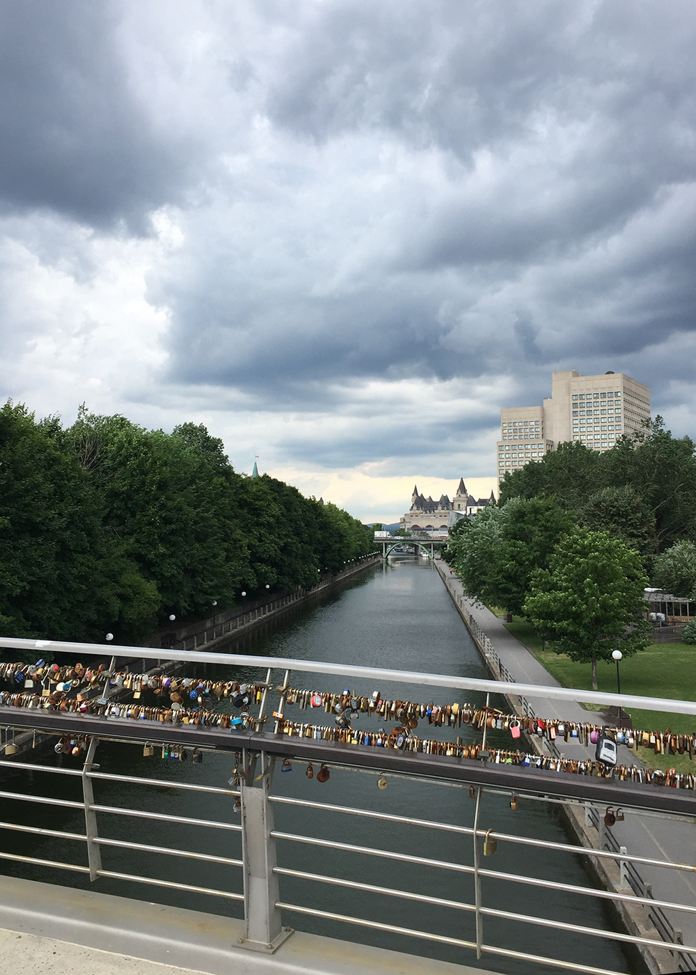
Time to retrace our route back to the Rideau Canal and ride south. On Fourth Ave there’s this very clever box with clear acrylic panes on the front and back, allowing the residents on whose property it sits to be able to see if it is full from the comforts of their home.
This sweet little library is located on O’Connor Street near Patterson Creek.

Heading north you will find this Library/bibliothèque at the corner of Strathcona and Metcalfe.
The next two boxes are neighbours on Argyle which is accessible via the bi-directional bike lanes along O’Connor. The first is this brightly painted number.

The second box on Argyle has beautiful landscaping.

This box is just outside the kids playground in Dundonald Park.
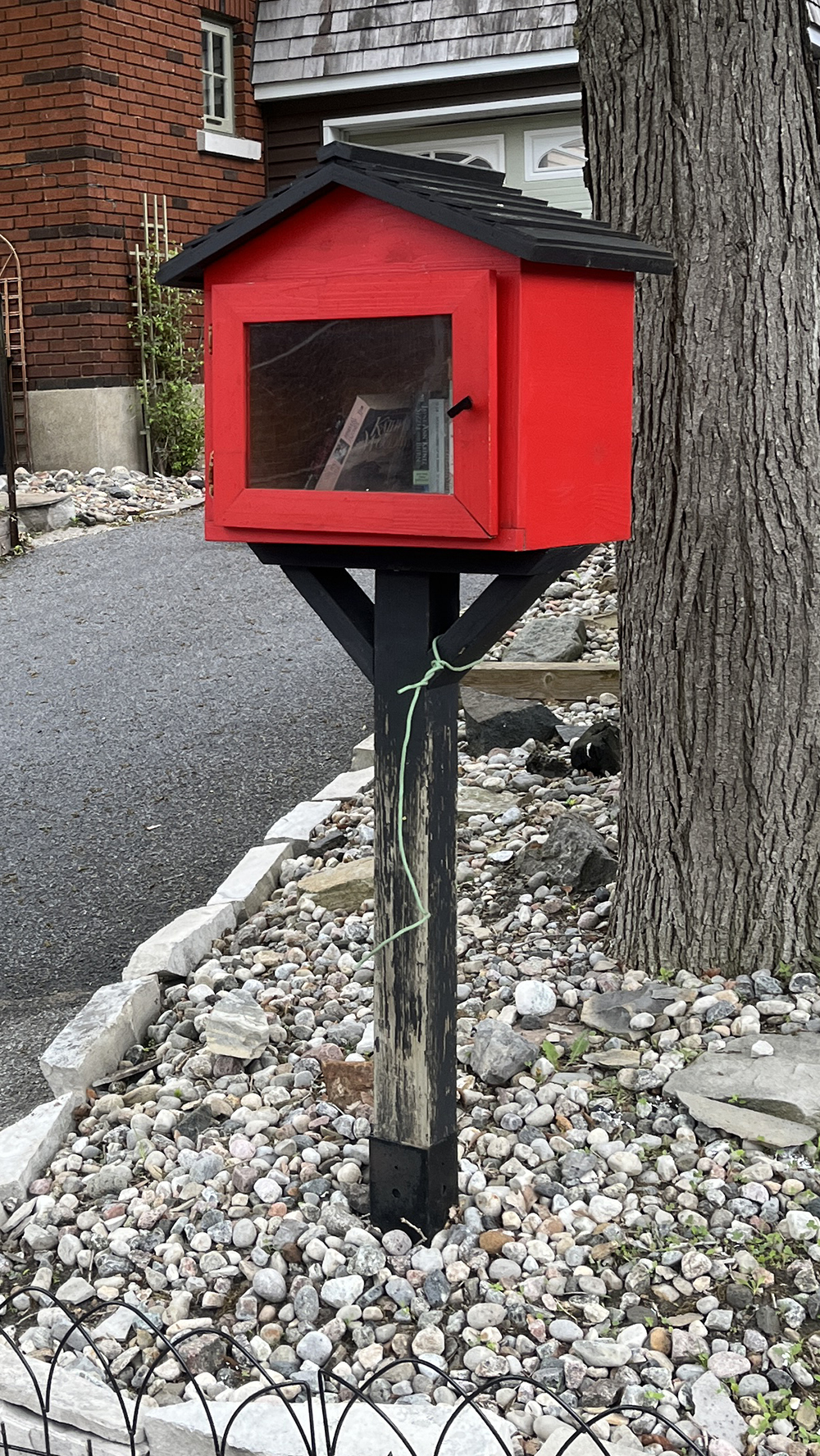
A few blocks south on Arlington you will find this fine red box!
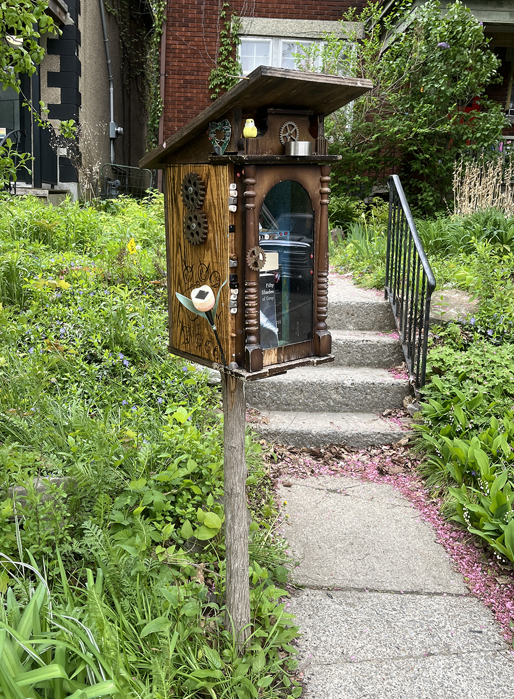
This slightly crooked but perfectly functional Little Library can be found on Arlington a few blocks west of Bronson. The mini solar panel powers a light that turns on after dark once you open the door to the box. It was working a few years ago. I will have to go back when it’s dark out to confirm it is still operational.

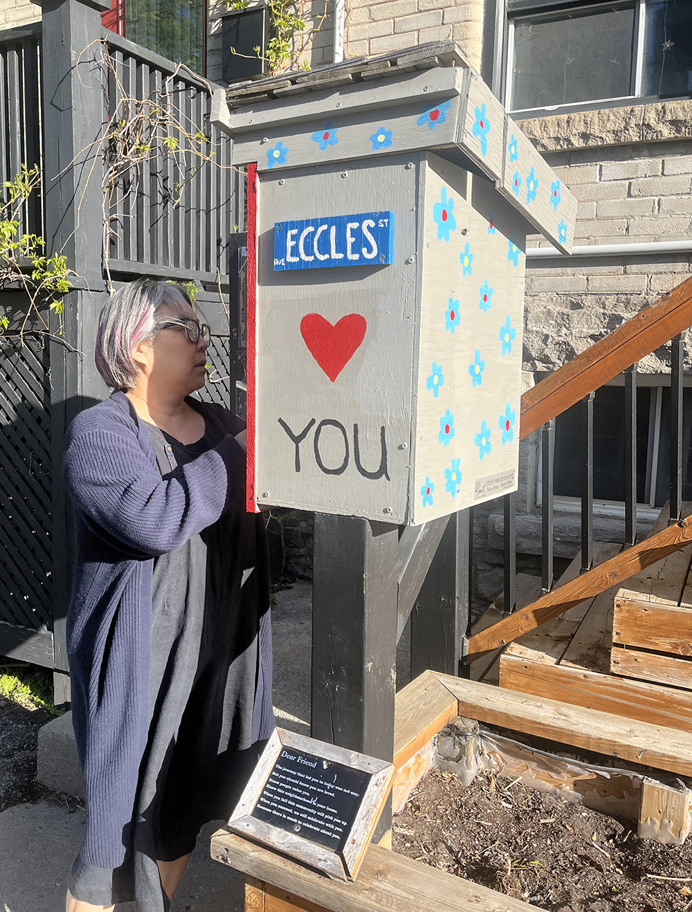
This loving box can be found on Eccles.
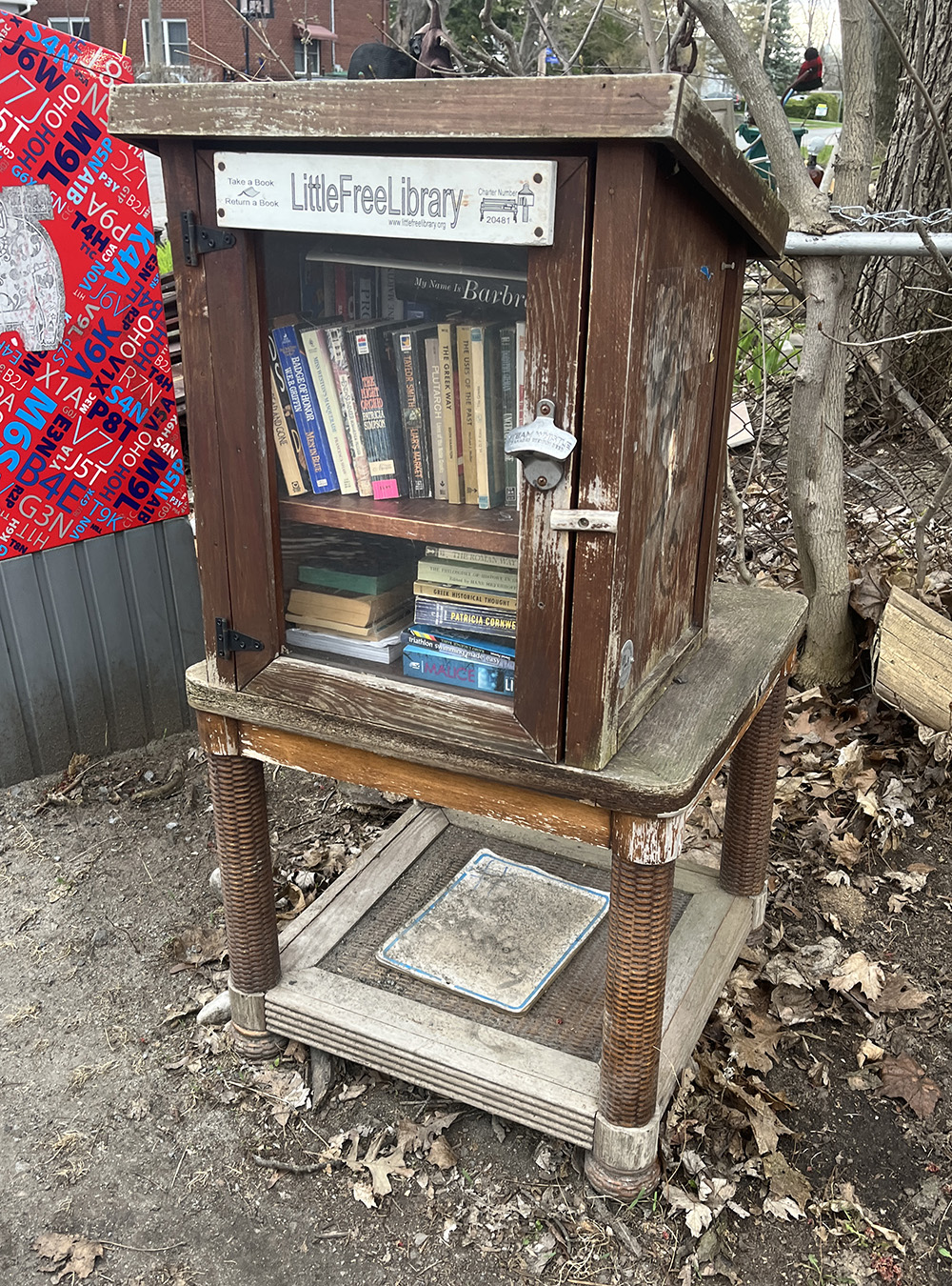
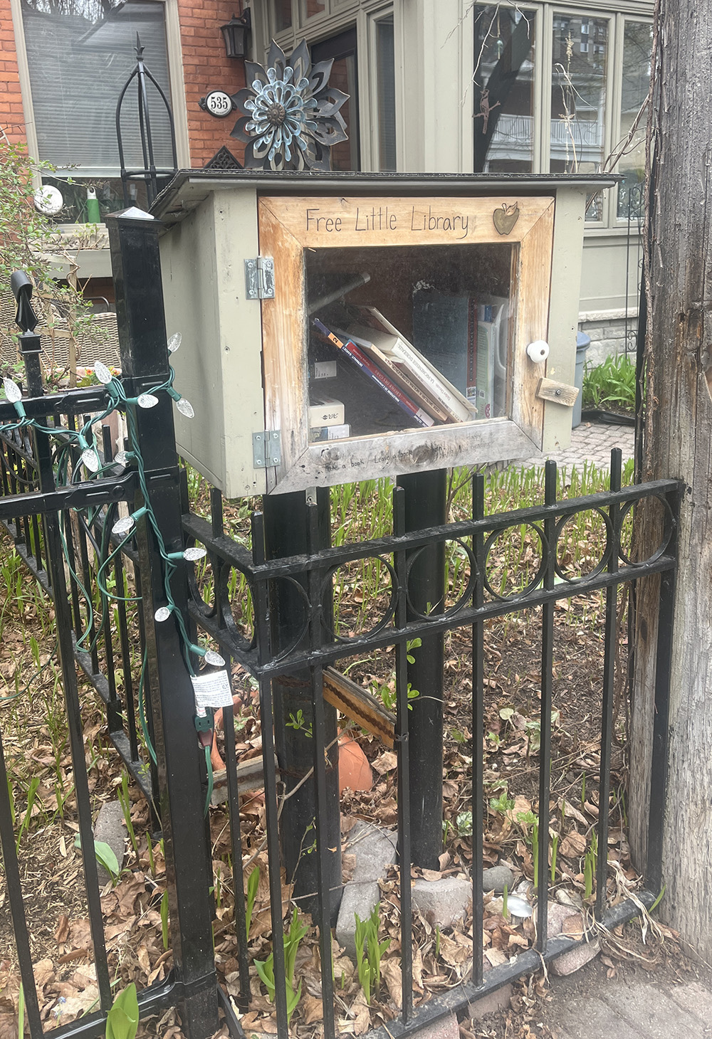
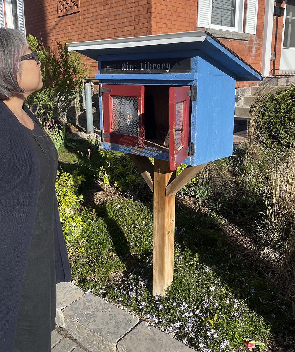
Our final stop is this Mini Library, corner of Cambridge St N and Christie. This one takes taller books too!
Et voila. Happy discoveries. If I’ve missed any boxes please send me a note and I’ll include it on the route.
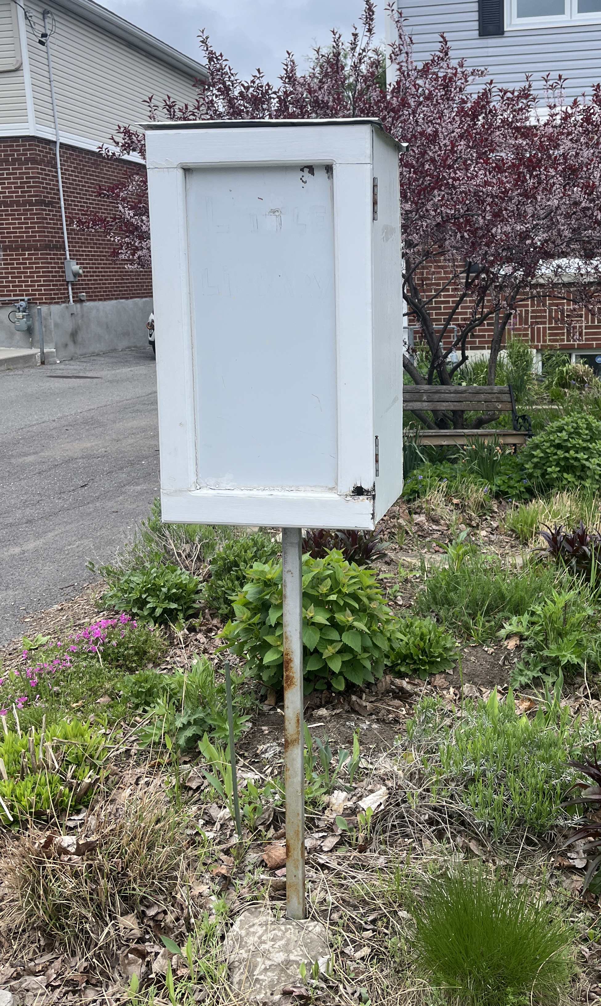
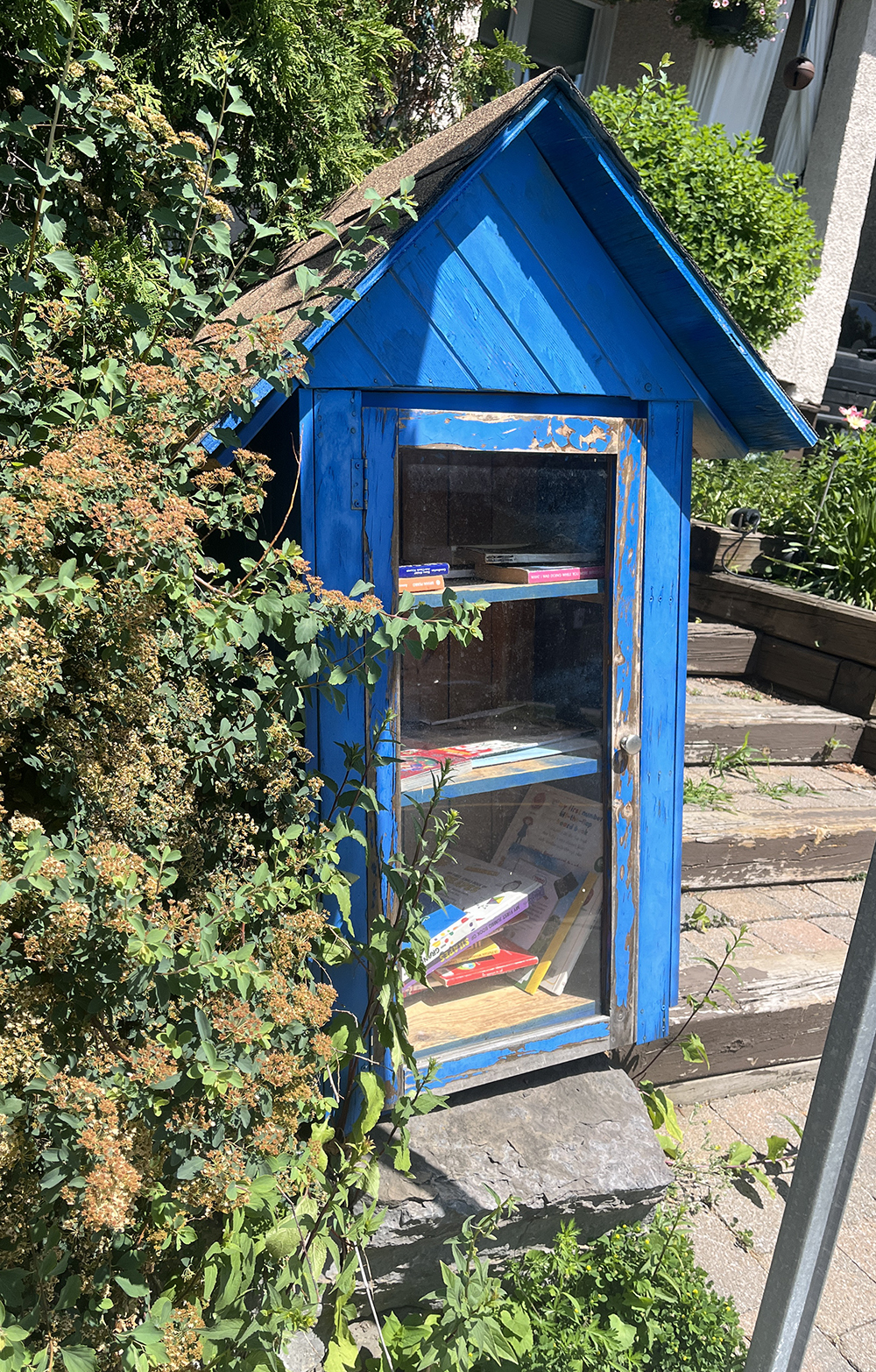
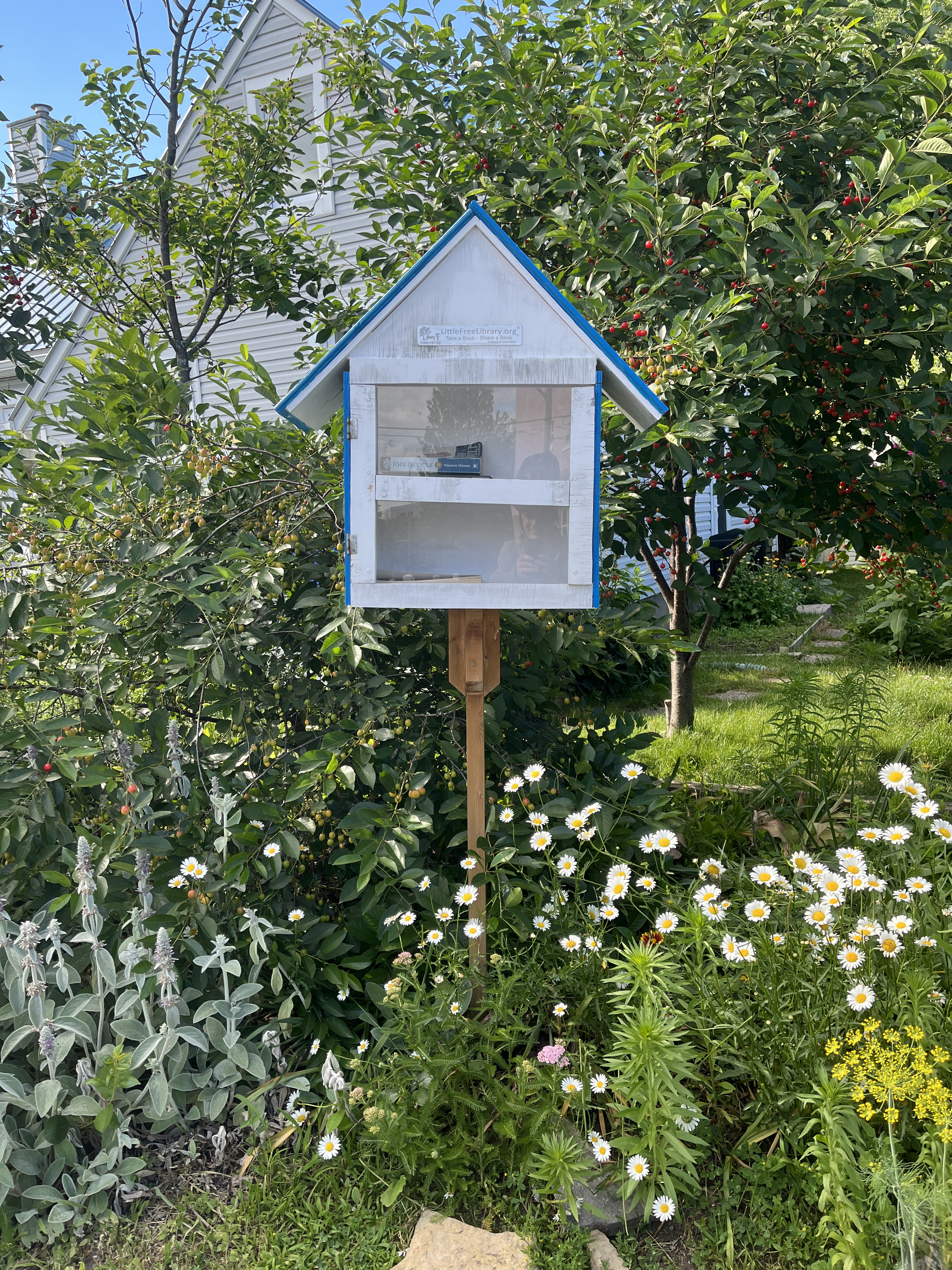
A final special mention for this super sweet little swap box once located on Cole Avenue. It was one of this author’s favourites, so I leave you, dear reader, with a final image before it disapeeared, in commemoration of all the other wonderful boxes that have come & gone over the years.