Bike Commute from Woodroffe & Carling to Kanata where Herzberg Road turns into Terry Fox Drive

Laura was asking about a bike commute route from the intersection of Woodroffe and Carling Avenues to approximately where Herzberg Road becomes Terry Fox Drive in Kanata. Here’s the route I tested.

.
Carling & Woodroffe is a busy extended traffic intersection – not the most pleasant place to hang out on a bicycle, so I cut through the parking lot to the north to get to Woodland Ave.

And away we go! Arrow points across parking lot towards Woodland Ave

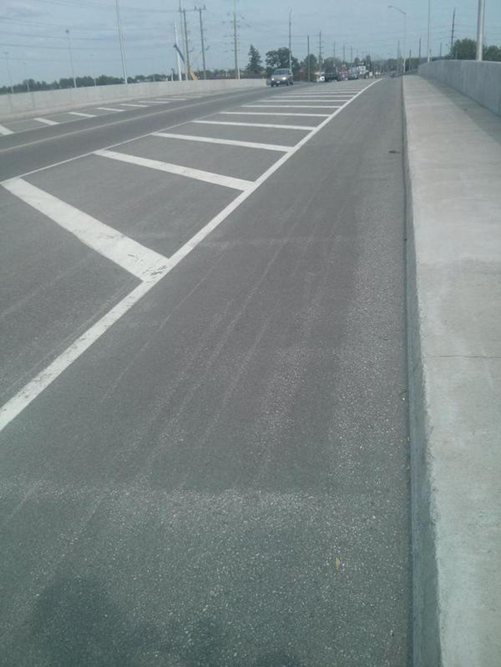
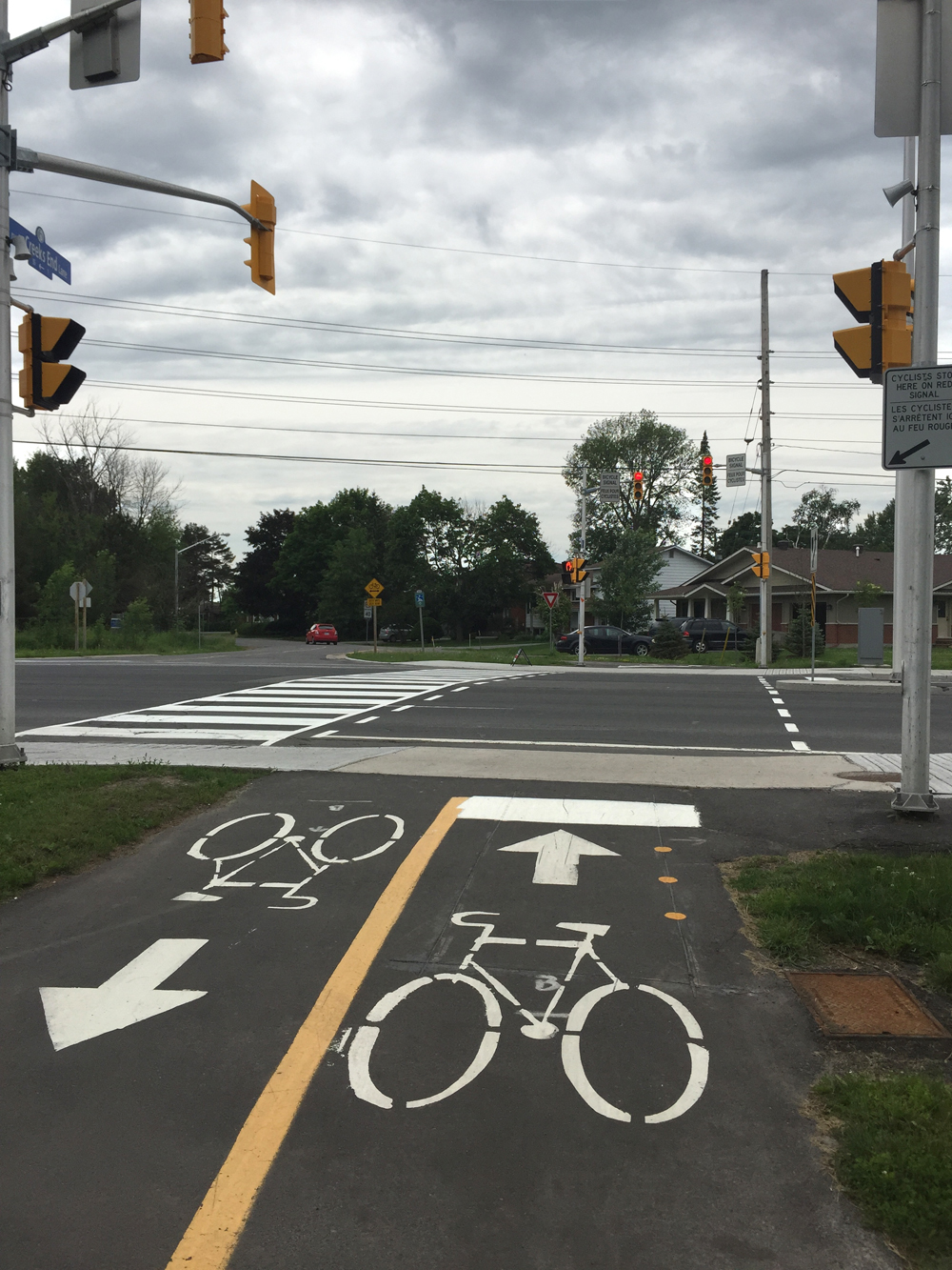
I then zig-zagged my way along quiet residential streets to the northern end of Edgeworth Avenue. There I crossed at the traffic lights to the north side of Richmond. Richmond is usually busy however there are bike lanes that run alongside where it goes up and over the SJAM Parkway.

Taking the bike lane along Richmond Road

I then turned north off Richmond onto Regina Lane.

Turn onto Regina Lane

Regina Lane is one way so the return trip would require crossing Richmond a block further west at the lights at Assaly Street, as suggested by the green line on the above map.

I then wove my way north-westerly along residential streets to a path just off Lincoln Heights Road that leads to the Ottawa River Pathway.

Path off Lincoln Heights Road

I followed the Ottawa River Pathway west all the way to the cross lights at Carling.

Crosswalk at Carling from Ottawa River Pathway to the start of Watts Creek Pathway
Crosswalk at Carling and the Ottawa River Pathway

On the opposite side of Carling the path becomes Watts Creek Pathway. There is another signalized crosswalk where the path meets Holly Acres Road.

Crosswalk at Watts Creek Pathway and Holly Acres Road

On the other side of Holly Acres I rode along Aero Drive for a hundred yards or so before continuing on Watts Creek pathway.

Watts Creek Pathway continuing a short distance along Aero Drive

Watts Creek Pathway rolls along very nicely through wooded area at times within sight of the Queensway.

Watts Creek Pathway in a wooded spot

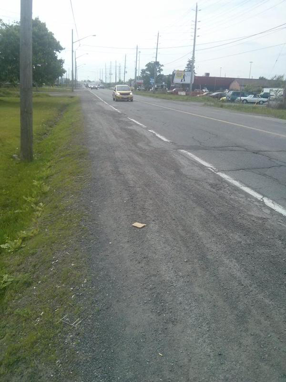
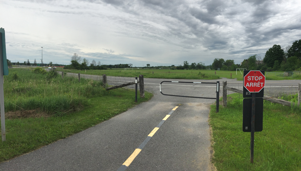
Once arrived at Corkstown Road the path continues as a packed gravel path on the opposite side of the street for a short distance as far as Moodie Drive. Many choose to ride along Corkstown Road, but it doesn’t have a shoulder and many cars like to speed along this street, so if it isn’t raining or too mucky I take to the path. UPDATE 2017: A great new paved path has been created replacing the packed gravel path! So, no need to bike along Corkstown Road.

Watts Creek Pathway at Corkstown Road with view of the gravel path across the street

Across Moodie Drive, Watts Creek Pathway continues a short distance along Corkstown Road.

View across Moodie towards continuation of Watts Creek Pathway a short distance along Corkstown Road

I continued along the path under the train tracks versus taking the split towards Carling.

Path followed under train tracks

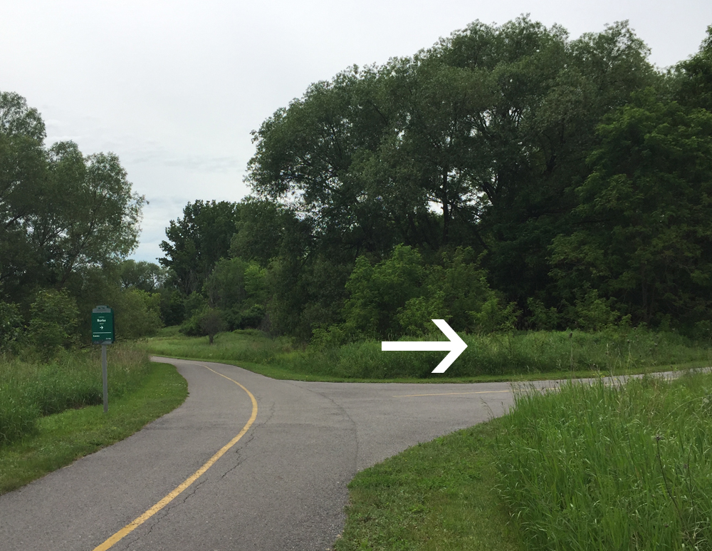
A bit further on I took the exit off the path at the sign indicating Burke Road.

Exit towards Burke Road

There’s a short section of packed gravel path on the way to to Burke Road.

Short section of gravel path on the way to Burke Road

Burke Road is very short before connecting to Carling Avenue.

There’s a mostly packed gravel & dirt path across Carling from Burke Road. It can get muddy if it’s raining but otherwise, it’s lots of fun to ride along through a forested area and past a golf course.

Start of path on north side of Carling opposite Burke Road

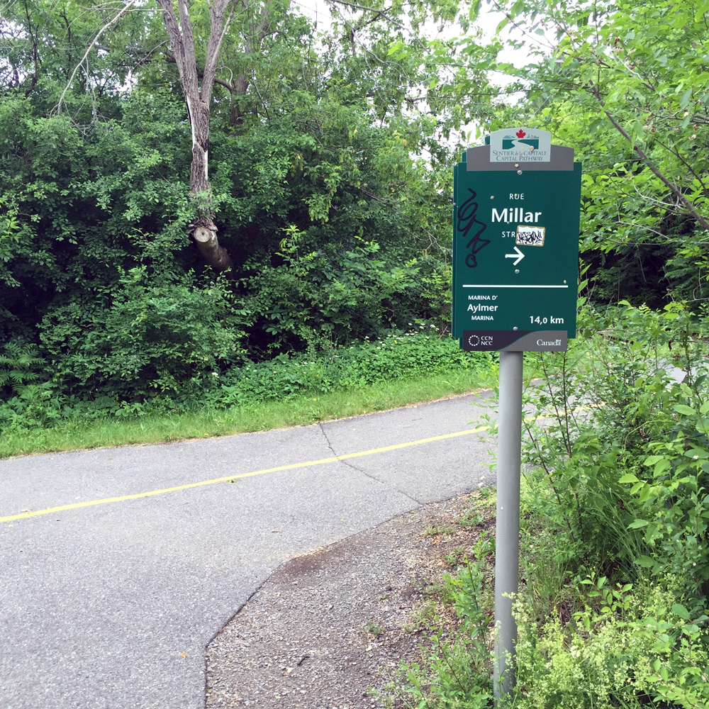
At one point there’s an unmarked left turn onto a narrow path. I missed it the first time round, which wasn’t a big deal because the path reaches Herzberg Road just a bit further on, which you can take back to Terry Fox Drive, as suggested by the pink line on the above map.

Short path link towards Terry Fox Drive

I prefer the short narrow path because it goes by this great old abandoned barn before arriving at where Herzberg Road becomes Terry Fox Drive.

Old barn
Old barn

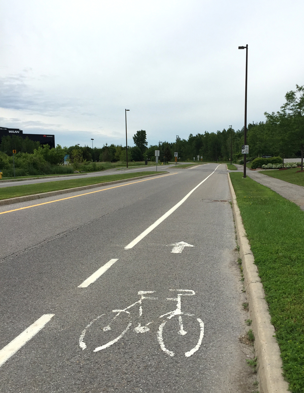
Once arrived at Terry Fox Drive there’s a bike lane I followed the rest of the way to our final destination.

Bike lane along Terry Fox Drive

On the way back, rather than take the gravel path, I followed the bike lane along Terry Fox Drive/Hertzberg Road, then along Carling back to Burke Road, as indicated by the purple line on the above map.

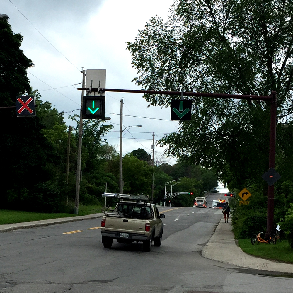
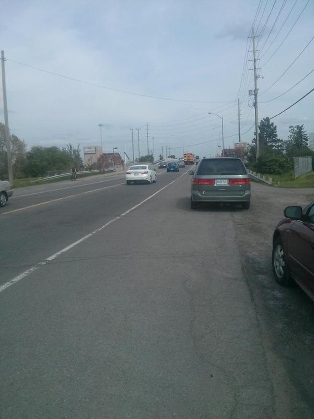
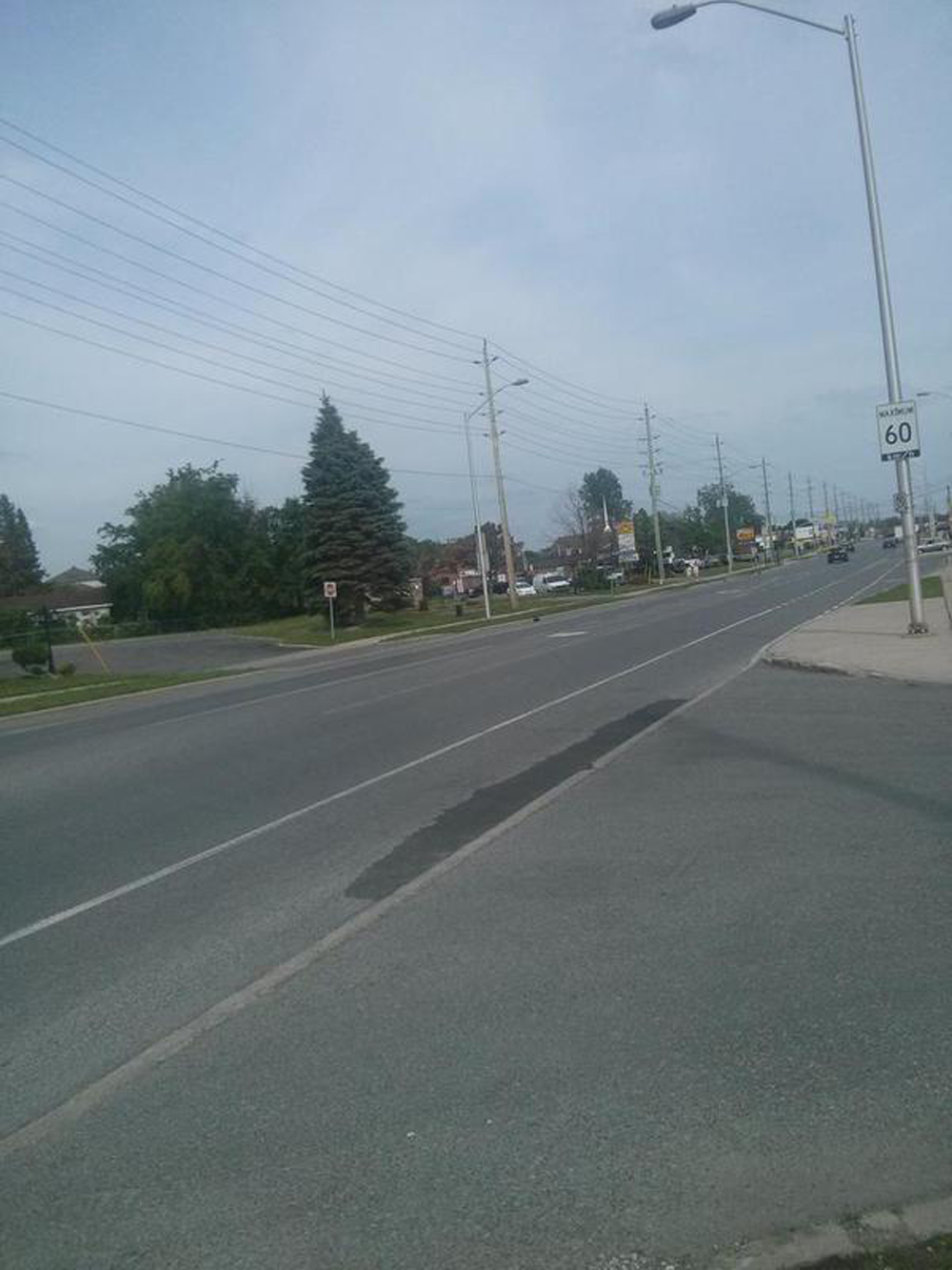
If I’m riding at a time when there isn’t much traffic I may choose to continue along the Carling bike lane beyond the Burke Road turn, however where Carling passes under the train tracks the bike lanes disappear, like so. It’s location is indicated by the green drop pin on the above map.

The Carling SQUEEZE!!!
The Carling Avenue SQUEEZE!!!

Carling has a lot of speeding traffic, so I usually get back on Burke Road to avoid this tight spot.

Et voila!

bridge

Dear reader, if you know of anyone else who is looking for a bike route to work please feel free to forward them this promo: Promo4-01

Bike Link From the Voyageurs Pathway to the Lac-des-Fées Pathway

The Lac-des-Fées Parkway runs along the eastern edge of Gatineau Park. A multi-use pathway runs parallel to it, then curls in to the park at Rue Gamelin, eventually meeting up with the Gatineau Park Pathway. It’a a good commuter route for those living adjacent to the park, as well as a slightly less arduous access to the park than the Gatineau Park Pathway, albeit not as scenic. The tricky part is how to access The Lac-des-Fées Pathway from the south, more specifically the Voyageurs Pathway that runs along the mighty Ottawa River. Here’s how.

.
Riding along the Voyageurs Pathway heading west there’s a sign indicating Rue Millar.

Link off Voyageurs Pathway to Rue Millar

Right across Rue Millar there’s a path through cozy little Parc Baker.

Path through Parc Baker (photo doesn't show it, but there's a bike rack & picnic table nestled in there)
Path through Parc Baker (photo doesn’t show it, but there’s a bike rack & picnic table nestled in there)

The path through Parc Baker brings you to Boulevard Alexandre-Taché, one of the worst roads to ride along in the entire Outaouais. Fortunately Alexandre-Taché needn’t be followed for very long, and there’s a sidewalk to follow that goes over the train tracks.

Boulevard Alexandre-Taché

Just beyond the tracks there’s a desire line path that crosses in front of the Salaberry Armory.

Desire line path from Alexandre-Taché intront of the armoury heading towards Boulevard St-Joseph
Desire line path from Alexandre-Taché infront of the armoury heading towards Boulevard St-Joseph

This leads to Boulevard St-Joseph, another less than spectacular riding experience, with many-a-pothole and cross town traffic, but far less insane than Alexandre-Taché. It also requires following for just a short stint before arriving at the FIP sign pointing to Promenade du Lac-des-Fées along quiet residential Rue Duquesne.

Riding along Boulevard St Joseph just before turing on to Rue Duquesne

Then, hop! – you’re onto the Lac-des-Fées Pathway.

Southern start of the Lac-des-Fées Pathway

On the way back things get a little convoluted as Rue Duquesne is a one way heading west. This requires weaving one block south to Rue Graham, as indicated by the purple line on the above map, and the photo below.

Dipsy-do to get to Rue Graham heading back

Et voila!

Biking along Cyrville Road from Overbrook to Pineview

UPDATE- May, 2017: New bike lanes have been introduced along Cyrville Road, thus addressing many of Élise’s concerns described below. Her’s was a great description of the ‘before’ conditions. The new bike lanes along Cyrville are described in this post.

Bike access to the community of Pineview from areas west and north of it is very limited. The Trans-Canada Highway divides it from the west, while the Queensway separates it from the north. I’ve described one option that requires walking your bike over the Blair Transitway pedestrian bridge and carrying it down a set of stairs or taking the elevator at the north end of the bridge. Oof! Another access over the Trans-Canada along Innes is very dangerous and foolhardy to bike along, as described in this post. The other option is to ride along Cyrville Road over both the Queensway and the Trans-Canada. It unfortunately is less than stellar, with intermittent sections of bike lanes, gravel shoulders, rough road conditions, and lots of speeding car and truck traffic.

Élise lives in Pineview and recently described the ride along Cyrville road from Overbrook to Pineview in a series of Tweets. She was very kind to let me re-post them in sequence below. I’ve included a map charting where she took the photos along the route.

Her tweets did elicit a reaction from her city councillor who responded with encouraging signals he is pushing for safe cycling infrastructure to be introduced along the length of this important access to Pineview. Until such time, here’s what riders have to contend with.

All text and photos below credited to Élise Gauthier.

.

Getting onto Cyrville from Ogilvie. The bike lane suddenly appears.
Photo 1: Getting onto Cyrville from Ogilvie. The bike lane suddenly appears.
Then you find this weird not-quite-a-bike-lane, where cars can park.
Photo 2: Then you find this weird not-quite-a-bike-lane, where cars can park.
On the Cyrville bridge, a surprisingly nice segregated bike lane.
Photo 3: On the Cyrville bridge, a surprisingly nice segregated bike lane.
Here I have a choice: scary gravel & huge potholes on the shoulder, or big trucks?
Photo 4: Here I have a choice: scary gravel & huge potholes on the shoulder, or big trucks?
Is this meant to be a bike lane?....
Photo 5: Is this meant to be a bike lane?….
Couldn't stop on 2nd bridge, but where am I expected to ride here?
Photo 6: Couldn’t stop on 2nd bridge, but where am I expected to ride here?
Ah, back to a nice, safe bike lane.
Photo 7: Ah, back to a nice, safe bike lane. And thus ends my death defying bike ride. It’s worth noting I saw four other cyclists, so I’m not alone.

Riding to Costco in Gatineau

Of all the Costco’s in the region, the one in Gatineau is the most accessible by bike from neighbourhoods in and around downtown Ottawa. A couple of riders who regularly pedal out there were very kind to let me tag along on their latest shopping adventure. (Update – Biking to the Costco on Innes from areas closer to downtown is pretty good too since bike lanes were added along Cyrville Road. Click here for a route there from Overbrook).

Because everything is sold in bulk at Costco, I put out a request for suggestions on which bike trailers would best be able to handle a big load. The overwhelming favourite were those manufactured by Wike out of Guelph Ontario. Giacomo was very kind to lend me his Heavy Duty Flatbed Bike Trailer he uses to roast his Bike Hibachi Pigskin Pork Tenderloin. It performed extremely well on this Costco test ride.

Here’s how it all panned out. Blue line is the way we got there. Purple line is how we got back.

.
We started off from the Woonerf on Cambridge St North in Centretown.

Yes indeed. There are six big Rubbermaid bins on the back of JP's trailer.
Yes indeed. There are SIX big Rubbermaid bins on the back of that trailer.

We accessed the Ottawa River Pathway at the bottom of Nanny Goat Hill and followed multi-use paths all the way to Pointe-Gatineau on the east side of the Gatineau River.

Riding along the Voyageurs Pathway

UPDATE 2020 – Rue St-Antoine running parallel to Rue Greber is a relatively quite street with bike lanes that lead all the way to the back of the Costco. This route is depicted on the above map.


Entrance to the Gatineau Costco

I loaded as much as I would have on a typical car run and even had room for more, especially if I had brought rear rack panniers.

Loaded up and raring to go!
Packed with room to spare

Mr One Wheel Drive managed to load 237 lbs (!) on his custom made trailer, like so.

Loaded up & ready to head home

The bike path along Boulevard de la Gappe described in this post passes by the Costco one block north so we followed it on the way back.

I managed to click this final image as we headed over the Rapid-Transit bridge before it got dark.

Bridge over the Gatineau River

The path network gets a little labyrinthian from Lac Leamy to downtown Gatineau. I’ve heard all efforts at introducing directional signage through this maze have been covered up with spray paint, so a couple of dry runs with Google Maps in hand is highly recommended.

Et voila!

Update – Patrick filmed a subsequent trip we made to Costco following the purple route, which turned out like so!