Second Annual Ottawa/Gatineau Microbrew Bike Tour

Micro-brewing is taking off in and around Ottawa. On our First Annual Ottawa/Gatineau Microbrew Bike Tour we visited a number of breweries in the south, east and central areas of Ottawa and Gatineau. This year’s tour focussed on breweries in the east end of Ottawa and one in the Byward Market. Here’s how it went. Blue line on the map below is the route followed. Purple line is a section of route originally plotted, and one I would ride once the bike lanes along Innes Road have been returned to their former glory post road construction. The red line on the map is a section we should have taken.

.
Before heading out we (Robert, Glenn & I) met up at Raw Sugar for coffee beside the Chinatown arch.

Starting off from the Chinatown Arch

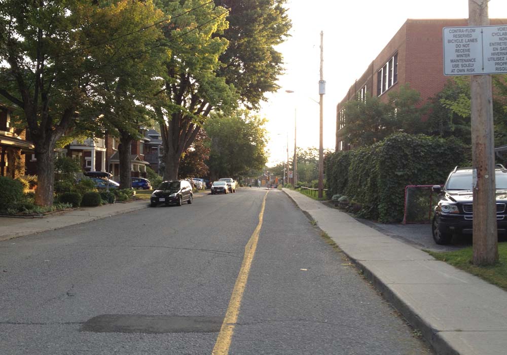
Off we rode to our first stop – Bicycle Craft Brewery on Industrial Road. Great name! The last bit of approach to the brewery along Industrial Road was treacherous. Not only is it filled with speeding trucks and cars, the little shoulder room available to avoid them speeding up behind us had pot holes and sewer grates with slots lined up in the direction of travel. Fortunately the person who greeted and served us is a cyclist, and she told on how to avoid Industrial Avenue. That’ll be the red line on the above map. ie, instead of turning left on Russell road from Coronation Avenue and riding along Industrial, it would have been better to go right on Russell then turn down the lane through the parking to the front of the brewery.

Bicycle Craft Brewery has a bike rack built for three located beside the front door.

Our first stop
Our first stop

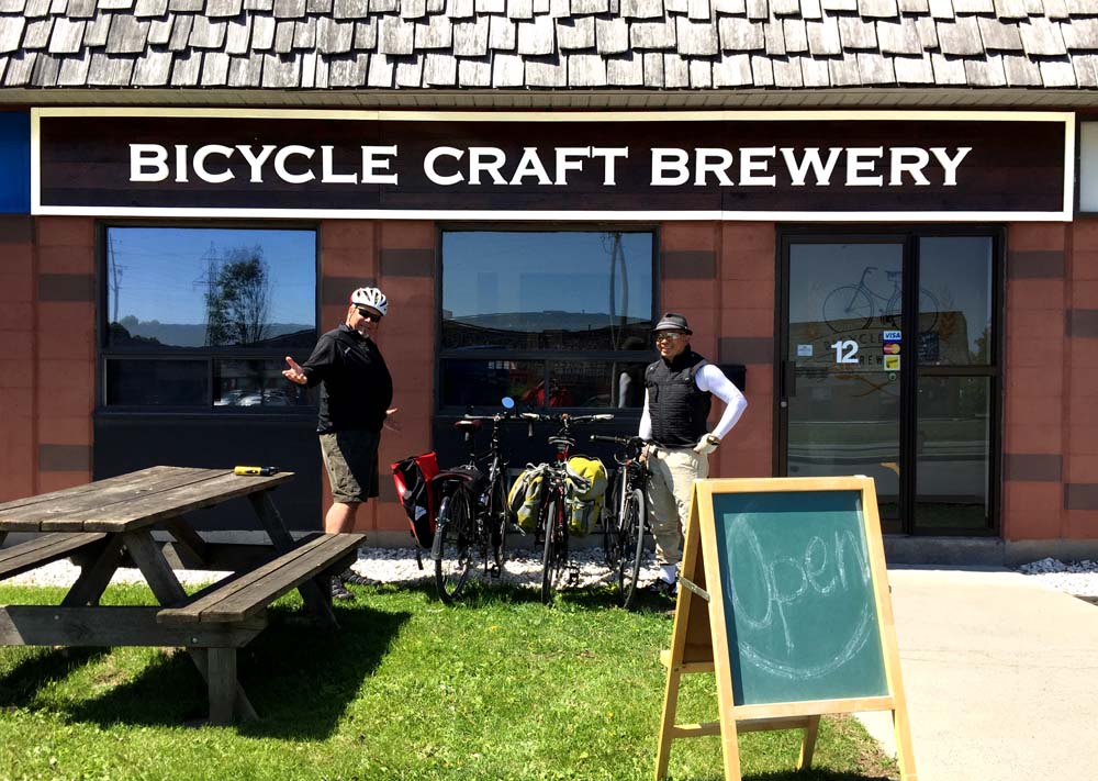
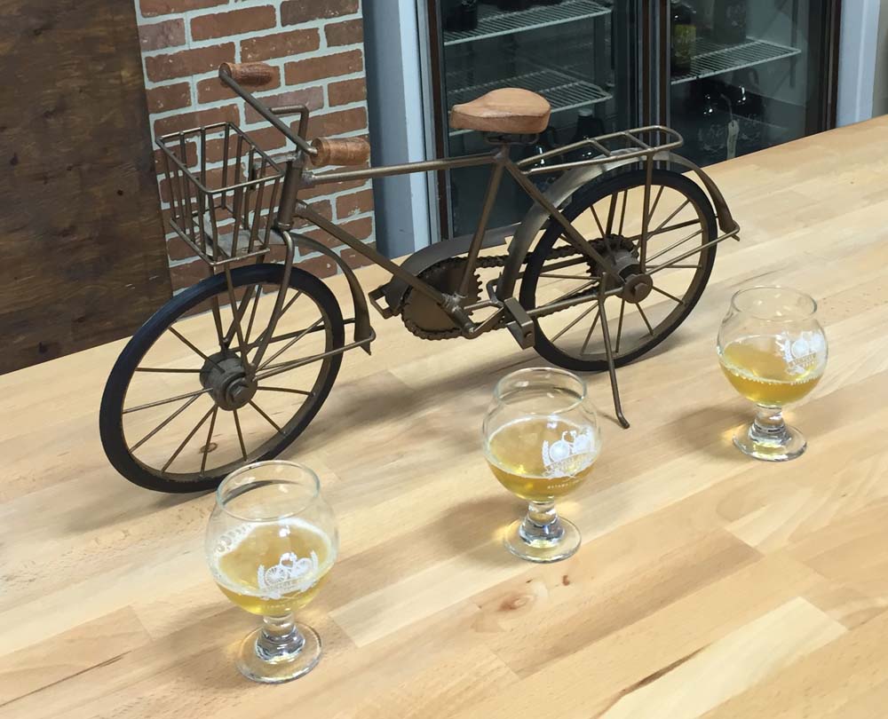
The front of house space is very welcoming with various bike memorabilia adorning the walls. There are also chairs, a wood table to gather around, and a big cosy couch. We had small tastings of a few of their fine brews, my preference being the Crimson Cascade, so I bought a half-growler to enjoy back home. I wrapped it up in a small towel and stuffed it in my rear pannier.

A very relaxed bike tour indeed

On our way out, to avoid Industrial Road, we accessed Russell the way we should have on the way in, then cut through Everest which brought us to the sidewalk on St Laurent Boulevard. Looking across St Laurent we noticed a storefront sign for North of 7 Distillery, so we popped in and see what they were up to. Super friendly owner greeted us. He and another fellow working there shared stories on how the distillery came to be and offered taste sips of a couple their wares. The Triple Bean Gin was very tasty, so I bought a bottle top take home. Carla is very fussy about her gin and she really liked this one.

North of 7 Distillery
North of 7 Distillery (photo by Robert Batsch)

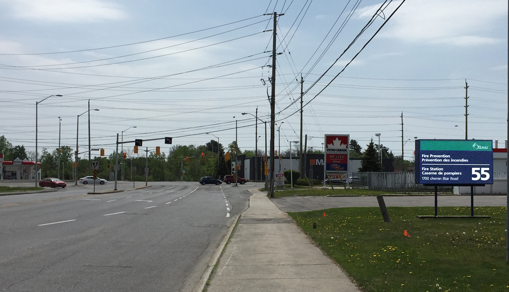
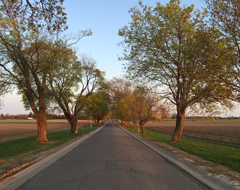
We rode through the parking lot to get to the bike path that runs along Innes Road as far as the Trans Canada Highway. There are no bike lanes or even sidewalks along the bridge that goes over the Trans-Canada and cars fly on and off the ramps to and from the highway. To avoid this terrible section we turned north on Star Top Road, then south east along Cyrville Road over the Trans Canada. Cyrville is not a great road to ride along either but is the least dangerous option of the two, with no highway on and off ramps to worry about. On the east side of the bridge there is a bike path that starts beside the entrance to the Home Depot to Innes Road.

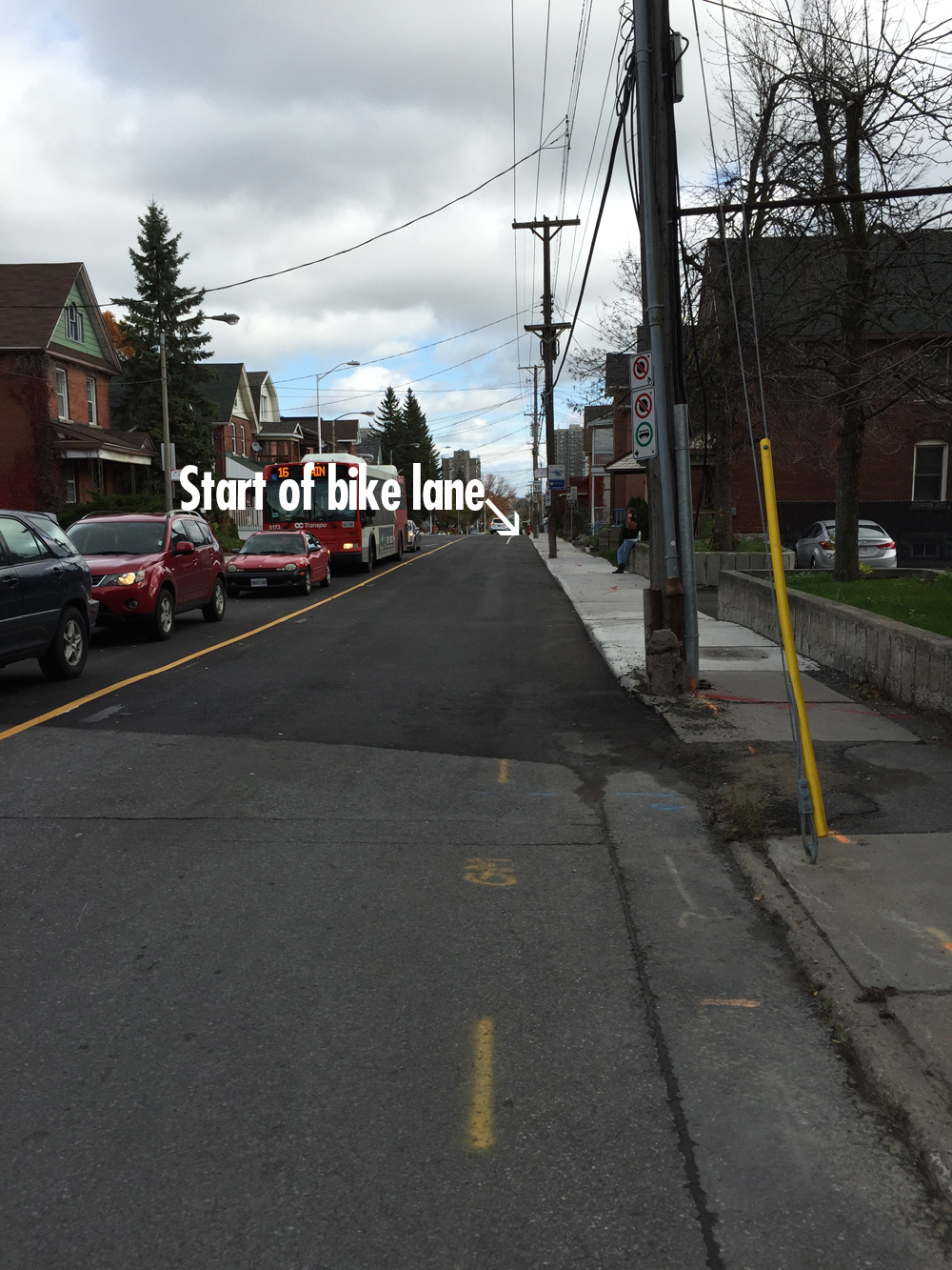
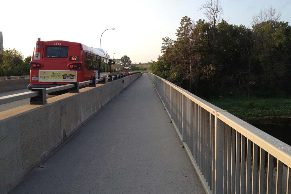
Normally there is a bike lane on both sides of Innes east of the Trans Canada, however some serious road construction had the east bound bike lane all dug up, so rather than riding along Innes, as suggested by the purple line on the above map, we cut up the path that to the Transitway pedestrian bridge over the Queensway.

Path between Innes and Blair transitory pedestrian bridge

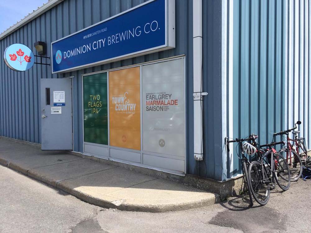
We then rode along Ogilvie Road, which has a bike lane as far as Blair Place. Sans bike lane, riding along Ogilvie is quite unpleasant. Fortunately Robert grew up in this part of town and was able to navigate a safe route along quiet streets from Jasmine Crescent to the Dominion City Brewing Co. on Canotek Road.

Some very friendly people at Dominion allowed us to sample a few small samplings of their brews, my favourite of which was the Two Flags IPA, so I bought a mini-growler. Dominion is also a supporter of the arts. They sponsored the opening of Brian Doyle’s Up To Low performing at Arts Court.

Outside...
(photo by Glenn Gobuyan) Outside…
... and inside the Dominion City Brewing Co.
… and inside the Dominion City Brewing Co.

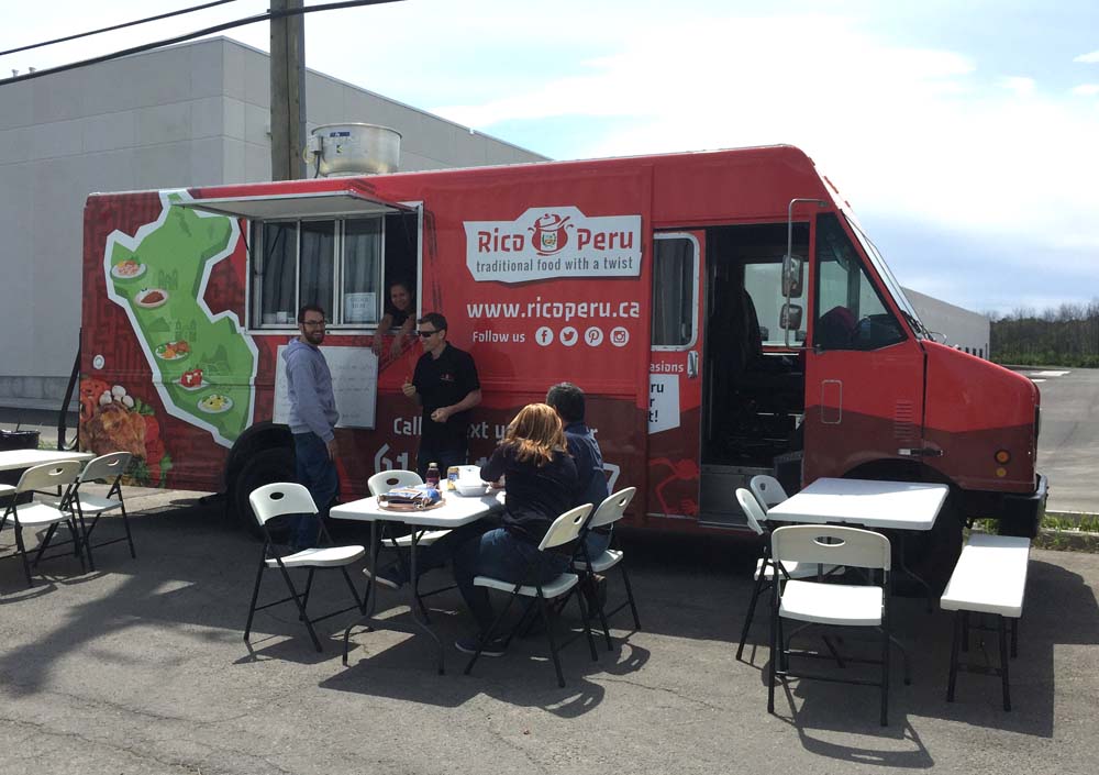
In the parking lot outside the brewery sat the recently Rico Peru food truck. Normally they are located on Montreal Road, but on this fine Saturday Dominion welcomed them to set up in their parking lot, so we sampled their tasty menu. I didn’t have the cerviché, but Glenn said it was really good.

Rico Peru!
Rico Peru!

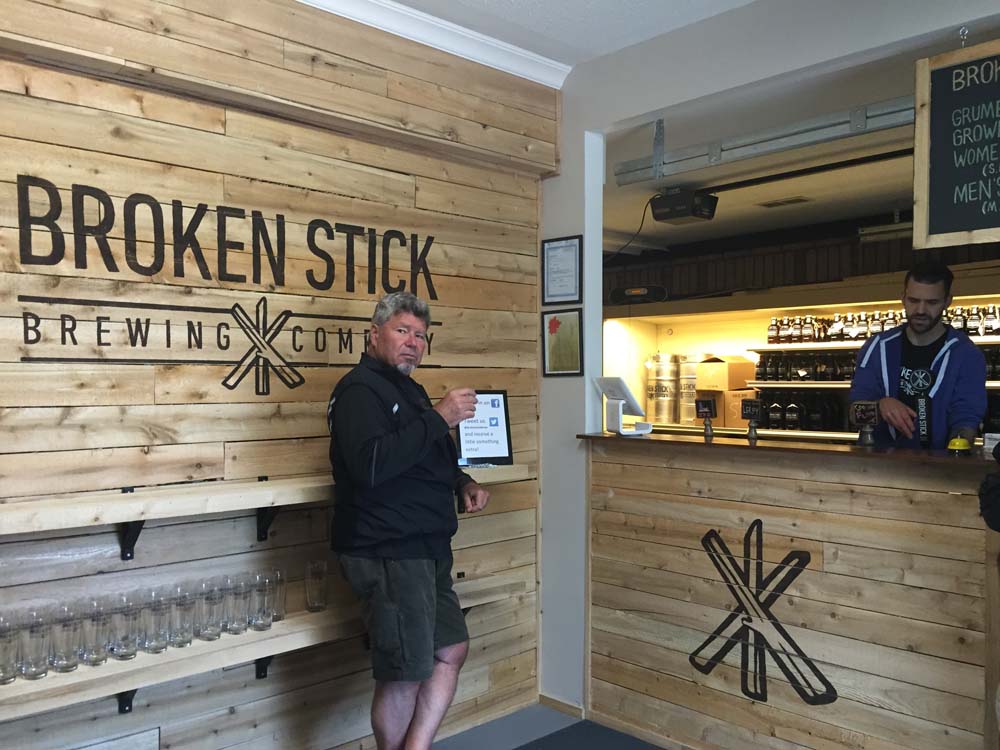
Our next stop was just around the corner at Broken Stick Brewing Company. After a couple of mini-samplings I chose the TPA as my favourite and stocked up on a small growler of the brew.

Inside the Broken Stick

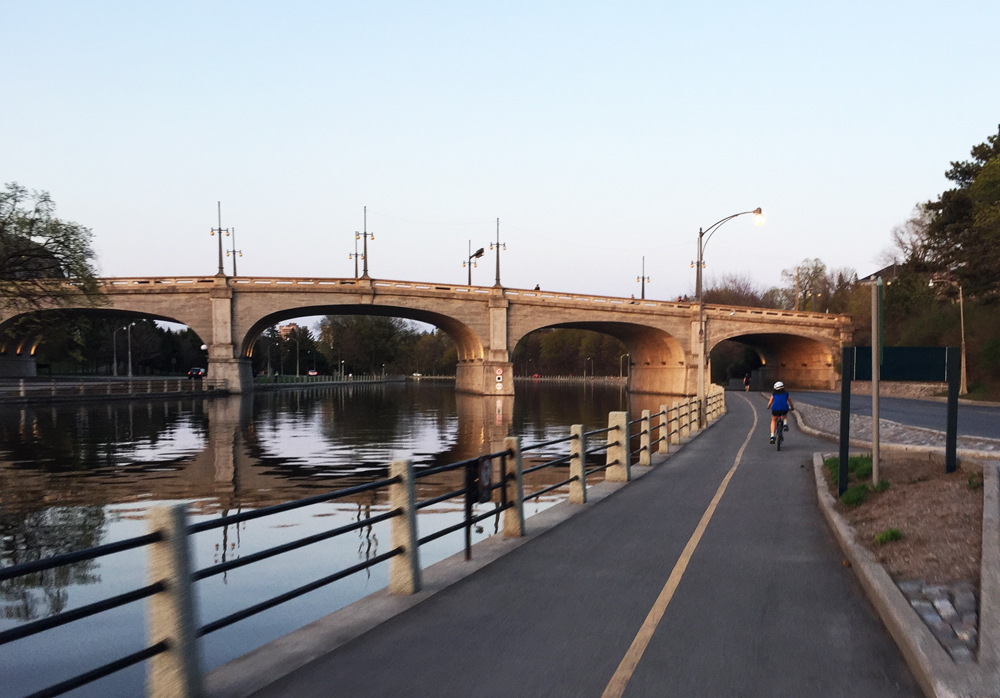
Final destination – Lowertown Brewery in the Market. Right beside Broken Stick Brewery there is a path that leads on to my favourite local multi-use path, the Ottawa River Pathway.

Ottawa River Pathway
Ottawa River Pathway (photo by Robert Batsch)

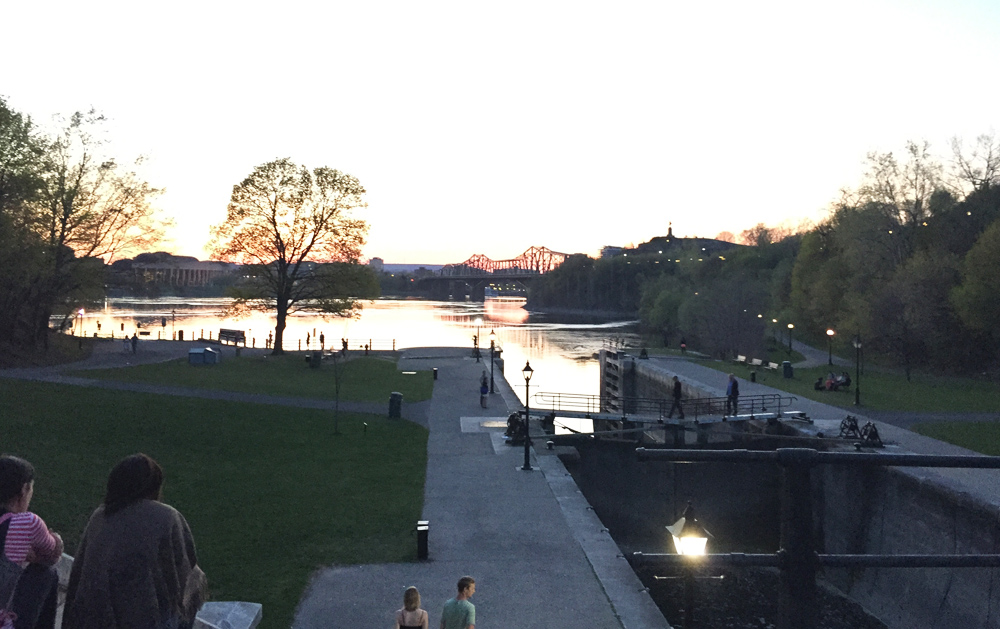
This we followed all the way to Rockcliffe and then wove our way through Lowertown to the brewery on York Street. This is a restaurant brewery that, at the time of our visit, were a couple of months away from meeting the qualifications to sell their brews to take home, so, it being our final destination of the day, we indulged and settled in for a pint on the patio.

Et voila!

Bike and glasses

Ottawa bike route from the Glebe to Pineview

Here’s a bike commute route from the Glebe to Pineview or, more specifically, from the intersection of Fourth Avenue and Bank Street, to Innes and Blair Road. Pineview is one of the trickiest areas of Ottawa to access by bike from points west and north. That’s because Highway 417 divides it from the western part of the city, while the Queensway separates it from the north.

Blue line on the following map traces the route I followed to get from the Glebe to Pineview, purple line is an alternate route I rode on the way back, and green line is a section I followed on the return trip.

UPDATE– 2017: The transitway bridge over the Rideau River is closed off while the new transitway is being constructed. The orange line is a detour I would take to where one can cross the river.

Start : Bank St & 4th Ave. in The Glebe

And off we go! To begin I headed straight down Fourth Avenue towards the Rideau Canal and turned south on O’Connor to access the bike lane that runs along Fifth Avenue to the signalized intersection across busy Queen Elizabeth Drive.

5th ave bike lane east of O'Connor on the way to the lights across Queen Elizabeth Dr
5th ave bike lane east of O’Connor on the way to the lights across Queen Elizabeth Dr

Rode north along the Rideau Canal path and crossed at Pretoria Bridge, which has a bike lane.

Up and over Pretoria Bridge

That took me to the intersection of Hawthorne Avenue and Colonel By, on the east side of the bridge. Things get a little tricky at this spot. If traffic is heavy, as it tends to be at rush hour, I cross to the opposite corner and walk my bike for a short distance along the sidewalk to where it veers left along Echo Drive, like so.

Making your way over to Echo Drive

On this occasion, as traffic wasn’t too bad, I chose to ride south along Colonel By Drive the short distance from the intersection to the meridian just before Echo Drive where there is a reserved bike exit lane.

Bike turn lane from Colonel By Drive to Echo Drive just south of Pretoria Bridge

I then turned onto the first street heading east which is Graham Avenue. It has a bike lane.

Graham Ave
Graham Ave

Graham ends at Main Street. The route jogs a bit to the right before continuing as Lees Avenue across the intersection.

End of east bound bike lane along Graham, looking across Main St to Lees Ave

There is a bike lane along Lees heading east, but it doesn’t start for a hundred yards or so beyond the lights at Main.

Lees Avenue bike lane

The Lees bike lane abruptly ends at Chestnut Street. Drivers always speed along Lees Avenue so I turned onto Chestnut. This took me to Springhurst Ave. I rode to the end of Springhurst to get on this stone dust path and veered left for a short distance along the edge of the Rideau River as far as the Transitway bridge.

Path at the end of Springhurst

I took the path along the transitway bridge over the river, like so.

Bridge over the Rideau River

Once on the other side of the river I turned right, circled under the bridge, and headed east along the Rideau River Eastern Pathway. I turned off the path at the sign pointing to River Road.

Exit
Exit

I then turned east onto Presland Road. There’s a pedestrian cross signal to get across the Vanier Parkway.

Crosswalk signal at Presland and Vanier Parkway

I continued all the way down Presland which became Hardy Rd.

Presland Road - nice quiet street.
Presland Road – nice quiet street.

At the end of Hardy I wove my way north-east a few blocks and crossed St Laurent Boulevard at Donald St. It’s a four lane intersection, but not for too long beyond St Laurent. I then wove my way further north-east along quiet residential streets to Gardenvale Road, off of which there is a short path that takes you to the Aviation Pathway.

Path off Gardenvale....up to Aviation Pathway
Path off Gardenvale….up to Aviation Pathway

I then crossed Aviation Parkway at the entrance to Cité Collégiale and rode along its narrow but adequate bike lane for a short distance as far as the pathway that links to Meadowcroft Crescent, which I took.

Bike lane along La Cité where it intersects path to Meadowcroft Crescent

Wove my way along quiet residential streets to the three way stop at Matheson Road and Bathgate Drive. On the other side of the intersection there’s a link to a recently created path that goes around massive ominous works of architecture that make up the new CSIS headquarters campus. The buildings can be viewed from the path but, as the huge signs on the perimeter fence clearly indicate, not photographed! So this shot is looking back towards the intersection after crossing Bathgate.

Looking back towards intersection of Bathgate and Matheson

The path ends at Ogilvie road, which I crossed at the lights, and worked my way through the giant mall parking lot to the Blair transitway pedestrian bridge over the Queensway.

Through the mall parking, round back behind the giant cinema

The entrance to the transitway is on the east side. The bridge is one level up, accessible by elevator or stairs.

Access to Blair transit station.

One is expected to walk your bike over the bridge.

Crossing the pedestrian bridge over the Queensway

On the south side of the bridge there is a meandering path that crosses Stonehenge Crescent on its way to Innes Road.

Path between the transitway pedestrian bridges and Innes Road

I turned east onto Stonehenge Crescent, then through Pineview Estates that came out onto Blair Road very close to our destination the intersection of Blair and Innes.

Intersection of Blair and Innes

On my way back I followed Ogilvie Road, which becomes Coventry Road on the other side of St Laurent Boulevard, as suggested by the purple line on the above map. Now on first blush one might think it preferable to take this more direct route between Hardy St and the mall parking that leads to the pedestrian bridge. There are bike lanes along Ogilve Road, however Ogilvie is a 4-6 lane highway wannabe. Here’s what it’s like as seen from the bike lane along ogilvie just west of Blair. Lots of trucks too.

Ogilvie Road just west of Blair.

They are building segregated bike lanes along Coventry which will make the section between St laurent and Hardy much safer than it previously was. Whether this will change the intersection of St Laurent and Ogilvie/Coventry from remaining a hornets nest of traffic, we shall see.

St Laurent looking across to Coventry Road

The green line on the above map is a slightly different section taken on the way back to avoid crazy Lees Avenue, because it doesn’t have a bike lane heading west.

Et voila!

Bike Tour of Totem Poles

A while ago I joined a walking tour of Parliament Hill with Jaime Koebel. Jaime runs Indigenous Walks which she describes as, ‘A guided walk & talk through downtown Ottawa that presents participants with social, political, cultural & artistic spaces from an Indigenous perspective‘. As we looked out across the Ottawa (or Kitchissippi) River towards the Museum of History, Jaime mentioned the totem poles displayed within the museum, as well as a number of others carved by indigenous sculptors located outdoors within the area. Here’s a 33km loop that visits those sites. This bike tour is almost entirely along  NCC multi-use paths.
UPDATE 2018: I’ve added an optional detour to Rideau Hall where stands another totem pole (see purple line on map). More on this piece further down in the post.

.
Our ride begins near the eastern tip of Victoria Island where stands this totem pole sculpted by Walter Harris of the Gitxsan First Nation in northern British Columbia.

Totem sculpted by Walter Harris

I rode west and accessed the Ottawa River Pathway behind the War Museum, and followed it along the river to where it connects to the Pinecrest Creek Pathway.

View from the Ottawa River Pathway

I rode the length of the Pinecrest Creek Pathway to Woodroffe Avenue.

Pinecrest Creek Pathway

On the south side of Woodroffe the path continues as the Experimental Farm Pathway.

North section of the Experimental Farm Pathway winding through open areas

On the south side of Maitland the path weaves it’s way up through a wooded area.

Wooded section of Experimental Farm Pathway between Maitland Avenue and Merivale Road

The second totem pole on our tour is located in front of the Scouts Canada National Office on Baseline Road. To get there I turned off the pathway and cut through a residential area along paths and quiet roads as shown on the above map.

This totem was carved by Chief Mungo Martin, a Kwakwaka’wakw carver from British Columbia. It was acquired by the Boy Scouts in 1960. The totem pole has been along Baseline Road since 1961. According to Scouts Canada, it was a gift from the British Columbia government to celebrate the newly opened headquarters.

Totem sculpted by Chief Mungo Martin

I then headed back to the Experimental Farm Pathway which runs along farmed fields east of Merivale Road. Sections of the pathway east of Fisher follow along quiet roads through the farm.

Experimental Farm
Experimental Farm

I crossed Prince of Wales Drive at the signalized crosswalk and headed over to the Rideau Canal locks beside Carleton University. I crossed the locks and biked down the Rideau Canal Eastern Pathway towards downtown.

The Rideau Canal Eastern Pathway

I re-traversed the canal at the Somerset pedestrian bridge and headed over to Confederation Park to visit the third totem pole along the tour, sculpted by Henry Hunt also of the Kwakwaka’wakw and apprentice of Mungo Martin.

Totem sculpted by Henry Hunt

Next stop – the Grand Hall of the Museum of History. To get there I rode down beside the canal and across the second to last set of locks.

View down the last set of locks along the Rideau canal before it drains into the Ottawa River

I then rode up the paved path from the river and crossed the Alexandra Bridge to our final stop at the Museum of History in Gatineau.

Crossing the Alexandra Bridge

I UPDATE – August 2018: There is another totem pole sculpted by Mungo Martin located on the grounds of Rideau Hall. The purple line on the above map shows how to get there via the bike lane along Sussex Avenue , and then back, crossing the MacDonald-Cartier Bridge to the Quebec side of the river, versus the Alexandra Bridge. The grounds of Rideau Hall are open to the public up until 1 hour before sunset.

Rideau Hall
Totem pole by Mungo Martin on the grounds of Rideau Hall

The best time to visit our final spot along the shore of the Ottawa River facing the Museum of History is in the evening as the sun is setting. That’s when the vista of totem poles within the Grand Hall of the museum are most visible from outside the large windows.

Exterior view of the totems within the Grand Hall

Here are views of these majestic sculptures as seen from outside as well.

Grand Hall2

Totems within the Grand Hall

To complete the loop I rode along the Voyageurs Pathway beside the river, then halfway across the Portages Bridge back to Victoria Island.

UPDATE 2018: The NCC has yet to complete repairs along the Voyageurs Pathway caused by the Spring flooding of 2017. The alternative route, as per the orange line on the above map, goes along the very wide Laurier Avenue sidewalk which is being used as an interim multi-use pathway.

Et voila!

Detail of totem on Victoria Island
Detail of totem on Victoria Island by Walter Harris

Biking from Sandy Hill to the Byward Market

Dave was asking about a route to access the Byward Market from the eastern edge of Sandy Hill. The Market is a challenge to get to by bike from the east and south due to the flow of heavy crosstown traffic coming off the Queensway down Nicholas Street, Rideau Street and King Edward Avenue, heading towards the Macdonald-Cartier Bridge. This includes a steady flow of transport trucks. Streets that traverse this heavy traffic artery leading into the market are less than stellar for cyclists. There are plans to introduce a safer pedestrian access along Nicholas Street between Besserer and Rideau Street. How this pans out in providing a safe access route for cyclists into the market remains to be seen. Until then, the safest approach into the heart of the market is from the north. Here’s the route I followed starting from the eastern end of Wilbrod Street in Sandy Hill.

Red line on the map is the route I followed to get to the market. Turquoise lines are slight deviations taken on the way back.

There’s a small patio beside the apartment building at the end of Wilbrod that provides a great view of the Cummings Bridge and Cummings Island in the Rideau River. Carriages once rode over a previous wooden incarnation of the bridge. It went to the island on which there was a grocery store run by the Cummings family.

Cummings Bridge and Island
Cummings Bridge and Island as seen from the end of Wilbrod St

Wilbrod becomes a one way heading east on the opposite side of Charlotte Street, so I rode one block north along Charlotte to get to Stewart Street. Vehicules heading down this stretch of Charlotte tend to speed as they rush from Laurier to Rideau Street, so I waited for a generous gap in traffic. Fortunately it’s a short block.

Stewart is a quiet one way heading west, with a bike lane!

Stewart Street
Stewart Street

I then turned north on Chapel Street which led to traffic lights across Rideau Street. Chapel dead-ends just before reaching Beausoleil Drive, except for bicycles.

North end of Chapel St

I turned left onto Beausoleil, which makes a big curve before ending at traffic lights that help get across busy St Patrick Street. There’s an opening in the fence on the other side of the intersection that provides cyclists access to St Andrew Street.

Access to St Andrew St across the intersection at St Patrick & Beausoleil

St Andrew is a quiet residential street that curls west to a traffic light with a bike lane that gets you across King Edward Avenue. On the opposite side of King Edward only cyclists and pedestrians can access St Andrew at this point, which continues westwardly.

Lights at St Andrew St across King Edward Ave

Traffic along St Andrew remains calm, thanks to a few ‘No Enter-Bicycles Excepted’ signs along the way to Parent Avenue. I then turned south on Parent, a relatively calm street, that brought me to the south end of the parking garage, one block away from the centre of the market.

Travelling south on Parent Ave

There are hanging bike racks on the north exterior wall of the parking garage that are accessible throughout the year. There are also some seasonal racks along the sidewalk, as well as racks just inside the entrance to the garage.

Sidewalk, wall mounted,  & garage bike racks
Sidewalk, wall mounted, & garage bike racks

On the way back I headed east on Guiges Avenue to Cumberland St, as St Andrew is one way heading east for a few blocks.

Biking east along quiet Guiges Ave

Similarly Stewart St is one way heading west, so I rode along Wilbrod back to our starting point.

Heading east on the bike lane along Wilbrod

Et voila!

When I head to the market from the west side of town, I usually go along the path below Parliament Hill, or along the path in Gatineau and cross back over the Alexandra Bridge as described in this post. Alternatively, because this requires riding along the section of Murray Street between Mackenzie and Parent which can get pretty frantic with traffic rushing over the bridge, I often prefer riding up through Major’s Hill Park and locking my bike to the fence at the top of the stairs that lead down to the market, as described in this post.