
Here’s a bike commute route from the Glebe to Pineview or, more specifically, from the intersection of Fourth Avenue and Bank Street, to Innes and Blair Road. Pineview is one of the trickiest areas of Ottawa to access by bike from points west and north. That’s because Highway 417 divides it from the western part of the city, while the Queensway separates it from the north.
Blue line on the following map traces the route I followed to get from the Glebe to Pineview, purple line is an alternate route I rode on the way back, and green line is a section I followed on the return trip.
UPDATE– 2017: The transitway bridge over the Rideau River is closed off while the new transitway is being constructed. The orange line is a detour I would take to where one can cross the river.
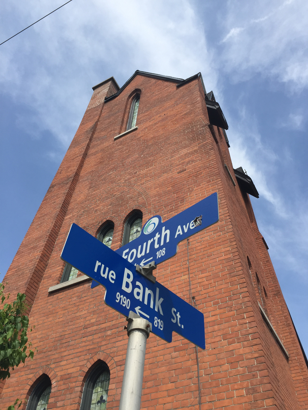
And off we go! To begin I headed straight down Fourth Avenue towards the Rideau Canal and turned south on O’Connor to access the bike lane that runs along Fifth Avenue to the signalized intersection across busy Queen Elizabeth Drive.
Rode north along the Rideau Canal path and crossed at Pretoria Bridge, which has a bike lane.

That took me to the intersection of Hawthorne Avenue and Colonel By, on the east side of the bridge. Things get a little tricky at this spot. If traffic is heavy, as it tends to be at rush hour, I cross to the opposite corner and walk my bike for a short distance along the sidewalk to where it veers left along Echo Drive, like so.
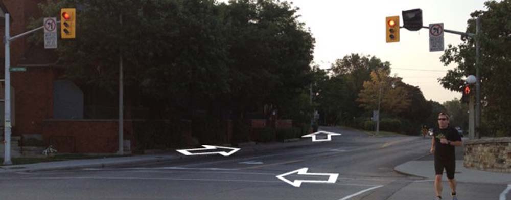
On this occasion, as traffic wasn’t too bad, I chose to ride south along Colonel By Drive the short distance from the intersection to the meridian just before Echo Drive where there is a reserved bike exit lane.

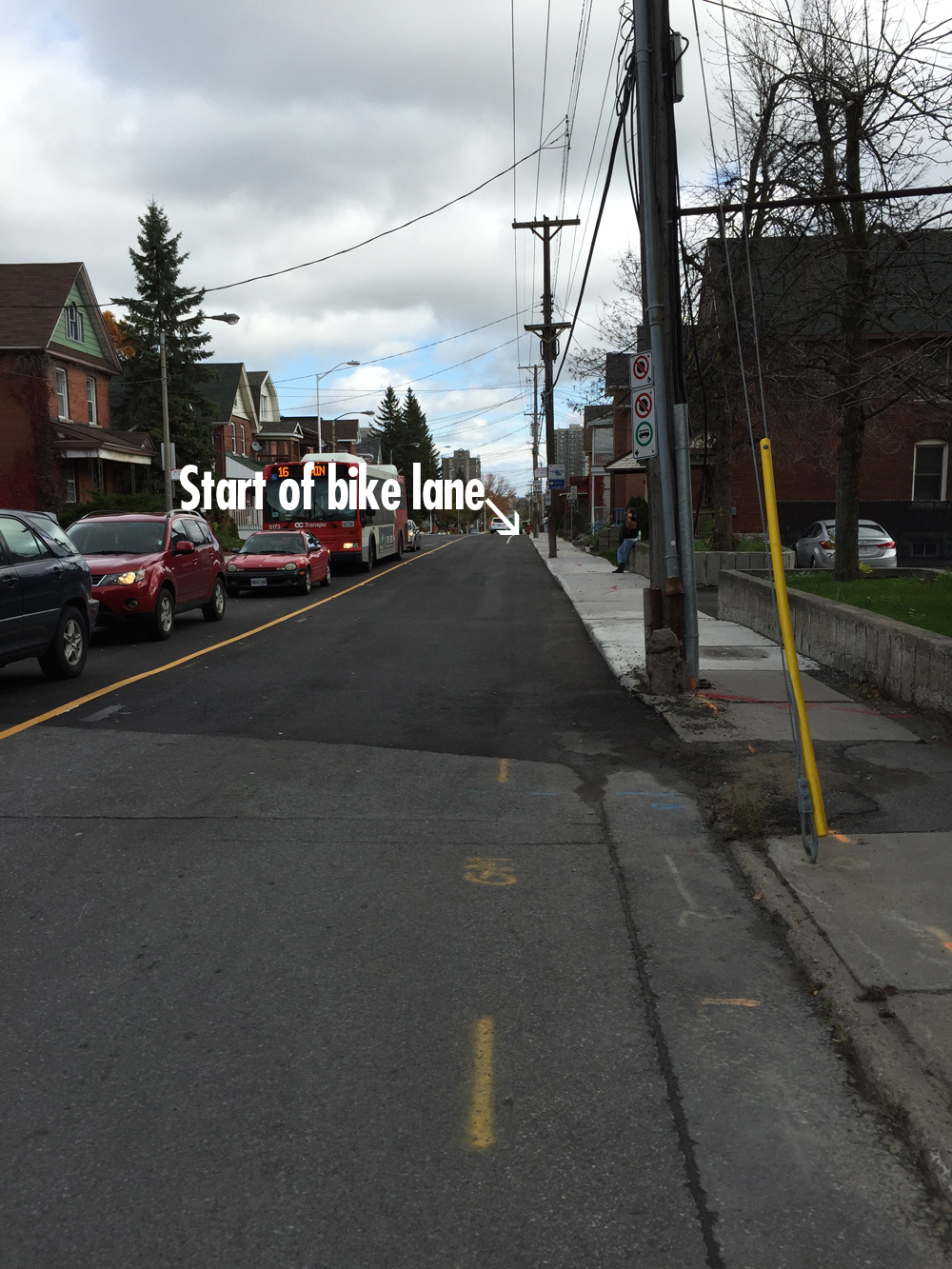
I then turned onto the first street heading east which is Graham Avenue. It has a bike lane.
Graham ends at Main Street. The route jogs a bit to the right before continuing as Lees Avenue across the intersection.

There is a bike lane along Lees heading east, but it doesn’t start for a hundred yards or so beyond the lights at Main.
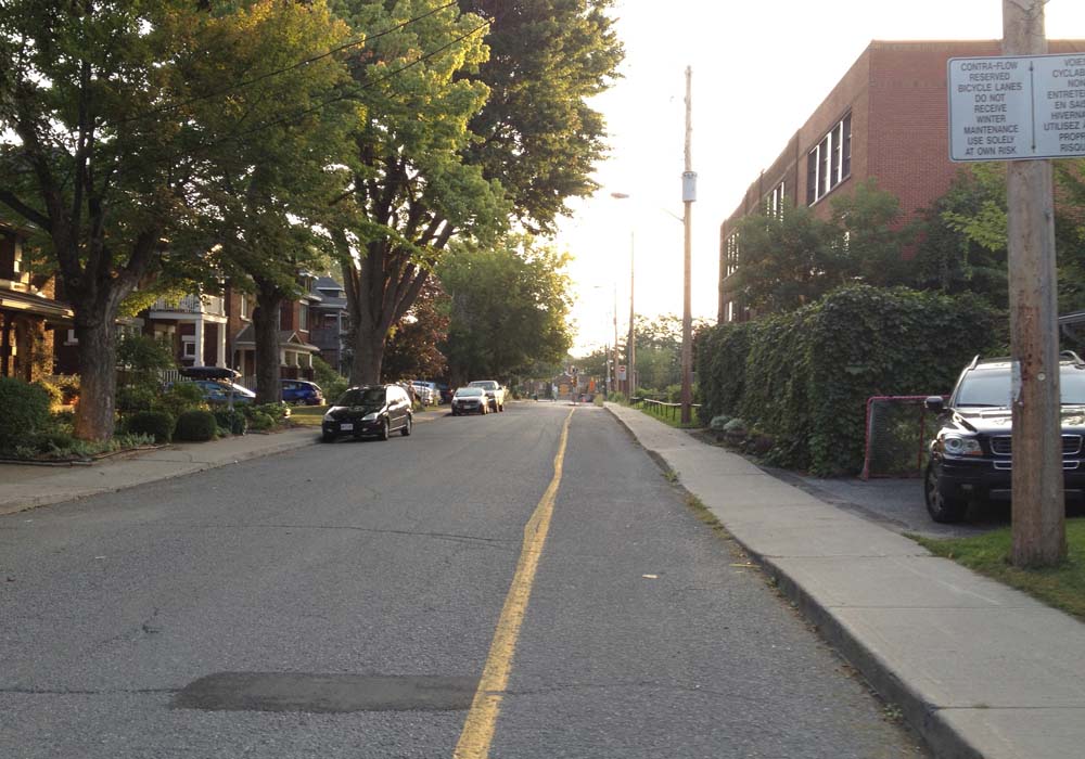
The Lees bike lane abruptly ends at Chestnut Street. Drivers always speed along Lees Avenue so I turned onto Chestnut. This took me to Springhurst Ave. I rode to the end of Springhurst to get on this stone dust path and veered left for a short distance along the edge of the Rideau River as far as the Transitway bridge.

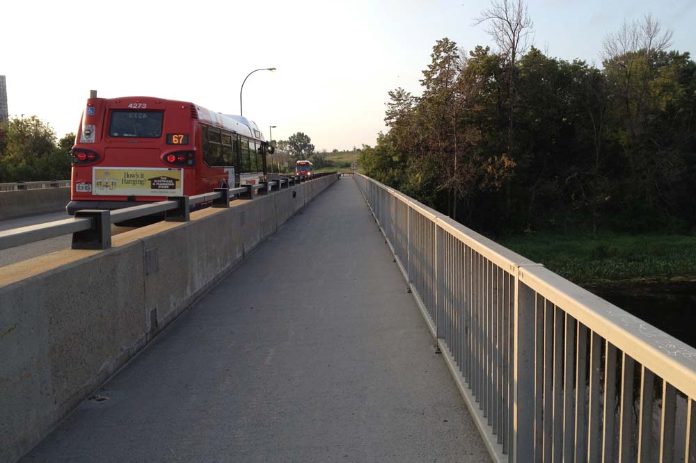
I took the path along the transitway bridge over the river, like so.
Once on the other side of the river I turned right, circled under the bridge, and headed east along the Rideau River Eastern Pathway. I turned off the path at the sign pointing to River Road.

I then turned east onto Presland Road. There’s a pedestrian cross signal to get across the Vanier Parkway.

I continued all the way down Presland which became Hardy Rd.

At the end of Hardy I wove my way north-east a few blocks and crossed St Laurent Boulevard at Donald St. It’s a four lane intersection, but not for too long beyond St Laurent. I then wove my way further north-east along quiet residential streets to Gardenvale Road, off of which there is a short path that takes you to the Aviation Pathway.

I then crossed Aviation Parkway at the entrance to Cité Collégiale and rode along its narrow but adequate bike lane for a short distance as far as the pathway that links to Meadowcroft Crescent, which I took.

Wove my way along quiet residential streets to the three way stop at Matheson Road and Bathgate Drive. On the other side of the intersection there’s a link to a recently created path that goes around massive ominous works of architecture that make up the new CSIS headquarters campus. The buildings can be viewed from the path but, as the huge signs on the perimeter fence clearly indicate, not photographed! So this shot is looking back towards the intersection after crossing Bathgate.
The path ends at Ogilvie road, which I crossed at the lights, and worked my way through the giant mall parking lot to the Blair transitway pedestrian bridge over the Queensway.

The entrance to the transitway is on the east side. The bridge is one level up, accessible by elevator or stairs.

One is expected to walk your bike over the bridge.

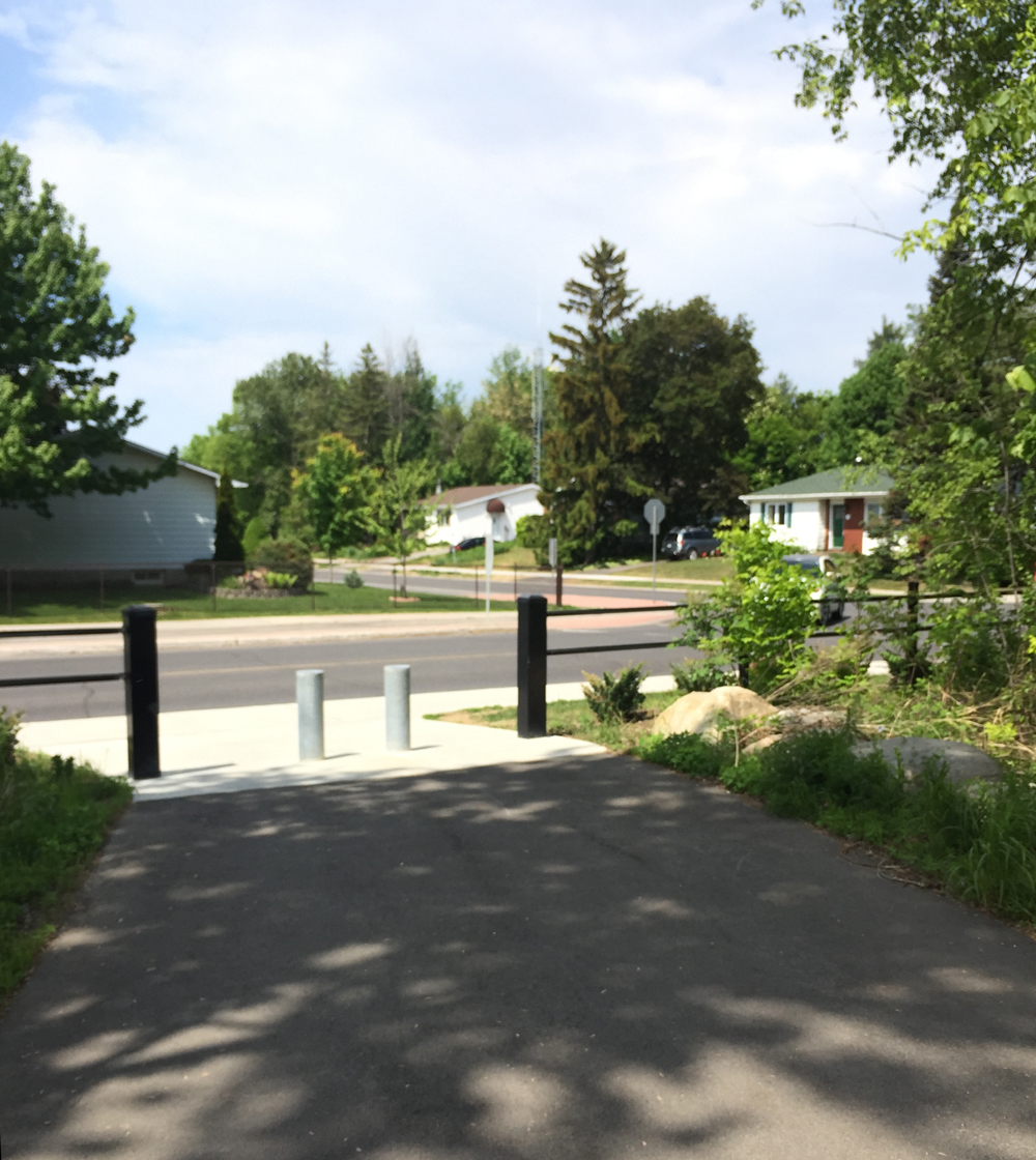
On the south side of the bridge there is a meandering path that crosses Stonehenge Crescent on its way to Innes Road.

I turned east onto Stonehenge Crescent, then through Pineview Estates that came out onto Blair Road very close to our destination the intersection of Blair and Innes.
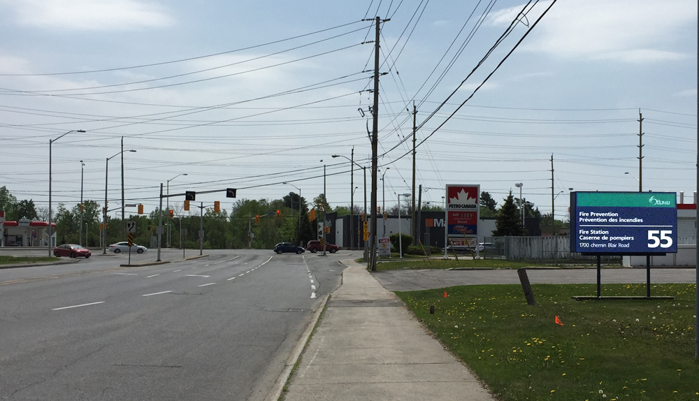
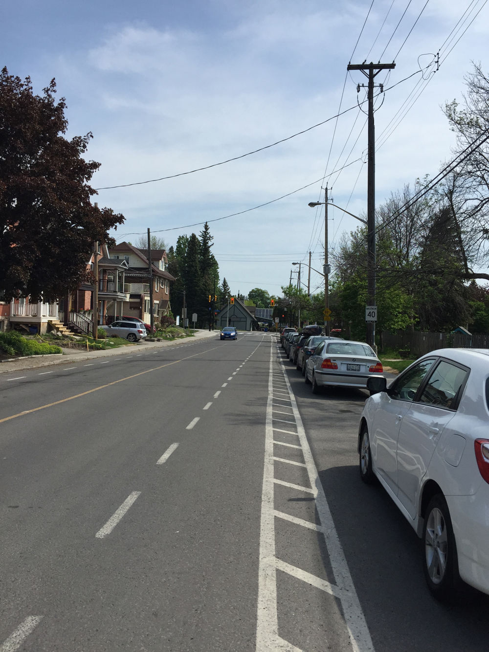
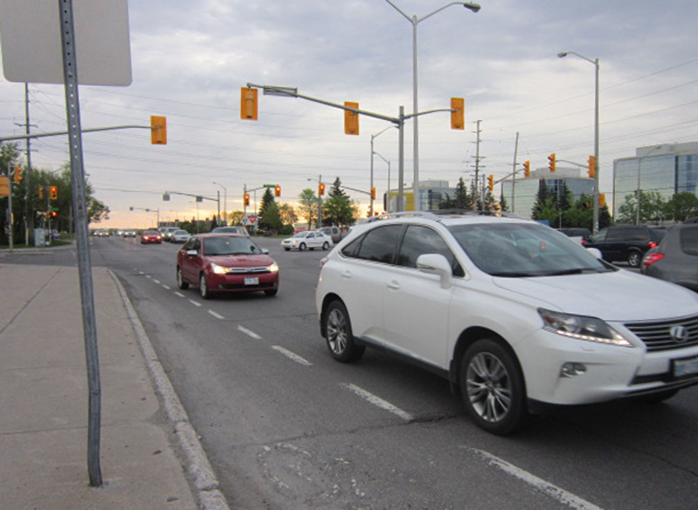
On my way back I followed Ogilvie Road, which becomes Coventry Road on the other side of St Laurent Boulevard, as suggested by the purple line on the above map. Now on first blush one might think it preferable to take this more direct route between Hardy St and the mall parking that leads to the pedestrian bridge. There are bike lanes along Ogilve Road, however Ogilvie is a 4-6 lane highway wannabe. Here’s what it’s like as seen from the bike lane along ogilvie just west of Blair. Lots of trucks too.
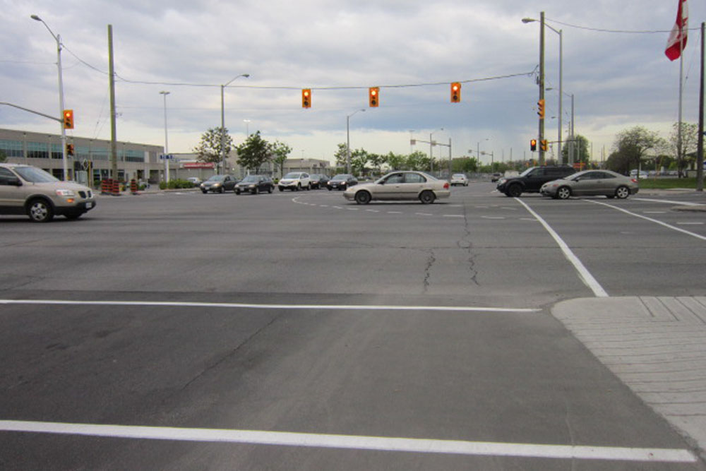
They are building segregated bike lanes along Coventry which will make the section between St laurent and Hardy much safer than it previously was. Whether this will change the intersection of St Laurent and Ogilvie/Coventry from remaining a hornets nest of traffic, we shall see.
The green line on the above map is a slightly different section taken on the way back to avoid crazy Lees Avenue, because it doesn’t have a bike lane heading west.
Et voila!

One thought on “Ottawa bike route from the Glebe to Pineview”