Biking From Lebreton Flats to the RA Centre Without Having to Ride Down Bronson Ave.

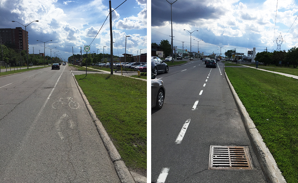
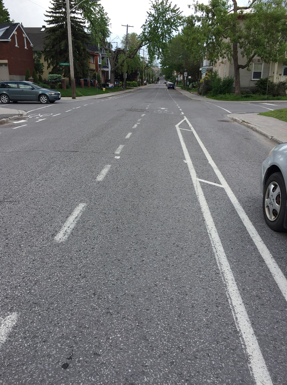
The RA Centre is a great big wonderful exercise facility on the south side of the Rideau River, just west of Billings Bridge. Ironically, it’s a tricky place to bike to. A rider was looking for a route from Lebreton Flats to the RA Centre that avoids having to ride along Bronson. And who can blame him? Bronson is a major traffic artery the explodes into a six lane speedway south of the Rideau Canal. Between the Canal and Carleton University flexi-posts are installed in the summer to reinforce the presence of bike lanes along both side of Bronson, but south of Carleton there’s just a faded white painted line, or none at at all, particularly across long on/off ramps that cyclists are expected to coast through as drivers distractedly jostle each other at crazy speeds in their attempts to merge on and off Bronson.

Here is a description of the route identified by the blue line on the following map, which is similar to a previously posted winter route from the Glebe to the RA Centre, but the lack of ice & snow allows for a few shortcuts on the approach to the RA Centre.

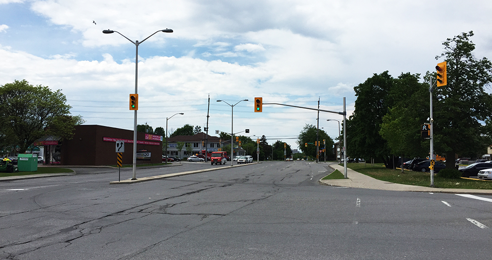
The purple line (an option suggested by an old friend) follows the Rideau River Pathway once across Hog’s Back Falls. This more picturesque and less convoluted option has one tricky spot – getting across very busy Riverside Drive. Best place to cross is at the lights to Data Centre Road. Data Centre Road doesn’t have a bike lane but there is a sidewalk one can follow to the entrance of the RA Centre parking lot.

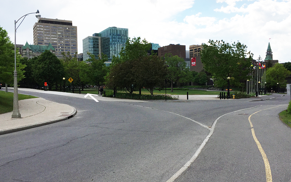
The route begins at the western tip of Lebreton Flats along the Ottawa River Pathway.

Start at western corner of Lebreton Flats

After riding along the Ottawa River Pathway for a short spell I turned inland along the Trillium Pathway that runs parallel to the O-Train tracks.

Exit off Ottawa River Pathway onto the Trillium Pathway

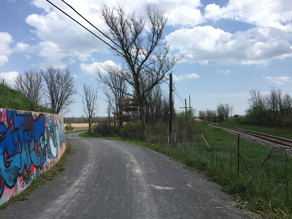
Across Carling Avenue the path goes from paved to gravel and remains so as far as Prince of Wales Drive. There are plans to pave this section, as well as improve the crossing once arrived at Prince of Wales. Until such time, another alternative is to walk along the sidewalk on the south side of Carling for a short distance to the bike paths that cut through Queen Juliana Park, as suggested by the orange line on the above map. This is a particularly good option on the return trip from the RA Centre.

Gravel section of Trillium Path between Carling and Prince of Wales Drive

I turned right along the Prince of Wales, which has a painted bike lane, and followed it a very short distance to the lights that took me across to the Arboretum.

Lights across Prince of Wales Drive into the Arboretum

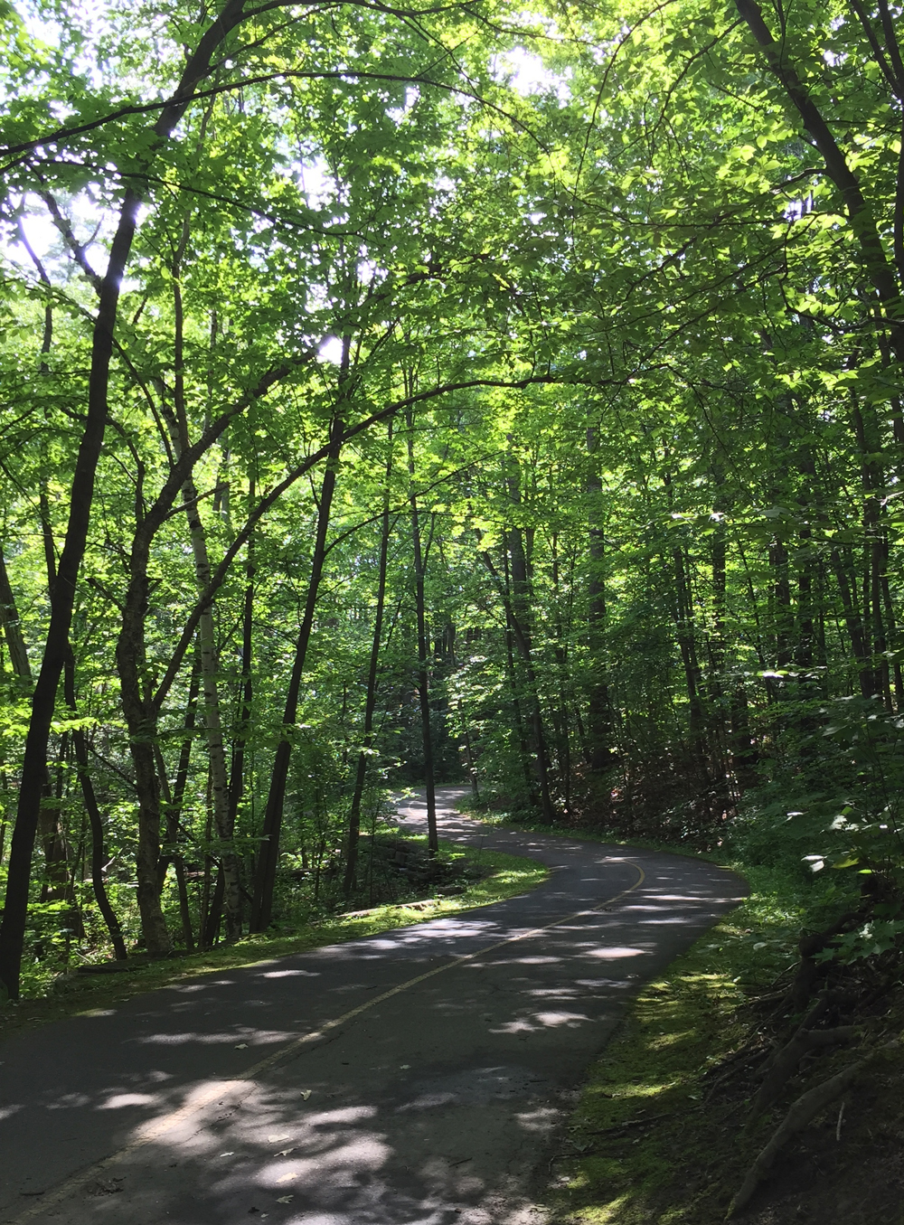
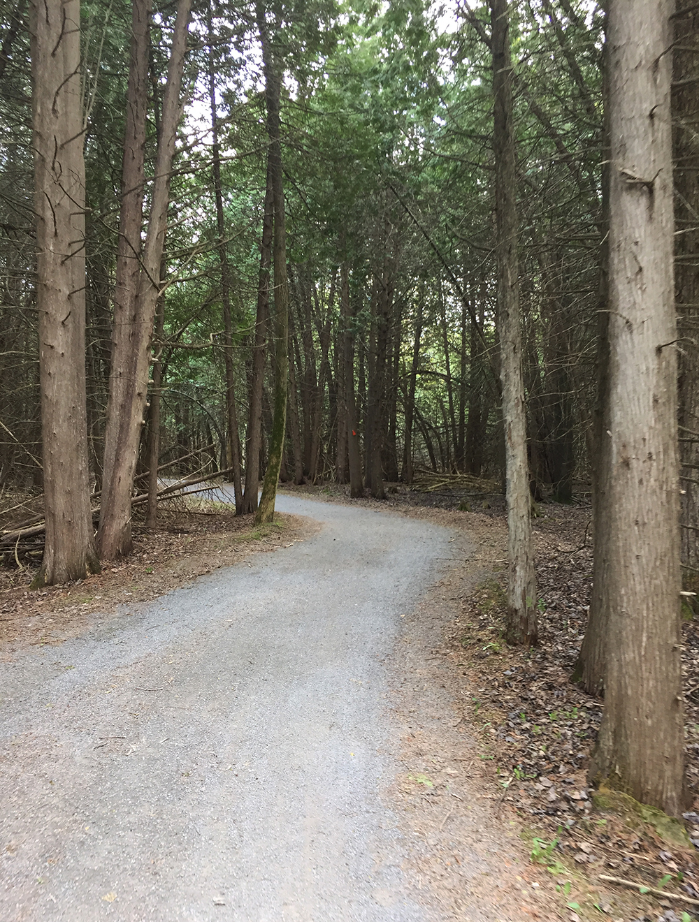
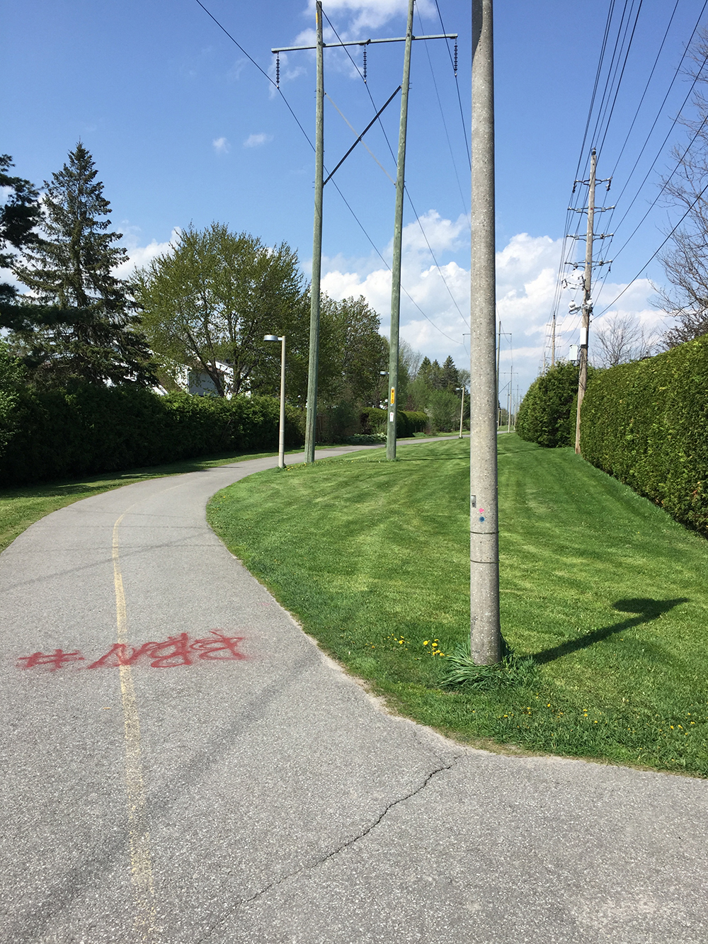
I rode through the beautiful Arboretum along gravel paths which brought me to paved Rideau Canal Western pathway that skirts the edge of the canal up to the Hartwell Locks.

Riding through the Arboretum

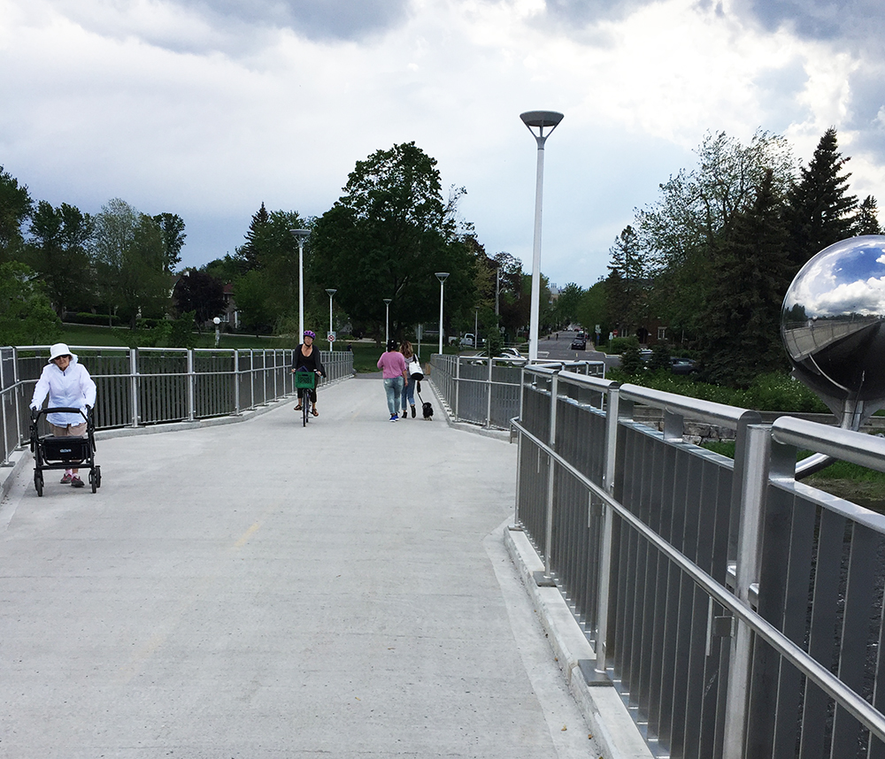
I rode up the hill to the furthest set of locks and carried my bike three steps to be able to push it across to the other side. If this crossing is really crowded I cross the second set of locks, but it has rarely been so busy for me to exercise this option.

Crossing at Hartwell Locks

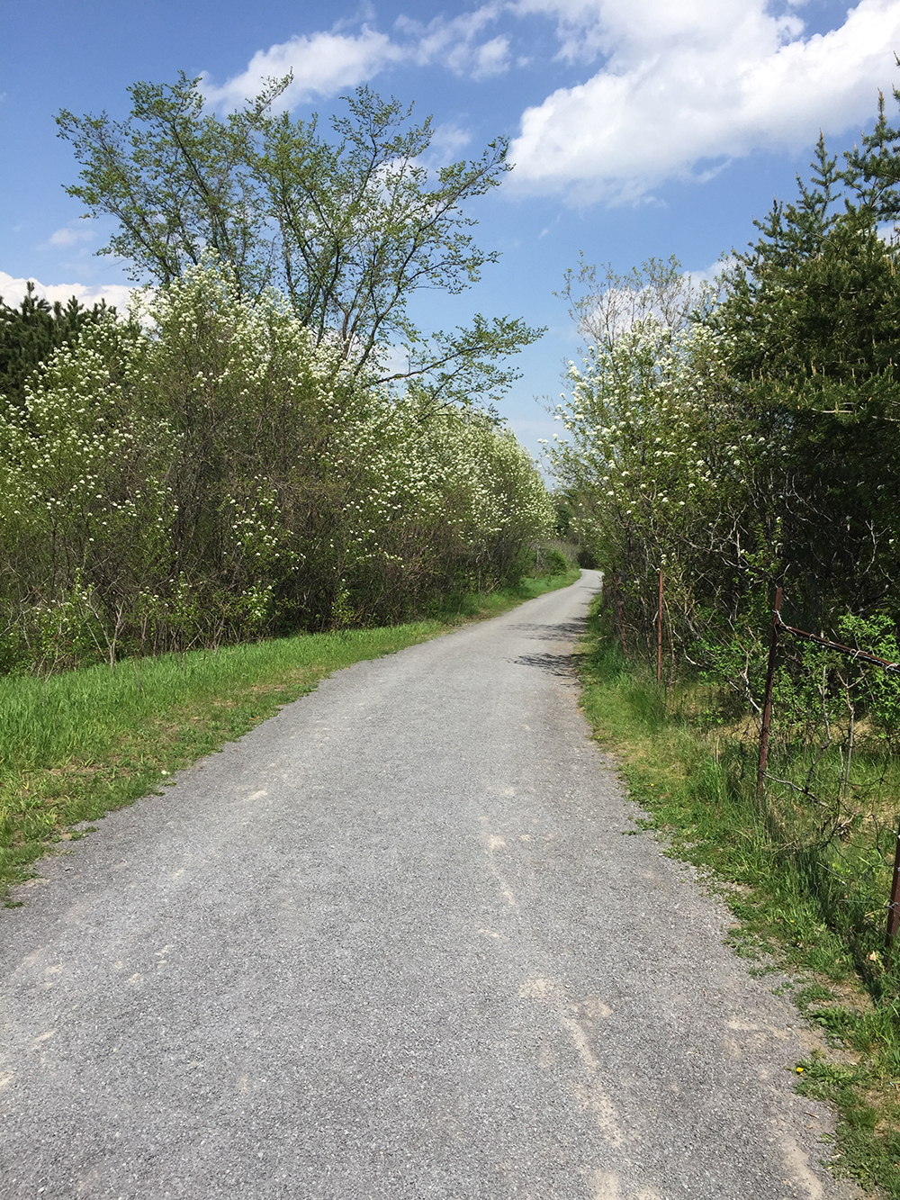
On the opposite side of the canal the path continues all the way up to Mooneys Bay.

Biking along the canal towards Mooney’s Bay

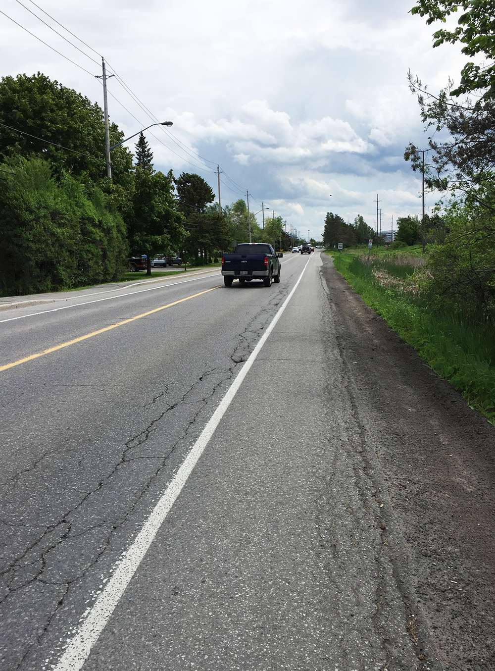
The path curls up and continues to the right alongside Hogs Back Road over the falls. I then continued straight along the path to the intersection at Riverside Drive.

Path alongside Hog’s Back Road

I made my way to the opposite corner from where the path meets Riverside Drive.

Crossing Riverside Drive intersection – view from south/east corner

That took me to a small desire line that cuts kitty corner away from the intersection into the Canada Post campus.

Desire line that leads away from Riverside Drive into the Canada Post campus

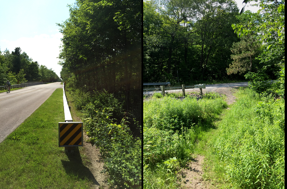
I followed the road around to the opposite north/east corner of the campus to a path, which in turn leads towards a short switch back heading up to Heron Road. Arrived at Heron, I followed the sidewalk to the lights, crossed there, and headed back a short distance to the path on the opposite side.

Path on the north side of Heron

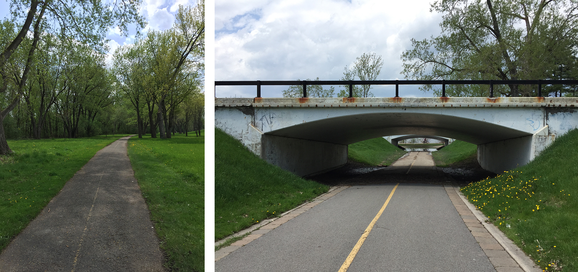
This path curls around the now fenced off grounds of the old CBC headquarters. Part way around the curl there’s a sharp turn to the right that leads to a small pillbox shaped building.

Path to entrance of passageway under Bronson

That’s the entrance port to a very cool underground passageway beneath Bronson Avenue. It requires carrying one’s bike down a few steps. The passageway pops up in mirror fashion on the other side of Bronson.

Passageway under Bronson

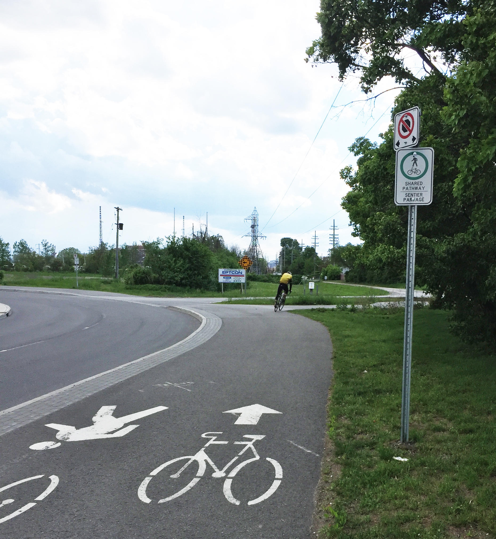
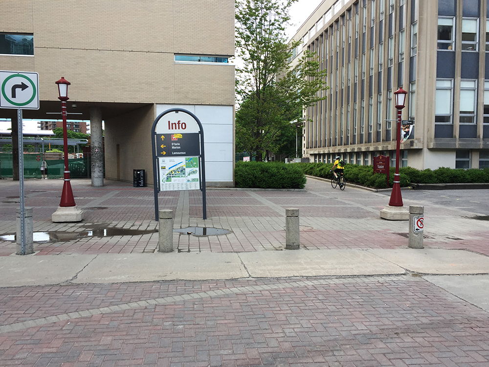
Once popped out the other side, I followed a concrete path that traced the contour of a very interesting modernist building.

Path along contour of Modernist CRA building

This eventually brought me to a paved path that went down to the back of the RA Centre.

Path heading down behind the RA Centre

Once at the bottom of the path one can ride around the building to access any of the many entrances.

RA Centre

Et voila!

Visiting the Strutt House by Bike, Take II !

James Strutt was a Canadian Modernist architect who designed many innovative buldings throughout the National Capital Region. In 1956 he designed and built his family home along Chemin de la Montagne on the western edge of Gatineau Park. Lauded for it’s ingenious use of modular components and the introduction of hyperbolic paraboloids to form the ceiling and roof, the house has won a number of accolades such as the Prix du vingtième siècle by the Royal Architectural Institue of Canada. In the summer of 2015 I visited the The Strutt House for the first time. Little did I know it had just been saved from demolition. The National Capital Commission and the Strutt Foundation, an incredibly dedicated and passionate group of volunteers, had only recently come to an agreement to rehabilitate and preserve this very important modern piece of architecture after it had been vacant for a number of years and fallen into disrepair . The Strutt House has been included in the NCC Confederation Pavillions program and  opened to visitors in time for Canada’s 150th birthday celebration. As part of this program you can book a tour of the house with the Strutt Foundation, which I highly recommend.

The following is an update to the initial 2015 ride and includes a vastly improved approach to the site that avoids having to travel along Notch Road and Chemin de la Montagne.

.
Early Saturday morning four of us met up on the Quebec side of the Portage Bridge where we set out on our adventure. We followed multi-use-paths along the Ottawa River before cutting up along more paths through the southern section of Gatineau Park.

Multi-Use Path heading up through Gatineau Park

Once arrived at the park info kiosk, indicated by the red marker on the above map, we rode along the Gatineau Parkway, which is always in great condition because they close the Parkway in late Fall every year. Subsequently the Parkway doesn’t have to be plowed and salted  which, along with the freezing and thawing cycles throughout the winter, wreak havoc on all our other roads. On Saturday mornings there are lots and lots of cyclists riding along the Parkway so drivers tend to be quite well behaved.

Great road surface along the Gatineau Parkway


After a healthy climb up past the Pink Lake lookout and beyond we arrived at the top of the Notch Road overpass. There’s a short dirt path off to the right just before the overpass that we followed down to access Notch Road.

Path from the Gatineau Parkway down to Notch Road
Path from the Gatineau Parkway …. to Notch Road

Notch Road is a steep narrow incline down to Chemin de la Montagne, however a short distance down from the Parkway there is a an old dirt road with a wide enough opening to push our bikes past the gate.

Turn onto old dirt road off of Notch Road

We rode through the woods along the dirt road until we came to a more recently upgraded section of dirt road that veered off to the left down towards the Strutt House.

Left turn down dirt road to the Strutt House

Once arrived we were treated to a great tour of the house by Titania and Brian of the Strutt Foundation.

The Strutt House

A great ride to a fantastic destination. Can’t get better than that.

Architects on Bikes Checking Out Buildings: Episode 3 – Mark Glassford

Architects on Bikes Checking Out Buildings is a series whereby I invite an architect to suggest a few buildings they admire in the region, then we ride around and check them out! I am very grateful to Mark Glassford for generously accepting my invitation. Joining us was another architect Susan Smith.

Our first building and starting point was the SITE building designed by Ronald Keenberg, located on the southernmost point of the University of Ottawa main campus. It is a located in a tight and unconventional foot print, whose design sympathetically considers all varied approaches, perspectives and vistas. These images are from King Edward Avenue near the main entrance, the approach most accessible by bike.

SITE as seen from King Edward Ave & Mann Ave
SITE entrance on King Edward Ave

We headed to the lights across King Edward Ave to Templeton, and then wove our way along quiet streets through Sandy Hill and Lowertown to get to the Delegation of the Ismaili Imamat, headquarters of the Aga Khan Foundation Canada on Sussex Drive, designed by Fumihiko Maki.

headquarters of the Aga Khan Foundation Canada on Sussex Drive

I managed to check out the interior of the building during this years Doors Open event.

Interior views

We then took the bike path along the MacDonald Cartier Bridge over the Ottawa River to Gatineau, then followed the Voyageurs Pathway east. Once across the Lady Aberdeen Bridge over the Gatineau River we turned right along the path that runs between Rue Jacques Cartier and the waters edge, along which there are multiple opportunities to pause and take in some great views of the Ottawa River.

One of many rest stops along Rue Jacques Cartier

At the northern tip of Rue Jacques Cartier we headed inland and rode along the bike path beside Montée Paiement, which brought us to our third stop, The Library and Archives Canada Preservation Centre. Also designed by architect Ronald Keenberg, this is an incredible climate controlled facility. There is a bike path that rings the building allowing one to admire it from multiple perspectives.

Et voila!

Tracking down the Nepean Bell – A Time Travel Tour by Bike!

Cast iron bells can become unifying symbols for a community. Their distinct clarion call draws together those within earshot towards a shared experience. The Nepean Bell became such a symbol when it was first hung and rung back in 1896 from the old town hall in Westboro. As the seat of government of Nepean Township moved south-west, then east, the bell went with it. This bike tour visits the three locations the Nepean Bell has occupied since its arrival in our region. It is also a ride along a number of wonderful bike paths in the western end of town through varied terrain. The purple line is a return shortcut to get to the starting point.

Our tour begins in front of the old Town Hall building in Westboro located at 345 Richmond Road where the Nepean Bell began its public life. The building was designed by architect Moses Chamberlain Edey and opened in 1896 as the Town Hall building for the Township of Nepean.

Old Town Hall in Westboro. Note the empty bell tower.

The eastern portion of Nepean Township was annexed by the city of Ottawa in 1950, however the old town hall continued to serve as Nepean Township’s headquarters until 1966. Once the construction of new headquarters were completed further west in Bells Corners the township authorities took the beloved bell with them. There they installed the bell on the front lawn in a sculpted tripod base. Each leg was a different height, meant to represent a member of the traditional nuclear family, i.e. mother, father and child. The image of this sculpture became the logo for the City of Nepean until The Great Ottawa Amalgamation of 2001. The logo is still evident on street signs, park signs, etc throughout the former city of Nepean. Note – the name Bells Corners far predates the arrival of the Nepean Bell.

logo
City of Nepean logo

To get to the Nepean Bell’s second home at the intersection of Old Richmond Road and Robertson Road in Bells Corners I headed over to the path that runs along the south side of the Sir John A Macdonald Parkway and followed it as far as the intersection that passes under the parkway and onto the Ottawa River Pathway.

Path along Sir John A. MacDonald Driveway…. and underpass to get to the Ottawa River Pathway.

I followed the Ottawa River Pathway all the way to Britannia Bay. There I crossed Carling at the lights and got on to the Watts Creek Pathway. Where Watts Creek Pathway crosses Holly Acres Road is a bit tricky, as the path continues a short ways up quiet Aero Drive. This link is barely visible from Holly Acres Road.

White arrow shows where Watts Creek Pathway pathway continues a short way Aero Drive, as seen from Holly Acres Road

Watts Creek Pathway meanders through a wooded area before crossing Corkstown Road. Once across Corkstown Road the path follows a new paved section that goes along the edge of some baseball fields to get to lights across Moodie Drive. This new section of path is a great improvement on the previously poorly maintained path that was regularly flooded.

Section of Watts Creek Pathway from Corkstown to Moodie

I continued along Watts Creek Pathway for a spell before turning on to the Greenbelt Pathway West. The Greenbelt Pathway is a packed gravel surface that rolls through a wonderful assortment of woods and fields before and after it crosses Corkstown Road and goes under the Queensway.

Greenbelt Pathway just south of the Queensway
Greenbelt Pathway meandering through cedars

The Greenbelt Pathway West meets up with the Trans-Canada Trail which I followed to Fitzgerald Road. I turned right onto Fitzgerald, then left on to Robertson Road at the lights. Robertson Road is a busy street with lots of traffic. It also has a bike lane between Fitzgerald and Moodie Drive.

Bike lane along Robertson Road


I turned right onto Moodie which also has a bike lane that goes only as far as Hadley Crescent. I rode along Hadley Crescent, then Tanglewood Drive, then Old Richmond Road to get to the second stop of the Nepean Bell at the corner of Robertson Road and Richmond Road. The building which was built to serve as the township headquarters in 1966 only lasted until 1988 when it was demolished and replaced it with a mini-mall. They had already moved to the Nepean City Hall at 101 Centrepointe Drive. Here’s a rendering of the building as it appeared before being torn down.

 
Rendering of Nepean City Hall located in Bells Corners

And here’s what the site looks like now.

Second stop of the Nepean Bell – 3825 Old Richmond Rd

I then wove my way through residential streets of the Lyndwood Village neighbourhood, which has a fine selection of mid-century-modern home designs.

Lovely Lyndwood Village

This brought me to Bruin Road beside Bell High School. Bruin Road gets you over highway 416 to the Bruce Pit. I took the path around the northern perimeter of Bruce Pit.

Path around Bruce Pit

Next I dipsy-do’d along a combination of paths and residential streets to get to the bike path that cuts diagonally along a hydro pole right-of-way to Centrepoint Drive.

Centrepoint Pathway

Once arrived at Centrepoint Drive, I rode around to the front of the old Nepean city hall to discover the Nepean Bell installed in the middle of a mini round-a-bout. I gave it a ring and it sounded great!

Nepean Bell resting place

Et voila!

Bike Commute From Cardinal Heights to Downtown Ottawa

Here’s a bike commute route that starts at the corner of Blair and Dunham St in the neighbourhood of Cardinal Heights and makes its way downtown to the corner of Laurier and Kent. The purple line is an option that avoids busy Ogilvie Road but does include a few challenging spots of its own that are described lower in the post.

Corner of Blair Road and Dunham Street. Et c’est le départ!

Blair Road is a two lane straight-away with painted bike lanes along both shoulders. I headed south on Blair and turned right on to Ogilvie Road.

Bike lane along Blair Road

Ogilvie Road is a very busy four lane east/west artery  with painted bike lanes that traverse a number of shared merging bus stop lanes and extended turning lanes at each major intersection.

Bike lane along Ogilvie Road.

Beyond St Laurent Boulevard the separated bike lane is raised and becomes a two way lane across from the entrance to the St Laurent shopping centre parking. Just beyond the shopping centre I turned right onto a link that leads to Hardy Avenue.

Raised path along Coventry Road and exit to Hardy Avenue (where the cyclist is heading)

I continued west on quiet Hardy, which morphs into Presland Road, a residential street that many other cyclists follow because of the dedicated cross signal across the Vanier Parkway.

Presland bike & pedestrian crossing at Vanier Parkway

Once across the parkway I continued along Presland Road West then turned right onto North River Road before taking a left onto Prindiville St. Prindiville dead ends for cars but transitions into a link to the Rideau River East pathway.

Link at the end of Prindville St…….to the Rideau River Pathway

Next it’s up and over the Rideau River along the Adawe bridge.

Over the Adawe Bridge

Then, straight along Somerset East to the University of Ottawa campus. There’s a bit of a hill just before King Edward Avenue.

Biking along Somerset St East

The route continues under Nicholas then across Colonel By Drive at another fine set of dedicated pedestrian/cyclist traffic lights.

Accessinig the Nicholas St underpass where Somerset dead ends on the Ottawa U campus (follow the cyclist)

I turned right to get up and over the canal along Corktown bridge.

Corktown Bridge over the Rideau Canal

On the other side of the bridge I turned right on to the Rideau Canal Western Pathway.

Biking along the Rideau Canal Western Pathway

After riding under the Laurier bridge I turned left and cut through Confederation Park to get to where the segregated bike lane along Laurier begins at Elgin Street.

Accessing Confederation Park (see white arrow) from the Rideau Canal Western Pathway

I followed the Laurier Bike Lane to our final destination, Laurier and Kent.

Made it! Kent & Laurier

OK, more about the purple route. For many cyclists, riding along a four lane major artery road with nothing but painted white lines designating a bike lane, often faded and barely visible, does not feel safe. Particularly at critical vehicule driver decision nodes, such as approaching major intersections where the painted line isn’t a designated lane but a shared transition space. The Ogilvie Road bike lanes fit this description. As such, the route described by the purple line on the above map avoids having to ride down Ogilvie Road. Here is a short description of this option.

We begin once again at the corner of Blair and Dunham St. A short distance north along Blair I cut west through the very calm grounds of the National Research Council and then along quiet roads through the campus of Cité de la Colegiale. Unfortunately at the edge of campus there are no traffic lights to help get across the Aviation Parkway to get to the Aviation Pathway.

Crossing the Aviation Parkway at the end of La Cité Private.

A short distance along the Aviation Pathway I followed a short path that went goes through an opening in the fence to access streets heading west. Minor hick – the path can get a little muddy during rainy spells.

Path through fence off of Aviation Pathway

I then zig zagged along mostly residential streets to get to St Laurent Boulevard, which were mostly calm, except the couple of blocks along Cummings. Not sure why lots of hurried traffic heads down Cummings. My guess is it is used as a short cut through from Montreal Road to Ogilvie Road.

Traffic along Cummings Street

Crossing St Laurent Boulevard along Donald St is pretty lousy. Cars dart out of mall parking lots on either side of Donald just before St Laurent, and rush through the turning lanes on and off St Laurent. At peak traffic periods I would be tempted to walk along the sidewalk from Elaine Drive, across St Laurent to Alesther Street.

View down Donald St towards St Laurent, the second set of traffic lights. The first set of lights are to access mall parking lots.

Beyond St Laurent the purple route continues along residential streets to link up with the blue route at Hardy Avenue.

In summary, while the purple route manages to avoid Ogilvie Road, it does have a few challenges, particularly crossing St Laurent Boulevard.

Et voila!