Biking to MEC from Centretown

Mountain Equipment Co-op is one of many great places to shop for biking equipment within the region. I ride there often throughout the year from Centretown. Here’s how. Blue line is the route I follow to get there. Purple lines are slight deviations I take on the way back.

.
From the intersection at Primrose and Cambridge St N I head west. Primrose comes to a dead end just beyond Empress Avenue, however there is a paved path that continues down behind the Dominican University College building and joins Upper Lorne Ave.

Heading towards Primrose dead end beside the Dominican College....
Down Primrose beside the Dominican College….
... which turns into a path.
… which turns into a path.

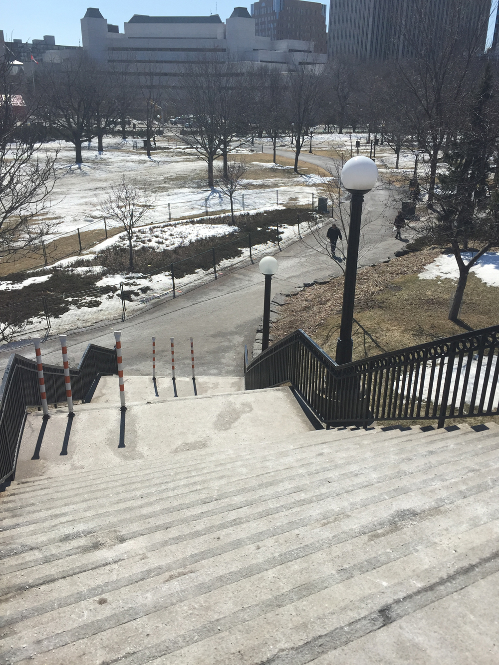
Just before the path turns on to Upper Lorne there is a metal flight of stairs down which I carry my bike and continue riding along lower Primrose heading west.

View from the top of the stairs

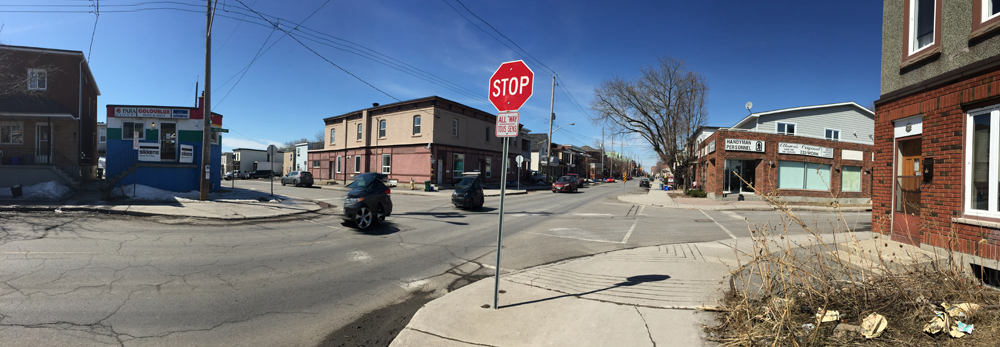
I then cross Booth at the signalized crosswalk, and work my way over to Elm St which also has a signalized crosswalk across busy Preston Street. Halfway down Elm within the block west of Preston the road is blocked off to car circulation, so I do a little dippy-do on the sidewalk to get around this barrier.

Getting around the Elm St barrier

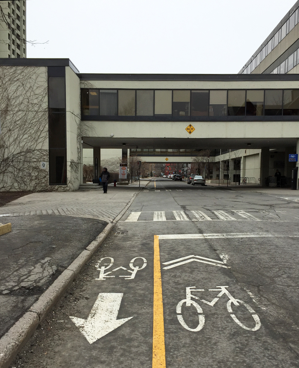
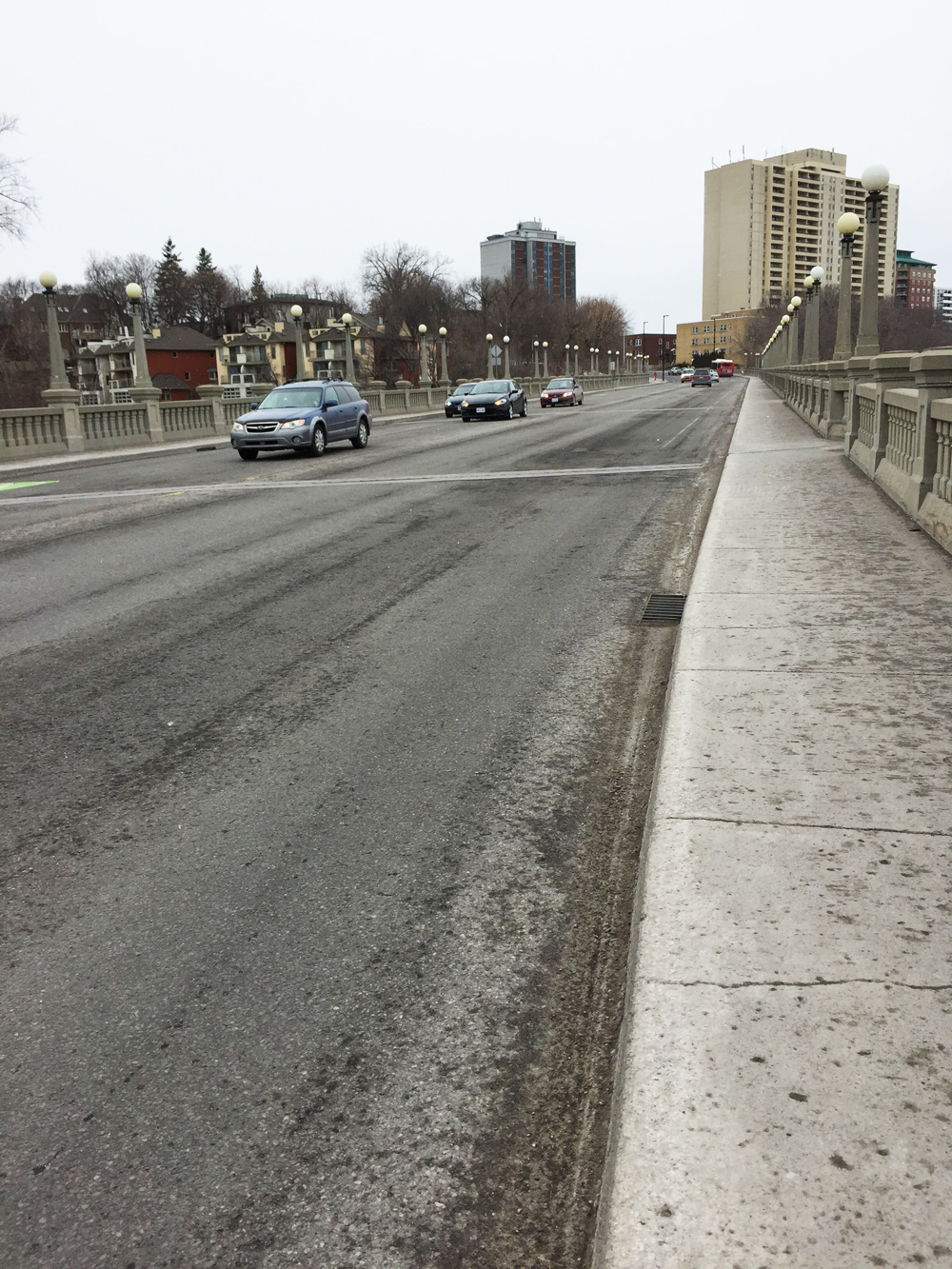
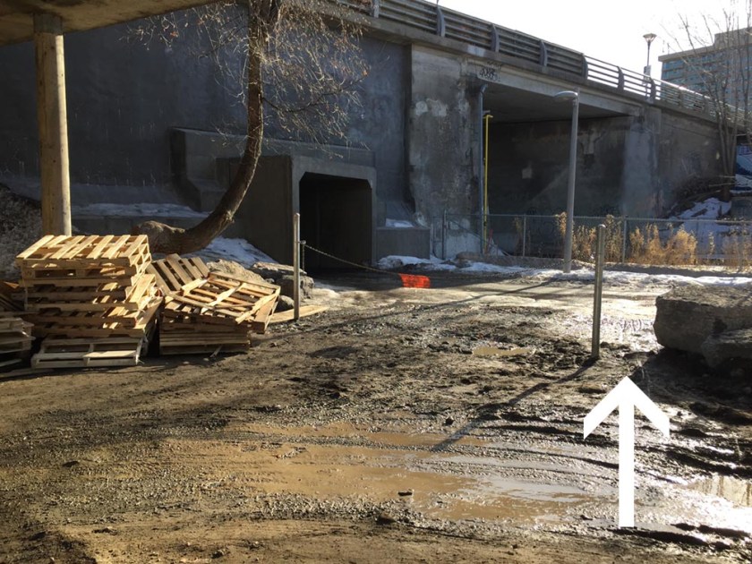
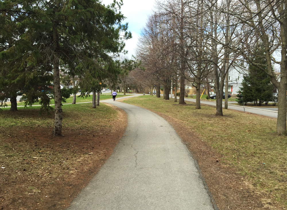
I access the Trillium Pathway that runs along the O-Train, by cutting through the parking lot at the south end of the City Centre building, and then turn south onto the pathway. Getting across the north bound lane at this access spot is a bit tricky as it’s close to the tunnel opening under Somerset Street, making it difficult to anticipate riders heading north through the tunnel. To avoid this being a problem use the access furthest away from the tunnel opening, as shown on the photo below, which allows me to see if any riders are coming before crossing to the other side of the path. (UPDATE 2018: There used to be big boulders across this link (see second photo below). They have been replaced with posts and a chain (see 1st photo below. Access to the Trillium Pathway is now via the gap between the path and the rock. Yah, it’s pretty gross when it’s muddy.)

access to Otrain path
Access to Trillium Pathway from City Centre heading south, 2018 
Accessing the OTrain Path from City Centre, heading south
Accessing the Trillium Pathway, pre-2018

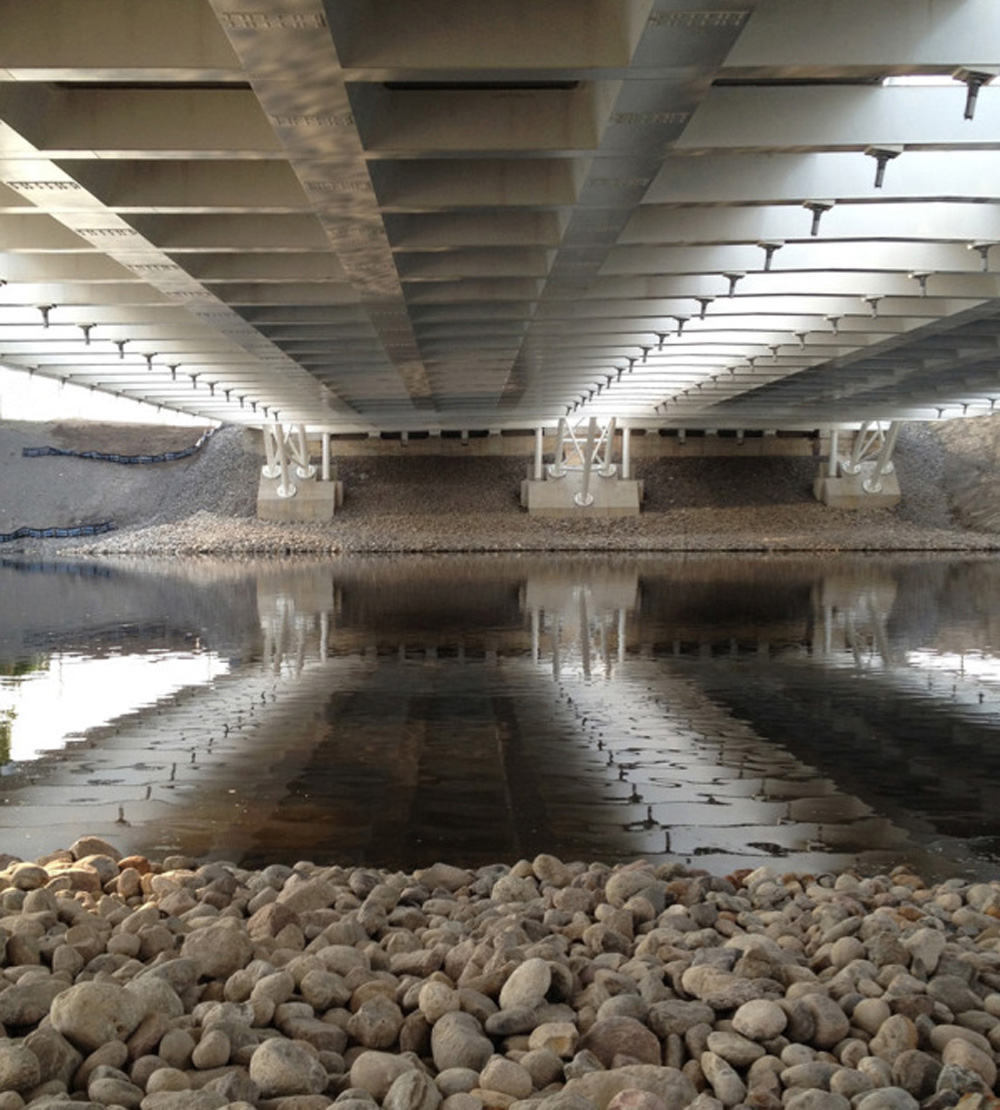
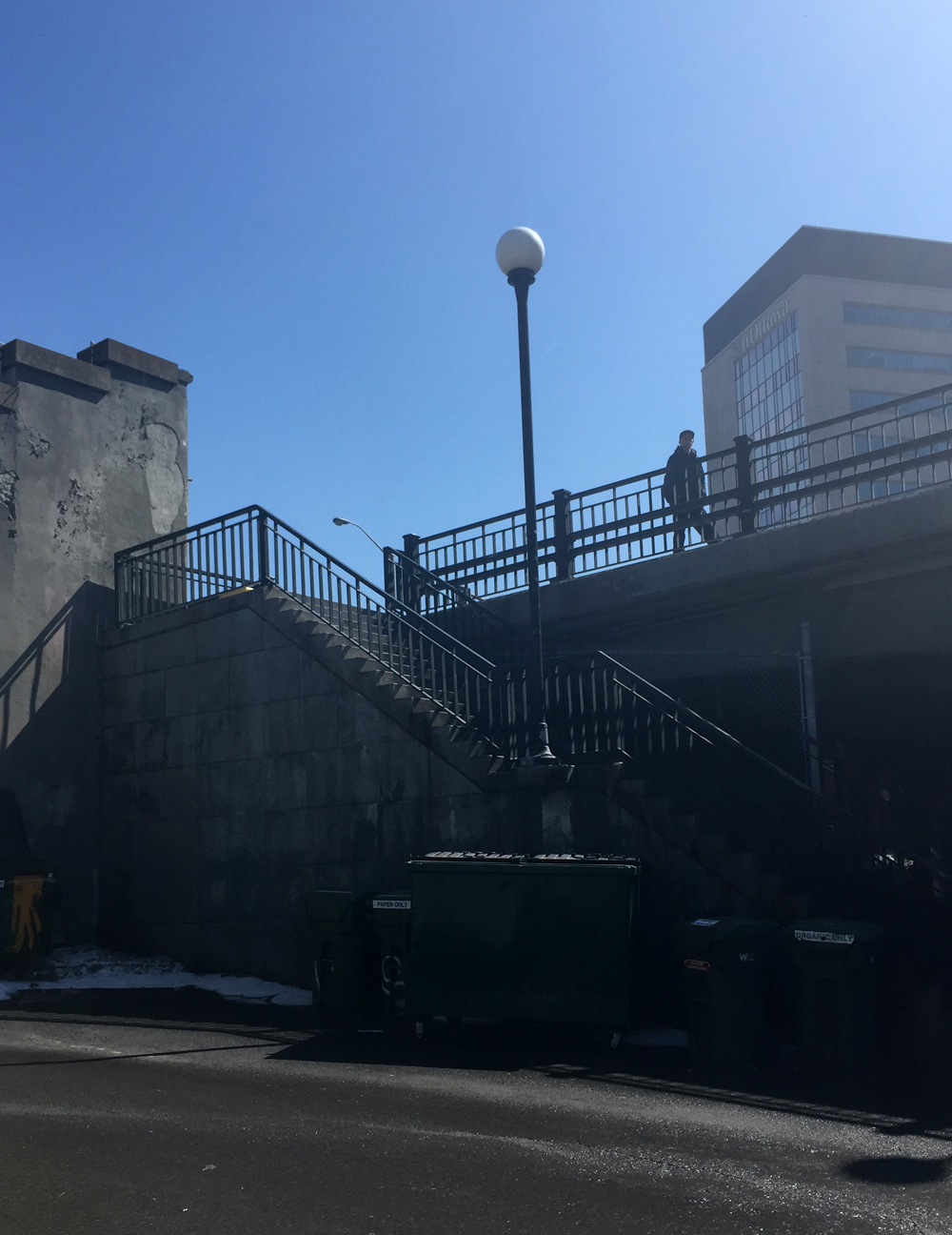
I then take the path under the tunnel and then up the bike path to Somerset St bridge over the O-Train tracks. I cross Somerset to the bike lane on the opposite side and head west. unfortunately the bike lane ends just on the other side of the bridge. Somerset St (which becomes Wellington St then Richmond Road) is a busy narrow traffic artery without any designated bike lanes between Breezehill Avenue and Woodroffe Avenue. I avoid riding along it as much as possible. Where the bike path over the bridge ends there’s a mini flight of stairs to the right down to Breezehill Avenue with a ramp to help push your bike.

End of bike lane at north end of Somerset bridge over the OTrain
Stairs from Somerset to Breezehill Ave N

Breezehill turns west and becomes a calm section of Wellington St (It’s only beyond Garland St that Wellinton becomes the busy traffic artery previously mentioned). I turn north on Garland for one block to get to Armstrong St which I follow west for a nice stretch as far as Hinton Ave. Armstrong is a quiet, mostly residential street.

View down Armstrong
View down Armstrong St

I turn north on Hinton to get to Spencer Street which has a signalized crosswalk to get across speedy 4-lane Holland Avenue. Spencer is also a quiet residential street that continues west.

Next challenge is choosing a way to get across Island Park Drive. It’s a major commuter road to and from the Champlain Bridge over to Gatineau. I turn south onto Gilchrist Avenue and cross Wellington at the lights to Granville Avenue. Gilchrist and Granville aren’t perfectly aligned, however there is a garage parking lot at the south/east corner of Wellinton and Granville I cut through which compensate for this slight misalignment.

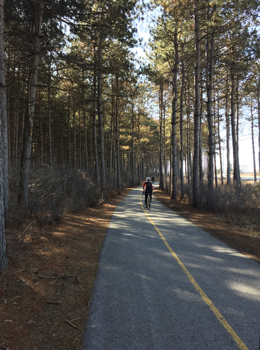
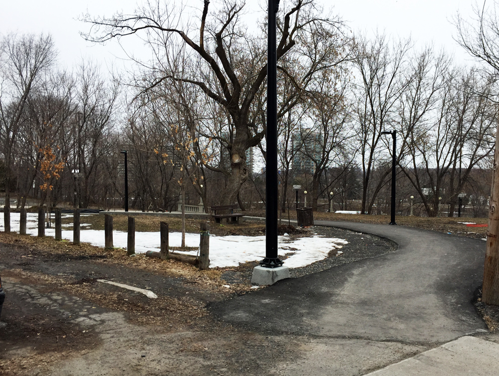
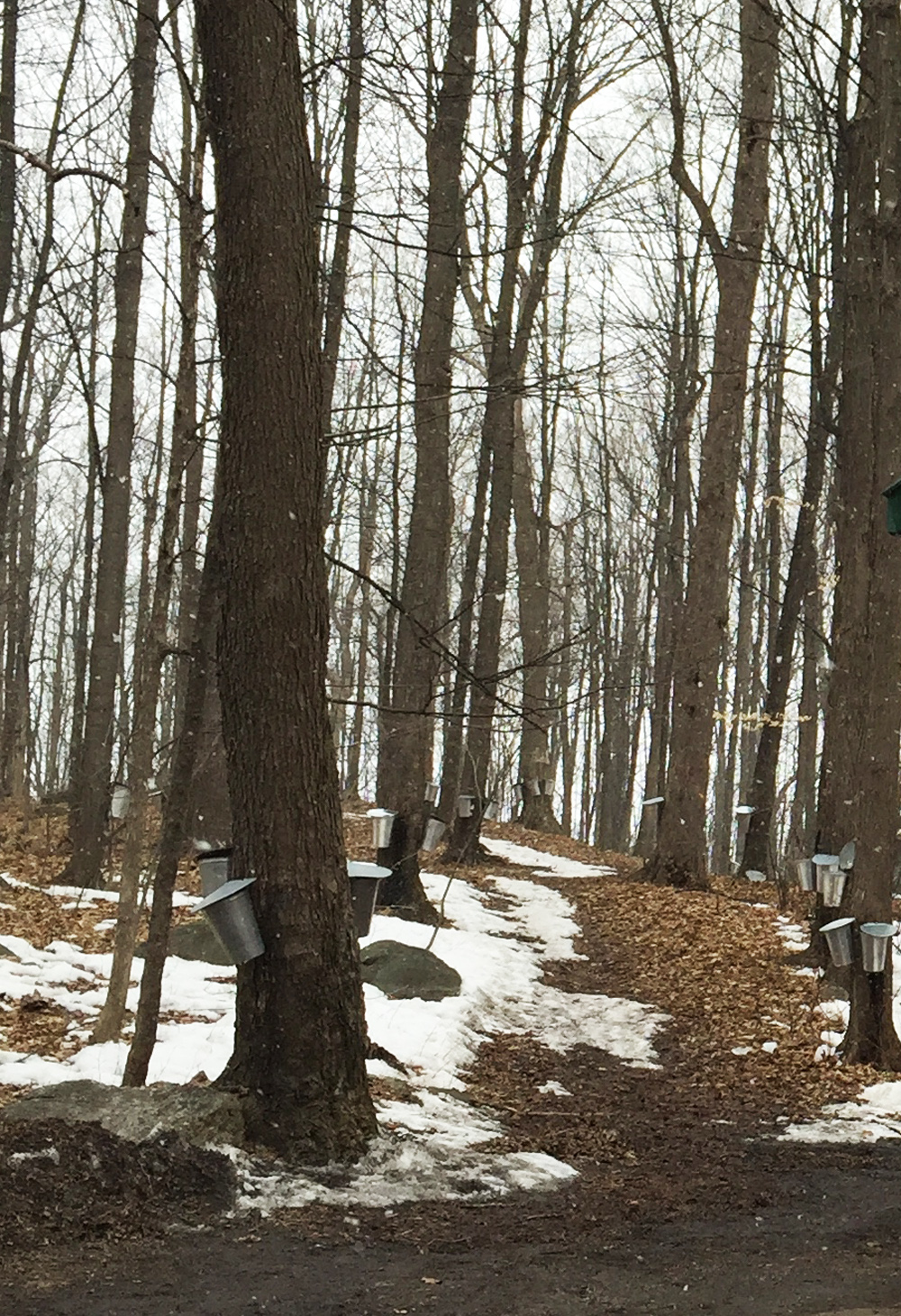
Then it’s up Granville to the wonderful Byron multi-use path which I follow west all the way to Churchill Avenue. It’s cleared all winter.

Byron Multi-Use Path

Once at the intersection of Churchill and Byron I either ride north along Churchill the short distance it takes to access Danforth heading west, or I cross at the Byron/Churchill intersection and walk my bike along the sidewalk to get to Danforth, all depending on how busy traffic is along Churchill.

View from Byron and Chrichill over to Danforth

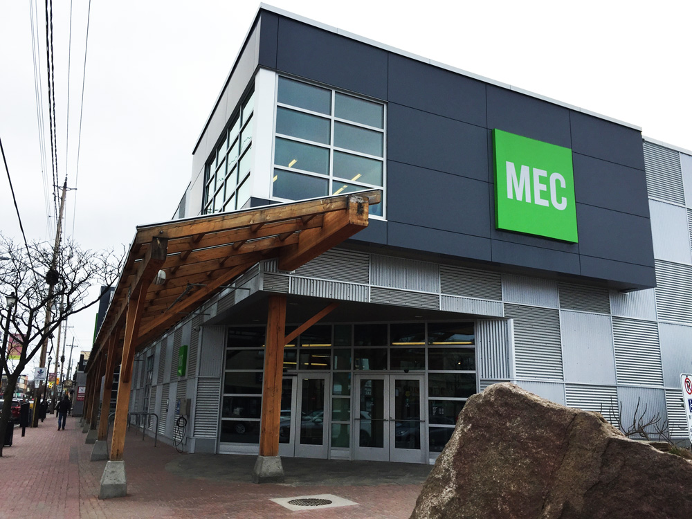
Then it’s a short ride down the hill to get to the back entrance to the MEC parking lot. I ride through the parking lot to the front of the building where there are lots of bike racks. These racks are covered and cleared throughout the winter.

Entrance to Mountain Equipment Coop

On the way back I exit the MEC parking lot at the back, turn west on Danforth for half a block to Roosevelt, which gets me onto Byron. Byron has a bike lane heading east between Roosevelt and Churchill.

Bike lane along Byron heading east up to Churchill

I retrace my ride most of the way home, except for a short section in Hintonburg where I ride along Wellington. I avoid Breezehill heading east because it’s hard to see cars speeding along Bayswater, as the two streets meet on the inside of a curve when heading east on Wellington.

I followed this same route to and from Mountain Equipment Co-op this winter as both the O-train path and Byron path were regularly cleared.

Et voila!

Springtime Sunday Ride from Ottawa to Manotick

Manotick is a community first settled in the 1830’s located 30 km’s up the Rideau River. This past Sunday I and a group of fine people rode there. It was a great outing. Blue line on the following map shows how we got there. Green lines are variations we took on the return trip. Purple and orange lines are suggested minor deviations to the chosen routes.

JP and I started off at 8:30 am from the Chinatown Arch in Centretown.

Away we go!
Away we go!

We headed down Somerset to get on the O-Train Path, over to Prince of Wales Drive, and through the farm before joining the Experimental Farm Pathway where we met up with three more riders -Glenn, Heather and Chris. We cut south from the Experimental Farm Pathway through a series of paths and streets to Capilano Drive, a more detailed description of which can be found within a previous post, by clicking here.

We headed south down Birchwood off of Capilano and continued straight through back ends of  mall parking lots, mostly empty on Sunday mornings.

Link at end of Birchwood to mall parking lots.

To avoid having to ride through the parking lot, there is also the option of taking the path up behind the parking lot, as suggested by the orange line on the above map. This path starts off as gravel before becoming a well trodden desire line that ends at Meadowlands Drive. A hundred meters to the right along Meadowlands takes you to the lights that leads across to Grant Carmen Drive.

path behind Merivale malls
Path behind Merivale malls (May 2017- building is completed)

We then kept heading south along Grant Carmen Drive which had very little traffic, all the while avoiding crazy dangerous strip-mall Merivale Road, one block west.

Grant Carmen Drive
Grant Carmen Drive

South of Viewmount Drive the road morphs into a multi-use path that cuts through to Colonnade Road.

Grant Carmen Drive ends, path begins

We rode along Colonnade road to Merivale Road. UPDATE – Fall 2015: A bike lane has been installed along Colonnade Drive between Merivale and the path – a huge improvement to the shoulder less section it once was.

Colonnade Road approaching Merivale Road
Colonnade Road approaching Merivale Road (new bike lane being installed to the right)
July 2015 update - Bike path going in along Colonnade
July 2015 update – Bike path going in along Colonnade

We rode along dreaded Merivale Road to get under the train tracks, however there fortunately is a paved portion between the curb and the sidewalk one may to choose to ride along to get to Woodfield Drive on the other side of the tracks.

Technically a 'Service Strip', Literally a 'Boulevard', Legendarily a 'Kill Strip' 'cause no green can grow there so gets paved
Technically known as a ‘Service Strip’ or ‘Boulevard’, Legendarily called a ‘Kill Strip’ because nothing green is able to grow there, so it gets paved over

Just off Woodfield there’s a path that runs all the way west to the signalized Hunt Club Road crossing. It’s a shaded path that isn’t cleared in the winter, so we encountered a few patches of slush and ice. We decided to ride along quiet Benlea Drive that runs parallel to the path.

First encounter with slush & ice

The path continues behind the Nepean Sportsplex, then runs south along Woodroffe. The paths we followed all the way from the Sportsplex to and through Barrhaven were cleared all winter so no slush to worry about.

Woodsy portion of path along Woodroffe

We crossed Woodroffe and continued along the path on the north side of Fallowfield Road for a short distance before crossing Fallowfield at Via Park Place. We got on to the path that continues southwest then south beside the transit way all the way to Berrigan Drive.

Followed a road link between Berrigan and Strandherd Drive. Rode west on Strandherd, south on Greenbank, then east on Marketplace Avenue through the big box mall parking. East end of the parking there’s a short path link to roads that join up with the bike lane that runs along Longfields Drive.

In retrospect I would recommend turning off the path and onto Longfields further north as suggested by the purple line on the above map, thus avoiding busy Strandherd, Greenbank and the big box store parking lot.

After riding down Longfields and crossing the Jock River we joined a gravel path that weaves it’s way in and through varied wooded areas along the shore the river. This path went under Prince Of Wales Drive and then continued along the Rideau River. We had to contend with a few remaining minor slushy and icy patches along the path but that just added to the sense of adventure.

gravel path1

Riding the gravel path beside the Jock River

Bit of a challenge crossing the stream in Beryl Gaffney Park, but nary a soaker was had!

Crossing the stream
Crossing the stream

We rode along quiet streets and paths the length of Long Island, then crossed back onto the west side to seek out the French Café, where a colleague and friend of mine, Judy deBoer is showing some of her paintings. JP had to head back after grabbing a snack, while the rest of us settled down for a yummy treat and the biggest cappuccinos I’ve ever seen.

French Café in Manotick

Heather plotted a great route for the return journey which included a short side trip that rode a local dam.

Checking out the dam

We had hoped to ford the stream that runs through Gaffney Park at another spot closer to the Rideau but the walking stones were completely submerged. It’s a great short portage in dryer seasons.

Downstream crossing, Spring flooded... but très Zen in the summer
Downstream crossing, Spring flooded… but très Zen come summer

Our return journey also took us further down the Rideau River along a path that goes under the fabulous Vimy Memorial Bridge.

View from under the bridge

On the north side of the bridge the path turns into a wooden boardwalk that weaves it’s way through the Chapman Mills Conservation Area. Lots of pedestrians on the boardwalk so be prepared for a slow leisurely pace through this area.

Boardwalk through the Conservation Area

We pedalled along quiet Winding Way before cutting inland through quiet residential streets and parks before joining up with the bike path that runs along Woodroffe Avenue.

We parted company with Heather and Chris at West Hunt Club Road, which seems a fitting spot to sign off.

For an alternate route to Manotick that runs along Prince of Wales Drive heading out of Ottawa and back on the east side of the river, click here.

Biking to the Sugar Shack in Vanier from Centretown

There’s a sugar shack in Ottawa, thanks to a group of intrepid monks who preserved and tapped the many trees found within Vanier’s Richelieu Park, once the property of their monastic order. The Brothers left in the 1970’s but maple syrup continues to be prepared on site each Spring. The sugar shack is open to the public on weekends throughout the months of March and April. It’s so close to Centretown you can easily bike there. So I did. The blue line on the map below is the route I rode, purple lines are slight alterations I took on the way back.

Our adventure begins at the western most point of the Laurier Bike Lane where Laurier crosses Bronson.

Laurier Bike Lane in the Spring

I followed the bike lane all the way downtown to City Hall. There I turned right on to the plaza and followed the path on the west side of City Hall through to Cartier St.

Path to the right of City Hall plaza through to Cartier St

I followed Cartier St for a block, then turned left onto one-way Cooper St, and continued along until Somerset St. Immediately left on Somerset there’s a traffic light across Queen Elizabeth Drive to the pedestrian/bike bridge over the Rideau Canal.

View from the bridge through love locks down the melting Rideau Canal

Another signalized crosswalk at Colonel By Drive led me to the bike lanes under Nicholas St and up to the University of Ottawa campus.

Tunnel under Nicholas through to Ottawa U campus

The first street on the left through the campus has a contra-flow bike lane combined with painted sharrow markings pointing in the direction of traffic, which directed me along a network of quiet streets northwardly through campus.

Ottawa U bike route through campus

I turned left on to University Private abandoning the lane+sharrow combo, and then turned right on Cumberland St. There’s a bike lane to follow along Cumberland once across the signalized Laurier Ave E intersection. I then turned right on to the bike lane along Wilbrod St, that heads east through Sandy Hill.

Left on Cobourg then right on Daly brought me to the intersection at Charlotte and Daly. Unfortunately there isn’t a cross signal to get across Charlotte, which can get busy as it’s a popular link between Rideau Street to get to Laurier Avenue. Fortunately I didn’t have to wait long for a opening to get across.

Straight through on Daly, left on Wurtemburg St then right on Besserer which brought me to a very nice recently introduced winding paved path through Besserer Park down to the Cummings Bridge.

Path through Besserer Park

Heading east across the bridge over the Rideau River, there are painted sharrows in green boxes along the inside lane. Traffic moves very fast across this bridge. Along busy traffic arteries such as this one, no matter how you dress them up, sharrows are the most useless form of bike accommodation imaginable. Worse than useless, they are dangerous, because they falsely suggest to riders that they are designated safe routes when drivers ignore them because they can. I walked my bike along the sidewalk.

'Splat'
Heading east over Cummings Bridge

Once arrived on the other side of the bridge I crossed at the intersection and headed north along North River Road.

Turned right onto Coupal where, at it’s eastern extremity, there is a short path to the Vanier Parkway. A few more yards along the sidewalk brings you to a crosswalk.

Short path at the end of Coupal.....& bit of sidewalk to lights across the Vanier Parkway
Short path at the end of Coupal…..& bit of sidewalk to lights across the Vanier Parkway

I then wove my way along calm streets through Vanier, as per the above map, to Pères-Blancs Avenue that leads up towards Richelieu Park.

Pères Blancs Avenue
Pères Blancs Avenue

A short distance inside the old gates to the park there is a path to the left that leads to the sugar shack.

Path off Pères Blancs Avenue towards the sugar shack

This season I rode there on a quiet holiday Monday morning when the shack was closed, however in previous years I’ve visited on weekends when it is open to the public and the boilers are in full operation.

Sugar Shack
Sugar Shack

On the way back I re-traced my treads as far as Cummings Bridge. There is a bike lane heading west over this busy pont, however the lane marking is completely worn off at the eastern end of the bridge and barely visible the rest of the way across.

Missing bike lane heading west over the Cummings Bridge

The bike lane disappears completely once arrived on the other side of the bridge. That’s because Rideau St was paved late last season and the line has yet to be re-painted. Until then I recommend returning the same way I came by walking along the opposite side walk and riding up the nice new path to Besserer St. Once the westward bike lane is re-painted, there’s a nice new path link on the south side of Rideau St across the intersection that links to Wurtemburg St, like so.

Path linking Rideau St to Wurtemberg

Stewart St is a one way with a bike lane heading west through Sandy Hill with a number of old architectural gems like this.

Philomene Terrace constructed in 1874

I turned left on Cumberland and wove my way through back the Ottawa U campus. On the west side of the pedestrian bridge I turned right on to the Rideau Canal Western Pathway and cut through Confederation Park to get to the Laurier Bike Lane.

Et voila!

Maples being tapped around the sugar shack

Bike commute from the Ottawa Youth Hostel to the corner of Rochester and Poplar

Brendan was enquiring about a bike route from the Ottawa Youth Hostel to the intersection of Rochester and Poplar Streets. Here’s what I came up with.

The Ottawa Youth Hostel is pretty fantastic. It lives in the 150+ year old Carleton County gaol right downtown. Unfortunately it is located on an island with all forms of speeding vehicles circling around it including transport trucks.

Ottawa Youth Hostel
Ottawa Youth Hostel

So, first challenge is how to ingress/egress from this hive of aggressive traffic. After exploring all options, I decided to take the set of stairs up to the Mackenzie St Bridge, located right beside the hostel parking (hélas, this route doesn’t work so well for those with trailers or loaded panniers).

Stairs up to Mackenzie King Bridge

Having carried my bike up the flight of stairs, I headed west over the bridge along the sidewalk to the signalized crosswalk. There are bike lanes along the Mackenzie King bridge but they hug the centre meridian. Half way across the signalized crossing one may choose to get on the bike lane heading west, as suggested by the orange line on the above map, but the lane disappears once arrived at Elgin, a busy 6 lane street with speedy traffic and no bike lanes – enough to discourage many an intrepid pedalist.

Bike lane heading west on Mackenzie Bridge along the centre meridian..... that splits away approaching Elgin..... then suddenly ends at Elgin.
Bike lane on Mackenzie Bridge….. approaching Elgin….. then ends at Elgin.

A safer option I followed was to walk across the aforementioned signalized crossing (back to the blue line on the above map), and continue west along the sidewalk on the other side towards the stairs that go down to Confederation park.

Stairs from Mackenzie Bridge town to Confederation Park

Once arrived at the bottom of the stairs, I rode diagonally through the park to the corner of Laurier and Elgin.

Confederation Park in the Spring

The wonderful segregated Laurier Bike Lane begins on the west side of Elgin.

Laurier Bike Lane
Laurier Bike Lane

I followed Laurier to the end where it veers south and becomes quiet Cambridge St. I then turned west on Primrose, and south on Arthur along which there is a traffic light to get across busy Somerset St.

South of Somerset is a web of one-way and two-way streets that require a bit of navigating to arrive at the intersection of Poplar & Rochester, as per the above map.

Poplar and Rochester

Heading back downtown I followed the same route, apart from the few deviations in purple. The short stretches of Rochester, Booth and Somerset on the way back can get pretty busy especially around rush hour, so walking these may be preferable.

Et voila!