The Ottawa International Airport is a comfortable 13-15 km ride from downtown. The following route is my favourite. The EY Centre is a huge convention space used for various events and is very close to the airport, so I’ve included a slight detour that’ll get you there as well (orange line on the map).
.
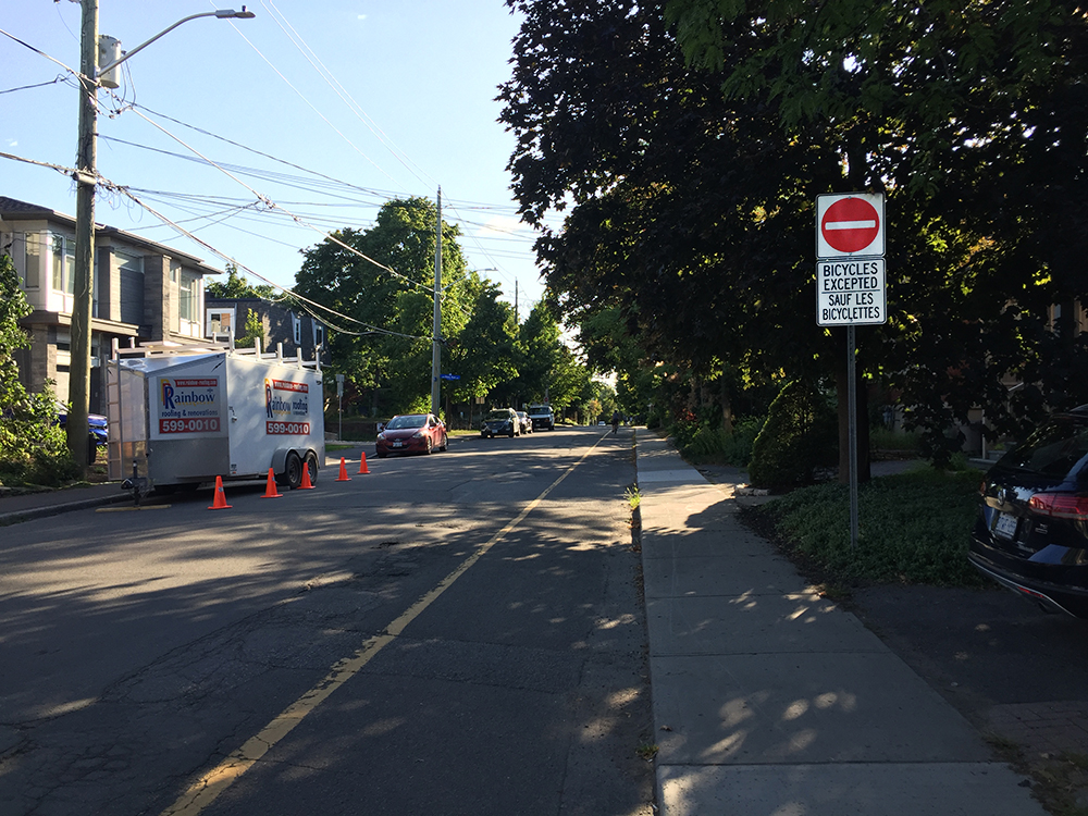
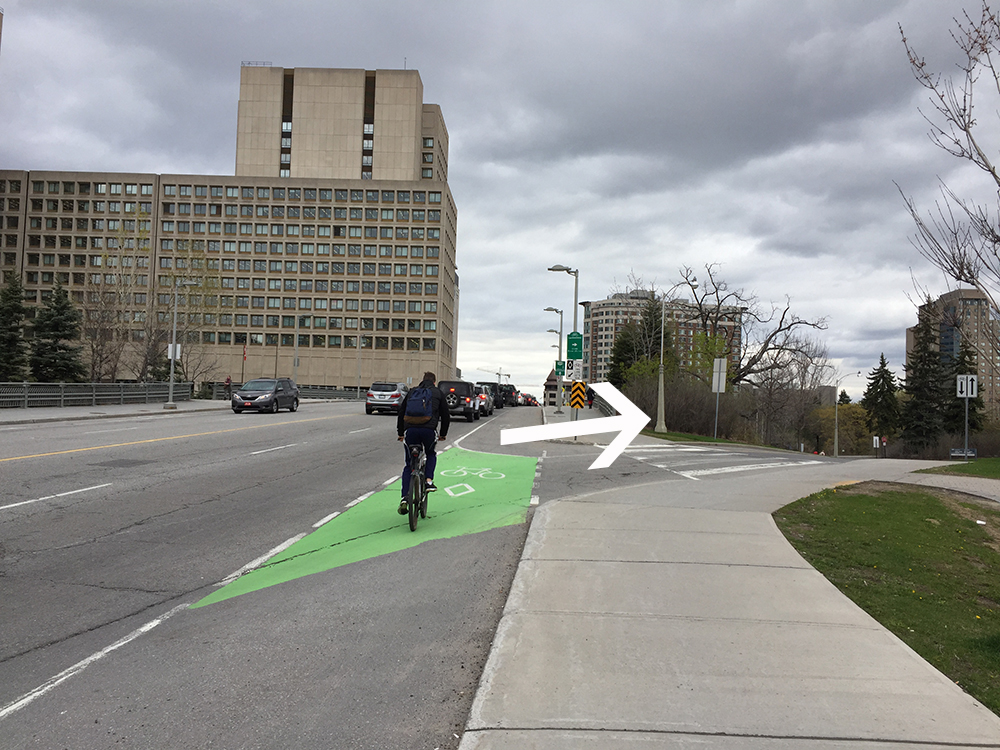
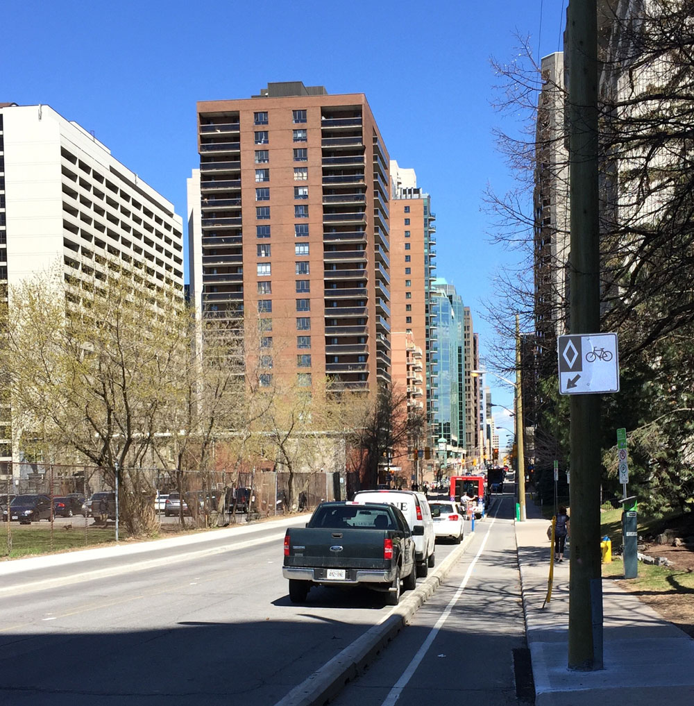
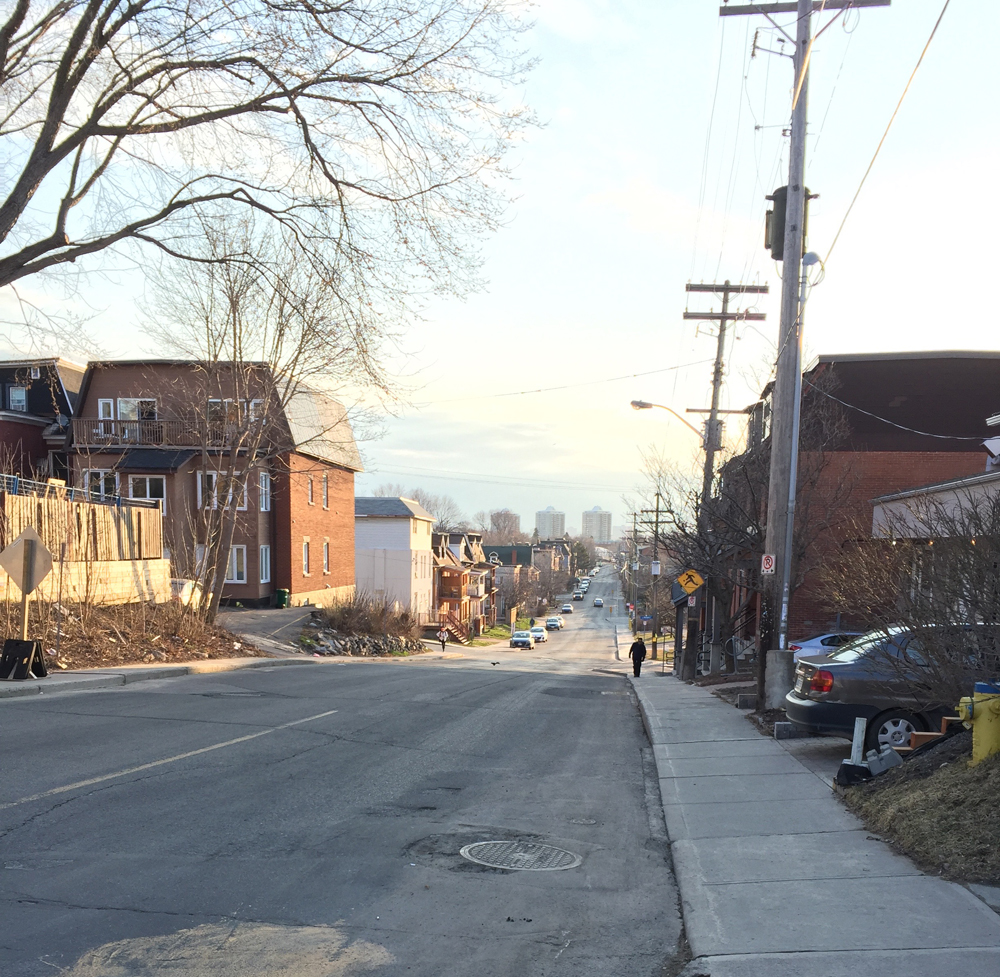
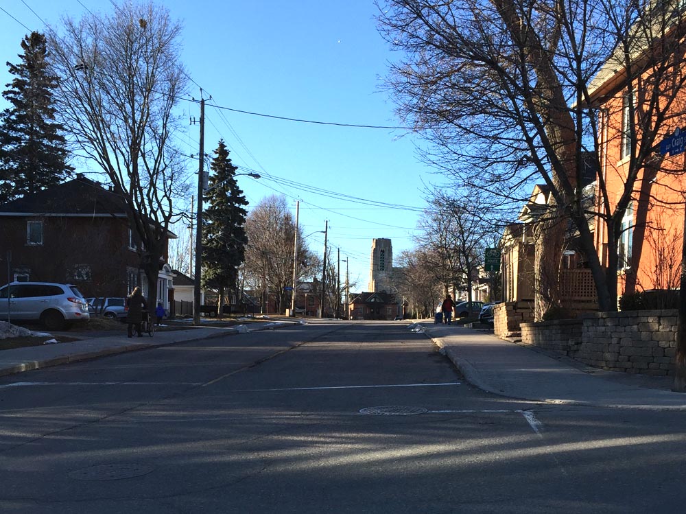
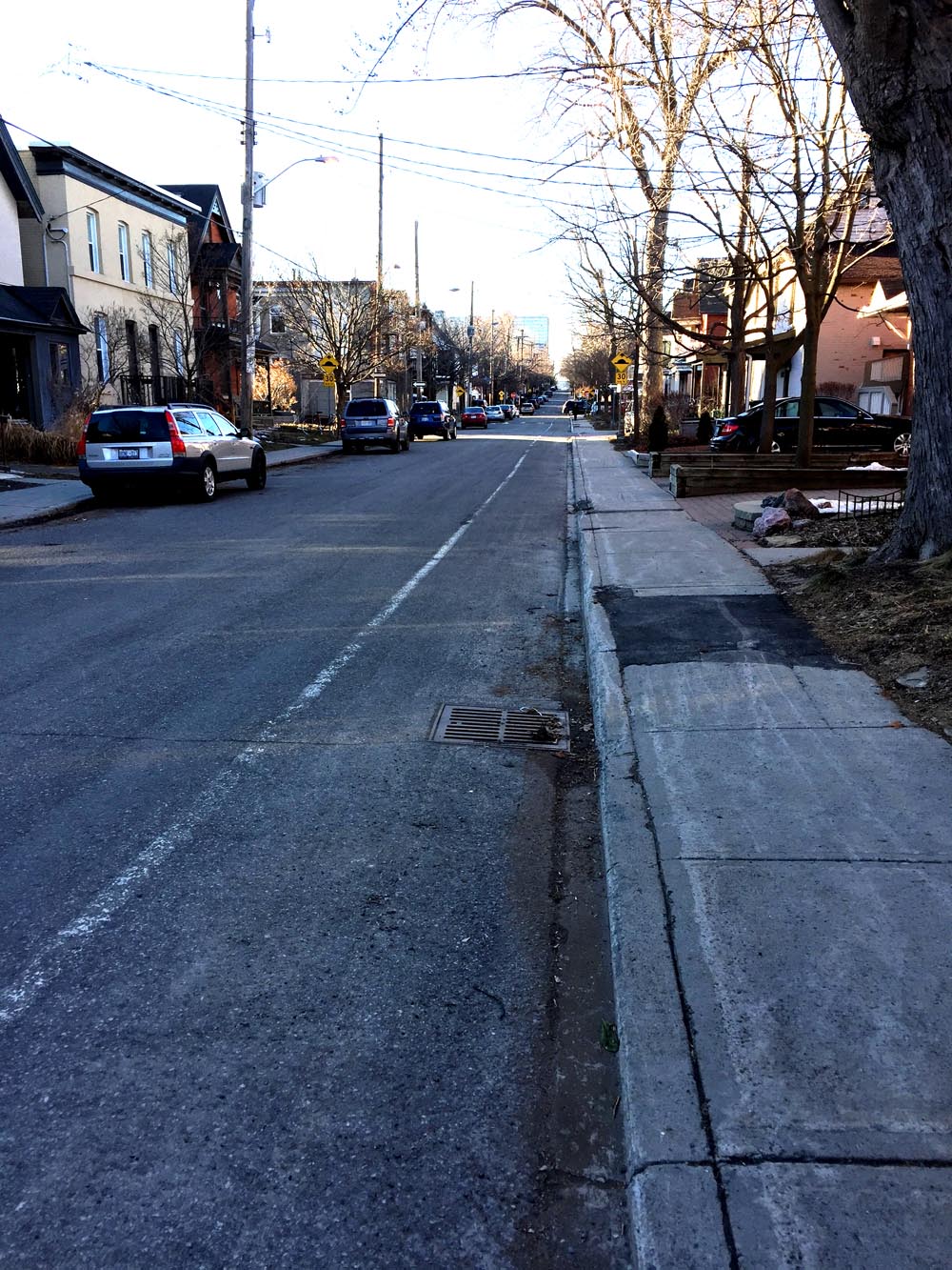
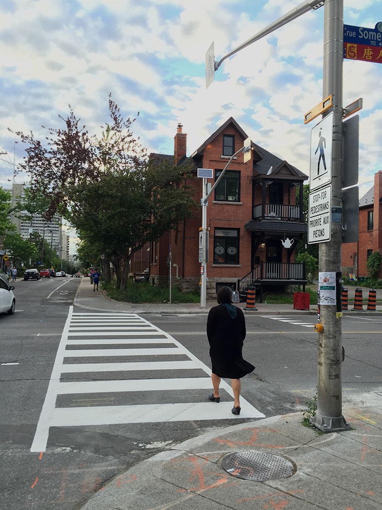
Starting off from the corner of Laurier Avenue and Percy St, head south along the Percy bike lane. (Percy and Laurier is an intersection easily accessible from many points within the downtown core via the Laurier Bike Lane).
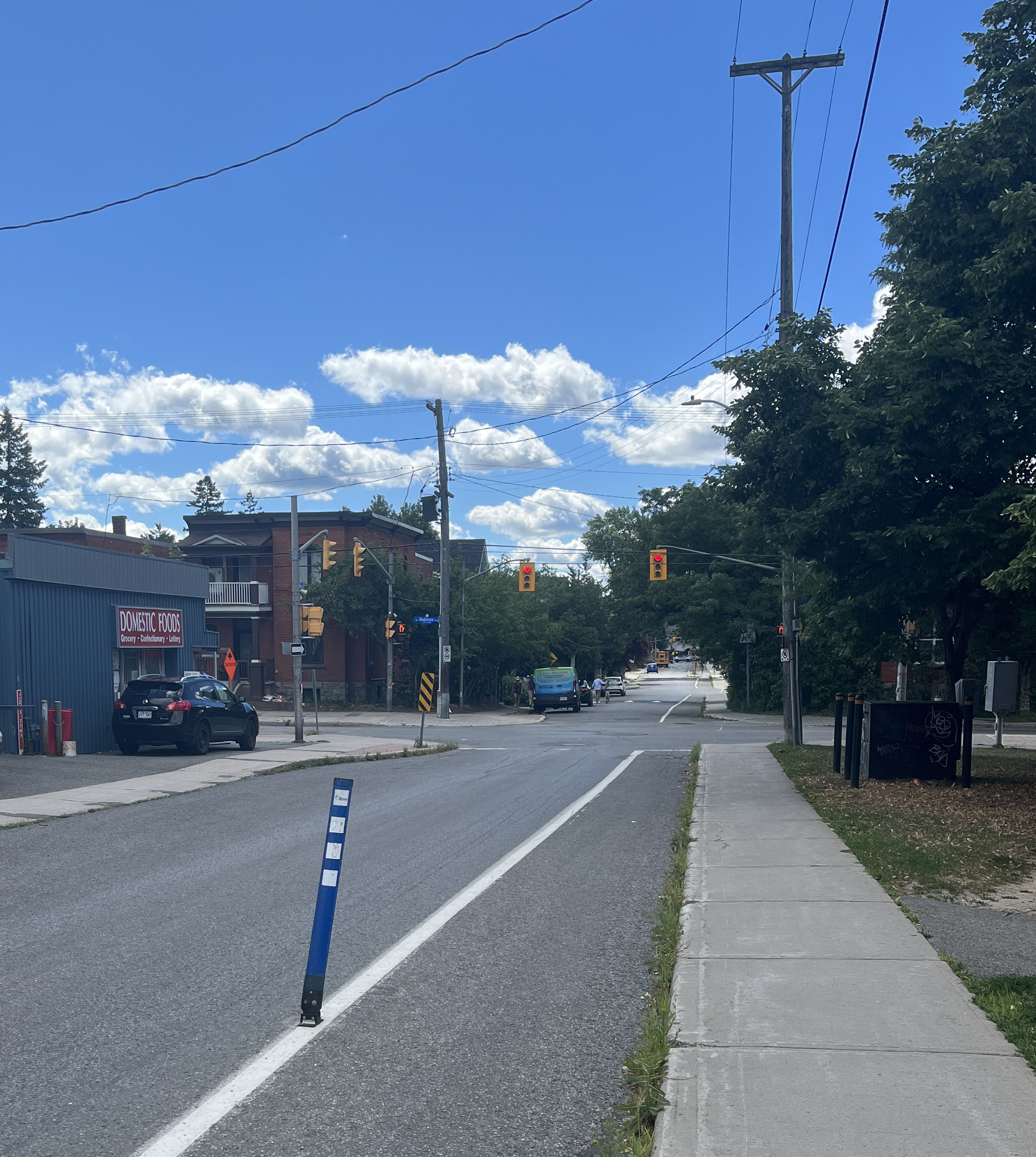
Percy continues on the opposite side of the Queensway sans bike lane.
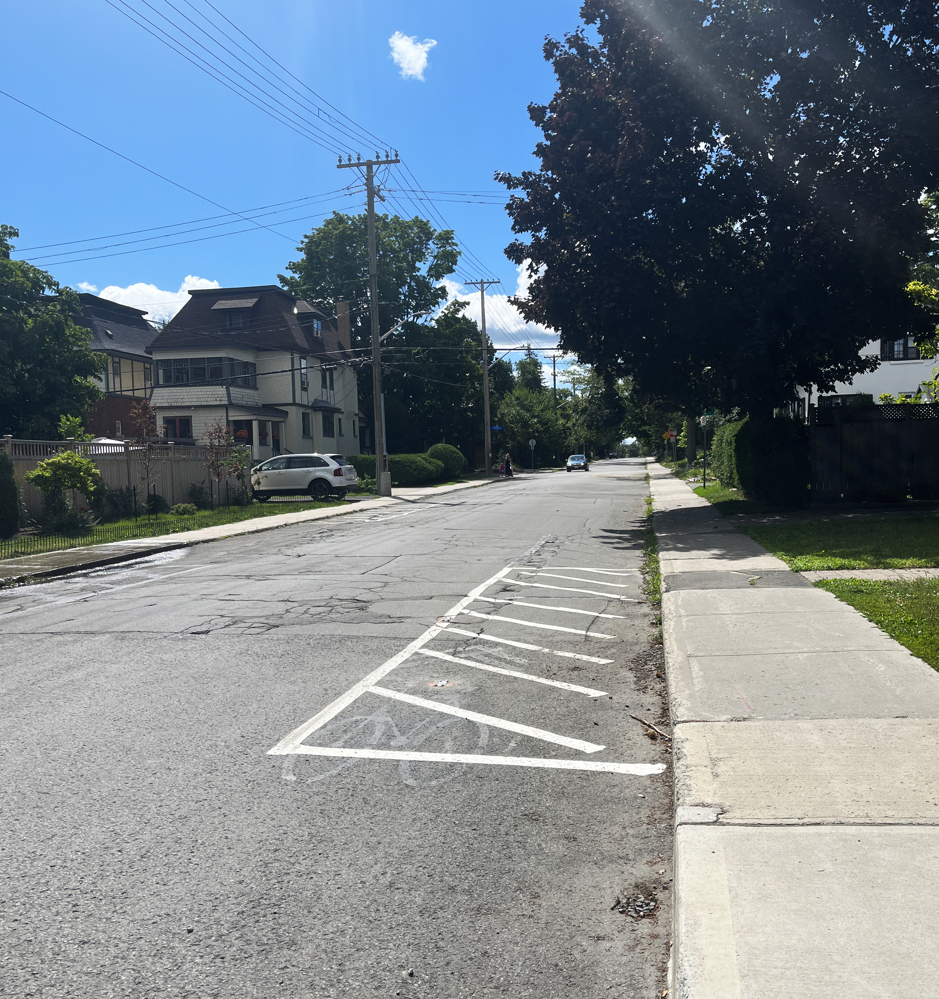
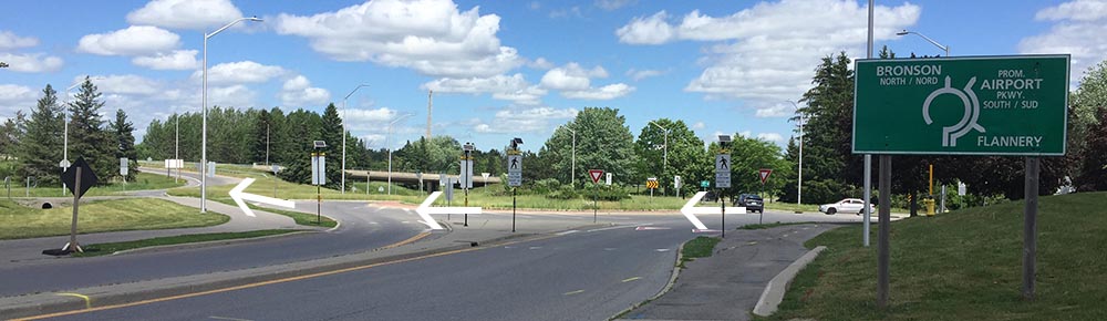
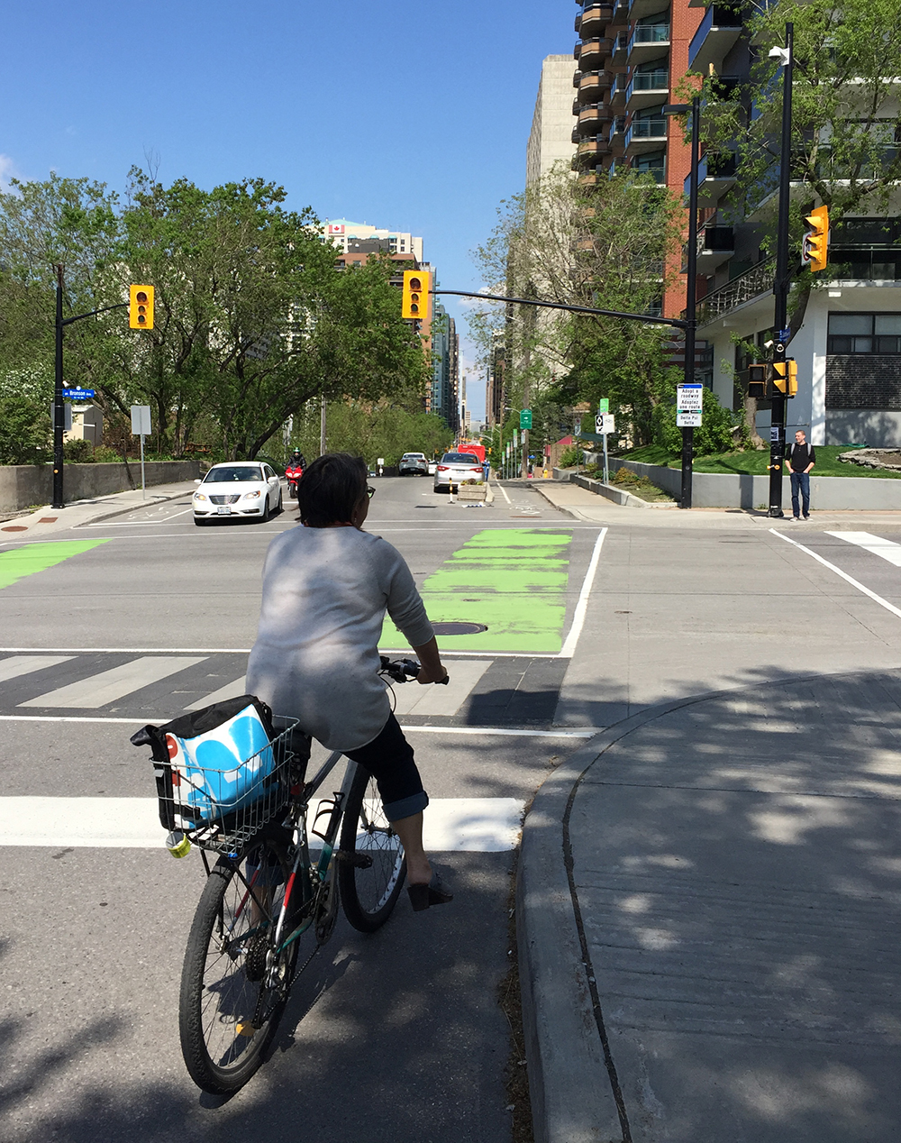
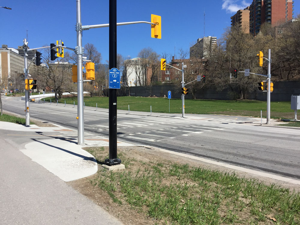
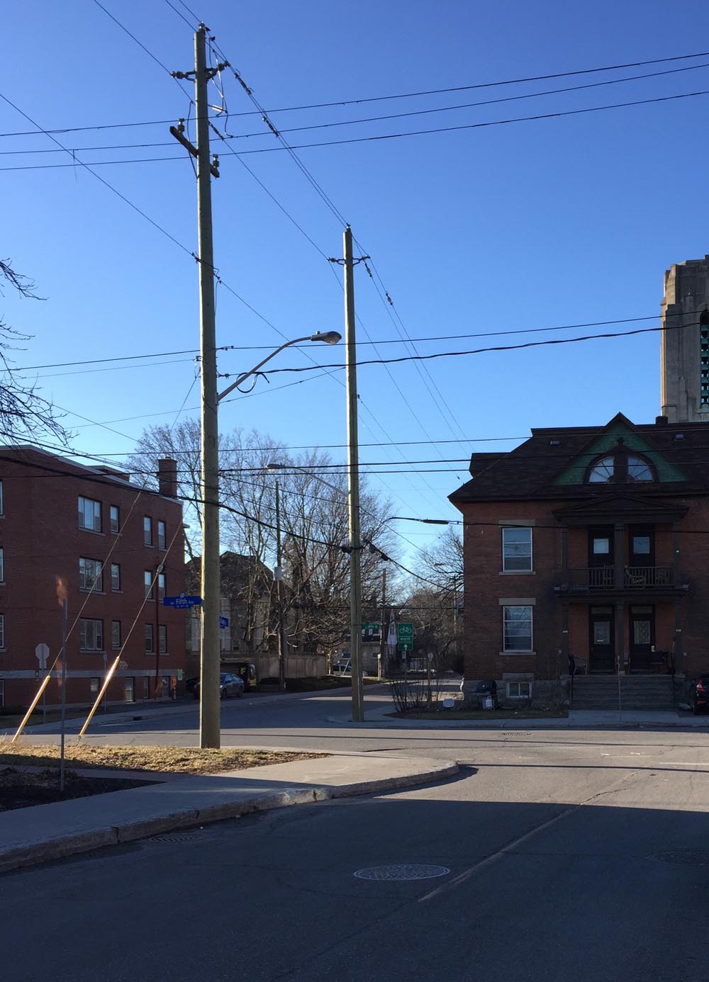
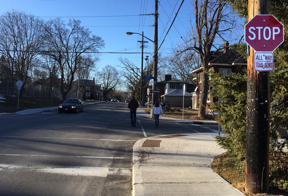
Turn right on Fifth Avenue and cross Bronson Avenue at the intersection.

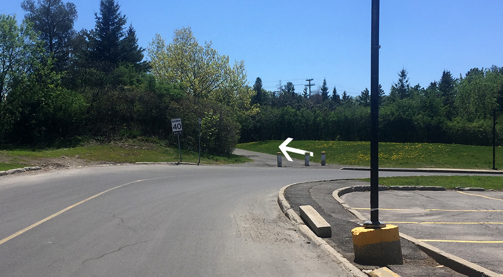
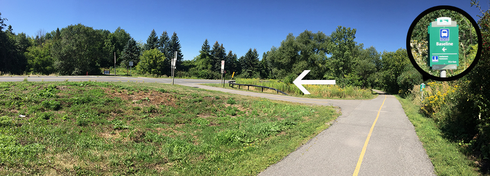
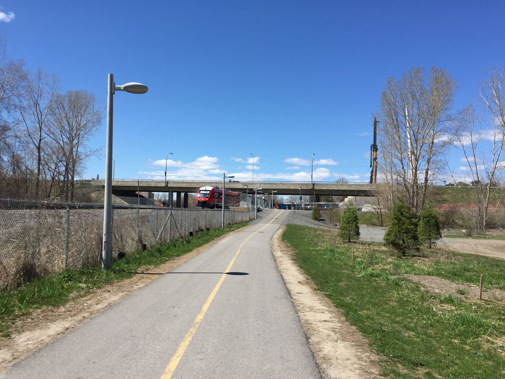
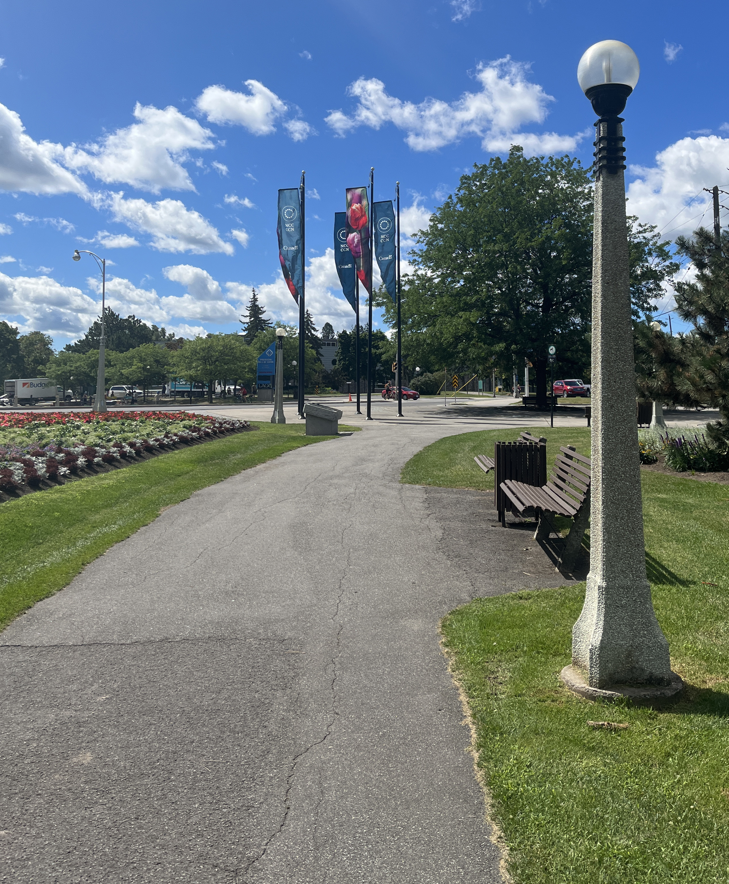
Once across Bronson continue down Madawask Drive, then onto the pathway that cuts through Commissioners Park.

Follw this path to the intersection of Preston Street and Prince of Wales Drive.
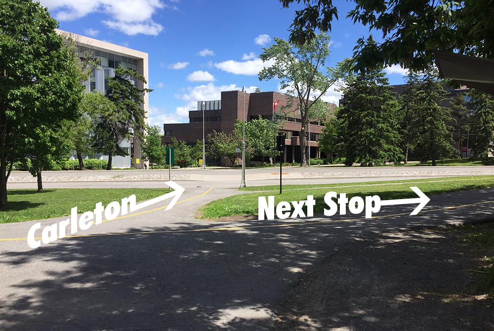
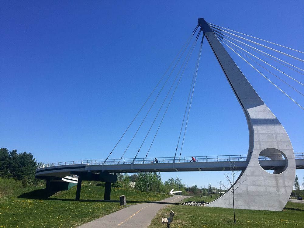
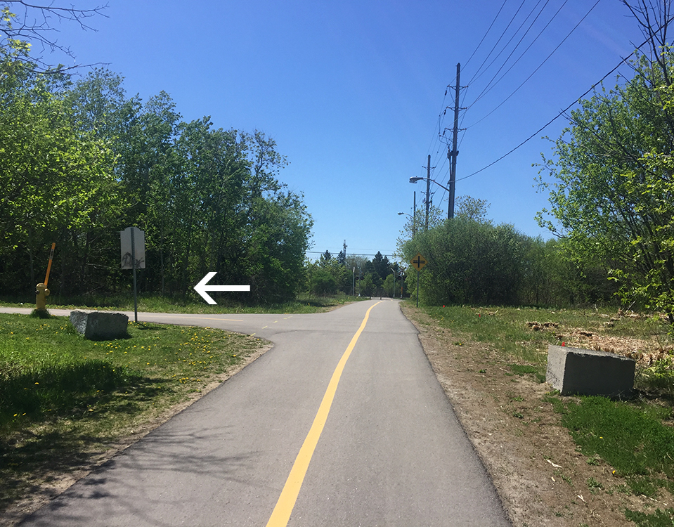
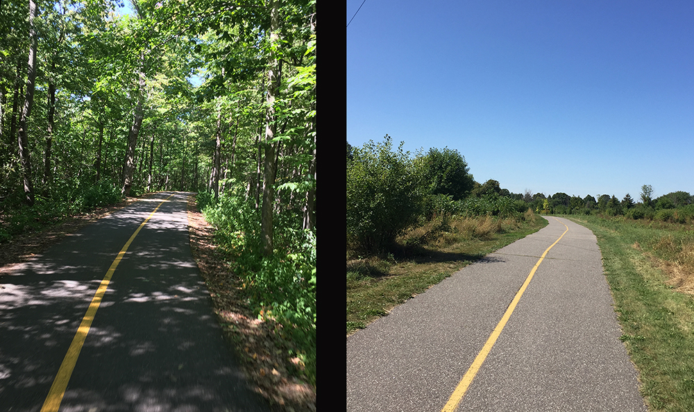
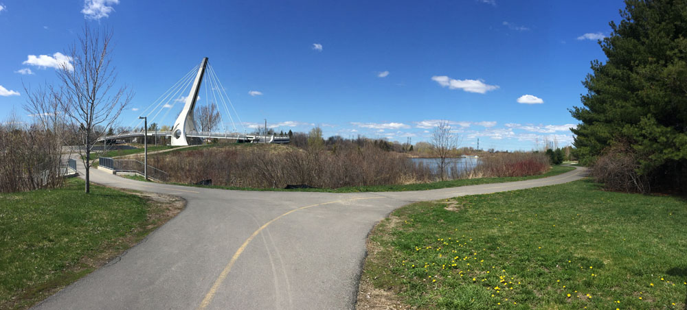
Cross the lights to get to the bike path that runs through the Arboretum along the edge of Dow’s Lake and the Rideau Canal.

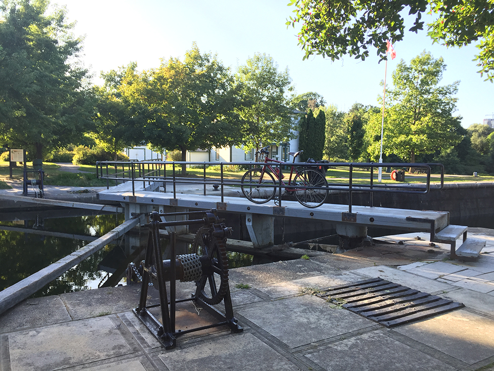
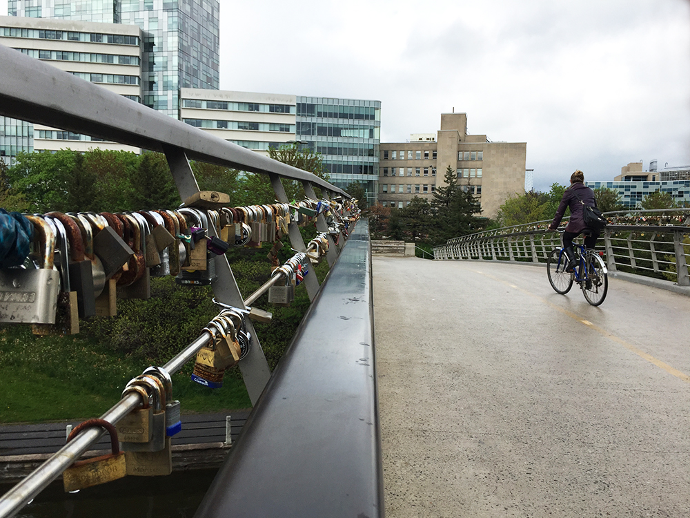
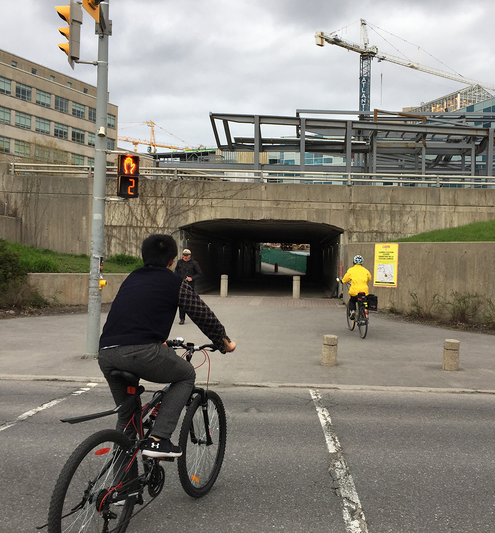
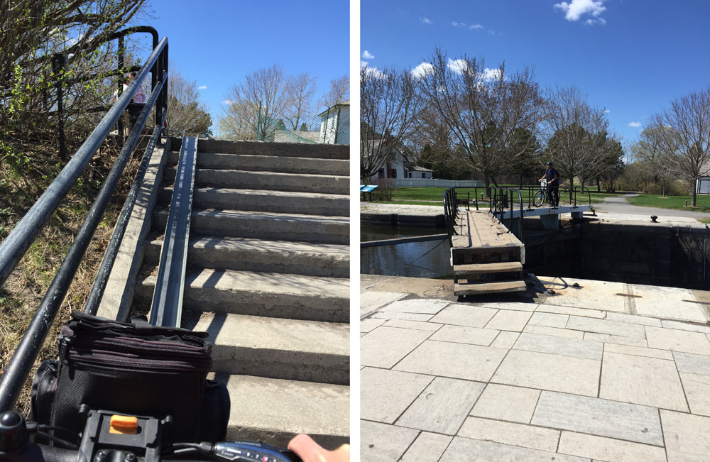
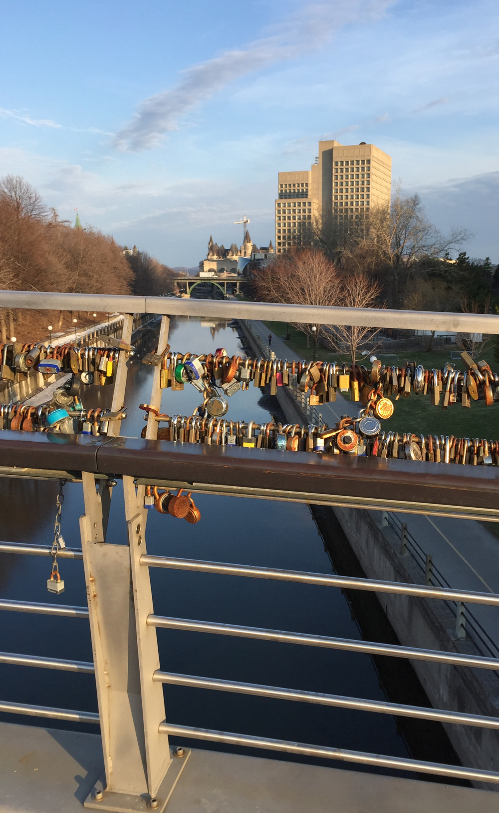
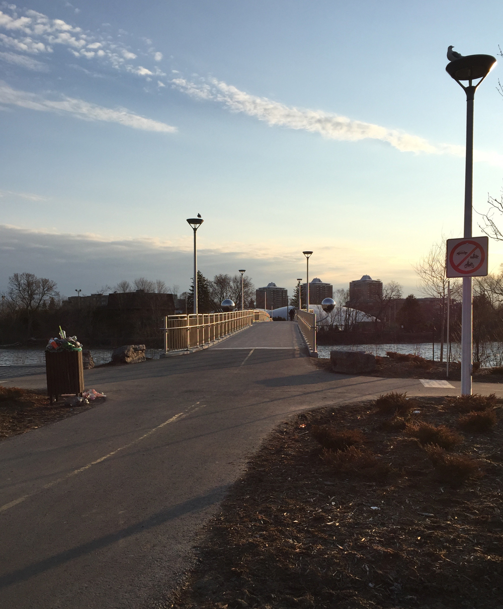
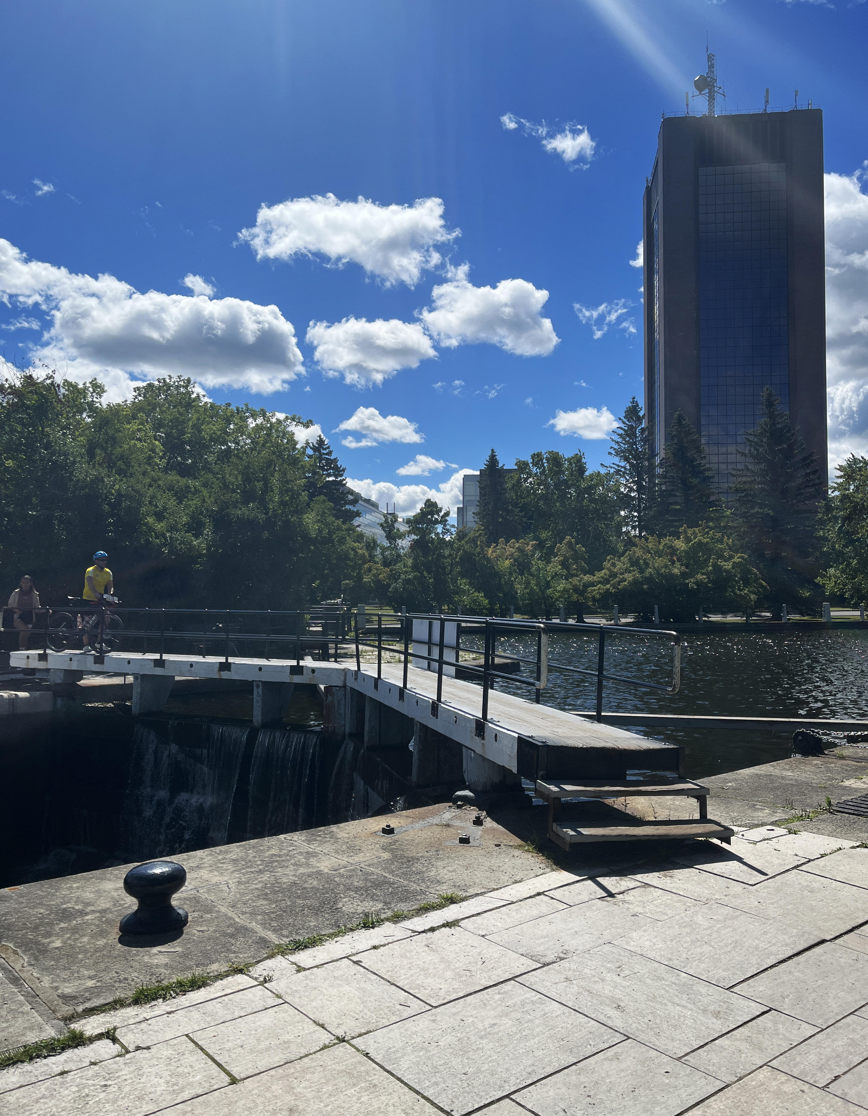
Pushed you bike over the canal locks opposite Carleton University and turn right along the Rideau Canal Pathway as far as Mooney’s Bay.
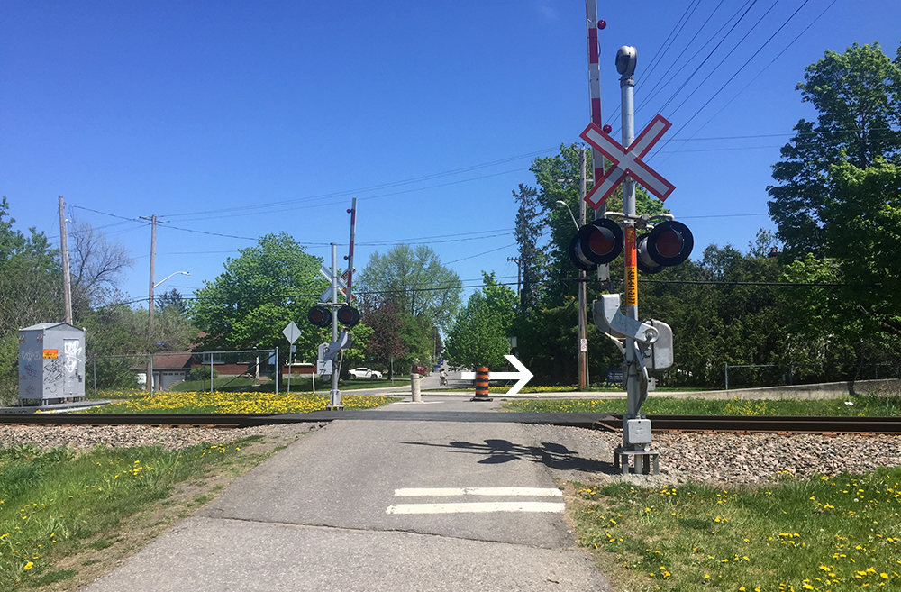
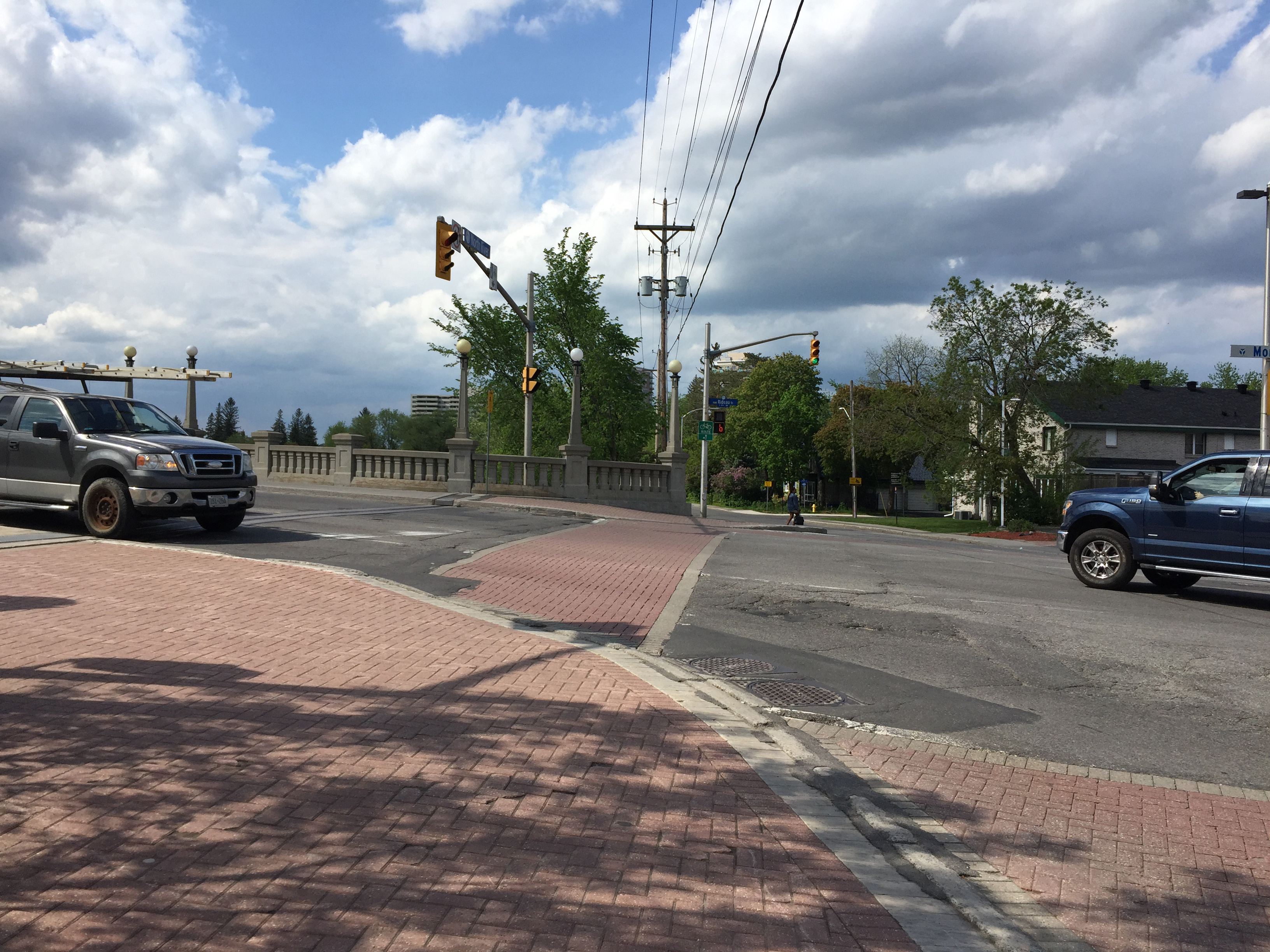
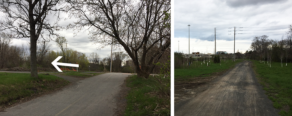
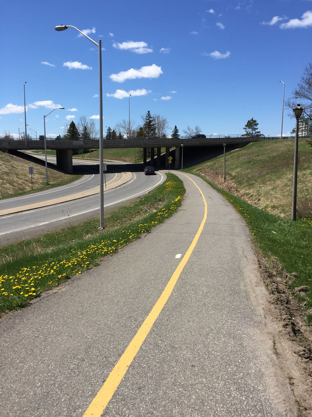
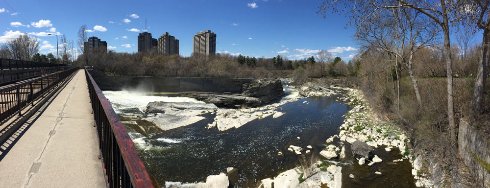
The path continues over the Rideau River along Hogs Back Road. Once over the Hogs Back Falls bridge take the path to the right that goes through Mooney’s Bay park

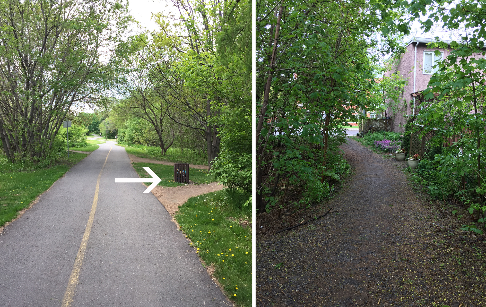
On the other side of Mooney’s Bay Park the path continues along Riverside Drive for a short distance until it ends at Walkley Road. Riverside Drive is a very busy street with lots of speeding traffic. There are raised paved shoulders along Riverside beyond Quesnel Drive, but not between Walkley Road and Quesnel Drive. To avoid this section, ride on the packed grass beside the sidewalk along Riverside for a short distance and cross Riverside to the parking lot of the Anglican Church.

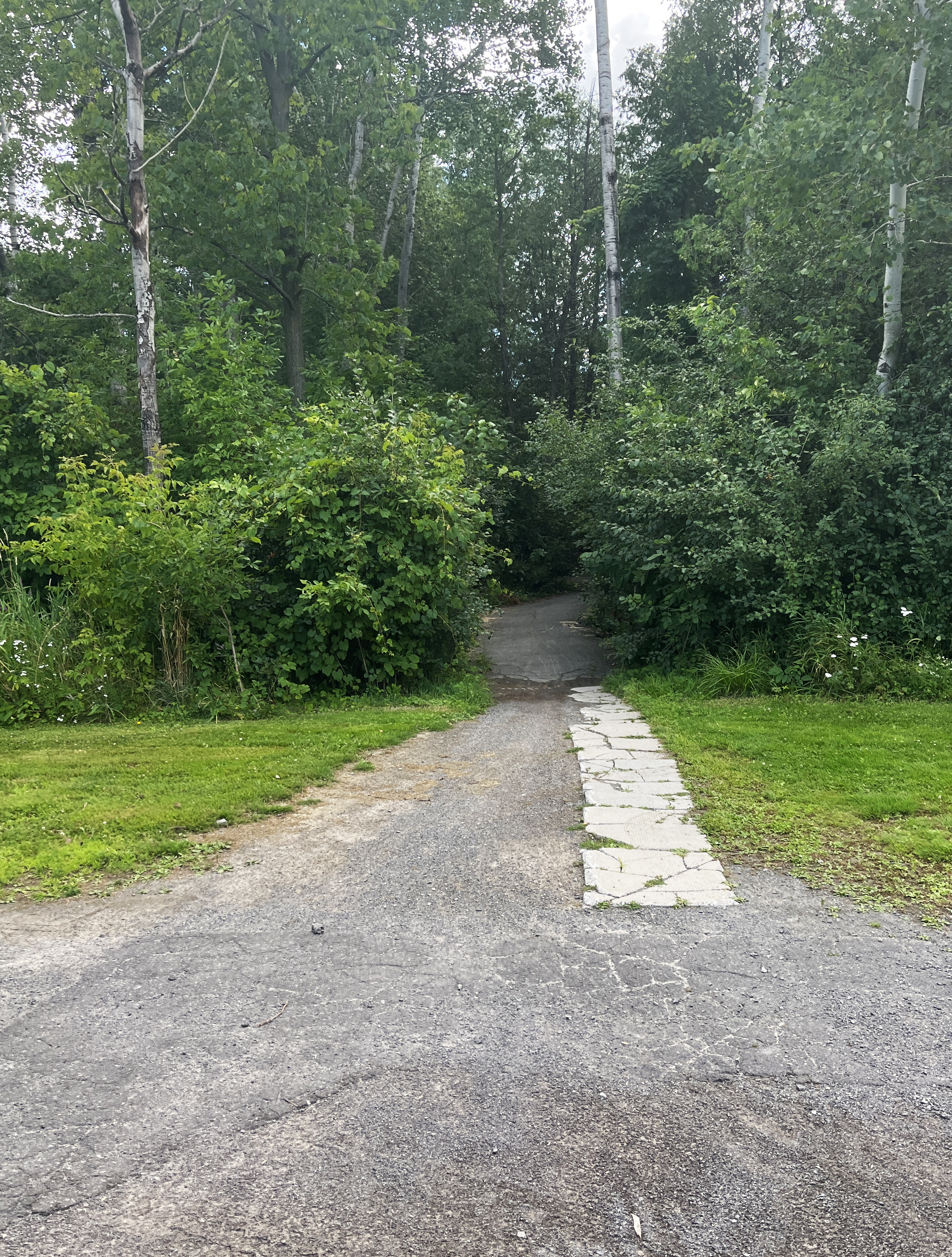
Ride through to the opposite side of the church parking lot to the short path that cuts through to Otterson Drive.
Turn right onto Otterson, and take the short path that links to Quesnel Drive. Follow Quesnel Dr that ends at Riverside Drive. Get back on Riverside Drive and continue south along the previously mentioned raised paved shoulders. They extend from Quesnel to Uplands Drive.

Turn left onto Uplands Drive and follow it for a short distance before turning right along Bowesville Road.
Mid way down Bowesville there’s a NO THROUGH TRAFFIC sign, and a smaller green one below it that asks pedestrians and cyclists passing through to remain on the road. That’s because it cuts through the Ottawa Hunt & Golf Club. There’s a steel gate a bit beyond the signs, however there’s space to ride by just to the right.

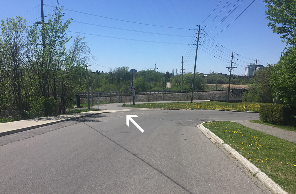
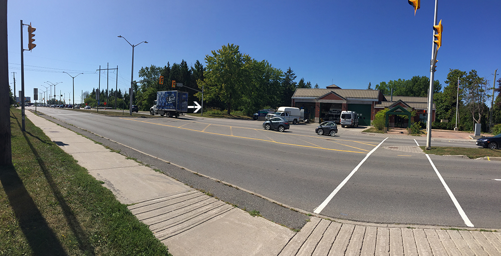
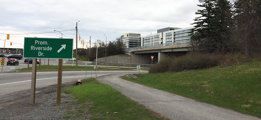
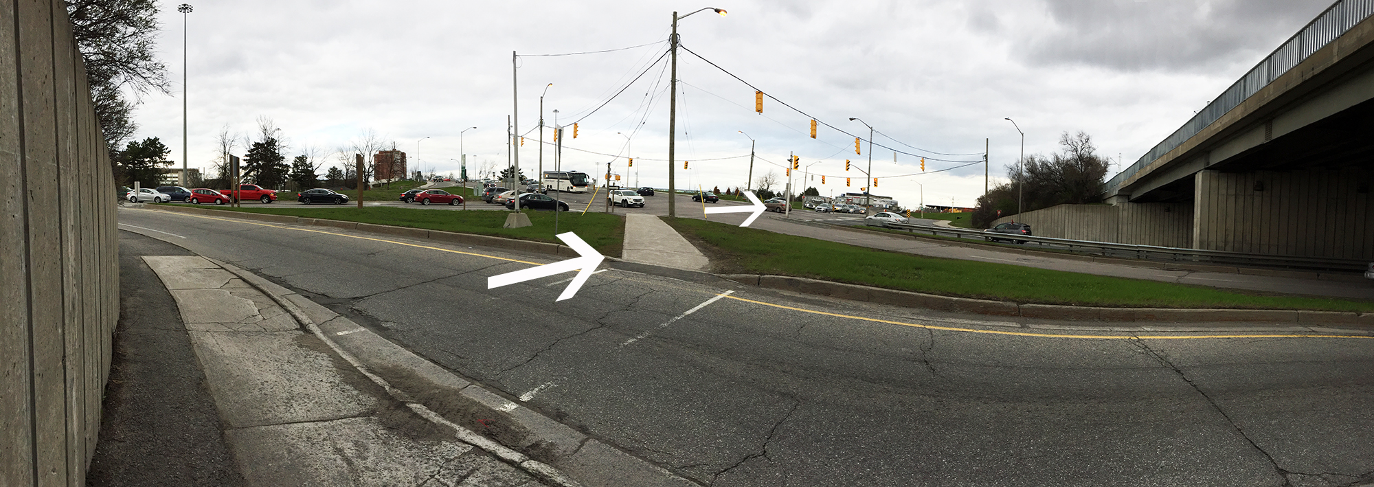
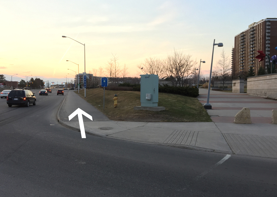
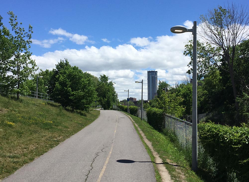
Once beyond the golf club property cross Hunt Club Road at the lights and continue south along Paul Benoit Driveway. This is a very pleasant road to ride along. Traffic isn’t too speedy, the posted limit being 50km/h. There is also a paved path that runs along the west side of the road.

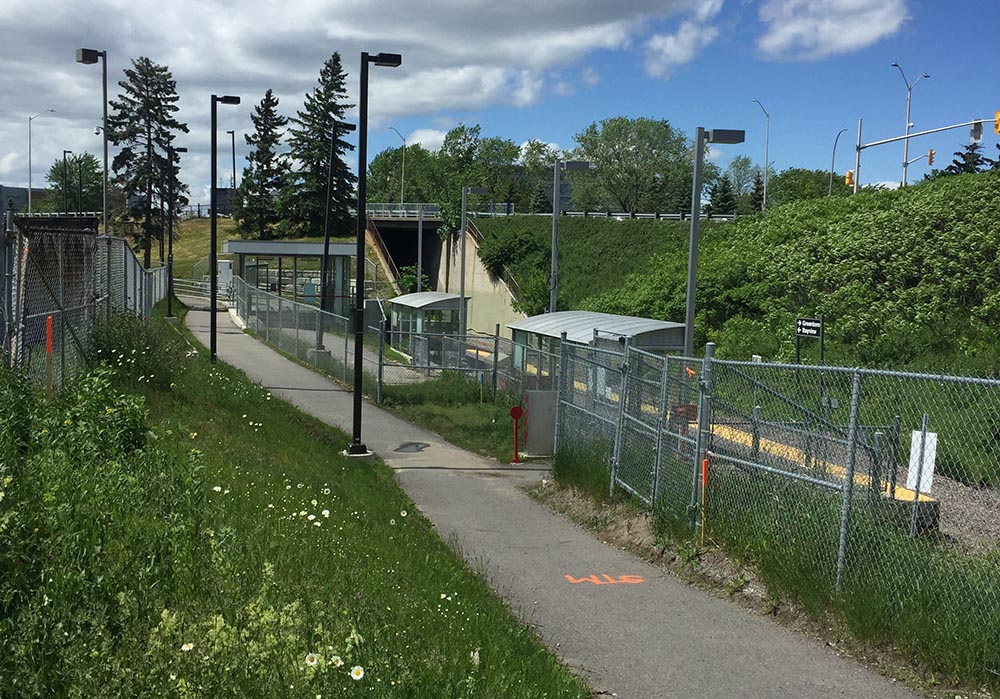
Normally, to get to the terminal turn right off of Paul Benoit Driveway onto Kiowa Pr, cut through the employee parking, then left at the end of the parking lot, which becomes a lane airport employees use to walk back and forth to their cars. This lane leads right to the arrivals doors in front of the terminal. At the time of writing they were constructing the O-Train connection to the airport, which required a slight deviation to the normal route, as per the green line indicated on the above map. i.e., rather than cut through the employees parking, ride to the end of Kiowa Pr to Clear Skies Pr, then turn left onto Clear Skies Pr, which leads to the aforementioned lane that brings you to the entrance to the terminal.

There are bike racks infront of the concrete pillars located just outside the entrance to the airport.

Accessing the EY Centre
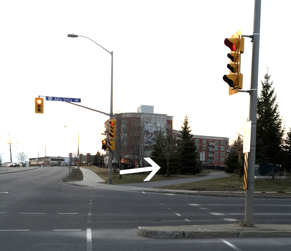
If you are heading to the EY Centre (orange line on the above map) turn left off of Paul Benoit Driveway onto Breadner Blvd, which has ample room for cars and bikes.

Turn right onto Uplands Drive, which is a busy street, but also has wide paved shoulders. The entrance to the EY Centre is a short distance further along Uplands.

Follow the same route heading back to Ottawa, except for the last stretch north of the Queensway where the bike lane follows Bayswater versus Percy, as indicated by the purple line on the above map.
Et voila!


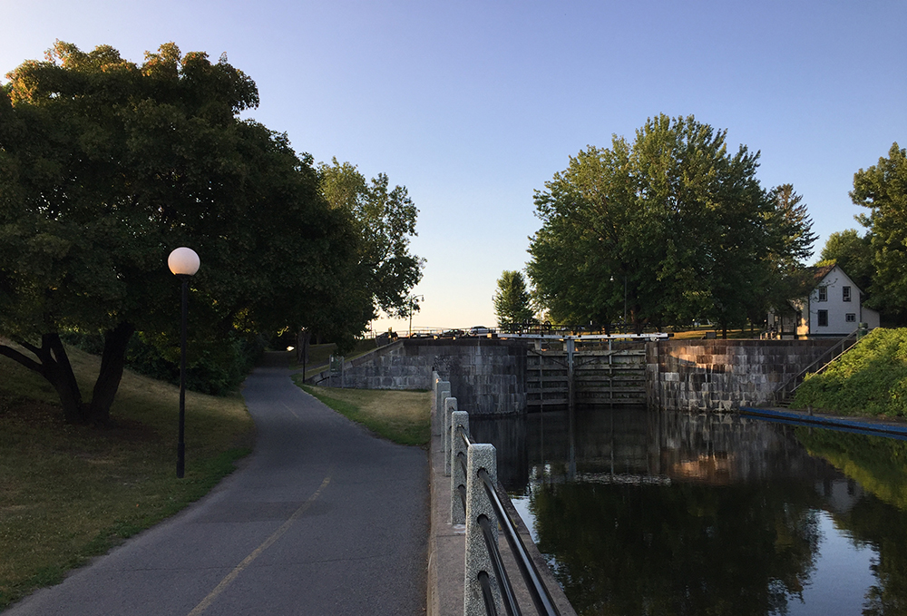
 Crossing the Hartwell Locks