
The Ottawa Train Station is located a few kilometers outside of downtown. Here is a bike route to get there from Centretown.
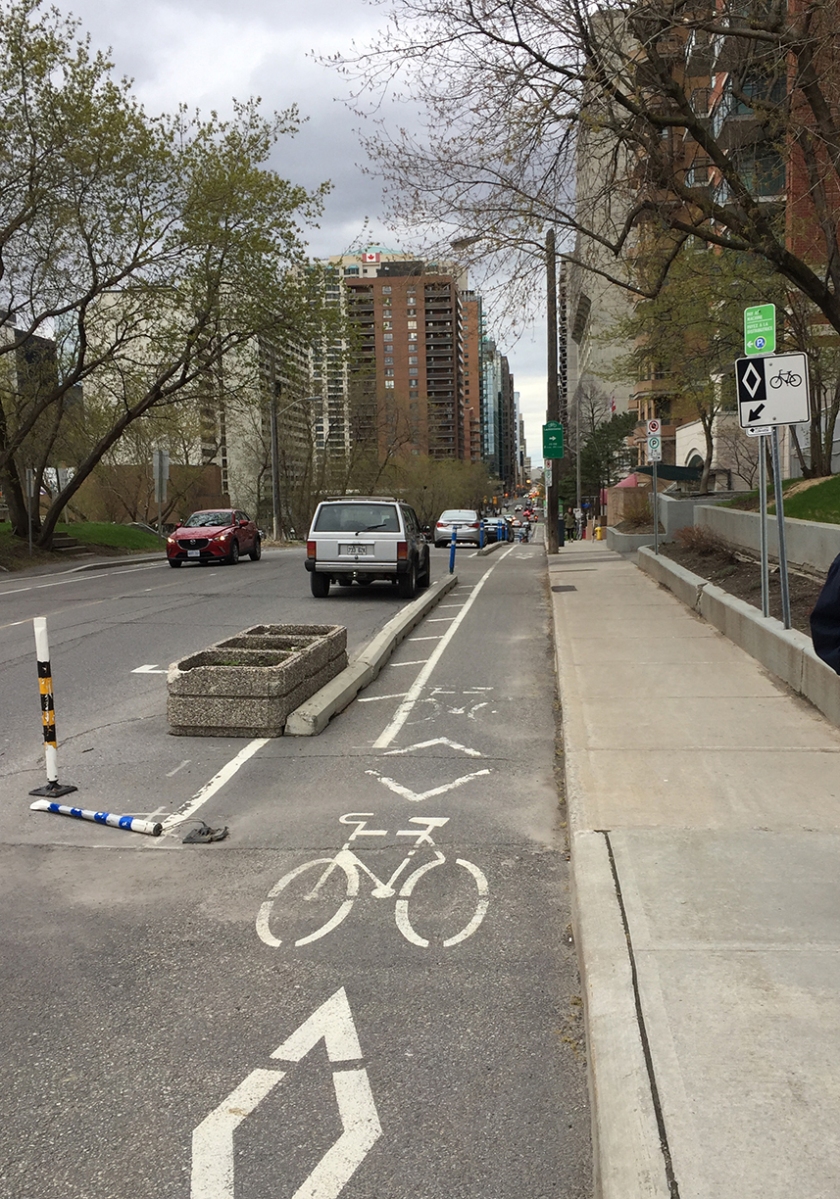
I started off from the intersection of Laurier & Bronson avenues and headed east along the Laurier Bike Lane.
After passing in front of City Hall I took the exit towards Queen Elizabeth Drive and got on to the Rideau Canal Western Pathway.
UPDATE – July 2018: They’ve installed bi-directional multi-use lanes on the sidewalk just after you exit off Laurier.


I rode south along the Rideau Canal Western Pathway before crossing the canal over the Corktown bridge.

I traversed Colonel By Drive at the pedestrian lights and rode under the Nicholas Street tunnel, then up through the University of Ottawa campus.

After crossing King Edward Avenue at the traffic lights I rode straight down Somerset East before heading up and over the Rideau River on the Adawe Bridge.


On the opposite side of the river I turned right onto the Rideau River Easten Pathway.

Just after riding under the Queensway along the Rideau River Easten Pathway I turned left onto a packed gravel path that leads to the intersection of Riverside Drive and Tremblay Road.

Crossing the Riverside Drive and Tremblay Road intersection is the least pleasant spot along this route. Something about Riverside Drive seems to compel drivers to become impatient speedsters. The oncoming left lane is also a Queensway off ramp with a yield sign to compel drivers to let you cross. There used to be a path that went over Riverside Drive, thus avoiding this intersection, but it is blocked off (temporarily I hope) as the new transit line is being constructed.


Once through the intersection I continued along the sidewalk that runs parallel to Tremblay before it becomes a paved path leading up to the train station.

I passed all the taxis lining the circular approach to the front of the station to get to where there is a bike rack just to the left of the main doors. This location, along with the security camera hanging right above it, provides me with the confidence to leave my bike locked up to the rack when I go away on a train trip for a few days. It’s a huge improvement from a long time ago when the only option was to lock your bike to a post near the poorly lit car parking lot. That’s where I discovered my bike was stolen after returning from a weekend trip to Montreal. The bike rack out front is much better.

On the way back I retraced my route, except for the section along Laurier in front of City Hall. That’s because when heading west along the Laurier Bike Lane, the safe segregated section only starts at Elgin and Laurier. To get there I cut through Confederation Park as indicated by the purple line on the above map.
If anyone needs a bike route to the station from another area of town, send me a starting reference point by email or via the ‘Leave a comment’ tag.
