UPDATE 2017 – This extension is now out of commission as it was only temporary until the Booth Street Bridge was completed. Unfortunately the Booth Strret Bridge has awful bike infrastructure. Promises have been made to improve them.
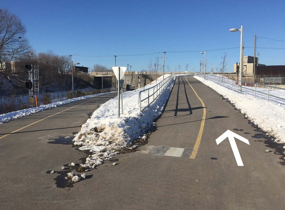
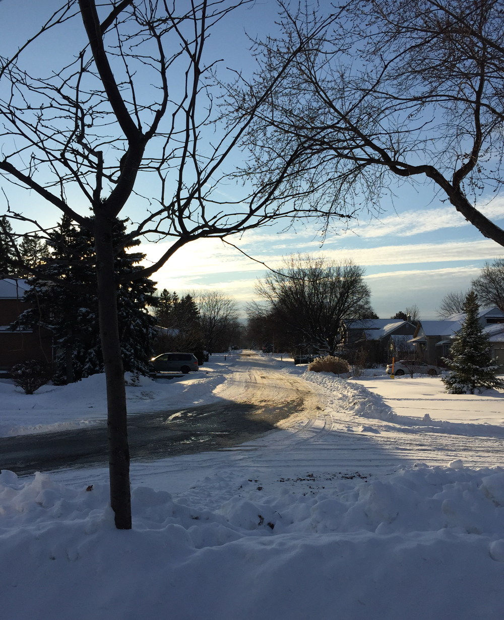
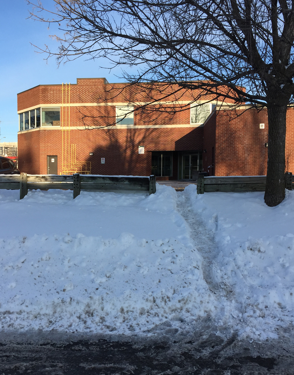
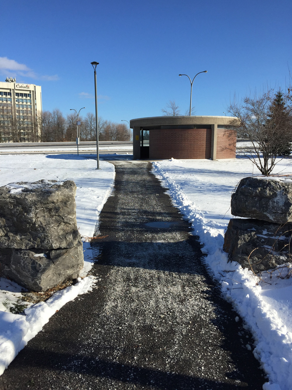
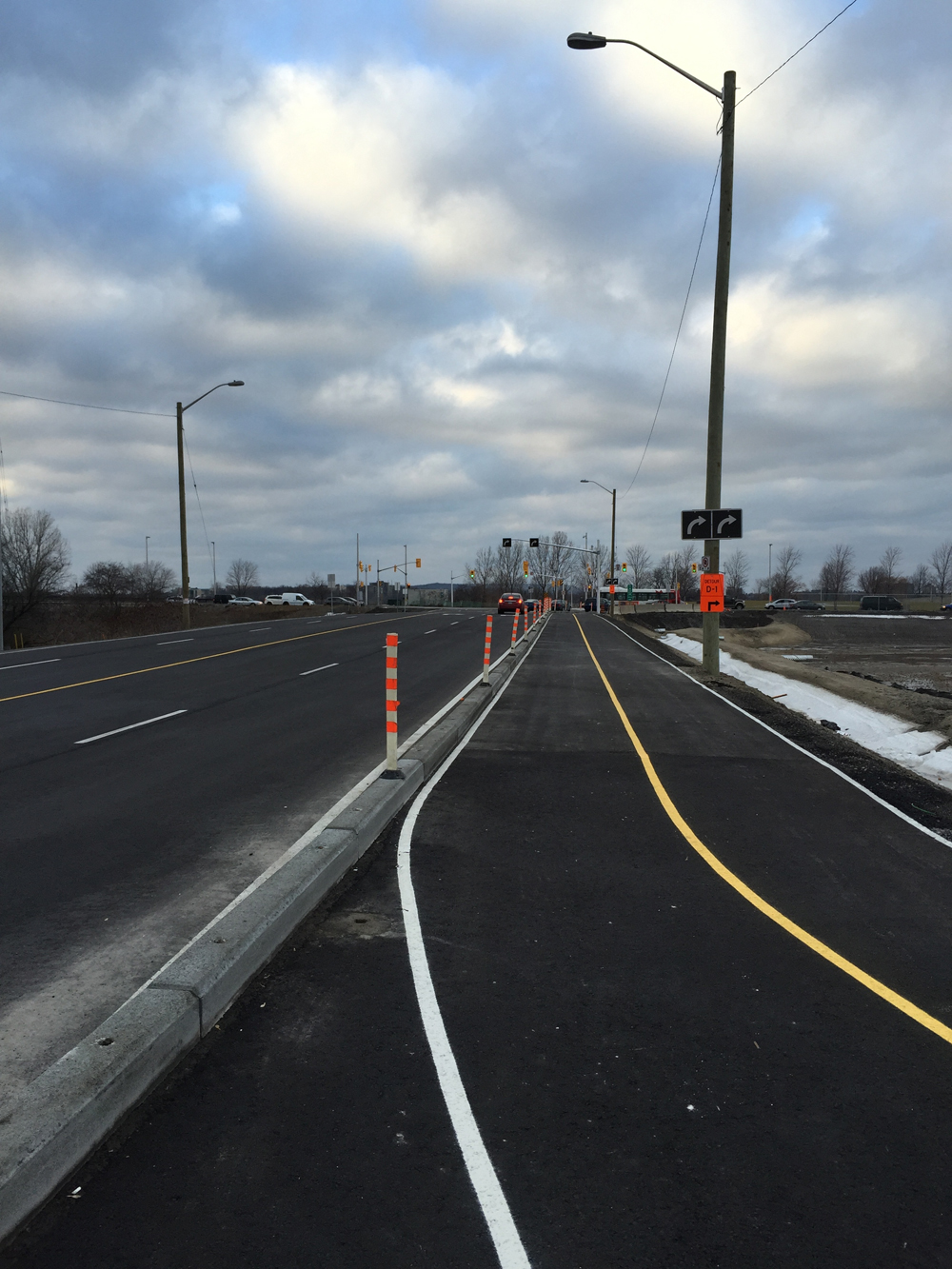
Preston Street has been extended between Albert Street and the Sir John A Macdonald (SJAM) Parkway. That’s because Booth Street north of Albert will be closed for two years while they build the Light Rail Transit. The new extension of Preston includes a multi-use path which will provide winter bike access to the Canadian War Museum. This is an improvement as the section of Booth it is replacing was treacherous to ride along even in the best of snowless conditions. Because this shared pathway also provides pedestrian access to bus stops along it’s length, I am confident it will be cleared all winter (to be confirmed after the next big snowfall). Today I went and tried it out. Blue line is my ride there, orange line is the way I should have gone to get to the start of the extension, and purple line is the way I rode back to access the Laurier Bike Lane.
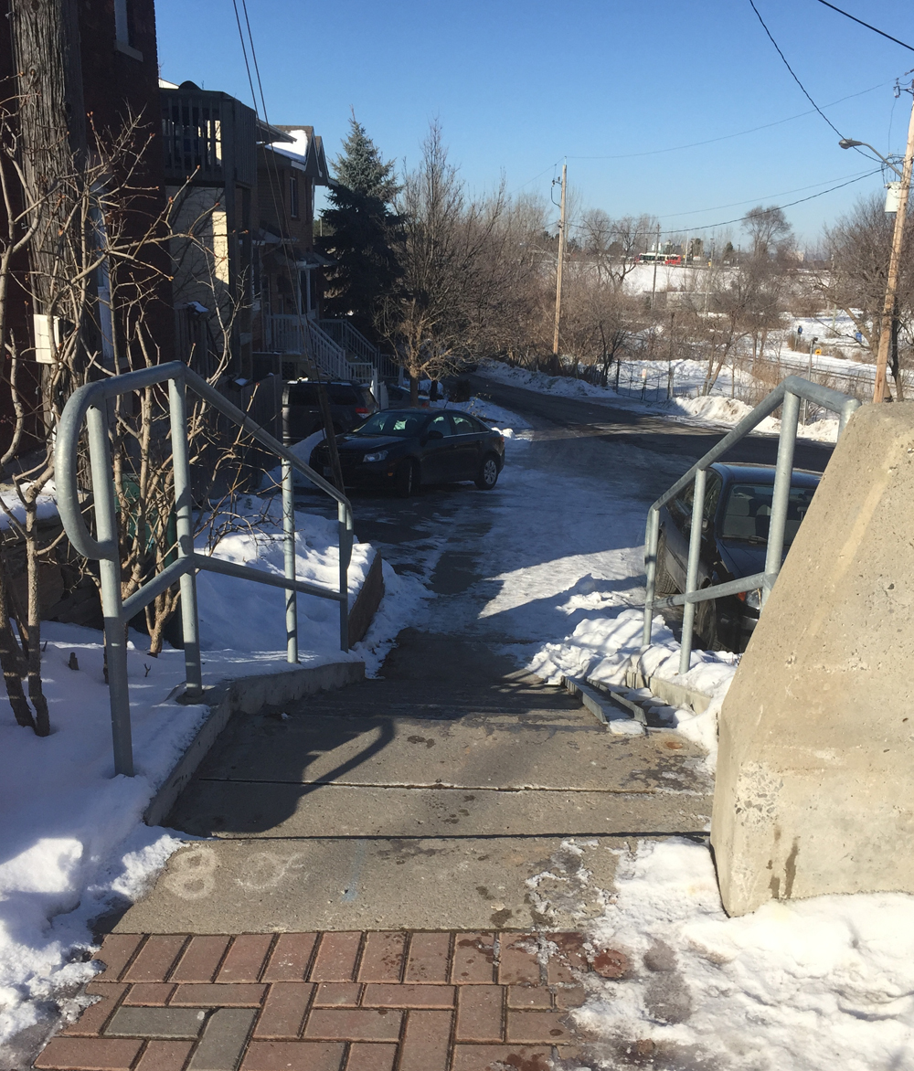
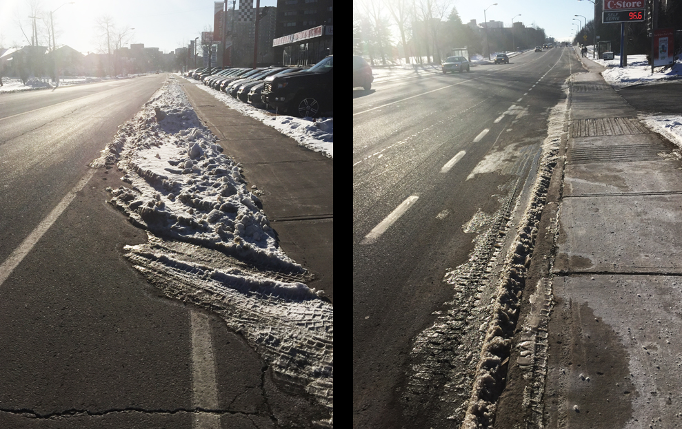
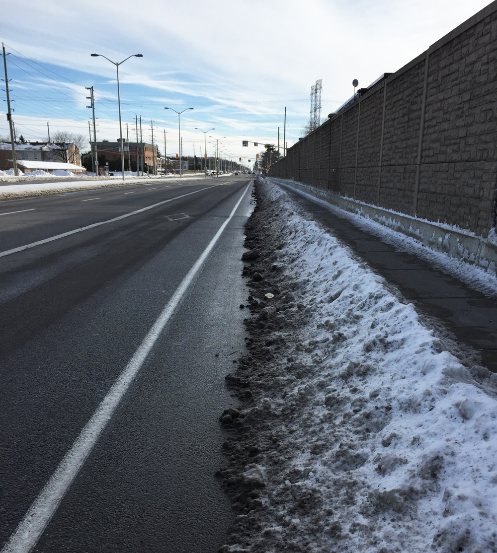
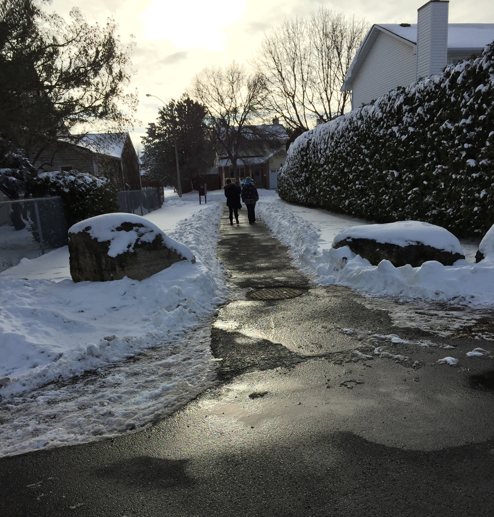
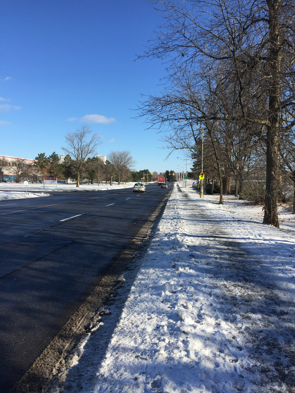
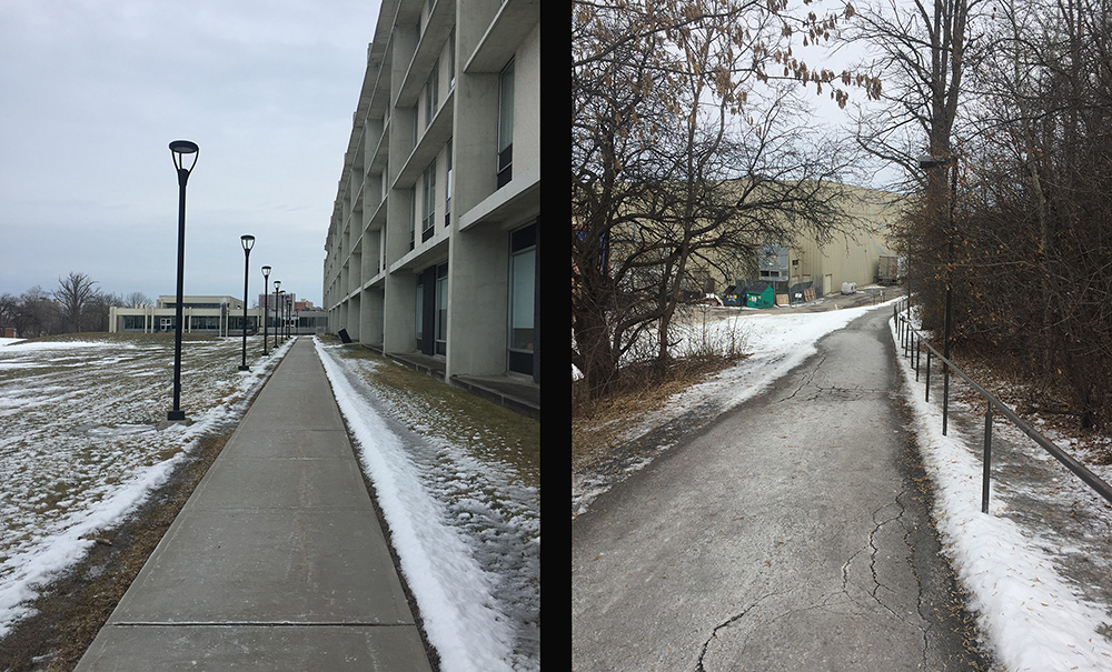
I approached from the south along Preston starting at Primrose Avenue. I chose Preston because Albert is very dangerous to cross or ride along and there are traffic lights where Preston and Albert intersect. Preston has always been a busy street and promises to become more so now that it is a main north/south artery towards the Chaudière Bridge over to Gatineau. Apart from the new extension, there are no bike lanes along the length of Preston, which in the winter becomes even narrower with the snow, so I took to the sidewalk for the block between Primrose and Albert. In retrospect I should have taken the cleared O-train path under Albert and accessed the sidewalk on the north side of Albert, as suggested by the orange line on the above map. There’s a short section of sidewalk to follow heading east before it joins the path that runs along the north side of Albert.


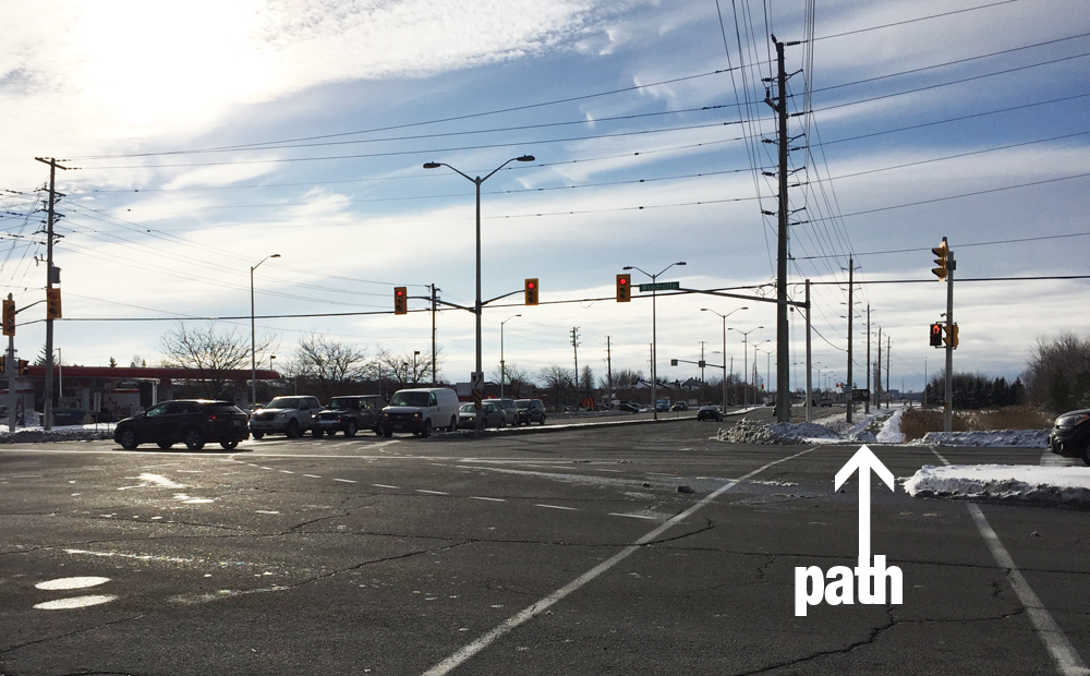
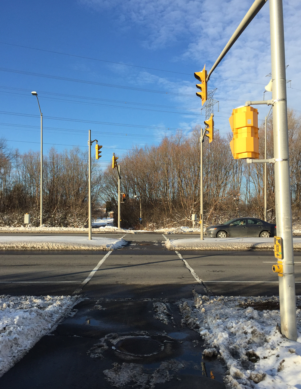
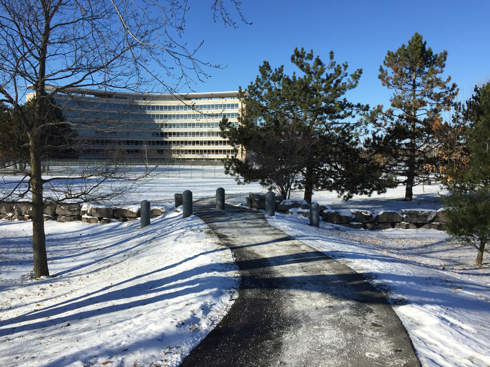
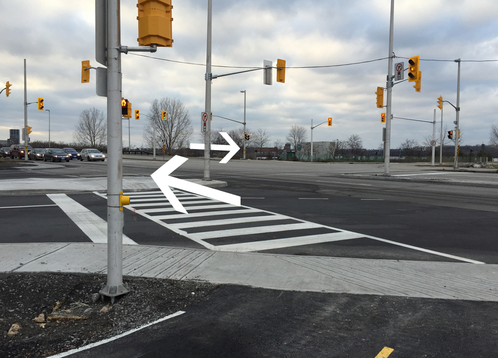
Getting across the SJAM Parkway intersection to the museum first requires crossing to the west side of Preston. The SJAM consists of multiple lanes of speeding traffic, and Preston has a large merging turn on to SJAM. This creates the type of intersection where drivers anxiously rush the light as they transition from one busy street to the other. I had to make eye contact with a driver before he halted suddenly and let me cross, even though there are multiple no-right-on-red signs.
Once arrived safely on the other side of SJAM I rode along the quiet service road to the entrance to the museum.

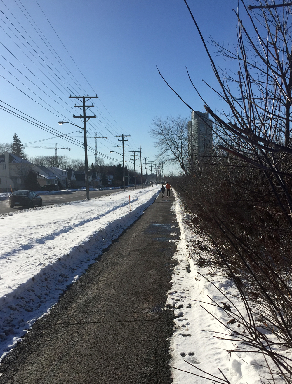
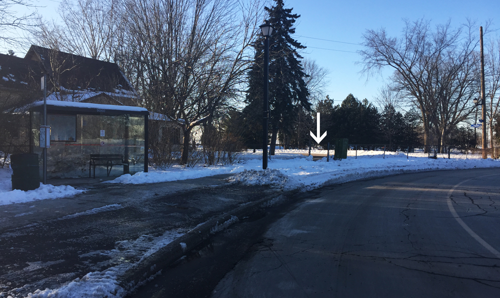
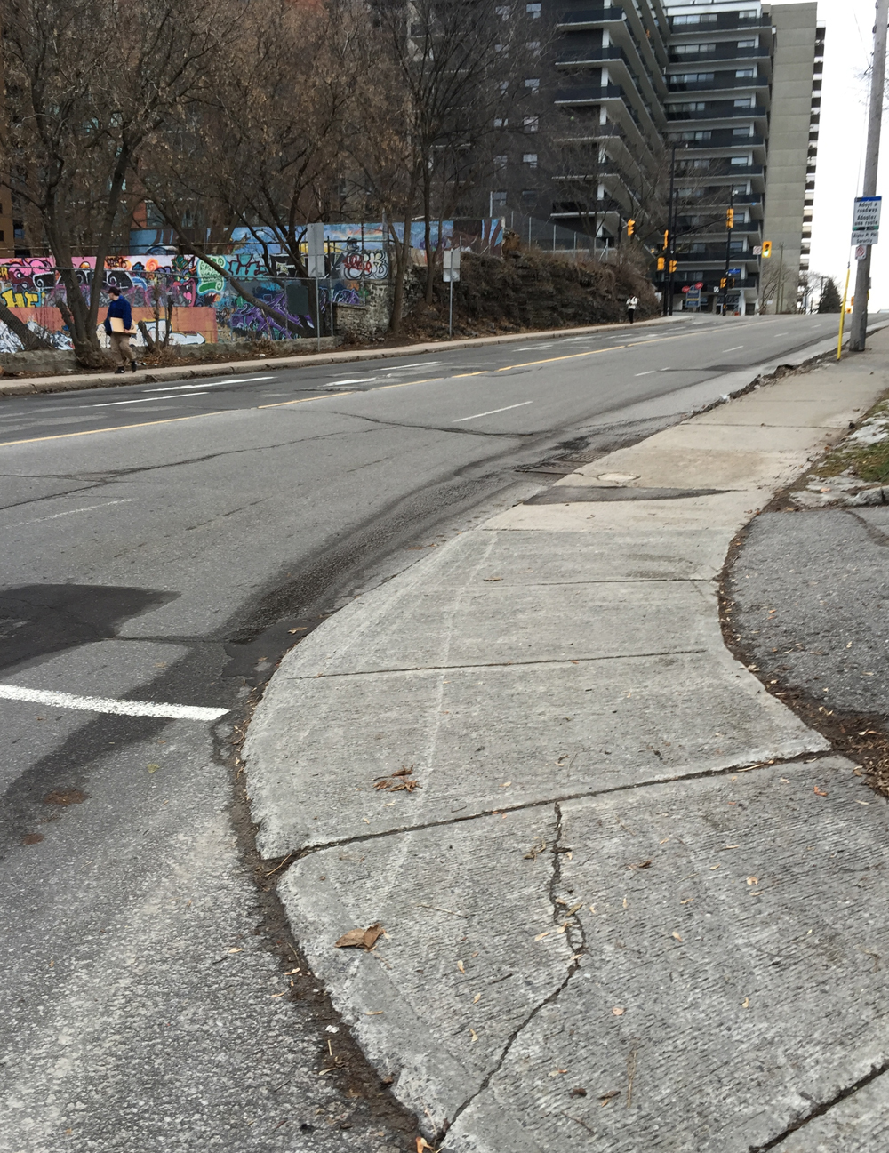
On my return trip, after taking the new path back to Preston and Albert, I continued east along the path on the north side of Albert. It ends at the corner of Commissioners St and Albert. Plans are afoot to introduce multi-use path links between Albert and the Laurier Bike Lane, as described here. Until such time the best way to get to the Laurier Bike Lane is to push your bike up the side walk on the west side of Bronson. Unless traffic is very light, I suggest taking to the sidewalk not only because it’s a steep little hill up to Laurier, but cars really roar around the corner and up the hill, often clipping the edge of the sidewalk at the corner of Slater and Bronson.
Et voila!