The Gatineau Ship Wreck! (re-visited)

The very first bike route posted on Ottawa Velo Outaouais was to a little known ship wreck in Gatineau. Time to re-visit the ride to see how they, (both the route and the wreck), have survived the vagaries of time. Although the last few years have been rough on the route, with Jacques Cartier Park being closed off to recooperate from that wacky topiary festival a few years back, and the boardwalk along the river blocked for repairs, I am pleased to announce that all is clear. Here we go!

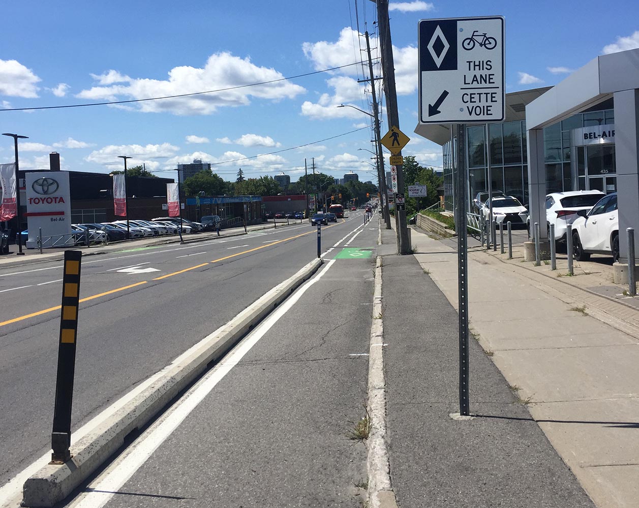
Our ride begins in Centretown, beside the Chinatown arch. Head north along Cambridge St N which eventually veers right to become Laurier Ave before arriving at Bronson Avenue. The rest of this ride is entirely along bike lanes or paths. Follow the route indicated on the map to get across the Ottawa River over the Portage Bridge.

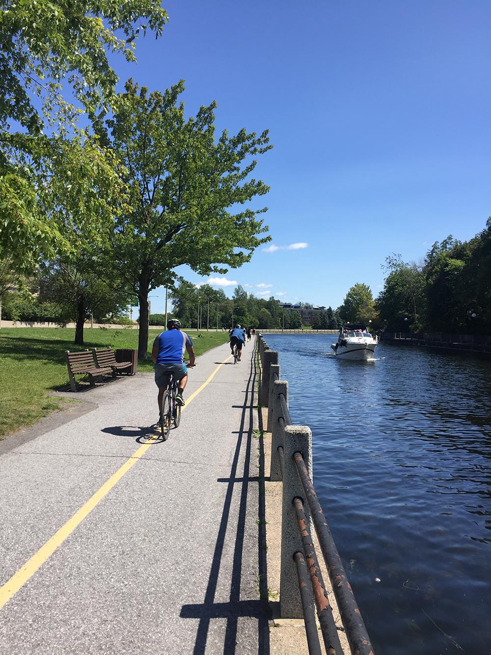
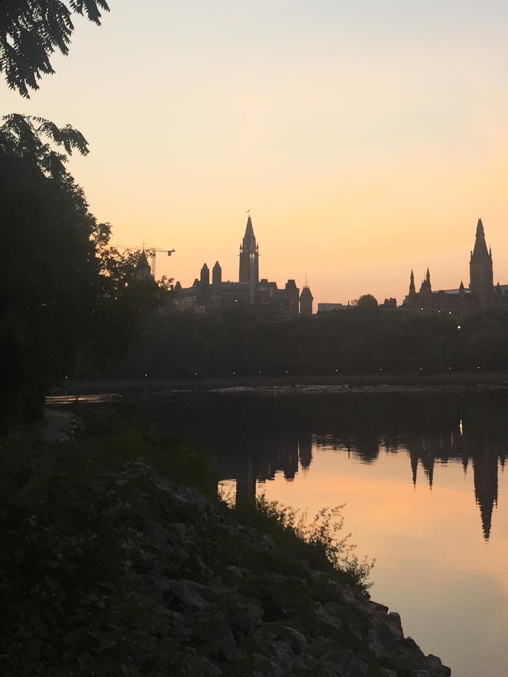
Once across the bridge, turn right along the Voyageurs Pathway where you will experience the most picturesque view of Parliament Hill as you ride down towards the waters edge.

Parliament Hill from the Voyageurs Pathway

Continue along the Voyageurs Pathway through Jacques Cartier Park, and then along the aforementioned boardwalk that floats above the shoreline.

Boardwalk along the Ottawa River just east of Maison Charron

Continue along Voyageurs that weaves it’s way for a nice stretch until you happen upon a gravel path leading off to the right. Turn onto this gravel path. If you pass the big green NCC sign, you’ve gone too far.

Turn on to this gravel path before you get to that big green NCC FIP (Federal Identity Program) sign barely visible in this photo

There are two right turns off this gravel path, the first of which leads to a very nice lookout across the river. Definitely worth visiting if you have the time, but you want the next exit that’ll get you to where we wanna go, which runs along the Lac Leamy discharge into the Ottawa River. Further along this path, closer to the Ottawa River you will discover THE SHIPWRECK!

Gatineau Shipwreck!

According to this source, this ship was originally launched in 1959. In the 70’s it was converted into a a disco-casino pleasure cruise, then in 1976 into a floating cottage. It caught fire in the 80’s and waspulled to this location. So, thar she lies…. for the rest of us to enjoy!

This summer someone has been using the wreck to moore a sad little white power boat, conveniently blocked by shrubbery in the above photo.

Et voila!

Heading back to Ottawa, one may retrace the route that got you to the wreck, or you can continue north via the blue line on the above map. If you choose to take this route, which is really great and follows paths the entire way, I highly reccomend downloading the above map and checking your progress via GPS as you will encounter many merges and turns with minimal directional signage.

Happy trails!

Annie’s Ride! – Thorncliffe Park to Carleton U

Annie is heading to Carleton to do her MBA – way to go Annie! The cost of parking at Carleton is NUTS and vehicular access is a dog’s breakfast and will be for the next couple of years as they go about expanding the O-Train through the campus. So, with these considerations in mind, along with all the other bonus benefits that come with pedal power, biking is a very appealing option. Here is a 13km ride which takes around 45 minutes at a leisurely pace.

Our ride begins at the corner of Rothbury Crescent and Provender Avenue.

START!

Head south on Provender. Just as it bends left, continue straight along a concrete pathway that weaves up to Foxview Place.

Path from Provender leading up to Foxview

Turn left and continue south for a short distance and hop onto the bike lane heading west along Montreal Road.

Bike lane along Montreal Road

Once arrived at the Aviation Parkway, cross over to the opposite corner.

Aviation Pathway on the south-west corner of Montreal Road & Aviation Parkway

Follow the Aviation Pathway for a short distance, then follow the sign pointing towards Clarke Avenue.

Exit off Aviation Pathway towards Clarke Ave

Ride through this quiet neighbourhood, first along Clarke, then Claude St, and finally Mutual St.

Lovely, lovely, lovely

This brings you to St Laurent Boulevard. St Laurent is a busy multi-lane artery often filled with speeding traffic. Ride north for a short block to the lights across to Guy St if traffic is light.

View along St Larent to the lights at Guy St

Alternatively, if traffic is heavy and you don’t feel safe you can walk your bike along the sidewalk to the lights at MacArthur. On the return trip, which I have indicated by an orange line on the map for this section, there is a bike lane from MacArthur to Mutual Street heading north. Why the city didn’t extend this bike lane as far as the lights at Guy St is baffling, especially since it leads straight to Rideau High School and would help encourage student cycling.

Follow Guy St then May St, which are quiet residential streets, to the segregated bike lane along MacArthur. These bike lanes were introduced just a few years ago and are a great addition to the east/west bike infrastructure.

MacArthur bike lane

Ride along MacArthur all the way to it’s western end, then cross the lights at North River Road through the parking lot that links to the Rideau River Eastern Pathway.

Rideau River Eastern Pathway

Follow this pathway to the Adawe Bridge that crosses over the Rideau River.

Riding over the Adawe Bridge

Continue straight heading west along Somerset St East. There aren’t bike paths along Somerset, but instead there is a ‘road diet’ whereby a car is expected to use the shared centre lane when passing a cyclist. Not sure if this is the best solution along most roads but I find in this instance it works quite well.

Somerset road diet in action

Unfortunately the road diet dissapears for a couple of short sections heading up the hill to King Edward Ave. Hélas, another example of Ottawa’s tendency towards missing bike links. Sidewalk it if you don’t feel safe.

The disapearing bike lane along Somerset St E

Cross the lights at King Edward and head through the Ottawa U campus along Marie Curie.

Bike laneing right on through Ottawa U campus

Ottawa U deserves kudos for implementing some pretty good bike infrastructure over the last few years. Continue straight where Marie Currie ends.

Heading straight where Marie Currie ends

This gets you to a funky twisty path down and under the O-Train tracks to Colonel By Drive.

Head down the twisty path where that motorised unicycle dude is heading
Riding under the O-Train to Colonel By Drive

The cross lights at Colonel By Drive lead you to the Rideau Canal Eastern Pathway. Turn left onto this pathway that hugs the canal.

Ridea Canal Eastern Pathway

Continue along the pathway past Dow’s Lake all the way to the Hartwell Locks.

Approaching Hartwell Locks

Once arrived at the locks cross Colonel By Drive onto the Carleton University campus.

Exit off Rideau Canal Pathway, across Colonel By Drive, and onto campus

Et voila!