Beacon Hill beckoned

Figuring out how a place got its name can lead to interesting discoveries. Like the neighbourhood of Beacon Hill. There once was a lighthouse in the middle of the Ottawa River, located a few kilometers down river from the Chaudière Falls. The warning beacon it sent to boaters was visible from a hill south of the river, thus the name, Beacon Hill. Here’s a 20 km loop that goes along the river’s edge to where you can see the remaining foundation of the lighthouse, then veers inland and up the hill before heading back into town.

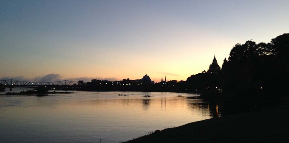
If you go early there’s a good chance you’ll catch some rowers out on the river behind Parliament Hill.

Rowers on the Ottawa

To get across the Rideau Canal, push your bike over one of the two lower locks. I prefer crossing over the second as the wooden walkway is slightly wider than the one closest to the river.

The locks to cross over

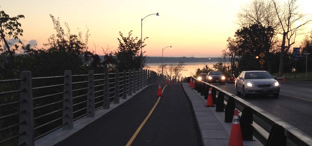
Head up the lane on the other side of the canal, then over to Sussex Drive. Follow Sussex all the way to the roundabout just beyond the entrance to the Governor General’s residence. Get on the bike path on the opposite side of the roundabout and follow it all the way up to where it joins the Rockliffe parkway overlooking the river. I was very pleased to discover they have completed the bike path extension down to where it continues along the waters edge.

New section of bike path along Rockcliffe Parkway

There are a few path links down to the crushed gravel bike path along the shore. My favorite is the first link just left of the entrance to the rowing club boathouse because it affords you great views of the old boathouse, like this.

Rowing Club
Rowing Club

Follow the packed gravel pathway for a nice long stretch.

Que bella!
Ahhh… Que bella!

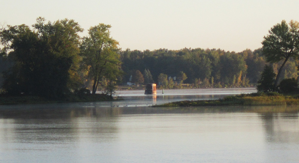
To catch a glimpse of what’s left of the lighthouse, continue along the shore for a bit beyond the directional sign that points off to Ogilvie Road, and you’ll see the remaining foundation through the gap between the two islands. You can’t miss it. Near the bottom of this link there’s a photo of what the lighthouse looked like still intact.

Lighthouse foundation

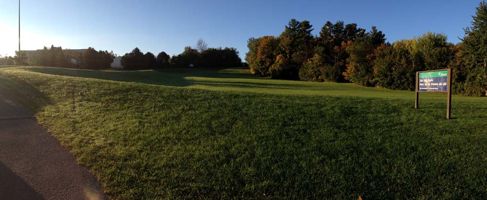
Retrace your route along the gravel path as far as the Ogilvie road turn off. Cross the Rockcliffe Parkway and follow Ogilvie Road as far as Laverendrye Drive. Turn right onto Laverendrye, which will take you to the base of Ski Hill Park. My sister taught skiing there, so the name is true to form. Now it’s a popular toboggan hill. Follow the paved path up the hill to Naskapi Drive, like so.

Path up Ski Hill Park

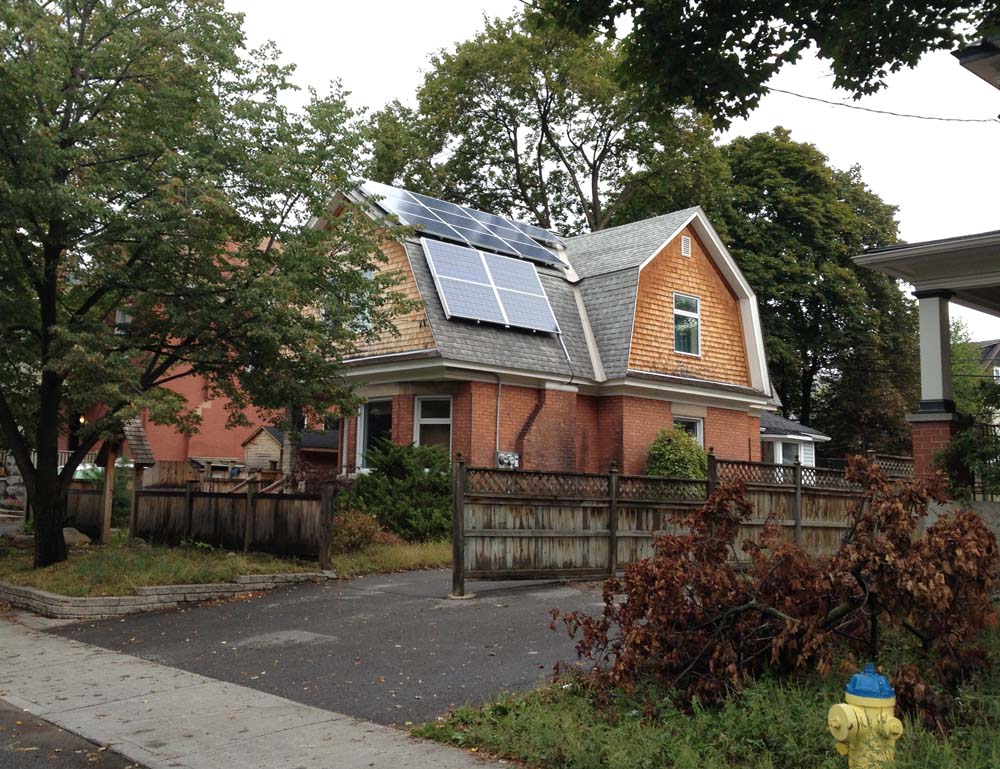
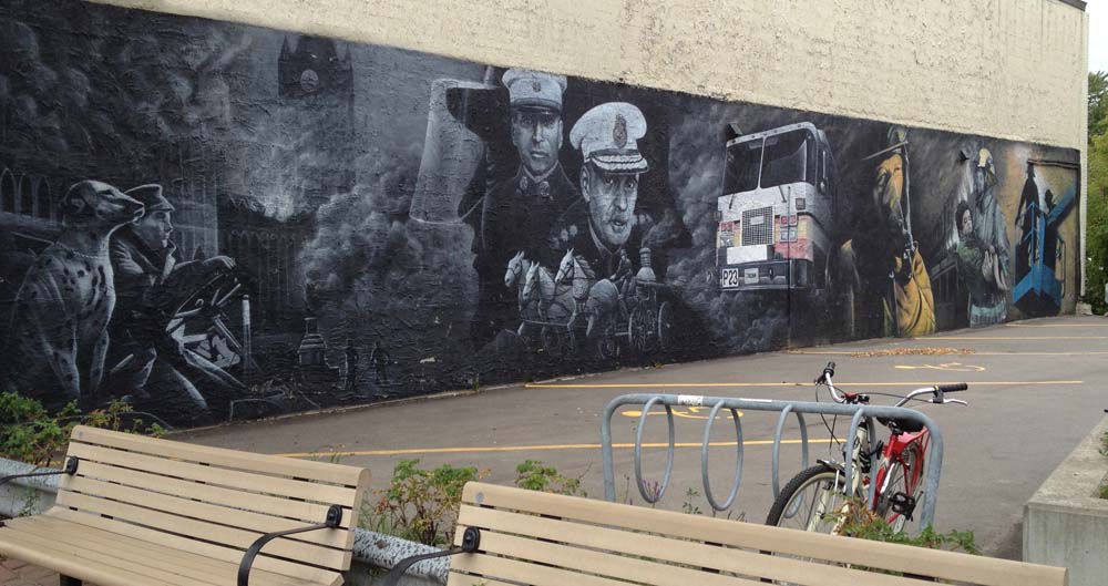
There’s quite an eclectic mix of architectural styles to take in as you wind your way down the other side down to Montreal Road, like this hacienda at the intersection of Rothwell Drive and Cedar Road.

Hacienda
Hacienda

Continue weaving your way down to Montreal Road, then follow it as far as the Aviation Parkway. There is a bike lane that starts just east of Burma Road. Once arrived at the Aviation Parkway, get on bike path at the north west corner of the intersection. Follow it as far as Hemlock Road. Turn west onto Hemlock Road, which will take you to St Laurent Boulevard. Head south for a bit along St Laurent to the back entrance of Beechwood Cemetery. Don’t bother trying to navigate a direct route from one end of the cemetery to the other, just wind your way westwardly and you’ll eventually make it to the other side.

Beechwood Cemetery
Beechwood Cemetery

Follow Beechwood to the path that runs along the eastern shore of the Rideau River. The section of Beechwood between MacKay and the river is pretty narrow and can be tight with traffic, so you might want to walk your bike along the sidewalk for this block. Get on the Rideau River Pathway and follow it as far as the Montreal Road bridge which has a bike lane heading west over the bridge. Turn down Charlotte, which curves west and becomes Laurier, which you can follow all the way back downtown.

Visiting some of The Envirocentre Green Homes Showcase by bike!

Next Saturday, September 28th, a number of homes throughout the city that employ green technologies will be welcoming visitors who want to discover how it’s done. It’s all part of the Envirocentre Green Homes Showcase. What a great idea. Here is a recommended bike route along roads, bike paths and alleyways to a few of those houses located west of Centretown.

This tour starts at the top of the Somerset St bridge above the O-Train tracks, easily accessible from the O-Train bike path.

First stop – 69 Fairmont Avenue.

69 Fairmont Ave
69 Fairmont Ave

Second stop – 15 Garland St, an infill house that you can tour mid-way through construction.

15 Garland St
15 Garland St

Third stop – 296 Royal Avenue. Lots on passive solar design going on here.

296 Royal Avenue
296 Royal Avenue

Fourth stop – 10 Firwood Crescent. Geothermal heating and more!

10 Firwood Crescent
10 Firwood Crescent

Fifth stop – 1288 Kingston Ave – isn’t included on the Envirocentre’s map or Showcase, so it won’t be open for tours, but it is a pretty amazing house that’s been turning greener and greener over the last 30 years. Here it is as seen from the bike path that runs between Kingston Avenue and the Experimental Farm. It’s my sister and brother-in-law’s place. The two big solar panels on the left corner are for water heating. The two smaller ones flanking them are for electricity. All the others covering the roof are for electricity too, that feed back into Ottawa Hydro’s grid. The window’s are triple paned fiberglass. Many, many years ago the weeping tiles around the bottom of the foundation were dug up, cleaned and reset. Before re-filling the foundation we added 3 inches of blue foam insulation to about 2-1/2 feet above grade, then parged before re-filling. That was a big job. It helped pay for my big bike tour around Europe.

1288 Kingston Ave
1288 Kingston Ave

Pedalling to and Paddling on the Rideau River

‘Hey Glenn. want to go for a bike ride?’
‘Sure, let me get the canoe ready.’
‘Oh-kay.’

That’s sort of how the conversation went which led to today’s Ottawa Velo Outaouais adventure! You see my old friend Glenn Gobuyan is even more crazy passionate about biking than I am. He rides everywhere and has bike toured all over Canada and the planet. On one particular exploit he strapped a kayak to a bike trailer designed and built in Guelph, as described in this blog he kept during the trip. The trailer also pulls a canoe, which he did this afternoon, all the way to Mooney’s Bay. Here’s how the journey went. Blue line’s how we biked there, red line’s our canoe route, and green line’s how he biked home.

Our adventure started in Westboro, just behind MEC.

And they're off!
And they’re off!

We biked over to Dow’s lake, along the canal, and up to Prince of Wales Drive which we followed to Hog’s Back and Mooney’s Bay, eliciting lots of double-takes and smiles along the way.

Pulling the canoe along Prince of Wales Drive

We put the canoe in at the Rideau Canoe Club (thank you very much RCC) and paddled up stream along the Rideau to the train bridge and back.

On the Rideau
On the Rideau

Biking back along Prince of Wales Drive we parted ways at the edge of the Experimental Farm where Glenn continued on home with his canoe in tow. SO, a fine adventure. Glenn has previously managed to carry two bikes and passengers in the canoe, which takes a special attachment to keep the bikes stable. We decided to leave that to a future adventure, so stay tuned!

Ottawa Tour of Memorials to Firefighters

On Friday I happened upon a ceremony at the Ottawa Firefighter Memorial Monument outside city hall, commemorating Ottawa firefighters who have perished in the line of duty. On Sunday another ceremony will take place at the Canadian Firefighter Memorial on the edge of Lebreton Flats in remembrance of fallen firefighters from across the country. I remembered a couple of other installations within the city that commemorate our fire brigades, so this morning I hopped on my bike and toured them all. You can too. Here’s how.

.
This route starts at the Ottawa Firefighters Memorial just off Laurier in front of city hall. Along with engraved walls and sculpted figures, there are a number of black marble plaques depicting images of firefighters who have perished in the line of duty with accompanying interpretive texts describing their service and how they died, some dating back to the mid 1800’s. They are a touching exposé of the fatal dangers Ottawa firefighters have faced over time.

Ottawa Firefighters Memorial (one of the black plaques at the back  on the left)
Ottawa Firefighter Memorial (a couple of the black plaques visible at the back on the left)

Follow the path along the canal down to the Ottawa River Pathway behind Parliament Hill. Things get a bit convoluted with the myriad of intersecting paths on the other side of the Wellington Street underpass. Go left at the first fork in the path like so.

Fork in the path
Fork in the path

Stay left all the way until you see one of Ottawa’s oldest bridges on your right, Pooley’s Bridge beside the Fleet Street Pump Station.

Fleet St Pumping Station and Pooley's Bridge
Fleet St Pumping Station and Pooley’s Bridge

Cross over the bridge, from which you’ll be treated to this view looking north. There’s a kayakers course down there amongst the rapids.

View from Pooley's Bridge
View from Pooley’s Bridge

Once on the other side, turn right along the path that takes you between the kayak course on your right and the condo’s on the left. This will take you right up to the Canadian Firefighters Memorial.

National Firefighters Monument

Next, follow the Ottawa River Pathway all the way to Westboro, where you’ll discover this mural across the street from Mountain Equipment Co-op.

Westboro mural
Westboro mural

Next, bike over to Scott Street and follow the bike lane all the way to Holland. At Holland the lane disappears and is replaced with sharrows, which also vanish further on – super dangerous along this busy road. So cross Holland and get on the path that runs along the north side of Scott St, like so.

Path on north side of Scott St
Location of path on north side of Scott St

Turn south on Bayview and weave your way over to the corner of Garland and Wellington St W, as shown on the above map, where you will happen upon this sculpture of a hydrant with firefighter boots and a hose on top. It’s part of a series of fire hydrant sculptures that line Wellington West.

Hydrant sculpture
Hydrant sculpture

To complete the loop, head east on Somerset St W all the way to Cambridge St, then north to Laurier and the top of Nanny Goat Hill, then straight down the Laurier bike lane to the Ottawa Firefighter Memorial Monument where the tour began.