
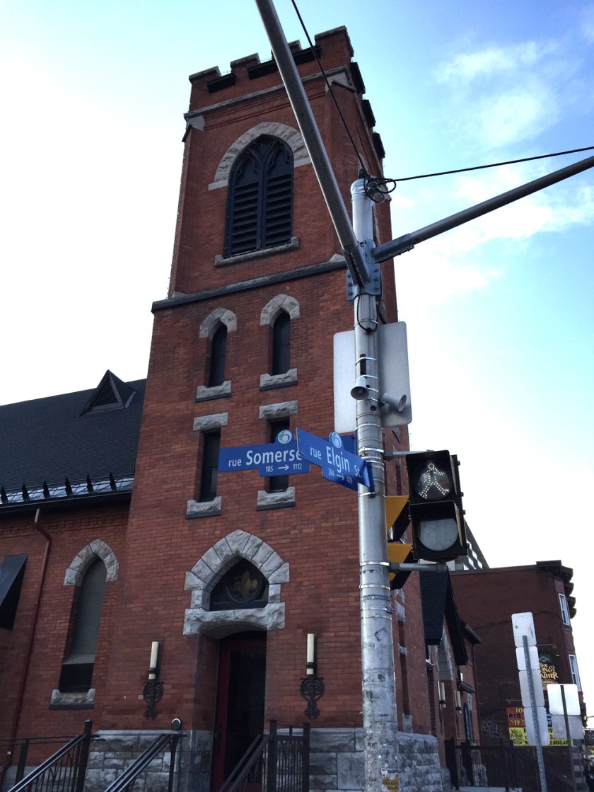
Here’s a route from the corner of Somerset & Elgin to the Children’s Hospital of Eastern Ontario (CHEO).
The blue line on the map below is the route I followed. A lot of road and path construction is happening between our start and finish points. The green line is the route I would take after all the construction dust settles. UPDATE – summer 2018: The construction along Hurdman Bridge has been completed so the green line option is once again an option.
.
I rode down Somerset to the canal and crossed over the Corktown Footbridge.

UPDATE June 2017 – Previous version of this took a detour to north as the Nicholas St underpass was under construction. It’s still partially under construction, but you can ride under it regardless.
I cross Colonel By Drive then ride under the Nicholas St underpass. I continue straight along Marie Curie, across King Edward at the lights, then down Somerset all the way to the Rideau River and the Adawe pedestrian/cyclist bridge.

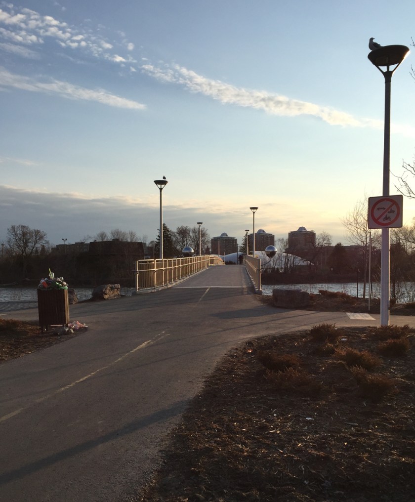

Once arrived on the eastern shore I turned right and followed the Rideau River Eastern Pathway.

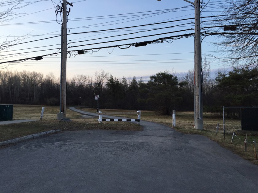
After passing under the Hurdman Bridge I turned off the path and rode along the detour past the major construction happening in and around the Hurdman transit station. This path is mostly crushed gravel.

The path becomes paved and continues through to the major traffic intersection at Riverside Drive and Industrial Avenue. Once across Riverside Drive I continued along the path that runs along Industrial Avenue beside the memorial to victims of cancer.

After crossing Alta Vista Drive the path then veers off to the right away from busy Industrial Avenue.

I then followed Coronation Avenue for a very short distance before turning on to Station Boulevard. At the end of Station Boulevard there is a path that cuts through to the ring road that circles the CHEO campus.
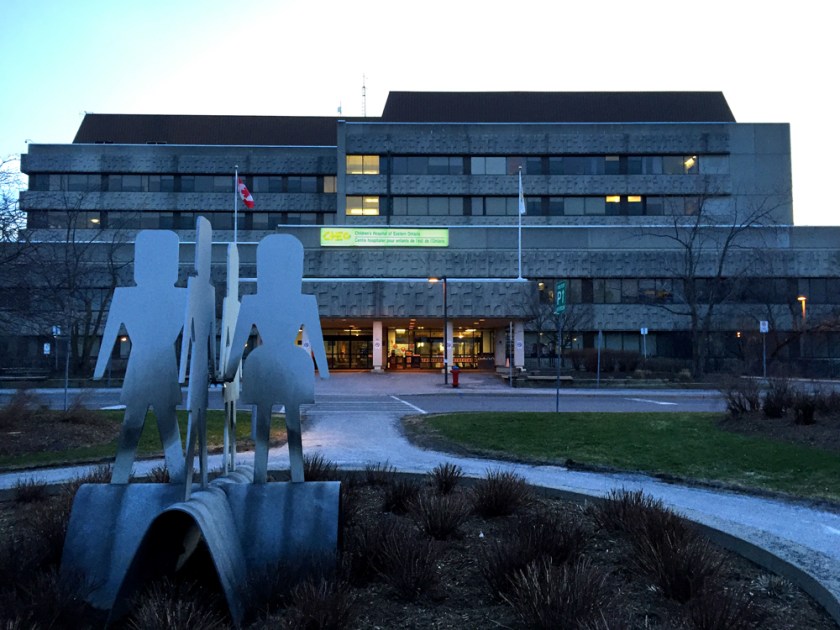
I then followed the ring road around to the main entrance of the hospital. Because there are no shoulders along the ring road one may feel more comfortable cutting through the parking lots, as suggested by the yellow line on the above map. I noticed a couple of bike racks right near a small playground, indicated by the yellow drop on the map.
Et voila!

thanks for posting this neglected but beautiful and useful route. It makes an important connection in the city. I am more than a bit dismayed about the city’s ‘detours’ for the campus tunnel. They were able to put in entire new lanes and reroute the 417 to accommodate cars. Proposing we take OCtranspo is self serving and ridiculous. (Maybe responsible city staff should be made to use the detours on foot or bike daily for a month). Thanks again – look forward to these great posts!
Thanks – glad you like the route. I understand councillors McKenney and Fleury are working with city staff to make the Corktown Bridge to Ottawa U campus detours as safe as possible so I’m anxious to see what the end result will be. I’m also looking forward to see what the revised link will look like in August once the construction is completed. Stay tuned!
How long does it take to get from Centretown to CHEO?
About 46 minutes. That’s at a very reasonable meandering pace – not too fast, not too slow.