
Someone was wondering via Twitter if there is a safe way to bike from Parliament Hill to the Ottawa Hospital General Campus that avoids the ‘horrible Smyth Road bridge’. Here is a route indicated by the blue line on the map below, starting at Parliament Hill to the Ottawa Hospital General Campus and beyond through the rest of Ottawa South.
UPDATE – Spring 2020: The new path along the O-Train from Ottawa University was a big ground breaking change for this route so I’ve updated it accordingly.
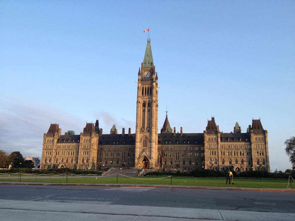
Leave Parliament Hill, cross Wellington and head a short distance down Elgin Street.

Turn down the ramp beside the NAC across for the War Memorial, like so.

Ride all the way down the ramp past the NAC stage door, and get on the bike path that runs along the canal.
Take the pedestrian/bike bridge over the canal across from Ottawa of University, like so.

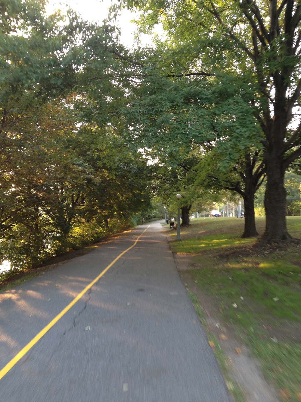
Cross Colonel By Drive and go straight under the O-Train tracks. There is a winding path that gets you up to train level. Follow that path heading south parallel to the tracks. Follow it all the way to Hurdman Station.
Cross under Hurdman Station and Continue straight on towards the Riverside Drive/ Industrial Avenue intersection. Now I won’t deny this is a spooky major vehicule intersection, however don’t let it intimidate you. There are usually many other pedestrians and cyclists crossing at this spot and the path does continue on the other side of Riverside Drive along Industrial Avenue.

Continue along Industrial Avenue, past the giant metal flowers installed in Cancer Survivors Park.

The first street you will come to is Alta Vista Drive. There is a bike path that starts at the south east corner of Alta Vista and Industrial. Follow it.

It ends a short distance on at Blair Street. Turn right on Blair, then take an immediate left on Station Boulevard. Follow Station Boulevard right to the end where there’s a bike path that takes you through to Ring Road.

Turn left on Ring Road that rings around our first destination – the Ottawa Hospital General Campus!

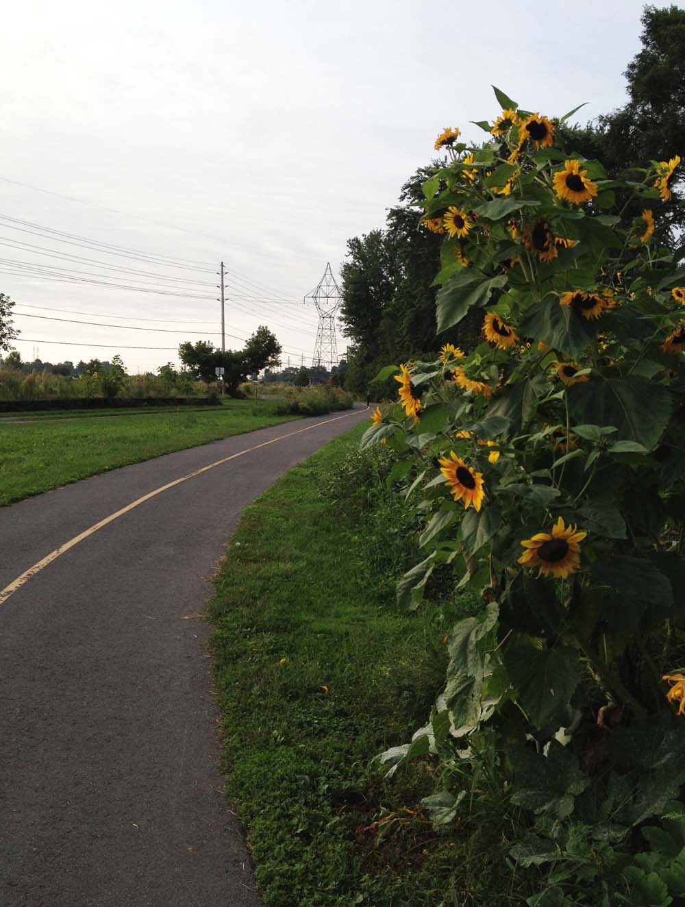
For those interested in continuing on further into Ottawa South, exit the Ring Road at the first left which is a car entrance to the grounds of the hospital. Turn right on Roger Guindon Avenue, and follow it all the way to Smyth Road. Across Smyth you will see the start of another bike path. This one is really great, because it travels right across Ottawa South through mostly green space all the way to Walkley Road, and goes past the very impressive Kilborn allotment gardens. Our journey ends here, however for those that wish to travel even further south there are bike lanes along Conroy Road as far as Hunt Club Road. Have a great commute!
Et voila!

I enjoy your blog to get ideas for places to explore by bike! Just wondering if you’re familiar with Google Map Maker; it would let you permanently update some of your discoveries on Google maps. I’ve been using it to correct the cycling layer a lot; places that have paved shoulders or pathways that aren’t mapped, or worse yet, places that claim to have paved shoulders but don’t (such as a memorable long-ish section of P.O.W. … yikes). Just thought it might be something you’d enjoy, particularly over the winter to daydream about next year’s rides! Thanks for all the great photos 🙂
http://www.google.com/mapmaker?tab=MM
Thank for liking my blog, and for the link to Google Map Maker. On quick review it looks like I’ll need some time to figure out how it works. Look forward to seeing what it’s all about.