
Greenboro is a residential community located just south of Johnston Road and west of Conroy Road. Here’s a route I tested out that’ll get you from Greenboro to downtown.
.
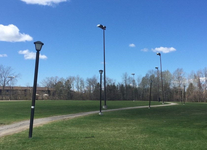
I started off from the Greenboro Community Centre and headed west towards Bank Street, following a selection of the many multi-use paths that weave their way through the community.
After crossing Albion Road and cutting through Pushman Park, I turned right on Pebble Road then Left on South Keys Place to Clearwater Crescent. Across Clearwater Crescent there are a series of paths that cut through to Southgate Road.

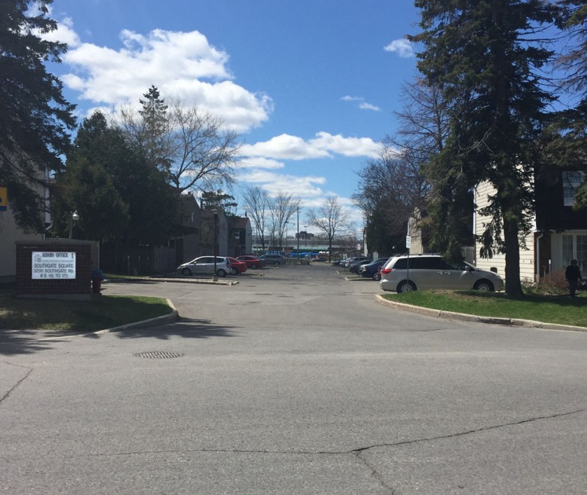
I rode north on Southgate for half a block before turning into the lane heading into a housing complex called Southgate Square. This I followed a short distance to Bank Street.
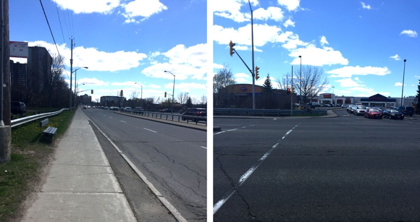
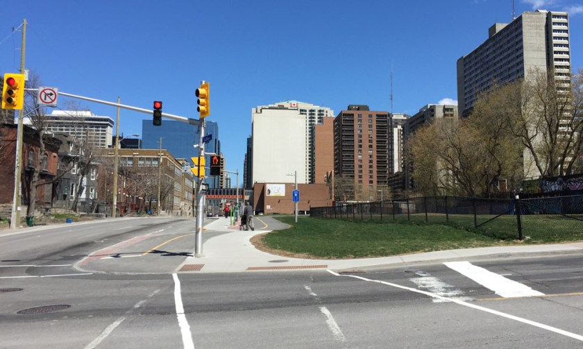
The next section of the route is less than stellar. That’s because there is no clear safe way to bike across Bank Street to access the Sawmill Creek Pathway on the opposite side of the South Keys Shopping Mall.
Once at the end of the driveway there is a shortcut that I took up and on to the sidewalk along Bank.

I followed the sidewalk south a short distance to the traffic lights across Bank Street into the South Keys Mall parking lot. The only crossing is on the south side of the intersection. I stayed along the sidewalk on the other side until I was able to access the parking lot.
Access to the Sawmill Creek Pathway is though a tunnel under the O-Train tracks at the south end of the mall, so I rode through the mall parking lot to get there. The sign at the entrance to the tunnel is confusing, however I have Tweeted confirmation from OC-Transpo that it is meant to be interpreted as ‘no riding your bike’, versus ‘no bikes allowed at all’.

Beyond the tunnel is the Sawmill Creek Pathway, which is wonderful to ride along all the way to where it intersects the Brookfield Pathway.

I turned left at the Brookfield Path intersection which eventually brought me to the Brookfield Road round-about.

UPDATE – 2020 : A separated bike path has been added to the south side of Brookfield Road which is fantastic! Continue along this path to Riverside Drive.
I then crossed Riverside Drive and Hog’s Back Road, then continued along the path on the north side of Hog’s Back Road, which is identified as a shared pathway. That said, the path on the south side is commonly used by riders heading west as it is also paved and twice as wide.

Update, 2020 – They are rebuilding the bridge over Hog’ Back Falls which requires walking your bike along a tiny detour, identified by the purple line on the above map. Bonus – it affords a spectacular view over the falls.

I then followed the path that dips under Hog’s Back Road then down along the Rideau Canal.

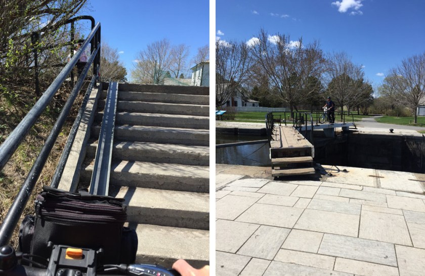
I crossed the canal at the locks near Carleton University. There is a metal u-channel to push your bike up the flight of stairs that gets you to the locks.
I then rode down the hill and along the paved path that runs beside the canal all the way to the Dow’s Lake pavilion. I then crossed Prince of Wales Drive and turned left along the bike path for a short distance and then turned right onto the Trillium bike path that heads north beside the O-Train tracks.

I followed the path along Albert Street as far as the crosswalk that leads towards the Laurier Bike Lanes.

The path continues through the intersection at Bronson & Slater before eventually cutting through to the Laurier Bike Lanes.
The laurier Bike Lanes cut west to east across downtown as far as City Hall.

Et voila!
N.B. Here is another route I have ridden. I don’t recommend it as much as the route described above. That’s because while Conroy Road has bike lanes, it is still a major arterial road with lots of speedy traffic.

Could I have a bike route from Strathcona Park to South Keys shopping centre?
Hi Jeanne. I have posted the route on my blog. Cheers: https://ottawavelooutaouais.com/2020/05/22/biking-from-strathcona-park-to-south-keys/