
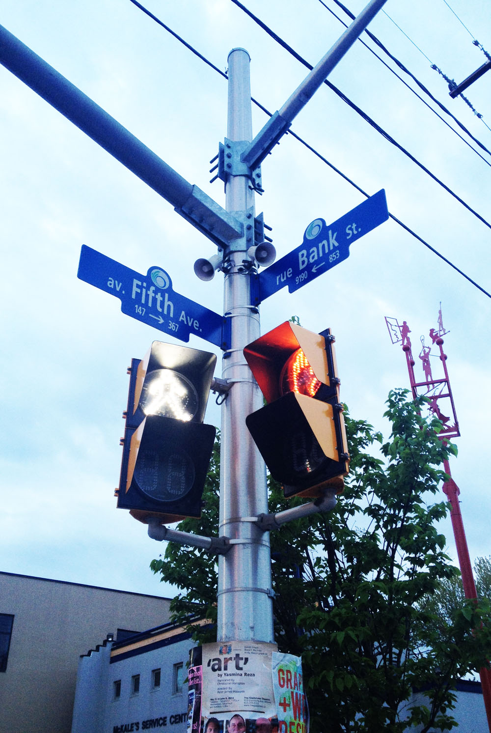
Chris was wondering what route I would choose to get from Fifth and Bank in the Glebe over to Gloucester High School in the east end of town. It’s a tricky ride. The challenge lies in figuring out safe ways to cross a number of major north-south arteries including the Rideau Canal, the Rideau River, the Vanier Parkway, St Laurent Boulevard and the Aviation Parkway, without the route becoming too erratic. I also wanted to avoid bicycling down busy streets. Here’s what I came up with. Blue line shows how I got there. Red lines are variations I took on the way back.
Headed straight down Fifth Avenue towards the Canal. Crossing Queen Elizabeth Drive to get to the path along the canal can take awhile if traffic is heavy, however this will be alleviated when traffic lights are installed at the intersection this summer. UPDATE – July 2014: Signalled crossing is in!
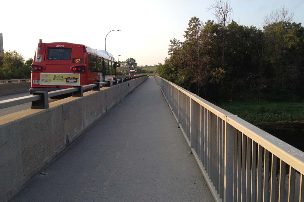
Rode north along the path and crossed at Pretoria Bridge, which has a bike lane.

That took me to the intersection of Hawthorne Avenue and Colonel By, on the east side of the bridge. Things get a little tricky at this spot. If traffic is bad I recommend crossing to the opposite corner and walking your bike for a short distance along the sidewalk to where it veers left along Echo Drive, like so.
I then turned down the first street on the left which is Graham Avenue. It has a bike lane.
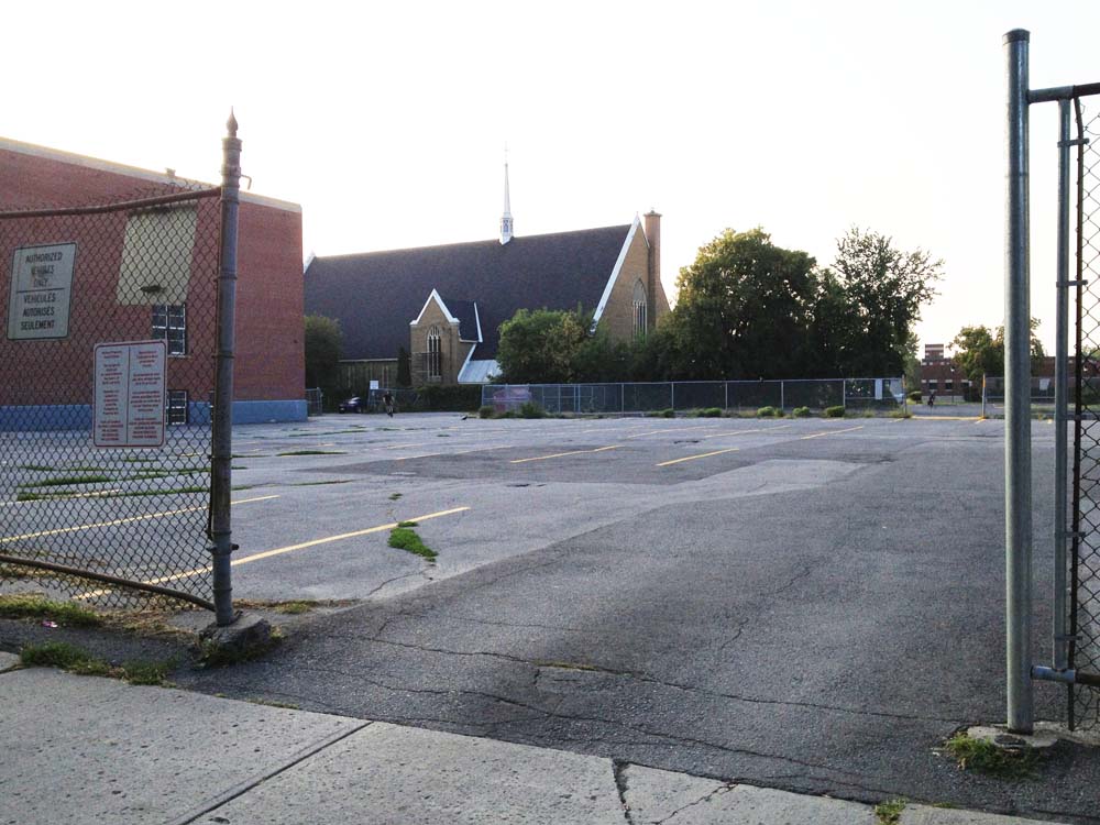
Three quarters of the way down Graham Ave, before reaching Main Street, I took a shortcut through the parking lot of the school on the right to avoid Main as much as possible.
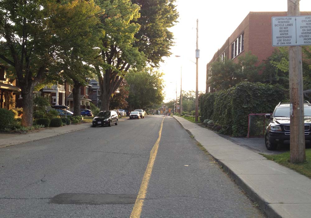
Unfortunately I had to ride along Main for a block before turning left onto Springhurst Avenue. UPDATE – Summer 2017: There are now protected bike lanes along Main Street.
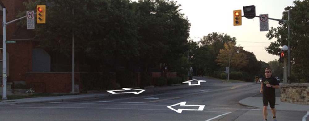
When traffic is heavy along Main, as it tends to be at rush hour, I cross at these lights at Evelyn Avenue and walk my bike along the sidewalk to Springhurst. UPDATE – Oct 2014: A section of Lees, joined at the end of Graham, now has a bike lane heading east, as described in this post, providing an alternative to riding along Main. There is no bike lane along Lees heading west so I took Evelyn Ave on the way back, as per the above map, thus avoiding riding along dangerous Main and Lees.

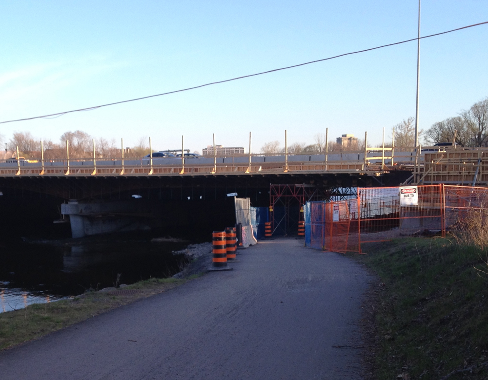
I rode to the end of Springhurst to get on this stone dust path and veered left for a short distance along the edge of the Rideau River as far as the Transitway bridge. UPDATE – Spring 2016: An important link along this route, the bike path along the transit bridge over the Rideau River, is closed for LRT construction Until January 2018. An alternative route around this construction site is shown as an orange line on the above map.

I took the path along the transitway bridge over the river, like so.
Once on the other side of the river I turned right, circled under the bridge, and headed east along the Rideau River Eastern Pathway.
The path under the Queensway remains accessible while they continue with construction, however the passageway under the scaffolding is pretty narrow so watch out for oncoming traffic.
I turned off the path at the sign pointing to River Road.

I turned right off River Road onto Presland. There’s a pedestrian cross signal to get across the Vanier Parkway.

I continued all the way down Presland which became Hardy Rd.

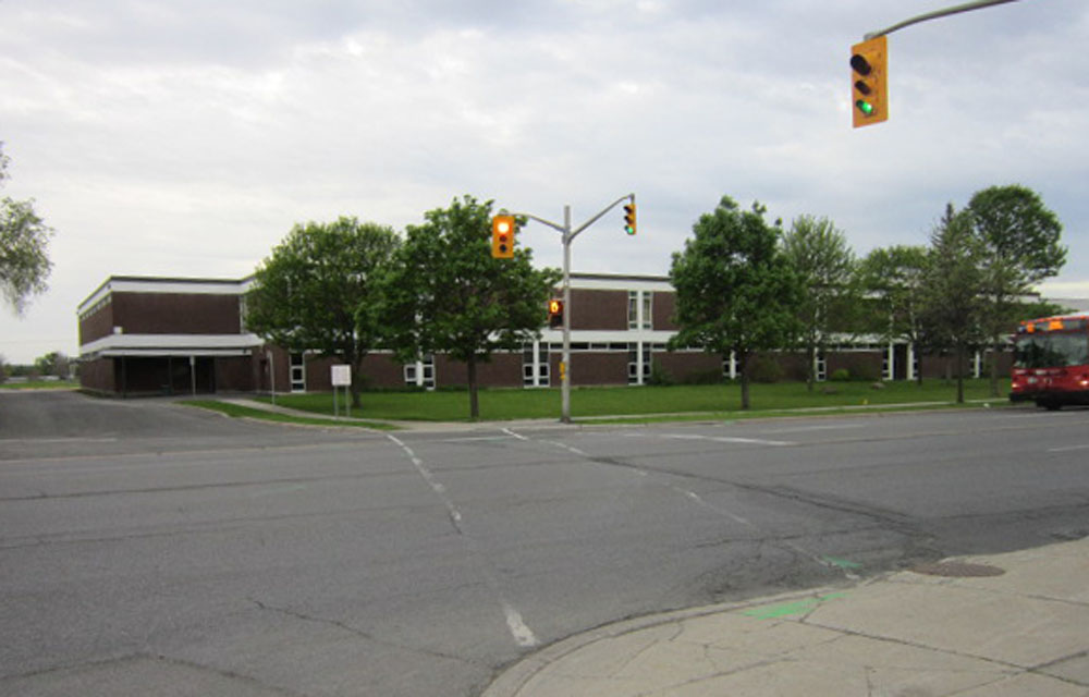
At the end of Hardy I wove my way north-east a few blocks and crossed St Laurent Boulevard at Donald St. It’s a 4 lane intersection, but not for too long beyond St Laurent. I then wove my way further north-east along quiet residential streets to Gardenvale Road, off of which there is a short path that takes you to the Aviation Pathway.

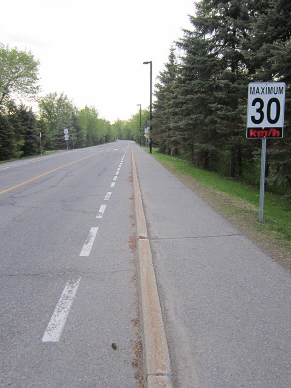
I then crossed Aviation Parkway at the entrance to the Cité Collégiale and rode along its narrow but adequate bike lane into the centre of campus.
I rode through the campus, turned left on Bathgate Drive, then turned right into the National Research Council campus.
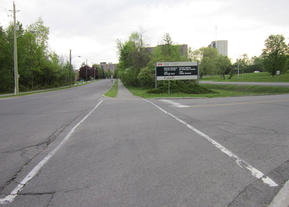
Wove my way through the NRC campus, then turned right on Blair, which is a speedy two lane road, but I only followed it for a short bit and it has a bike lane.

Turned left into the quiet residential area of Cardinal Heights along Mowat St, then right on Crownhill St, and finally left on Appleford St which brought me right to Gloucester High School. Ta-da!
Now on first blush one might think it preferable to take the more direct route from the end of Hardy St along Coventry Road and Ogilvie Road beyond St Laurent Blvd. There is a bike lane along Ogilve Road as indicated on Google Maps bike layer, however Ogilvie Road is a 4-6 lane highway wannabe, and the bike lane ends at Blair Road heading east. I took this route heading back. Here’s what it’s like just west of Blair. Lots of trucks too.
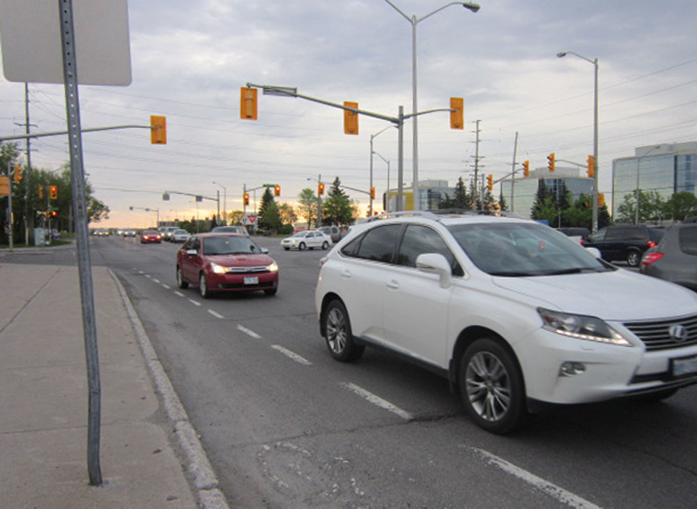
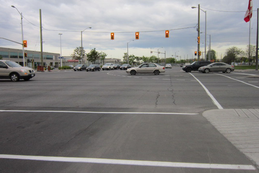
Coventry Road doesn’t have a bike lane, and this is what St Laurent looks like from Ogilvie looking across to Coventry.
Google maps estimated the alternate route I chose through Cite Colégiale and the NRC would take an additional 10 minutes versus heading straight down Coventry and Ogilvie.
So there you have it. It was nice to get back on Presland.

