
Chris was wondering if I could recommend a safe route from the intersection of Aviation Parkway and Montreal Road to the path below Parliament Hill. Here’s what I came up with. Blue line on the map is the route I followed. Red line is an alternate route described in more detail on the May 15th ‘Bike commute from Rockcliffe Park to Downtown and Chinatown‘ post.
Our journey begins at the North/West corner of the Aviation Parkway and Montreal Road, across from the CMHC headquarters where I joined the Aviation Parkway Path and headed north.
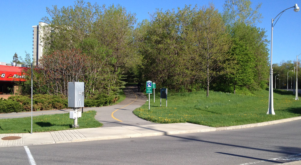
The path weaves it’s way through a wooded area. Just before the path exits the wooded area there is a short unmarked dirt path that turns off to the left. This path brought me to Truro St.

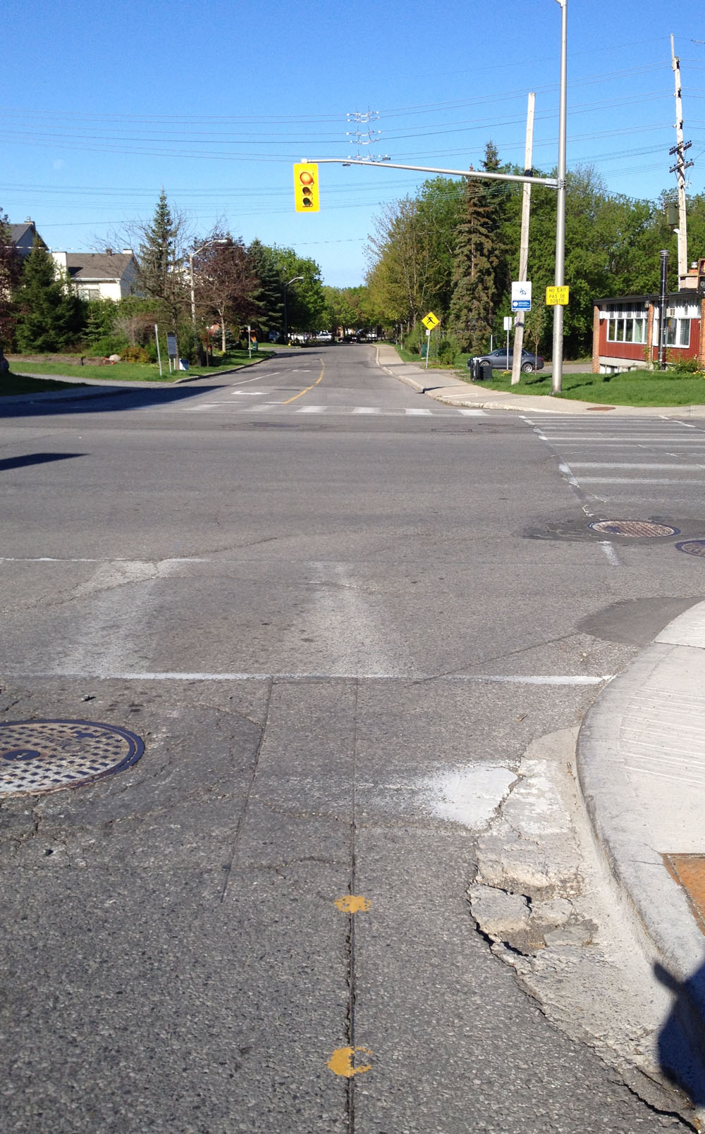
I turned left on Truro, then right on Britany Drive. I followed Britany Drive down to where it crosses St Laurent Boulevard. There are painted yellow dots on the asphalt at this intersection. Stopping your bike above these dots activates the timer for the lights to change.
I crossed St Laurent and continued straight on Dunbarton Ct which eventually turns to the left. A bit further on I turned right onto a lane covered with pavers with an open waffle pattern. The lane is a short bumpy connection to Pauline Charron Pl. UPDATE- November 2016 – The connection has been rendered un-bumpy!

I followed Pauline Charron to a path off to the right that cuts through Richelieu Park over to the Richelieu-Vanier Community Centre parking lot.

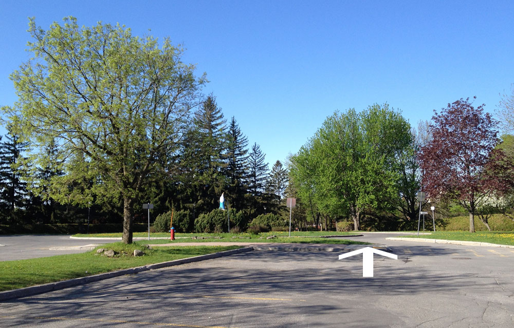
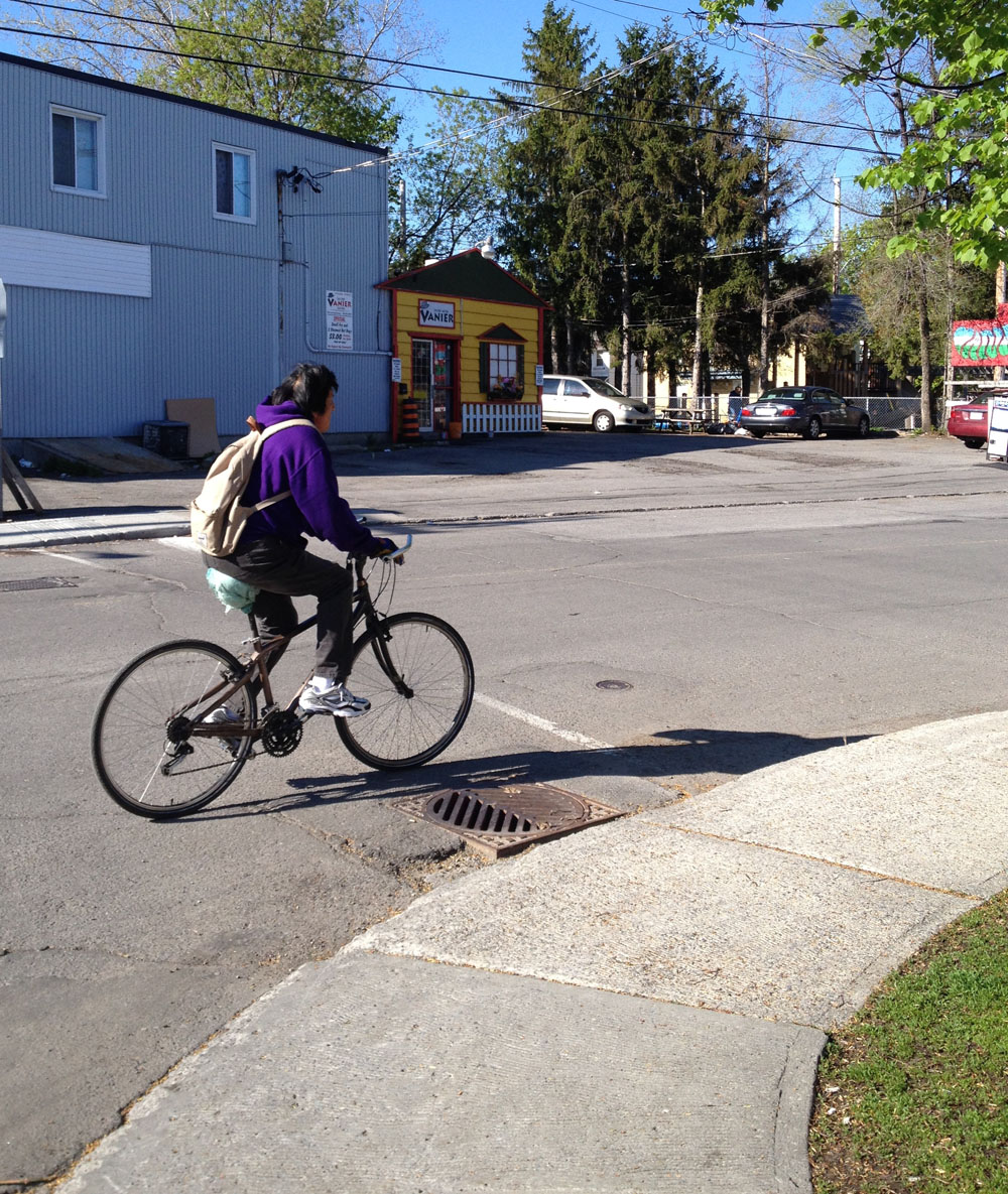
I continued through the parking lot past the crowned statue of Mary dressed in blue, and down Pères Blancs Ave. as far as it went to Marier Ave.
I turned left on Marier, past the house with the wild collection of plastic lawn ornaments.

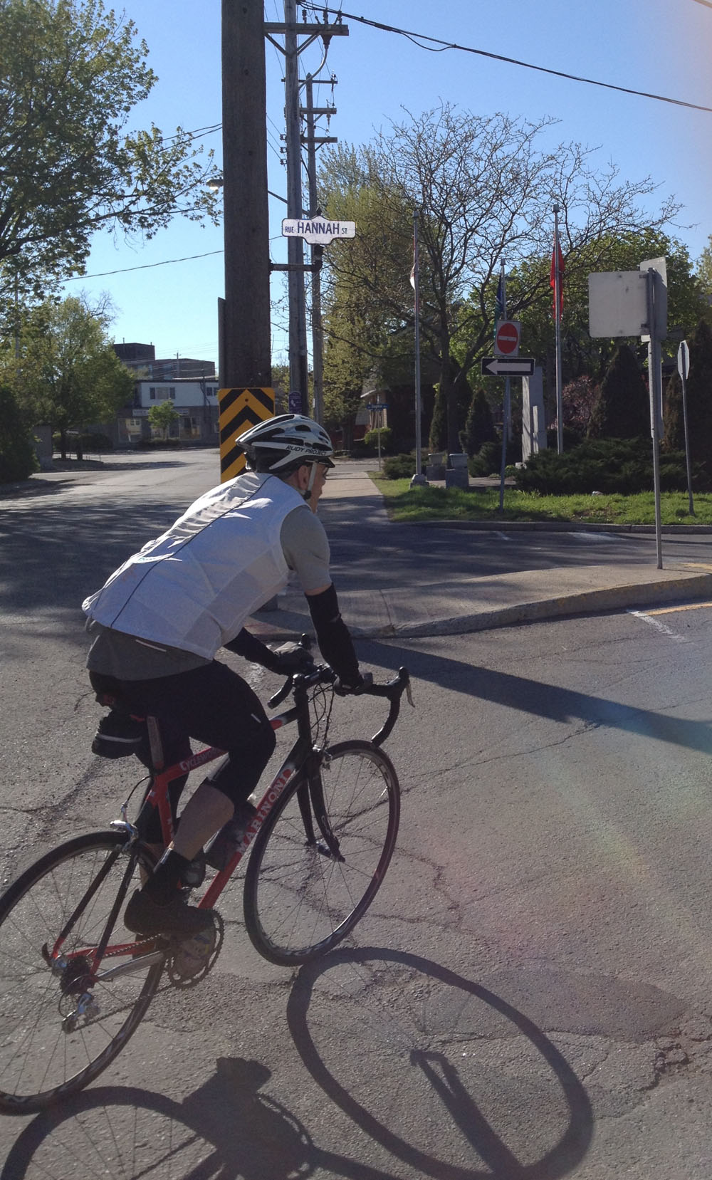
Just a bit further on I turned right on Hannah St.
I continued a short distance along Hannah St and turned right onto Deschamps Ave.
I crossed the busy Vanier Parkway at the signalled crosswalk at the end of Deschamps Avenue. This is a much safer location to cross than either Montreal Road or St Patrick St.
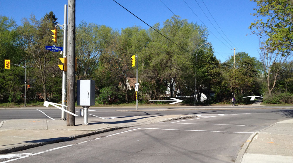
There’s short path on the other side of the Vanier Parkway that links to Coupal St. I followed Coupal to North River Road, then crossed the park along a path that linked up with the Rideau River Eastern Pathway.
The path goes under the St Patrick Street bridge as far as Stanley Ave. The route continues west along Stanley for a short distance before re-becoming the pathway just beyond the playground.
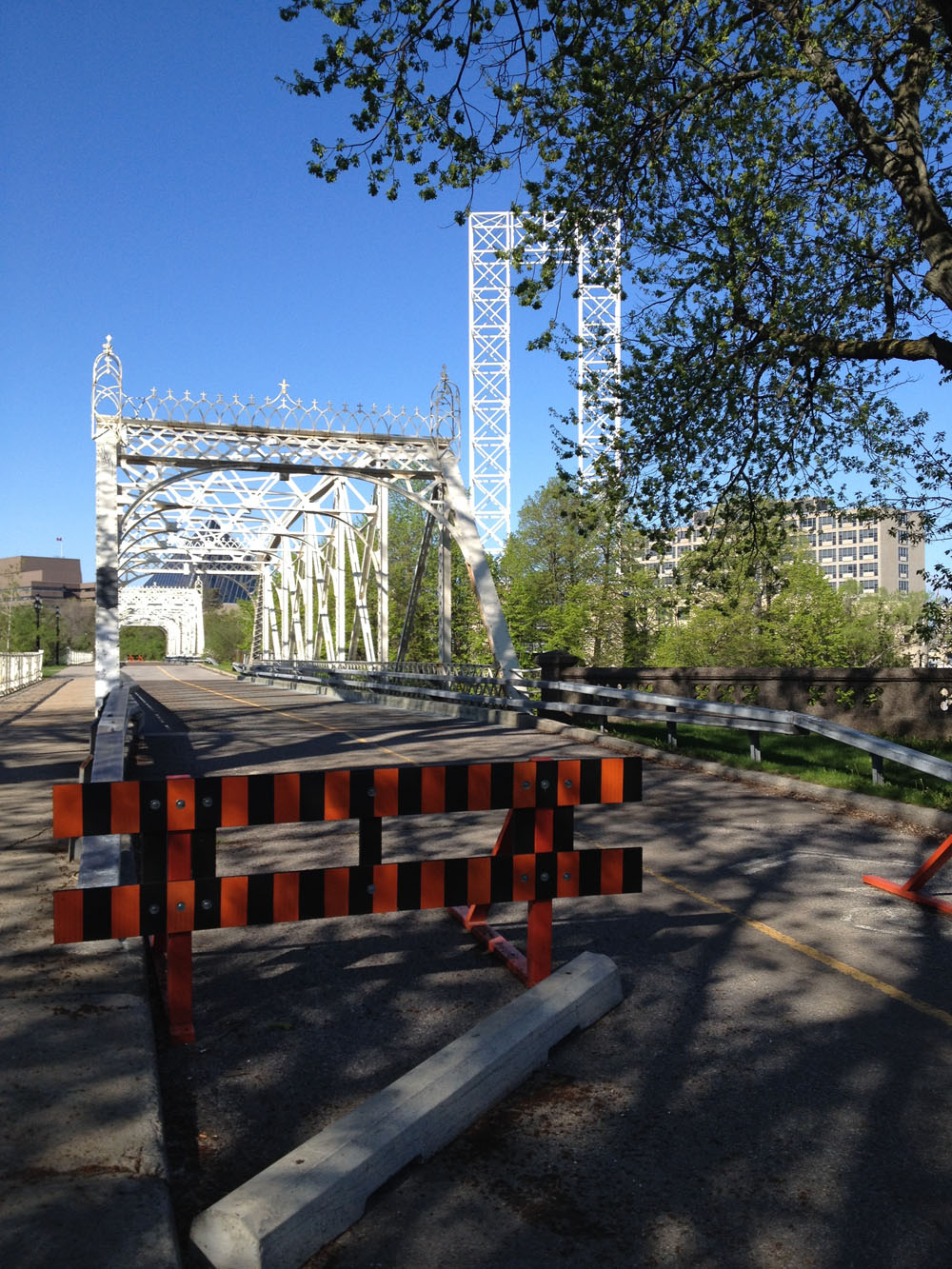
I rode along the pathway, then crossed the white Minto bridges over the Rideau River. The bridges are presently closed to vehicular traffic but not to bicycles. Whenever they do re-open to car traffic, and if you aren’t comfortable with sharing an open metal gridded surface with cars (the sound car tires make on these surfaces can be pretty spooky and intimidating), you can push your bike across the very generous wooden sidewalk on the side of the short bridges.
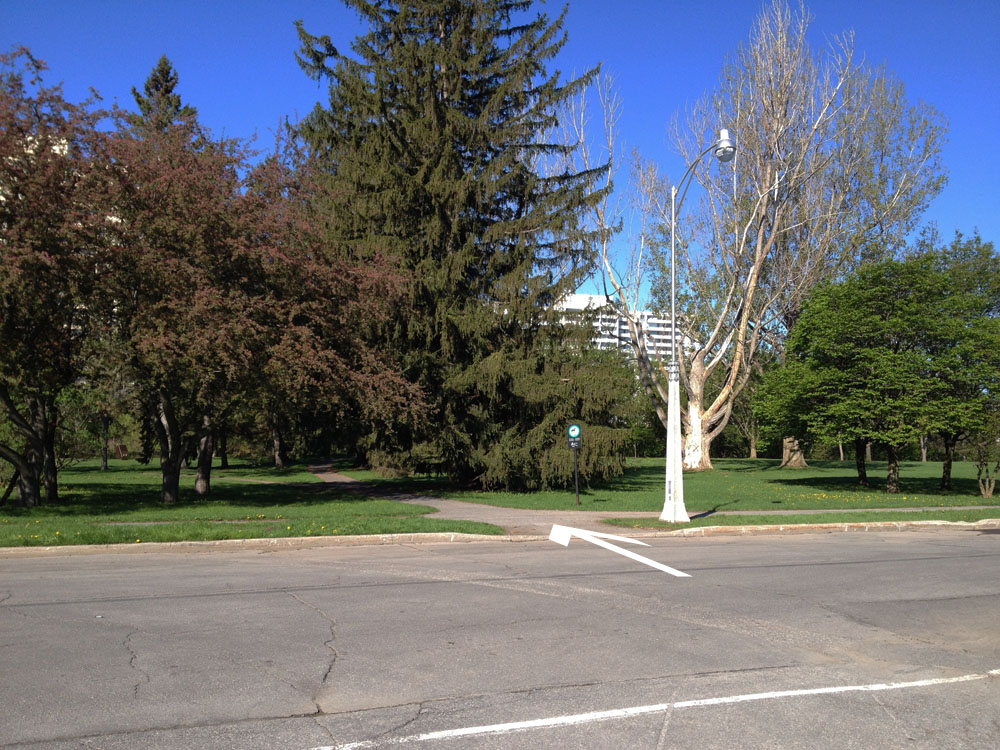
Once over the bridges I turned left onto the path that takes you along the river.

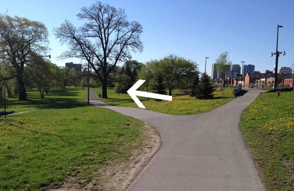
A bit further on the path forks to the left along the river, or right towards King Edward. I stayed left.
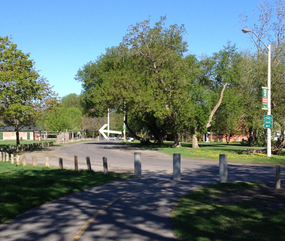
I followed the path until it reached Rose St. I went down Rose St, then turned right on St Andrew to the crosswalk across King Edward Avenue.

I then followed St Andrew all the way to Sussex Drive. Sussex is presently under construction, however I was able to cross over to the National Gallery drop off lane way. As construction is unpredictable by nature, or if traffic is heavy along Sussex, one may be required to walk one’s bike along the east sidewalk of Sussex for a couple of blocks and cross Sussex at the lights at St Patrick.

When all the construction is completed there will be bike lanes along Sussex that will extend all the way to Stanley Avenue and beyond, as described in this attachment (click).
Once on the open plaza in front of the National Gallery I crossed over to the pathway that runs along the edge of Major’s Hill Park right here.

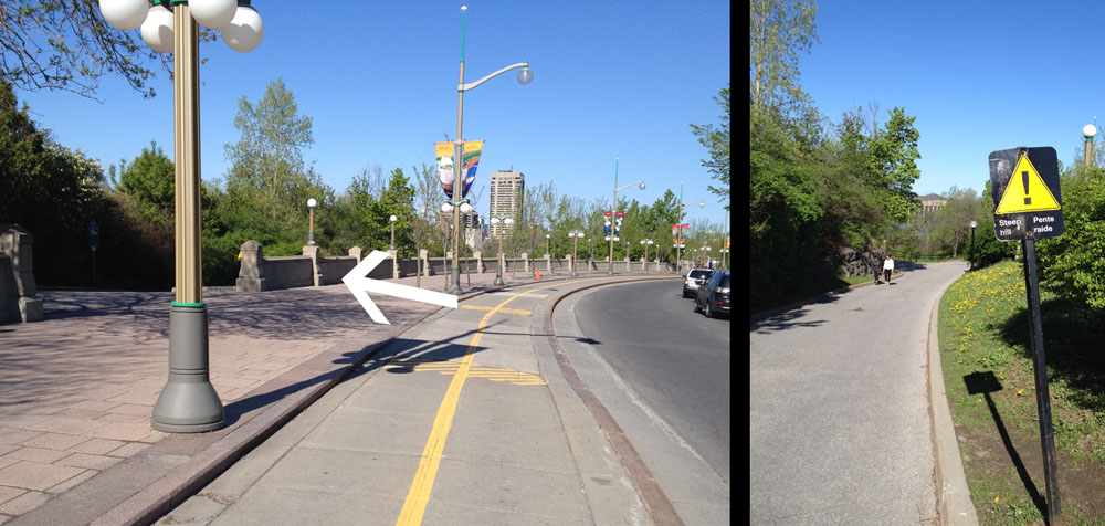
I turned right onto the pathway and followed it to the end of Major’s Hill Park, before turning left onto the paved lane that goes down what my good friend Nadia calls Bastard Hill. It’s really steep.
This winds down to the canal locks, over which you cross to get to our final destination – the path below Parliament Hill. Ta-dah!


One thought on “Bike commute from the intersection of Aviation Parkway & Montreal Road to Downtown”