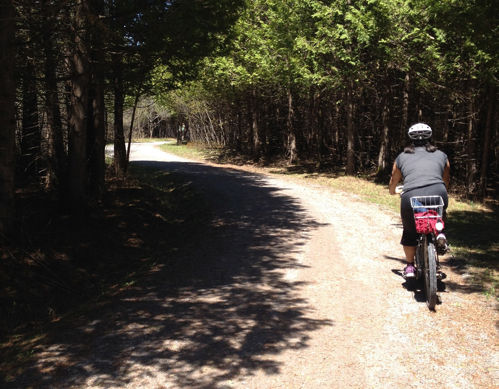
This year’s Mother’s Day was a beautiful sunshiny one, perfect weather for a family ride. We decided to check out a section of the Greenbelt Pathway in the west end, starting from the NCC parking lot at Shirleys Bay. Here’s how it went.
the Connaught rifle range is further west of the parking lot. We could hear rounds going off in the distance. There’s a good chance you might hear them any time you choose to visit.
There is no signage directing you from the parking lot to the trailhead, but Google Maps indicates a few dirt roads to follow to get there. We headed east along Shirley Blvd for a short way, then south.
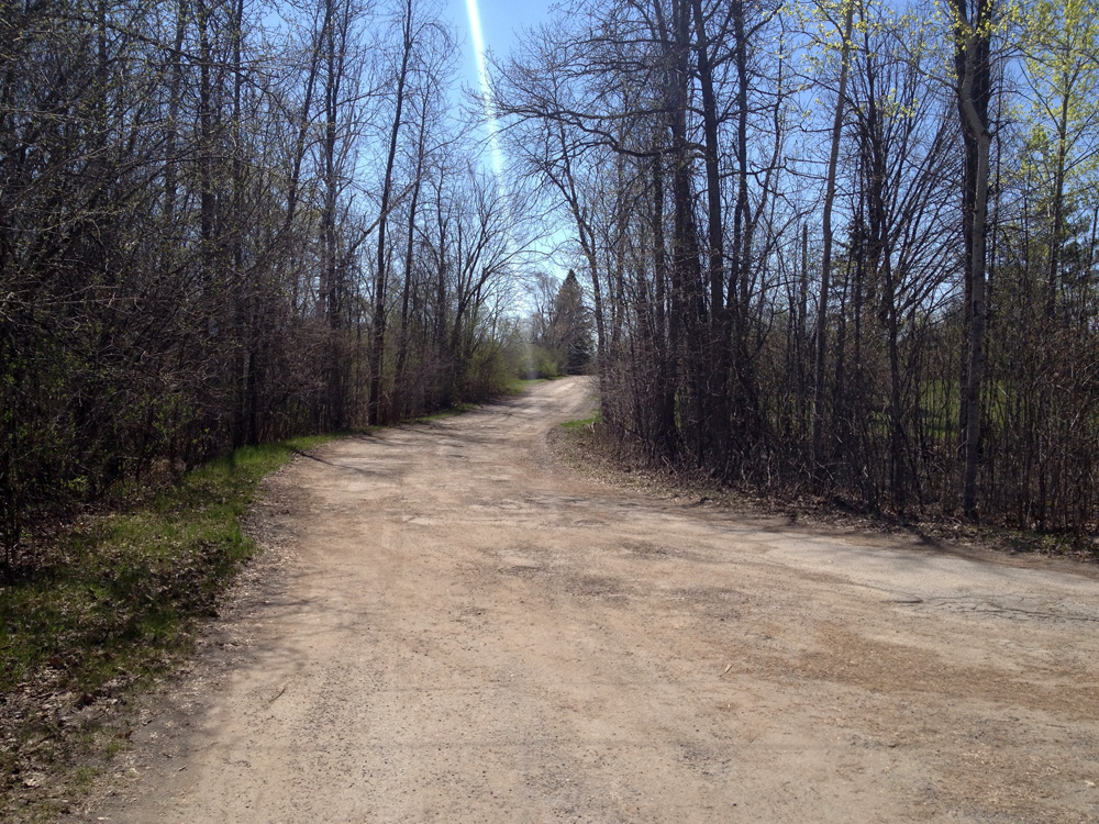
We came to a fork in the road and headed left along Riverdown Drive.

This brought us to the Greenbelt Pathway trailhead.

The path meandered through an assortment of brush and woods to Carling. After carefully crossing Carling – a speedy two lane road at this point, sans traffic light – the path continued on until it met up with the paved Watts Creek Pathway.

We continued east for a short bit until we got back on the Greenbelt Pathway and continued south.

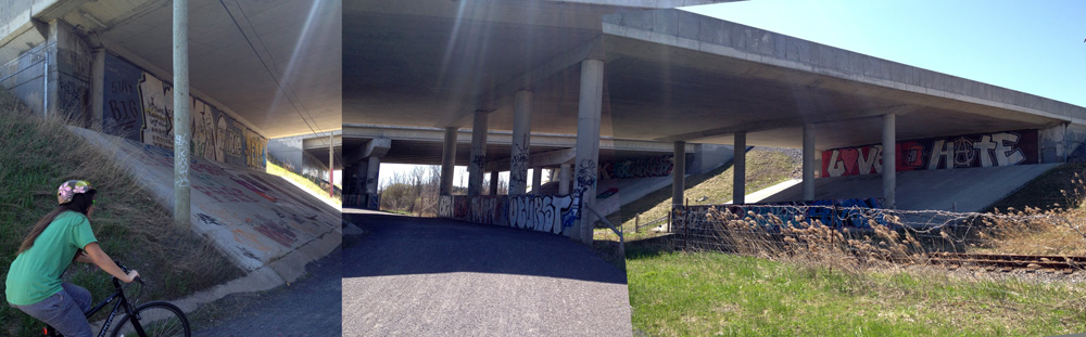
The path runs along the Nepean Equestrian Park just before reaching Corkstown Road and the Queensway underpass. It’s lying fallow right now, with crumbling horse jumps scattered about unkempt grass, but it’s purportedly to all be revitalized soon into an even better equestrian park. UPDATE – Summer 2017: It has been updated and is quite impressive, especially when a horse show is on!

Corkstown Road is a safe and easy road to cross. The Queensway underpass is a graffiti artist’s canvas.
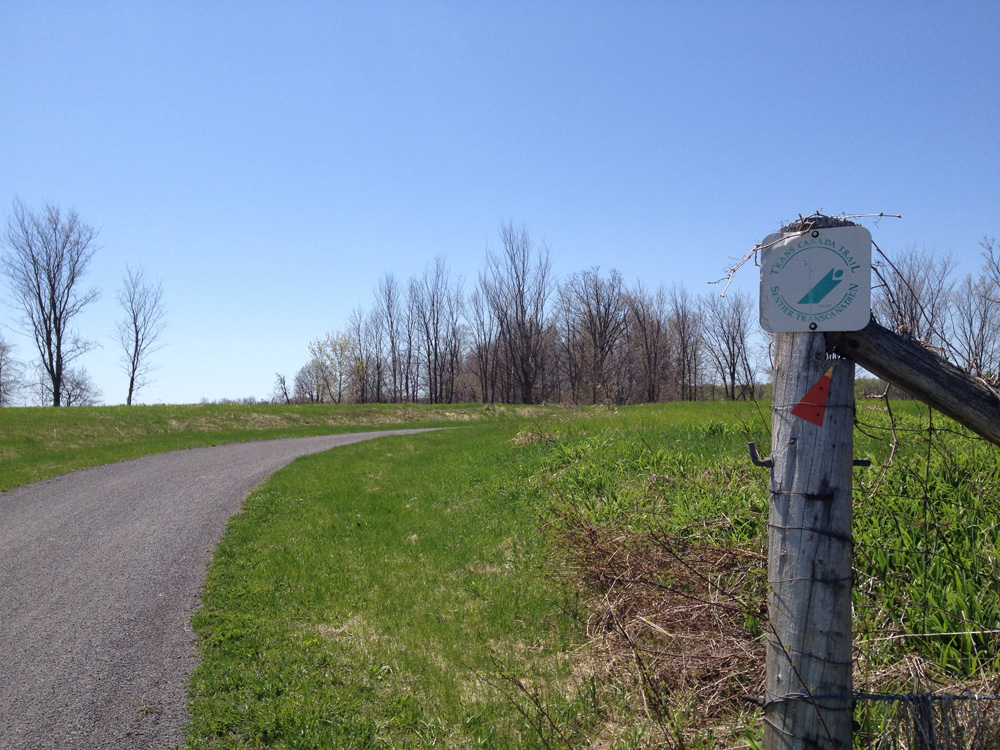
The path veers west, parallel to the Queensway for a short distance through farm land. I like this section of path for it’s diverse mix of natural habitats. It’s also part of a number of other trail networks, like the Trans Canada Trail and the Rideau Trail, identified by the fading sign and orange arrow respectively in the photo below.
A number of interpretive panels along the trail describe the surrounding diversity of the combined landscape and forest.

We got as far as Timm Drive and headed back. Didn’t want to over do it. We all had fun but most importantly, Mom had fun.