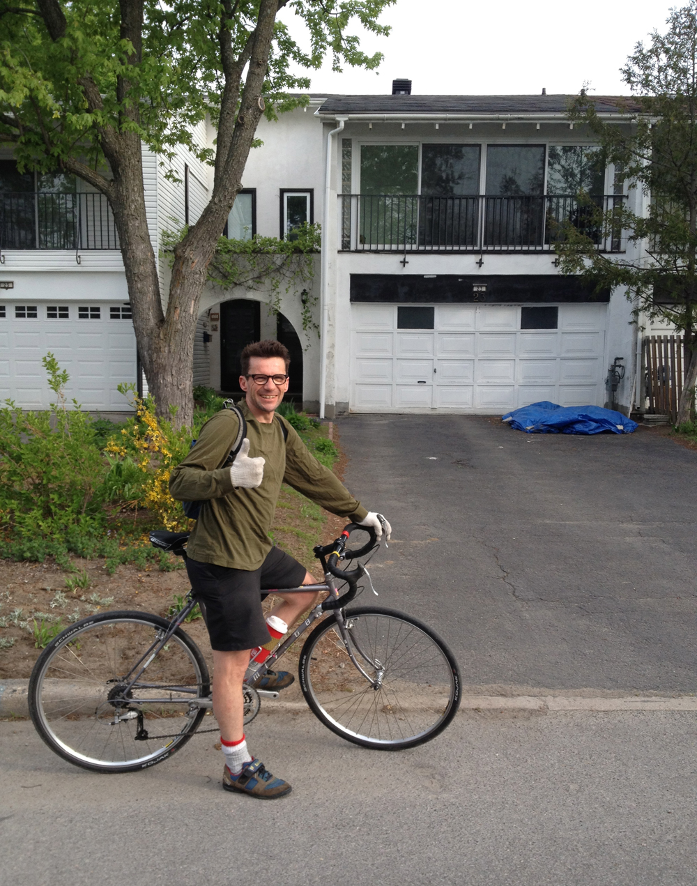
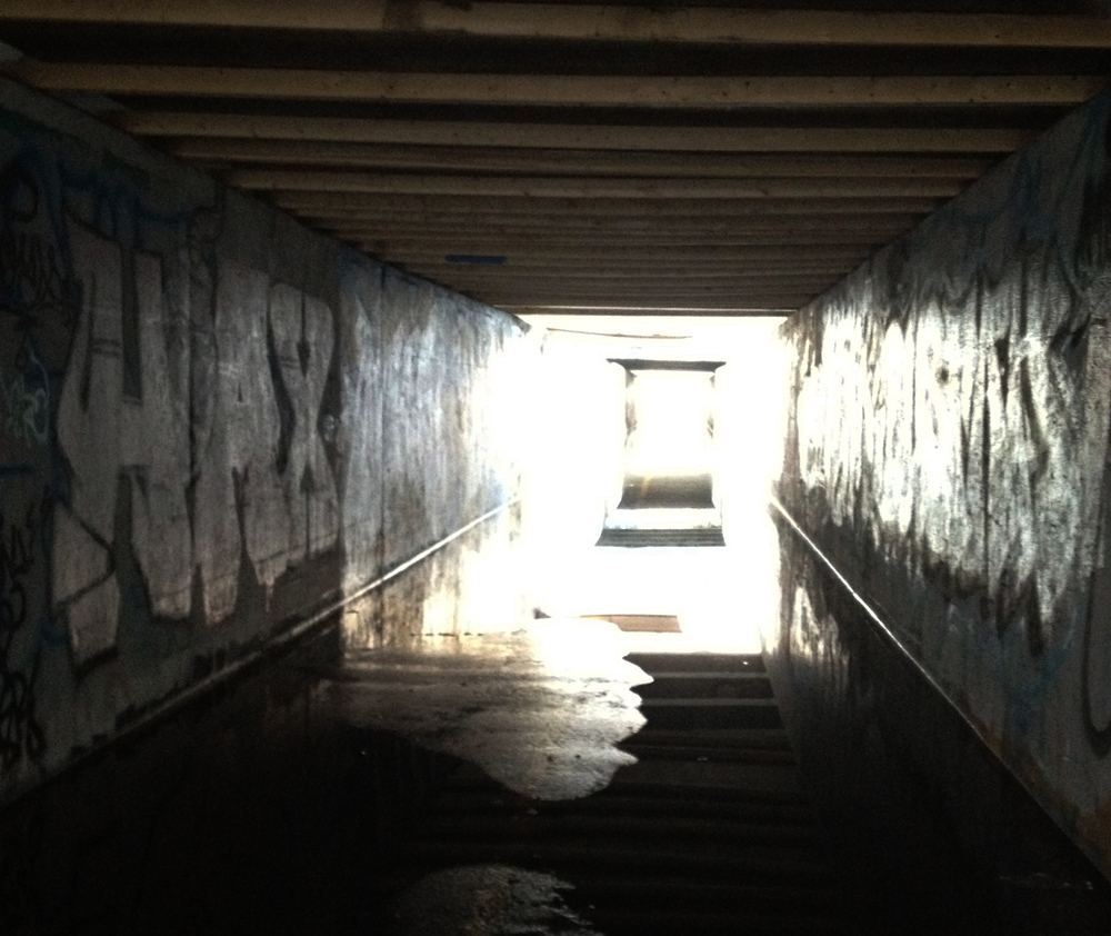
This blog recently turned one year old (note the date – 2013)! To celebrate I re-visited the site described in the very first post – the shipwreck near the confluence of the Lac Leamy outlet and the Ottawa River. Blue line is how I got there. Purple line is my return trip. UPDATES: 2018 – Red lines on the map are detours required for 2018, 1) behind the Museum of History because the NCC has yet to fix the section of path flooded out in the Spring of 2017, and 2) the section through Jacques Cartier Park because of the Mosaique flower display occupies the majority of the park, blocking off a section of the regular bike path.
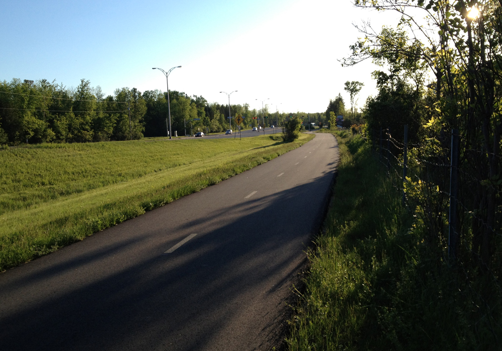
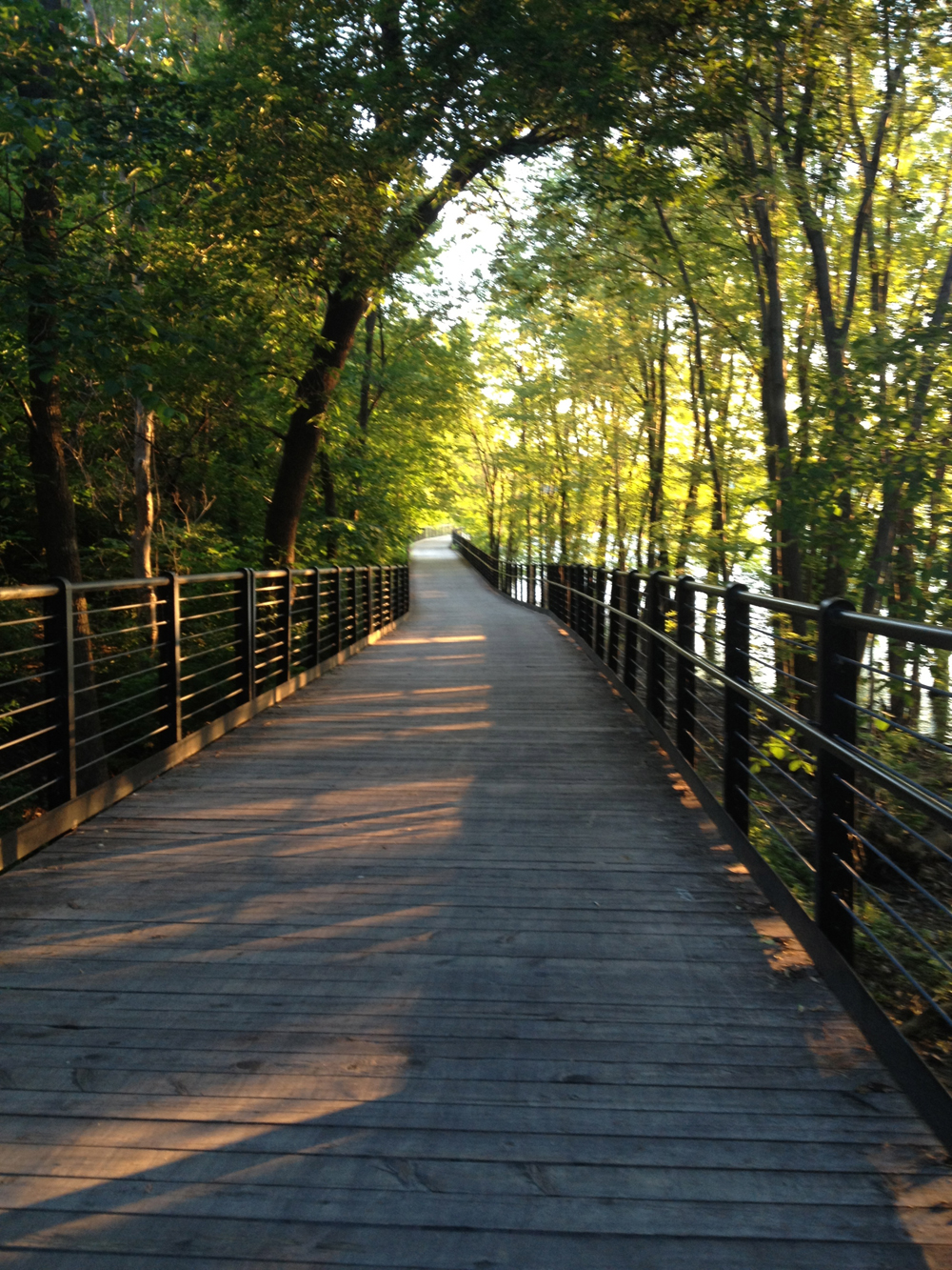
To get there I followed the Voyageurs Pathway along the Gatineau side of the Ottawa River, a section of which takes you along this wonderful raised boardwalk.
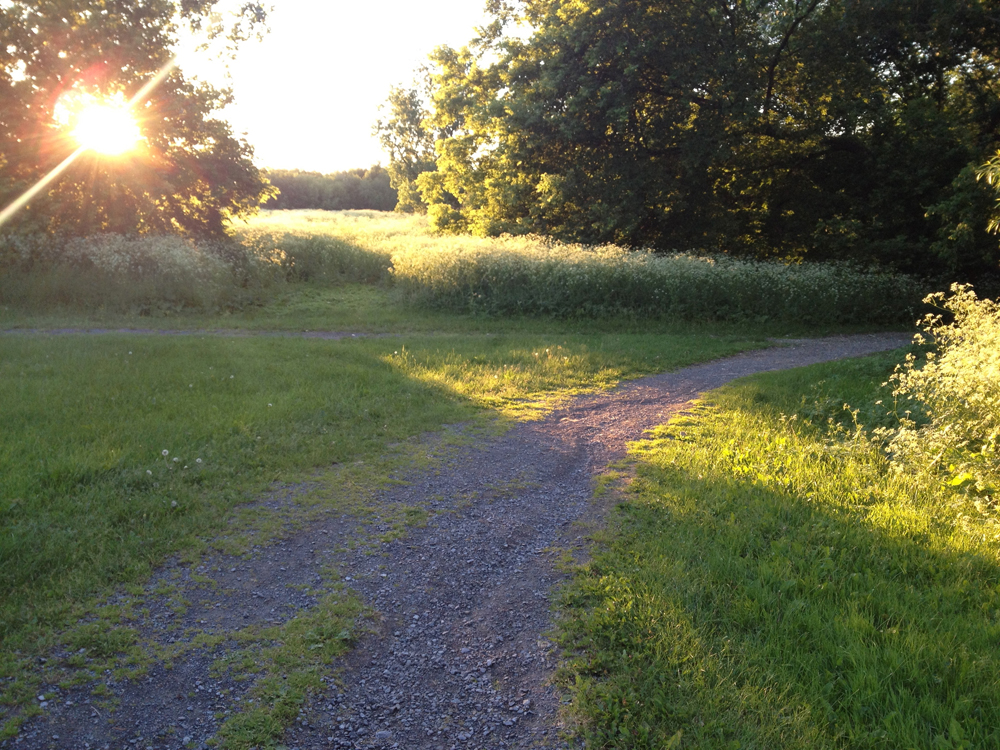
To get to the shipwreck, veer off the paved Voyageurs Pathway to the right onto this gravel path, as indicated by the light blue marker on the above map.
Now you may do as i did and accidentally turn off on a path a little before the one that takes you to the shipwreck, as indicated by the orange line on the map. No worries, it serendipitously takes you a short distance to a spot where you can look across the river towards Rideau Falls, like so.

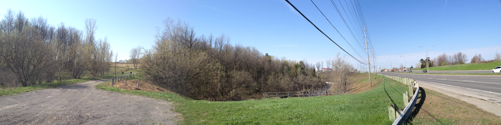
Retrace your treads and continue along the gravel path until you arrive at the turn off towards the shipwreck. I’ve indicated the ship’s location with the red marker on the above map. I haven’t found any historical documentation describing the wreck, however a well placed source suggested it had been illegally parked and the owner didn’t want to move it, so the powers-that-be, or the owner himself, scuttled the ship and left it there for curious onlookers to ponder on an annual basis.

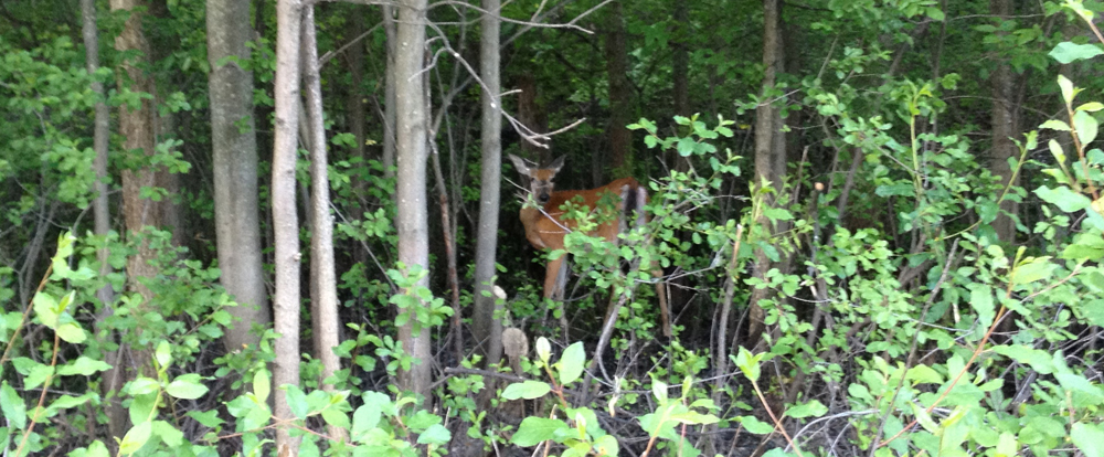
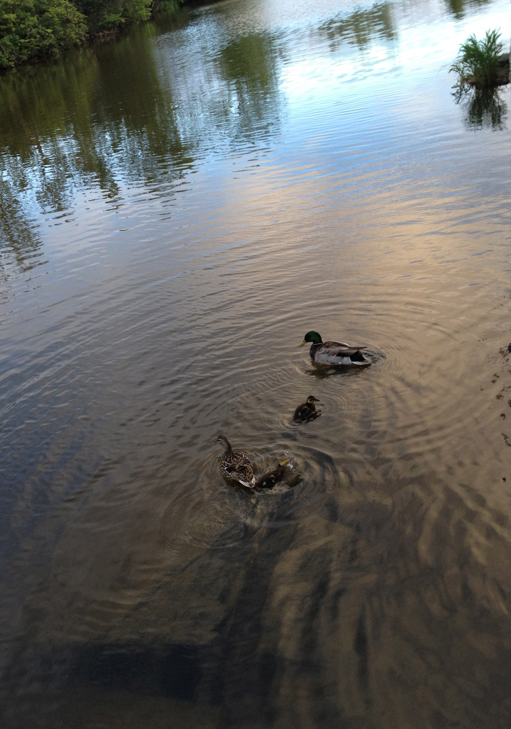
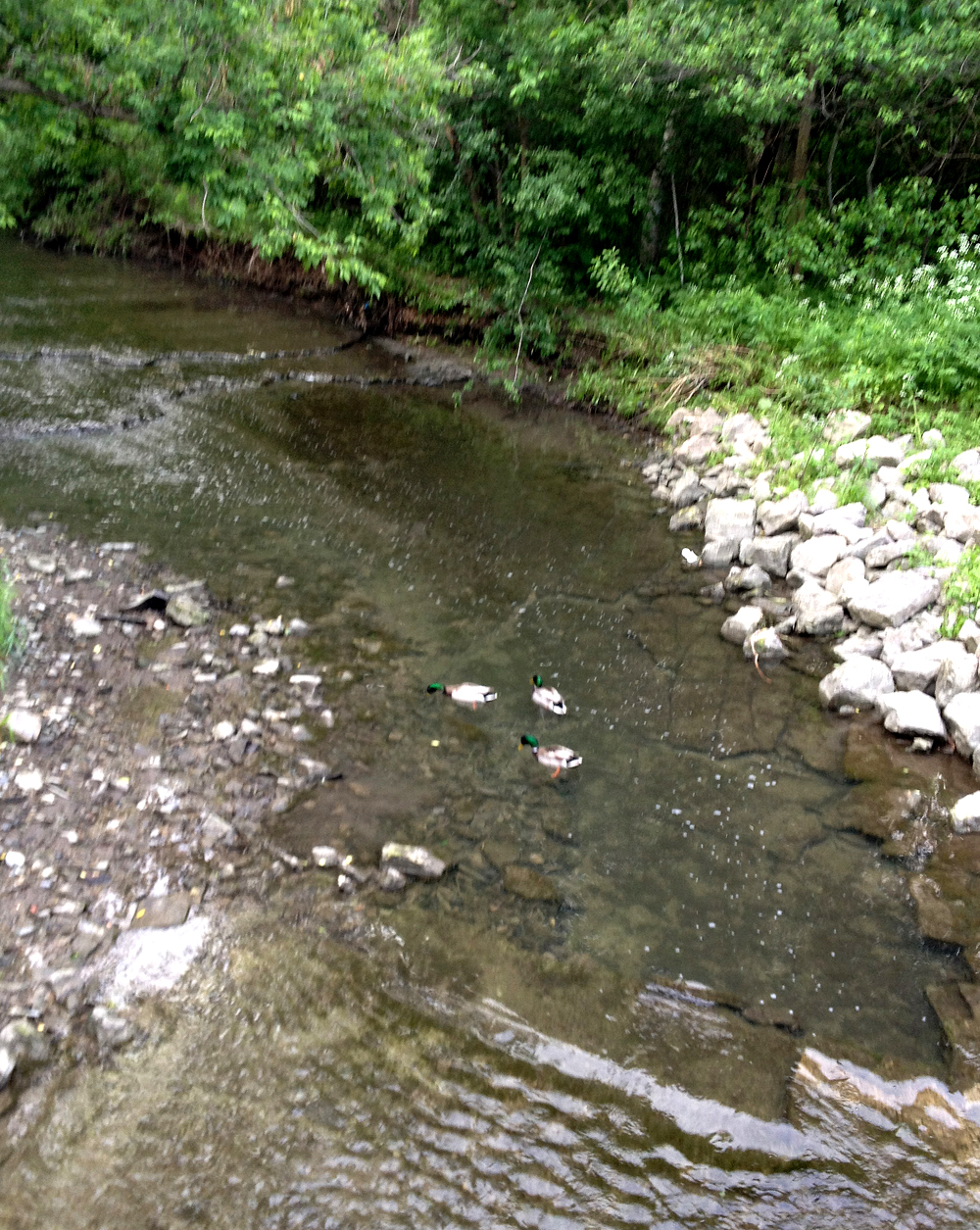
After contemplating the mysterious wreck you can rejoin the Voyageurs Pathway. I came across three deer munching grass between the pathway and Boulevard Fournier, including this fellow! The biker in the reflective vest calmly rode by saying, ‘C’est beau la nature, hein?’.

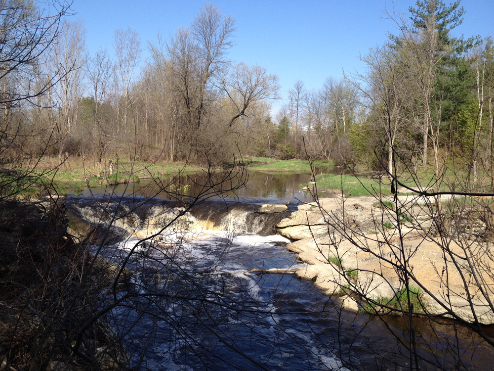
I also recommend another short path along the Gatineau River to where it joins the Ottawa River, as indicated by the purple line on the above map. More great views to be had, such as this one back up the Gatineau.

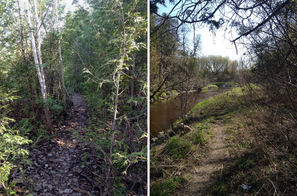
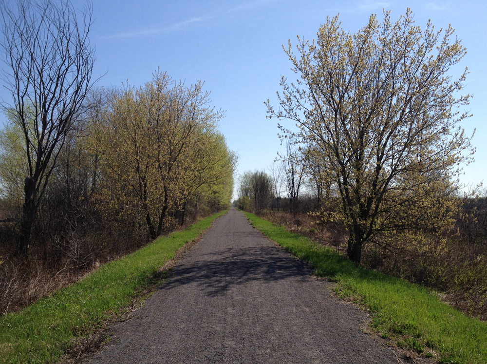
To get back I followed multi-use paths that go around Lac Leamy and along the Ruisseau De La Brasserie Pathway.
So Happy Birthday OttawaVeloOutaouais! Here’s looking forward to many more biking adventures.