I wanted to figure out a safe bike route to New Edinburgh, so yesterday I chose the old Fraser School House on John Street as my destination and set out. Along the way I happened upon a few other old teaching facilities. Here’s how.
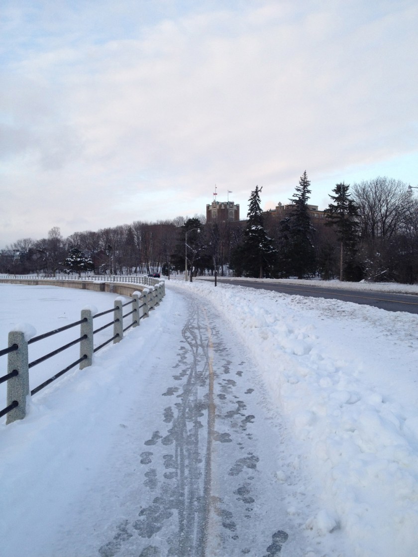
The Laurier Street bike lanes are indeed a fine way to travel east-west through downtown, but another less busy option heading east is along Nepean Street. Google Maps shows it cut in two by Centennial Public School between Percy and Bay, but you can bike through the school parking lot and a paved lane on the south side of the school. Here’s the view down Nepean Street.
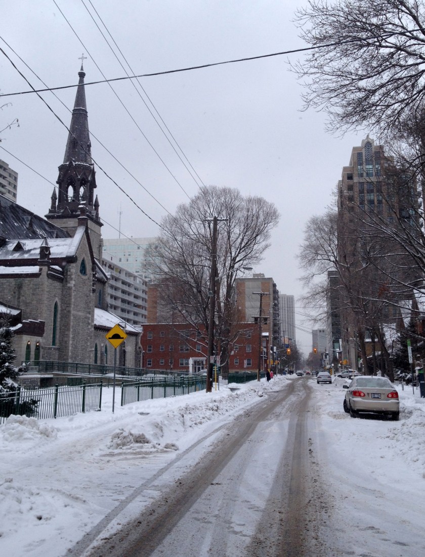
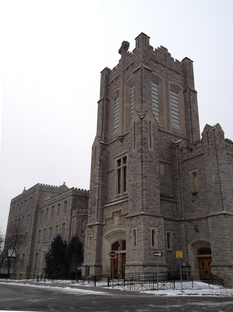
At the eastern end of Nepean Street where it intersects Elgin Street, sits the old Teachers College. Built in 1875, it was originally called the Normal School. Now it’s owned by the city and has been renamed The Heritage Building. Although it is connected to City Hall at the back, it remains true to it’s original character and detailing.

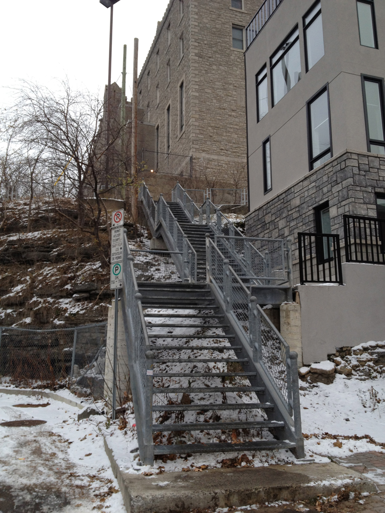
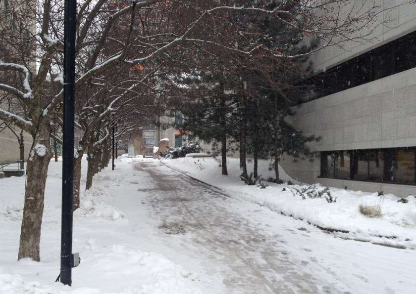
You can avoid riding along Elgin by continuing down the lane to the north of the Heritage Building, and then along this plowed and salted path between the court house and City Hall.
The only nasty part of this ride is along Laurier over the bridge. The bike lane was mostly snowed in, and cars always love to fly crazy like along this section of Laurier. But once off Laurier at Ottawa U, all is calm.
New Edinburgh is north, so I turned and headed that direction along Friel Street, which ends just north of Rideau, then continues as Beausoleil Drive. At the corner of York Street and Beausoliel Drive sits York Street Public School with wonderful ornately carved front and side entrances.Built in 1922, this school figures prominently in Brian Doyle’s popular book Angel Square.


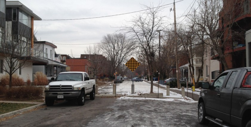
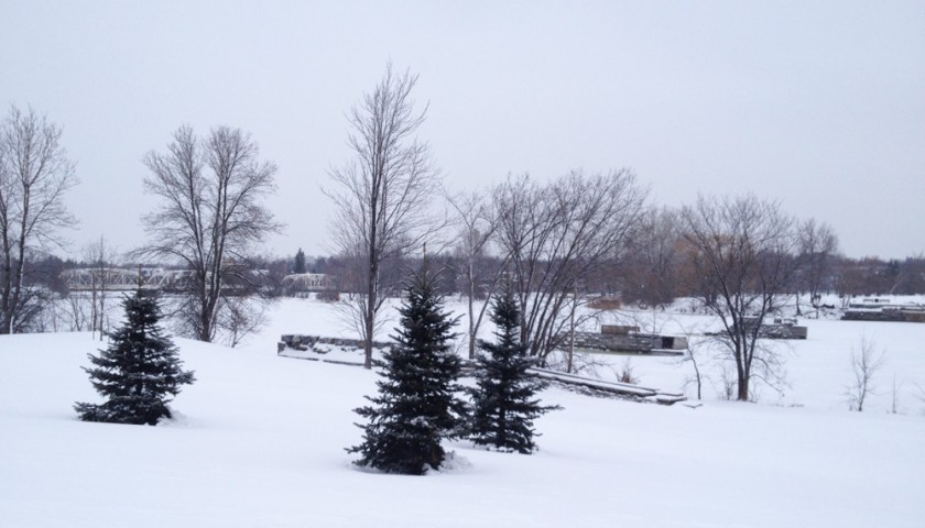
There is a crosswalk where Beausoleil reaches busy St Patrick Street. Biking further north through residential streets, one arrives at Bordeleau Park on the edge of the Rideau River. There’s a path through the park, but it needs a few more days of trampling before it is firm enough to bike along.

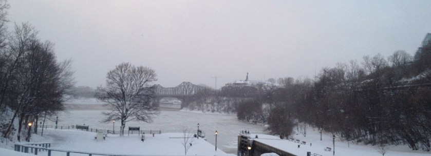
Worth the short hike though, as there are great views to be had along this park such as this one looking out towards the old footings of the B&P Rideau River Bridge.
Opened in 1855, here’s a photo showing what the bridge looked like right around when it was removed in the mid 60’s.

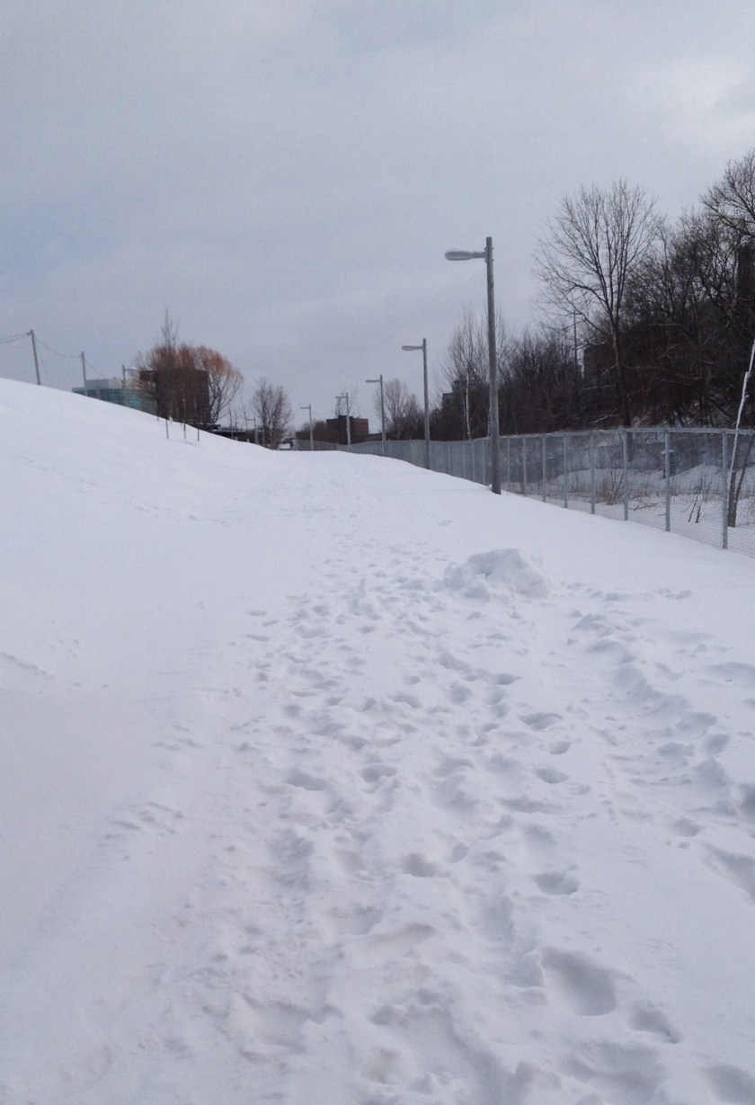
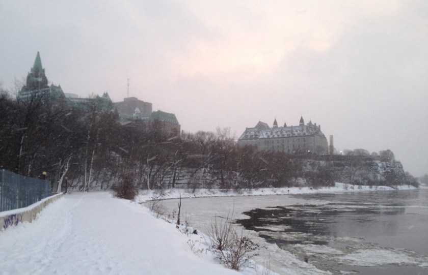
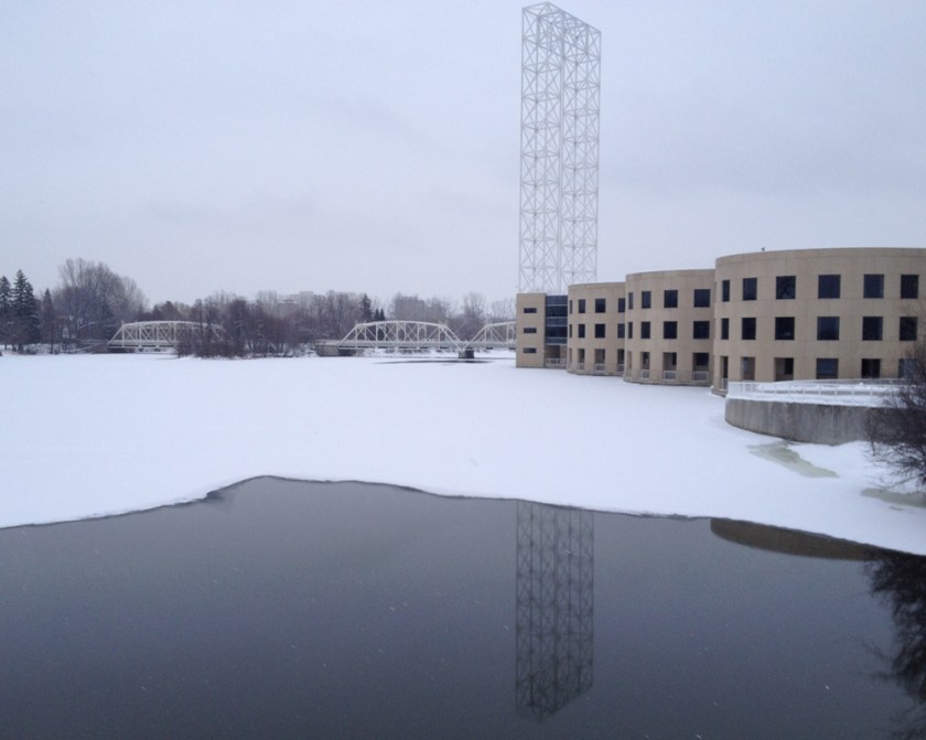
The path between the park and Sussex Drive, on the other hand is plowed AND salted. I had hoped to cross the little white steel bridges along Union Street to avoid Sussex but the first bridge to Green Island is completely engulfed in plastic tarp and blocked off. Renovations I’m guessing.
Here are the pretty white bridges as seen from Sussex Drive. I also love the details on the building on the right and how close the windows come to the waters surface.
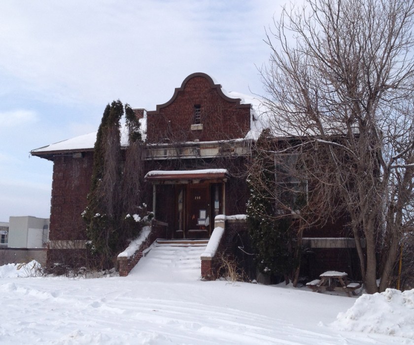
And this is where John Fraser taught children of workers from the New Edinburgh community shortly after it was built in 1837 by Thomas MacKay.

A great way to get across New Edinburgh heading west is along River Lane.

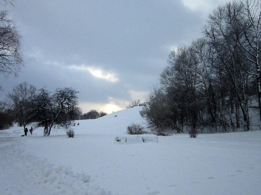
I walked my bike along the sidewalk over the St Patrick Street bridge so as to be able to access Charlotte Street on the other side. At the opposite end of Charlotte Street there is a path that winds through Macdonald Gardens Park. A gazebo sits atop the hill in the park which seems very popular with tobogganers.

A fine winters ride. Oh, I hear Santa! Better get to bed and pretend I’m asleep.