Winter bike route from The Glebe to the RA Centre

A friend was wondering whether there was a safe winter bike route from The Glebe to the RA Centre. There is, as per the map below, but it’s quite circuitous – sadly so, when you consider how physically close the two destinations are from each other. At the time of the RA’s conception, driving was the de facto mode of transpo and, by default, still is. As we wait for the powers-that-be to bring our city’s cycling infrastructure up to par, I suggest the following as the safest winter bike route to get there. I also recommend a studded front tire for winter riding.

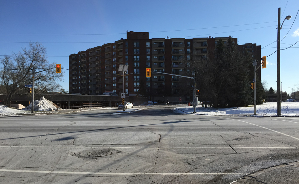
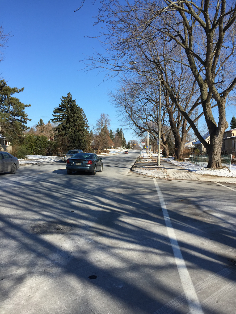
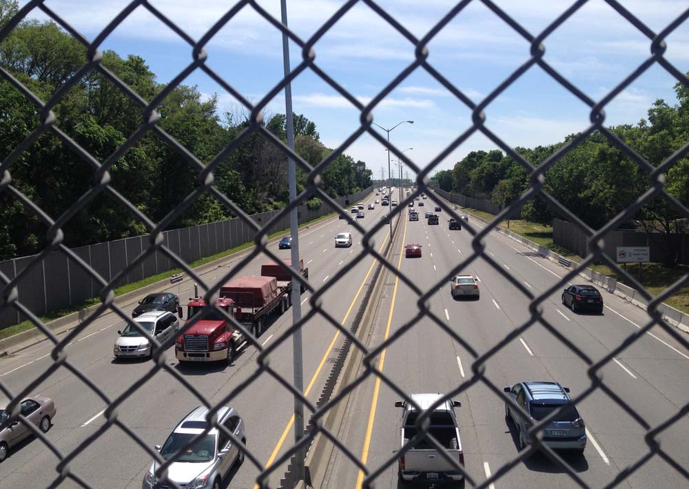
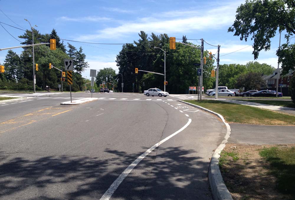
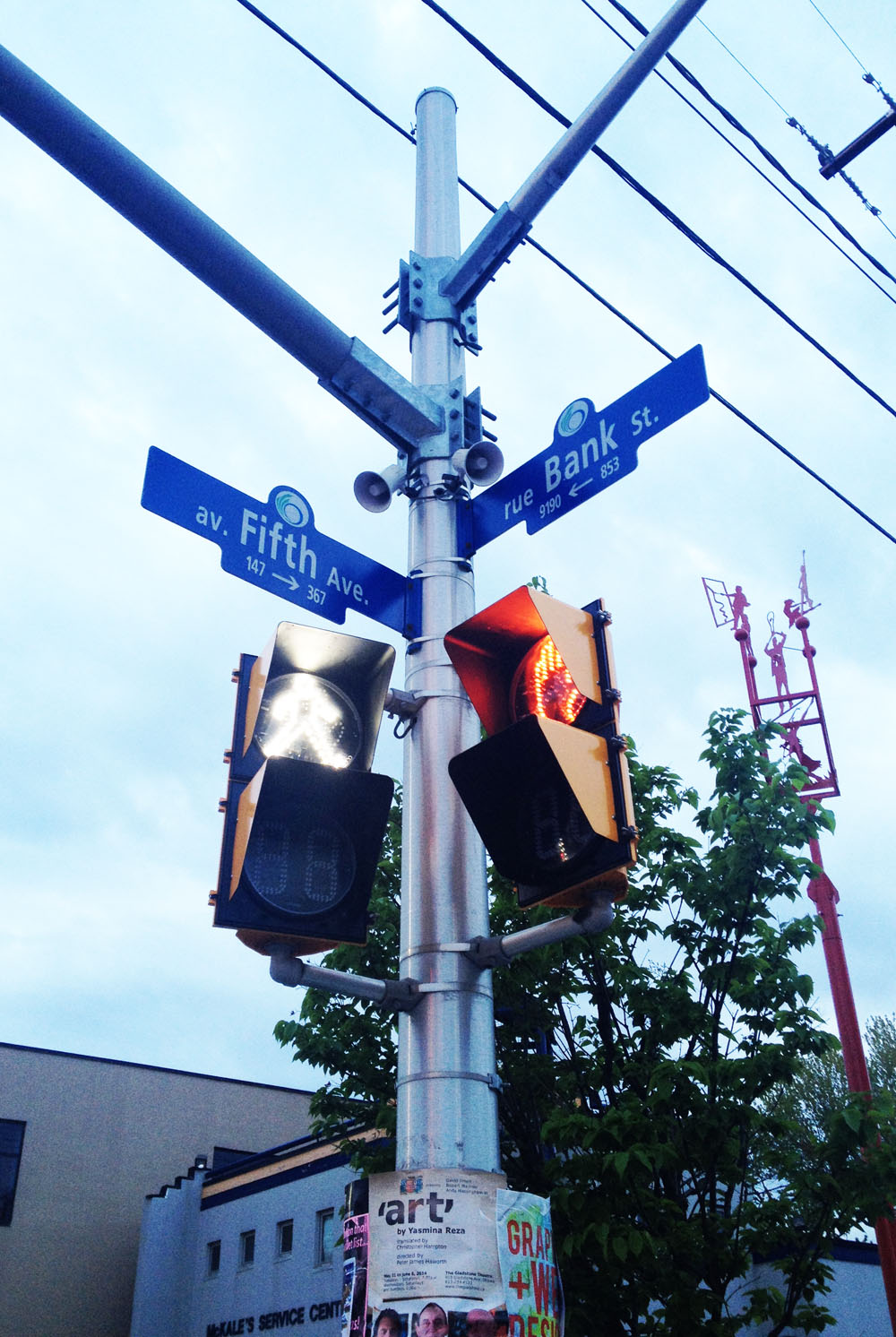
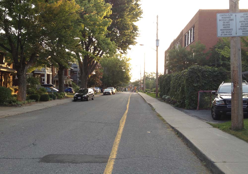
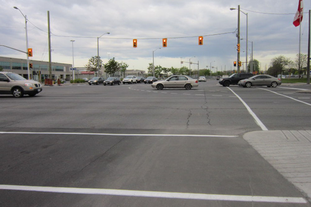
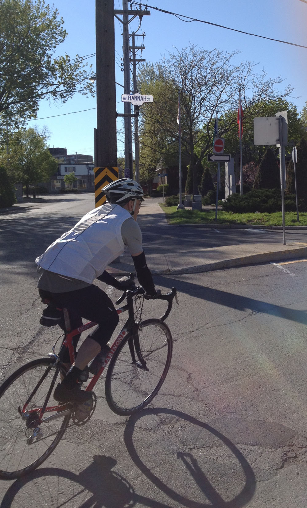
Winter cycling along Bronson is to be avoided. I crossed Bronson at Fifth Ave where there are traffic lights.

Crossing Bronson at Fifth Ave

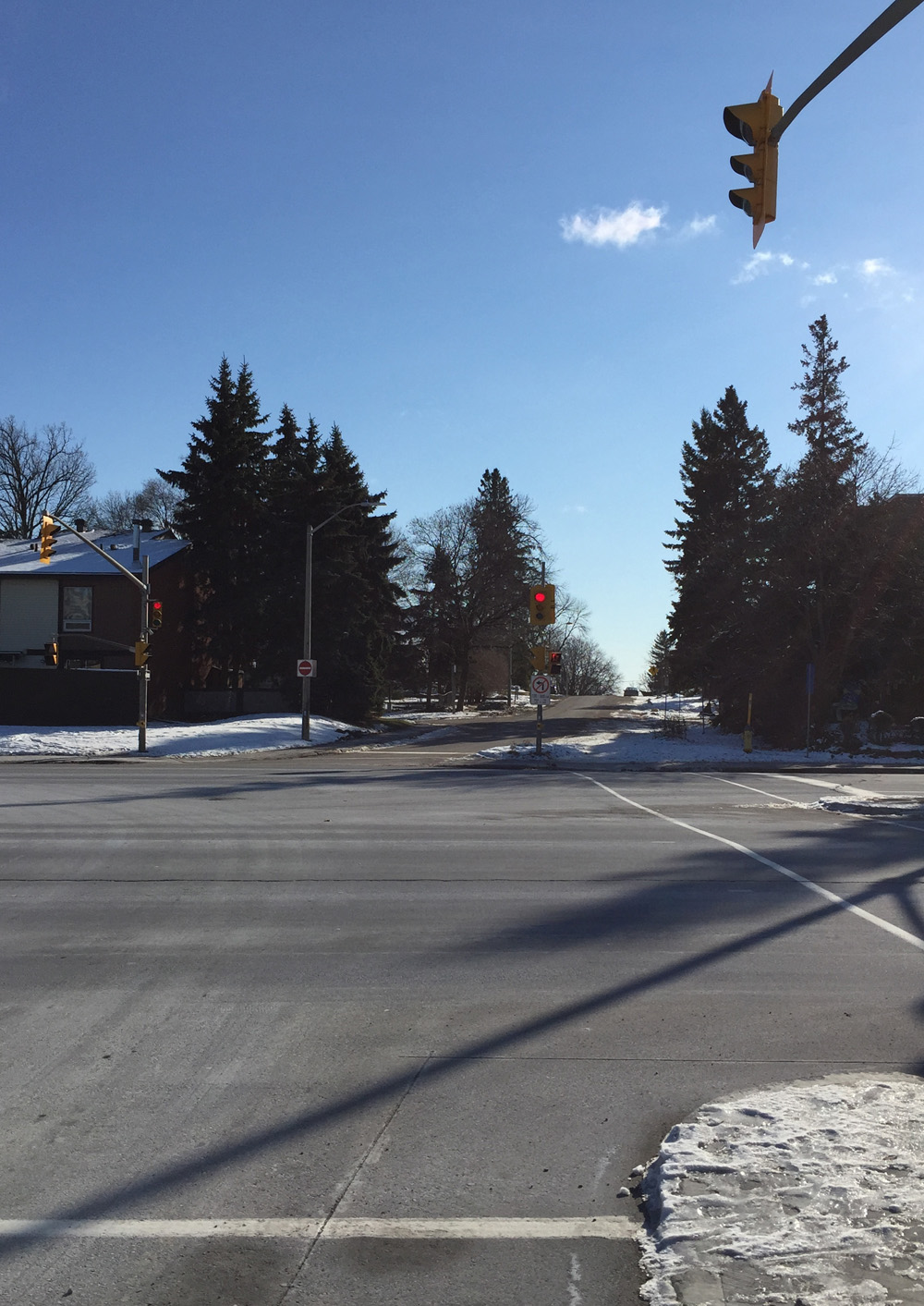
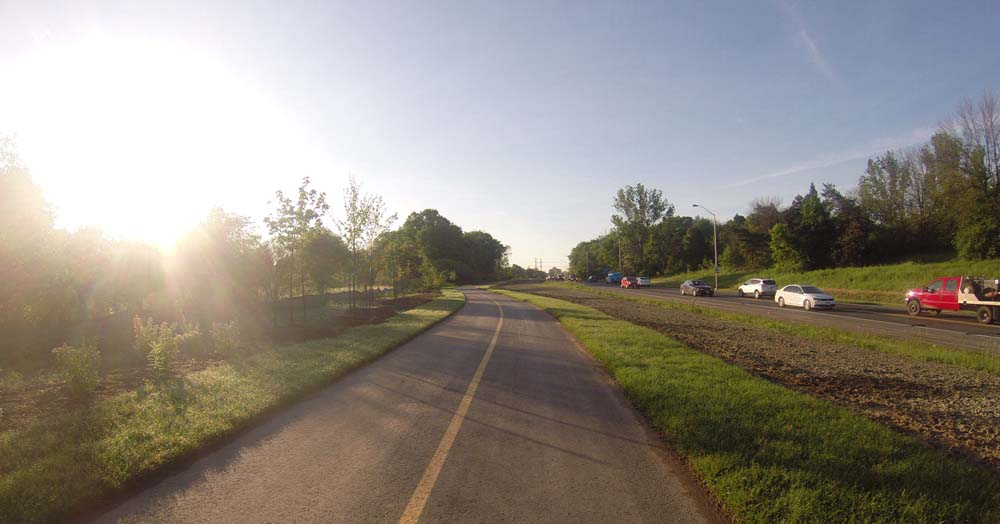
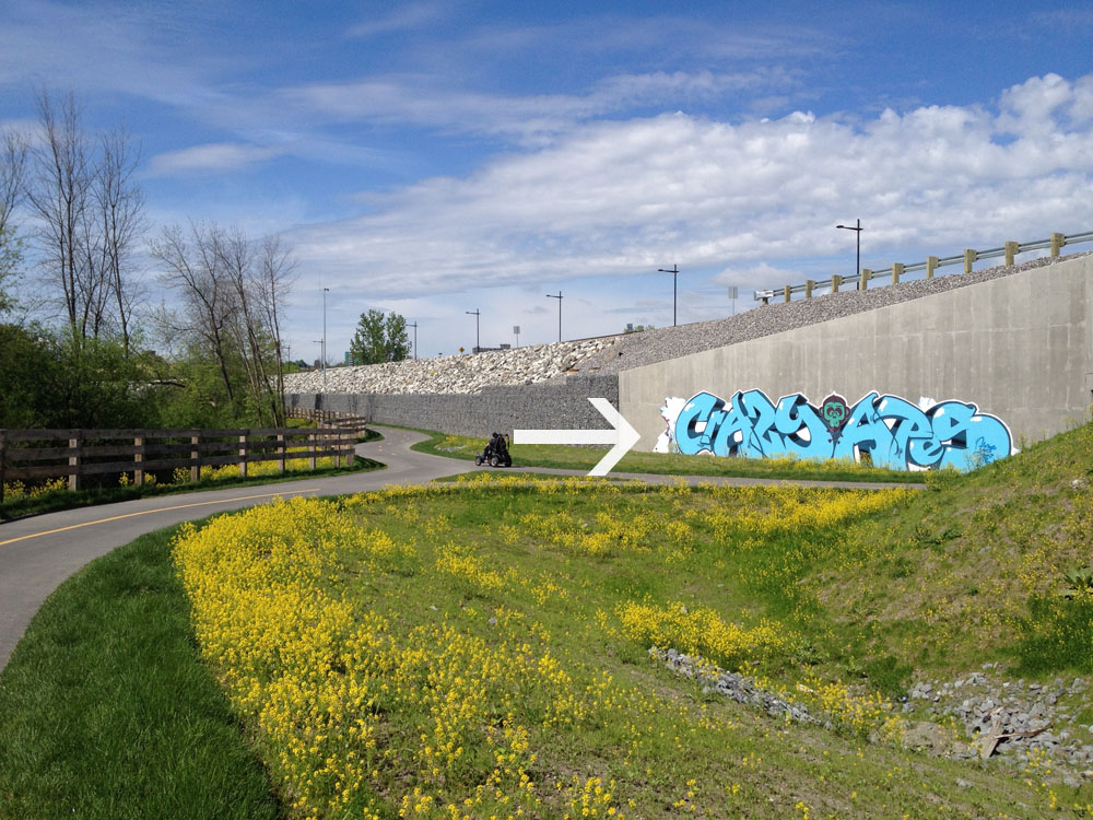
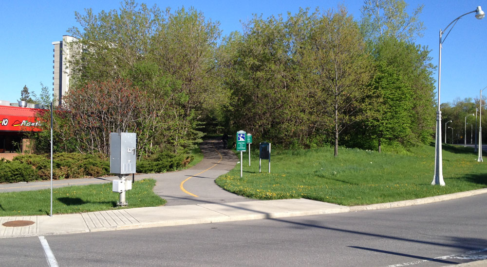
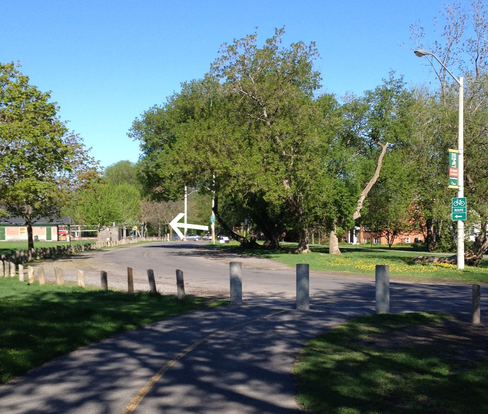
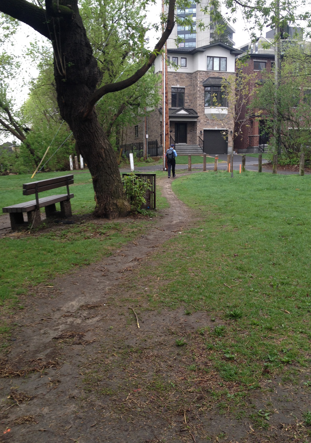
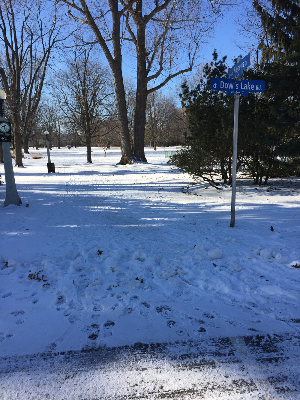
The other side of Bronson becomes a pleasant meander along Madawaska Drive to Commissioner’s Park which explodes with tulips come springtime. A minimal number of city paths are cleared throughout the winter which often forces one to rely on shared Desire Lines, i.e. trampled down paths popular with pedestrians regardless of whether plowers were instructed to clear them or not. I followed this one that cuts across the park to the edge of the Queen Elizabeth Driveway. This path is proportionally more trampled relative to the skate-ability of the canal.

Path through Commissioner's Park at the end of Madawaska to Queen Elizabeth Drive
Path through Commissioner’s Park at the end of Madawaska to Queen Elizabeth Drive

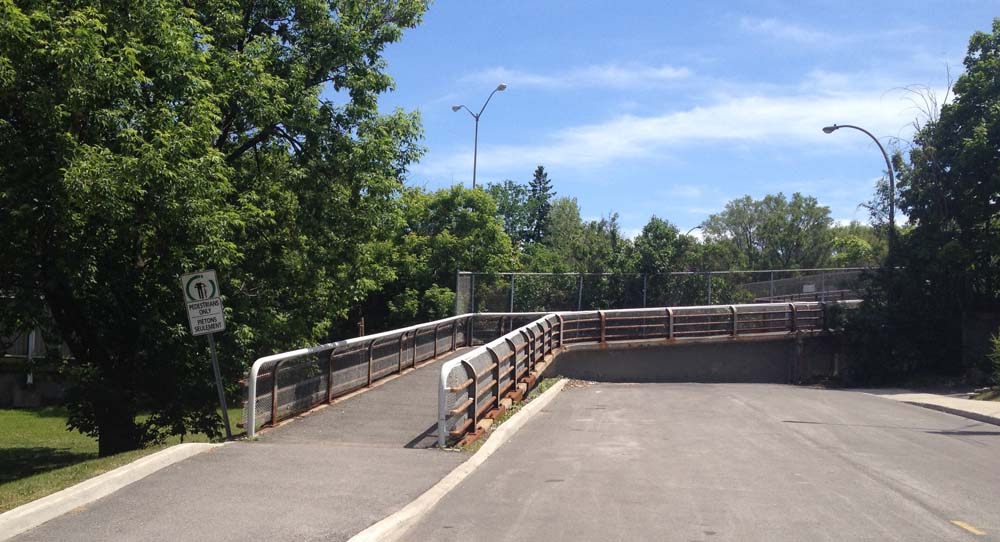
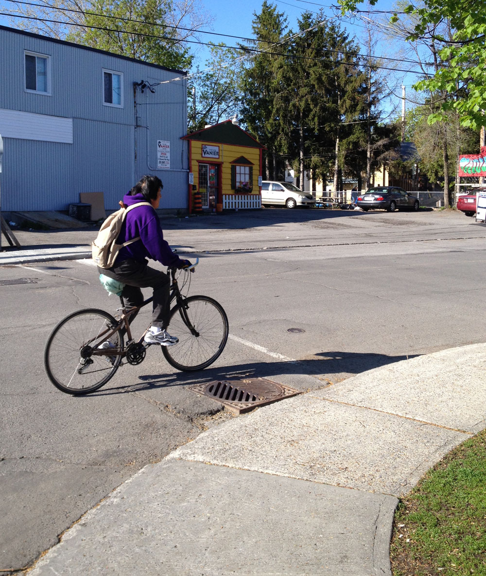
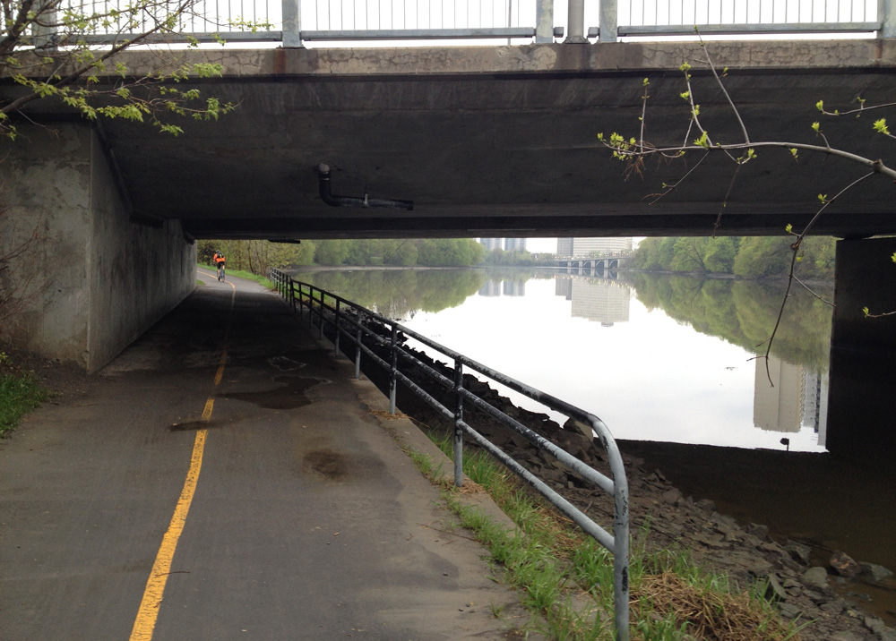
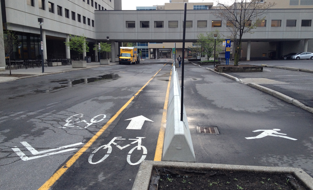
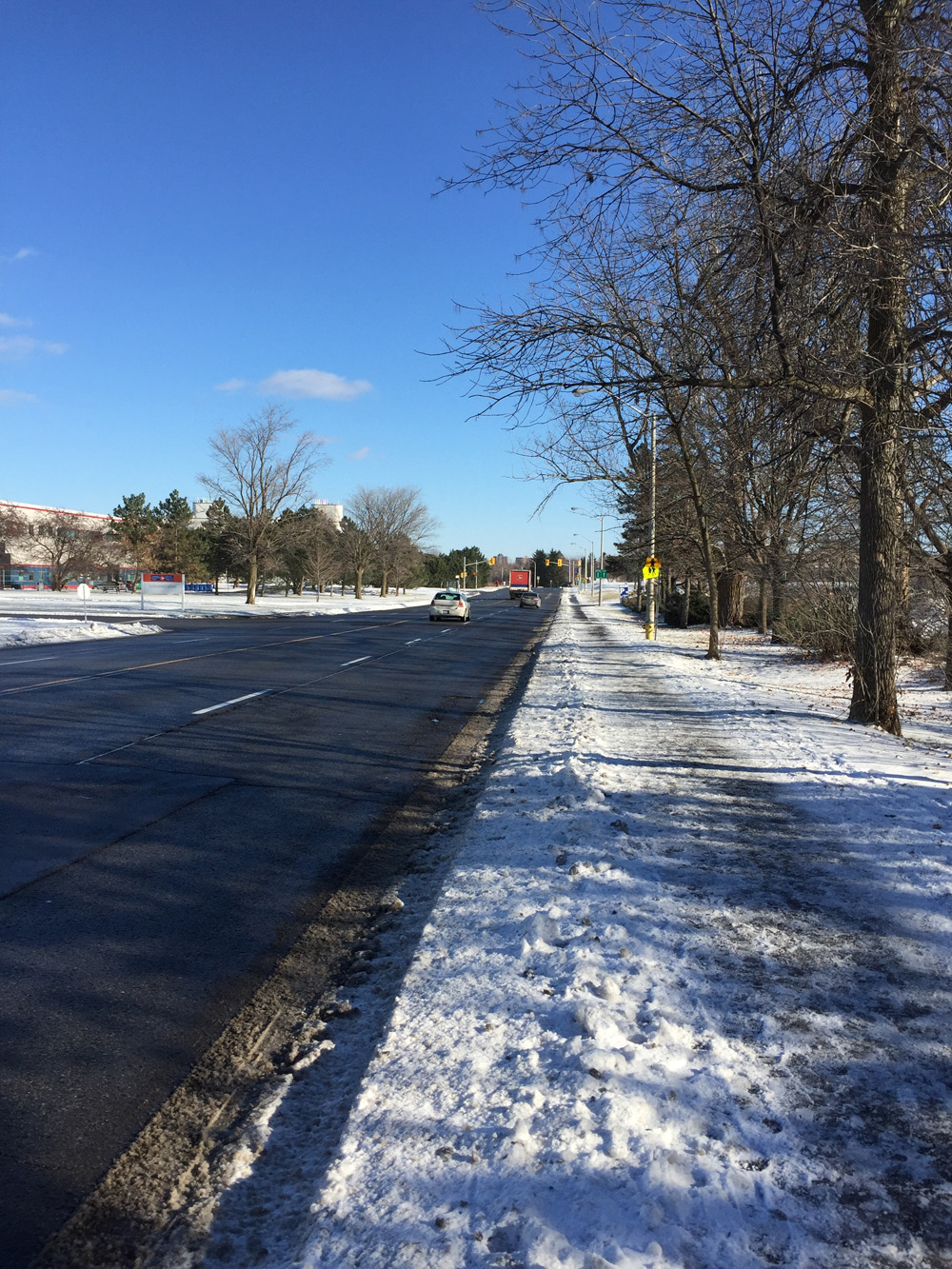
On the other side of the driveway I rode a short distance along the plowed-and-salted Rideau Canal Western Pathway to Preston Street. I crossed at the lights to the usually cleared bike lane along Prince of Wales and followed it for a short distance to the lights at the entrance to the Arboretum, just over the O-Train tracks.. If biking along Prince of Wales seems (understandably) spooky, the sidewalk between Preston and the entrance to the Arboretum is clear, and usually empty. UPDATE – 2019: There is now a bi-directional bike lane from Preston Street almost all the way to the Arboretum. It ends just before going over the O-Train tracks.

Biking along Prince of Wales Drive between Preston St and the entrance to the Arboretum just over the train tracks

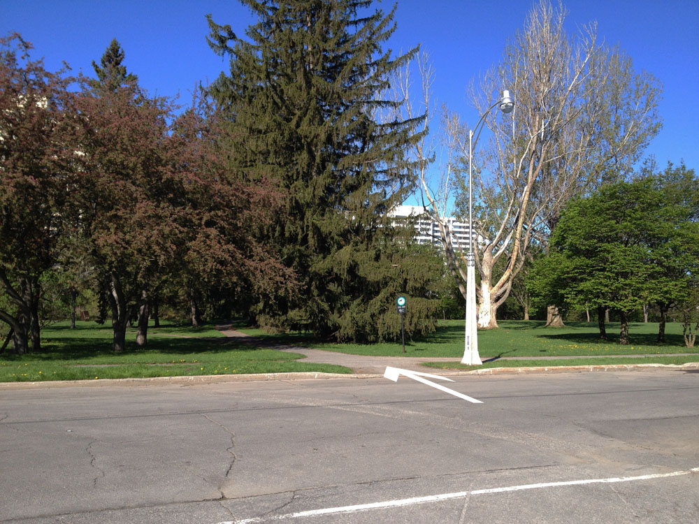
Once safely in the Arboretum I rode along the cleared/not salted path that ends at the bottom of the hill that officially isn’t to be used for toboganning.

Path from the north edge of the Arboretum

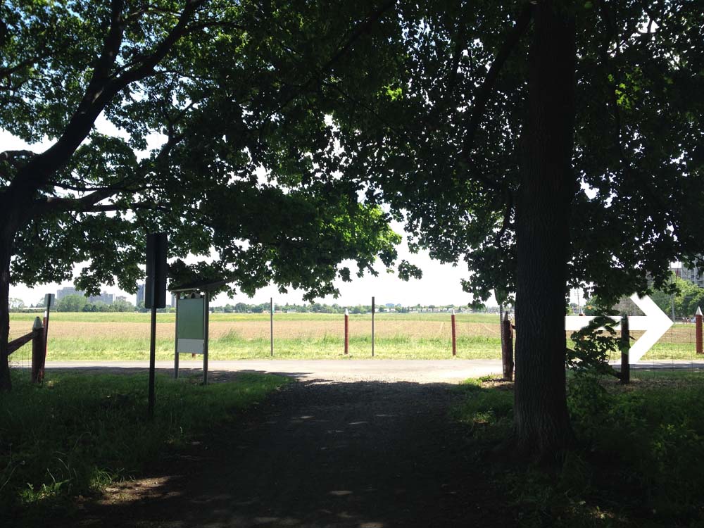
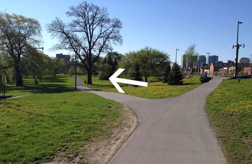
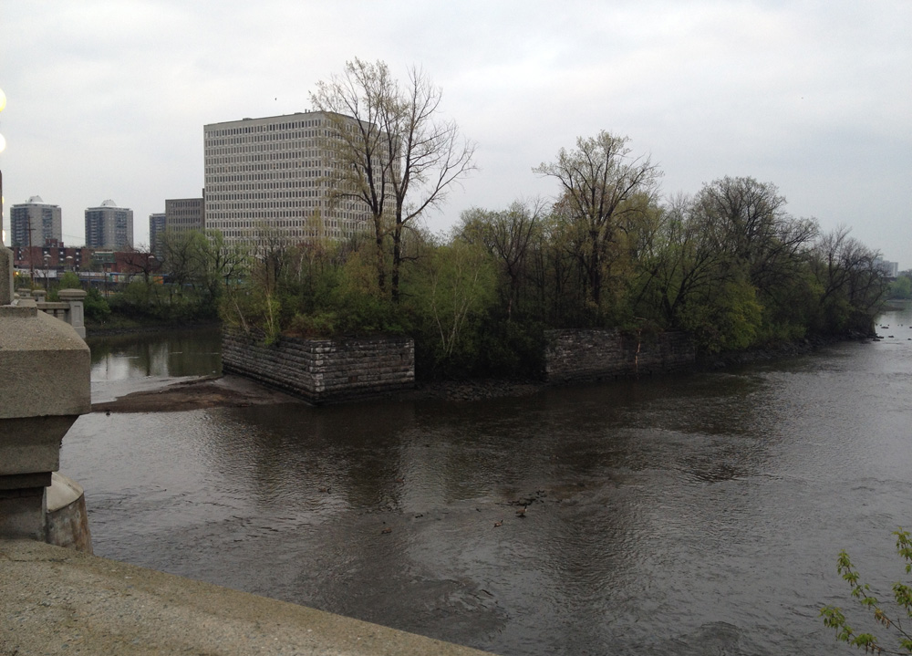
I then relied on some of winter cyclists best friends – dog walkers! The Arboretum is extremely popular with dog walkers who, within hours of a snow fall, recreate a network of well trampled paths. My destination was the canal locks across from Carleton University which can be traversed 12 months of the year. The paved path along the canal proper isn’t always trampled flat, however there is one that goes up through the Fletcher Wildlife Garden which hi-lites the beauty of Desire Lines. They exist where people want to go. In the winter, dog walkers park in the Fletcher Wildlife Garden parking lot. From there they work their way down through the arboretum, not along the official paved path that hugs the canal, but along the old service road that leads down from the parking lot.

Another reason I like to follow this route is the passion the Fletcher Wildlife Garden maintenance crew has for this microcosm of varied natural environments. Around every corner along the myriad of intimate paths they have created initiatives that engage visitors to the subtleties of the surrounding natural environment, like this insect hotel.

Insect Hotel
Insect Hotel

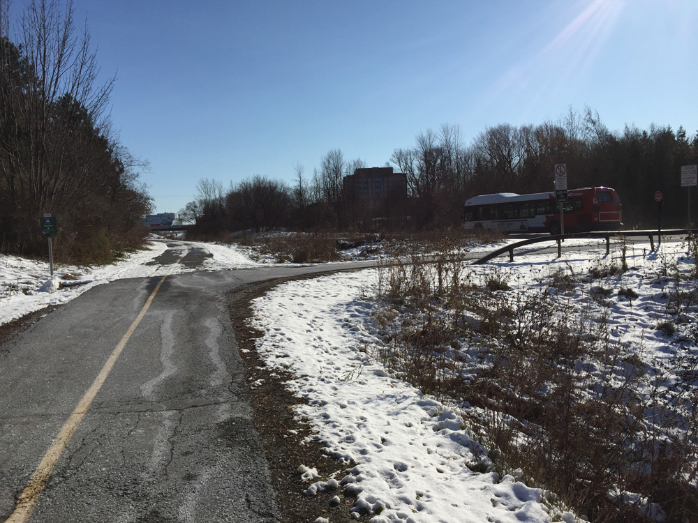
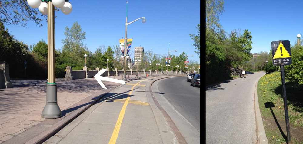
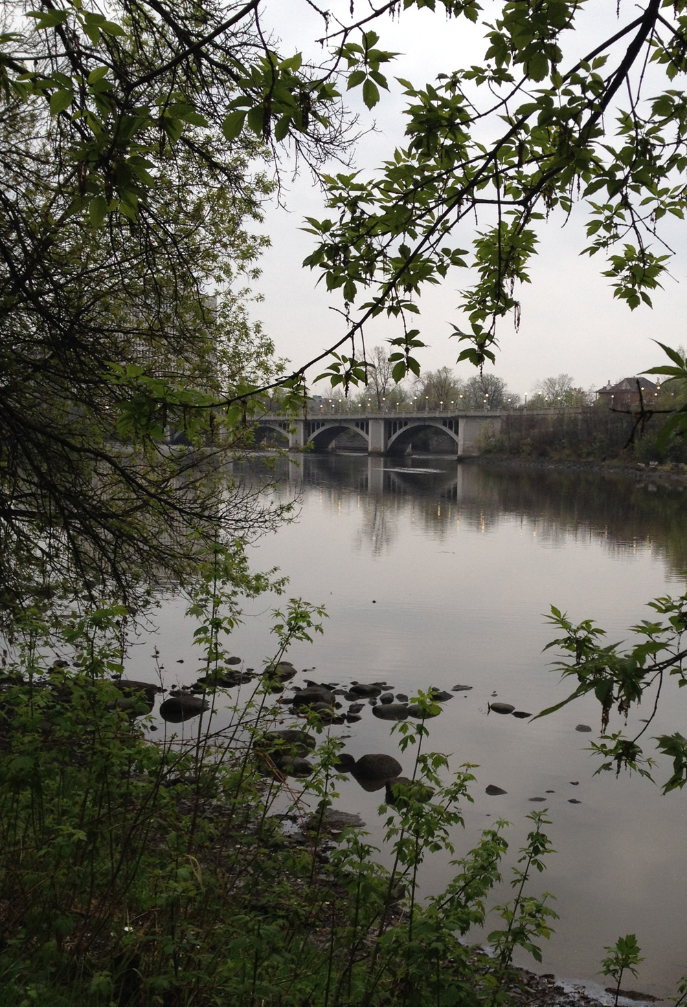
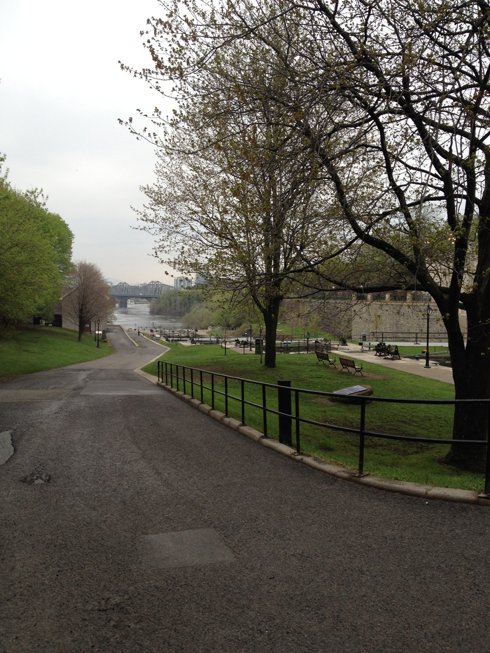
I crossed at the locks and followed the Rideau Canal Eastern Pathway, which is cleared-&-sanded, all the way to Hogs Back.

Path to Hogs Back
Path to Hogs Back

The path up and over the falls is salted as well, as is the path along Hog’s Back Road to Riverside Drive.
UPDATE – 2019: A new bi-directional bike lane has been added to the south side of Brookfield Road from Riverside Drive to the round-about making it much safer.

Brook filed Road looking east with the new bi-directional bike path introduced in 2019

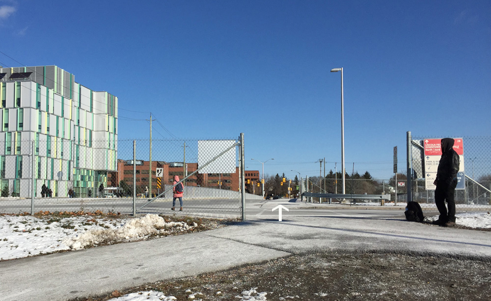
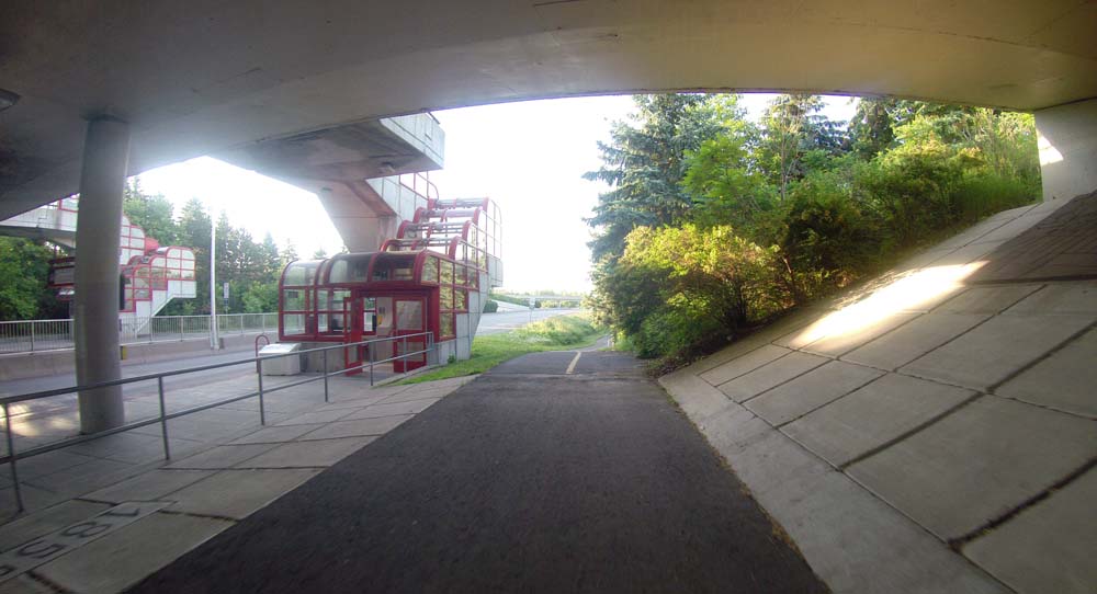
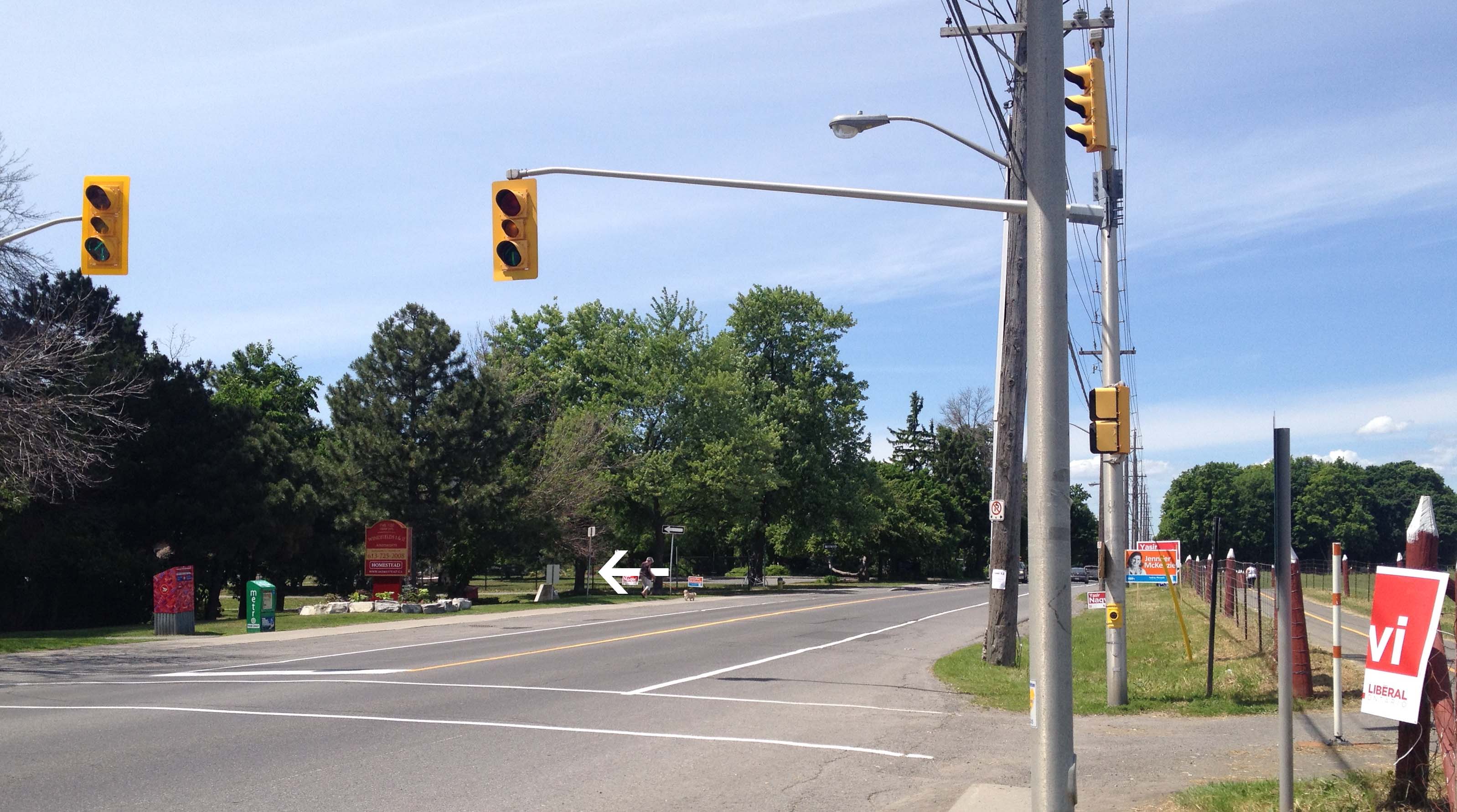
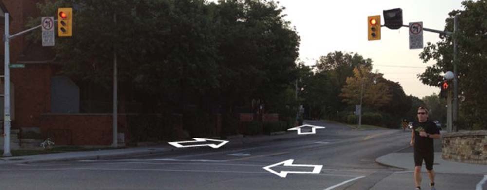
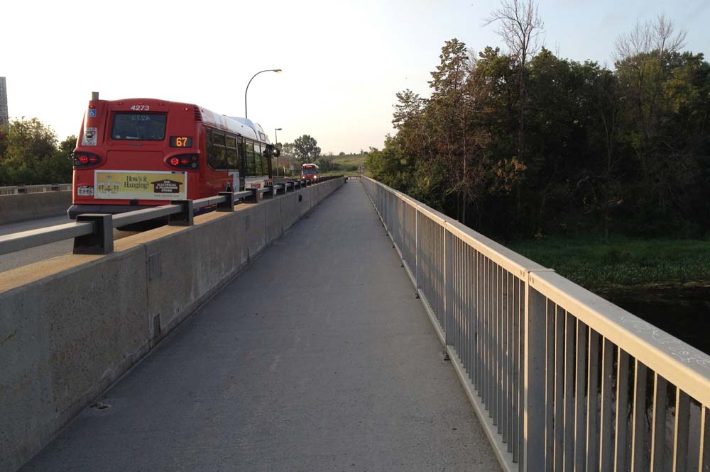
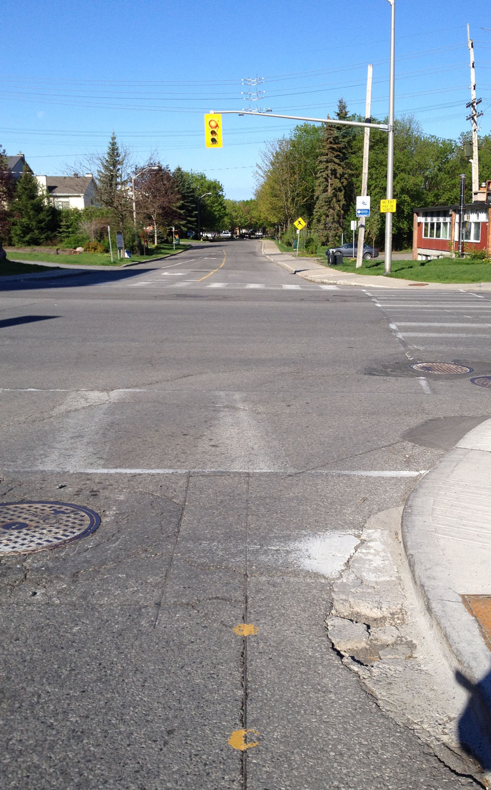
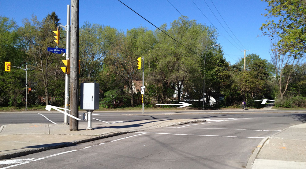
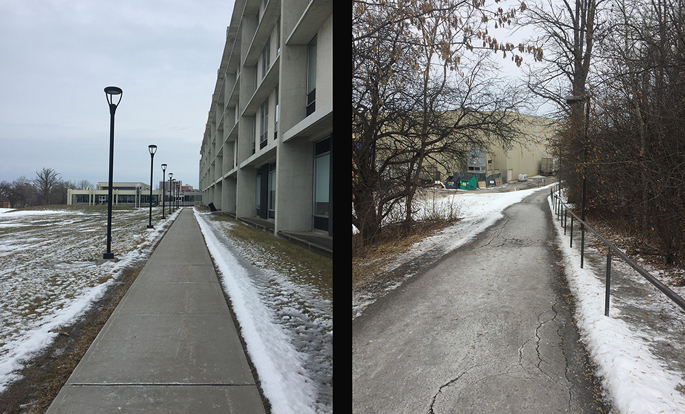
I then crossed at the roundabout over to the cleared & salted path that winds down beside the transit station and up to Heron Road. I then crossed at the lights at Heron, and continued along the equally cleared and salted path behind the Sir Leanord Tilley building.

Path beside the Tilley building

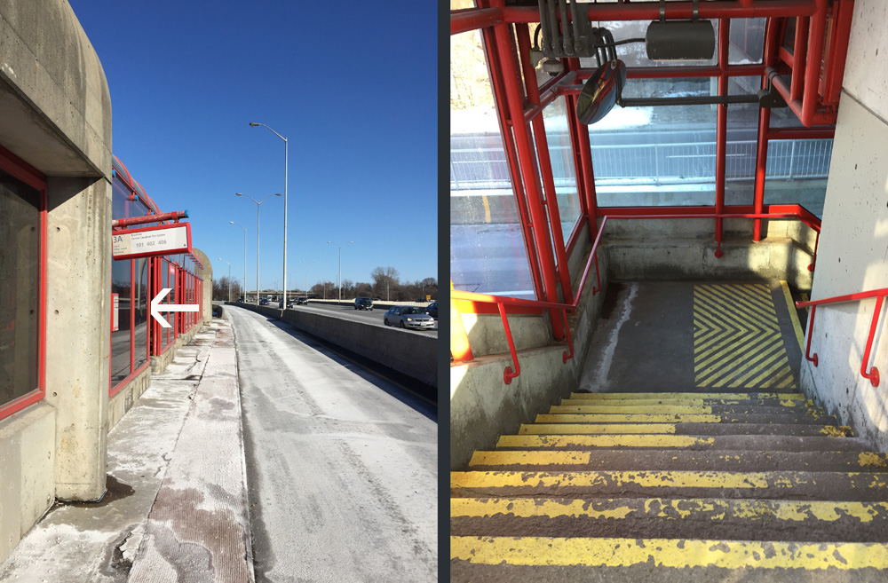
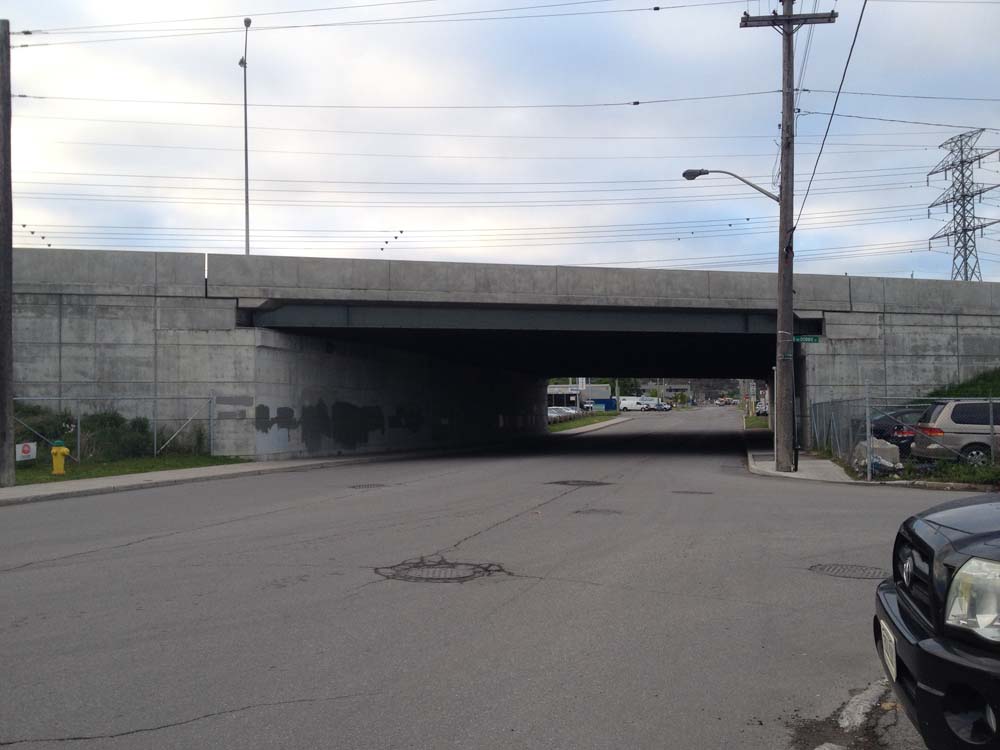
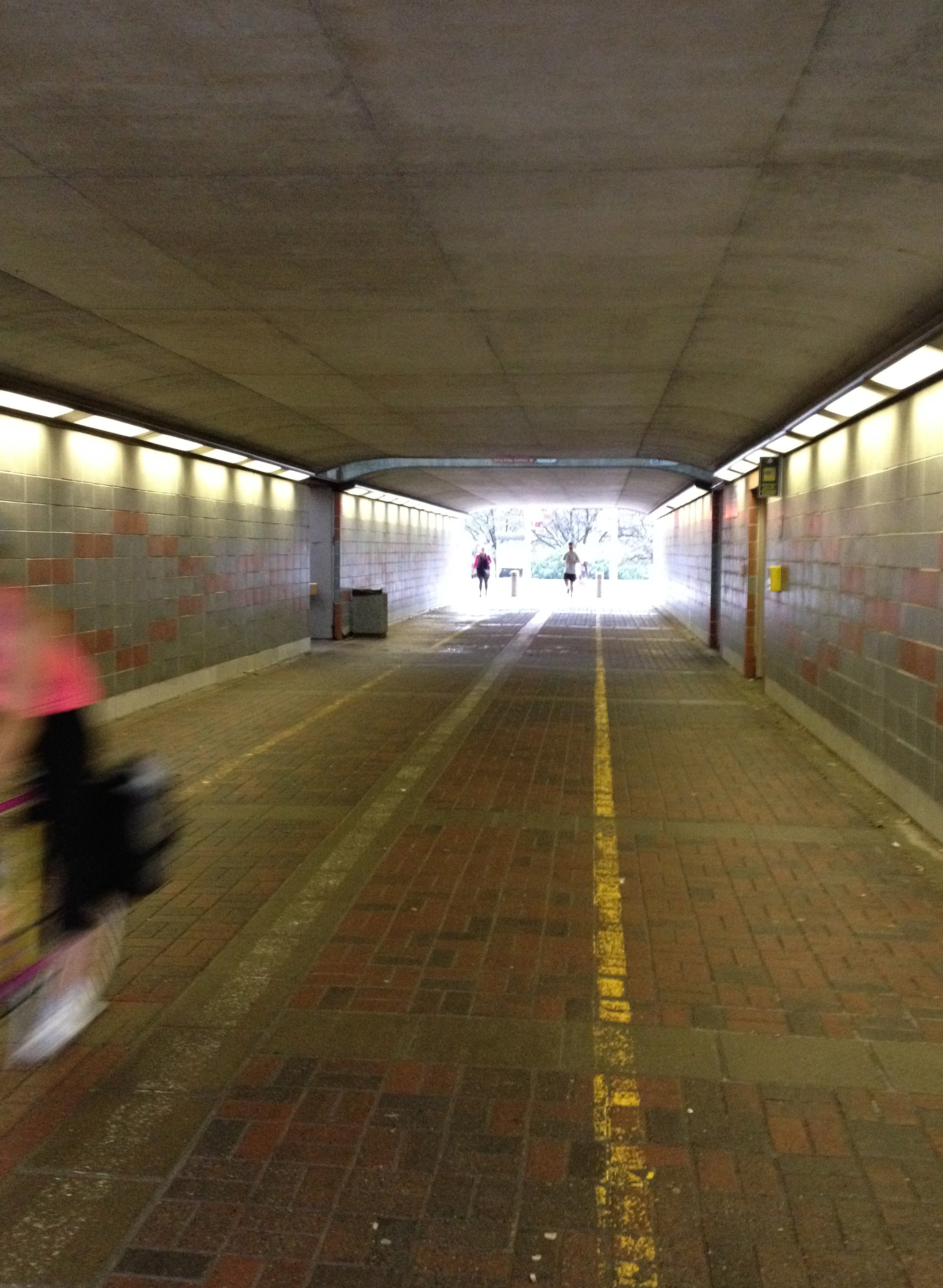
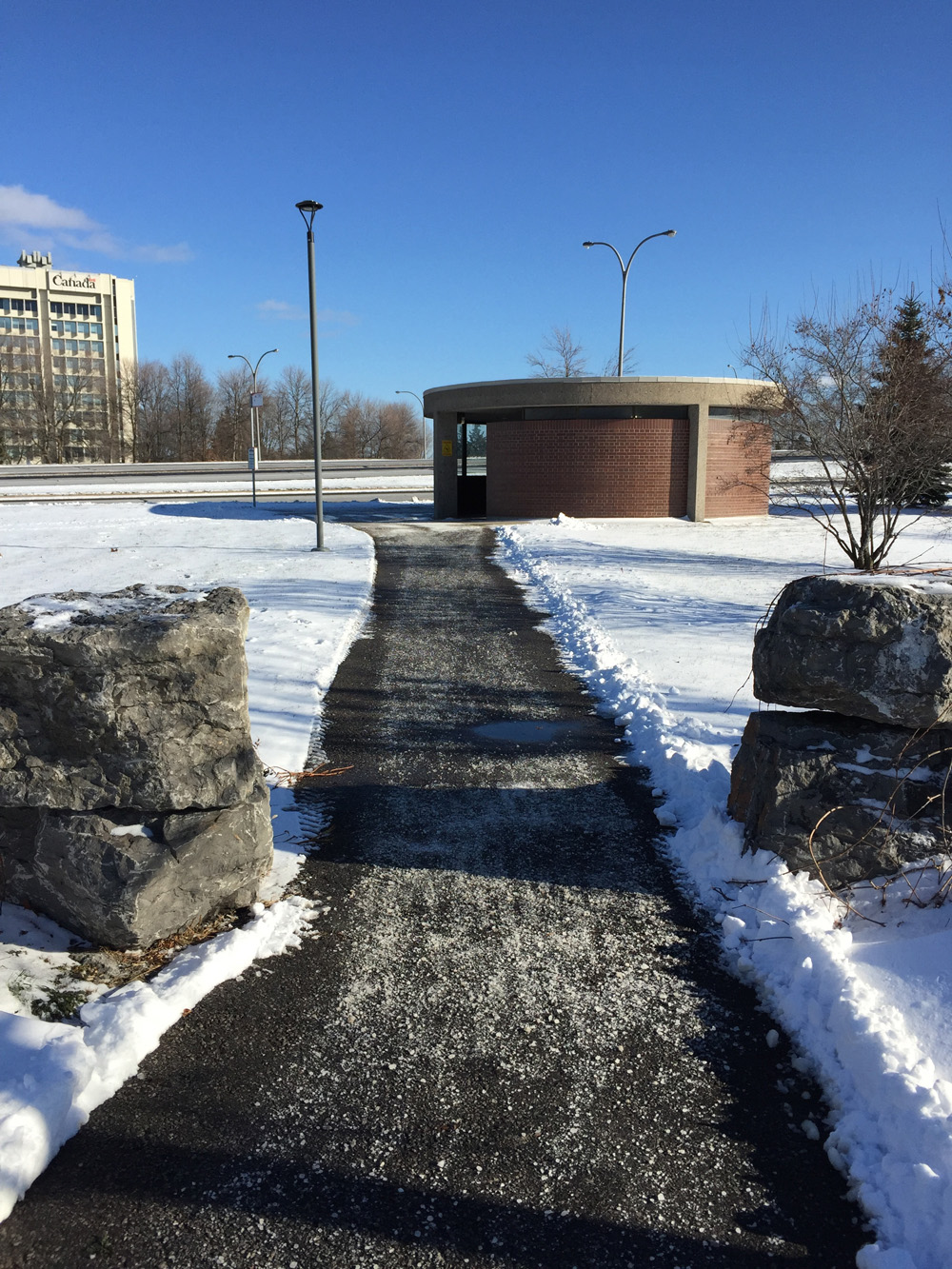
While driving to the airport I’ve often noticed two small pillbox shaped pavilions on either side of Bronson which I assumed to be some sort of utility stations, but are actually access points to an all-season pedestrian tunnel under Bronson. The wide circular stairwell has very shallow steps and ample room to either push or carry ones bike.

Pillbox shaped building - access to passageway under Bronson
Pillbox shaped building – access to passageway under Bronson
Bronson pedestrian underpass

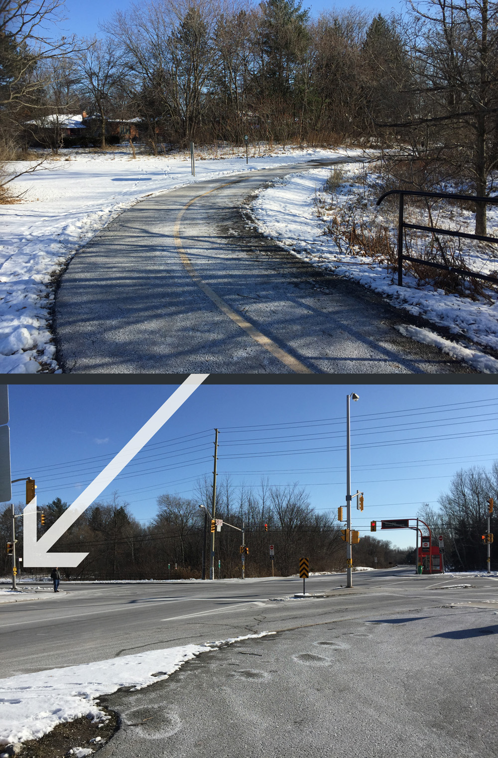
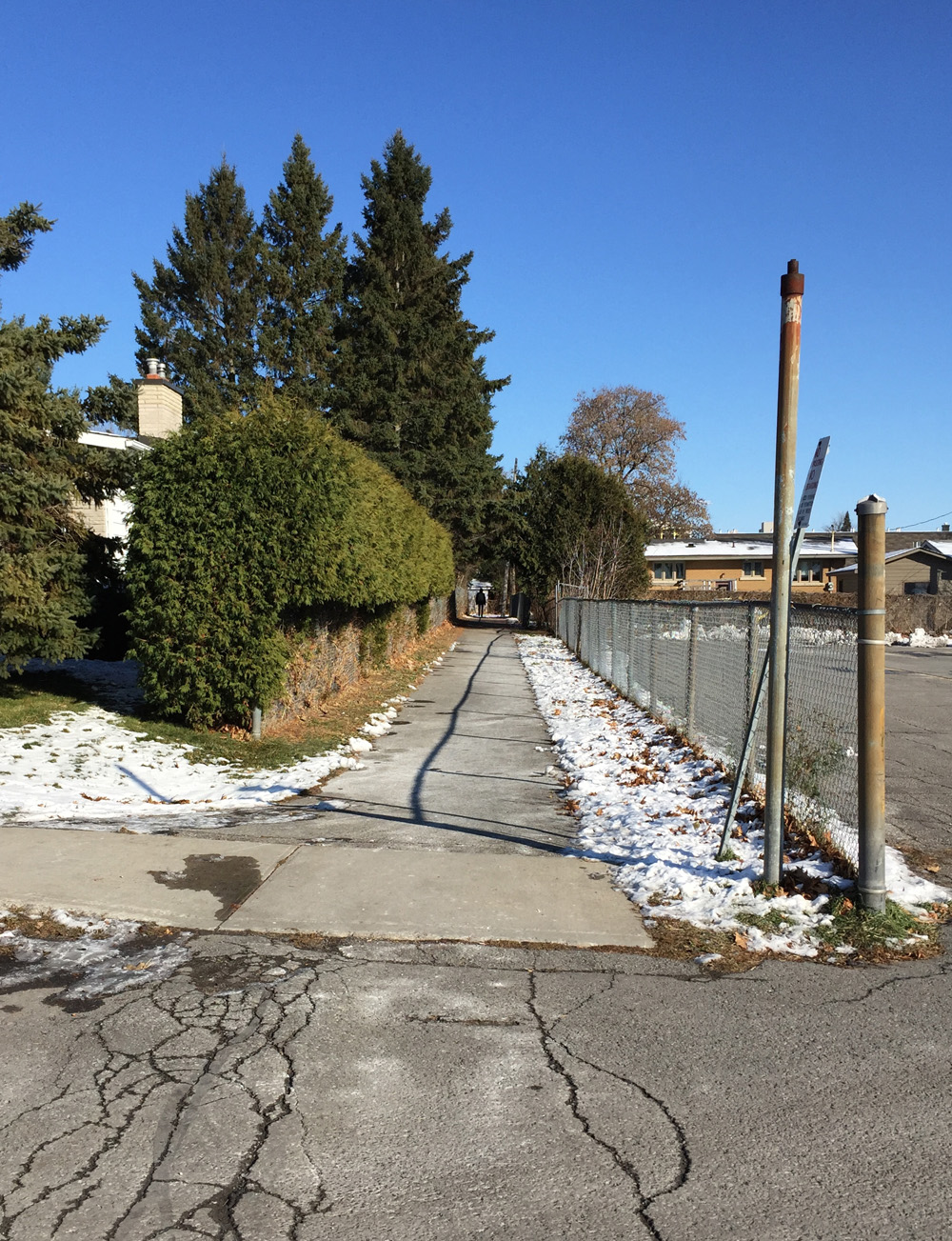
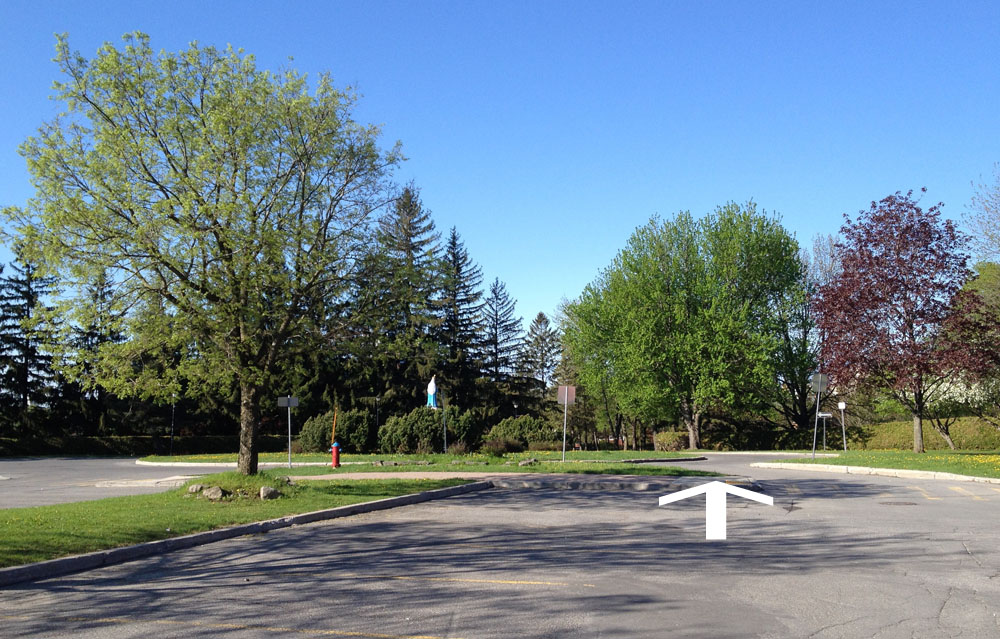
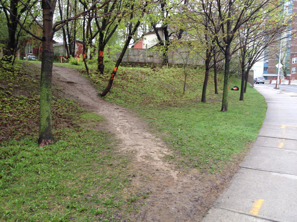
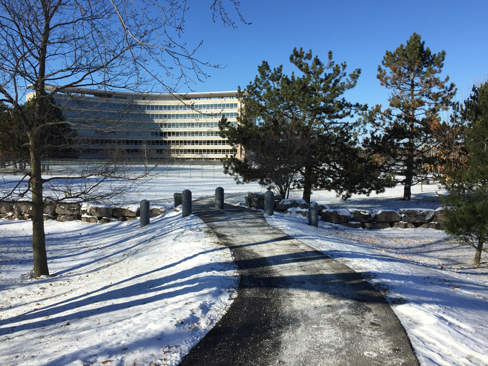
Once on the east side of Bronson, I cut along the salted path towards the tall government buildings. UPDATE 2019 : Previously this route followed Data Centre Road down the hill towards Riverside Drive. This updated route now follows a cleared and salted path on the north side of the Canadian Revenue Agency building down to the parking lot of the RA Centre, as indicated on the above map. It’s safer (no cars) and more direct.

Concrete path along the north side of the Canadian Revenue Agency building that becomes an asphalt path that leads down to the RA Centre parking lot.
RA Centre
RA Centre

Et voila!

Winter bike commute from Lincoln Heights to Colonnade Road

The national capital region has a fine network of recreational pathways used by many cyclists throughout the spring, summer and fall to get to work, however only a small portion of the paths are maintained throughout the winter. This results in many cyclists having to abandon their regular ride in to work throughout the snowy months, or attempt to find a safe alternative route. BK was enquiring about a route from Lincoln Fields in the west end of town to Colonnade Road further south, since sections of the Pinecrest Creek Pathway aren’t cleared of snow. Here’s what I discovered.

Our journey begins at the intersection of Assaly Road and Richmond Road. I rode through the intersection, then around the Lincoln Fields Shopping Centre through the parking lot.

Intersection at Assaly and Richmond Rd

There are traffic lights on the south side of the shopping centre to get across busy Carling Avenue over to Connaught Avenue.

Intersection at entrance to Lincoln Fields mall across Carling to Connaught Ave

Connaught eventually veers east just before the Queensway and becomes Roman Avenue. There’s a path that cuts between houses at the eastern corner of Roman Ave. This path was cleared but not salted for a short 40m section. Beyond that the path was both cleared and salted.

Path at the corner of Roman Ave & Hindley St

The cleared/salted section of path follows alongside the Queensway to the OC Transpo transit stop. I carried my bike down the stairwell one level to the Transitway. I could have taken the elevator.

Entrance to covered OC Transpo station.... and stairwell down to Transitway
Entrance to covered OC Transpo station…. and stairwell down to Transitway

This allowed me to access the Pinecrest Creek pathway, which is plowed and salted to Iris St.

Access to Pinecrest Creek Pathway from OC Transpo stop

I wasn’t expecting to see the Pinecrest Pathway cleared and salted south of Iris St, but it was, and, as one cheerful cyclist riding in the opposite direction confirmed, all the way to Algonquin College! In hindsight I suppose this is done to provide students access from the transit station. That’s a guess. Regardless, it was a pleasant surprise.

Pinecrest Creek Pathway continuing at south-east corner of Iris & Transitway

Ducks in Pinecrest Creek along pathway

Turn right along path across Transitway towards Algonquin

Things get a little wacky along the path just beyond Baseline. In snowless conditions, most cyclists ride along the wide sidewalk in front of the transit stop entrance (towards the left on the photo below) to access the path on the opposite side, versus following the official route (off to the right on the photo below) that veers around the transit stop. Looks like the sidewalk is plowed but not salted, so I took the official path.

On the left - sidewalk in front of transit stop. On the left - path around the transit stop.
On the left – sidewalk in front of transit stop. On the right – path around the transit stop.

To get across Woodroffe Ave I left the path and crossed at the intersection opposite College Avenue.

Exit off path towards College & Woodroffe intersection

I rode along College and turned off the path that accesses Ryan Farm Park. I was expecting the path through Ryan Farm Park to be cleared & salted as it is one of the few access points to the campus from the huge residential area just to the south where many students dwell. It was, but only to the edge of the park. There is a path that appears to be plowed/not salted along the western edge of the park, but the predominant desire line which I am confident is trampled flat within hours of a snowfall by hundreds of students, cuts right through the park. I relied on my studded front tire to get me across safely.

Path off the corner of College Ave....desire line through centre of park...cleared path along west edge of park
Path off the corner of College Ave… desire line through centre of park…cleared path along west edge of park

I then wove may way along quiet residential streets, eventually accessing Meadowlands Drive from Rowley Avenue. I often hear mention of Meadowlands in radio traffic reports, which is usually indicative of a pretty busy street. It was indeed, however the single lanes are quite wide. Not too encouraging for winter riding I realize, as that’s where snow gets piled. This route follows Meadowlands for just half a block, and the cleared sidewalk was safe enough to walk your bike. Or, one could ride along the sidewalk if there are no pedestrians, but I’m not suggesting anyone do that.

Meadowlands Dr W
Meadowlands Dr W

I then rode south along Perry St as far as Meadowlands Public School where there is a short cleared & salted path I took to access Glenridge Rd.

Path from Perry to Glenridge

I followed Glenridge to Viewmount Drive. The section of Viewmount from Glenridge to Merivale is lousy. Minimal shoulder and lots of impatient traffic. My route followed Viewmount for an extended block. I took to the sidewalk.

Viewmount Dr
Viewmount Dr

Viewmount isn’t as bad east of Merivale. There’s a generous shoulder to ride along half a block beyond Merivale. I turned south at the intersection of Grant Carman Drive, which leads to a bike path. This path, which accesses Colonnade Road, was cleared, not salted. At a distance of 325m to Colonnade it’s a fair distance to push one’s bike. Once again my studded front tire kept me upright.

Path to Colonnade
Path to Colonnade

I would not recommend riding along Merivale to access Colonnade. I consider it to be one of Ottawa’s most dangerous roads to bike along in any season.

Riding this route has made me realize sections of recreational paths are cleared if they provide a pedestrian link, for example to the OC Tranpo stations or to schools. Also, the extent of clearing seems to depend on whose jurisdiction or property the paths are on. It’s all a bit unpredictable, but definitely worth exploring in search of a safe winter bike commute route.

Riding the Churchill Avenue Bike Track!

The raised and segregated bike track that runs along both sides of Churchill Avenue between Byron and Carling recently opened to the public. There’s a very good description of it right here. This morning I went and tested it out. The video below the map follows its chemin heading north from Carling.

I found it to be a very civilized form of bike infrastructure.

And away we go!

Biking along the Sawmill Creek Pathway

The Sawmill Creek Pathway extension is completed and it’s fantastic! It now connects to the Brookfield Path at it’s northern end and runs south as far as Hunt Club Road. I’ve hi-lited the pathway in green. The blue line is the route I followed to get to and from Centretown.

Here’s where the Sawmill Creek Pathway begins along the Overbrook Path, just east of the train tracks.

Northern end of the Sawmill Creek Pathway

Below are a few images of the pathway.

Fresh pavement and fresh planting!

Alongside Airport Parkway for a short spell.

Under Walkley beside the Transitway Station, where the pathway used to end.
Under Walkley beside the Transitway Station, which was the northern end of the path before the extension.

The path runs through the Sawmill Creek Constructed Wetland, described extensively on this Quadracycling in Ottawa blog page

The path ends at Hunt Club. Unfortunately the transition from here to anywhere else is pretty rough.

On a previous occasion I turned east on Hunt Club to get to South Keys mall. To do so I stayed on the sidewalk for a short distance before cutting left through the parking lot just beyond the train bridge.

UPDATE, Summer 2015 –  The Airport Parkway Bridge opposite South Key Mall opened in 2014. See this post for more. An access to South Keys Mall has been created via a short pedestrian tunnel under the O-Train tracks a bit south of the pedestrian bridge. Signs are confusing but I checked with OC Transpo – bikes are allowed through the tunnel but walked, not ridden.

On this occasion, I chose to head west along Hunt Club. the transition across the transit way and Aviation Parkway off ramps was rough. Once beyond these spots there is a bike lane, however it doesn’t start for a few hundred yards. All very complex, so I prepared this little video to help explain. The video starts where the Sawmill Creek Pathway ends.

So apart from this nasty little section, the extension of the Sawmill Creek Pathway and the bike lane further along Hunt Club allows for a fine link over to Uplands Drive and areas south of the city.

Biking from Hintonburg to Merivale Road

Evan enquired about a safe bike route he could take from the corner of Hamilton Ave North & Spencer Street in Hintonburg, to Merivale Road & Capilano Drive. No problemo! Here’s how.

UPDATE – July 2015: Pink line is a more direct shortcut behind the Food Basics to Capilano Drive, as described at the bottom of the post.

Headed east on Spencer
And away we go….

I rode east on Spencer, crossed Holland at the lights, then turned left on Caroline and headed up the hill towards Wellington. There are lights across to Harmer, which doesn’t line up precisely with Caroline, so I walked my bike 10 feet or so along the sidewalk to the lights.

Slight jog to the lights across Wellington to Harmer Ave

I rode up Harmer to this pedestrian bridge over the Queensway. No stairs.

UPDATE July 29, 2018: The Harmer pedestrian bridge is no more! They ripped it down this weekend and are building a new one that won’t be ready for 2 years. The city has installed a very controversial detour along Holland that will be fixed before the school year starts. I have adjusted the route on the above map accordingly.

Path up & over the Queensway
Path up & over…

.... the Queensway.
…. the Queensway.

Continued along Harmer and turned left onto Island Park Drive, which has bike lanes, and followed it to the lights across Carling.

Lights at Island Park Drive & Carling Ave

I was pleased as punch to discover the path continue on the other side of Carling. I believe this link between Carling and Holland is recent. Last time I rode across I had to contend with sharing this mini-off-ramp with cars.

New bike path link from between Carling and Holland Ave

The path continues along the National Capital Commission Scenic Driveway on the other side of Holland. There’s a split in the path just as the Scenic Driveway veers east. I turned to the right which took me along a path through the patch of woods beside Fisher Avenue.

Right turn through the patch of woods

The woodsy section of path ends where it intersects the Experimental Farm Pathway. I turned right.

Turn right onto the Experimental Farm Pathway

The path follows along Fisher for a bit before coming to lights across Fisher. Things get a little convoluted here. The continuation of the Experimental Pathway on the other side of Fisher is a short distance north along Fisher. It’s barely noticeable from the lights.

White arrow shows where the path continues on the other side of Fisher

I continued along the Experimental Farm Pathway and took the left exit just before the path veers right a short distance beyond Merivale, like so.

Left tine off the Experimental Farm Pathway

The path crosses Whtestone Drive right through to Madison Park.

Path across to madison

Once the path reaches Central park Drive it does a dipsy-do over to Celebration Park, like so.

Path link from Madison park to Celebration Park

I stayed right on the path through Celebration Park which brought me to the other side of Central Park Drive. I then turned on to Scout Street and followed it to a path that cuts through to the Supercentre mall parking lot.

Path off Scout St.
Path off Scout St.

This path eventually merges into the mall entrance street that I followed to the traffic lights across Baseline.

Riding along mall entrance towards traffic lights across Baseline

Immediately across the intersection on the north side of Baseline, there’s a short ‘desire line’ path that links to the Loblaws mall parking lot.

Well trodden desire line path to the Loblaw's parking lot.
Well trodden desire line path to the Loblaw’s parking lot.

I followed a lane that goes behind the Loblaws to avoid having to ride amongst folks frantically parking their cars. This brought me around to the lights at Merivale. Once through the lights there’s a path just a short distance along that turns off to the left.

Entrance to path off of parking lot

This path took me to Eleanor Drive. I then worked my way up Leaver Ave to the turn off through Gilbey Park.

Entrance to Gilbey Park

I turned left onto Gilbey Drive on the other side of Gilbey Park which brought me to Capilano Drive. Right on Cailano brought me to Merivale. Don’t know why, but my camera switched to an old-photo filter for this shot of our final destination, the corner of Merivale and Capilano.

Corner of Merivale & Capilano

UPDATE – July 2015: There’s a more direct shortcut from behind the Food Basics to Capilano Drive, that was recommended by a cyclist who regularly rides through the neighbourhood. I’ve hi-lited it in pink on the above map.

Shortcut from road behind Food Basics

Et voila!

In search of a safe north-south bike route across Carling, the Queensway and Baseline

This week I learnt that finding a safe route across the three busy east-west arteries of Carling Avenue, the Queensway and Baseline Road, anywhere between Prince of Wales Drive and Pinecrest Road is a tricky endeavour.

My search was spurred on by a request for suggestions on biking from Notre Dame High School in Highland Park over to Parkwood Hills. The blue line on the map below is a route with some rough spots I am comfortable biking through, however the request also needed to accommodate three travellers: one adult, one child passenger, and another child on their own bike. With two kids of my own, I would not recommend this route with bambinos in tow. But, that’s a judgement call, so I’ve included it below, with a description of the tricky spots. It’s identified by the blue line on the map. I’d suggest an adult solo dry run first.

I also tried a much safer route that I would feel comfortable taking my kids, however it’s more circuitous. See red line on map below.

And away we go.

Notre Dame High School on Broadview.
Starting point – Notre Dame High School on Broadview.

There is a crosswalk at Broadview and Carling. One major artery down.

Crossing Carling
Crossing Carling

The area east of Broadview between Carling and the Queensway appears to be zoned as light industrial. The streets I followed through this area (Kerr, Boyd and Dobbie) didn’t have a lot of traffic, but there are trucks and big potholes that go with them. This is the first zone I would hesitate to ride through with my kids.

Things get a little scarier passing under the Queensway along Clyde Avenue as it is a funnel through to another industrial zone on the other side. No designated shoulder and more trucks. The sidewalk might be an option to consider.

Under the Queensway along Clyde

I then cut through Carlington Park by riding along the stone dust path that goes around the perimeter of the baseball field.

path around Carlington park baseball field

The area east of Calington Park is mostly residential with a few small industries hugging the edge of the park. Edgecliffe Avenue is a gradual climb up to Morisset Avenue. There is a link to the Experimental Farm Pathway halfway down Morisset.

Bike path link along Morisset Avenue

I turned left onto the Experimental Farm Pathway and followed it for a short distance through a wooded area before taking a right along a path link that goes into a residential area called Central Park.

Left turn onto the Experimental Farm Pathway...... then a right turn off of the Experimental Farm Pathway
Left turn onto the Experimental Farm Pathway…… then a right turn off of the Experimental Farm Pathway

There is a bike path that cuts through from Whitestone Drive to Central park Drive, and then through Celebration Park to Central Park drive which loops around. One could also just stay on Central Park Drive. I then turned on to Scout Street and followed it to a path that cuts through to the Supercentre mall parking lot.

Path off Scout St.
Path off Scout St.

This path eventually merges into the mall entrance street that I followed to the traffic lights across Baseline. This is another area I would hesitate riding through with my kids, as drivers tend to be much less predictable in mall parking lots.

Riding along mall entrance towards traffic lights across Baseline

Immediately across the intersection on the north side of Baseline, there’s a short ‘desire line’ path that links to the Loblaws mall parking lot.

Well trodden desire line path to the Loblaw's parking lot.
Well trodden desire line path to the Loblaw’s parking lot.

I followed a lane that goes behind the Loblaws to avoid having to ride amongst folks frantically parking their cars. This brought me around to the lights at Merivale. Once through the lights there’s a path just a short distance along that turns off to the left.

Entrance to path off of parking lot

This path took me to Eleanor Drive. I then worked my way up Leaver Ave and Beaver Ridge. The request was from Notre Dame High School to Parkwood Hills, which I’ve taken the liberty to mean Parkwood Hills Public School. At the top of Beaver Ridge just beyond Capilano there’s a dirt path through to the small streets around Huron Towers. I followed this to avoid having to ride along Meadowlands Drive, a busy street that’s always felt dangerous to ride along, especially while it’s presently under construction.

Path off Beaver Ridge towards Huron Towers

The path came to the entrance lane to the Huron Towers. I followed it to Meadowlands where there is a cross signal to Tiverton Drive, and our destination, Parkwood Hills School.

parkwood

Et voila!

Bike commute from Primrose Park to Pointe-Gatineau

Beth is seeking safe ways to bike commute from the northern section of Little Italy to the eastern edge of Pointe-Gatineau. I scouted out a route that is almost entirely along bike paths, as identified by the blue line on the map below. Red line is the slight variation I took on the way back. Green line is another route Beth test rode last week that is also almost entirely along bike paths, however the path was flooded in a few areas near the confluence of the Gatineau and Ottawa Rivers forcing her to do a bit of a detour. It’s a great route too, best ridden a little later in the season. UPDATE 2017: (see pink line on following map) There’s a great new bike lane on the east side of the Gatineau that runs between Rue Jacques Cartier and the Ottawa River which joins up with the Route Vert path heading north, then the bike lanes along Montée Paiement. This takes you straight to our final destination. This new section is described in this post.

We begin at the recently renovated Primrose Park, corner of Primrose and Rochester St.

And away we go!
And away we go!

There is a short path at the northwest corner of the park that cuts through to a lane that leads to Preston St.

Path to Preston St
Path to Preston St

I turned north on Preston and rode half a block to the lights at Albert, crossed at the lights and rode east along the bike path.

Looking across the to the bike path heading east along Albert.

I turned left off the path onto bumpy Commissioner St, which leads to the Ottawa River Pathway which continues under Wellington St.

Down Commissioners st onto bike path.

Once beyond the Wellington St underpass I turned left up along the path over the Portage Bridge. On the other side of the bridge I turned right onto the Voyageurs Pathway and circled under the Portage Bridge and headed east.

Voyageurs pathway access off the Portage Bridge

I crossed Boulevard Alexandre-Taché at the lights at the corner of Rue Montcalm and joined the Ruisseau-de-la-brasserie Pathway like so.

Start of the Ruisseau-de-la-brasserie Pathway at the north west corner of Montcalm and Alexandre-Taché

The path takes a short detour around construction just in front of Théâtre de L’Île. It’s a short detour around the parking and over the canal bridge. Once on the other side of the bridge I turned right onto Rue Taylor which hugs the side of the stream, eventually becoming the Ruisseau-de-la-brasserie Pathway at it’s northern end once again.

Rue Taylor along the western side of the ruisseau

The path dips down and under Rue Montcalm and meanders along the ruisseau for quite a spell.

Ruisseau-de-la-brasserie Pathway as it dips under Rue Montcalm

The path eventually goes back over the ruisseau and continues downstream on the other side.

Continuing on the Ruisseau-de-la-brasserie Pathway

The path continues under Highway 5, however there were these P-gates just before the underpass and a sign warning that it may be flooded.

Ruisseau-de-la-brasserie Path just before going under Boulevard des Allumettières

A cyclist popped out from the other side just as I approached and reassured me that there was only about a couple of inches of water across the path, so I went and took a look, and she was right, so I rode on through.

Ruisseau-de-la-brasserie Pathway heading under the Boulevard des Allumetières
Ruisseau-de-la-brasserie Pathway heading under the Highway 5

I turned left over a small wooden bridge a short distance beyond the underpass. This took me towards Lac Leamy.

Left over bridge just beyond the Highway 5 underpass.

Before going any further I would like to pause and contemplate this little wooden bridge, which I have come to call The Little Bridge From Hell! You see, the last time I rode over it I crashed, resulting in a meniscal tear in my knee, sidelining me for a good chunk of last Fall. A light drizzle had fallen that morning making the wooden surface very slippery. Heading back over the bridge in the opposite direction, the path suddenly turns to the right. one’s instinct is to start to turn while still on the bridge, as suggested by the tire tracks in the image below. When I did so my tires slipped right out from under me. As I put my right leg out to brace my fall my foot slipped uncontrollably in the opposite direction, bringing all my weight down on my knee. Thus the injury. SO, hard lesson learned, if it’s raining or frosty, go very slowly over this innocent looking little bridge and don’t start to turn until you reach the asphalt on the other side.

The Little Bridge From Hell

OK, on with our tour. The path continues along until it joins the Leamy Lake Pathway. One could normally choose to go either to the left or the right around the lake, however at this time of year the east side of the lake gets very flooded, so I stuck to the left.

Path around Lac Leamy

A bit further along the path I encountered another minor wet spot, also very manageable. Shoes didn’t even get wet.

Bit of water on the path
Bit of water on the Lac Leamy Pathway

Around the other side of the lake, just beyond the parking lot, I turned left onto the Gatineau River Pathway.

Left onto the Gatineau River Pathway

The path forks at the edge of the elevated Rapibus transit way. I followed the path to the right under the transit way.

Path under the Rapibus Transitway.

I then followed the path alongside the transit way, up and over the Gatineau River.

Path up to the bridge over the Gatineau River

Everything becomes a bit of a dogs breakfast once the path reaches Boulevard de la Gappe. The path crosses the train tracks, and continues on the opposite corner through the traffic lights. See big white arrow in photo below.

Path continues on the opposite corner of Boulevard de la Gappe

The path weaves it’s way the entire length of Boulevard de la Gappe to our destination, Boulevard de la Cité.

Path along Boulevard de la Gappe

There’s a swimming pool close by with one of the cleverest bike rack/wall mural combos in the region.

Cool bike rack
Excellent bike rack

On the way back I decided to avoid riding along the Gatineau River and around Leamy Lake by continuing alongside the Rapidbus transit way to where it ends at Boulevard Montclair. I crossed Montclair at the lights and rode east.

Left onto Montclair
Left onto Montclair

Montclair can be a pretty busy street with fast moving cars, but there is a bike lane that takes you to the path that accesses the Ruisseau de la Brasserie Pathway.

Bike lane along Montcair at pathway to Ruisseau de la Brasserie

Heading towards Pointe Gatineau along this alternate route would require biking on the sidewalk against traffic as far as the lights across from the start of the bike path beside the transit way, however I’ve rarely seen any pedestrians along this sidewalk. If any are encountered there is plenty of opportunity to see them coming to dismount and walk your bike past them with a great big smile! So there you have it – a few fine ways to bike to Pointe Gatineau!

Bike commute from The Glebe to Gloucester High School

Chris was wondering what route I would choose to get from Fifth and Bank in the Glebe over to Gloucester High School in the east end of town. It’s a tricky ride. The challenge lies in figuring out safe ways to cross a number of major north-south arteries including the Rideau Canal, the Rideau River, the Vanier Parkway, St Laurent Boulevard and the Aviation Parkway, without the route becoming too erratic. I also wanted to avoid bicycling down busy streets. Here’s what I came up with. Blue line shows how I got there. Red lines are variations I took on the way back.

All set to go!
All set to go!

Headed straight down Fifth Avenue towards the Canal. Crossing Queen Elizabeth Drive to get to the path along the canal can take awhile if traffic is heavy, however this will be alleviated when traffic lights are installed at the intersection this summer. UPDATE – July 2014: Signalled crossing is in!

Rode north along the path and crossed at Pretoria Bridge, which has a bike lane.

Up and over Pretoria Bridge

That took me to the intersection of Hawthorne Avenue and Colonel By, on the east side of the bridge. Things get a little tricky at this spot. If traffic is bad I recommend crossing to the opposite corner and walking your bike for a short distance along the sidewalk to where it veers left along Echo Drive, like so.

Making your way over to Echo Drive

I then turned down the first street on the left which is Graham Avenue. It has a bike lane.

Graham Ave
Graham Ave

Three quarters of the way down Graham Ave, before reaching Main Street, I took a shortcut through the parking lot of the school on the right to avoid Main as much as possible.

Shortcut
Shortcut

Unfortunately I had to ride along Main for a block before turning left onto Springhurst Avenue. UPDATE – Summer 2017: There are now protected bike lanes along Main Street.

When traffic is heavy along Main, as it tends to be at rush hour, I cross at these lights at Evelyn Avenue and walk my bike along the sidewalk to Springhurst. UPDATE – Oct 2014: A section of Lees, joined at the end of Graham, now has a bike lane heading east, as described in this post, providing an alternative to riding along Main. There is no bike lane along Lees heading west so I took Evelyn Ave on the way back, as per the above map, thus avoiding riding along dangerous Main and Lees.

Main St. Turn of to Springhurst is at the red brick building
Main St. Turn off to Springhurst is at the red brick building

I rode to the end of Springhurst to get on this stone dust path and veered left for a short distance along the edge of the Rideau River as far as the Transitway bridge. UPDATE – Spring 2016: An important link along this route, the bike path along the transit bridge over the Rideau River, is closed for LRT construction Until January 2018. An alternative route around this construction site is shown as an orange line on the above map.

Path at the end of Springhurst

I took the path along the transitway bridge over the river, like so.

Bridge over the Rideau River

Once on the other side of the river I turned right, circled under the bridge, and headed east along the Rideau River Eastern Pathway.

The path under the Queensway remains accessible while they continue with construction, however the passageway under the scaffolding is pretty narrow so watch out for oncoming traffic.

Path under Queensway

I turned off the path at the sign pointing to River Road.

Exit
Exit

I turned right off River Road onto Presland. There’s a pedestrian cross signal to get across the Vanier Parkway.

Crosswalk signal at Presland and Vanier Parkway

I continued all the way down Presland which became Hardy Rd.

Presland Road - nice quiet street.
Presland Road – nice quiet street.

At the end of Hardy I wove my way north-east a few blocks and crossed St Laurent Boulevard at Donald St. It’s a 4 lane intersection, but not for too long beyond St Laurent. I then wove my way further north-east along quiet residential streets to Gardenvale Road, off of which there is a short path that takes you to the Aviation Pathway.

Path off Gardenvale....up to Aviation Pathway
Path off Gardenvale….up to Aviation Pathway

I then crossed Aviation Parkway at the entrance to the Cité Collégiale and rode along its narrow but adequate bike lane into the centre of campus.

Road into the centre of La cité collégiale campus

I rode through the campus, turned left on Bathgate Drive, then turned right into the National Research Council campus.

Riding on Bathgate just before the turn onto the NRC campus

Wove my way through the NRC campus, then turned right on Blair, which is a speedy two lane road, but I only followed it for a short bit and it has a bike lane.

Bike lane on Blair Road

Turned left into the quiet residential area of Cardinal Heights along Mowat St, then right on Crownhill St, and finally left on Appleford St which brought me right to Gloucester High School. Ta-da!

Gloucester High School seen from Appleford St and Ogilvie Road

Now on first blush one might think it preferable to take the more direct route from the end of Hardy St along Coventry Road and Ogilvie Road beyond St Laurent Blvd. There is a bike lane along Ogilve Road as indicated on Google Maps bike layer, however Ogilvie Road is a 4-6 lane highway wannabe, and the bike lane ends at Blair Road heading east. I took this route heading back. Here’s what it’s like just west of Blair. Lots of trucks too.

Ogilvie Road just west of Blair.

Coventry Road doesn’t have a bike lane, and this is what St Laurent looks like from Ogilvie looking across to Coventry.

St Laurent looking across to Coventry Road

Google maps estimated the alternate route I chose through Cite Colégiale and the NRC would take an additional 10 minutes versus heading straight down Coventry and Ogilvie.

So there you have it. It was nice to get back on Presland.

Presland2

Bike commute from the intersection of Aviation Parkway & Montreal Road to Downtown

Chris was wondering if I could recommend a safe route from the intersection of Aviation Parkway and Montreal Road to the path below Parliament Hill. Here’s what I came up with. Blue line on the map is the route I followed. Red line is an alternate route described in more detail on the May 15th ‘Bike commute from Rockcliffe Park to Downtown and Chinatown‘ post.

Our journey begins at the North/West corner of the Aviation Parkway and Montreal Road, across from the CMHC headquarters where I joined the Aviation Parkway Path and headed north.

Access to the Aviation Pathway at the north/west corner of Montreal Road and the Aviation Parkway

The path weaves it’s way through a wooded area. Just before the path exits the wooded area there is a short unmarked dirt path that turns off to the left. This path brought me to Truro St.

Dirt path along Aviation Pathway

I turned left on Truro, then right on Britany Drive. I followed Britany Drive down to where it crosses St Laurent Boulevard. There are painted yellow dots on the asphalt at this intersection. Stopping your bike above these dots activates the timer for the lights to change.

Yellow dots at the intersection of Britany Drive and St Laurent.

I crossed St Laurent and continued straight on Dunbarton Ct which eventually turns to the left. A bit further on I turned right onto a lane covered with pavers with an open waffle pattern. The lane is a short bumpy connection to Pauline Charron Pl. UPDATE- November 2016 – The connection has been rendered un-bumpy!

Lane connecting Dunbarton Ct & Pauline Charron Pl

I followed Pauline Charron to a path off to the right that cuts through Richelieu Park over to the Richelieu-Vanier Community Centre parking lot.

Path into Richelieu Park

I continued through the parking lot past the crowned statue of Mary dressed in blue, and down Pères Blancs Ave. as far as it went to Marier Ave.

Through the parking lot, around past Mary in blue

I turned left on Marier, past the house with the wild collection of plastic lawn ornaments.

Left on Marier
Left on Marier

Just a bit further on I turned right on Hannah St.

Turn right on Hannah. Don't know this guy. Sheer coincidence he rode by as I took the picture.
Turning right on Hannah. Don’t know this cyclist. He rode by as I took the picture.

I continued a short distance along Hannah St and turned right onto Deschamps Ave.

Turning right on Deschamps. Don't know this guy either. Lots of riders in Vanier!
Turned right on Deschamps, just like this cyclist. Lots of riders in Vanier!

I crossed the busy Vanier Parkway at the signalled crosswalk at the end of Deschamps Avenue. This is a much safer location to cross than either Montreal Road or St Patrick St.

Crosswalk at Vanier Parkway

There’s short path on the other side of the Vanier Parkway that links to Coupal St. I followed Coupal to North River Road, then crossed the park along a path that linked up with the Rideau River Eastern Pathway.

Path through the park at the end of Coupal St

The path goes under the St Patrick Street bridge as far as Stanley Ave. The route continues west along Stanley for a short distance before re-becoming the pathway just beyond the playground.

Rideau River Pathway along Stanley Ave for a short distance

I rode along the pathway, then crossed the white Minto bridges over the Rideau River. The bridges are presently closed to vehicular traffic but not to bicycles. Whenever they do re-open to car traffic, and if you aren’t comfortable with sharing an open metal gridded surface with cars (the sound car tires make on these surfaces can be pretty spooky and intimidating), you can push your bike across the very generous wooden sidewalk on the side of the short bridges.

Minto bridges
Minto bridges

Once over the bridges I turned left onto the path that takes you along the river.

Path into Bordeleau Park

A bit further on the path forks to the left along the river, or right towards King Edward. I stayed left.

'Bear left! Right frog.'
‘Bear left! Right frog.’

I followed the path until it reached Rose St. I went down Rose St, then turned right on St Andrew to the crosswalk across King Edward Avenue.

King Edward crosswalk at St Andrew

I then followed St Andrew all the way to Sussex Drive. Sussex is presently under construction, however I was able to cross over to the National Gallery drop off lane way. As construction is unpredictable by nature, or if traffic is heavy along Sussex, one may be required to walk one’s bike along the east sidewalk of Sussex for a couple of blocks and cross Sussex at the lights at St Patrick.

Sussex at St Andrew
Sussex at St Andrew

When all the construction is completed there will be bike lanes along Sussex that will extend all the way to Stanley Avenue and beyond, as described in this attachment (click).

Once on the open plaza in front of the National Gallery I crossed over to the pathway that runs along the edge of Major’s Hill Park right here.

Where to cross to the path that runs along Major's Hill Park
Where to cross to the path that runs along Major’s Hill Park

I turned right onto the pathway and followed it to the end of Major’s Hill Park, before turning left onto the paved lane that goes down what my good friend Nadia calls Bastard Hill. It’s really steep.

Where to turn off the path on and head down the hill to the Ottawa River

This winds down to the canal locks, over which you cross to get to our final destination – the path below Parliament Hill. Ta-dah!

Canal locks
Canal locks

Bike commute from Rockcliffe Park to Downtown and Chinatown

I received a couple of requests for commuter routes starting from Rockcliffe Park. One was how to get to Chinatown and the other was how to access the path along the Ottawa River below Parliament Hill. I combined the two since the following recommended routes vary only slightly. Here goes.

Blue line is the route I followed from Rockcliffe to Chinatown. Red line is the slight variation heading home in the opposite direction. Green line is the route towards the path that runs behind Parliament Hill.

Our adventure begins in the Village Green, an intimate and contemplative public space near the centre of Rockliffe Park.

The Village Green
The Village Green

I exited the Village Green at the corner of Mariposa and Springfield, and headed west on Meriposa.

Something tells me the Yarn Bombers have been by....
Something tells me the Yarn Bombers have been by….

I then turned at the first left down Sir Guy Carleton St and followed it right to the end to the Soeurs de la Charité convent.

East wing facade of the Soeurs de la Charité convent.

Turned right on Maple Lane and followed it to where it met up with Lisgar Road.

Yarn Bombers on the loose!

Turned left on Lisgar, which skirts around the Governor General’s Residence, delineated by one of the fanciest fence and fence post combinations around.

Fancy fence post
Fancy fence post

I turned right on Dufferin and continued all the way down to the river. I got onto the Rideau River Eastern Pathway by turning left and headed up river.

Getting on to the Rideau River Eastern Pathway

The path goes under St Patrick Street, which, according to the cyclist in the orange shirt up ahead, was covered in water a week ago.

Path under St Patrick St.

I continued along the path, which is a very beautiful ride along the river, all the way to the Cummings Bridge, and the one messy spot on our tour.

Approaching Cummings Bridge along the river

There is a bike lane over the bridge heading west, but it is presently cut short by construction happening on the west side of the bridge like so.

Construction - bike lane ends
Construction – bike lane ends

I suggest crossing over to the south side of the bridge back at the lights and walking your bike along the sidewalk. Fortunately it’s a pretty interesting bridge to cross by foot. For example, you can look out onto Cummings Island which was once accessible and had a general store with the only phone service in town.

Cummings Island
Cummings Island

There isn’t a bike lane heading east over the bridge, and it’s an extremely busy artery with buses and impatient commuter traffic, so I highly recommend walking your bike along the sidewalk heading east as well, construction or no construction.

On the west side of the river there are three very well trodden desire line paths of various steepness that head up to Besserer Park. The path furthest up shore is the least steep, like so. UPDATEMay 2015 There is now a paved bike lane where the desire lane path used to be, as described in this post.

Path up to Besserer St
Path up to Besserer Park

... and through Besserer Park to Besserer St.
… and through Besserer Park to Besserer St.

I pushed my bike up to Besserer Park then zig-zagged my way along quiet streets (Besserer, Wurtenburg, Daly, Cobourg) to Stewart St which has a very freshly painted bike lane line.

Bike Lane along Stewart St

Stewart is a one way heading west, so on the commute back to Rockcliffe take Wilbrod St which is one way heading east (see red line on above map).

After crossing busy King Edward I headed one more block west and turned left on Cumberland, then right on Wilbrod. I then cut through the Ottawa U campus in front of Tabaret Hall.

Tabaret Hall
Tabaret Hall

I crossed Laurier and continued through the campus on the other side. The road takes a little jog left then right onto a multi use Jean Jacques Lussier with a very wide pedestrian lane, a bike lane heading south and a car lane with a bike sharrow. Ugh, so close. For more on my opinion on sharrows visit this post (click).

Jean Jacques Lussier Lane

It then veers to the left and becomes Marie Curie. Don’t go onto Marie Curie. Instead turn right,which will take you along a mini switch back bike lane and under Nicholas St, to pedestrian lights that get you across Colonel By Drive.

Pedestrian & bike Nicholas St underpass

Then it’s up onto the pedestrian bridge over the canal, then right onto the bike path along the canal on the other side. To continue west to Chinatown I cut through Confederation Park to the corner of Elgin and Laurier where I joined the Laurier designated bike lane and followed it all the way to where it ends at Bronson, across Bronson, and down Cambridge St N to the heart of Chinatown.

To get to the path behind Parliament Hill I went straight, versus cutting through Confederation Park (see green line on the above map). The path follows right along the canal. Rather than staying on the path many cyclists choose to ride up the NAC traffic ramp. I find it a bit dangerous because cars do travel quite quickly down the ramp, and there are ‘do not enter’ signs at the bottom of the ramp, so if you were to get hit I’m not sure who they would go after. I also once saw the police give a ticket to a cyclist heading up the down ramp.

As the path approaches Sappers Bridge there are two short flights of steps to climb. This might explain why many cyclists choose the NAC ramp versus the path, however there are bike gutters on the edge of the steps that make it easy to push your bike up.

Bike track along stairs at Sappers Bridge

Continuing under Sappers Bridge takes you out the other side on the path that goes down behind Parliament Hill.

Path down beside the canal locks and below Parliament Hill

Et voila!