Biking to Blue Skies Music Festival from Ottawa

Last Thursday I biked to a friend’s cottage on Sharbot Lake just south of the Blue Skies music festival, and then rode up to the festival site the following morning to set up our tent. Here’s how it went.

To get out of Ottawa I followed the Ottawa River Pathway and Watts Creek Pathway as far as Moodie Drive. A description of those paths can be found on this post. Rather than follow Watts Creek Pathway which continues on the other side of Moodie, I rode along Corkstown Road to where it meets the Greenbelt Pathway before it goes under the Queensway.

Following Corkstown Road............ to where it joins the Greenbelt Pathway
Corkstown Road, and the turn off to the Greenbelt Pathway under the Queensway

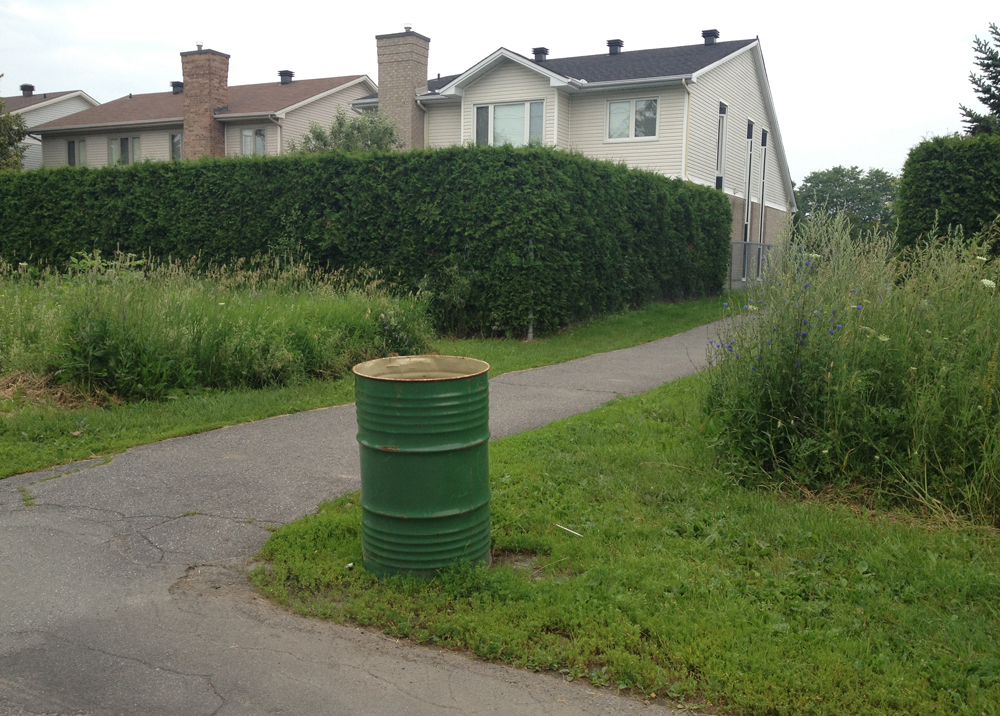
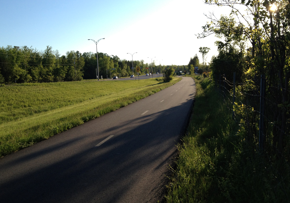
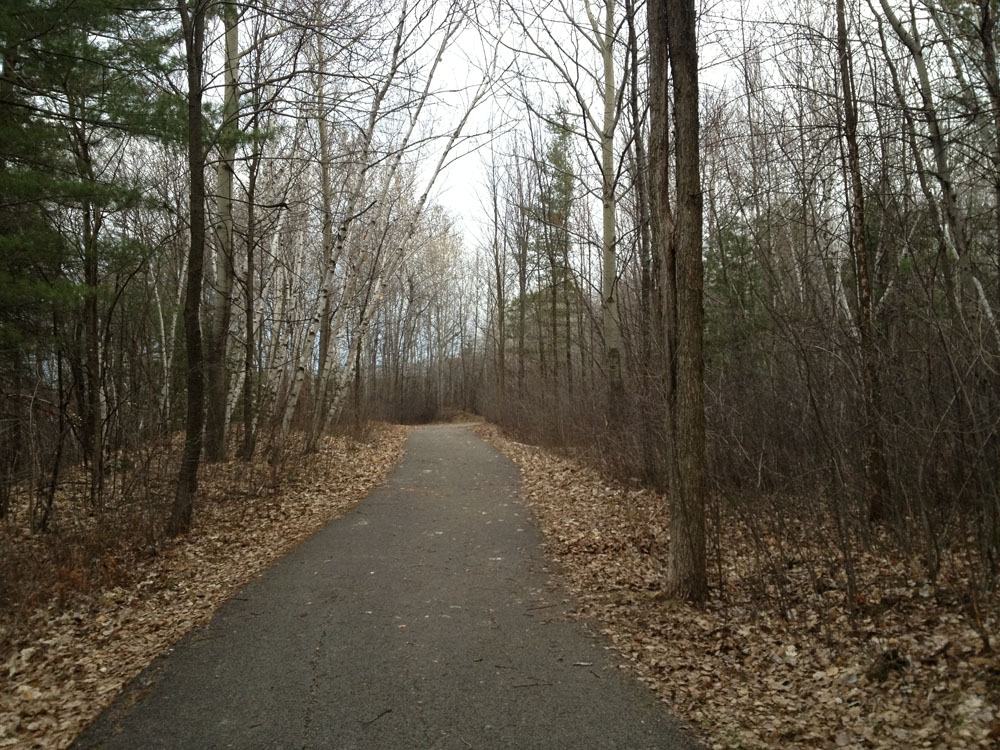
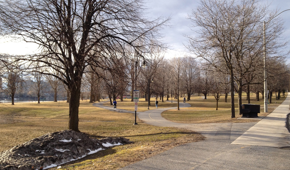
This section of the Greenbelt Pathway is a very pleasant meander through fields and woods.

Greenbelt Path1

Greenbelt Pathway
Greenbelt Pathway

I followed this path as far as Robertson Road to where it joins the rail-to-trail path that takes you all the way to Carleton Place, as described in this post. This time I rode through the rain, which made the crushed gravel a little slower going.

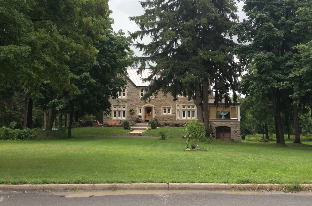
Carleton Place has a number of fine heritage buildings to ponder on your way through, such as the Town Hall on the edge of the Mississippi River.

Carleton Place Town Hall

I crossed the Mississippi at Bridge Street, and then headed South West on High Street – a safe road to bike down, with big old houses on either side as you head out of town.

Old house on High Street
House on High Street

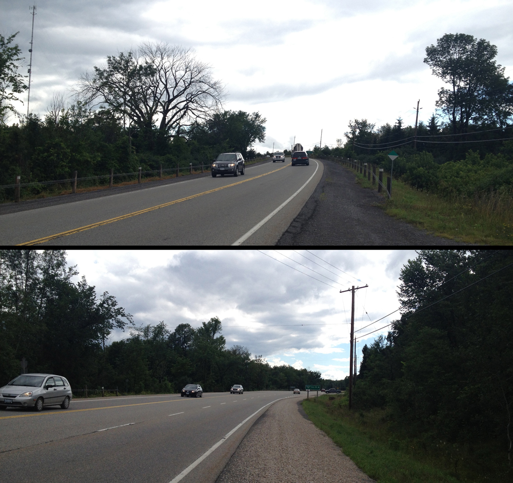
I then followed the Trans-Canada Highway for a 4km stretch. The Trans-Canada is a terrible two lane road to ride on. Folks drive along it as fast as they can to get from point a to b. That includes big transport trucks. Fortunately the section heading out of Carleton Place has a small paved shoulder and packed gravel that’s ride-able. I regret not having a small mirror attached to my helmet or handle bars to anticipate trucks roaring up behind me. It would have helped brace myself for the backdraft that shakes you on your bike as they pass.

4km stretch along the Trans-Canada Highway between Carleton Place and Tatlock Road

I turned onto Tatlock Road, a two laner that wasn’t too busy.

Tatlock Road
Tatlock Road, heading towards Blue Skies

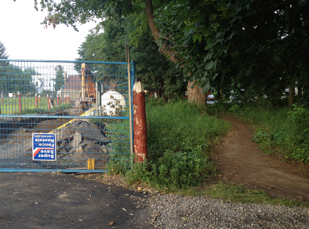
Before this trip I hadn’t realised how generous Google Maps is in their interpretation of what constitutes a road, that is until I reached the turn off to Forest Road.

Forest Road
Forest Road

That’s OK, says I. Carla had a copy of my route and my phone still had batteries, so off I went down Forest Road. It was a little bumpy, but quite bikeable.

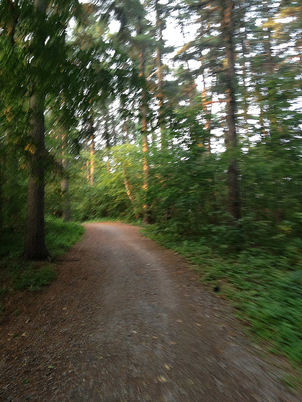
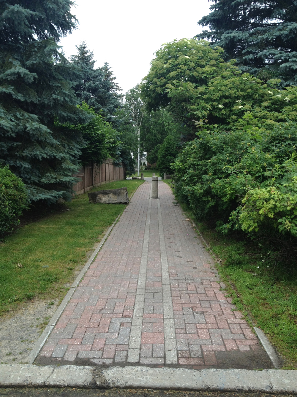
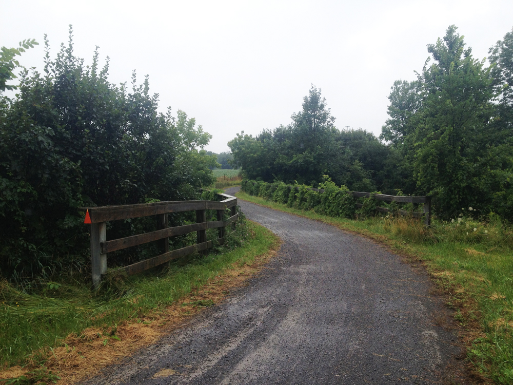
After crossing Old Perth Road, Forest Road became much more navigable, like so.

Old Perth Road
Forest Road beyond Old Perth Road

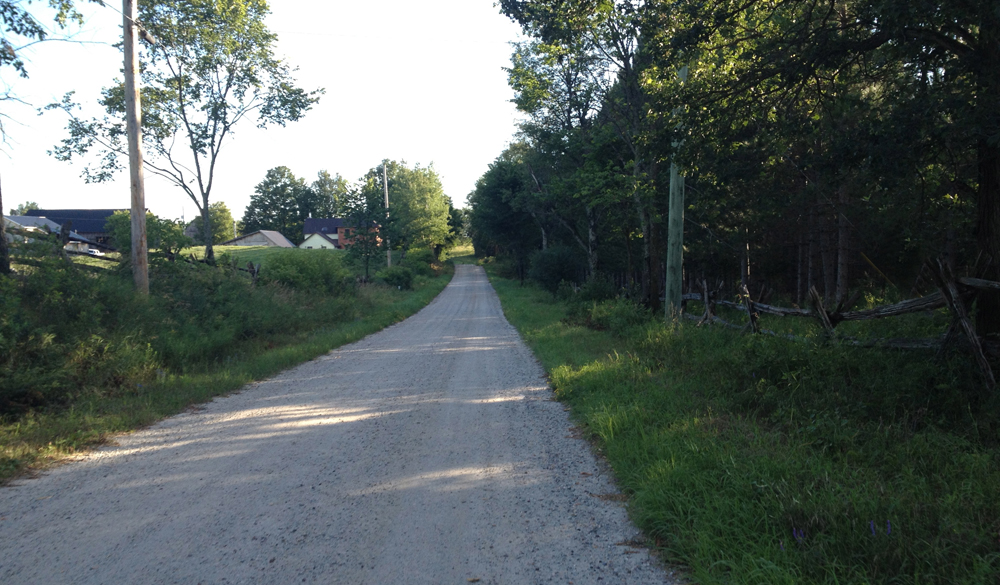
Concession Road 1 Ramsay and Boyds Road which became Ferguson Falls Road were very similar – packed gravel through farmland. Very nice to bike along.

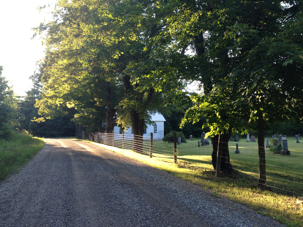
This Methodist graveyard along Ferguson Falls Road is located just before Pine Grove Road, or Route 12. I was struck by the landscape’s layers of rich contrasting colours.

Methodist Cemetery
Methodist Cemetery

I quickly discovered cars like to travel fast along route 12. Not as fast as on the Trans Canada, but still pretty fast.

Heading down Route 12

There were also a number of dump trucks travelling in the opposite direction, that I soon discovered were heading away from a huge quarry just off Route 12.

Dump Truck Alley
Dump Truck Alley

I rode into Lanark Village and paused long enough to buy liquids at their general store. I sensed this was a very special place, full of resilience and rich heritage. This building for example, that someone is conserving and re-pointing. I’ve since found this walking tour of Lanark Village that describes some of the towns origins. Can’t wait to re-visit.

Back to life in Lanark

Route 12 heading South of Lanark felt a lot safer with fewer cars and a nice wide shoulder in places.

Route 12 South of Lanark

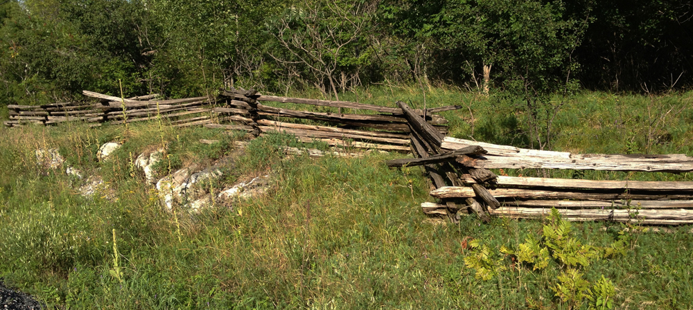
Lot’s of cedar post fences like these.

Cedar post fence
Cedar post fence

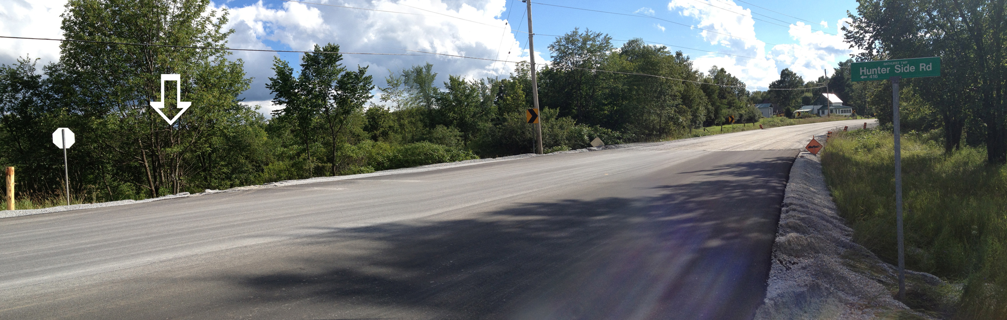
They are also right in the middle of paving the road further south in a way that suggests a wider shoulder will be in the offing. While I was humming along on this fresh asphalt I almost missed a little sign indicating Hunter Side Road, which was supposed to be my next turn. Where was the road? Just there, over the edge where the white arrow is pointing.

Hunter Side Road
?

And voila – Hunter Side Road!

Hunter Side Road
Hunter Side Road

I turned onto Bennett Lake Road, which is the perfect country road to bike along – very little traffic, and the few vehicules that did overtake me slowed right down and gave me lots of room.

Route 19
Bennett Lake Road

After crossing Elphin-Maberley Road, Bennett Lake Road became 11th Line Road, surfaced in a light coloured packed gravel excellent for biking.

11th Line Road
11th Line Road

11th Line joins Zealand Road which is paved and just as great as Bennett Lake Road.

Old house along Zealand Road

Turned onto Bell Line Road, which is a brown gravel surface, that alternates between packed and loose, still very good for biking.

Bell Line Road
Bell Line Road

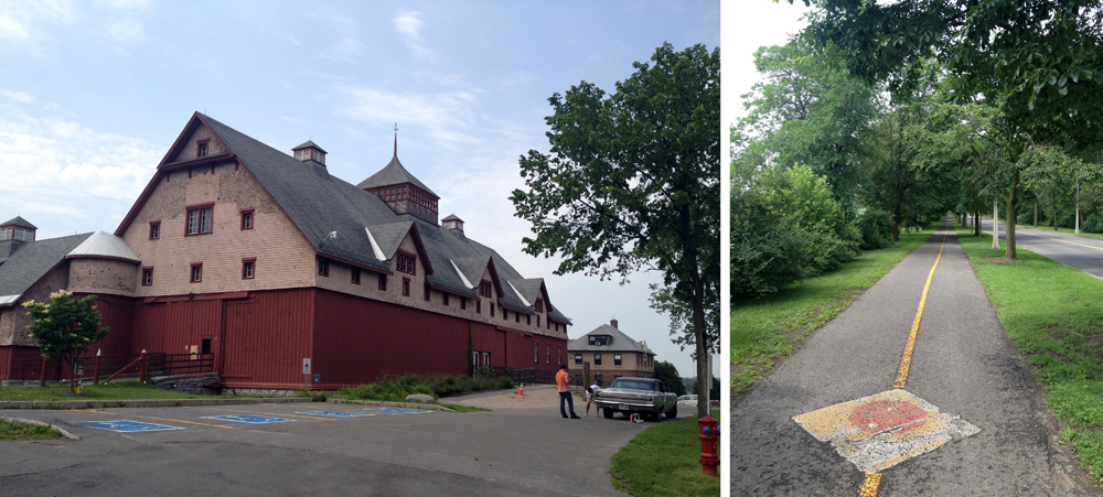
Next turn will be onto the K&P Trail which crosses Bell Line Road. There isn’t a sign indicating where the trail crosses Bell Line Road. Here’s what the intersection looks like.

K&P Trail crossing
K&P Trail crossing

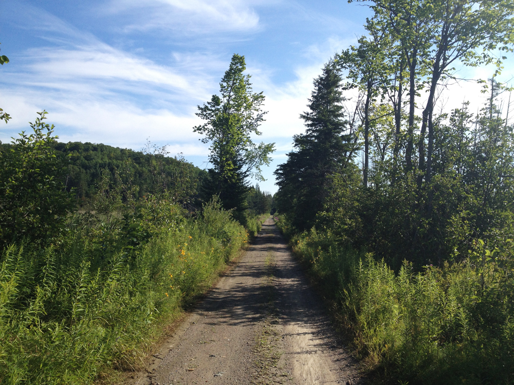
The trail is mostly packed dirt and gravel, like so.

K&P Trail
K&P Trail

However there are a couple of short stretches where they’ve put down some stones for draining which may require dismounting and walking your bike.

Stones along short section of K&P Trail

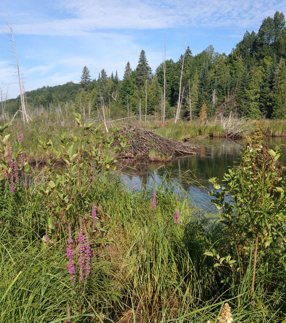
There’s a beaver house just off the trail along one of these stretches.

Beaver hut
Beaver hut

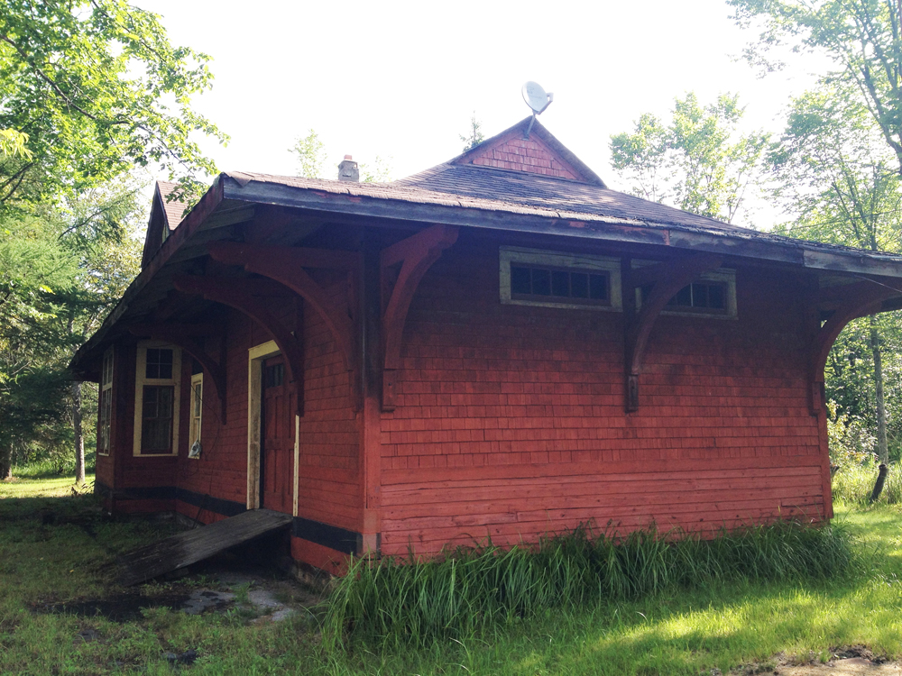
The trail crosses Clarendon Road, which you will know you’ve reached by the abandoned station house on the opposite side of the road.

Clarendon Train Station

Follow Clarendon Road for a short bit to get to the entrance of the festival site. It’s hilly and narrow so watch out for cars heading to the festival.

Et voila! Time for Blue Skies.

Mika jamming at Blue Skies
Mika jamming with friends

Chunks of Old Buildings – round 2

Last November I posted a tour of various architectural ruins that have been selectively placed throughout the city. Since then I’ve discovered a few others so I came up with this second route which I tested out this morning.

First stop on the tour is this sculpture titled Enfin le soleil, located in the Gatineau community of Jardins Taché. It is a piece commemorating a legal struggle in the 1970’s pitting the Association des propriétaires des Jardins Taché against the development of a high-rise that was constructed despite not meeting zoning requirements. The Association des propriétaires persevered and the building was demolished. Two sections of reinforced concrete were recuperated from the demolition and incorporated into this piece.

Enfin le soleil
Enfin le soleil

Second stop is a short distance down river just off the Sentier des Voyageurs. They are steel pipes from an EB Eddy facility, recovered in 1977 during construction of a nearby park and arranged within the landscape as reminders of the area’s industrial past.

EB Eddy Pipes
EB Eddy Pipes

Third stop is Strathcona’s Folly, a play structure created in 1992 by artist Stephen Brathwaite, located in Strathcona Park along the Rideau River. It incorporates architectural details from a number of heritage buildings throughout Ottawa, as described on a bronze plaque mounted within the piece.

Strathcona's Folly
Strathcona’s Folly

And finally, this Gothic Revivalist detail sits on the grass behind the Confederation Building, just to the west of Parliament Hill. There used to be a few others lying about with gargoyle motifs but I didn’t notice them on this occasion.

Gothic Revivalist detail

So there you have it – a few more strategically placed architectural remains commemorating the past within our ever changing built environments.

First Nations – Part II

On January 2nd I described a tour of various locations and monuments within the National Capital Region that are of particular significance or reference to the First Nations. Since then I have learnt of a few others, including one that eluded me on the first tour – the bronze sculpture of an Anishinabe Scout. Here is the route I followed to visit these additional locations.

First stop, 299 Montreal Road where stands the recently completed Wabano Centre for Aboriginal Health, designed by architect Douglas Cardinal who also designed the Canadian Museum of History in Gatineau.

Wabano Centre
Wabano Centre

Second stop is the sculpture of the Anishinabe Scout at the northern tip of Majors Hill Park, tucked behind the small heritage stone building. The first image also shows the statue of Champlain in the distance up on Nepean Point. The sculpture was originally installed at the base of the plinth upon which Champlain stands but was relocated to its present site in 1996 at the request of Ovide Mercredi, former National Chief of the Assembly of First Nations. UPDATE: December 2018 – Just discovered a very good mini-doc on the history of this sculpture.

Anishinabe Scout & Champlain
Anishinabe Scout
Anishinabe Scout

My final stop was along the Ottawa River Pathway, just east of Island Park Drive where this recently installed circular arrangement of stones is located. It is titled the Kitchissippi Medecine Wheel and is the work a fellow named Tim. UPDATE – Summer 2015: The installation is no longer there, but it’s still a great spot to visit, overlooking the Ottawa River.

Kitchissippi Medecine Wheel

This description of the piece is mounted to a wooden post just to the right of the wheel.

Kitchissippi Medecine Wheel interp

Bike commute to Briargreen

Briargreen is a small community within Nepean built in the 1960’s which has been described as a ‘snapshot’ of mid-century architecture in Ottawa. Those who live there are fortunate to have two fabulous bike commute routes into town that are almost entirely along bike paths. Here they are. The blue line is the route I followed from Centretown to get there. Purple line is the alternate route.

Blue route first – Centretown to Briargreen. Cutting through the Experimental Farm is a bit tricky these days while they are doing construction work along Cow Lane, so I followed the pathway along the NCC Scenic Driveway, then turned onto the gravel path through the small section of woods that runs parallel to Fisher. UPDATE Summer 2014: The path along Cow Lane is all fixed up (see red line on map) which permits avoiding riding along the speediest section of the NCC Scenic Drive.

Wooded path parallel to Fisher

This brings you to the Experimental Farm Pathway which is presently being dug up as well just east of Fisher Avenue, but fear not. You can follow this very well trodden path on the right to Fisher.

Link from wooded path to Fisher Ave

Cross Fisher to Kent Street and weave your way to Kingston St. There is a path where Kingston crosses Hollington Ave that gets you back on to the Experimental Farm Pathway. One thing I love about this and many other sections of the recreational paths is how they look onto people’s backyards where the landscaping tends to be more relaxed and personal, like this garden being guarded by an interesting scarecrow.

Scare-everything!
Scare-everything!

Follow the Experimental Farm Pathway until Woodroffe Avenue, and cross to where it becomes the Pinecrest Creek Pathway. Follow along until you come to a turn off that takes you across the bus transitway. Take this turnoff.

Now things get a little tricky just south of Baseline Road where the path jogs around an OC Transpo parking lot. This jog in the path is confusing because it opens up to a huge parking lot with no directional signs to help you distinguish what is parking vs road vs sidewalk vs pathway. While trying to figure this out I noticed most folks don’t bother with this mini detour and just ride infront of the bus parking rather than go around, as shown here and indicated by the short pink line on the above map (zoom in).

You can go that-away.... or that-away!
You can go that-away…. or that-away!

If you do take the path, versus cutting in front of the OC Transpo parking, the photo below shows where it turns once beyond the bus parking.

Direction of path around Baseline bus stop
Direction of path south of the Baseline bus stop

Continue along the path until you come to this turn off which will bring you to Summerwalk Place Lane.

Path link towards Summerwalk Place Lane

Weave your way to Centrepoint Drive, and cross over to Marble Arch Crescent. Follow Marble Arch Crescent until it elbows south. There on the right you will notice this short path link which will takes you right through to Briargreen!

Path link from Marble Arch Crescent into Briarcliffe

Here’s a well preserved mid-century modern dwelling that caught my eye.

Mid century modern in Briarcliffe
Mid century modern in Briargreen

The alternative bike commute (purple line) turns north along Watsons Creek Pathway where it joins the Ottawa River Pathway. It’s slightly longer but very scenic with fewer roads to cross. If you are gonig downtown continue along the Ottawa River Pathway. If you are coming into town via the blue line route continue along the pathway that runs along the canal from Dow’s Lake.

On that note, if anyone requires info on a safe bike commute from, or to any specific location within Ottawa or Gatineau please text me below and I would be pleased to try and help out.

Happy commuting!

Biking to Trailer Pork Boys from Centretown

UPDATE 2017: It seems Trailer Pork Boys has been closed since 2014, but I’ll leave this post up for nostalgia, or for anyone needing directions for a destination within the same area.

Now why, you may ask, why would I suggest a bike route to a food truck located in a big parking lot at the very busy traffic corner of Carling and Merivale? Well I probably never would have, until I read on Twittersphere how one of the Trailer Pork Boys caught someone on a stolen bike belonging to one of his buddies at Tall Tree Cycles. I’m fond of Tall Tree after they gave me great advice on a bike for my daughter and my Brooks saddle, but I was most impressed with the bike salvaging heroics displayed by the quick thinking Pork Boy. But the clincher were these great reviews on Foodies. Now I REALLY had a hankerin’ fer a pulled pork sandwich! But how to bike there safely from Centretown? Well, here’s how. Blue line’s how I got there, orange line was my ride back.

The route there is a bit circuitous, but pulled pork sandwich is a meal you have to earn! Follow the O-Train bike path to Prince of Wales Drive, then cut through the parking lot in front of this rapidly disappearing big Sir John Carling Building  They are in the process of tearing it down. UPDATE 2017: They blew up the building and ripped up the parking lot, but there’s a desire line path short cut through the grass you can take in place.

Big building coming down

The short cut avoiding Prince of Wales to the National Capital Commission Scenic Driveway goes past the historic William Saunders building and the Experimental Farm heritage greenhouses.

William Saunders Building and Greenhouses

There is a bike path with lots of shady trees running along the NCC Scenic Driveway, starting just beyond the big red barn.

Big Red Barn............... and Shady Path
Big Red Barn………………………….and Shady Path

Cross Fisher Avenue and weave your way through quiet residential streets as shown on the map, which will bring you to Merivale Road right across the street from our destination, the Trailer Pork Boys!

Trailer Pork Boys
Trailer Pork Boys

I arrived just before they open at 11:30. There were a couple of people ahead of me, so I had time to relax a bit at one of their parasol’d pic-nic tables and take in the scenery, such as this elegant old Ottawa Hydro-Electric Sub Station no. 3 across Carling Avenue, juxtaposed beside the hyper functional electro wire and truss infrastructure.

Ottawa Electric Sub Station No. 3

And this is the pulled pork sandwich I had for lunch. Very yummy indeed. You will need to take advantage of the roll of paper towels provided at the pic nic table. The pulled pork poutine looked very scrumptious too but I’d have to come up with a much longer bike route to earn one of those.

Pulled Pork Sandwich

Another more direct route to the Trailer Pork Boys, as indicated by the orange line on the map, is mostly the way recommended by our pulled-pork-chef-and-swiped-bike-spotter par excellence, which he rides to work from his home in Hintonburg.

There is a bike lane along Merivale north of Carling, but it disappears just before going under the Queensway, so rather than stick to Merivale I cut through the Royal Ottawa Mental Health Hospital parking lot. A few curbs to hop if you do. Tricky call. I would probably continue along Merivale, as our biker-chef most likely does, if the traffic was light. Either way will take you to Island Park Drive.

Merivale bike lane disapearing as it goes under the Queensway

I’ve always felt comfortable riding on the bike lanes along Island Park Drive regardless of the time of day.

Bike lane along Island Park Drive

Island Park eventually crosses the bike path along Byron which I followed home in the manner described in this post.

So, I highly recommend the Trailer Pork Boys for their great food AND their love of bikes!

40 km Bike Loop to Aylmer, Almost Entirely Along Pathways

Here’s a good early morning loop to Aylmer and back.

.
Every time I see a biker heading over the Pont de la Chaudière I cringe in fear for their safety due to the speeding traffic and limited space. However at 5:30 am it isn’t so bad. It also affords the only view of the Chaudière Falls, an amazing natural formation hidden from all other vantage points by an assortment of crumbling industries.
UPDATE- Summer 2015: The industrial buildings surrounding the falls have been sold to a developer. Plans include providing public access to the site with views onto the Chaudière Falls. See 30 second mark into this promo video.

Chaudière Falls
Chaudière Falls

The Voyageurs Pathway mostly twists and turns along the rivers edge like so, all the way to Aylmer.

Voyageurs Pathway
Voyageurs Pathway

There are a number of clearings along the way where you can pause and ponder the majestic Ottawa River, such as this spot looking out upon the foundations of long abandoned mills.

View out over the Ottawa River

This pathway bridge floats above a boggy stretch.

Pathway bridge
Pathway bridge

In the Spring there are a few spots along the path that risk being a bit waterlogged, but they usually can be negotiated along short impromptu desire lines.

The path veers away from the river on the outskirts of Aylmer and continues straight through towards the centre of town.

Heading into Aylmer
Heading into Aylmer

Once in Aylmer I cut north along Front Street to check out these two heritage buildings, the Symmes House and the Parker House, both described on this web site.

Symmes House
Symmes House
Parker House
Parker House

I continued north along Front street to join the Pionneers Pathway. Beyond the two buildings previously mentioned, Front Street is pretty boring, filled with lots of traffic, so after you’ve checked out the two heritage buildings I recommend getting back on the Voyageurs Pathway and continuing around through Parc des Cèdres, as I’ve hi-lited in orange on the above map.

The Pionneer Path follows along the Boulevard des Allumeteries most of the way. It’s more of a commuter route than the Voyageurs Pathway, but still a very pleasant ride.

Pionneers Pathway
Pionneers Pathway

Eventually it veers south through a mixed area of woods and houses and gets a bit confusing as it twists and turns southward. Fear not, it eventually intersects Boulevard des Trembles and its bike path that runs directly east across Boulevard St-Raymond.

Once beyond Boulevard Saint Raymond the path becomes the Moore Farm Estate Pathway. It’s a stone dust path that heads south through this heritage farm. There are a few well preserved old farm buildings on the estate including this fabulous barn.

Old barn
Old barn

Looks like someone has torn off a small piece of barn board to look in.

Side of barn
Side of barn

And this is what they saw.

Inside barn
Inside barn

The Moore Farm Estate Pathway ends at Boulevard Alexandre-Taché, which I qualify as one of the worst roads to bike along in the region, however one need only follow it for a very short distance before cutting through the STO Park-and-Ride parking lot to Boulevard Lucerne. This is a quiet street which brings you to Moussette Park and then on to the Voyageurs Pathway for the ride back in to Ottawa. Rather than crossing back over the Chaudière Bridge, follow the path to and over the Portage Bridge.

Et voila!

La Côte d’Azure à la Gatineau

The Côte d’Azure, or French Riviera, is a beautiful hilly region overlooking the Mediterranean sea. There is an area of La Ville de Gatineau with streets named after popular spots along the Côte d’Azure (Rue de Cannes, Rue de Monte Carlo, Rue de Roquebrune, etc). It’s hilly too, and looks out over its own body of water, the Gatineau River. That’s where the similarities end. It’s a fine residential area of Gatineau to bike through. You can do a little bit of switch back climbing while taking in a few interesting house designs.

To get there I biked along Boulevard St Joseph, which isn’t too bad at 6:30 am, but I suggest the much more pleasant route hi-lited in green. Mostly along bike paths, it follows Boulevard de la Carriere for a bit, as a section of the Gatineau River Pathway is closed this summer for rapid transit construction.

Here’s an interesting house I spotted on the Gatineau Riviera.

Try to find the front door...
Try to spot the front door…

I followed this short path at the top of the hill through Parc Saint-Exupéry, named after the author of Le Petit Prince.

Parc Saint-Exupéry
Parc Saint-Exupéry

Here’s another interesting house looking out across to the Gatineau hills.

House along the Gatineau Riviera

The path along the Ottawa River just west of the Lady Aberdeen Bridge is partially flooded out, but there’s a beaten path you can follow to get around it. The rest is clear sailing.

Spring flooding
Spring flooding

Carson Grove

Carson Grove is a small community defined by a traffic moat – Aviation Parkway to the West, Ogilvie Road to the south, Bathgate Drive to the east and Montreal Road to the north. It’s relatively new, only 7% of the homes having been built before 1960 with a surge of single detached homes built in the 70’s and 90’s. La Cité Collegiale Ottawa campus divides the community in two, north & south. There were a bunch of streets in the southern section I had yet to discover, so early Tuesday morning I went and and checked them out. Blue line’s how I got there, green line’s how I got back, and orange line is a recommended alternate route through Vanier to avoid Montreal Road west of St Laurent (impatient commuter traffic, no shoulders, and very bumpy, particularly around the potholes surrounding drainage covers).

The southern portion I biked through is a residential subdivision mostly built up in the 70’s, one of the many Campeau developments scattered around the city from that period. Campeau offered a bit of variety in plans homeowners could choose from. Along with the slightly varied mix of period house designs, many types of trees were planted on front lawns which have matured over the years. The streets aren’t confined to an overly strict grid, allowing for a pleasant meander.

So, Carson Grove – nice place to visit. Still don’t know out who Carson was or if there ever was a grove. All and any leads are welcome.

Long shadows on Carson Grove

Rich Little Drive

Rich Little is an Ottawa born impersonator who made it big on American TV in the 60’s and 70’s. He now lives in Vegas where he has been performing in his one man play Jimmy Stewart & Friends. There’s a street named in his honour close to the Ottawa Hunt and Golf Club so I went for a ride and checked it out. Blue line is how I got there, green is my route back, orange hi-lites are sections that are a bit treacherous to bike along.

Riverside Drive south of Walkley has raised paved shoulders separate from the sidewalk, like so.

Raised paved shoulder along Riverside Drive
Raised Paved Shoulders, or Bike Path Wannabes

There are sections where these paved shoulders disappear, as I’ve hi-lited in orange on the above map. These are Biker Beware zones, i.e. four lanes, fast cars, and minimal shoulder space.

Rich Little Drive is a pleasant little street, lined with houses all very generous in proportion to their lots. The street must have been developed at a time when multiple garages were a coveted feature, judging by the predominance they occupy in all of the front elevations.

Houses along Rich Little Drive

A bit further east along Fox Hunt Ave this very well preserved Sea Ranch style house stands apart.

Sea Ranch Style
Sea Ranch Style

All of the paved paths were clear of snow including these along Mooney’s Bay. Yeah Spring!

Path along Mooney's Bay
Path along Mooney’s Bay
Rideau River in the Spring

Cannons in the Capital

As part of North Korea’s escalating rhetoric and bellicose threats to nuke their southern brethren and the U.S., they have set up missile launchers along their east coast. Most pundits believe they are mostly for show. Whether or not the missiles are capable of lift off, their display has certainly captured the world’s attention. Japan has responded by setting up an anti-missile system of their own. All these shows of force had me pondering the many depictions of long barrelled artillery on display throughout our region, so I came up with the following ‘Cannons in the Capital’ bike tour.

By peering through the angled glass wall just off Booth street into the Canadian War Museum you get a good view of this large collection of tanks and armoury.

Looking in to the War Museum

This tank sits just to the north outside the museum, seemingly waiting for an indoor parking spot to open up amongst its peers.

Chaffee Tank
Chaffee Tank

Booth Street Bridge over to Gatineau is under construction, but you can safely make your way across the river by biking down Victoria Island and up over the Portage Bridge.

These two tanks, parked on display outside the Salaberry Armoury at the corner of Boulevard Alexandre-Taché and Boulevard St Joseph, are dedicated to the resident Régiment de Hull.

More tanks
More tanks

I couldn’t find any cannons on Parliament Hill, but they do fire a 21 gun salute on Remembrance Day from the Hill.

The National War Memorial sculpture titled The Response includes this depiction of a WWI gun being pulled through the stone arch by Canadian combatants.

The Response
The Response

Outside Yardley’s Antiques on Bank street these cannons are available for those who wish to purchase their own pieces of old artillery.

Cannons for sale
Cannons for sale

And here’s a blue heron standing in the canal under the Bronson street bridge.

Blue Heron under Bronson

these two replica 9-pounder cannons are stationed on the edge of Dow’s Lake right in front of HMCS Carleton naval reserves.

9 Pounders
9 Pounders

Just around the corner on Prince of Wales sits this more contemporary machine of war.

Outside CFRB Dow's Lake
Outside CFRB Dow’s Lake

So there you have it. Many depictions of cannons throughout the region to discover.