There is an isolated pond located at the South end of Brewer Park that has been re-connected to the Rideau River. I’ve never ventured over there as I had always assumed it was inaccessible swampland, but recent aerial photos suggest a path circles around the pond, so yesterday I went and checked it out.
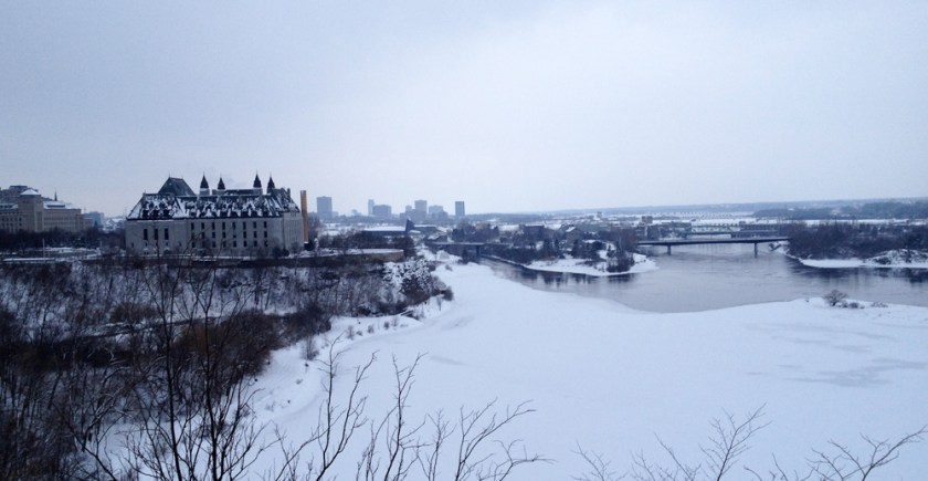
After biking through the Arboretum and pushing my bike over the canal locks at Carleton University, I followed the campus road that runs along the edge of the Rideau River.
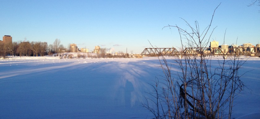
I love this spot along the shore.

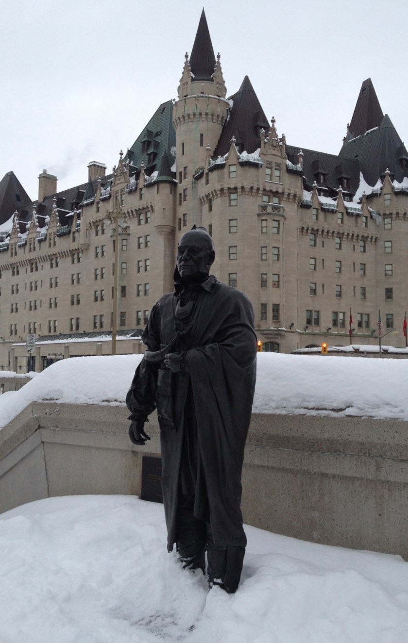
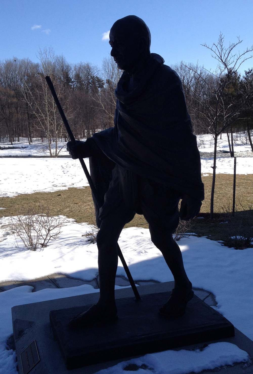
I also came across this statue of Ghandi which had been unveiled by the High Commission of India in 2011.
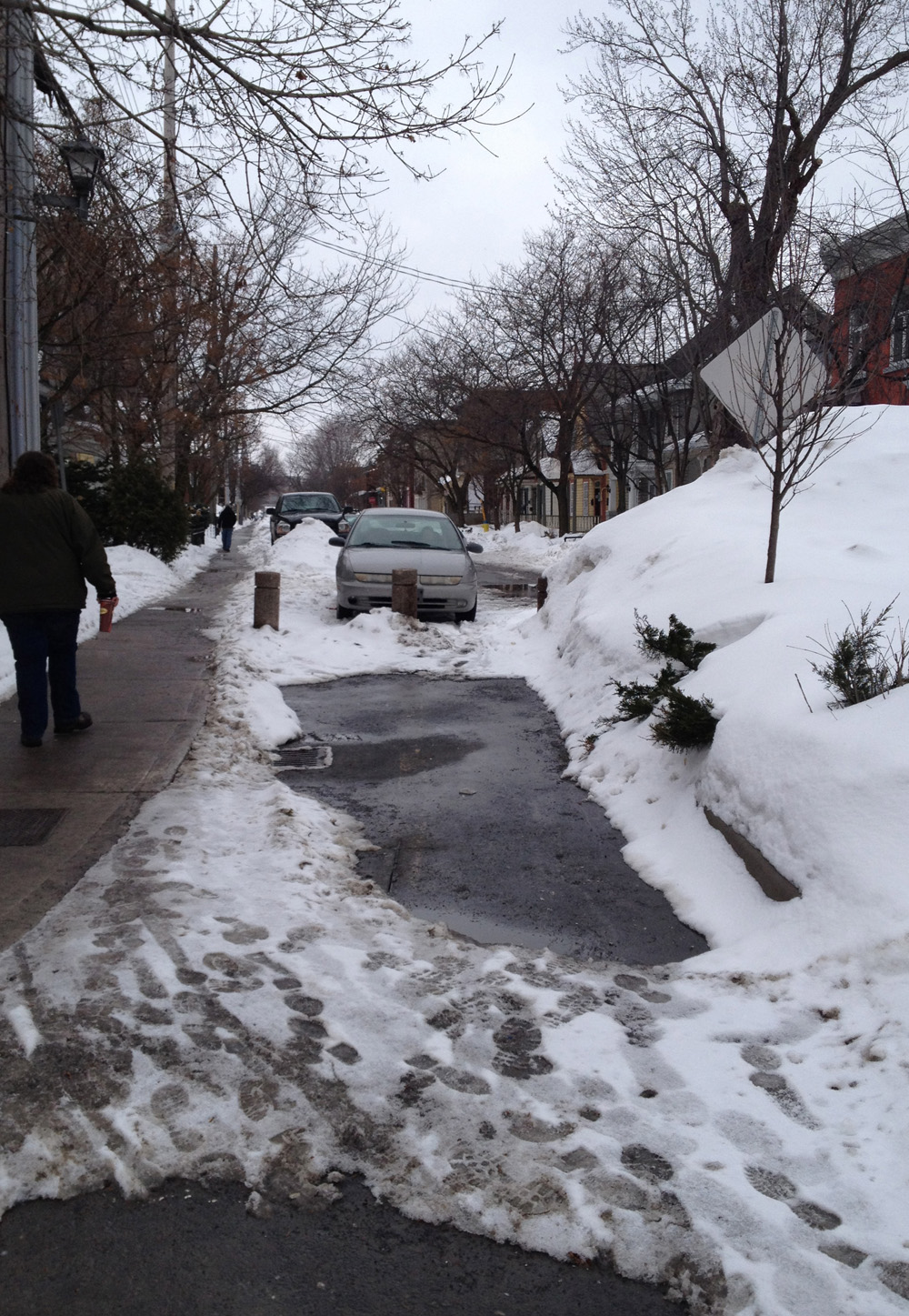
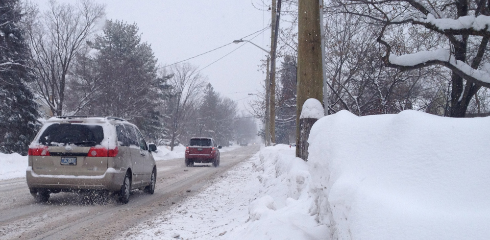
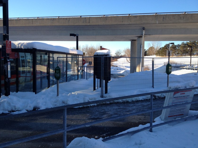
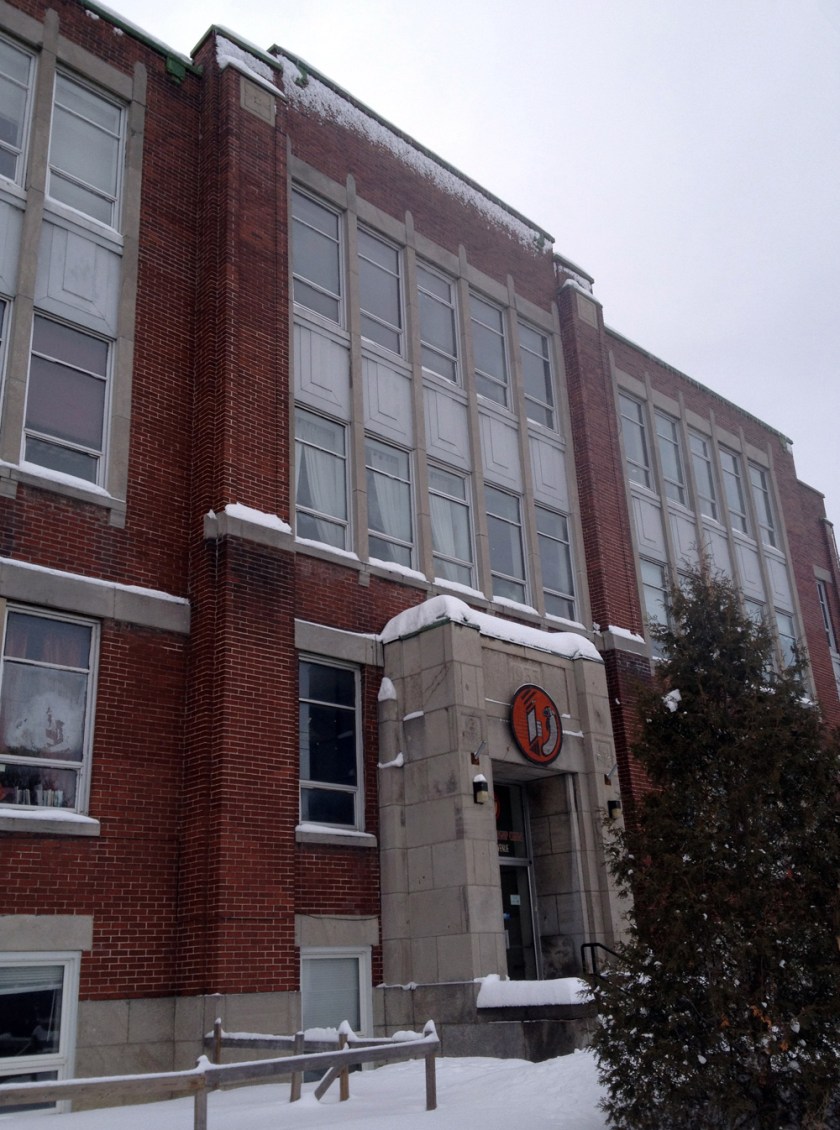
At this point I would like to acknowledge the incredible role dog walkers play in making many snowy paths throughout the city accessible to bicyclists. This winter I’ve come to realise that off-leash dog parks in particular have fine packed paths. This has been the case all winter through the arboretum and, as I discovered on this adventure, along the path from Carleton U under Bronson Avenue and around Brewer Park Pond. The path begins where University Drive turns away from the river.

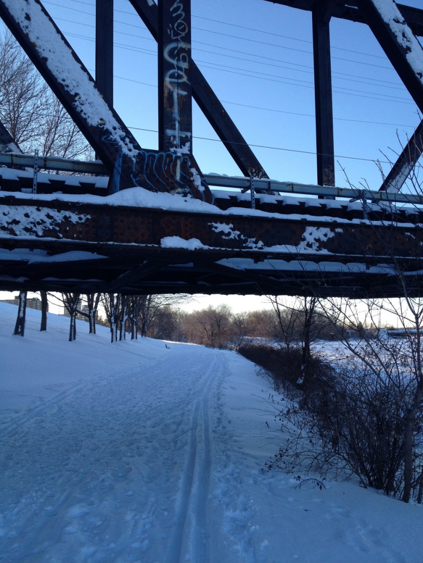
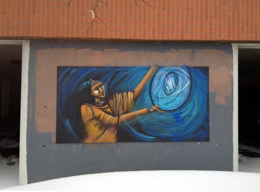
The path continues over a little wooden bridge before arriving under Bronson, where you are treated to THIS!!

And that’s just 1/4 of the paintings which surround you when you are under the bridge. This is where the annual House of Paint festival is held each summer, although the graffiti changes on a much more regular basis.
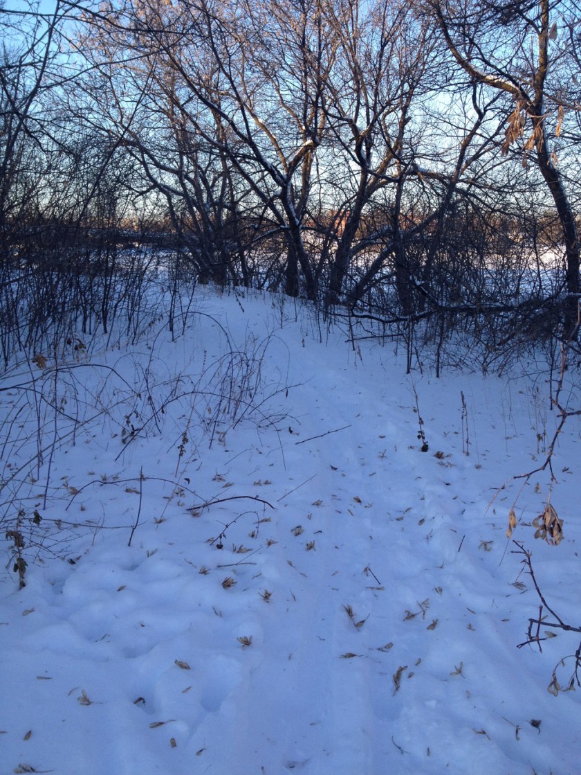
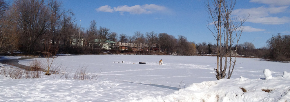
The path continues along the shore and Brewer Pond appears on your left, like so.

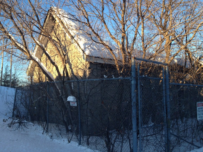
The pond was formed in the 60’s to create a closed in beach and swimming area. The building up on stilts in the distance was the canteen. Shortly thereafter enclosed beaches were deemed unhealthy and this one was closed in the 70’s. Now plans are afoot to re-connect the pond to the river.
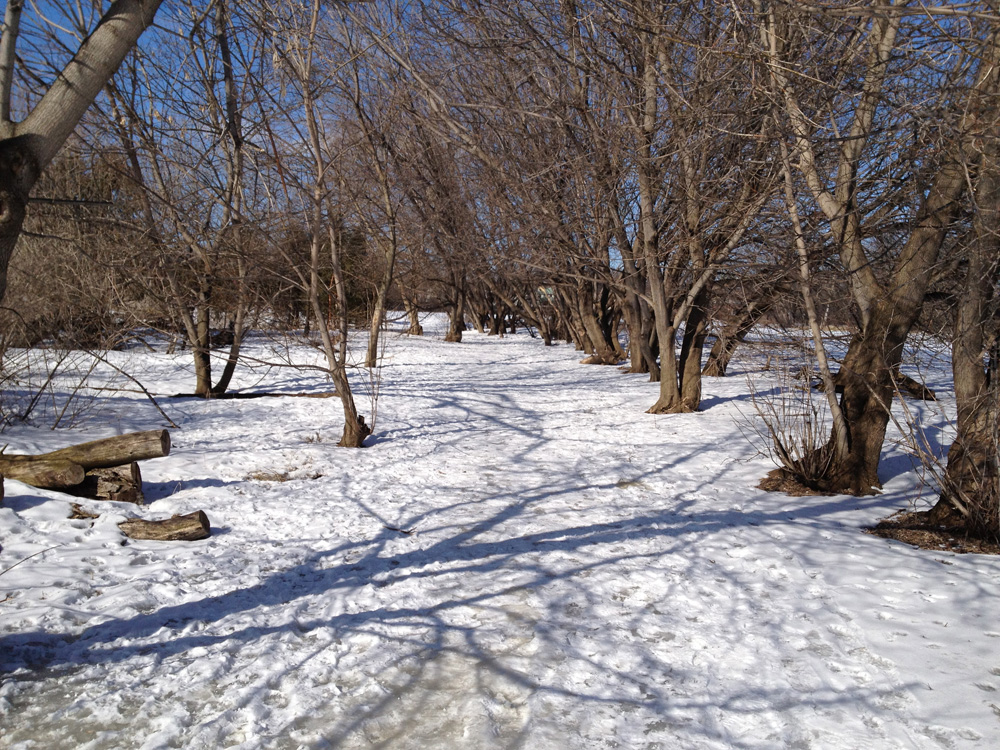
Here’s how a section of the path appears as it circles the pond.
This fellow was out ice fishing on the river, just downstream from the pond.
So there you have it – a fine discovery.
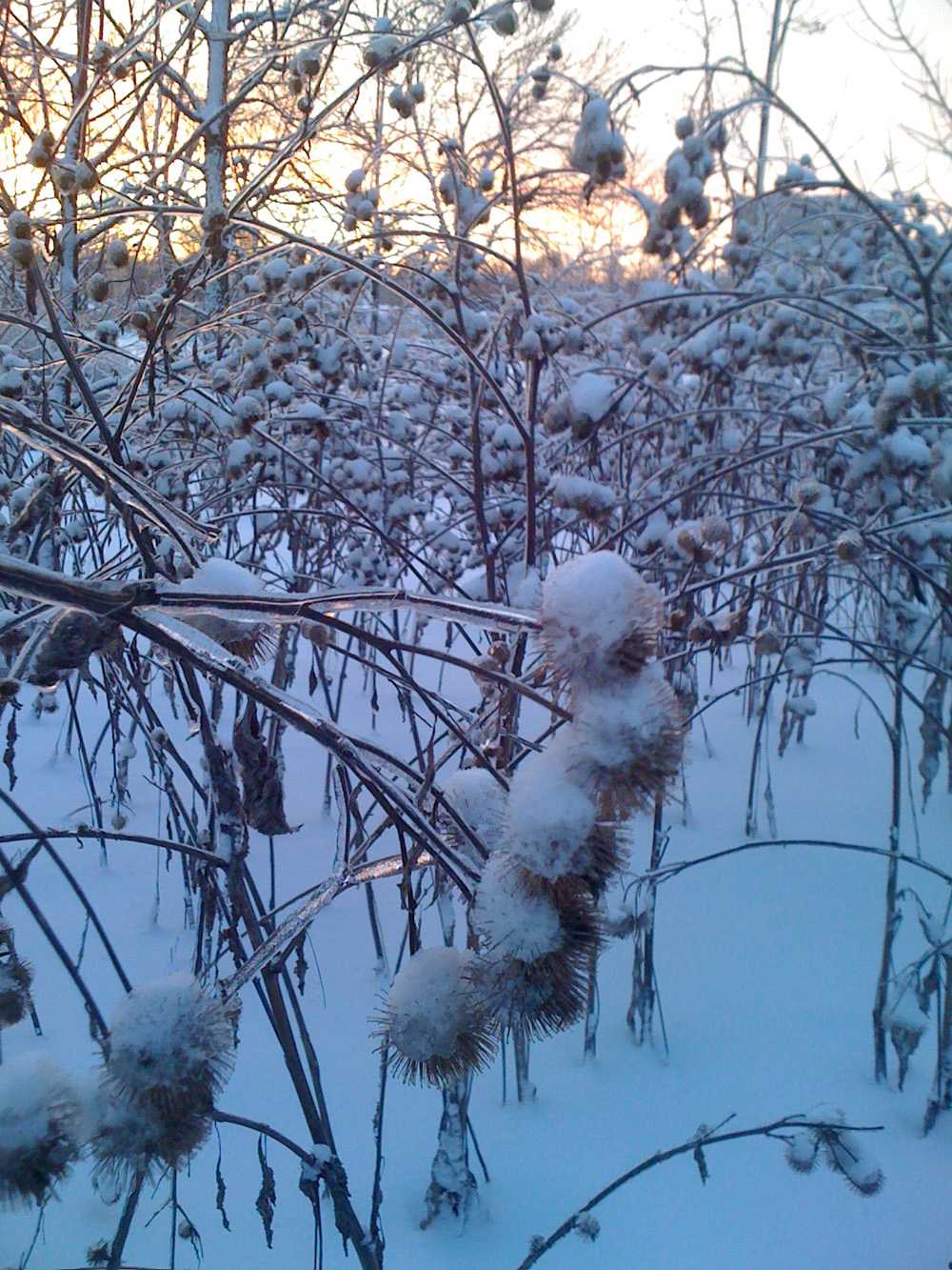
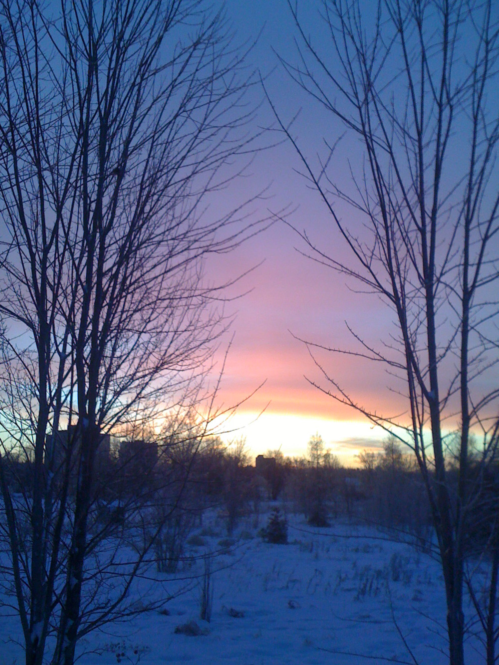
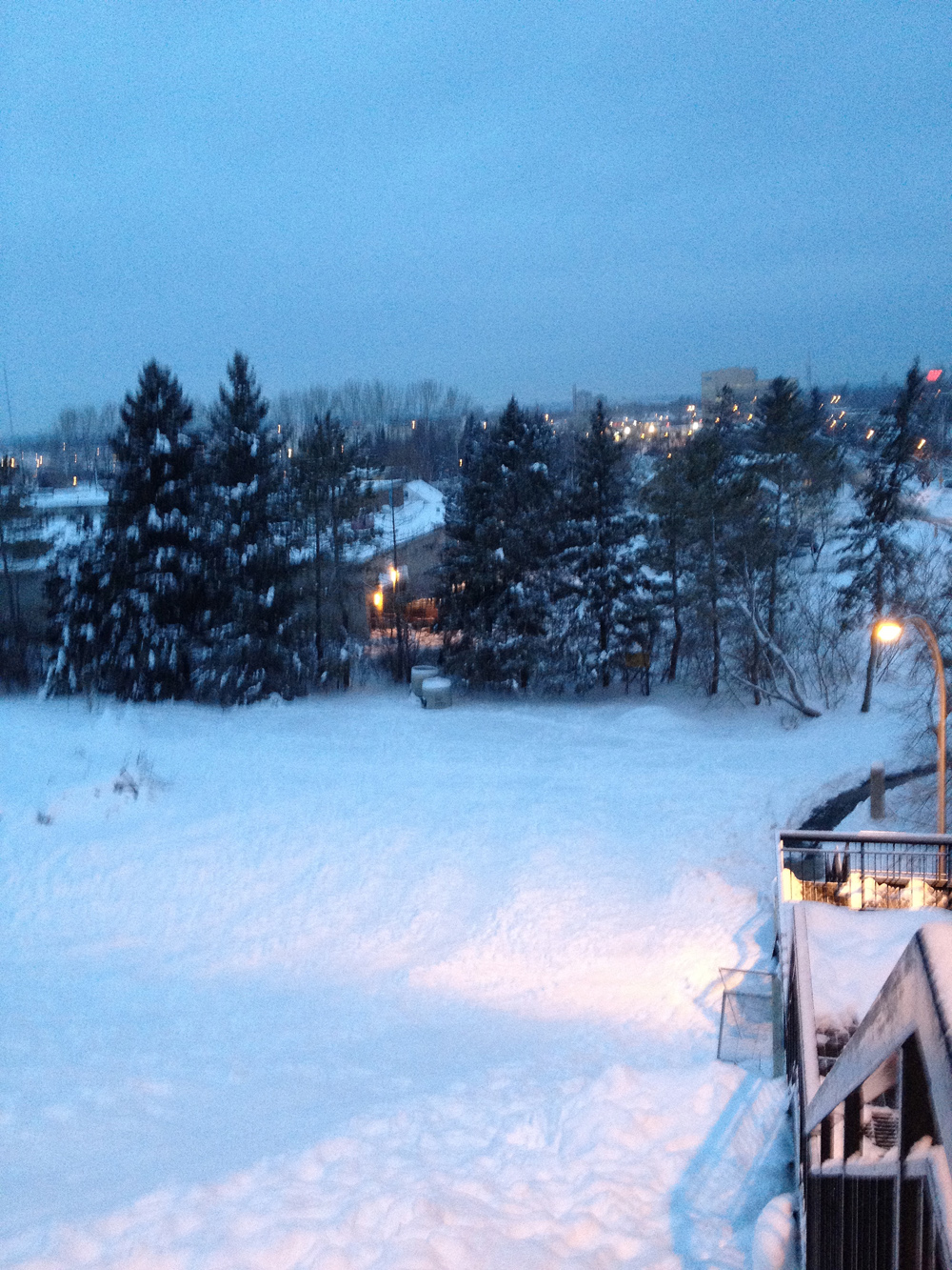
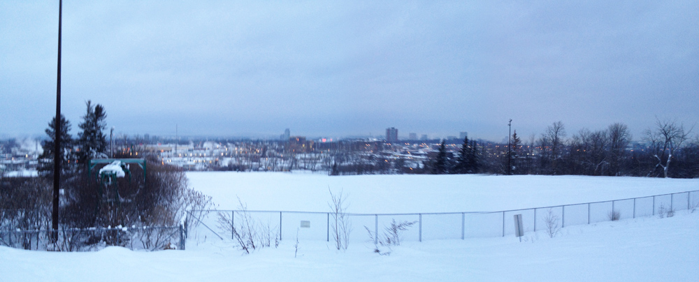
P.S.! Here are a couple of photos Carla took around the pond earlier this winter while Nick had a 7am practice at Brewer Arena.