
The O-Train path isn’t bikeable in the winter, but is it skiable? The other day I went to find out. Blue line shows where I biked to, orange is where I skied. UPDATE – Nov 2014: The path is now being cleared and salted from Young St to the train stop at Albert. Should still be able to ski along the side of the path for most of the distance described below, or just ride to the Albert station and start skiing from there.

I headed south along pre-set tracks. It is possible to access Gladstone, as shown in the image below, however I decided to turn around and head north towards the river after realizing I wasn’t too keen on having to take off my skis to cross a few streets if I was to continue south.

The backs of the Department of Public Works building and City Centre are visible from the trail, suggesting they were designed to cater to the network of trains and tracks which dominated this area not so long ago. UPDATE – April 2015: The DPW building has been knocked down.


To continue along the path beyond the O-Train station at Scott Street requires climbing over two of these short 3-rung fences.
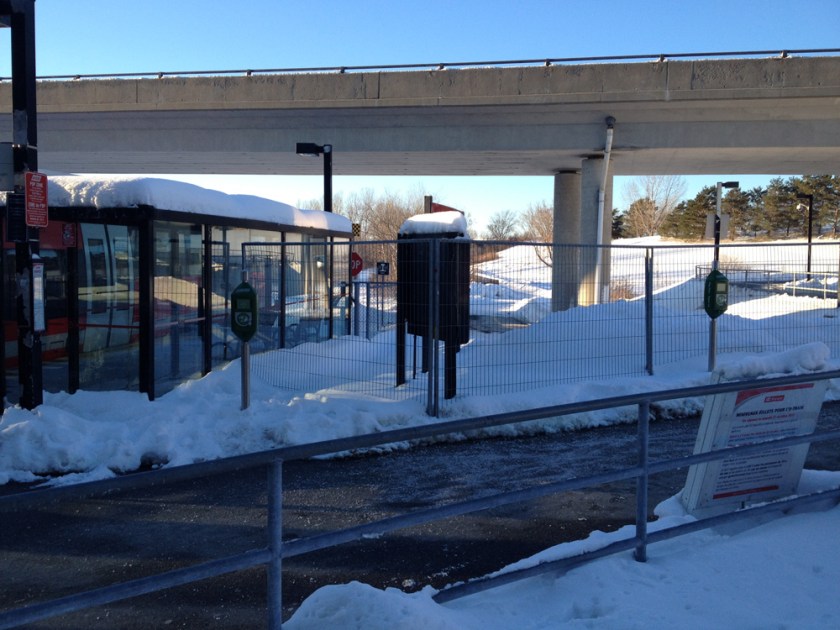
The path from the station to the river is plowed, but not sanded or salted, so pleasantly skiable.

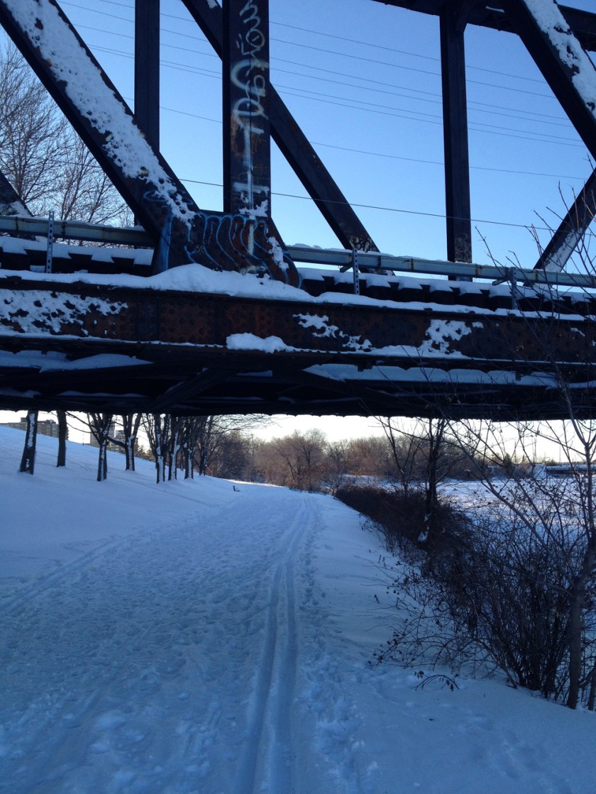
The stamped letters atop the railway bridge across the river reads INCE OF WALES. Strange name, but it could work with a little P.R.

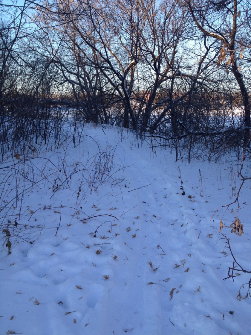
The Ottawa River Pathway had evidence of all sorts of winter loving traffic – snow shoes, ski tracks and a well worn pedestrian path. I followed it west.
At the entrance to Lemieux Island someone had broken trail along the jut of land beside the river, an area I had never explored before.
The ruins of the old Hintonburg Pumphouse are located on the edge of River Street. It was originally built in 1899 but succumbed to fire in 1989.
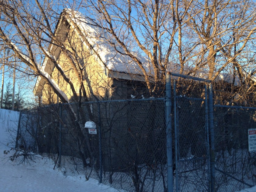
Someone has cut a huge opening in the chain link fencing surrounding the ruins, however I would heed the DANGER – UNSTABLE STRUCTURE signs and stay out, for the building is obviously unsafe as you can see.

I then retraced my strides back to my faithful steed, packed up my skis, and headed home. A wonderful winters outing indeed. 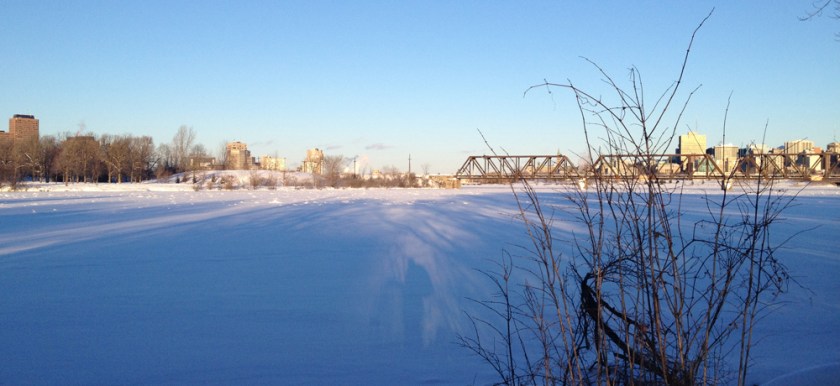

Looks great! Weird that it’s plowed north of the O-Train station but not between that and Gladstone!
It’s on my agenda to add some neat historical info to my blog post on City Centre ( http://centretown.blogspot.ca/2012/04/somerset-street-reconstruction-part-10.html ) and once things thaw in the spring I’ll probably do a post on the pathway construction, to add to the Somerset Reconstruction series that already covers the planning ( http://centretown.blogspot.ca/2012/04/somerset-street-reconstruction-part-11.html ) and construction ( http://centretown.blogspot.ca/2012/04/somerset-street-reconstruction-part-12.html ) of the O-train pathway tunnel.
FYI, after Gladstone, the only other streets you have to cross should be Beech, Carling, and Prince of Wales Drive.
Thanks for your comment. I hope to ski the rest of the trail to Dow’s Lake at a later date, starting from Gladstone.