Here’s a bike commute route that starts at the corner of Blair and Dunham St in the neighbourhood of Cardinal Heights and makes its way downtown to the corner of Laurier and Kent. The purple line is an option that avoids busy Ogilvie Road but does include a few challenging spots of its own that are described lower in the post.

Blair Road is a two lane straight-away with painted bike lanes along both shoulders. I headed south on Blair and turned right on to Ogilvie Road.

Ogilvie Road is a very busy four lane east/west artery with painted bike lanes that traverse a number of shared merging bus stop lanes and extended turning lanes at each major intersection.

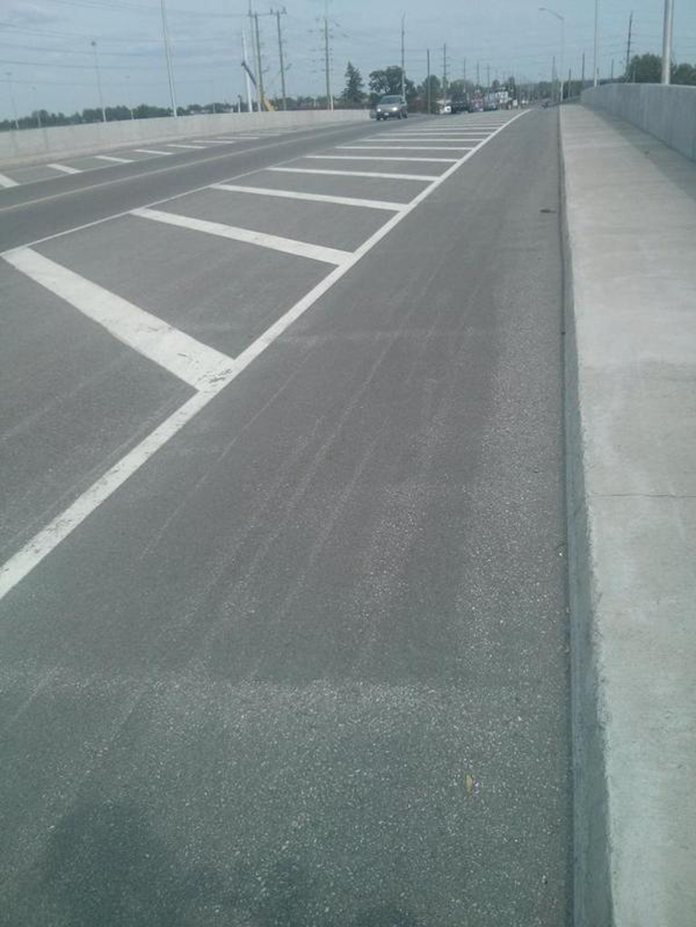
Beyond St Laurent Boulevard the separated bike lane is raised and becomes a two way lane across from the entrance to the St Laurent shopping centre parking. Just beyond the shopping centre I turned right onto a link that leads to Hardy Avenue.

I continued west on quiet Hardy, which morphs into Presland Road, a residential street that many other cyclists follow because of the dedicated cross signal across the Vanier Parkway.

Once across the parkway I continued along Presland Road West then turned right onto North River Road before taking a left onto Prindiville St. Prindiville dead ends for cars but transitions into a link to the Rideau River East pathway.

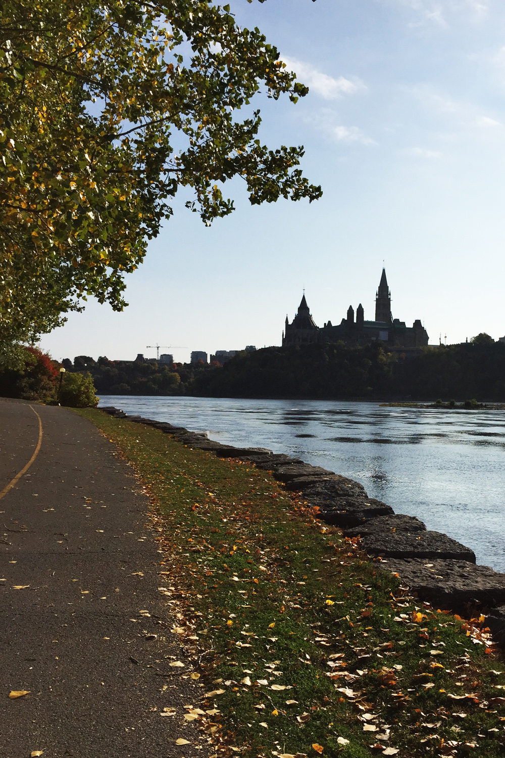
Next it’s up and over the Rideau River along the Adawe bridge.

Then, straight along Somerset East to the University of Ottawa campus. There’s a bit of a hill just before King Edward Avenue.

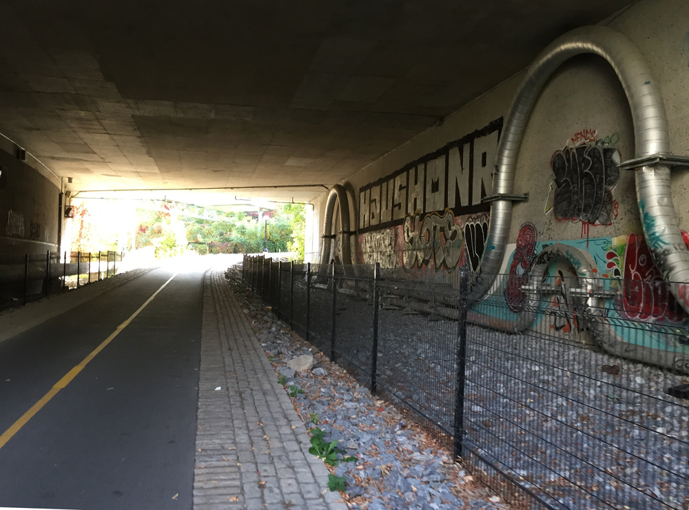
The route continues under Nicholas then across Colonel By Drive at another fine set of dedicated pedestrian/cyclist traffic lights.

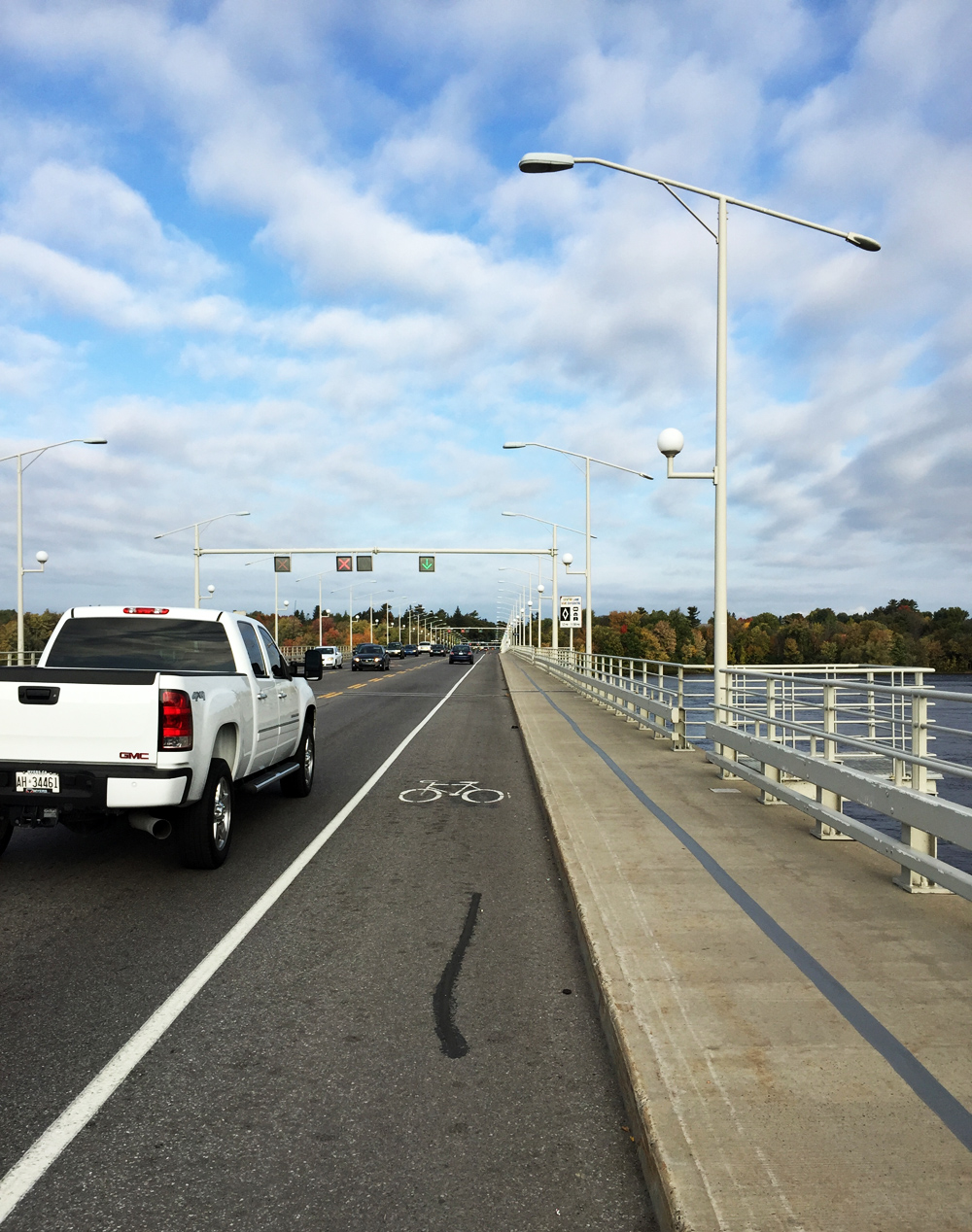
I turned right to get up and over the canal along Corktown bridge.

On the other side of the bridge I turned right on to the Rideau Canal Western Pathway.

After riding under the Laurier bridge I turned left and cut through Confederation Park to get to where the segregated bike lane along Laurier begins at Elgin Street.

I followed the Laurier Bike Lane to our final destination, Laurier and Kent.

OK, more about the purple route. For many cyclists, riding along a four lane major artery road with nothing but painted white lines designating a bike lane, often faded and barely visible, does not feel safe. Particularly at critical vehicule driver decision nodes, such as approaching major intersections where the painted line isn’t a designated lane but a shared transition space. The Ogilvie Road bike lanes fit this description. As such, the route described by the purple line on the above map avoids having to ride down Ogilvie Road. Here is a short description of this option.
We begin once again at the corner of Blair and Dunham St. A short distance north along Blair I cut west through the very calm grounds of the National Research Council and then along quiet roads through the campus of Cité de la Colegiale. Unfortunately at the edge of campus there are no traffic lights to help get across the Aviation Parkway to get to the Aviation Pathway.

A short distance along the Aviation Pathway I followed a short path that went goes through an opening in the fence to access streets heading west. Minor hick – the path can get a little muddy during rainy spells.

I then zig zagged along mostly residential streets to get to St Laurent Boulevard, which were mostly calm, except the couple of blocks along Cummings. Not sure why lots of hurried traffic heads down Cummings. My guess is it is used as a short cut through from Montreal Road to Ogilvie Road.

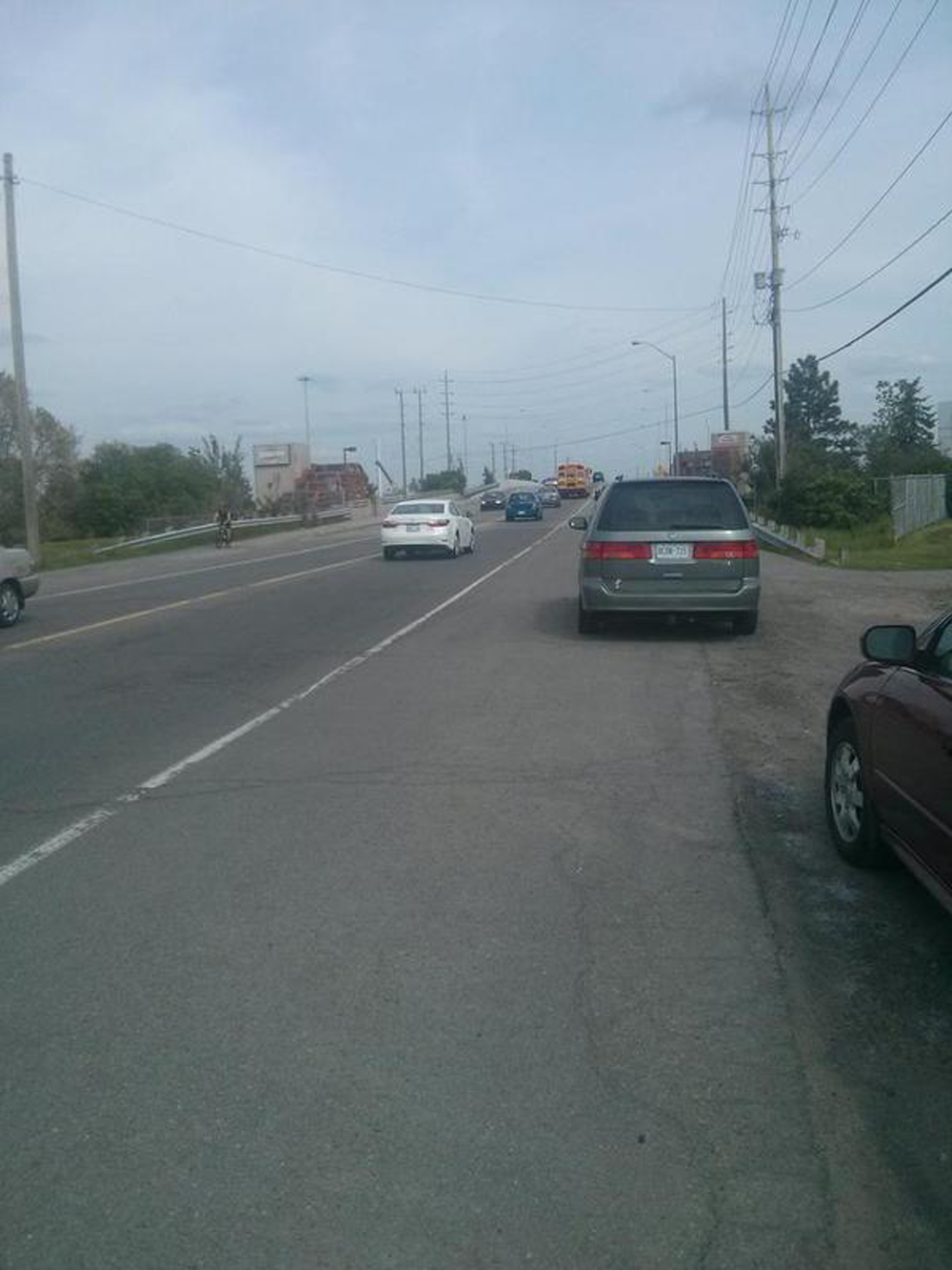
Crossing St Laurent Boulevard along Donald St is pretty lousy. Cars dart out of mall parking lots on either side of Donald just before St Laurent, and rush through the turning lanes on and off St Laurent. At peak traffic periods I would be tempted to walk along the sidewalk from Elaine Drive, across St Laurent to Alesther Street.

Beyond St Laurent the purple route continues along residential streets to link up with the blue route at Hardy Avenue.
In summary, while the purple route manages to avoid Ogilvie Road, it does have a few challenges, particularly crossing St Laurent Boulevard.
Et voila!