Springtime Sunday Ride from Ottawa to Manotick

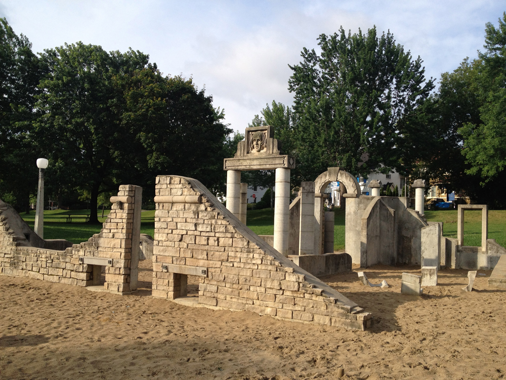
Manotick is a community first settled in the 1830’s located 30 km’s up the Rideau River. This past Sunday I and a group of fine people rode there. It was a great outing. Blue line on the following map shows how we got there. Green lines are variations we took on the return trip. Purple and orange lines are suggested minor deviations to the chosen routes.

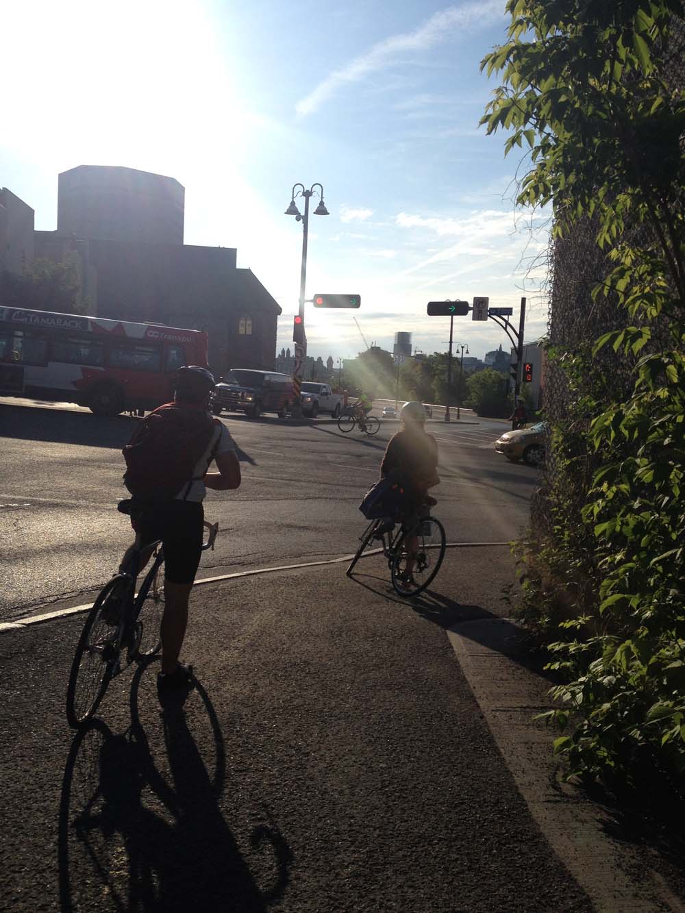
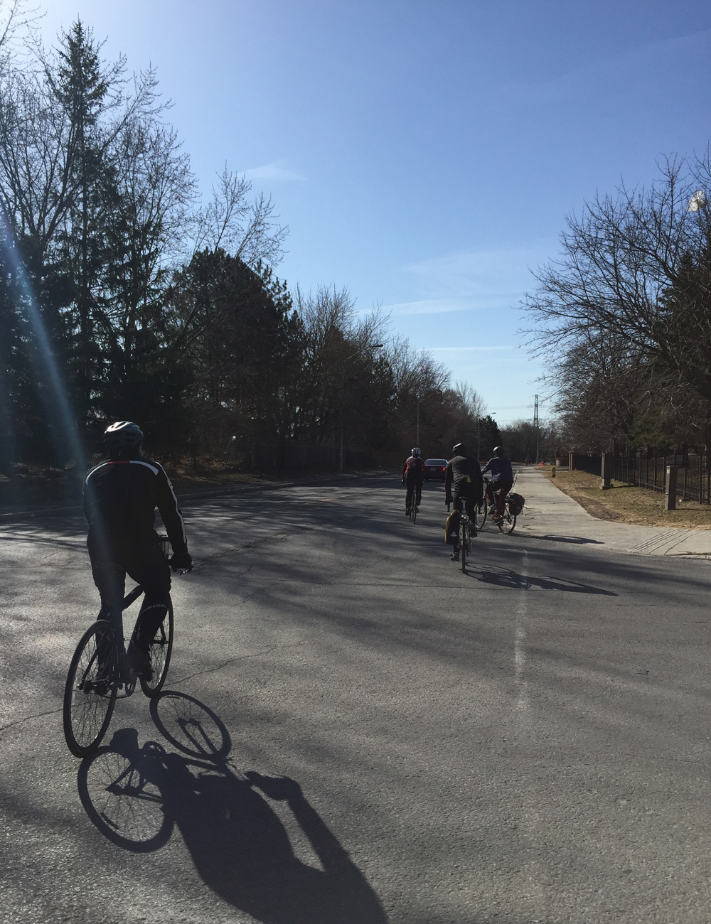
JP and I started off at 8:30 am from the Chinatown Arch in Centretown.

Away we go!
Away we go!

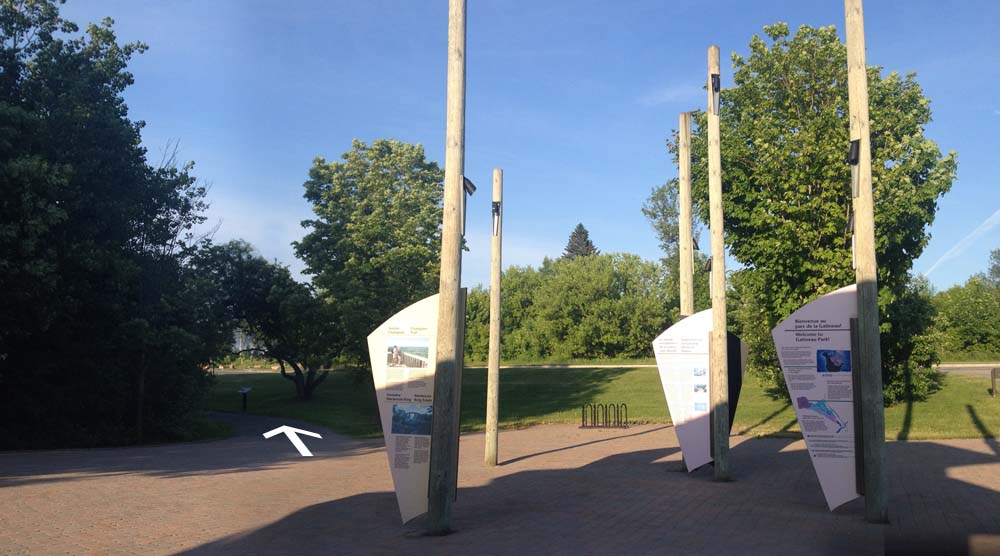
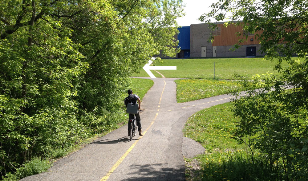
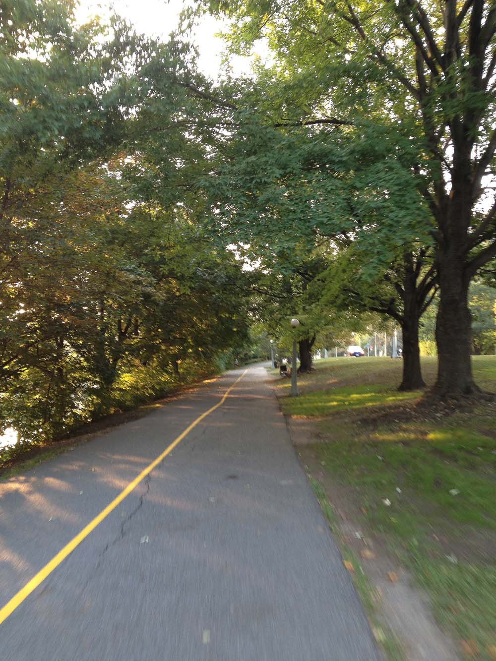
We headed down Somerset to get on the O-Train Path, over to Prince of Wales Drive, and through the farm before joining the Experimental Farm Pathway where we met up with three more riders -Glenn, Heather and Chris. We cut south from the Experimental Farm Pathway through a series of paths and streets to Capilano Drive, a more detailed description of which can be found within a previous post, by clicking here.

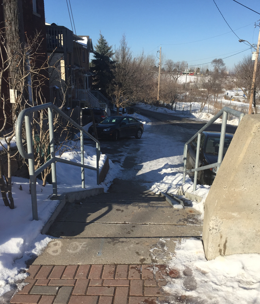
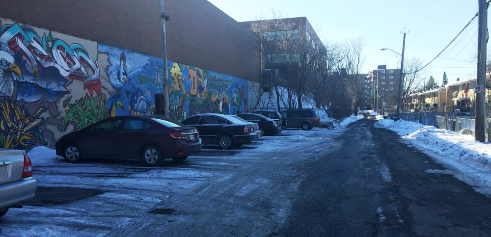
We headed south down Birchwood off of Capilano and continued straight through back ends of  mall parking lots, mostly empty on Sunday mornings.

Link at end of Birchwood to mall parking lots.

To avoid having to ride through the parking lot, there is also the option of taking the path up behind the parking lot, as suggested by the orange line on the above map. This path starts off as gravel before becoming a well trodden desire line that ends at Meadowlands Drive. A hundred meters to the right along Meadowlands takes you to the lights that leads across to Grant Carmen Drive.

path behind Merivale malls
Path behind Merivale malls (May 2017- building is completed)

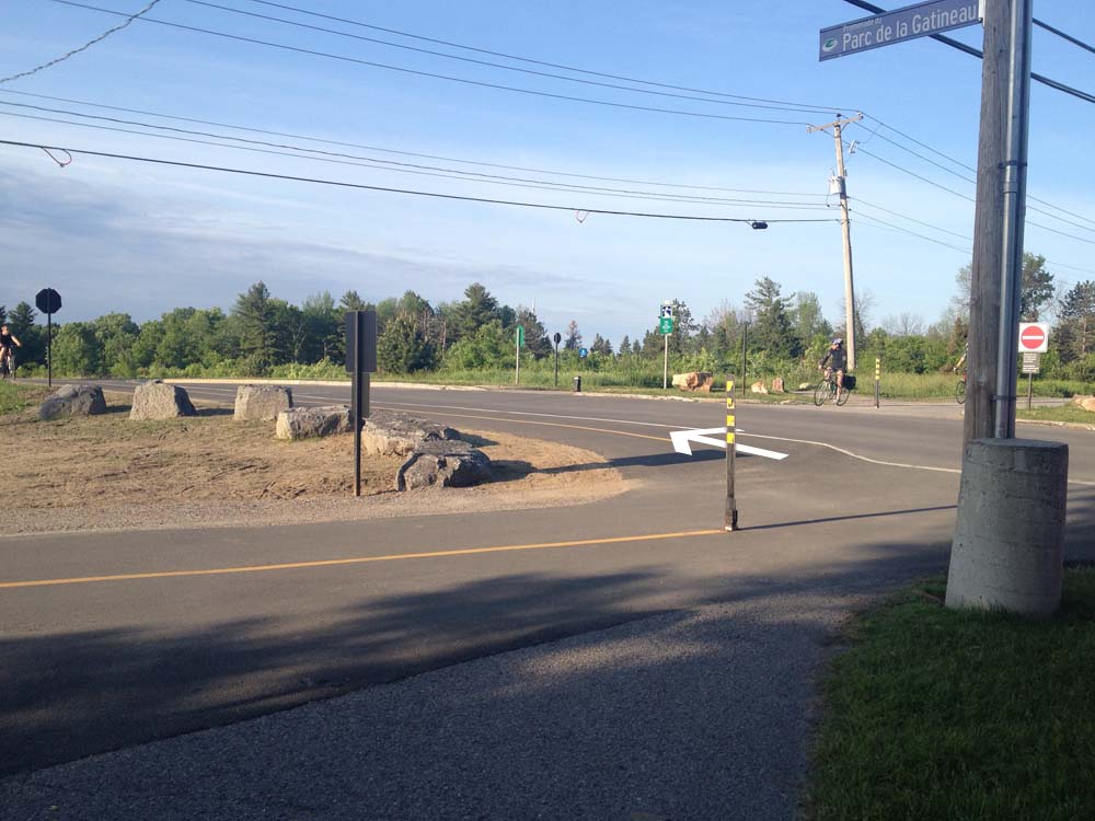
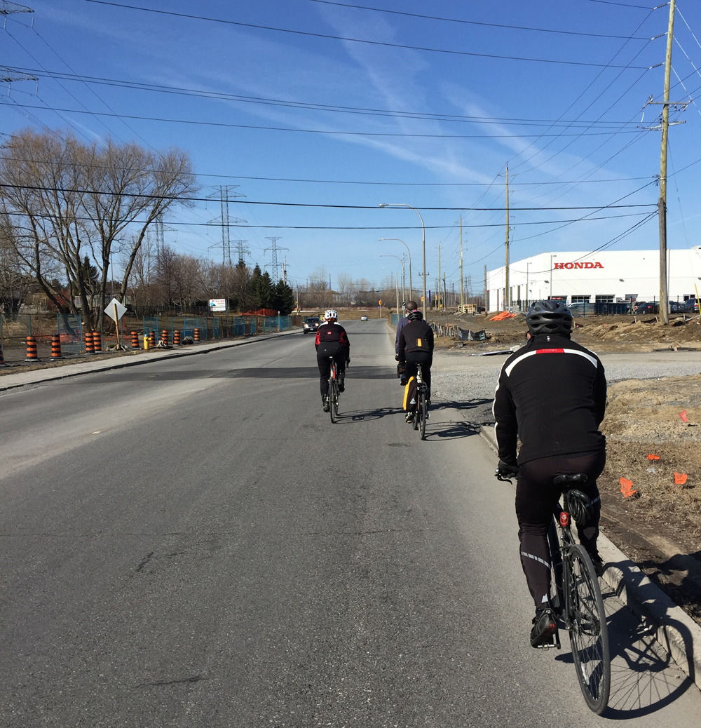
We then kept heading south along Grant Carmen Drive which had very little traffic, all the while avoiding crazy dangerous strip-mall Merivale Road, one block west.

Grant Carmen Drive
Grant Carmen Drive

South of Viewmount Drive the road morphs into a multi-use path that cuts through to Colonnade Road.

Grant Carmen Drive ends, path begins

We rode along Colonnade road to Merivale Road. UPDATE – Fall 2015: A bike lane has been installed along Colonnade Drive between Merivale and the path – a huge improvement to the shoulder less section it once was.

Colonnade Road approaching Merivale Road
Colonnade Road approaching Merivale Road (new bike lane being installed to the right)
July 2015 update - Bike path going in along Colonnade
July 2015 update – Bike path going in along Colonnade

We rode along dreaded Merivale Road to get under the train tracks, however there fortunately is a paved portion between the curb and the sidewalk one may to choose to ride along to get to Woodfield Drive on the other side of the tracks.

Technically a 'Service Strip', Literally a 'Boulevard', Legendarily a 'Kill Strip' 'cause no green can grow there so gets paved
Technically known as a ‘Service Strip’ or ‘Boulevard’, Legendarily called a ‘Kill Strip’ because nothing green is able to grow there, so it gets paved over

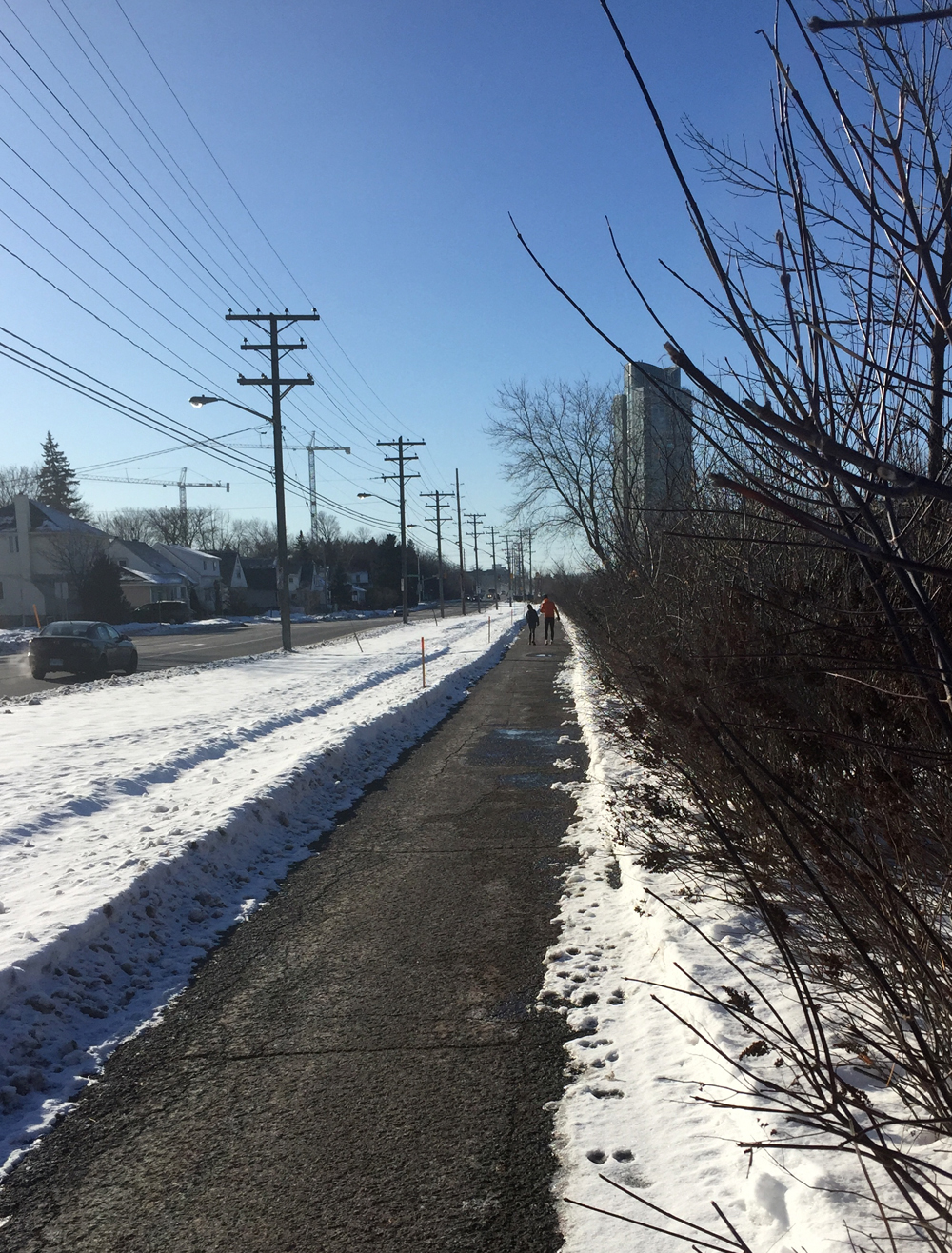
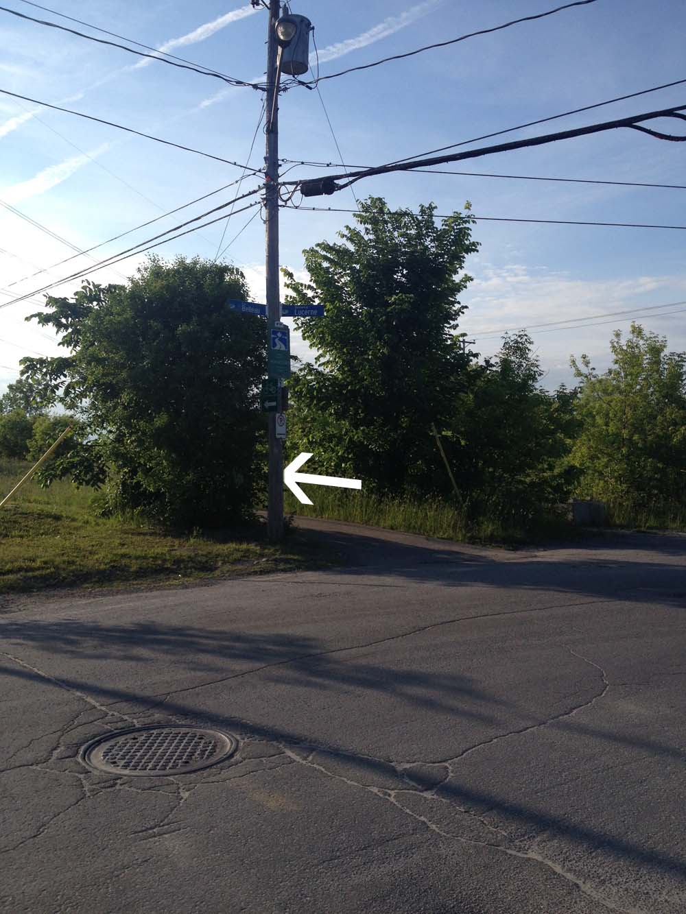
Just off Woodfield there’s a path that runs all the way west to the signalized Hunt Club Road crossing. It’s a shaded path that isn’t cleared in the winter, so we encountered a few patches of slush and ice. We decided to ride along quiet Benlea Drive that runs parallel to the path.

First encounter with slush & ice

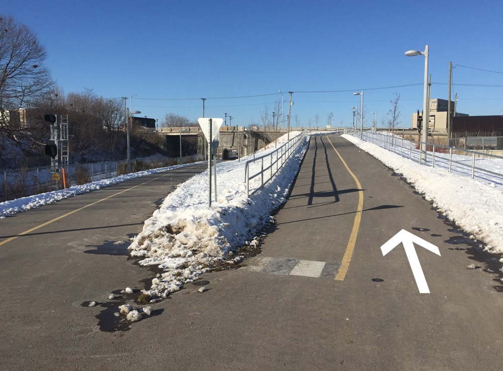
The path continues behind the Nepean Sportsplex, then runs south along Woodroffe. The paths we followed all the way from the Sportsplex to and through Barrhaven were cleared all winter so no slush to worry about.

Woodsy portion of path along Woodroffe

We crossed Woodroffe and continued along the path on the north side of Fallowfield Road for a short distance before crossing Fallowfield at Via Park Place. We got on to the path that continues southwest then south beside the transit way all the way to Berrigan Drive.

Followed a road link between Berrigan and Strandherd Drive. Rode west on Strandherd, south on Greenbank, then east on Marketplace Avenue through the big box mall parking. East end of the parking there’s a short path link to roads that join up with the bike lane that runs along Longfields Drive.

In retrospect I would recommend turning off the path and onto Longfields further north as suggested by the purple line on the above map, thus avoiding busy Strandherd, Greenbank and the big box store parking lot.

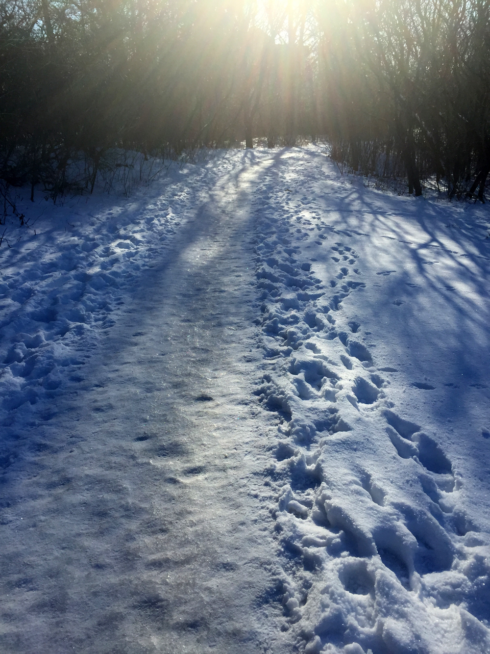
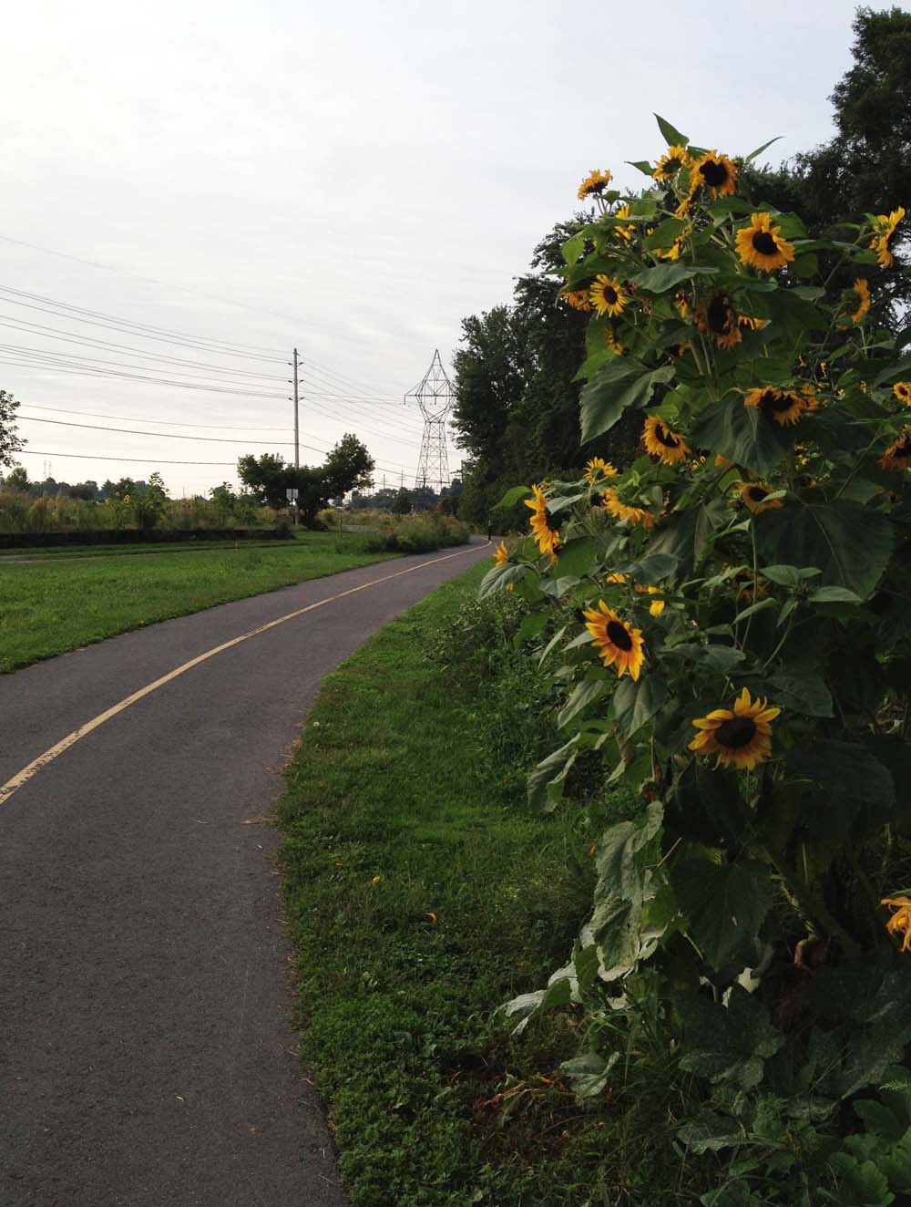
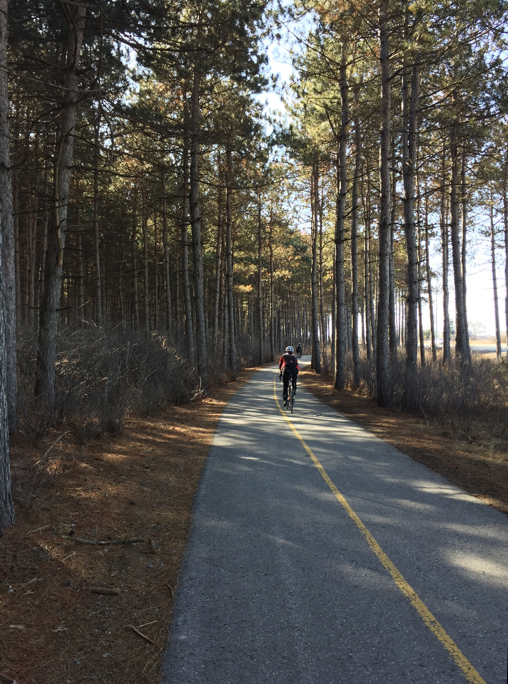
After riding down Longfields and crossing the Jock River we joined a gravel path that weaves it’s way in and through varied wooded areas along the shore the river. This path went under Prince Of Wales Drive and then continued along the Rideau River. We had to contend with a few remaining minor slushy and icy patches along the path but that just added to the sense of adventure.

gravel path1

Riding the gravel path beside the Jock River

Bit of a challenge crossing the stream in Beryl Gaffney Park, but nary a soaker was had!

Crossing the stream
Crossing the stream

We rode along quiet streets and paths the length of Long Island, then crossed back onto the west side to seek out the French Café, where a colleague and friend of mine, Judy deBoer is showing some of her paintings. JP had to head back after grabbing a snack, while the rest of us settled down for a yummy treat and the biggest cappuccinos I’ve ever seen.

French Café in Manotick

Heather plotted a great route for the return journey which included a short side trip that rode a local dam.

Checking out the dam

We had hoped to ford the stream that runs through Gaffney Park at another spot closer to the Rideau but the walking stones were completely submerged. It’s a great short portage in dryer seasons.

Downstream crossing, Spring flooded... but très Zen in the summer
Downstream crossing, Spring flooded… but très Zen come summer

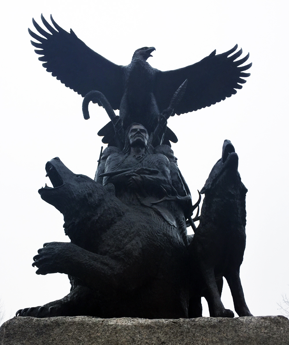
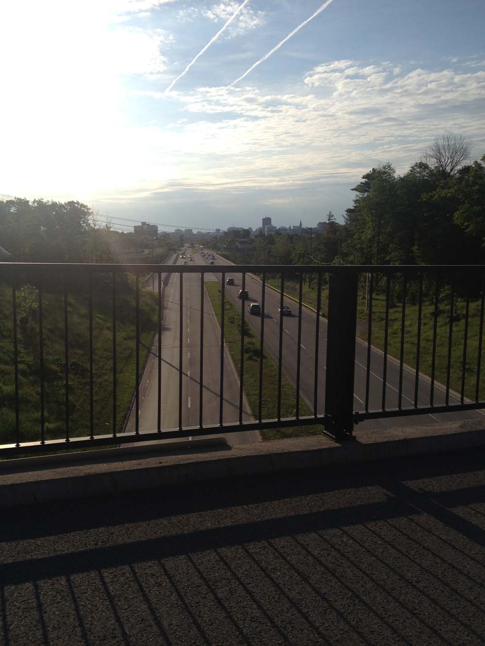
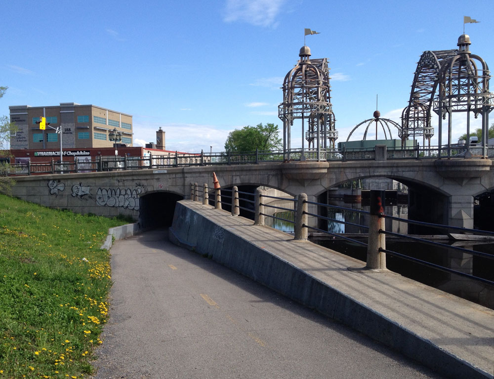
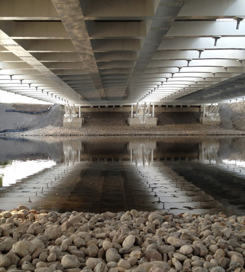
Our return journey also took us further down the Rideau River along a path that goes under the fabulous Vimy Memorial Bridge.

View from under the bridge

On the north side of the bridge the path turns into a wooden boardwalk that weaves it’s way through the Chapman Mills Conservation Area. Lots of pedestrians on the boardwalk so be prepared for a slow leisurely pace through this area.

Boardwalk through the Conservation Area

We pedalled along quiet Winding Way before cutting inland through quiet residential streets and parks before joining up with the bike path that runs along Woodroffe Avenue.

We parted company with Heather and Chris at West Hunt Club Road, which seems a fitting spot to sign off.

For an alternate route to Manotick that runs along Prince of Wales Drive heading out of Ottawa and back on the east side of the river, click here.

Bears in the Capital! An Ottawa Bike Tour

Canada is home to one of the largest populations of bears in the world. I have yet to come across one on my cycling exploits (like these guys) however there are some fine sculptural interpretations of members of the family Ursidae throughout the nation’s capital. So, if you are a lover of bears, or sculptures of bears, this tour is for you!

We begin at the intersection of Sparks Street and Metcalfe Street where stands this big bronze statue of a fishing grizzly by artist Bruce Garner (for tours of other sculptural works by Bruce throughout the capital, click here).

Territorial Perogative

I then rode along Sparks to Elgin Street, then past the WarMemorial and down around the National Arts Centre via the ramp off Elgin Street. I then cut through Confederation Park to the National Aboriginal Veterans Monument, sculpted by Lloyd Pinay. A life sized bear is one of four animals depicted in the base of the bronze sculpture, each representing spirit guides. The bear symbolizes healing powers.

National Aboriginal Veterans Monument

Our next stop is located in the Jeanne d’Arc Courtyard in the Byward Market. To get there I cut through the plaza in front of City Hall, then along quiet residential streets to the bike & pedestrian bridge over the canal at Somerset Street. I then rode along the Rideau Canal, and crossed Colonel By Drive at Daly Avenue. The stretch of Colonel By/Sussex St between Daly and George where it intersects Rideau Street does not have a bike lane and most times of the week it is filled with cars, trucks and buses jostling their way through this busy intersection. The safest time to try this tour would be early Sunday morning when biking through this area isn’t so dangerous.

To access Jeanne d’Arc Courtyard from the south requires walking along the York Street sidewalk just off Sussex for a short distance. Within the courtyard you’ll find Dancing Bear by Inuit sculptor Pauta Salia.

Dancing Bear
Dancing Bear

Our last destination is Green Island located in the middle of the Rideau River. To get there I made my way from the Jeanne d’Arc Courtyard over to St Andrew Street which crosses busy King Edward at a signalled crosswalk. I then took Rose Street to the path through Bordeleau Park.

The path through the park pops out onto Union Street and over the white bridge onto Green Island. The Old City Hall covers most of Green Island, and in the central open space sits this sculpture of a polar bear perched on a metal pyramid engraved with star constellations. It is one of a grouping of three sculptures by Catherine Widgery titled Objective Memory. The pieces are surrounded by water in the summer months.

Objective Memory by Catherine Widgery
Objective Memory

As I was riding home snowflakes started to fall. Unless we experience another freak thaw such as the one we just had between Christmas and New Year’s, this tour may have to wait until Spring. No worries, lots of great winter riding to come. All very bear-able.

Winter bike ride to the Bayshore Park Community Oven

Members of the community surrounding Bayshore Park came up with a great idea – to build a brick oven for people to come together and cook.  On Saturday I packed up some prepared bun dough and biked over to the park to attend one of their scheduled oven lightings, and it was fantastic.

The blue line on the map below describes the route I followed to get there. Purple lines are deviations I took on the way back.

Our adventure begins at the base of the hill leading up from the O-Train path to Somerset St, both of which are cleared of snow! If anyone needs a bike route to get to this starting point, send me your cross street and I would be pleased to figure it out.

Hill heading up from OTrain path to Somerset

I crossed Somerset and followed the cleared bike lane to the west side of the bridge. UPDATE: On January 5th this bike lane and the one on the opposite side of street were not cleared of snow, and it is uncertain when or if they will be plowed. When they aren’t cleared I take to the sidewalk, as cars tend to speed when heading up and over this bridge.

Over Somerset Bridge

The bike lane ends suddenly on the other side so I took the short set of stairs to the right, down to Breezehill Avenue.

Steps  down to Breezehill  from Somerset
Steps down to Breezehill from Somerset

I then wove my way along quiet streets through the Hintonburg and Wellington Village neighbourhoods, all the way to the intersection of Scott Street and Carleton Avenue where there are lights to safely cross speedy Scott Street. I then followed the cleared multi-use path that runs along the north side of Scott.

Multi-use path along Scott Street

The path continues to be cleared beyond Churchill where Scott ends, as far the parkway along the river. The path that runs along the south side of the parkway isn’t cleared, however there is a very well trampled desire-line path to Fraser Avenue that was easy to follow, especially with my studded front tire.

Trampled desire-line path over to Fraser Avenue

I biked up quiet Fraser and across Richmond road at the lights to access the multi-use path that runs between Richmond and Byron all the way to New Orchard Avenue.

Multi-use path between Byron and Richmond Road

I crossed back over to the north side of Richmond at New Orchard Avenue where there are traffic lights. The bike lane heading west along Richmond starts at New Orchard, however the level of snow clearing varied. Between New Orchard and the bridge it wasn’t great, however the lane heading over the bridge was cleared.

Bike lane before the bridge heading west along Richmond ..... and over the bridge
Bike lane before the bridge heading west along Richmond ….. and over the bridge

Once over the bridge I turned onto Regina Lane that runs parallel to Richmond for a short spell. There’s a great mural part way down the lane. More detailed photos of the work can be found here.

Regina Lane mural
Regina Lane mural

I continued along residential streets through the Lincoln Heights neighbourhood, and took advantage of a small opening in the fence along Greenview Avenue to access Farrow Street.

Opening in the fence along Greenview Avenue

UPDATE: March 2020 – they have paved this little link and it gets cleared.

Paved link from Greenview to Fallow

The final challenge was to get to Bayshore Drive without having to ride along busy Carling Avenue. This required following a couple of short, well traversed but not cleared, pedestrian paths between Kempster to Wylie avenue and Oakley to Birchdale avenue.

Path between Kempster and Wylie avenues

Then it was across Carling to Bayshore Drive, along Woodridge Crescent, and into Bayshore Park where sits the communal oven. When I arrived there were a whole bunch of wonderful people cooking and sharing an assortment of dishes. Tom, the head baker of the day cooked up the little buns I had prepared and they turned out perfect! Everyone was very pleased.

To know more about how the oven came to be check out this CBC interview with John McDougall the oven builder and Mete Pamir, one of the community organizers. They also have a Facebook page with more history.

Bayshore Park Community Oven
Success! Tom the baker, et  les petits pains maison!
Success! Tom the baker, et les petits pains maison!

Time to head home. On the return trip I couldn’t ride back along Regina Lane because it’s a one way heading west. Closer to Centretown, I avoided Breezehill because it’s hard to see cars coming when crossing Bayswater heading east, as the two streets meet on the inside of a curve. Crossing Somerset at the top of the Breezehill stairs to get to the bike lane heading east is a bit tricky as well, as it’s hard to see cars coming over the crest of the bridge.

Et voila!

Biking from Gatineau Park to Ottawa

Alexandre wrote, “Just moved into Gattawa from Montreal and biking routes will be a challenge. For one thing, what’s the best way to safely bike from Gatineau Park to Ottawa? Or to Aylmer?”.

Thanks for asking! Here’s a safe route from the park to Ottawa.

.
Our adventure begins at the P3 parking lot along the Gatineau Parkway, also referred to as the Gatineau Park Welcome Area. There one can find a big interpretive map panel showing paths that lead into the rest of the park. There is also an interpretive kiosk with helpful information officers. I joined the Gatineau Park Pathway just to the left of these very well designed interpretive panels.

Gatineau Park Pathway heading south

A hundred yards or so further along, the path crosses another path that runs east-west (it used to be Rue Gamelin). I continued south.

Gatineau Park Pathway continuing along Gatineau Park Driveway
Gatineau Park Pathway continuing along Boulevard du Parc de la Gatineau

The path follows the road for a bit before dipping left through a beautiful wooded area.

Woods
Woods

It The path continues alongside the road over Boulevard des Allumetières before heading back through the woods.

Heading over Boulevard des Allumettières

The path ends at the southernmost tip of the park, at Boulevard Alexandre-Taché. I continued across the intersection down quiet Rue Belleau.

Across Alexandre-Taché down Belleau

At the end of Belleau there’s a path that turns off to the left.

Path at the end of Belleau

A bit further on there’s a fork in the road. This is the Voyageurs Pathway. By turning right you’d be heading west, which will take you all the way to Aylmer. It’s a great ride, described in more detail in this post.

I turned left and headed towards Ottawa.

Sign a the intersection of the Voyageurs Pathway

The path eventually meets up with Boulevard Alexandre Taché once again, just beyond some train tracks, and turns right alongside Boulevard Alexandre Taché.

Over the tracks, and right

The only spooky bit along this route is at the corner of Boulevard Alexandre-Taché and Rue Eddy. I keep further back and closer to the wall while waiting for the light to change than these fine cyclists ahead of me because I’ve witnessed cars and trucks clip the corner of the sidewalk in their rush to turn onto Eddy and over into Ottawa. I’ve also seen cyclists turn on to Eddy, which I would never have the guts to do as that bridge is very narrow with afore mentioned impatient car & truck drivers. Instead I cross through the intersection and continue along the path on the opposite side.

Corner of Eddy and Alexandre-Taché

The path continues east, eventually going under the Portage Bridge before popping out in front of this sculpture by Phyllis Kurtz Fine. Turning left takes you behind the Museum of History and the opportunity to cross over to Ottawa on the Alexandra Bridge. I turned right and made my way along the bike path over the Portage Bridge.

Alexandra Bridge towards the left..... Portage Bridge to the right.
Alexandra Bridge towards the left….. Portage Bridge to the right.

Once on the other side of the bridge there are a myriad of options, depending on your final destination. I went left, just like this guy, and headed west along the Ottawa River Pathway. Et voila!

Ottawa

Bike commute from Primrose Park to Pointe-Gatineau

Beth is seeking safe ways to bike commute from the northern section of Little Italy to the eastern edge of Pointe-Gatineau. I scouted out a route that is almost entirely along bike paths, as identified by the blue line on the map below. Red line is the slight variation I took on the way back. Green line is another route Beth test rode last week that is also almost entirely along bike paths, however the path was flooded in a few areas near the confluence of the Gatineau and Ottawa Rivers forcing her to do a bit of a detour. It’s a great route too, best ridden a little later in the season. UPDATE 2017: (see pink line on following map) There’s a great new bike lane on the east side of the Gatineau that runs between Rue Jacques Cartier and the Ottawa River which joins up with the Route Vert path heading north, then the bike lanes along Montée Paiement. This takes you straight to our final destination. This new section is described in this post.

We begin at the recently renovated Primrose Park, corner of Primrose and Rochester St.

And away we go!
And away we go!

There is a short path at the northwest corner of the park that cuts through to a lane that leads to Preston St.

Path to Preston St
Path to Preston St

I turned north on Preston and rode half a block to the lights at Albert, crossed at the lights and rode east along the bike path.

Looking across the to the bike path heading east along Albert.

I turned left off the path onto bumpy Commissioner St, which leads to the Ottawa River Pathway which continues under Wellington St.

Down Commissioners st onto bike path.

Once beyond the Wellington St underpass I turned left up along the path over the Portage Bridge. On the other side of the bridge I turned right onto the Voyageurs Pathway and circled under the Portage Bridge and headed east.

Voyageurs pathway access off the Portage Bridge

I crossed Boulevard Alexandre-Taché at the lights at the corner of Rue Montcalm and joined the Ruisseau-de-la-brasserie Pathway like so.

Start of the Ruisseau-de-la-brasserie Pathway at the north west corner of Montcalm and Alexandre-Taché

The path takes a short detour around construction just in front of Théâtre de L’Île. It’s a short detour around the parking and over the canal bridge. Once on the other side of the bridge I turned right onto Rue Taylor which hugs the side of the stream, eventually becoming the Ruisseau-de-la-brasserie Pathway at it’s northern end once again.

Rue Taylor along the western side of the ruisseau

The path dips down and under Rue Montcalm and meanders along the ruisseau for quite a spell.

Ruisseau-de-la-brasserie Pathway as it dips under Rue Montcalm

The path eventually goes back over the ruisseau and continues downstream on the other side.

Continuing on the Ruisseau-de-la-brasserie Pathway

The path continues under Highway 5, however there were these P-gates just before the underpass and a sign warning that it may be flooded.

Ruisseau-de-la-brasserie Path just before going under Boulevard des Allumettières

A cyclist popped out from the other side just as I approached and reassured me that there was only about a couple of inches of water across the path, so I went and took a look, and she was right, so I rode on through.

Ruisseau-de-la-brasserie Pathway heading under the Boulevard des Allumetières
Ruisseau-de-la-brasserie Pathway heading under the Highway 5

I turned left over a small wooden bridge a short distance beyond the underpass. This took me towards Lac Leamy.

Left over bridge just beyond the Highway 5 underpass.

Before going any further I would like to pause and contemplate this little wooden bridge, which I have come to call The Little Bridge From Hell! You see, the last time I rode over it I crashed, resulting in a meniscal tear in my knee, sidelining me for a good chunk of last Fall. A light drizzle had fallen that morning making the wooden surface very slippery. Heading back over the bridge in the opposite direction, the path suddenly turns to the right. one’s instinct is to start to turn while still on the bridge, as suggested by the tire tracks in the image below. When I did so my tires slipped right out from under me. As I put my right leg out to brace my fall my foot slipped uncontrollably in the opposite direction, bringing all my weight down on my knee. Thus the injury. SO, hard lesson learned, if it’s raining or frosty, go very slowly over this innocent looking little bridge and don’t start to turn until you reach the asphalt on the other side.

The Little Bridge From Hell

OK, on with our tour. The path continues along until it joins the Leamy Lake Pathway. One could normally choose to go either to the left or the right around the lake, however at this time of year the east side of the lake gets very flooded, so I stuck to the left.

Path around Lac Leamy

A bit further along the path I encountered another minor wet spot, also very manageable. Shoes didn’t even get wet.

Bit of water on the path
Bit of water on the Lac Leamy Pathway

Around the other side of the lake, just beyond the parking lot, I turned left onto the Gatineau River Pathway.

Left onto the Gatineau River Pathway

The path forks at the edge of the elevated Rapibus transit way. I followed the path to the right under the transit way.

Path under the Rapibus Transitway.

I then followed the path alongside the transit way, up and over the Gatineau River.

Path up to the bridge over the Gatineau River

Everything becomes a bit of a dogs breakfast once the path reaches Boulevard de la Gappe. The path crosses the train tracks, and continues on the opposite corner through the traffic lights. See big white arrow in photo below.

Path continues on the opposite corner of Boulevard de la Gappe

The path weaves it’s way the entire length of Boulevard de la Gappe to our destination, Boulevard de la Cité.

Path along Boulevard de la Gappe

There’s a swimming pool close by with one of the cleverest bike rack/wall mural combos in the region.

Cool bike rack
Excellent bike rack

On the way back I decided to avoid riding along the Gatineau River and around Leamy Lake by continuing alongside the Rapidbus transit way to where it ends at Boulevard Montclair. I crossed Montclair at the lights and rode east.

Left onto Montclair
Left onto Montclair

Montclair can be a pretty busy street with fast moving cars, but there is a bike lane that takes you to the path that accesses the Ruisseau de la Brasserie Pathway.

Bike lane along Montcair at pathway to Ruisseau de la Brasserie

Heading towards Pointe Gatineau along this alternate route would require biking on the sidewalk against traffic as far as the lights across from the start of the bike path beside the transit way, however I’ve rarely seen any pedestrians along this sidewalk. If any are encountered there is plenty of opportunity to see them coming to dismount and walk your bike past them with a great big smile! So there you have it – a few fine ways to bike to Pointe Gatineau!

30 Days of Biking – The End

On the last day of this year’s 30 Days of Biking I decided to take my winter wheeler in for a well deserved tune up. Upon my arrival I wasn’t surprised to learn they had a back log. At this time of year everyone is anxious to shake the dust off their summer steeds and ride! So I made an appointment and pedalled back home.

I’m very pleased I took the 30 Days of Biking pledge. It allowed me to focus on the importance of biking to accommodate short daily tasks as well as longer commuter routes. I probably won’t be blogging as often as I have been over the last month, but I do intend on continuing to find a daily reason to go for a ride.

To get to the bike shop and back I followed my favourite Westboro-ly route, described in detail in this post. Here are a few additional hi-lites to add to its appeal.

Orange Art Gallery has recently taken up residence in this great little old building that sits on the edge of the City Centre parking lot on the way to and from the O-Train path.

Little old building in City Centre

This well preserved heritage building also stands proud on Armstrong, one block north of Wellington.

Armstrong House
Armstrong House

Big rocks on front yards can be interesting, even more so with iron snails crawling verrrry slowwwwly across their surface, like this one along Armstrong closer to Parkdale.

Snail!
Snail!

So there you have it. ‘Twas a fine month of riding!

30 Days of Biking – Day 25 : Late night ride to Nepean Point and back

Day 25 was so crazy busy that I didn’t have a chance to hop on my bike, so to meet my 30 Days of Biking pledge I decided to go for a late night ride down to Nepean Point behind the National Gallery. It was great. I rode along the Ontario side of the river and back along the Quebec side. Here’s how.

To get down to the Ottawa River Pathway from Chinatown I took the stairs at the end of Empress Avenue. Good lighting and bike ramp.

Empress Ave stairs down Nanny Goat Hill

On a late night ride through La Capitale Nationale one is reminded of how well we light our national edifices. Take, for example, the always impressive Library and Archives Canada, as seen from the Ottawa River Pathway.

National Archives at night

And of course there’s always fabulously lit Chateau Laurier, as seen from the Rideau Canal locks.

Chateau at night
Chateau at night

Maman, the spider sculpture by Louise Bourgeous, sits infront of The National Gallery, across the street from the elegantly lit Notre Dame Cathedral.

Maman et Notre Dame
Maman et Notre Dame

Off the path up to Nepean Point sits this Majestic sculpture, composed of lamp posts blown over by Hurricane Catrina in New Orleans.

Majestic at night
Majestic at night

Looking across the river from Nepean point you can see and hear the sound of the car wheels humming over the Alexandra Bridge’s metal surface.

Aleaxandra Bridge from Nepean Point

It’s a fantastic place to watch summer storms roll in along the Ottawa River, or to watch the Equinox sunrise.

I crossed the river along the bike path and zig zagged down to the Voyageurs Pathway behind the Canadian Museum of History. It’s a great time of day to view the large impressive sculptures within the Grand Hall. Many of these works were meant to be viewed from a distance which is possible when looking through the windows from outside into the space at night.

CMH

View into the Grand Hall

I rode along the Voyageurs pathway, which was very serene, to the Portage Bridge where I crossed back into Ottawa as rider number 1044 for the day.

NCC counter

Et voila!

Winter ride to Champlain Park to see the ‘Trees as Witness to History’ outdoor exhibit

The neighbourhood of Champlain Park, located just west of Tunney’s Pasture, is home to some of the oldest forest born trees in Ottawa, including a number of magnificent bur oaks that are more than 200 years old. A recently installed interpretive exhibit on the exterior wall of the Champlain Park field house, titled ‘Trees as Witness to History’, displays a section of one Champlain Oak that grew along Northwestern Ave up until 2011. I highly recommend riding by and checking it out.

Here’s a winter ride to get there from Chinatown. Once beyond the Somerset bridge over the O-train tracks, the route weaves it’s way along quiet residential streets.

Trees as Witness to History display

Clicking on this link takes you to a map showing the location of surviving trees from the bur oak forest in and around Champlain Park.

Biking from Parliament Hill to Ottawa South

Someone was wondering via Twitter if there is a safe way to bike from Parliament Hill to the Ottawa Hospital General Campus that avoids the ‘horrible Smyth Road bridge’. Here is a route indicated by the blue line on the map below, starting at Parliament Hill to the Ottawa Hospital General Campus and beyond through the rest of Ottawa South.

UPDATE – Spring 2020: The new path along the O-Train from Ottawa University was a big ground breaking change for this route so I’ve updated it accordingly. 

Start
Start

Leave Parliament Hill, cross Wellington and head a short distance down Elgin Street.

Elgin St
Elgin St

Turn down the ramp beside the NAC across for the War Memorial, like so.

Ramp heading down beside the NAC to the canal

Ride all the way down the ramp past the NAC stage door, and get on the bike path that runs along the canal.

Path along the Rideau Canal

Take the pedestrian/bike bridge over the canal across from Ottawa of University, like so.

Bike and pedestrian bridge over the canal

Cross Colonel By Drive and go straight under the O-Train tracks. There is a winding path that gets you up to train level. Follow that path heading south parallel to the tracks. Follow it all the way to Hurdman Station.

Cross under Hurdman Station and Continue straight on towards the Riverside Drive/ Industrial Avenue intersection. Now I won’t deny this is a spooky major vehicule intersection, however don’t let it intimidate you. There are usually many other pedestrians and cyclists crossing at this spot and the path does continue on the other side of Riverside Drive along Industrial Avenue.

Riverside Drive and Industrial Avenue

Continue along Industrial Avenue, past the giant metal flowers installed in Cancer Survivors Park.

Big flowers
Big flowers

The first street you will come to is Alta Vista Drive. There is a bike path that starts at the south east corner of Alta Vista and Industrial. Follow it.

Path off the corner of AltaVista and Industrial

It ends a short distance on at Blair Street. Turn right on Blair, then take an immediate left on Station Boulevard. Follow Station Boulevard right to the end where there’s a bike path that takes you through to Ring Road.

Bike path at the end of Station Boulevard

Turn left on Ring Road that rings around our first destination – the Ottawa Hospital General Campus!

Riverside Hospital
Ottawa Hospital General Campus

For those interested in continuing on further into Ottawa South, exit the Ring Road at the first left which is a car entrance to the grounds of the hospital. Turn right on Roger Guindon Avenue, and follow it all the way to Smyth Road. Across Smyth you will see the start of another bike path. This one is really great, because it travels right across Ottawa South through mostly green space all the way to Walkley Road, and goes past the very impressive Kilborn allotment gardens. Our journey ends here, however for those that wish to travel even further south there are bike lanes along Conroy Road as far as Hunt Club Road. Have a great commute!

Ottawa South

Et voila!

Chunks of Old Buildings – round 2

Last November I posted a tour of various architectural ruins that have been selectively placed throughout the city. Since then I’ve discovered a few others so I came up with this second route which I tested out this morning.

First stop on the tour is this sculpture titled Enfin le soleil, located in the Gatineau community of Jardins Taché. It is a piece commemorating a legal struggle in the 1970’s pitting the Association des propriétaires des Jardins Taché against the development of a high-rise that was constructed despite not meeting zoning requirements. The Association des propriétaires persevered and the building was demolished. Two sections of reinforced concrete were recuperated from the demolition and incorporated into this piece.

Enfin le soleil
Enfin le soleil

Second stop is a short distance down river just off the Sentier des Voyageurs. They are steel pipes from an EB Eddy facility, recovered in 1977 during construction of a nearby park and arranged within the landscape as reminders of the area’s industrial past.

EB Eddy Pipes
EB Eddy Pipes

Third stop is Strathcona’s Folly, a play structure created in 1992 by artist Stephen Brathwaite, located in Strathcona Park along the Rideau River. It incorporates architectural details from a number of heritage buildings throughout Ottawa, as described on a bronze plaque mounted within the piece.

Strathcona's Folly
Strathcona’s Folly

And finally, this Gothic Revivalist detail sits on the grass behind the Confederation Building, just to the west of Parliament Hill. There used to be a few others lying about with gargoyle motifs but I didn’t notice them on this occasion.

Gothic Revivalist detail

So there you have it – a few more strategically placed architectural remains commemorating the past within our ever changing built environments.