A Company of Fools is Ottawa’s longest running professional Shakespeare Company. This summer they will be performing Twelfth Night in parks Throughout the region. On June 30th the show previews in Lynwood Park located in Bells Corners. Hannah is considering biking there from her neighbourhood in Bel-Air Heights so here’s a bike route that is almost entirely along multi-use paths! (UPDATE – Fall 2018 : The Twelfth Night tour is over, however this route continues to serve as a convenient connection from Bells Corners to areas further east!)
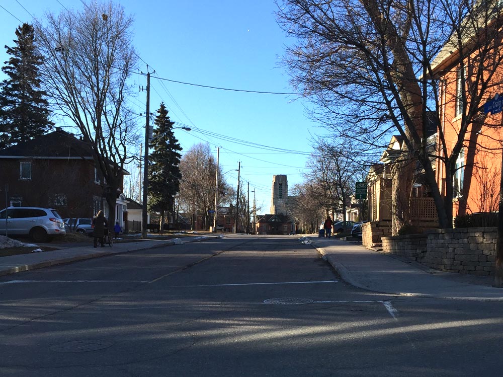
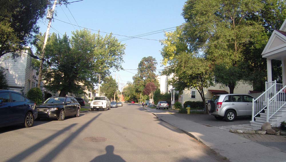
Our journey begins at the intersection of Iris & Navaho. I headed a short distance along Iris Street to where it crosses the Experimental Farm Pathway. That’s where I got onto the path and headed west.

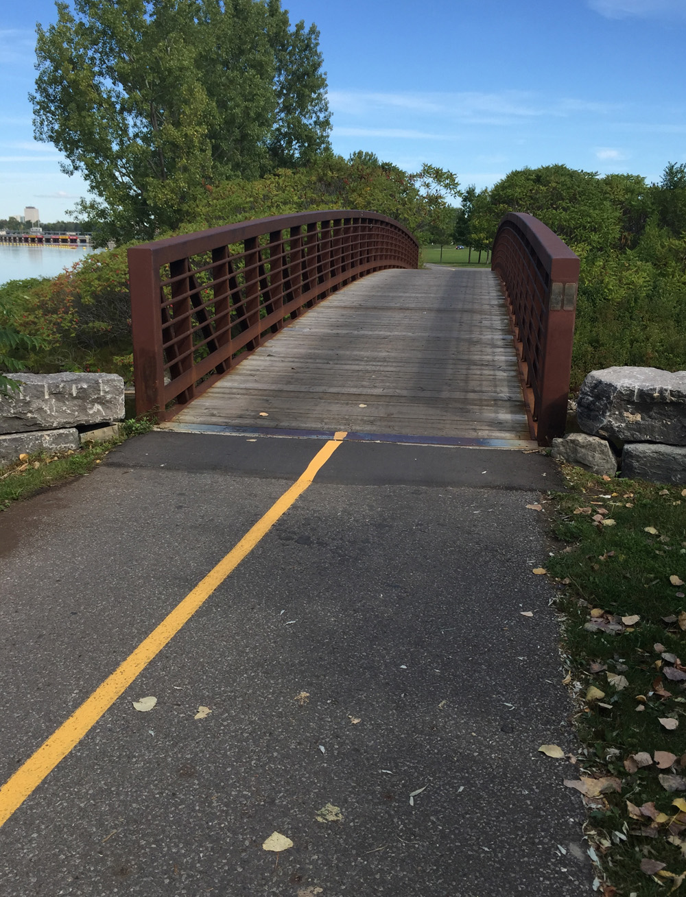
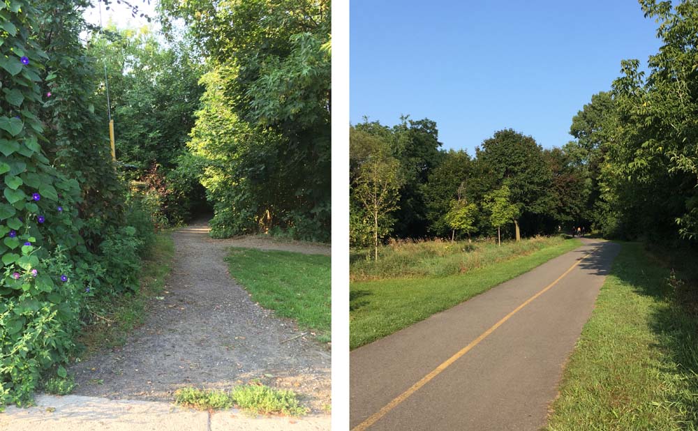
The Experimental Farm Pathway ends at Woodroffe however there are traffic lights to get across the street to where the Pinecrest Creek Pathway begins on the other side, just beside the fire station.

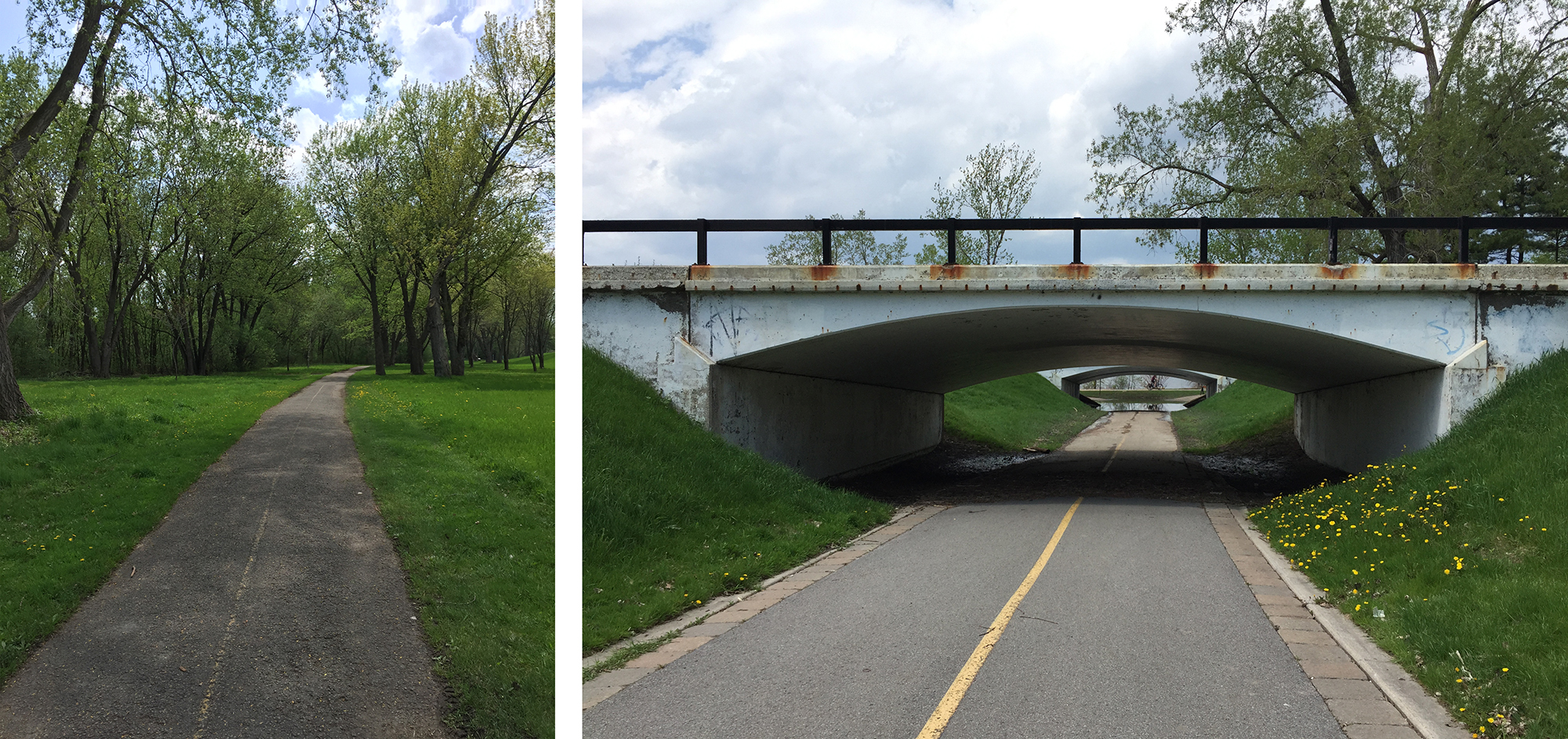
The path curves down hill, at the bottom of which I took the exit that heads across the Transitway.
After curling up and under Baseline Road the official path circles around a bus parking lot, however most continue straight to avoid this detour.

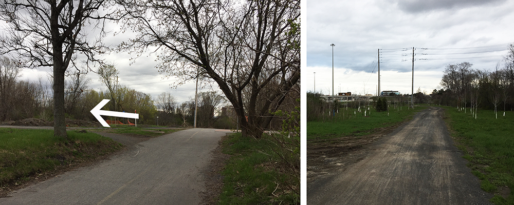
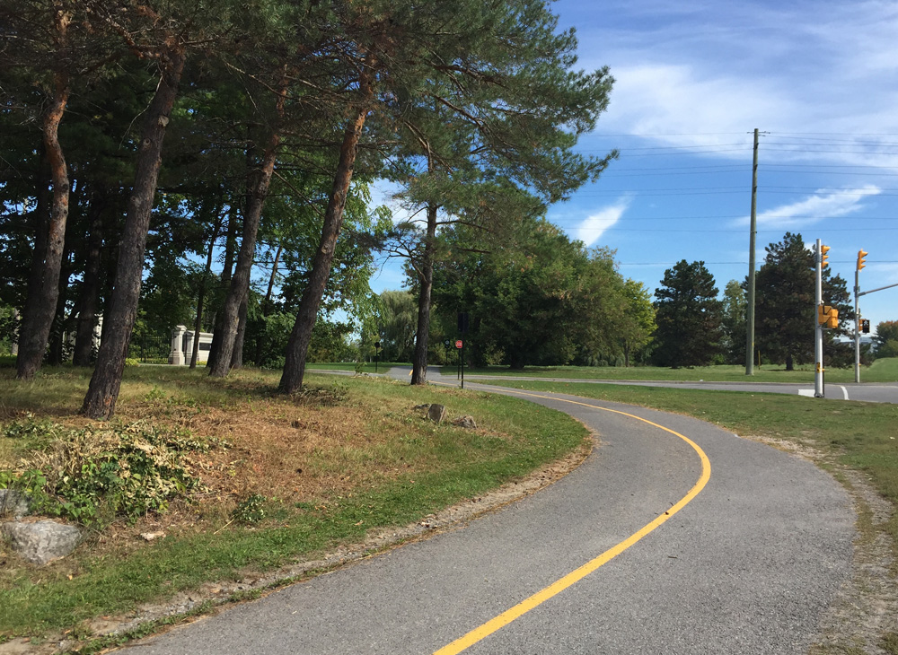
The path continues parallel to Woodroffe, then veers west just before reaching the Legacy Skatepark. It then continues westwardly, twice crossing Centrepoint Drive.

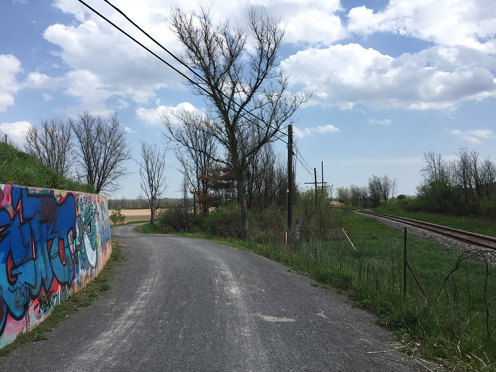
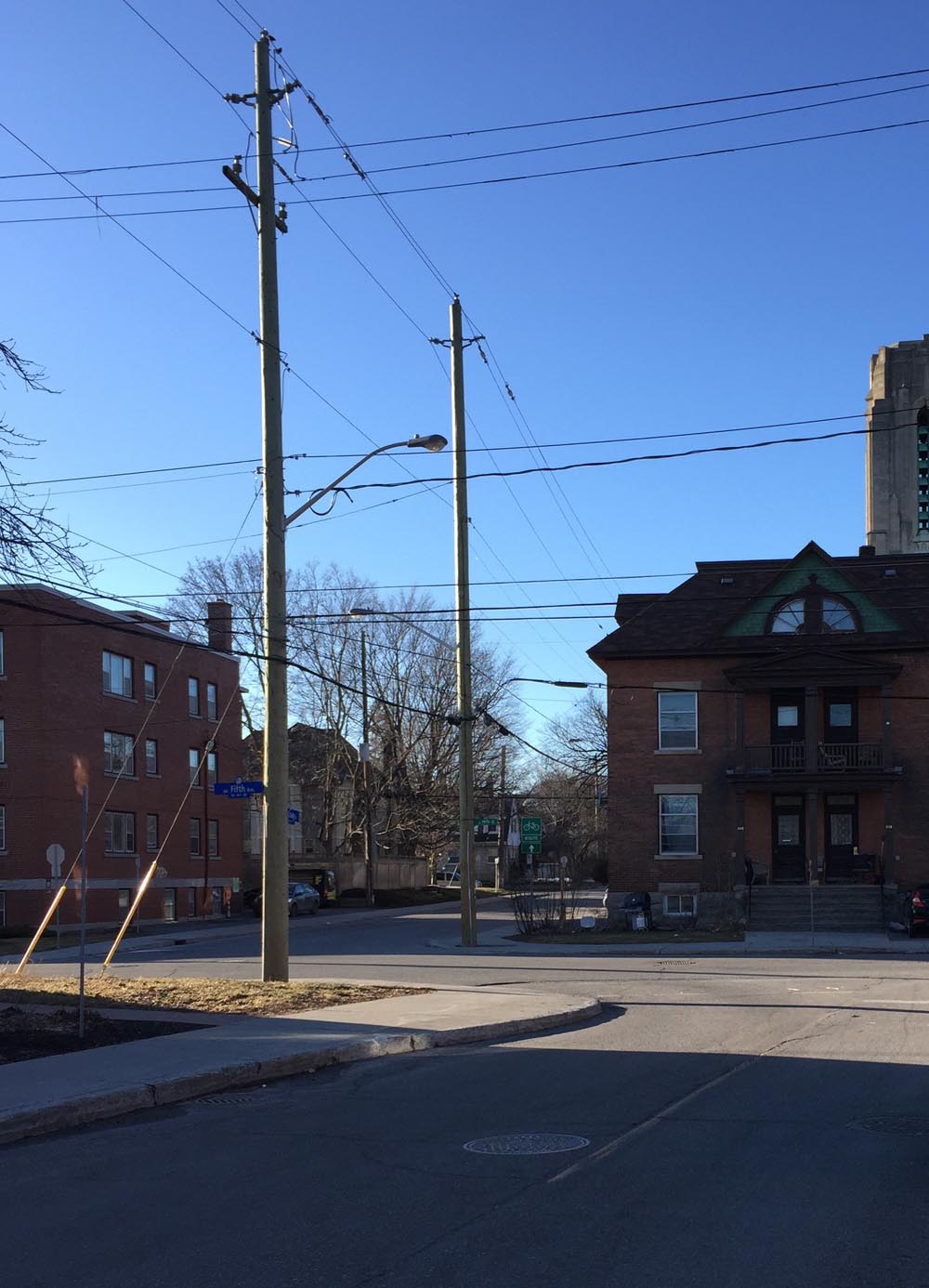
The path dips under the train tracks and ends a bit further at Craig Henry Drive.


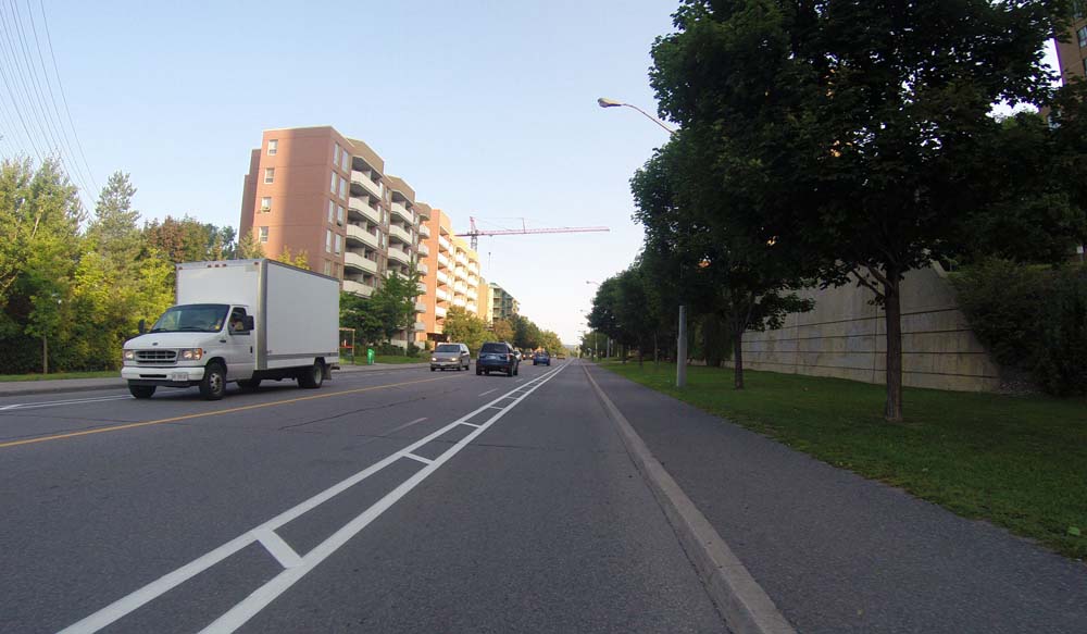
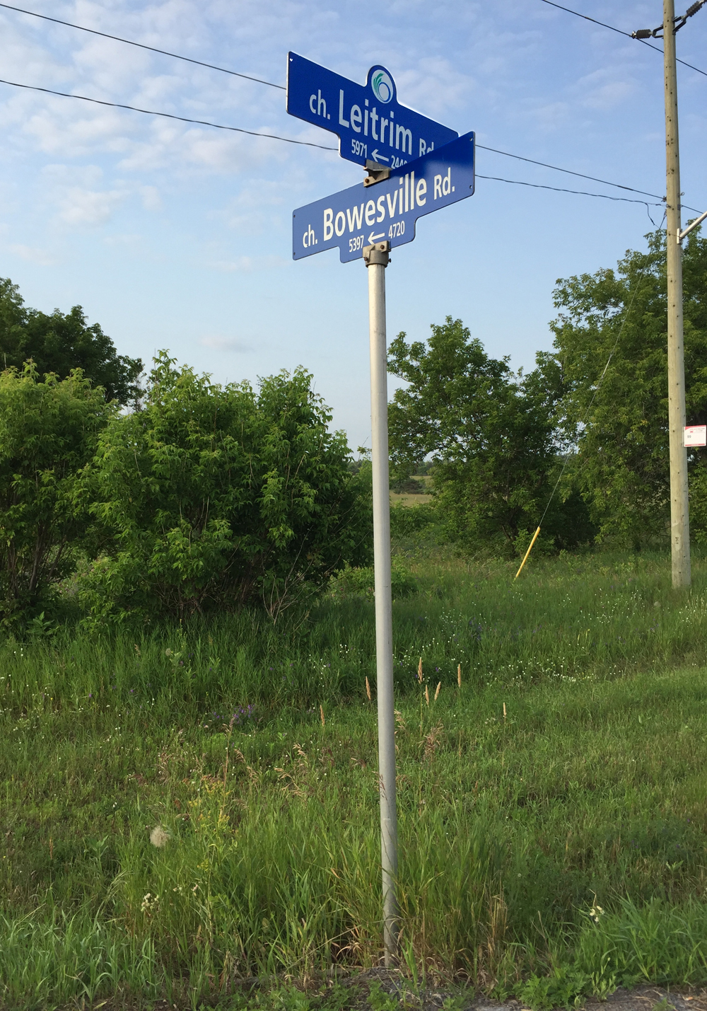
Craig Henry Drive has a painted shoulder but it is not signed as a bike lane so there is a chance you may have to bike around the odd parked car. I followed Craig Henry Drive all the way to Greenbank Road.

On the opposite side of Greenbank I continued along Canfield Road for a short distance before hopping onto another path. Canfield Road is a residential street however some drivers do speed along this stretch of road. For those wishing to avoid riding along Craig Henry Drive and Canfield Road I have indicated an alternative route on the map in orange.

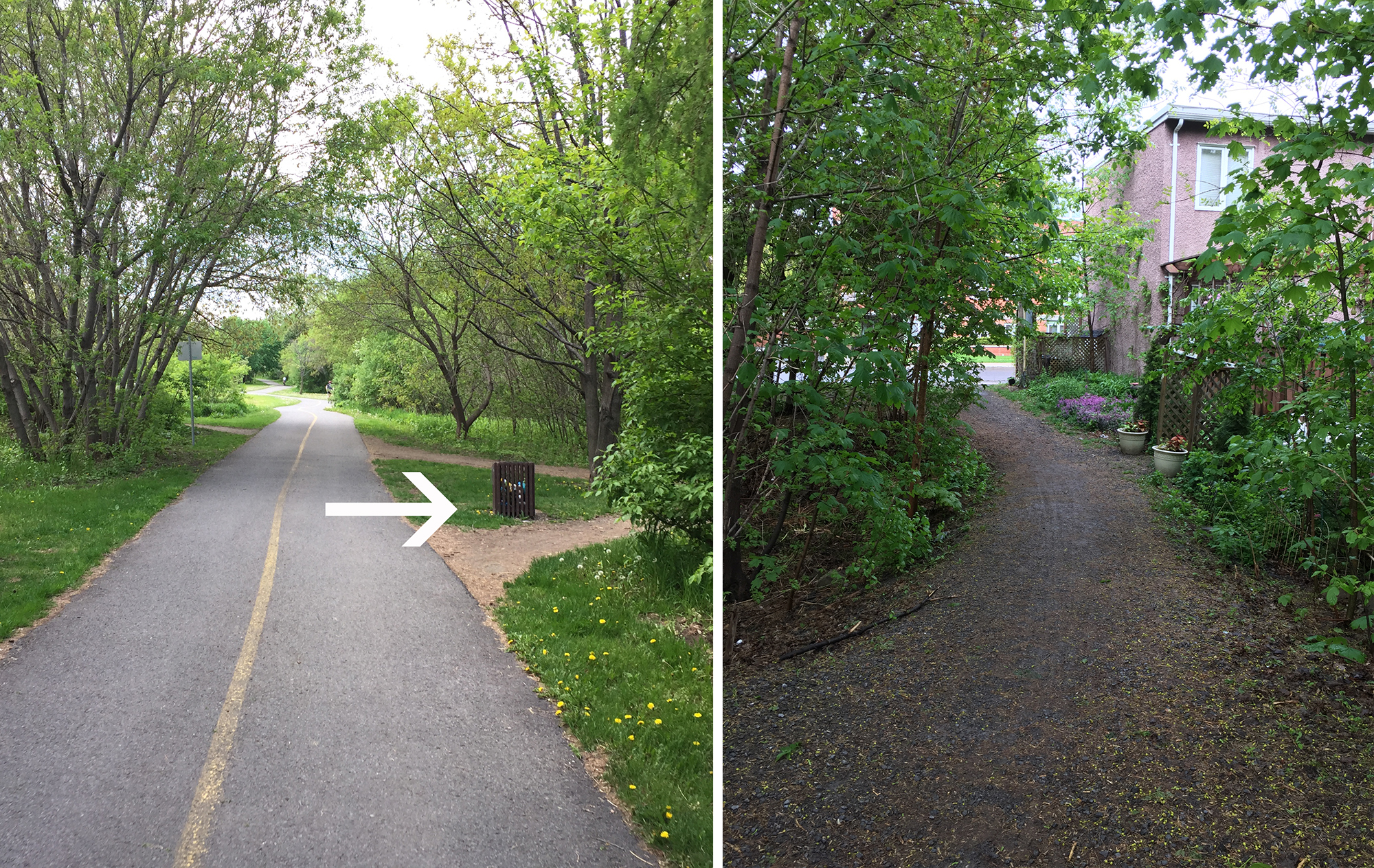
To access the path off Canfield I took the closest cut in the curb which is a few yards away from the path, infront of some communal mailboxes.

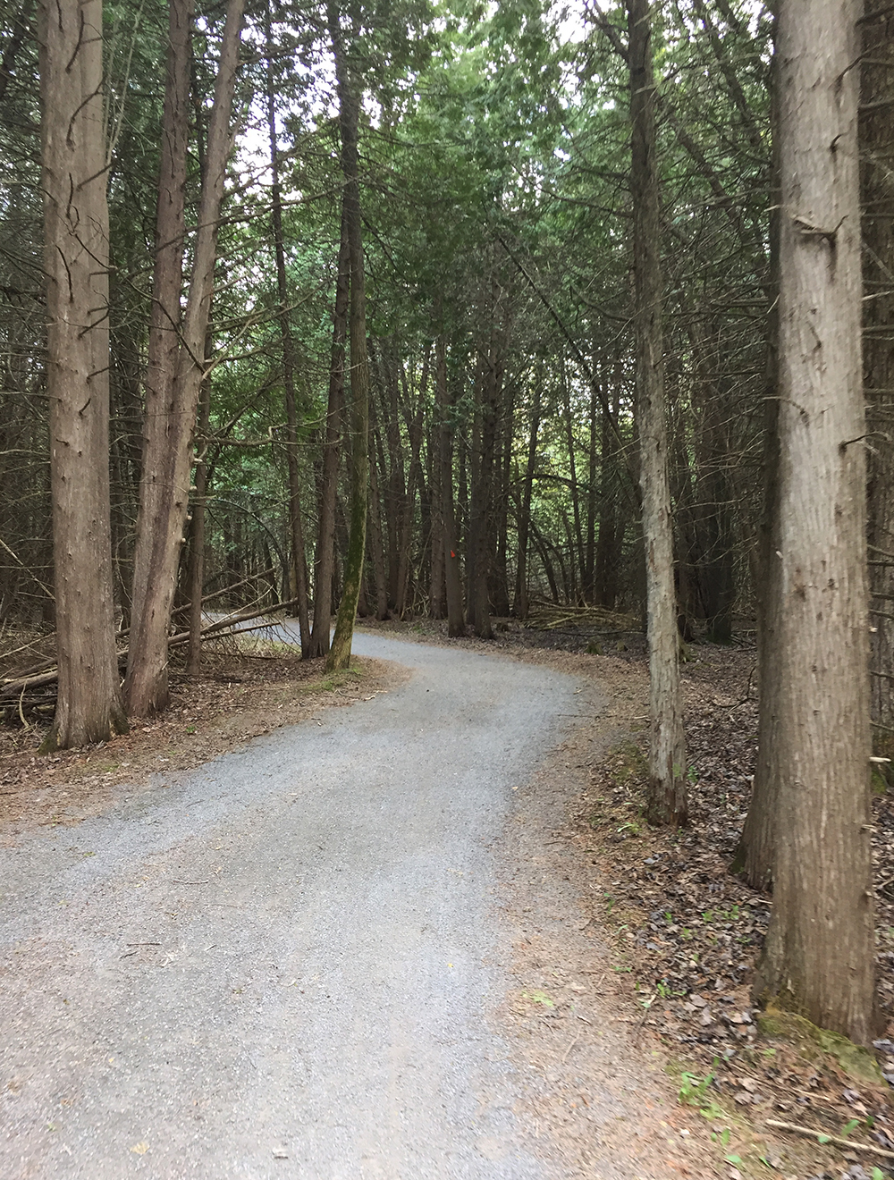
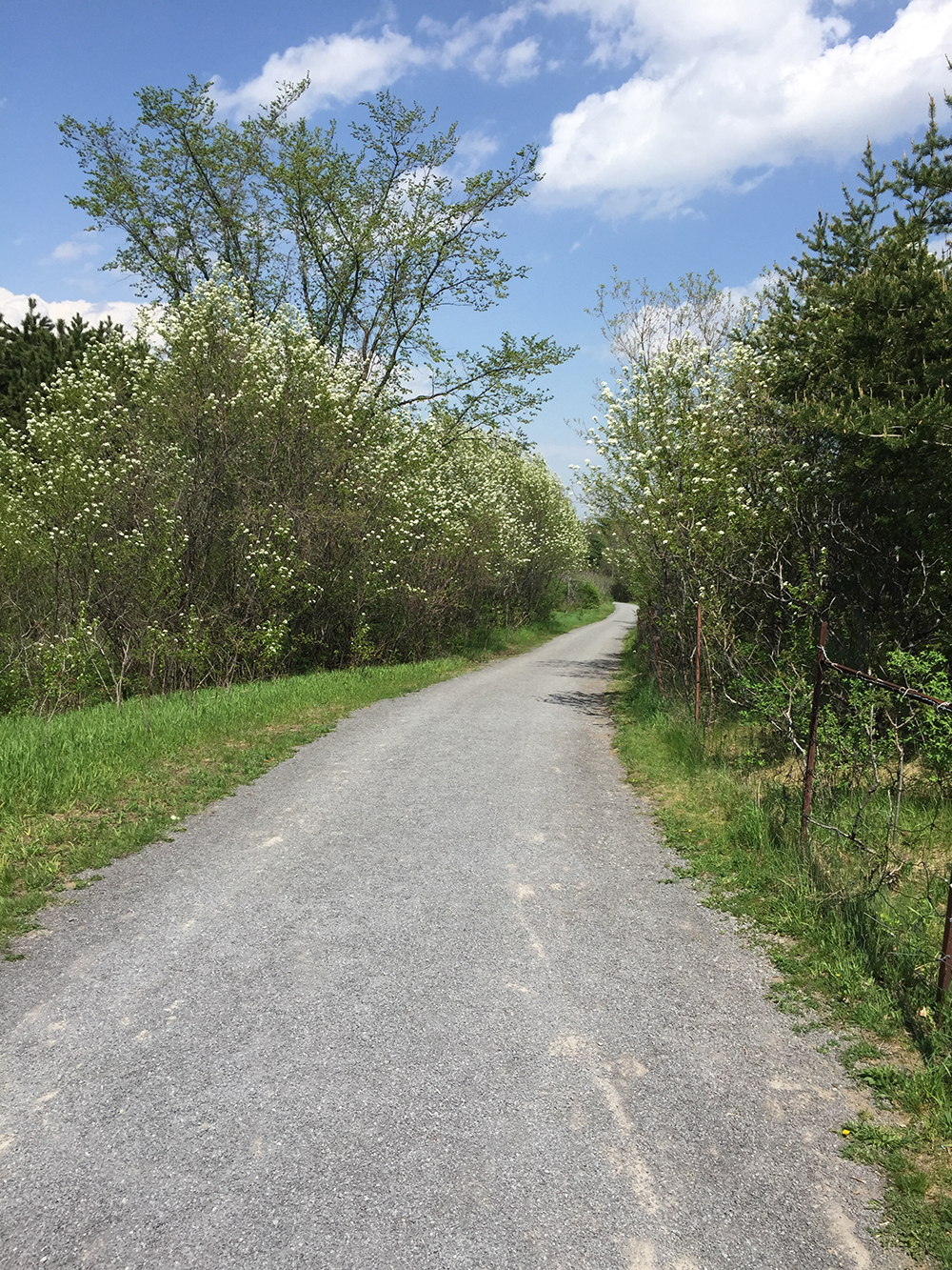
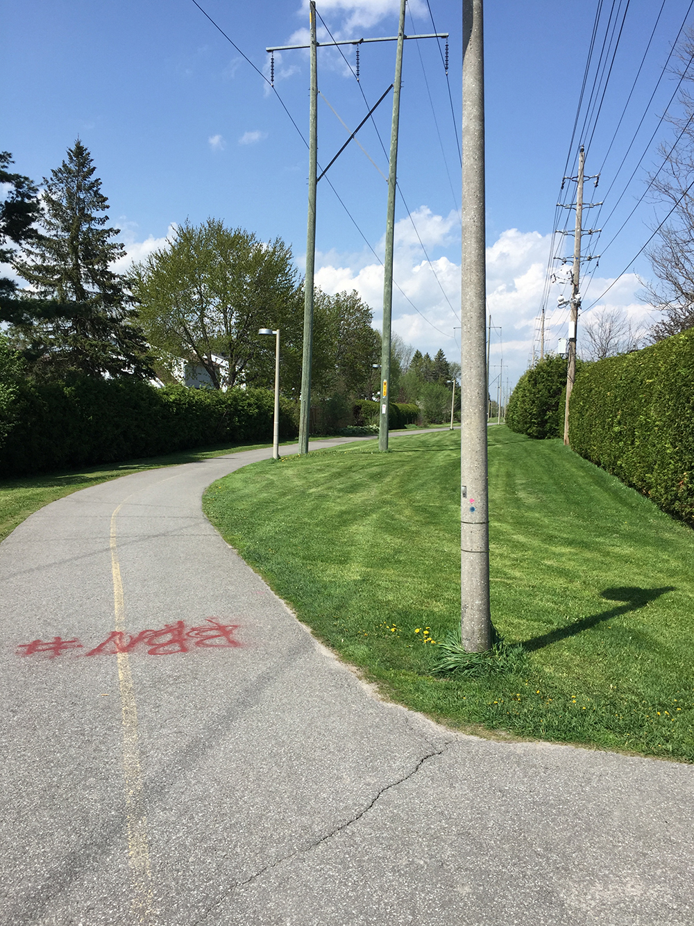
This section of path weaves it’s way through a wooded area before crossing McClellan Road, and then follows power lines all the way to Bruce Pit.

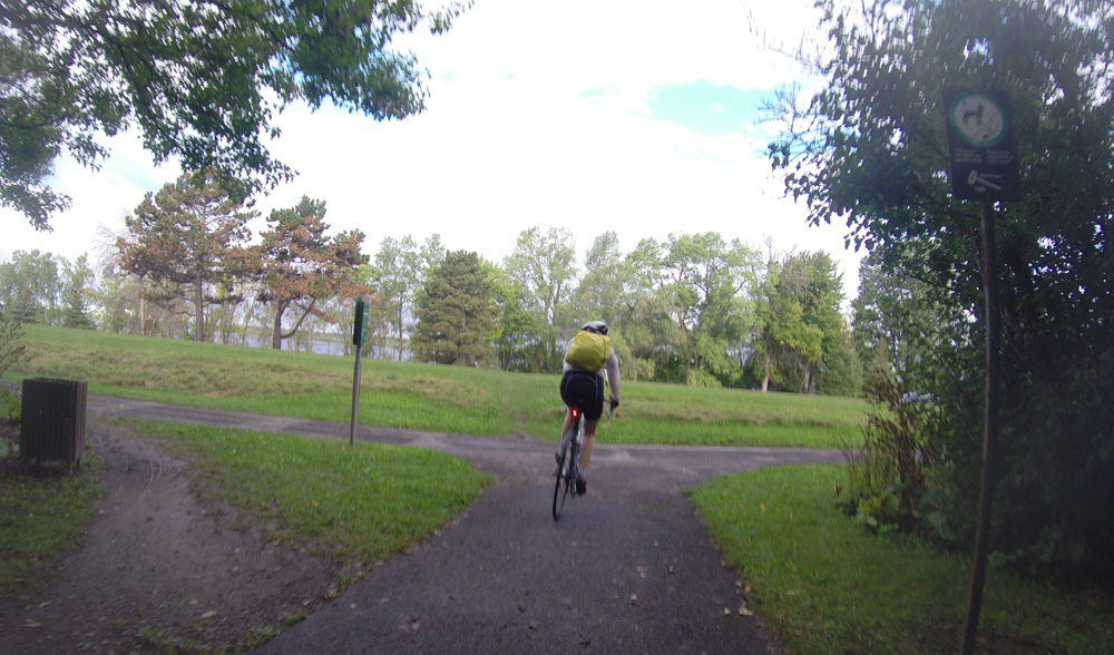
Once arrived at Bruce Pit I turned right and followed the packed stone dust path that circles the Pit.

The path around Bruce Pit is quite lovely. There’s a fence along one side as the centre of Bruce Pit is a huge dog park.

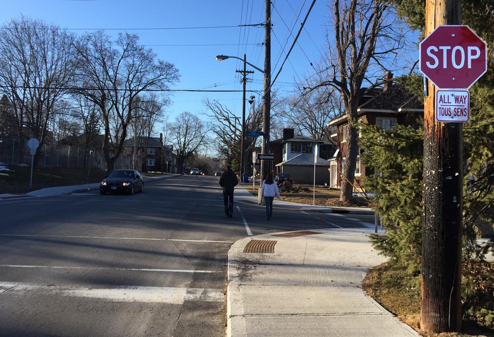
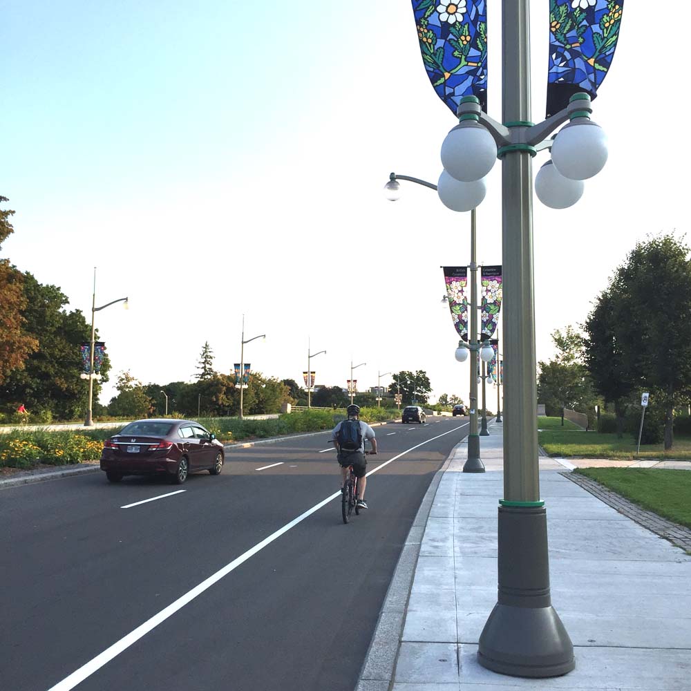
I crossed Cedarview Road on the west side of Bruce Pit and then rode along the bridge, that has bike lanes, over the 416 highway.

Once on the other side of the 416 I cut through to the northwest corner of Bell High School campus. Just beyond the black chain link fence there is a short path off to the right that I followed down to Stinson Avenue.

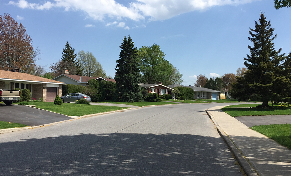
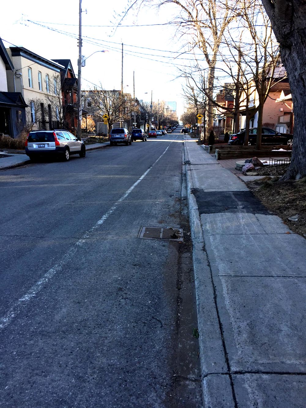
Stinson Ave is a quiet residential street, as are Delta St, Evergreen Dr and Ridgefield Crescent which I followed all the way to our final destination, Lynwood Park. If you are a fan of mid-century modern houses there are lots of well preserved examples in this part of Bells Corners.

Here’s a bit of Lynwood Park.


And finally, a taste of what the set will look like in the park.

If anyone is looking for a bike route to any of the parks where Twelfth Night will be staged, feel free to send me a starting point and I will try to post a route. Here is a link to the schedule of parks and performances throughout the summer.
Happy trails!