This winter I wanted to figure out a safe early morning bike loop. Here’s what I came up with.
Our tour starts at the Chinatown arch, corner of Somerset and Cambridge Street North.
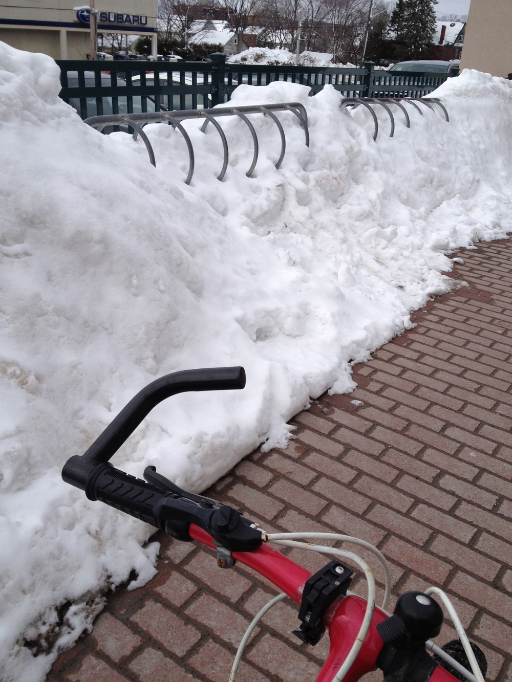
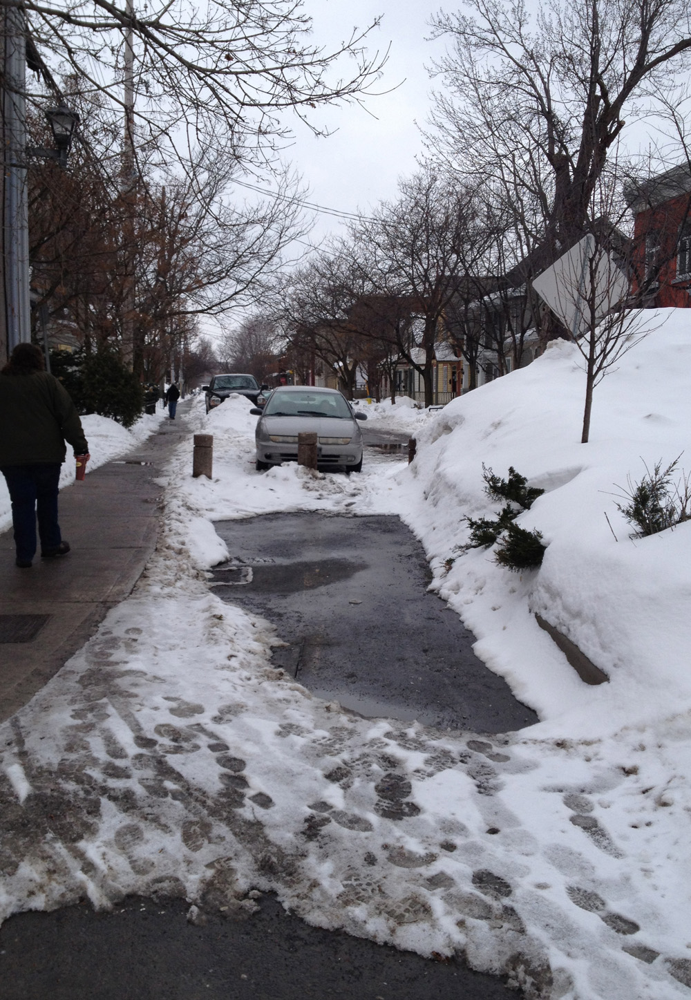
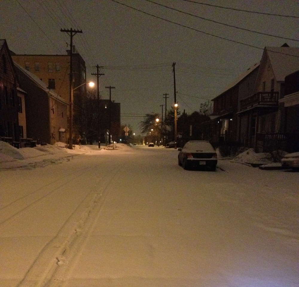
Riding through the winter includes experiencing lots of varied surface conditions – ie, slushy, icy, snowy, dry, etc. The sweetest surface for an early morning ride (6 a.m.’ish) is after a light overnight snowfall with an accumulation of an inch or two, preceded by a few days of dry weather. At that hour the snow plows haven’t done their rounds on side streets, making for a heavenly ride.
The tour joins the Laurier Bike Lane at it’s western end. By 6 am the city usually has it cleared and salted.

The bike lane ends at Elgin, replaced with sharrows painted on the edge of Laurier Street. The usefulness of sharrows are questionable in the best of conditions. In the winter these ones are often covered in snow, forcing cyclists into traffic at this terrible corner, so if there’s any traffic I suggest walking your bike half a block to the plaza in front of City Hall and ride along the path to Cartier St on the other side of City Hall. (UPDATE Sept 2014 – the Laurier bike lane has been extended between Elgin and the bridge over the canal. Here’s hoping it will be plowed. Stay tuned!).


Continue along Cartier St to Somerset St. Turn left on Somerset and cross the pedestrian/bike bridge over the canal. Get on the path along the canal and head south away from downtown. The NCC does a great job clearing the paths on either side of the canal. They had yet to get to them in time for this outing, but a light accumulation over a dry surface is just the way I like it.

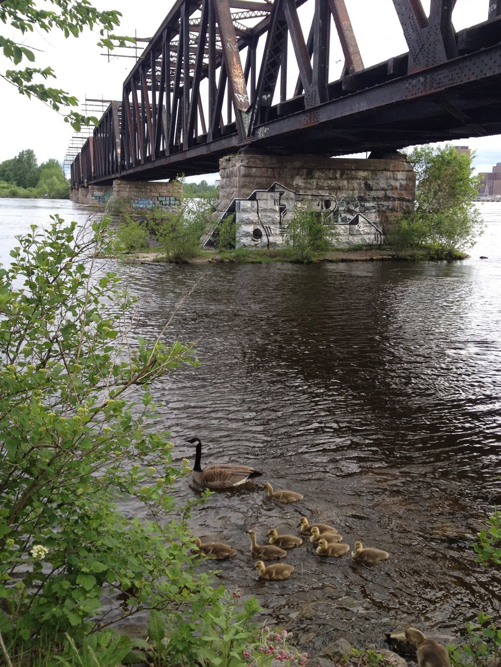
Push your bike over the canal locks at Carleton University.

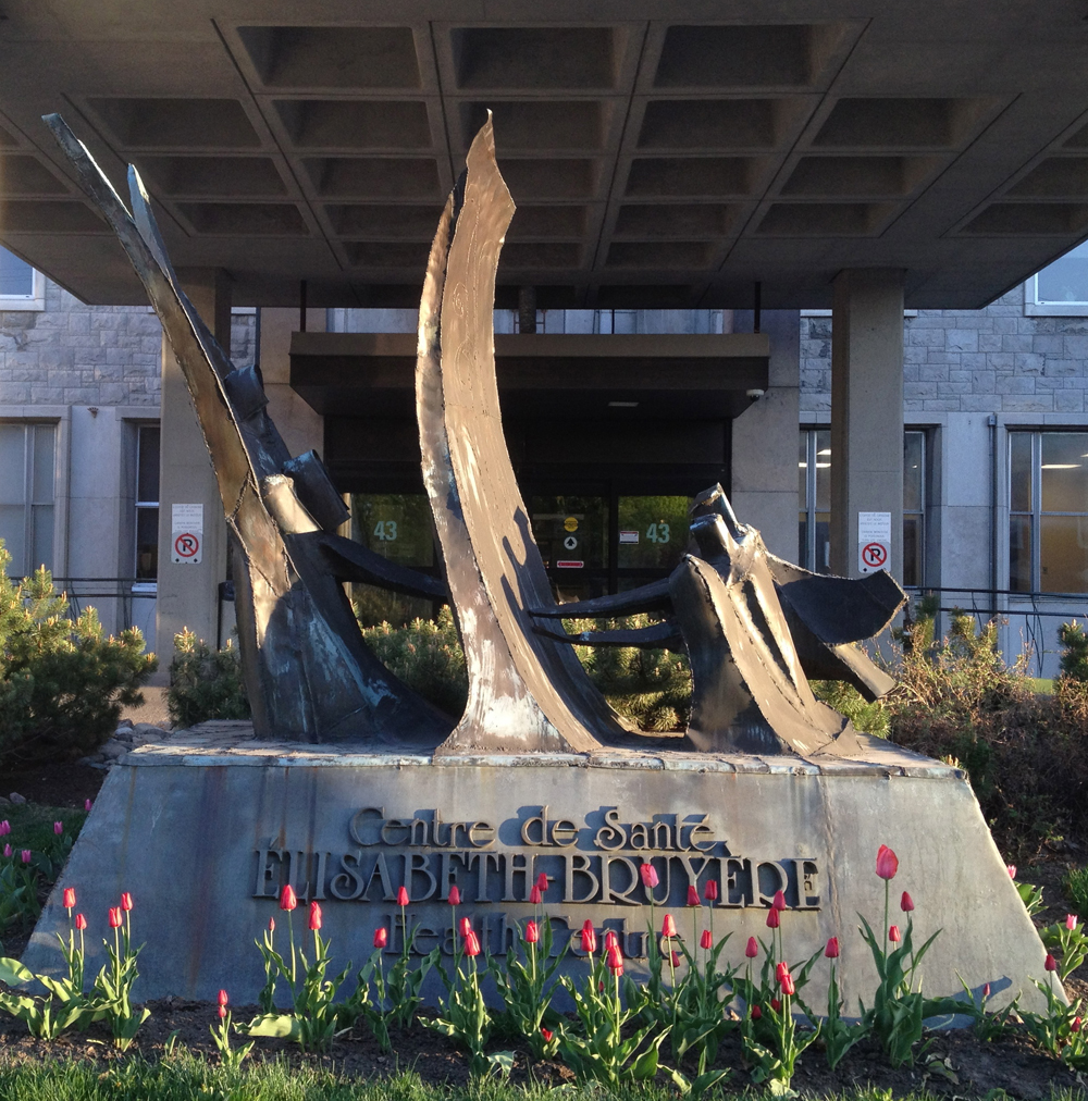
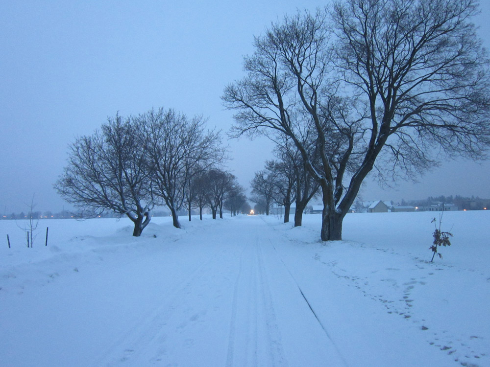
Cross Prince of Wales and ride through the Experimental Farm down to Prince of Wales and Preston Street.
To avoid riding along Preston Street and Carling Avenue, cut through the park along the path north of Dow’s lake to Booth street. This path isn’t cleared but it is so well trodden that it is usually rideable. Worst case you may have to dismount and push your bike to Carling and Booth. Ride along Booth St and turn up Arlington just after going under the Queensway. Continue along side streets to Cambridge.
For a longer ride you can continue on the cleared path on the north side of the canal, as suggested by the red line on the map.
Et voila! Hopefully the city and NCC will expand on snow clearing initiatives along existing paths, such as the Laurier Bike Lane and Rideau Canal Pathways, for more safe and wonderful riding in winters to come.