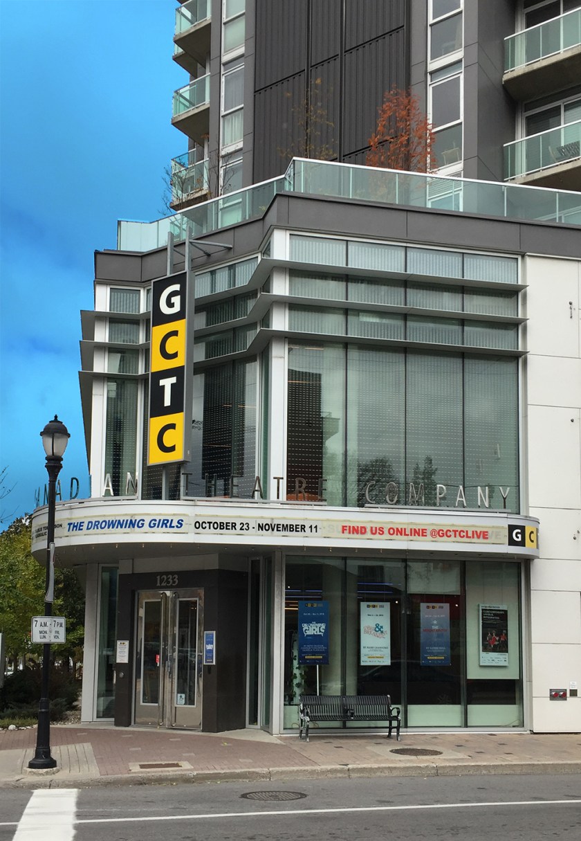
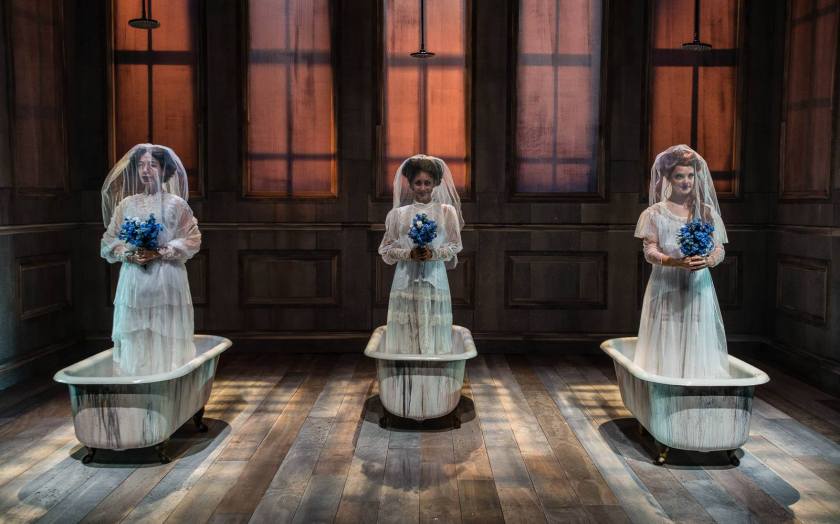
The Great Canadian Theatre Company (GCTC) , located in the wonderful Irving Greenberg Theatre Centre at the corner of Holland and Wellington, is Ottawa’s largest professional, independent theatre. The second show of the 2018-19 season, The Drowning Girls, runs from October 23rd to November 11th, 2018. UPDATE: November 12th, 2018 – The Drowning Girls run has come and gone but there’s lots more theatre where that came from! If anyone needs a different bike route to the GCTC other than the one described below, send me a start cross street and I’ll figure one out.
The blue line on the attached map indicates a bike route patrons can follow to get to the GCTC from the Central Park neighbourhood located south-west of the theatre. This route may also serve riders arriving from points further west along the Experimental Farm Pathway as far as Woodroffe Avenue, as indicated by the pink line.
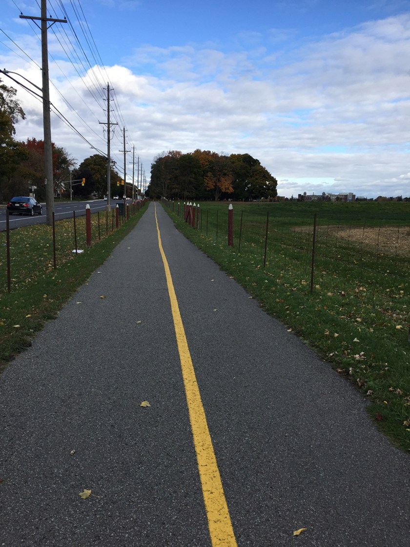
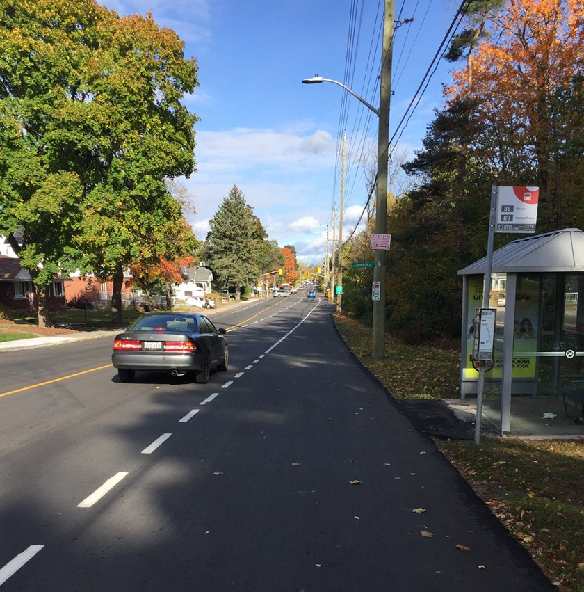
From our starting point we head east along the Experimental Farm Pathway between trees and houses before crossing Merivale Road at the lights.
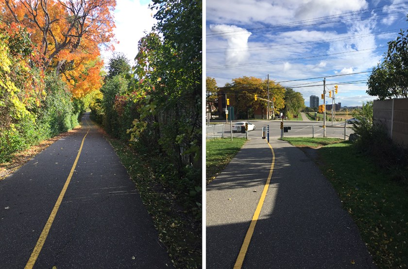
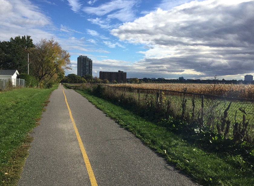
The path then continues downhill past corn fields on the right towards Fisher Avenue.
The crossing at Fisher is a little convoluted as the lights are located a short distance south. Unofficial bi-directional bike lanes have recently been added along the west side of Fisher to get to the crossing.
Once across Fisher the Experimental Pathway heads north.
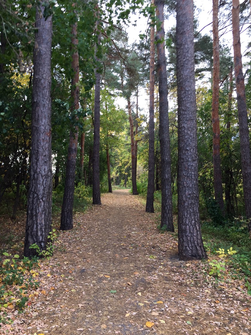
The path then takes a sudden turn east. To continue north, exit the Experimental Farm Pathway immediately beyond the turn, onto a path of packed dirt that runs parallel to Fisher through a section of beautiful tall pines.

This path eventually meets the paved pathway running along the National Capital Commission (NCC) Scenic Driveway. Continue north along this path.
If it’s rainy the path through the woods can get a bit muddy. An alternative is to take the bike lane on the paved shoulder along Fisher to where it ends at Tunis Avenue. Turn right onto Tunis, then left along the NCC pathway.
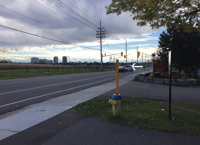
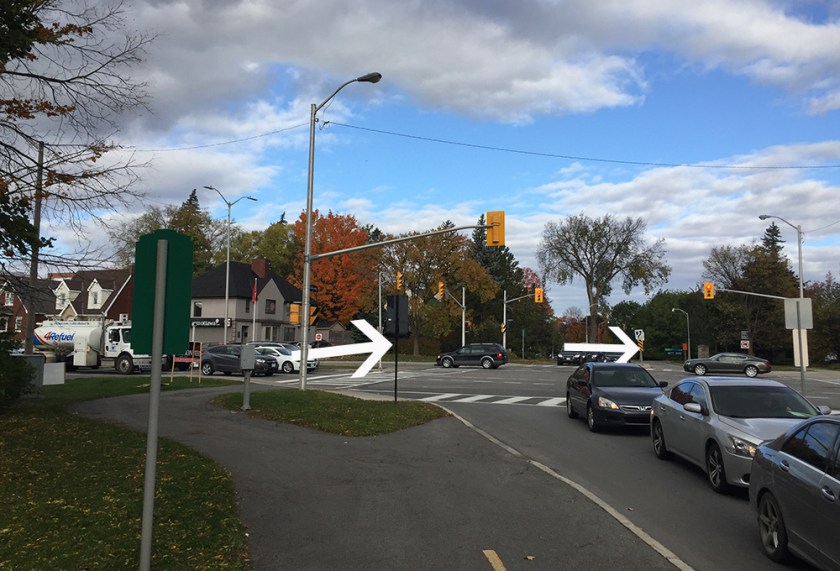
The NCC pathway crosses Fisher at some traffic lights, then ends a short distance further north at Carling Avenue. Cross Carling at the traffic lights, then again across Island Park Drive to get to the bike lane that runs north along Island Park Drive.
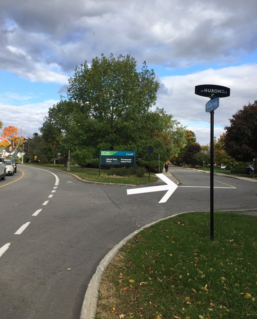
Follow Island Park for a short distance before turning onto Huron, just before reaching the big NCC sign.
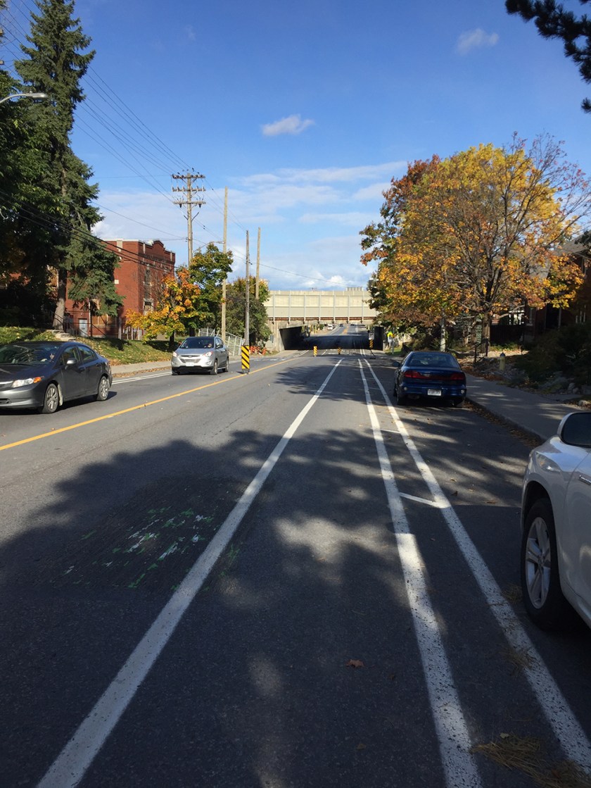
Continue north along Huron before turning right onto Kenilworth, both pleasant residential streets. Cross Holland Avenue at the traffic lights and continue along the bike path under the Queensway.
Cross Holland at the lights just north of the Queensway into the grounds of Fisher Park Public School.

One may be tempted to continue down Holland, versus crossing through the school yard to Harmer Avenue North, but the Holland bike lane disappears further north of and it all turns into a hornets nest of non-allgned intersections with cars and trucks jostling their way on & off of Holland. In two years one will be able to avoid riding along Holland entirely once the city has finished replacing the pedestrian/cycling bridge over the Queensway linking Harmer Ave North and South.
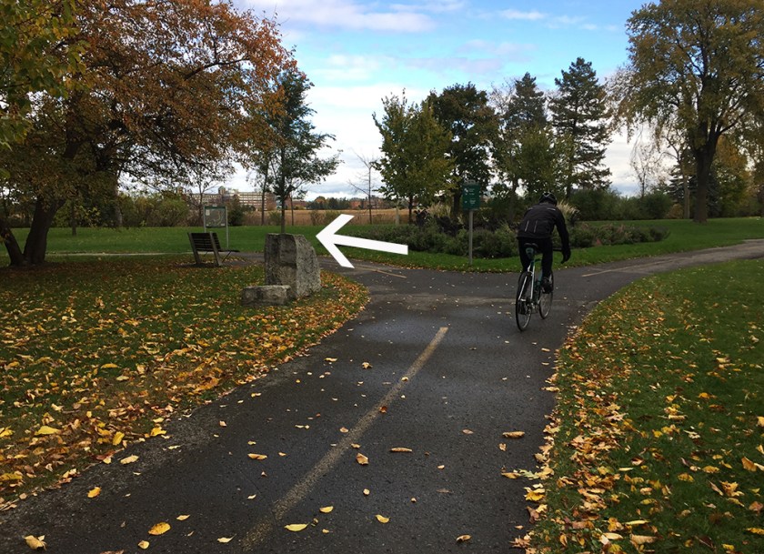
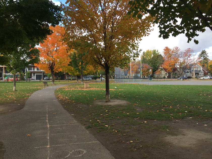
Stay to the right of the school and follow the path that circles the playing field, then exit onto Harmer Avenue.
Once arrived at Harmer on the other side of the schoolyard, continue north, then cross Byron Avenue to get onto the multi-use path.
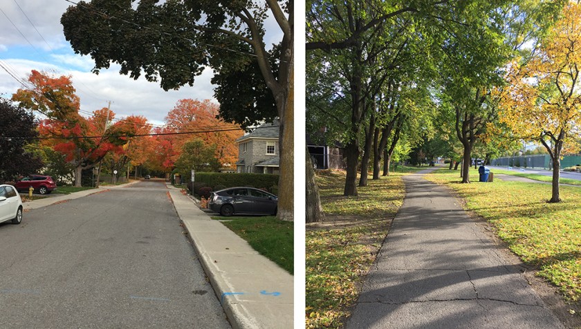
Ride along the Byron multi-use path 1 block over to Huron Avenue (another quiet residential street), then continue to the corner of Huron and Wellington where you will see the GCTC marquee one block to the east. There are a bunch of bike racks along the Wellington sidewalks between Huron and Holland. There are also a few racks along Wellington closer to the theatre.

Et voila!