
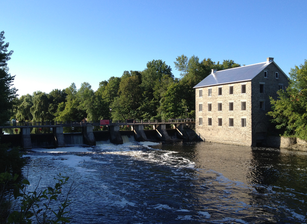
The community of Manotick is a great destination for bikers. It is located a comfortable 30 km or so up the Rideau River from downtown Ottawa. The Village of Manotick was founded in 1859 by entrepreneurs Moss Dickinson and his partner Joseph Currier when they constructed a gristmill on the shores of the Rideau. Their well preserved and still functioning mill remains a symbolic focal point for the community in their attempts to preserve its small town character. Choosing a safe bike route to Manotick and back can be a challenge, so early last Sunday morning I set out to do so. Here’s what I came up with – blue line on the map below is how I got there, red line’s how I made it back. While plotting my route I leaned heavily on two other intrepid bikers who scouted out the journey to Manotick before me, and wrote about it here and here.
Early Sunday morning is a good time to ride along Prince of Wales Drive heading south. There is a generous shoulder to ride along for most of the way and few vehicules. During the week the ride is much less pleasant with a lot more traffic using it as as a major commuter artery into town, big trucks included.

The city has done a fine thing by removing the concrete protrusion that used to stick out from the edge of the road at the Hog’s Back intersection. Before bikers travelling along the shoulder of the road were suddenly obliged to merge into traffic. This fixes that.
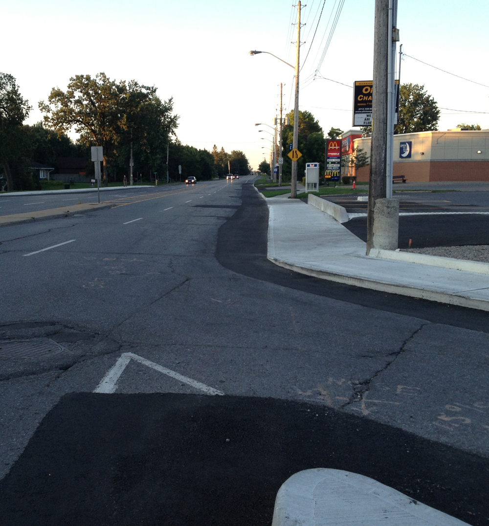
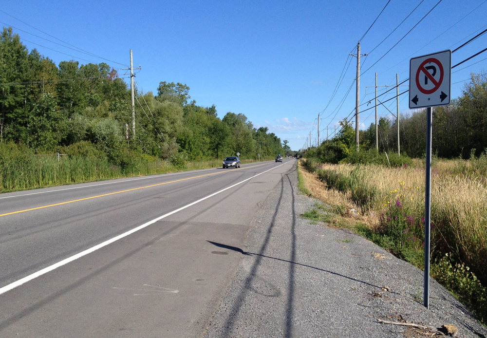
Unfortunately the problem persists at all other intersections between Hogs Back and Fallowfield Road, the worst instance being the approach to Rideau Heights Lane where Prince of Wales takes an uphill turn, providing little chance for overtaking traffic to notice riders. I rode off the road onto the well worn gravel path shown below. This worn path’s existence is indicative of how much this corner is a safety problem for bikers and pedestrians.

So, be extra careful wherever Prince of Wales meets another street. Otherwise, enjoy the scenery, like this interesting old dead tree.

I’ve heard that Prince of Wales from Fallowfield Road to Manotick is pretty treacherous so I avoided it by riding along residential streets and a wonderful stone dust path through the woods. Here’s how. First, turn off Prince of Wales onto Fallowfield. It has a generous bike lane, as does Merivale Road, onto which I turned and headed south.
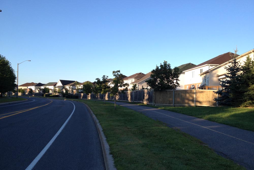
Leave Merivale and turn onto Leikin Drive, along which there’s a generous shoulder AND a recreational pathway to choose from, like so.
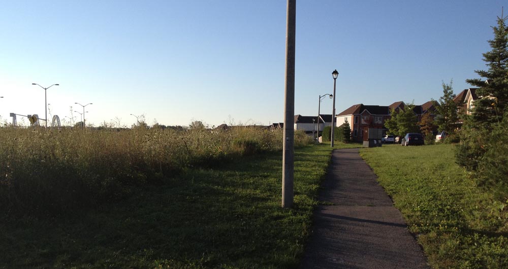
Leikin turns into Cresthaven Drive and the bike lane disapears, but the ride is through residential areas which have very little traffic on Sunday mornings. Cross Strandherd, and turn onto a path that runs alongside heading east like so.
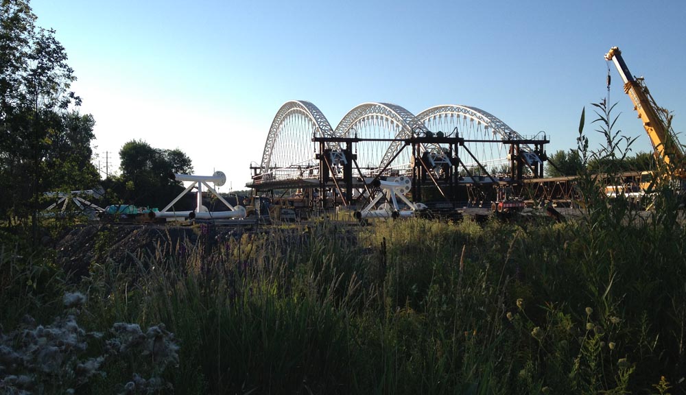
This will alternate between short stretches of paths and streets until you get to Bakewell Crescent. The Strandherd Bridge across Prince of Wales is still being constructed, so I went and took a closer look. Pretty amazing structure. UPDATE– July 2014: The bridge is completed, and it’s pretty impressive! I test rode it shortly after it opened and described it in this post.
Follow Bakewell Crescent to Rocky Hill Drive, which crosses Prince of Wales to Lodge Road. Very pleasant little street, with the Rideau River on one side, and the Carleton Lodge Long Term Care Home on the other, which must hold the title for the most eclectic collection of birdhouse architecture in the region.

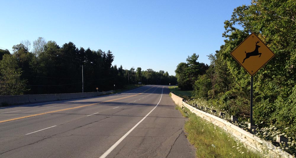
To get over the Jock River one has no other choice but to get back on Prince of Wales Drive. Fortunately there is a shoulder along this stretch, like so.
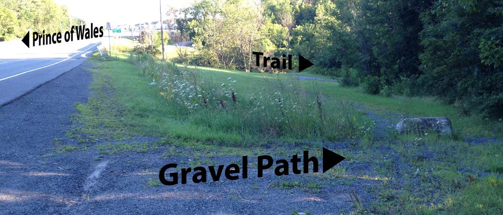
Once over the bridge there is a gravel path on the Rideau River side that takes you down to a trail which you will need to cross over Prince of Wales to get to, like so.
The trail weaves its way through woods and over little streams flowing to the Rideau River.

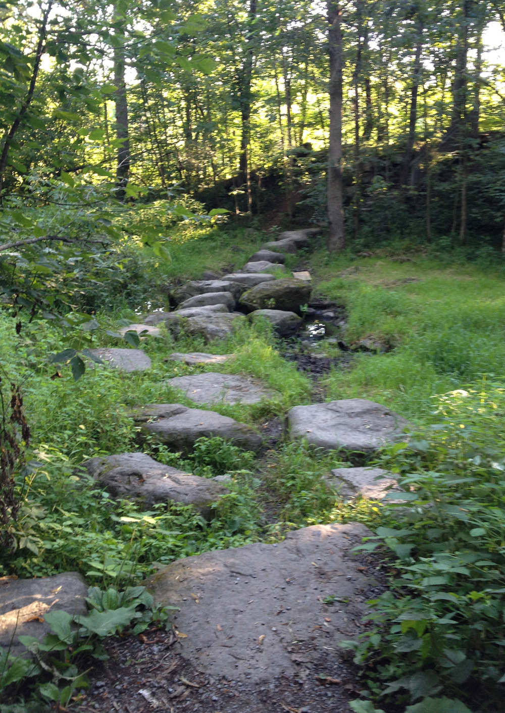
At one point the path splits. There aren’t any directional signs so I chose to veer left along the river, which led to this series of flat faced boulders strategically placed to help get across a brook. It was very easy to negotiate carrying my bike, however if this seems inconvenient (trailer pulling, loaded panneirs, etc), the map suggests that, by following a path to the right towards the Rideau Valley Conservation Authority building, you can avoid this zen garden-ish method of river crossing. But I’m not sure, didn’t check. My apologies.
Eventually the trail comes out at Lockview Road. For a more detailed description of the trail just travelled, albeit heading in the opposite direction, click here.
I then rode along Barnsdale Road to get onto Long Island, which sits in the middle of the Rideau River.
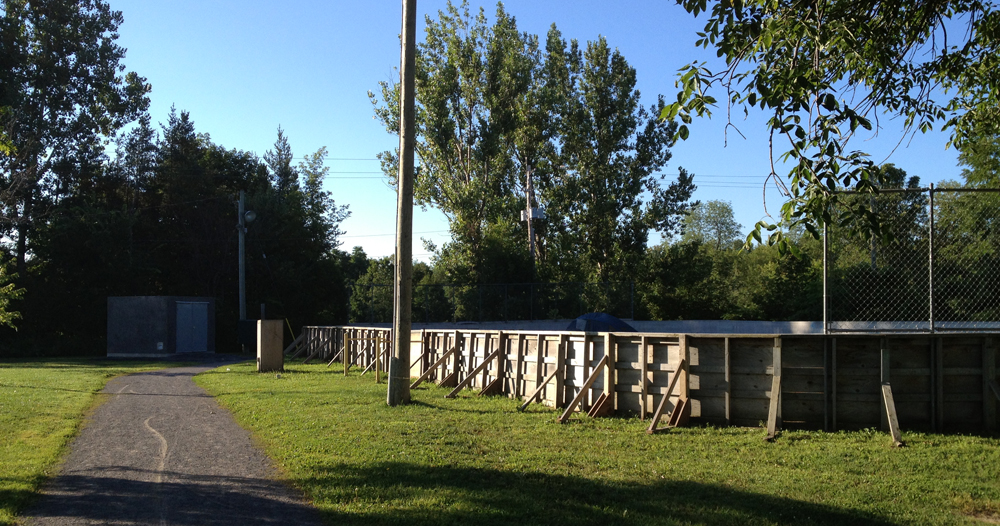
Turn onto McLean Crescent, until you reach a path that takes you through George McLean Park. You’ll recognize it by the hockey boards all up and ready for next season.
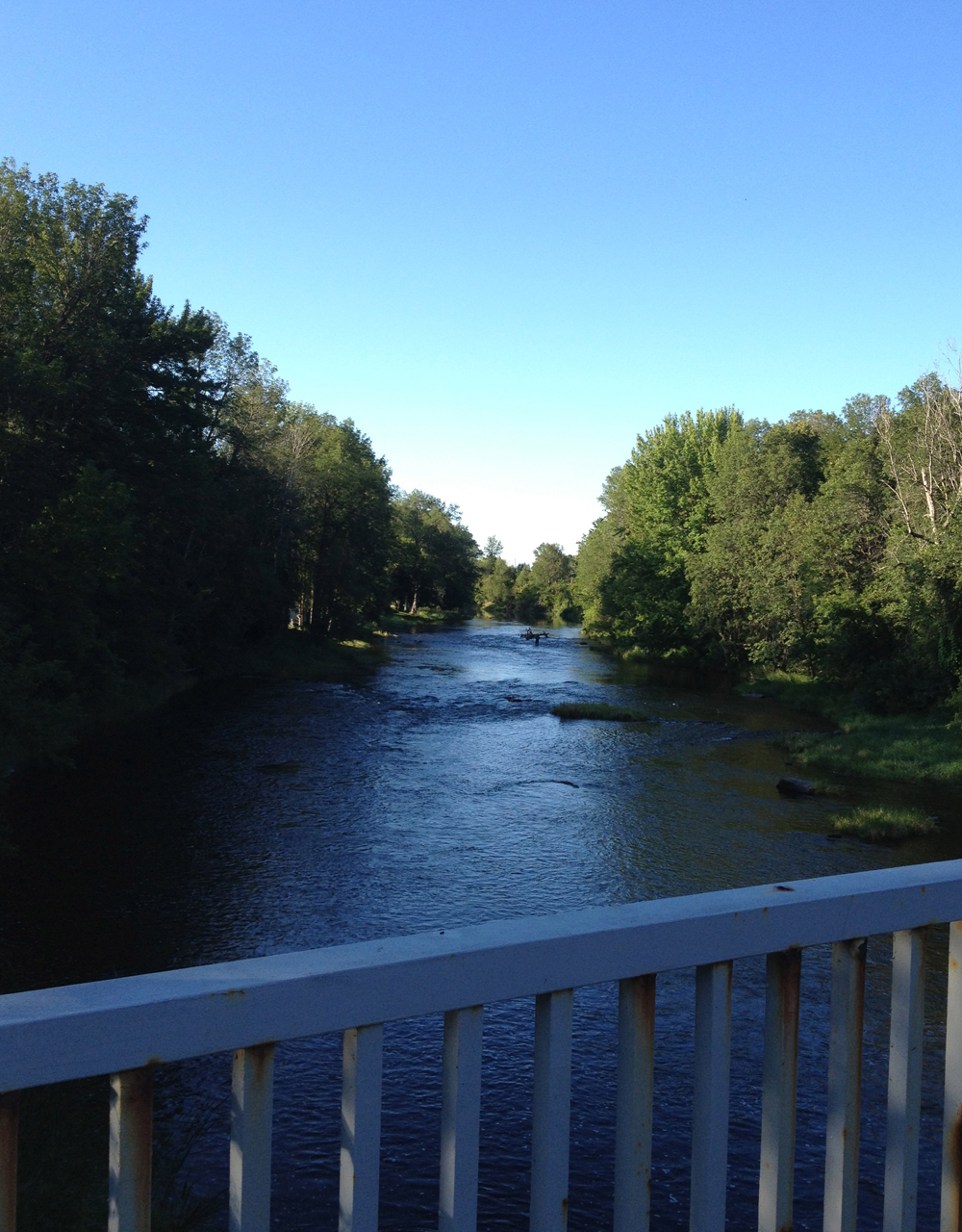
Once through the park carry on along West River Drive and cross Bridge Street on into AY Jackson Park, named after one of the Group of Seven painters who lived in Manotick for a spell. Ride on down the path to the great lookout over the river towards Watson’s Mill. Et voila – made it to Manotick!
Time to head back to Ottawa on the east side of the river, but before doing so I explored the southern tip of Long Island, which is mostly residential with a mix of big bushy trees, like so.

Then over to the north-east shore via Bridge St. As you can see it was pretty busy even on a Sunday morning. Cars also tend to speed over this bridge, so, depending on the amount of traffic, you might consider walking your bike along the sidewalk.

Bridge Street becomes Mitch Owen Drive. It’s got a shoulder, but it’s got lots of fast traffic too.

I prefer roads with less traffic even if they are shoulder less, so I turned up Spratt Road.

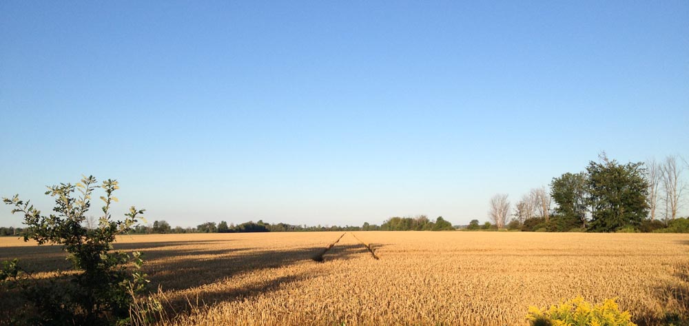
The above photo is also the intersection where I turned east onto Rideau Road, which is similar to Spratt Road in terms of surface quality, amount of traffic and farmland scenery. I Continued along Rideau Road until Bowesville Road where I turned north. Very nice road – not much traffic and excellent shoulders. AND, if your timing is right, you might spot a big metal low flying bird.

When you get to the end of Bowesville Road Where it crosses Leitrim Road you will be greeted by a chain link fence topped with barbed wire and no access signs. Fear not! There’s an inconspicuous access point right where the arrow is pointing for cyclists and pedestrians to get through.

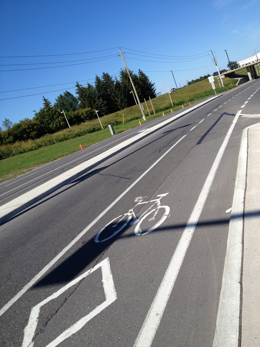
Once you’re through, follow the road around the airport. The Uplands Drive intersection and stretch to the Airport Parkway was a bit confusing and felt like a freeway off ramp. There is a generous bike lane along Uplands that takes you under the Airport Parkway, like so, but be extra careful as it crosses merging traffic lanes, and cars always seem to be rushing to and from the airport.
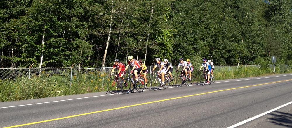
Once clear of the Airport Parkway, Uplands is endowed with great big shoulders like so, making it a pleasure to ride along.
It’s also very popular with the zip-zip set. This was the third pack that passed me heading in the opposite direction.
Now the next trick is finding a safe way to the recreational path along Mooneys Bay, which primarily means avoiding riding along Hunt Club Road, Riverside Drive and Walkley Road, all very busy, not very bike friendly roads. Here’s how: Continue along Uplands across Hunt Club. Turn right on Cahill Drive West and then left on Twyford Steet. Than cut through to Annapolis along this short path.

Turn left on Annapolis, left on McCarthy, left onto Southmore Drive West and finally left on Fielding Drive for just a short distance until you reach a short path on the right like so.

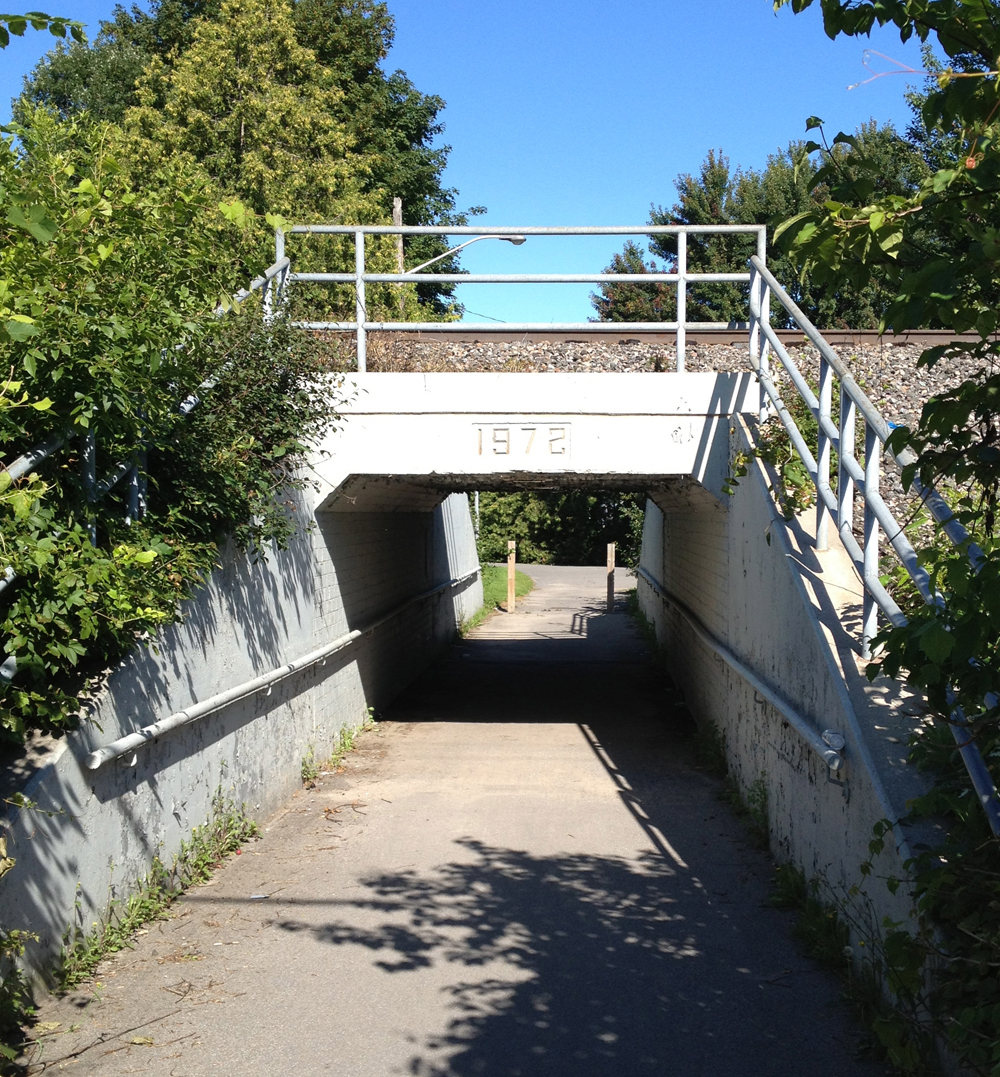
It takes you under the train tracks through to Otterson Drive.
Shortly after Otterson Drive curves left there is another short path like so….

Which takes you through to the Riverside United Church Parking lot.

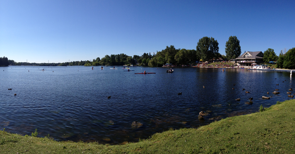
Cross Riverside to the path that takes you through Mooneys Bay. Continue along the path, cross the bridge over Hogs Back Falls, and, if you wish, check out a regatta.
It being Sunday, there’s a good chance you’ll be able to bike right down Colonel By Drive which is closed for Sunday Bike Days. So there you go. A fine early Sunday morning ride to Manotick. Happy Trails!

Must try this route as my last trip out there along Prince of Wales and then back along River Rd were less than pleasant…..too much traffic and not enough shoulder! Thanks for the write-up!!!!
Thanks for the comment AND the plug on Facebook!