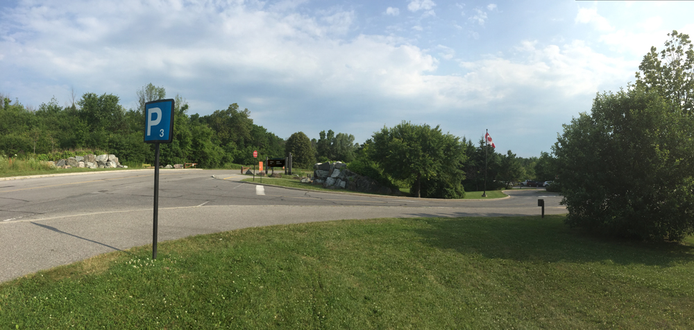
The Ottawa Centre EcoDistrict organized a great event to promote bike commuting, as well as hi-lite potential improvements to infrastructure that will further encourage cycling to work. Groups of riders started off from various locations around town and arrived at the final destination – City Hall, where the mayor and a number of city councillors were there to greet us. Our group of three started off from the intersection of Woodroffe Avenue and Richmond Road. Here’s the route we followed, along with observations for potential areas of improvement that we made along the way.
.
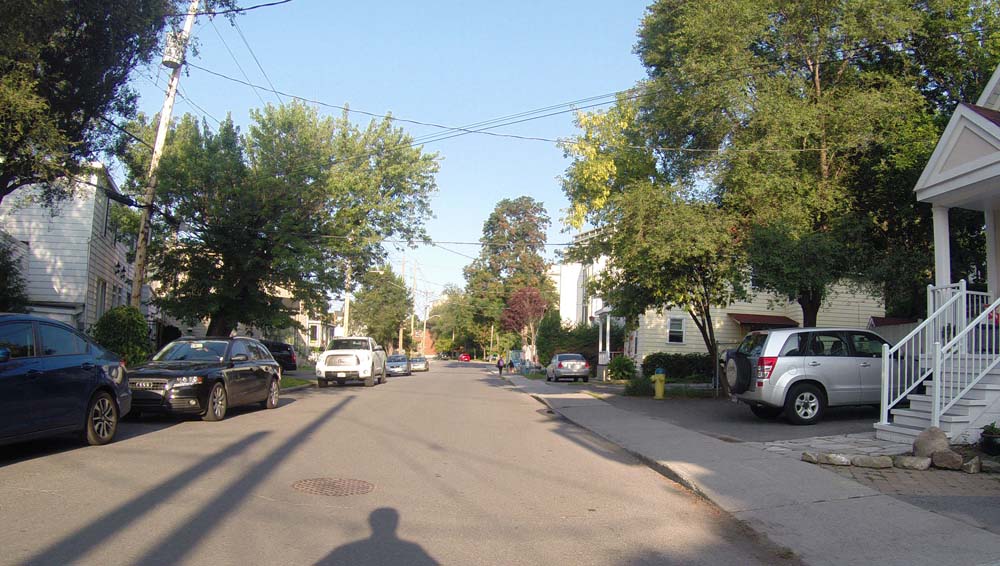
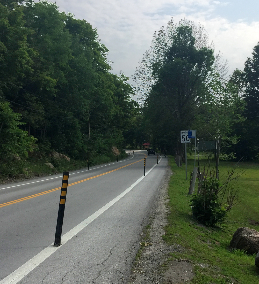
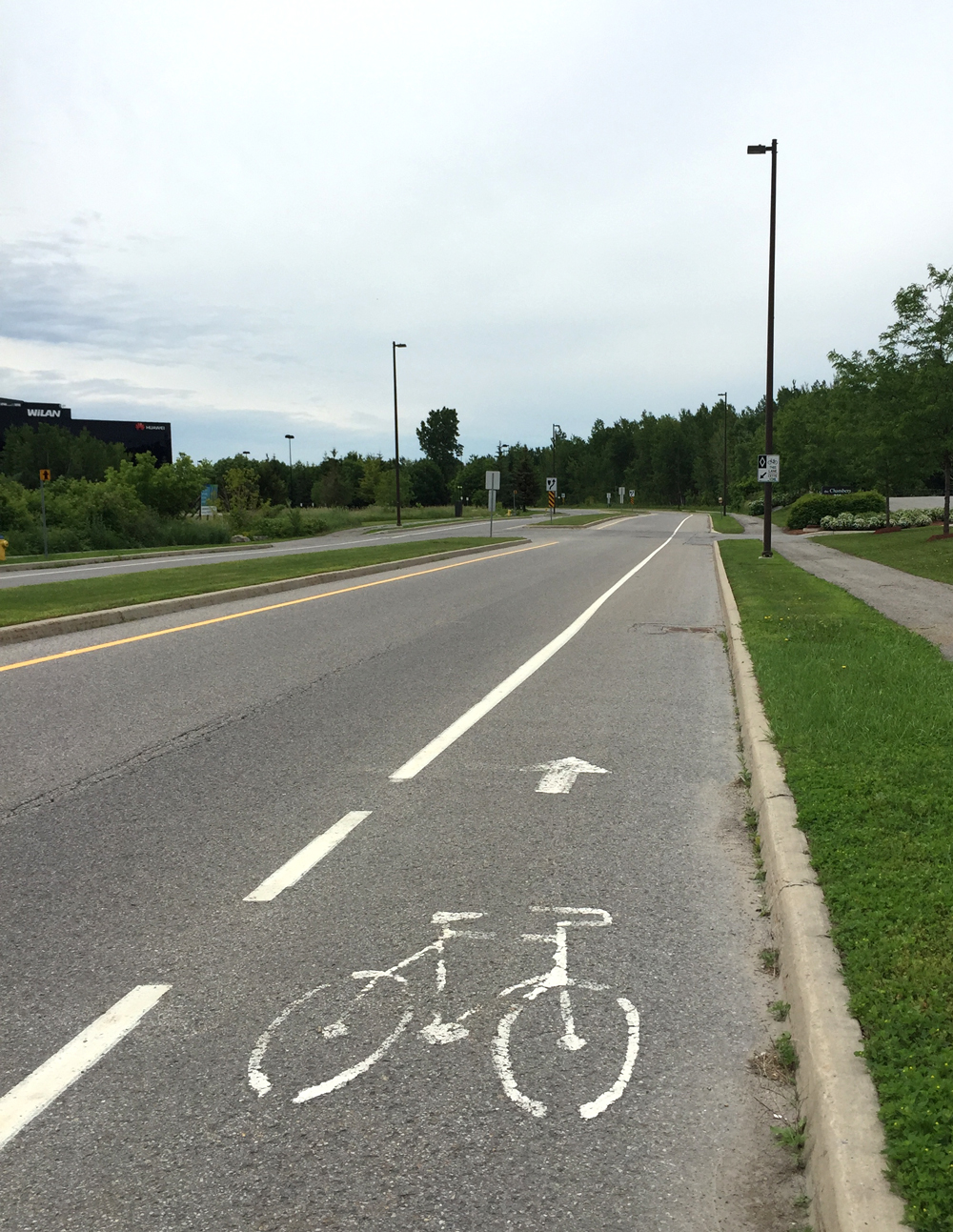
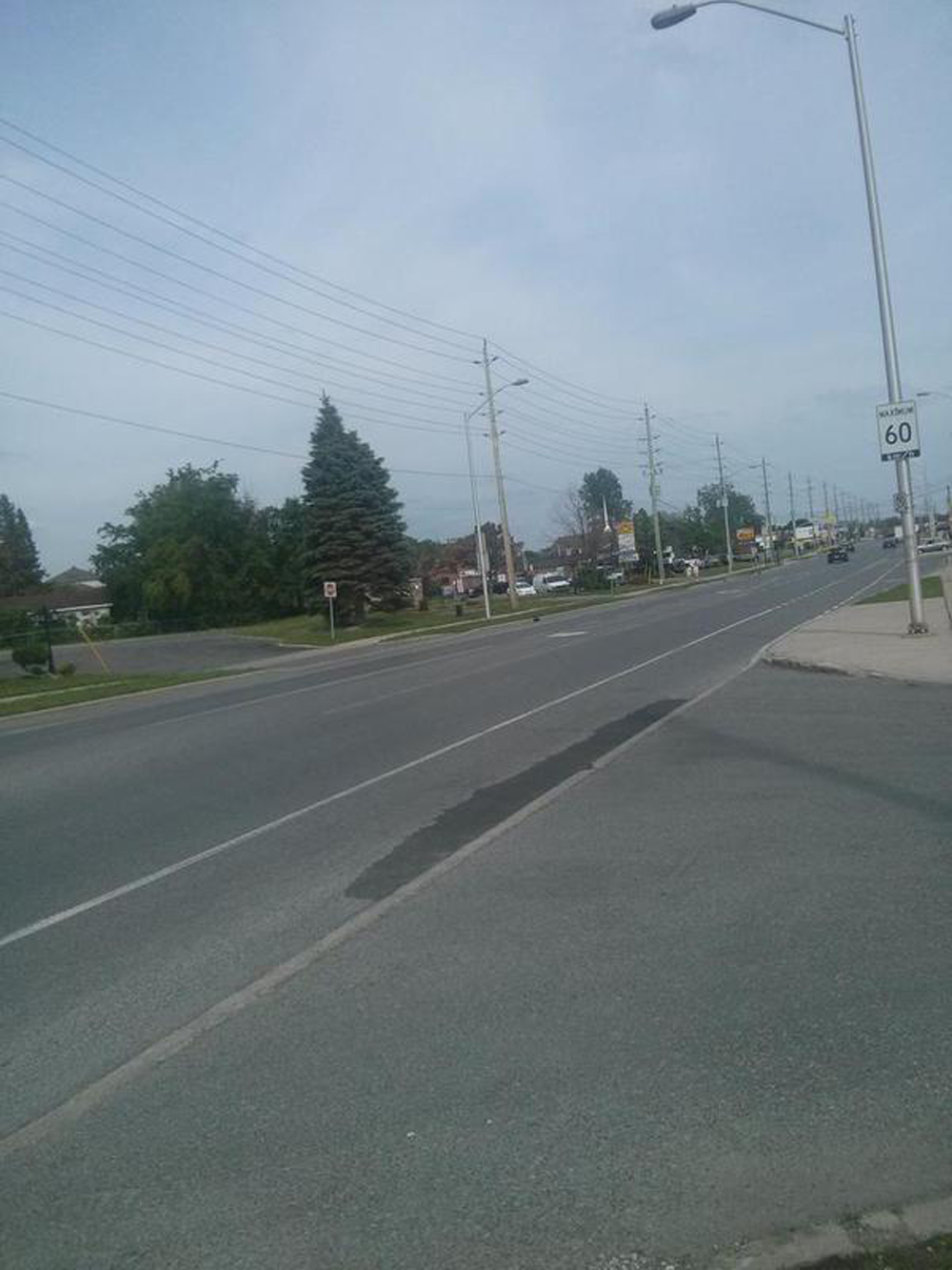
Byron Avenue runs parallel to busy Richmond Road. Richmond draws most of the commuter car traffic so we headed east along Byron.

There is the odd aggressive driver along Byron that many potential cycling commuters understandably prefer to avoid at all cost. An alternative solution would be to follow the shared multi-use path that runs between Byron and Richmond. One disadvantage of this path is that it starts 10 meters east of Woodroffe along a sidewalk that passes in front of a bus shelter. A solution would be for the path to start at Woodroffe extending behind the bus shelter.

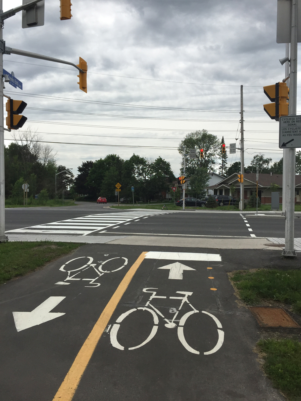
We continued along Byron, then turned left along Fraser Avenue and across Richmond at the lights.

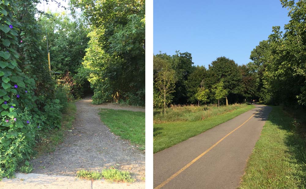
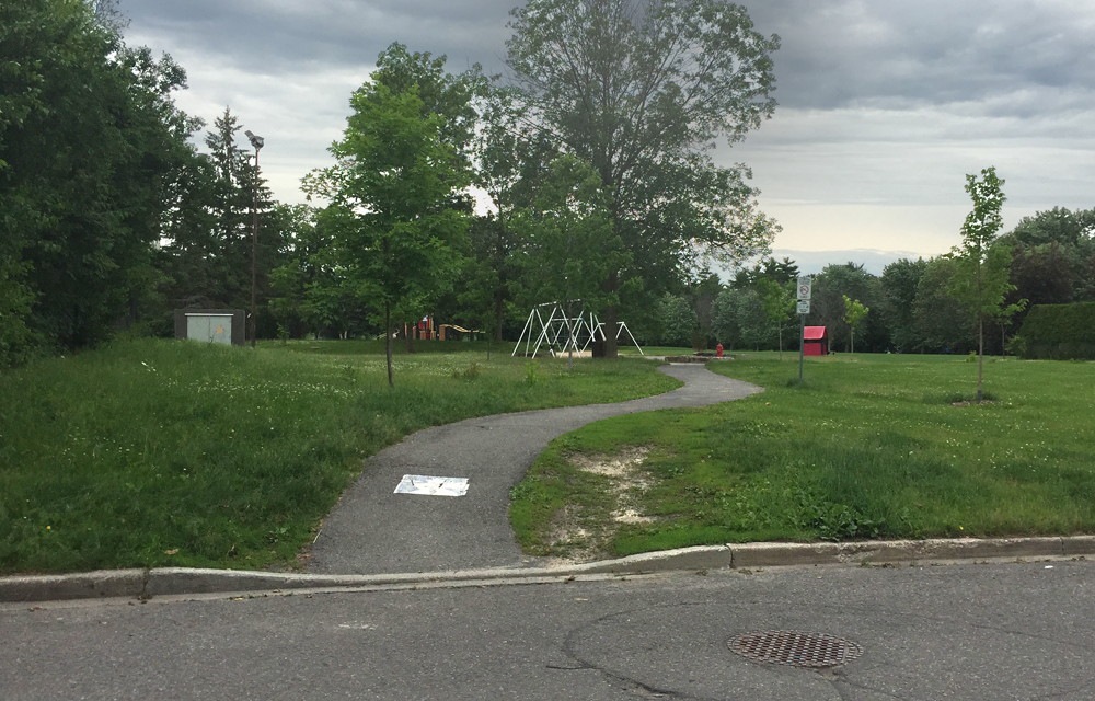
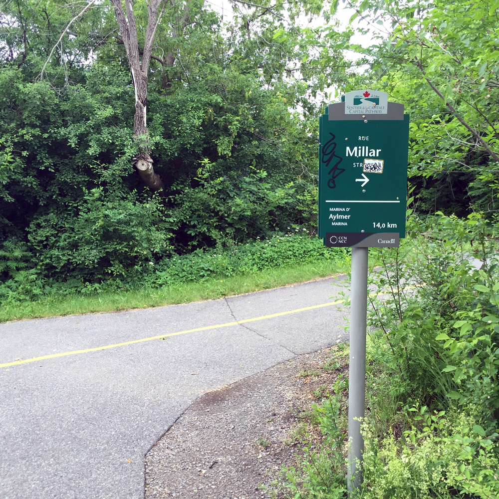
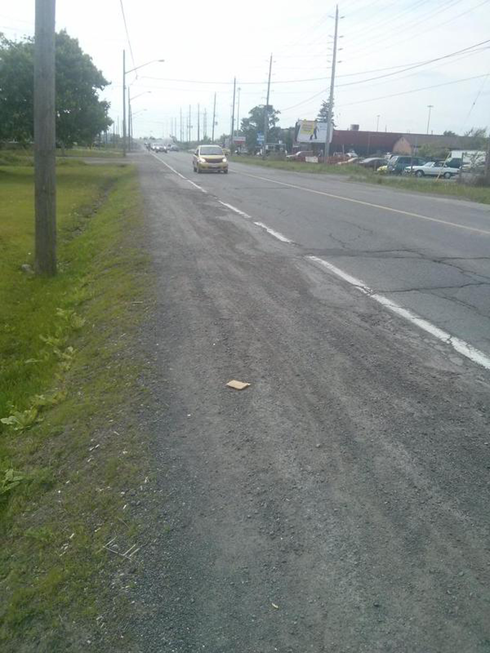
We rode to the end of Fraser, then one block back along Skead St to access the paved link onto the multi-use path that runs along the south side of the SJAM Parkway.
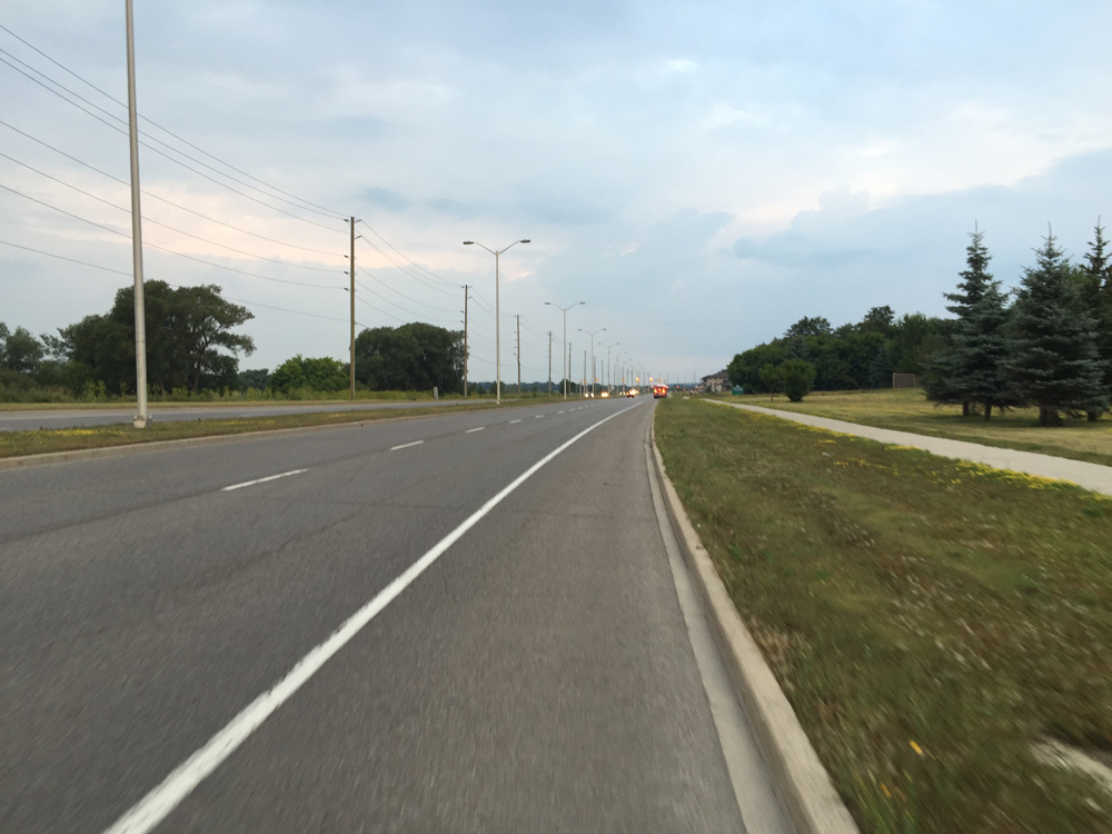
This path is poorly maintained. There are cracks that extend across it’s width every few meters creating a very jarring and uncomfortable ride.

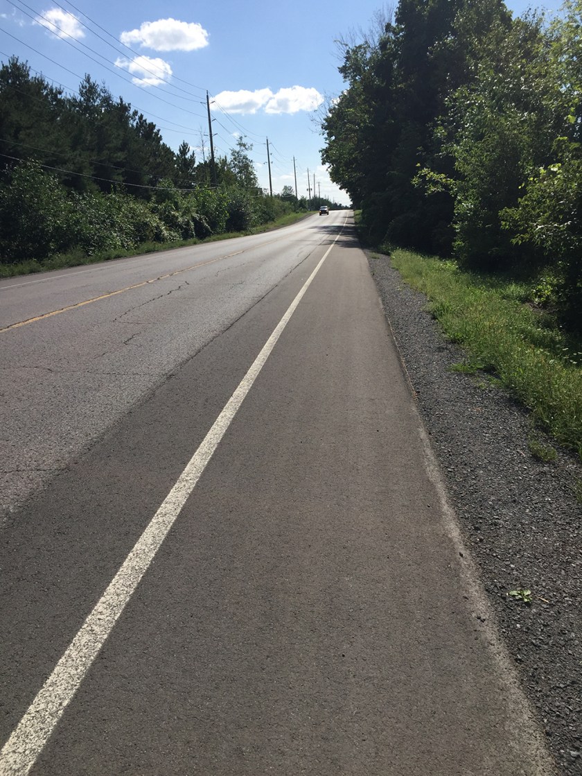
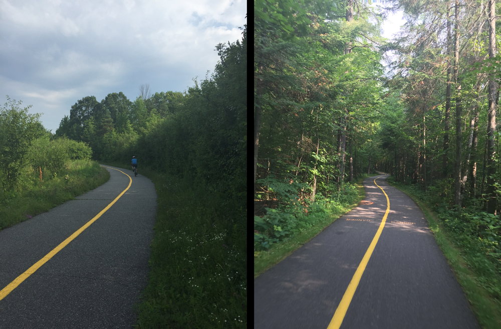
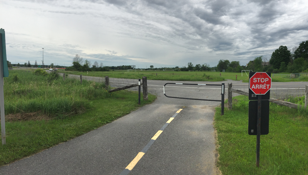
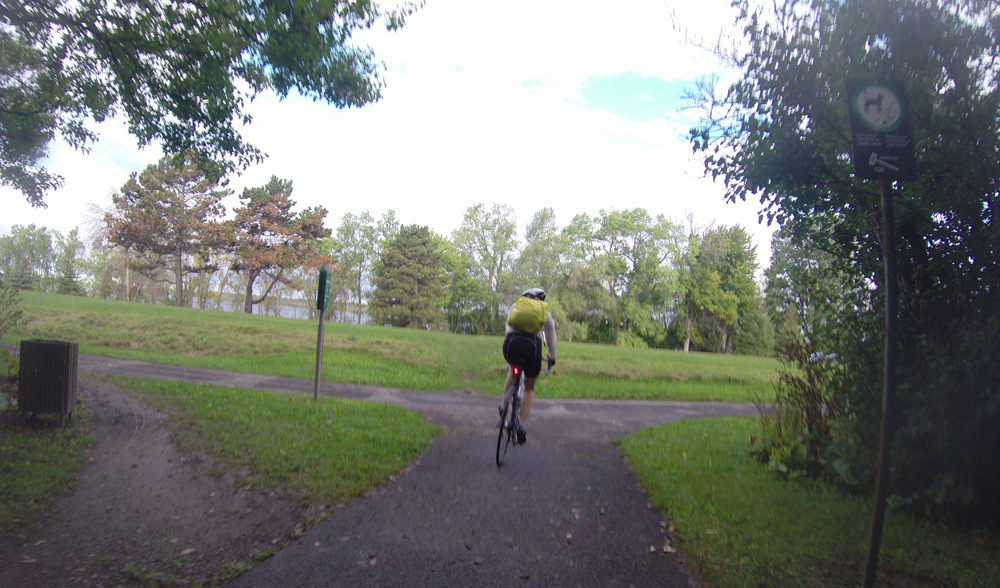
We rode along this path as far Westboro Beach where we crossed under the parkway to the much better maintained Ottawa River Pathway.
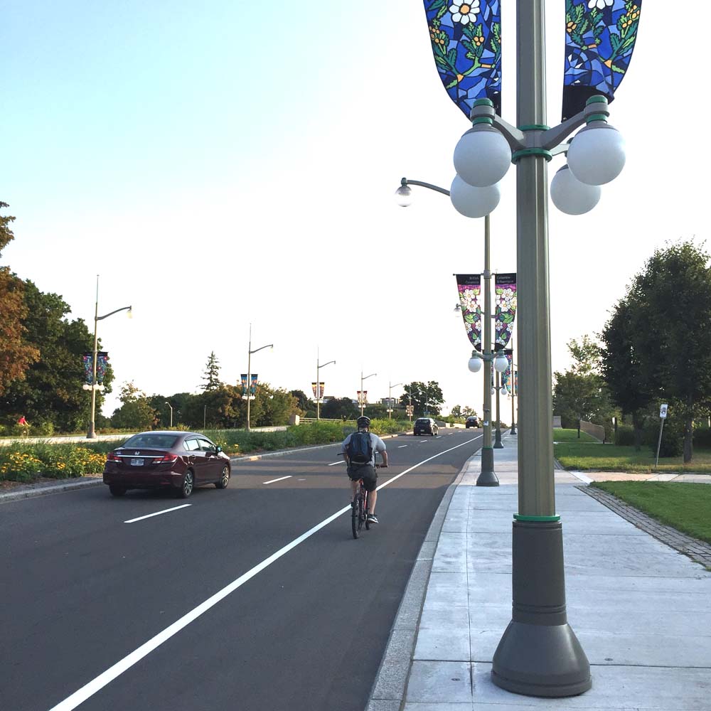
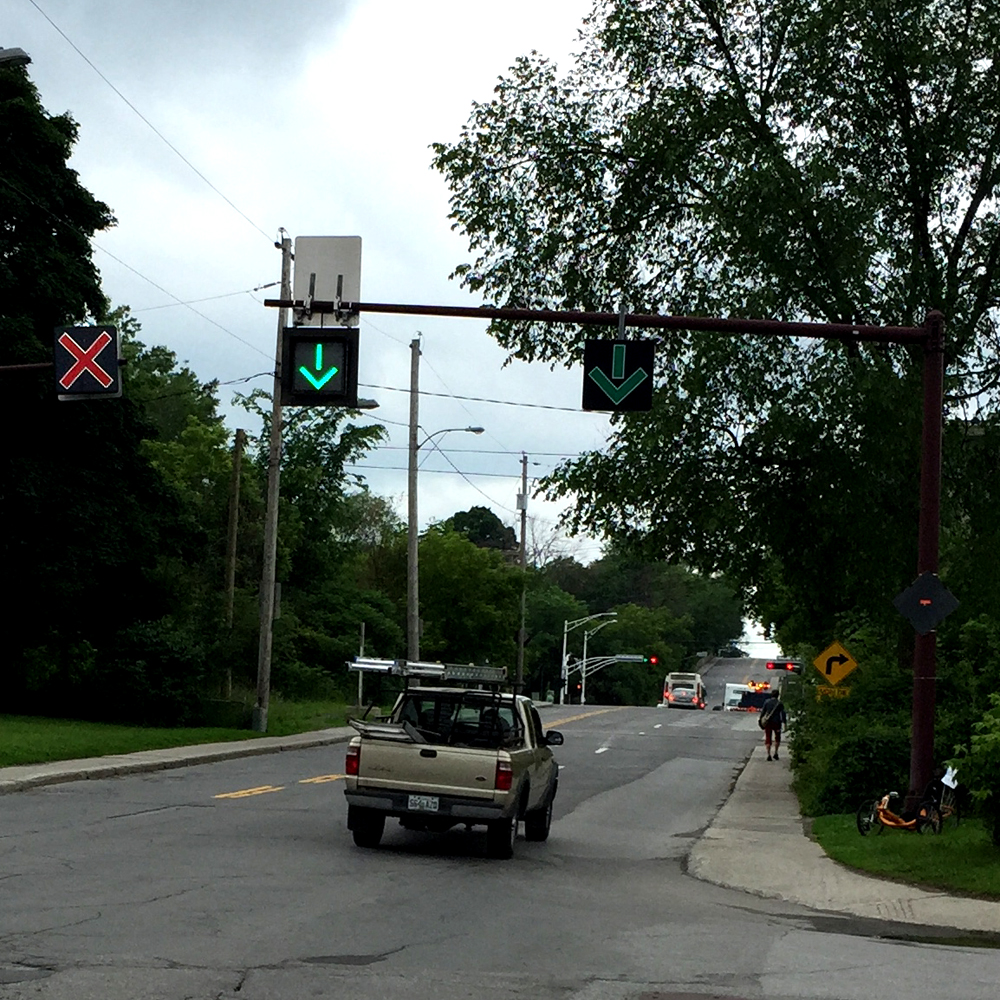
The crossing at River Street was noted as a potentially dangerous spot, identified by the red marker on the above map. The path takes a quick turn just before reaching this intersection. Cyclists who notice and take heed of the miniature stop sign are quickly overtaken by cyclists approaching from behind.
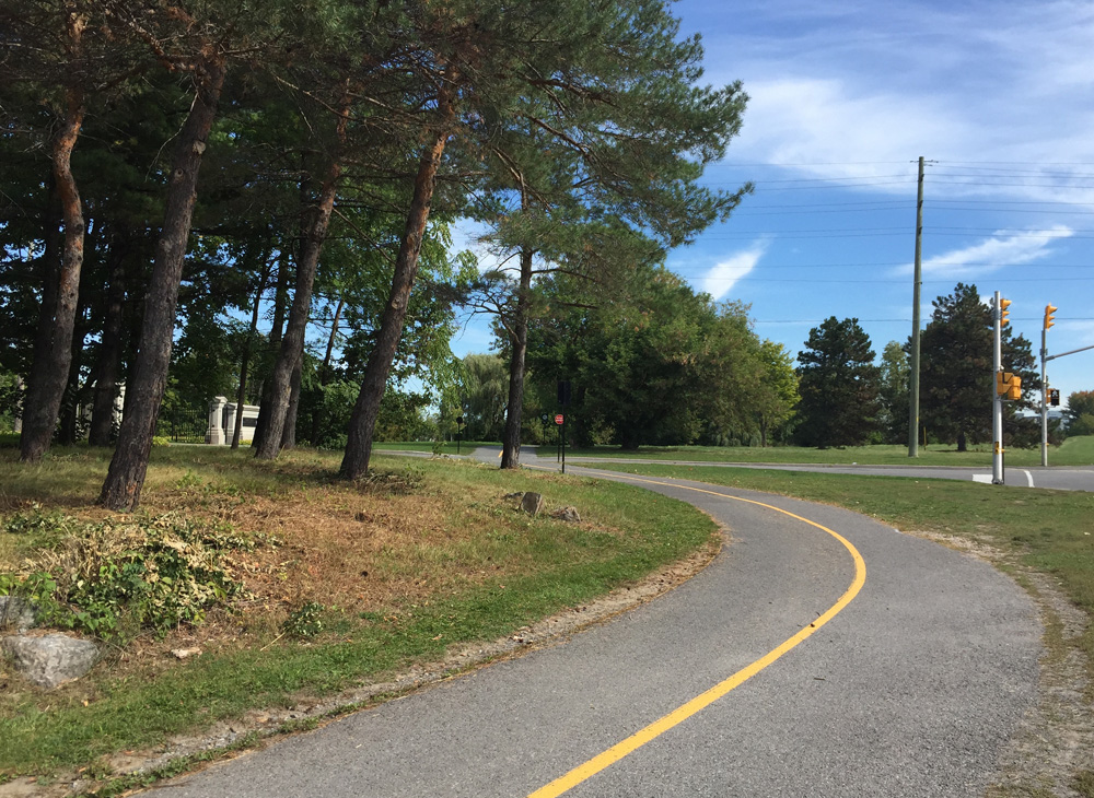
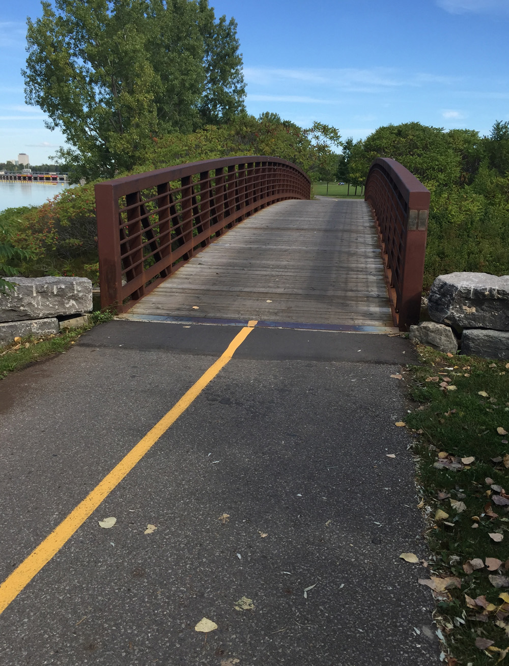
Good to see the gaps have been filled between the path and the ends of the small wooden bridge just to the west of the War Museum.
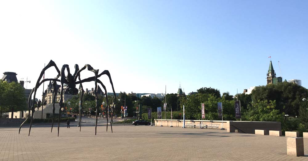
The rest of the ride was smooth sailing. We followed the path below Parliament Hill then up beside along canal before cutting through Confederation park to City Hall.
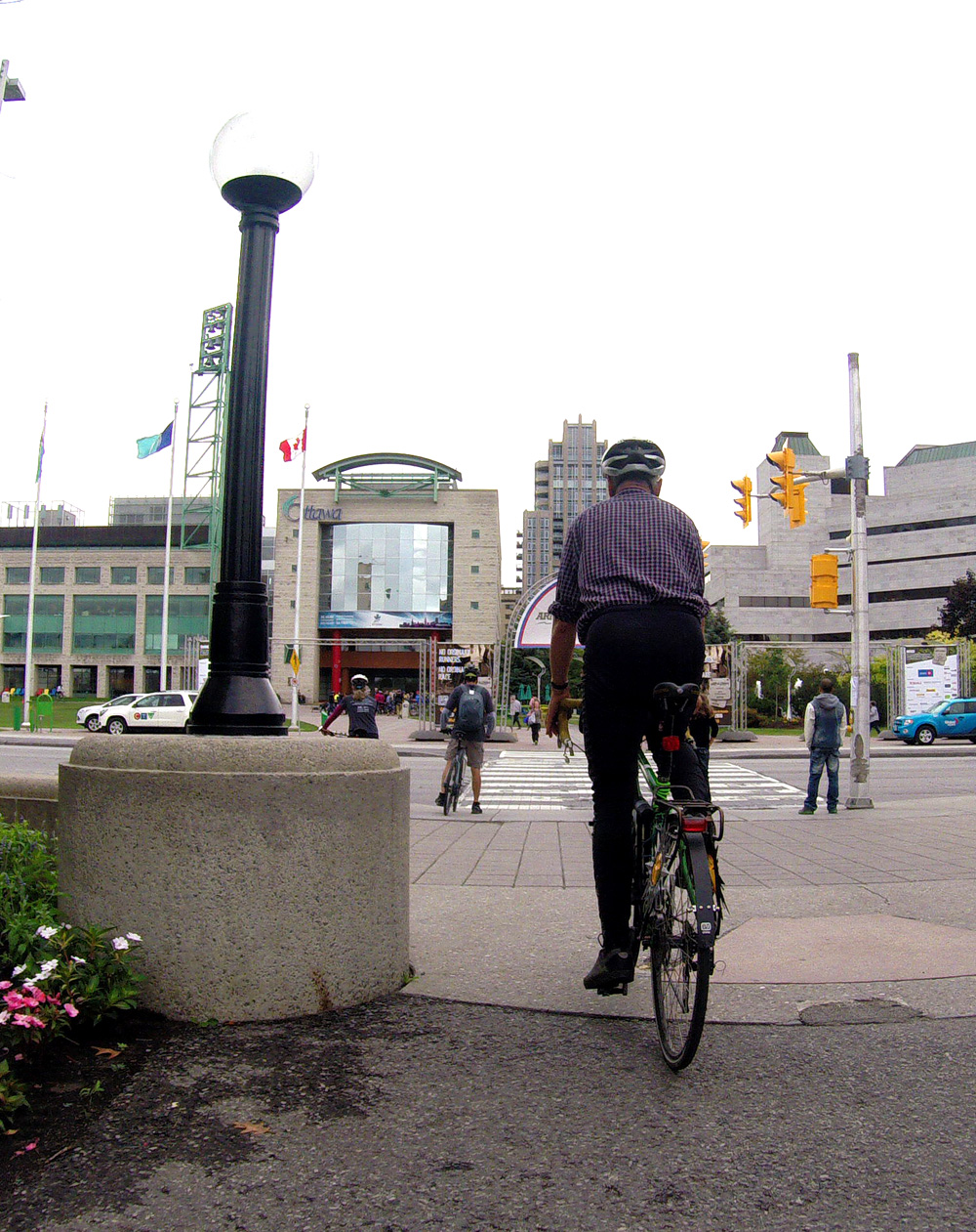
Kudos to the Ottawa EcoDistrict and their partners for organizing this great initiative, along with all the riders who participated!