The most amazing display of trilliums I’ve happened upon in our region can be found in a section of forest near the southern edge of Gatineau Park, and they are in full bloom right now! Here’s a bike route to get there.
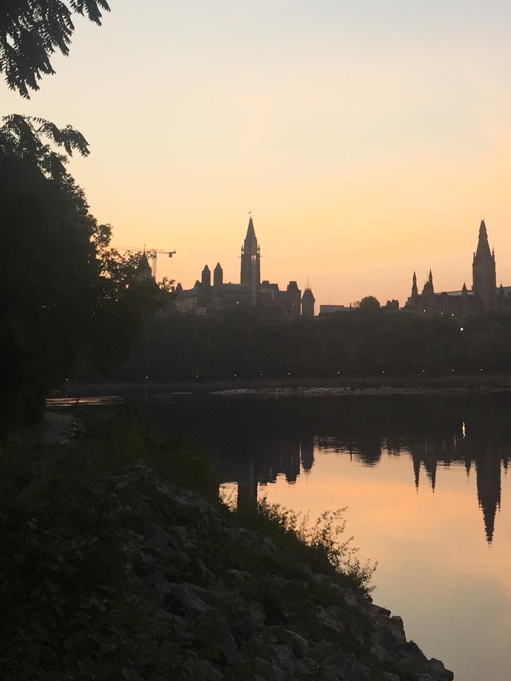
This ride begins on the Portage Bridge over the Ottawa River. The route travels along a combination of surfaces including paved pathways, roads, stone dust paths, and packed dirt trails through the forest.
If anyone needs a route to get to the starting point please let me know.

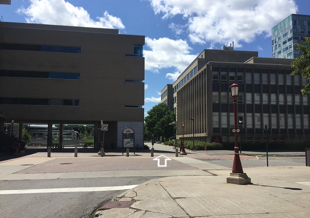
On the Gatineau side of the bridge follow Voyageurs Pathway by turning left under the bridge.

The path continues alongside Rue Laurier before veering closer to the river’s edge through Parc des Portageurs.

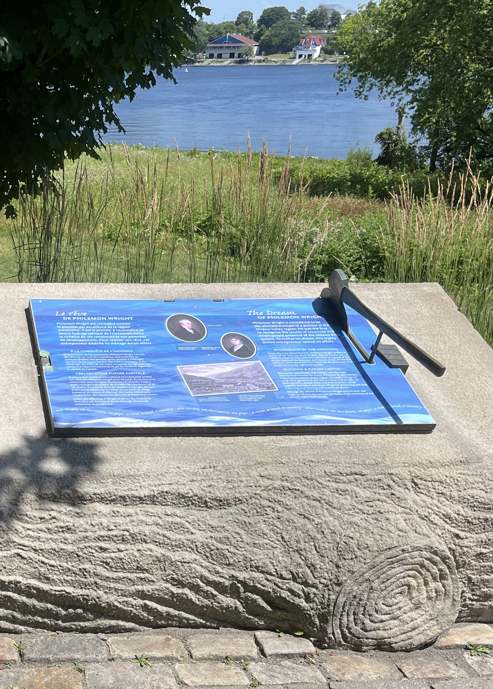
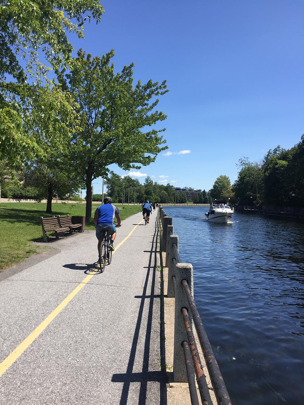
Continue along the Voyageurs Pathway which weaves up and down through trees with great views towards the Ottawa River. The path is named after the Voyageurs who portaged their canoes past this section of rapids.

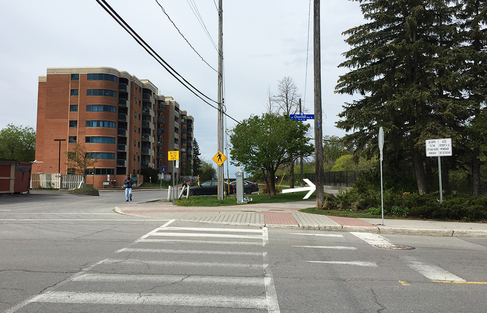
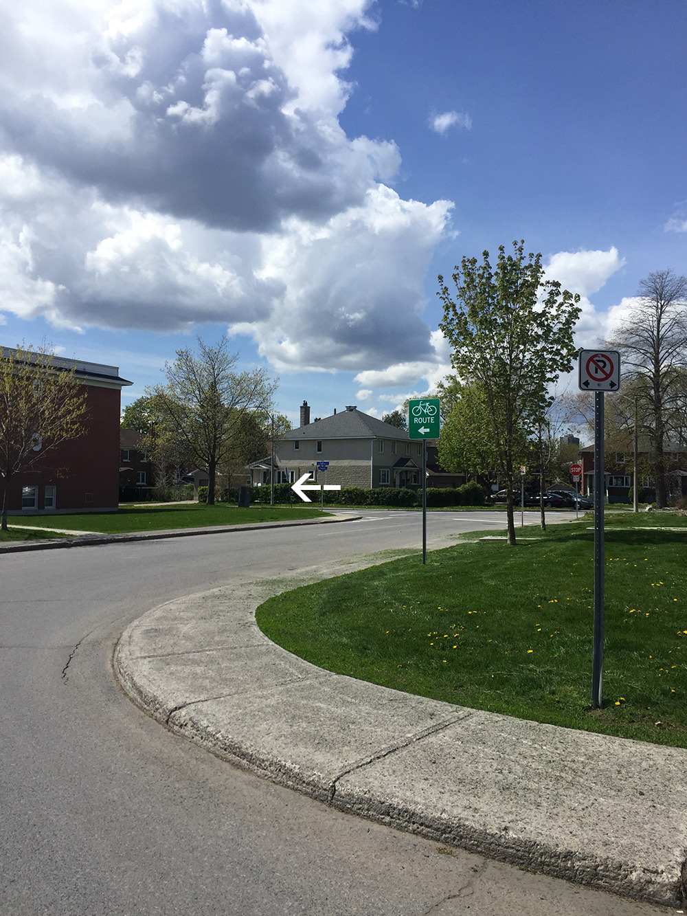
Just beyond the small beach in Parc Moussette take the exit off the path to Boulevard de Lucerne, then to Rue St-Dominique, then ride across the intersection of Boulevard Alexandre-Taché. Follow the bike path along Boulevard Alexandre-Taché linking Rue St-Dominique to the Moore Farm Pathway.

Ride up along the stone dust path through the heritage farm. The stone dust is pretty loose in some stretches, so if you have skinny tires you may have to push your bike along those short sections, or ride on the grassy edge of the path.

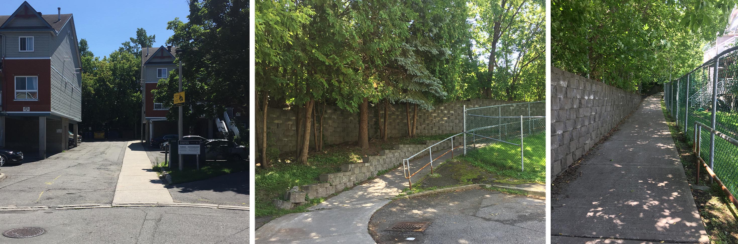
A bit further along the path just beyond the barn, turn right onto a smaller dirt path.

A short distance further along it becomes a packed gravel path. My guess is that it once was an railway bed.

The gravel path enventuaqlly veers left and becomes a a dirt trail through the woods. There are a few roots and rocks to negotiate along this path, but for the most part I found it to be well worn and easily negotiable on my hybrid bike.
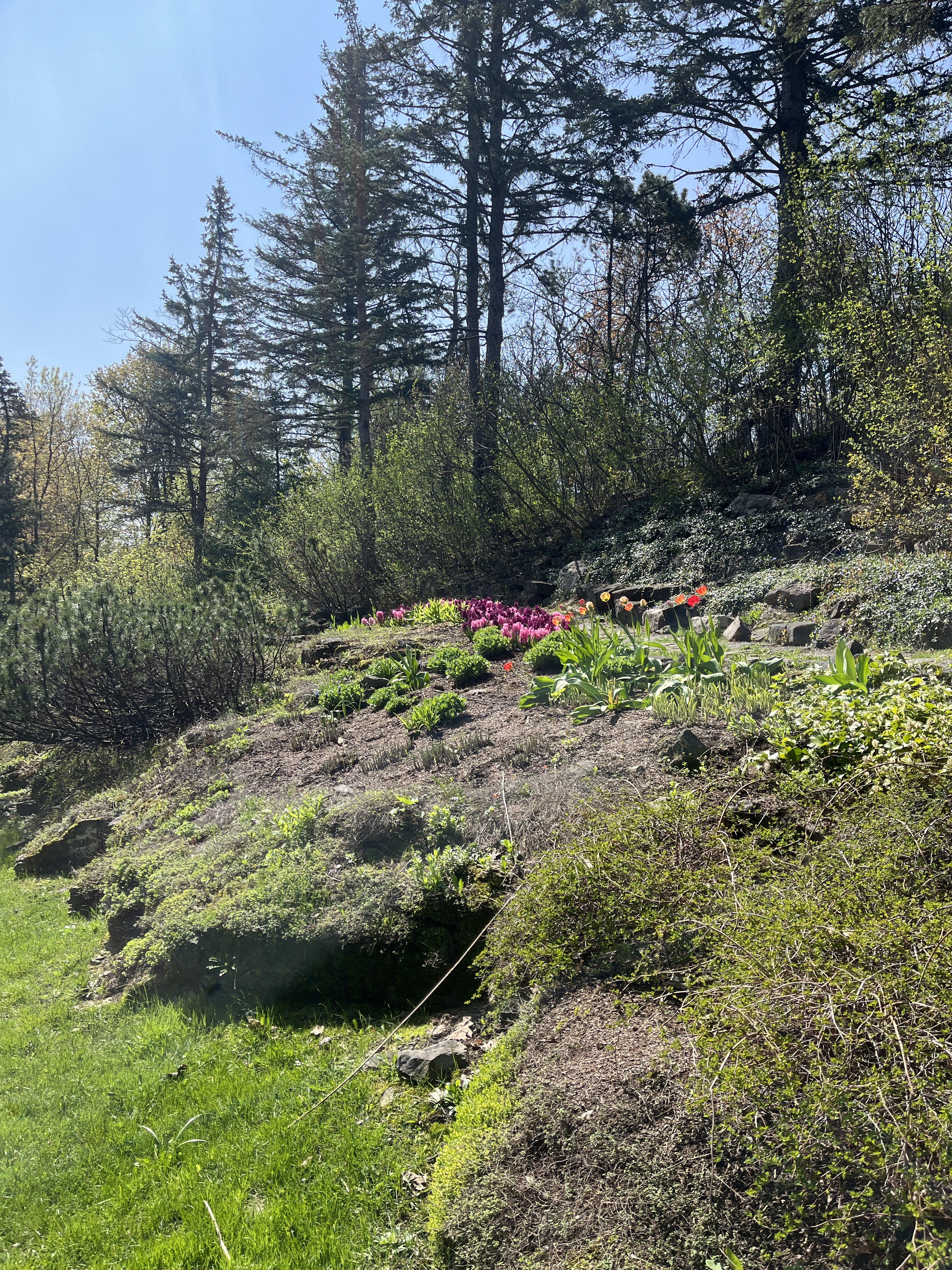
I started to notice a few trilliums immediately upon turning onto this dirt path. Gradually more and more appeared as I rode along, as they began to spread out on either side of the path. Absolutely magical.


Eventually the path arrives at an intersection. Unfortunately these paths aren’t marked. By heading straight ahead the path becomes more rugged and there’s a fenced off compound on the right. That’s a prison. Don’t want to go that way. Instead I turned left at the intersection.

The trail continues under some power lines. This monstrous hydro pole confirmed I was heading in the right direction.

Not too far along from the hydro lines the path gets a little rocky. I suggest walking your bike through this short section leading down to the paved Pioneers Pathway.


Continue along the Pioneers Pathway under the bridge and up to where it intersects the Gatineau Park Pathway. Turn left onto the Gatineau Park Pathway and followed it all the way back down to Boulevard Alexandre-Taché.

There are lights to get across Boulevard Alexandre-Taché to Rue Belleau, which has bike lanes.

At the end of Rue Belleau there is a link to the Voyageurs Pathway . Followed Voyageurs Pathway back to our starting point atthe Portage Bridge and across the river.
Et voila!